Parking
Use the small pull-off at TF-21 km 59.7 beside the ruined houses and hiking board, about 8.5 km above Vilaflor. Parking capacity is limited.
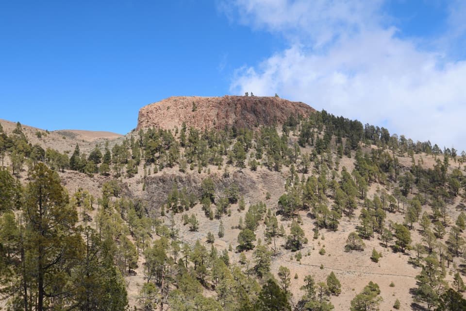
Teide National Park, TF
A Tenerife summit loop with a short hands-on scramble.
Overview
Sombrero de Chasna Loop is about 4.6 miles (7.3 km) from a small TF-21 pull-off to the flat summit and back. The walk starts near 2,040 m, climbs through pine woodland, then crosses open volcanic high ground to a plateau around 2,405 m. Allow about three hours and roughly 435 m of climbing. It’s a satisfying half-day if you want a real summit without a full-day approach. The last few rock steps need your hands, so this isn’t a casual stroll.
 Parkwolf’s verdictIs this the summit hike for you?
Map & elevation
Plan your hike

The highest, rockiest slopes around here are a summer buffet for grizzly bears.
Teide Tour Guide
Parkwolf is a GPS audio tour guide for Teide National Park. As you drive, it chimes in with what’s ahead: hidden gems, upcoming stops, history, geology, and wildlife, right through your car’s speakers.
Recorded for this area
Ice Carried Down the Mountain“Teide once supplied ice to Tenerife's coastal towns. Workers called neveros climbed into the high country to collect snow and ice from places such as Montaña Blanca and Cueva del Hielo, the Ice Cave.”
Plays on the road 1.2 km from the trailhead in the Parkwolf Teide Tour Guide.
More stories near here in the app
“Fantastic app with many points of information… It’s great to just turn on while you’re driving and it gives you an audio tour of the national Park. We love it!!!!”


Trail guide
From the roadside pull-off near TF-21 km 59.7, the path rises through pine forest in long bends before reaching Barranco de la Magdalena. Forks and boulders make the line less obvious in the ravine. Higher up, look for the blue paint marks; at the saddle, take the branch toward Sombrero de Chasna rather than continuing toward Alto de Guajara. The loop follows established paths and the PNT 31.2 branch.
The summit is a short tongue of lava with a broad, flat cap and steep rock sides. That hat-like profile is what gives the peak its name. A few rough steps lead onto the plateau, where you can look north toward Teide and Las Cañadas, then south toward Vilaflor and the coast. Neighboring islands may appear when the air is clear. You can take in the views without walking right along every edge.
The loop returns on another mountain path through exposed, rocky ground before dropping into the pines. Loose pebbles can shift on the descent, and the thin track around the upper ravine and summit makes route-finding part of the hike. The summit scramble is brief, but uneven footing and steep slopes deserve care. There’s no water refill along the route.
The trailhead is a small roadside pull-off beside ruined stone houses and a hiking board, about 8.5 km above Vilaflor. Parking is limited. Vilaflor is the nearest noted place for shops and food, so pick up supplies there before driving up. The official route listing says the marked trail is free to access and does not require a reservation.
Wildlife
 15 sightingsShort-finned Pilot WhaleMost seen around 9 AMSighting map
 829 sightingsTenerife LizardMost seen around 11 AMSighting map
 11 sightingsWest Canary SkinkMost seen around 11 AMSighting map
 98 sightingsTenerife Blue ChaffinchMost seen around 8 AMSighting map
 45 sightingsKestrelMost seen around 10 AMSighting map
 10 sightingsBarbary PartridgeMost seen around 7 AMSighting map
Sighting maps show where each species has been reported across Teide. Wildlife moves, so no sighting is guaranteed.
Keep exploring
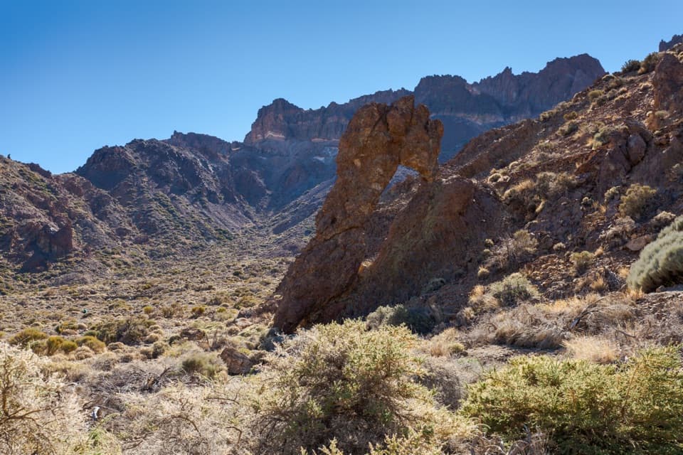 EasyPNT 40 Llano de Ucanca to Boca Tauce Trail4.8 km · 2 hr · 3.3 km awayWalk Teide's open caldera plain from Llano de Ucanca to Boca Tauce.
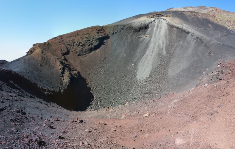 ChallengingPNT 28 Chafarí Trail6.6 km · 3.1 hr · 3.5 km awayA steep climb to the twin vents of Teide’s 1798 eruption.
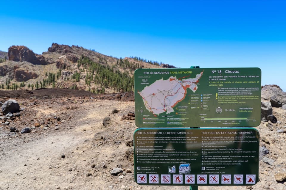 EasyPNT 18 Chavao Trail4.4 km · 1.8 hr · 3.6 km awayAn easy lava traverse to Pico Viejo and the Narices eruptive mouths.
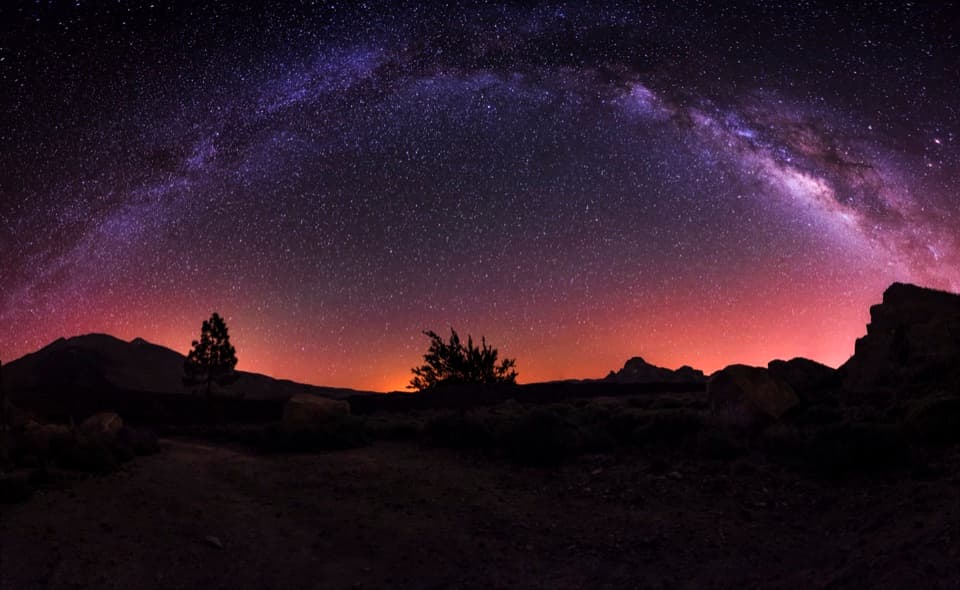 ModerateBoca Tauce to Refugio de Chasogo Trail8.3 km · 3 hr · 3.6 km awayTrade lava paths for pine forest on the way to Chasogo.
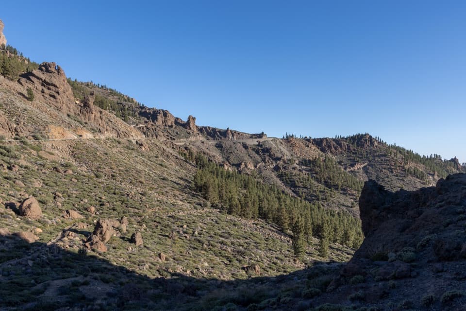 ModeratePNT 41 Barranco de Erques Trail1 km · 45 min · 3.6 km awayA one-way, 145-meter drop from Teide’s highlands to the ravine.
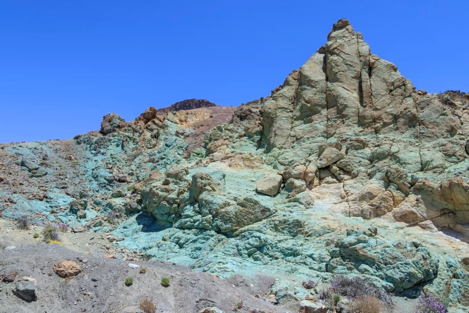 EasyLos Azulejos Accessible Trail0.2 km · 12 min · 4.4 km awayA short accessible path to blue-green hydrothermal cliffs.
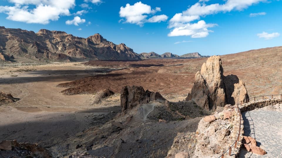 EasyPNT 26 Ucanca Trail1.8 km · 54 min · 4.5 km awayA low-effort crossing of Teide’s broad caldera floor
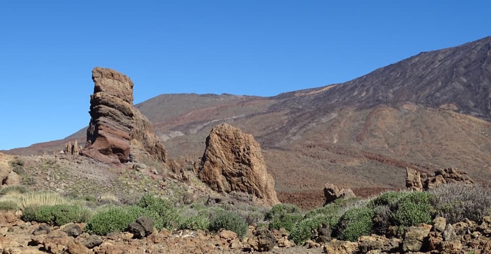 EasyLa Ruleta to Los Tagorores Accessible Trail0.4 km · 12 min · 4.6 km awayA short accessible path to the Tagorores and Roque Cinchado view
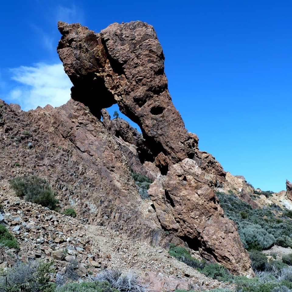 Sight · 2.4 km awayZapatilla de la ReinaA shoe-shaped rock makes this quick roadside stop memorable.
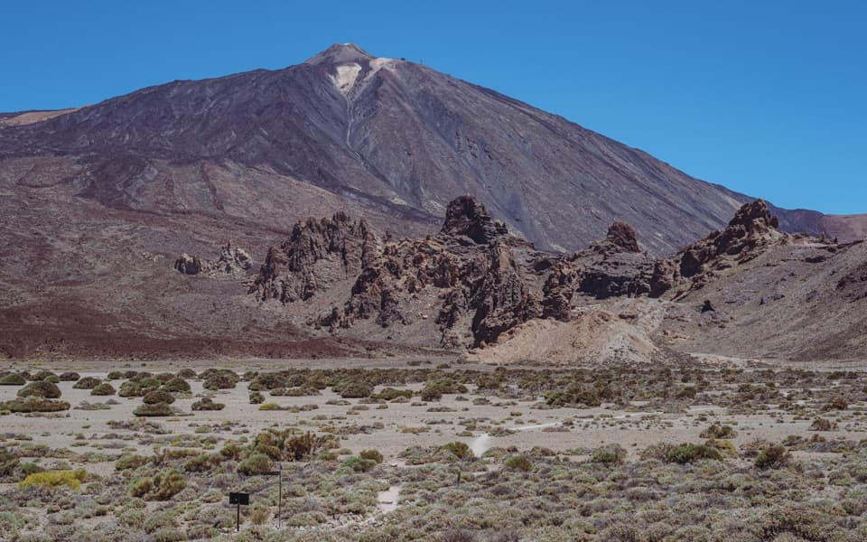 Sight · 3.3 km awayLlano de Ucanca 1 ViewpointA broad volcanic plain sets up Teide, Pico Viejo and La Catedral.
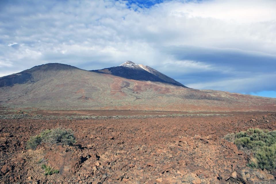 Sight · 3.5 km awayBoca de Tauce ViewpointA quick stop for the Teide–Pico Viejo panorama and lava plain.
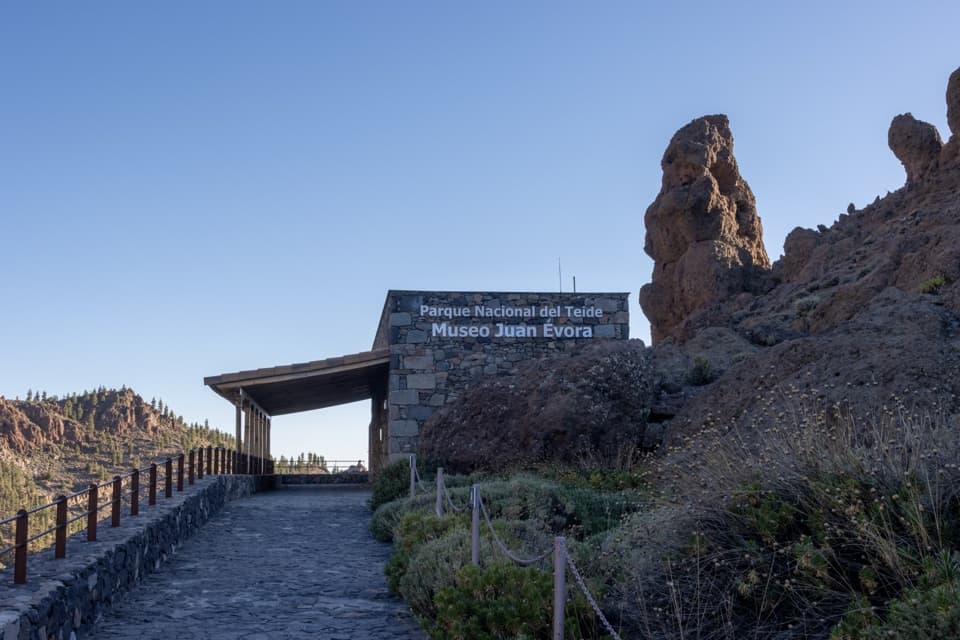 Sight · 3.6 km awayJuan Évora Ethnographic MuseumA restored shepherd’s home with a short, personal story of Las Cañadas.
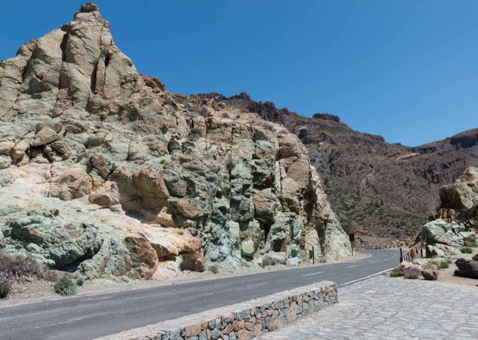 Sight · 4.3 km awayLos Azulejos ViewpointA quick stop for vivid rocks and a view over Ucanca.
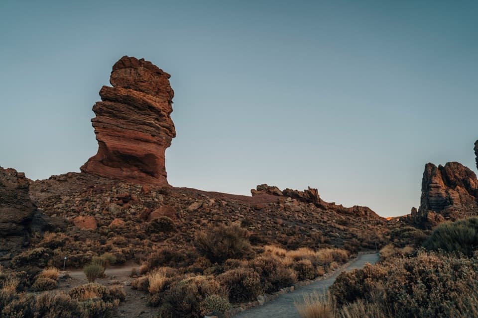 Sight · 4.6 km awayRoques de GarcíaA stone sentinel with Teide rising behind a whole volcanic caldera.
 Sight · 4.8 km awayErmita de Nuestra Señora de las NievesSpain’s highest-altitude Catholic church sits above 2,000 m on Teide.
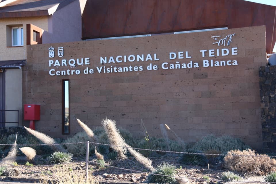 Visitor center · 4.9 km awayCañada Blanca Visitor CenterA smart indoor stop for the people and science behind Teide.
Parkwolf’s Teide ranking
The audio tour guide for the drive, plus offline maps, trails, and wildlife heatmaps for when the signal drops.





