Annaberg School Ruins in Virgin Islands National Park

Sight · Virgin Islands National Park

Annaberg School Ruins

A small school ruin with a long, difficult history.

Photo: National Park Service
Type
Sight
Nearest trail
0.3 mi
Audio stories
10 nearby
  • Trailhead
  • Scenic viewpoint

Hear the audio tour

Annaberg Sugar Plantation

Overview

About Annaberg School Ruins

Why stop

  • A short walk combines a schoolhouse ruin with Leinster Bay views.

Heads up

  • The remains are modest, so this is a brief history stop rather than a large site.

Map

Where it is

Loading the Virgin Islands map
Full map
SightAnnaberg School Ruins18.36395, -64.73557
Keep this map with you offline in the Parkwolf app

Plan your stop

Before you go

3 active Virgin Islands alerts

  • ClosureCaneel Bay: designated areas only; pier closedAt Caneel Bay, stay in designated public areas; other areas remain closed because of present safety risks, and the pier remains closed because it has been deemed unsafe.Official details
  • CautionModerate rip-current risk at U.S. Virgin Islands beachesThe National Weather Service reports a moderate rip-current risk for the U.S. Virgin Islands. - Choose a guarded or more protected beach and swim near a lifeguard.Official details

See all 3 alerts
A park ranger sits on a dash-mounted phone, talking, as Parkwolf’s Tour Guide plays “Army Cutworm Moths: A Grizzly Bear Buffet” on Grand Loop Road below Dunraven Pass in Yellowstone
Parkwolf Tour GuideThe highest, rockiest slopes around here are a summer buffet for grizzly bears.

Virgin Islands Tour Guide

Your drive to Annaberg School Ruins, narrated.

Parkwolf is a GPS audio tour guide for Virgin Islands National Park. As you drive, it chimes in with what’s ahead: hidden gems, upcoming stops, history, geology, and wildlife, right through your car’s speakers.

Recorded for this area

Annaberg Sugar Plantation
0:00 / 0:30
“You're approaching the access road for Annaberg Sugar Plantation. The hillside windmill and factory ruins make this a stop to keep if you want to understand the history behind the island scenery.”

Plays on the road 0.1 mi from Annaberg School Ruins in the Parkwolf Virgin Islands Tour Guide.

More stories near here in the app

  • Waterlemon Cay via Leinster Bay
  • Francis Bay Beach and Salt Pond Boardwalk
  • Watch the Bananaquit’s Beak
  • Maho Bay and Crossroads
  • 26 audio storiesacross Virgin Islands’s roads, triggered by GPS as you drive
  • Wildlife heatmapsfor White-tailed Deer, Green Iguana, Brown Pelican, and 13 more
  • Works offlinemaps, 22 trails, 42 places, and audio download before you lose signal
  • CarPlay readysimple controls built for the drive
★★★★★
“Fantastic app with many points of information… It’s great to just turn on while you’re driving and it gives you an audio tour of the national Park. We love it!!!!”
JMJamesApp Store review
Download Parkwolf on the App StoreGet Parkwolf on Google Play

4.7 from 8,600+ ratings

Guide

More about Annaberg School Ruins

A small, separate stopAnnaberg School Ruins are the remains of a modest Danish-era schoolhouse on a knoll above…

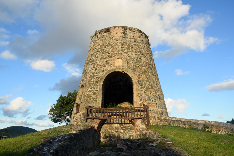
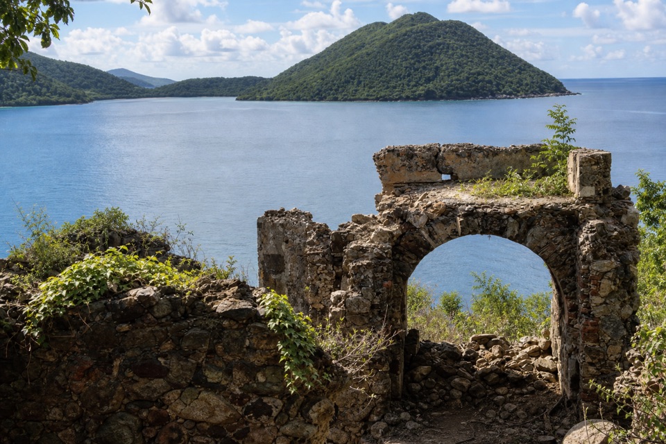
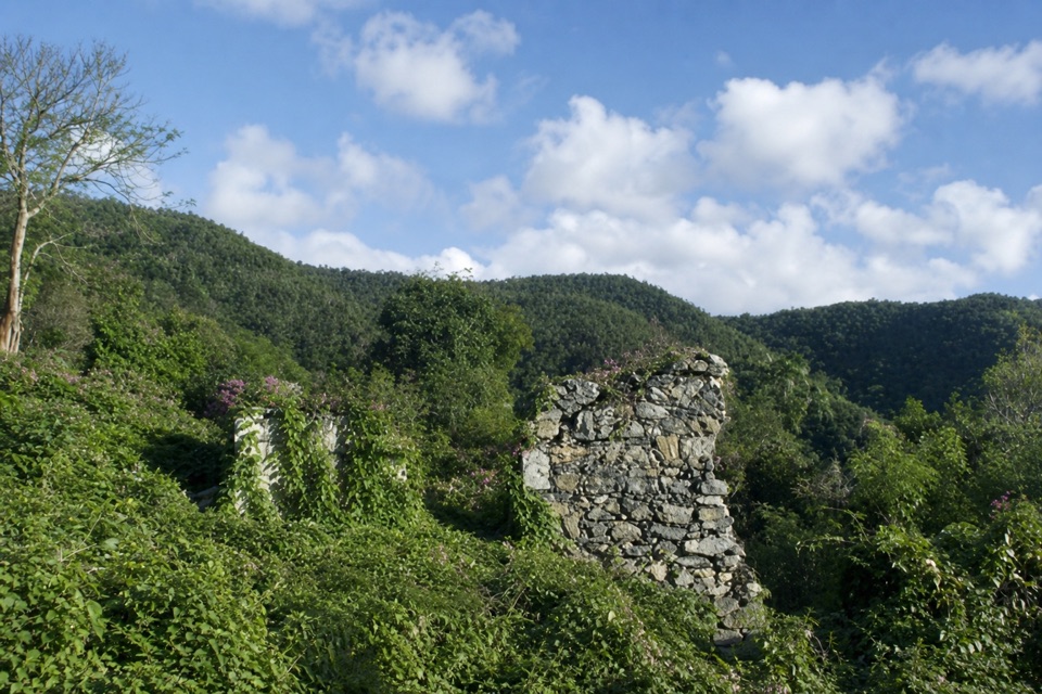
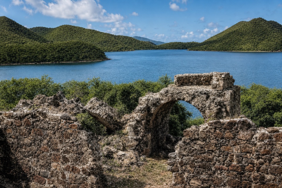
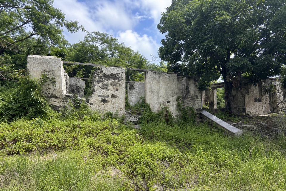
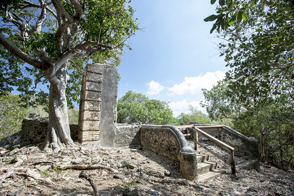
Annaberg School Ruins are the remains of a modest Danish-era schoolhouse on a knoll above Leinster Bay. This is a separate stop from the much larger Annaberg plantation ruins nearby: expect one small school site, not another plantation complex. A short path, described at roughly 0.2 mile with a gentle uphill grade, leads from roadside access near the Francis Bay and Annaberg junction. Parking for this path isn't clearly documented, so don't assume the plantation's facilities serve it.

A school built during a turning pointThe school was part of a compulsory-education effort begun in 1839 and was intended to serve…

The school was part of a compulsory-education effort begun in 1839 and was intended to serve children on six nearby estates, including children of enslaved workers. Construction was underway by 1847; the school opened in 1856 and closed by 1861. That history makes this modest ruin a sobering reminder of how education, enslavement and estate life met on St. John.

Its last chapter is uncertainA local account links the school's destruction to the 1867 hurricane and earthquakes, but the…

A local account links the school's destruction to the 1867 hurricane and earthquakes, but the historical record has not confirmed that explanation. The building may instead have been left behind as life on the island changed after emancipation. The school’s opening and closure are documented more clearly than its final years.

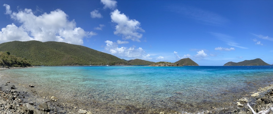
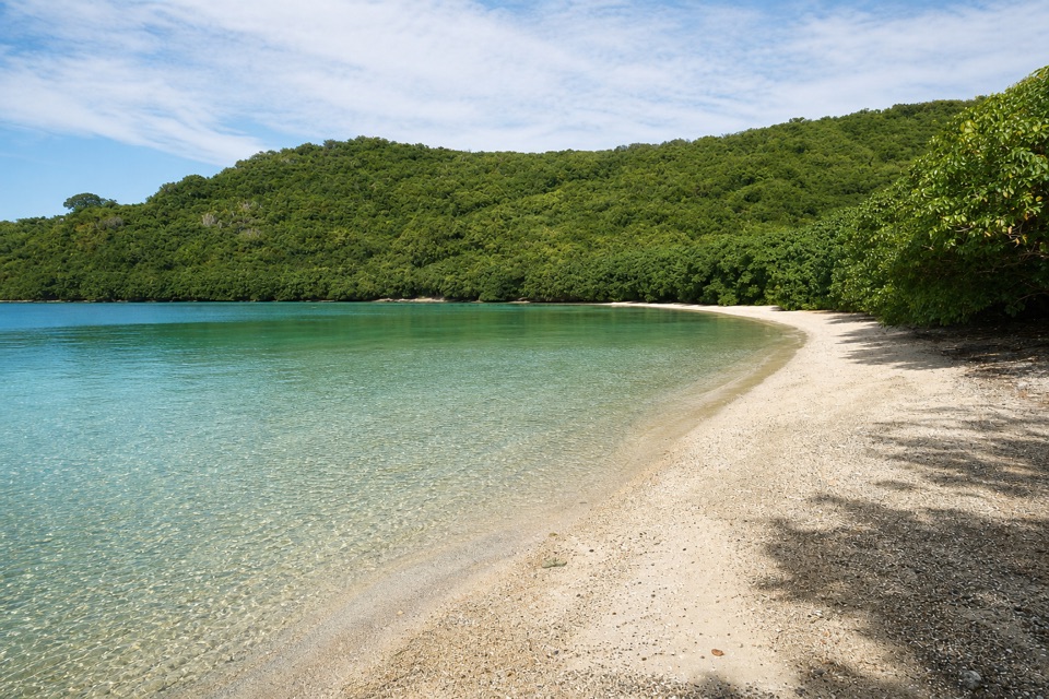
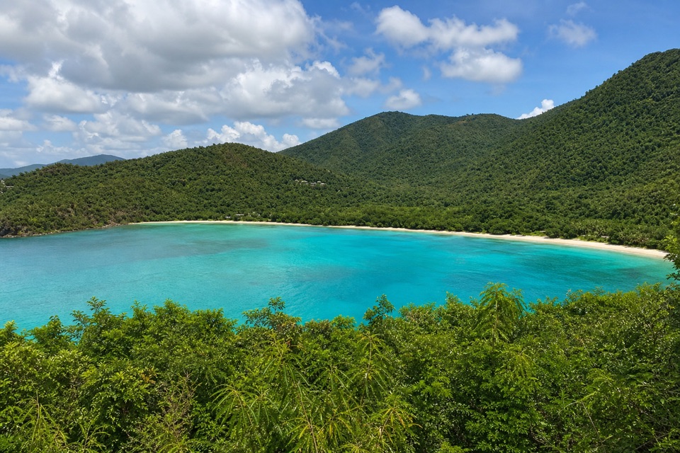
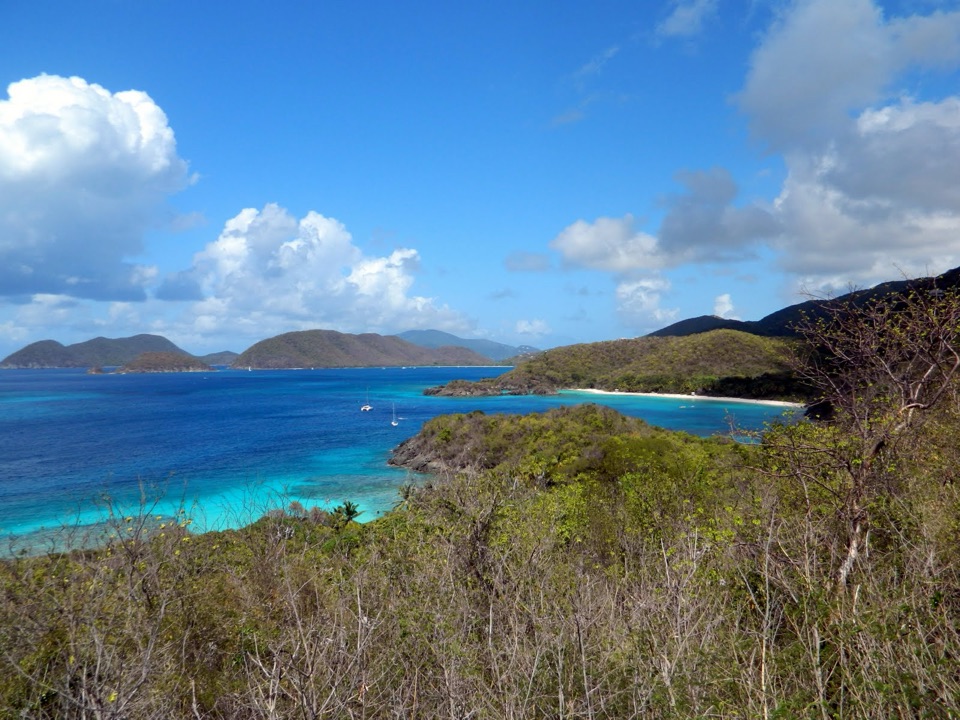
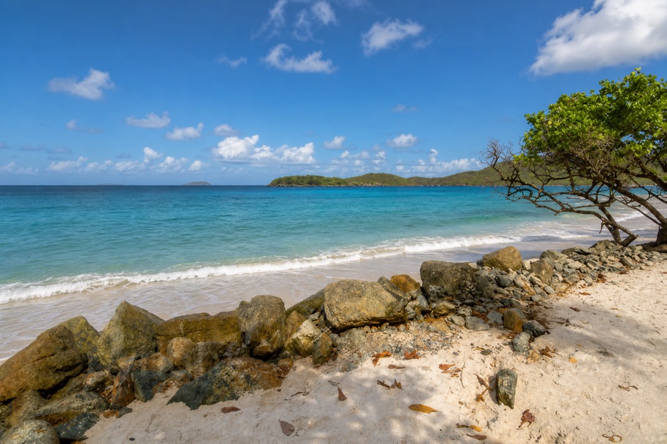
Look out over Leinster BayThe hillside setting opens toward Mary Point and Leinster Bay, with Tortola in the distance.

The hillside setting opens toward Mary Point and Leinster Bay, with Tortola in the distance. For a photo that explains the stop, include a piece of the stone wall in the foreground and the bay beyond; the mix of masonry, trees and water is more distinctive than a close-up of the foundation alone.

Wildlife

Wildlife in Virgin Islands

All Virgin Islands wildlife maps

Sighting maps show where each species has been reported across Virgin Islands. Wildlife moves, so no sighting is guaranteed.

Keep exploring

Near Annaberg School Ruins

See it all on the map

Trails nearby

More stops nearby

Parkwolf’s Virgin Islands ranking

Top sights in Virgin Islands

All 42 places
  1. 1Trunk Bay BeachBeach
  2. 2Maho Bay BeachBeach
  3. 3Annaberg Sugar PlantationSight
  4. 4Cinnamon Bay BeachBeach
  5. 5Waterlemon CaySight
  6. 6Reef Bay PetroglyphsSight

Take Parkwolf to Virgin Islands.

The audio tour guide for the drive, plus offline maps, trails, and wildlife heatmaps for when the signal drops.

4.7 from 8,600+ ratings

Download Parkwolf on the App StoreGet Parkwolf on Google Play