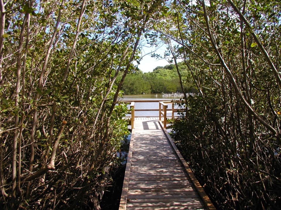
Johnny Horn Trail in Virgin Islands National Park

Virgin Islands National Park, VI

Johnny Horn Trail

Stone ruins and ridge views on a steep bay-to-harbor traverse.

Photo: Public Domain
Length
1.8mi
Time
3hr
Elev. change
472ft
Difficulty
Challenging
  • Dogs allowed
  • High point 518 ft

Hear the audio tour

Waterlemon Cay via Leinster Bay

Overview

About Johnny Horn Trail

Why go

  • Historic ruins and changing views from Leinster Bay to Coral Bay
  • A direct ridge traverse with a clear Coral Bay finish

Heads up

  • Steep, rocky and sun-exposed sections
  • One-way endpoints require transport or a return walk

Map & elevation

The route

Loading the Virgin Islands map
Full map
Elevation46–518 ft
TrailheadEast end of Waterlemon Bay beach18.36519, -64.72060
Keep this map with you offline in the Parkwolf app

Plan your hike

Before you go

Parking

Start from the access at the end of Leinster Bay, then follow the Leinster Bay approach to the east end of Waterlemon Bay beach. The named route ends on paved road beside Emmaus Moravian Church in Coral Bay, so arrange a pickup or plan to walk back.

Safety

Steep, rocky, sun-exposed climbing and a quick descent toward Coral Bay; carry plenty of water. Some sections on the Coral Bay side pass private inholdings, so stay on the signed route.

1 active Virgin Islands alert

  • ClosureCaneel Bay restricted areas and closed pierAt Caneel Bay, use only designated public areas; other areas and the pier remain closed. - Areas beyond the public areas remain closed because of present safety risks.Official details
Virgin Islands alerts
A park ranger sits on a dash-mounted phone, talking, as Parkwolf’s Tour Guide plays “Army Cutworm Moths: A Grizzly Bear Buffet” on Grand Loop Road below Dunraven Pass in Yellowstone
Parkwolf Tour GuideThe highest, rockiest slopes around here are a summer buffet for grizzly bears.

Virgin Islands Tour Guide

Your drive to Johnny Horn Trail, narrated.

Parkwolf is a GPS audio tour guide for Virgin Islands National Park. As you drive, it chimes in with what’s ahead: hidden gems, upcoming stops, history, geology, and wildlife, right through your car’s speakers.

Recorded for this trailhead

Waterlemon Cay via Leinster Bay
0:00 / 0:24
“You're nearing the Leinster Bay trailhead, the walking access for Waterlemon Cay.”

Plays as you drive up to this trailhead in the Parkwolf Virgin Islands Tour Guide.

More stories near here in the app

  • The Firewood Delivery at Coral Bay
  • Annaberg Sugar Plantation
  • Watch the Bananaquit’s Beak
  • Francis Bay Beach and Salt Pond Boardwalk
  • 26 audio storiesacross Virgin Islands’s roads, triggered by GPS as you drive
  • Wildlife heatmapsfor White-tailed Deer, Green Iguana, Brown Pelican, and 13 more
  • Works offlinemaps, 22 trails, 42 places, and audio download before you lose signal
  • CarPlay readysimple controls built for the drive
★★★★★
“Fantastic app with many points of information… It’s great to just turn on while you’re driving and it gives you an audio tour of the national Park. We love it!!!!”
JMJamesApp Store review
Download Parkwolf on the App StoreGet Parkwolf on Google Play

4.7 from 8,600+ ratings

Trail guide

Hiking Johnny Horn Trail

The full traverseJohnny Horn Trail is a 1.

Johnny Horn Trail is a 1.8-mile point-to-point hike from the east end of Waterlemon Bay beach to the paved road beside Emmaus Moravian Church in Coral Bay. It is a strenuous cross-ridge walk, not a loop. Plan on two to four hours, plus time for side trails and the transfer between ends. Walking the named route back the other way makes 3.6 miles before any access connector. The Leinster Bay approach to Waterlemon is separate from the 1.8-mile trail.

Ruins above Leinster BayThe path climbs steeply from the beach, with rocky footing and long stretches exposed to the…

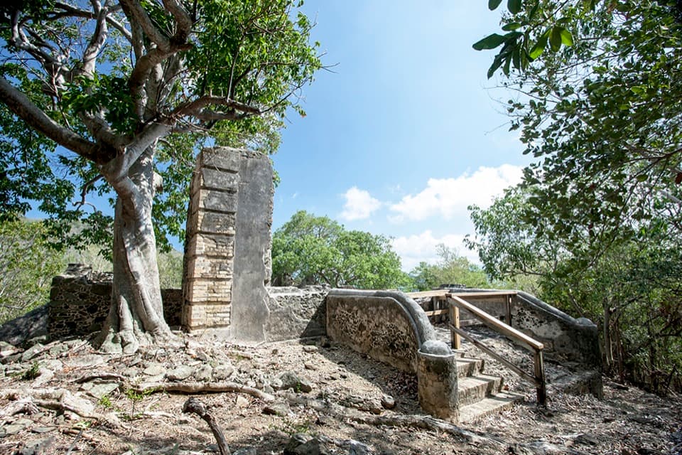
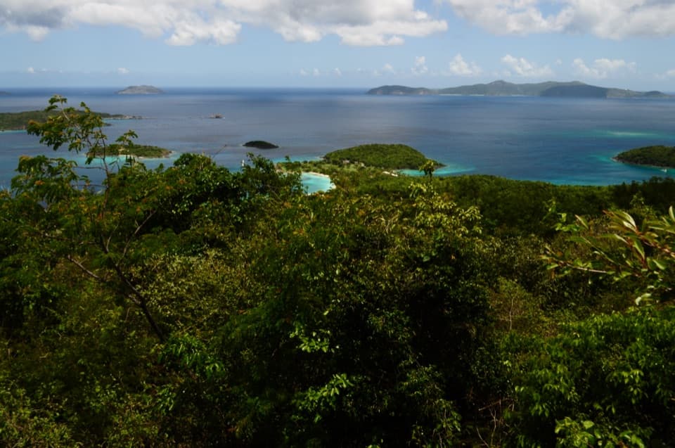
The path climbs steeply from the beach, with rocky footing and long stretches exposed to the sun. Historic masonry appears on both sides of the route. Short spurs reach the remains of a Danish guardhouse at Leinster Point and the James Murphy estate house on Windy Hill; treat these as optional detours, not part of the main route. The guardhouse sits above the Narrows and Sir Francis Drake Channel, and the ridge opens toward Tortola. At the ruined arch, frame the opening around the bay and the green ridge beyond.

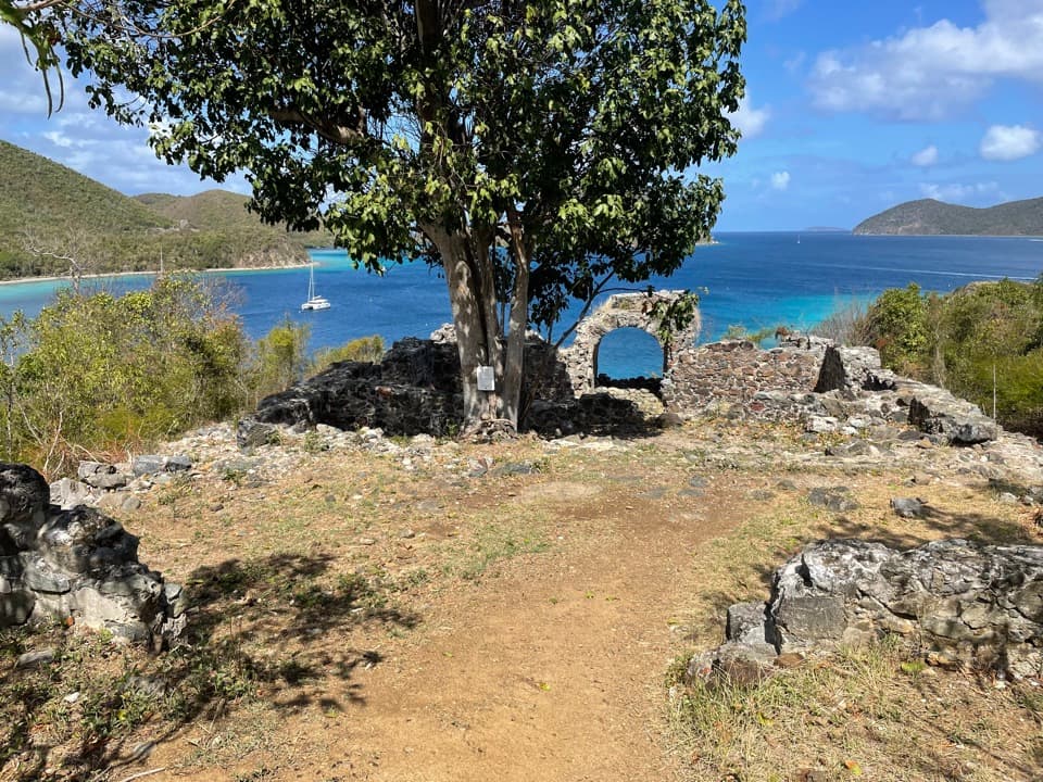
Stay on Johnny Horn past Brown BayAt about 0.7 mile, Brown Bay Trail branches off.

At about 0.7 mile, Brown Bay Trail branches off. Continue on Johnny Horn along the ridge, where relatively level stretches offer views over Leinster Bay, the Narrows and the Sir Francis Drake Channel. The route then descends, crosses a gut and climbs steeply to the improved dirt road near Base Hill. A left spur adds views toward Hurricane Hole and rejoins the main route near the road; the through route continues toward Coral Bay.

Down to Coral BayFrom Base Hill, the main trail drops quickly on a rough road to the paved road by the church.

From Base Hill, the main trail drops quickly on a rough road to the paved road by the church. The Coral Bay side passes private inholdings in places, so stay on the signed route. The finish is a different access point from the beach start: arrange a pickup or plan to retrace your steps rather than expecting a loop.

Before you set outBring plenty of water and sturdy shoes; the steep, sunny climb is most comfortable early or…

Bring plenty of water and sturdy shoes; the steep, sunny climb is most comfortable early or late in the day. The National Park Service lists the trail as open year-round and allows pets. Bring enough water for the full traverse; no on-route water is listed.

Wildlife

Wildlife in Virgin Islands

All Virgin Islands wildlife maps

Sighting maps show where each species has been reported across Virgin Islands. Wildlife moves, so no sighting is guaranteed.

Keep exploring

Near Johnny Horn Trail

See it all on the map

Trails that start nearby

Places near the trailhead

Parkwolf’s Virgin Islands ranking

Top-rated trails in Virgin Islands

All 22 trails
  1. 1Ram Head TrailChallenging · 2.6 mi
  2. 2Leinster Bay TrailEasy · 1.6 mi
  3. 3Caneel Hill TrailChallenging · 4.3 mi
  4. 4America Hill TrailModerate · 1.2 mi
  5. 5Francis Bay TrailEasy · 0.8 mi
  6. 6Peace Hill TrailEasy · 0.2 mi

Take Parkwolf to Virgin Islands.

The audio tour guide for the drive, plus offline maps, trails, and wildlife heatmaps for when the signal drops.

4.7 from 8,600+ ratings

Download Parkwolf on the App StoreGet Parkwolf on Google Play