Mary Point Great House Ruins in Virgin Islands National Park

Sight · Virgin Islands National Park

Mary Point Great House Ruins

A small ruin with a long, layered estate story.

Type
Sight
Nearest trail
Right here
Audio stories
10 nearby
  • Trailhead
  • Parking

Hear the audio tour

Francis Bay Beach and Salt Pond Boardwalk

Overview

About Mary Point Great House Ruins

Why stop

  • A compact stop with a rare paper trail back to 1738.

Heads up

  • Overgrown, unstable walls can only be viewed from outside.

Map

Where it is

Loading the Virgin Islands map
Full map
SightMary Point Great House Ruins18.36546, -64.74140
Keep this map with you offline in the Parkwolf app

Plan your stop

Before you go

3 active Virgin Islands alerts

  • ClosureCaneel Bay: designated areas only; pier closedAt Caneel Bay, stay in designated public areas; other areas remain closed because of present safety risks, and the pier remains closed because it has been deemed unsafe.Official details
  • CautionModerate rip-current risk at U.S. Virgin Islands beachesThe National Weather Service reports a moderate rip-current risk for the U.S. Virgin Islands. - Choose a guarded or more protected beach and swim near a lifeguard.Official details

See all 3 alerts
A park ranger sits on a dash-mounted phone, talking, as Parkwolf’s Tour Guide plays “Army Cutworm Moths: A Grizzly Bear Buffet” on Grand Loop Road below Dunraven Pass in Yellowstone
Parkwolf Tour GuideThe highest, rockiest slopes around here are a summer buffet for grizzly bears.

Virgin Islands Tour Guide

Your drive to Mary Point Great House Ruins, narrated.

Parkwolf is a GPS audio tour guide for Virgin Islands National Park. As you drive, it chimes in with what’s ahead: hidden gems, upcoming stops, history, geology, and wildlife, right through your car’s speakers.

Recorded for this place

Francis Bay Beach and Salt Pond Boardwalk
0:00 / 0:33
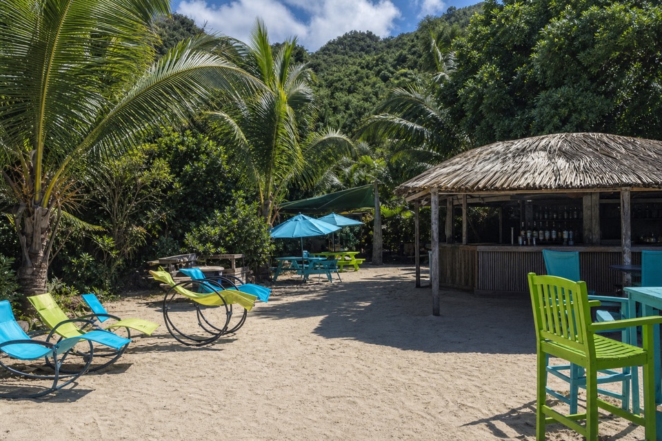
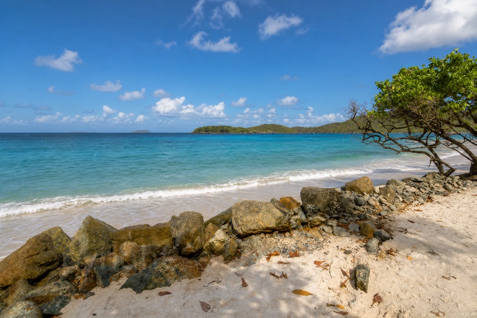
“Francis Bay's upper trail access is coming up, for a beach day with a salt-pond birding stop. If swimming and the boardwalk are your main aim, use the beach-end parking for the easier approach.”

Plays as you drive up to Mary Point Great House Ruins in the Parkwolf Virgin Islands Tour Guide.

More stories near here in the app

  • Annaberg Sugar Plantation
  • Maho Bay and Crossroads
  • Waterlemon Cay via Leinster Bay
  • Maho Bay Overlook
  • 26 audio storiesacross Virgin Islands’s roads, triggered by GPS as you drive
  • Wildlife heatmapsfor White-tailed Deer, Green Iguana, Brown Pelican, and 13 more
  • Works offlinemaps, 22 trails, 42 places, and audio download before you lose signal
  • CarPlay readysimple controls built for the drive
★★★★★
“Fantastic app with many points of information… It’s great to just turn on while you’re driving and it gives you an audio tour of the national Park. We love it!!!!”
JMJamesApp Store review
Download Parkwolf on the App StoreGet Parkwolf on Google Play

4.7 from 8,600+ ratings

Guide

More about Mary Point Great House Ruins

A small detour on the Francis Bay TrailThe Mary Point Great House is a partly standing estate house of stone walls in brush near the…

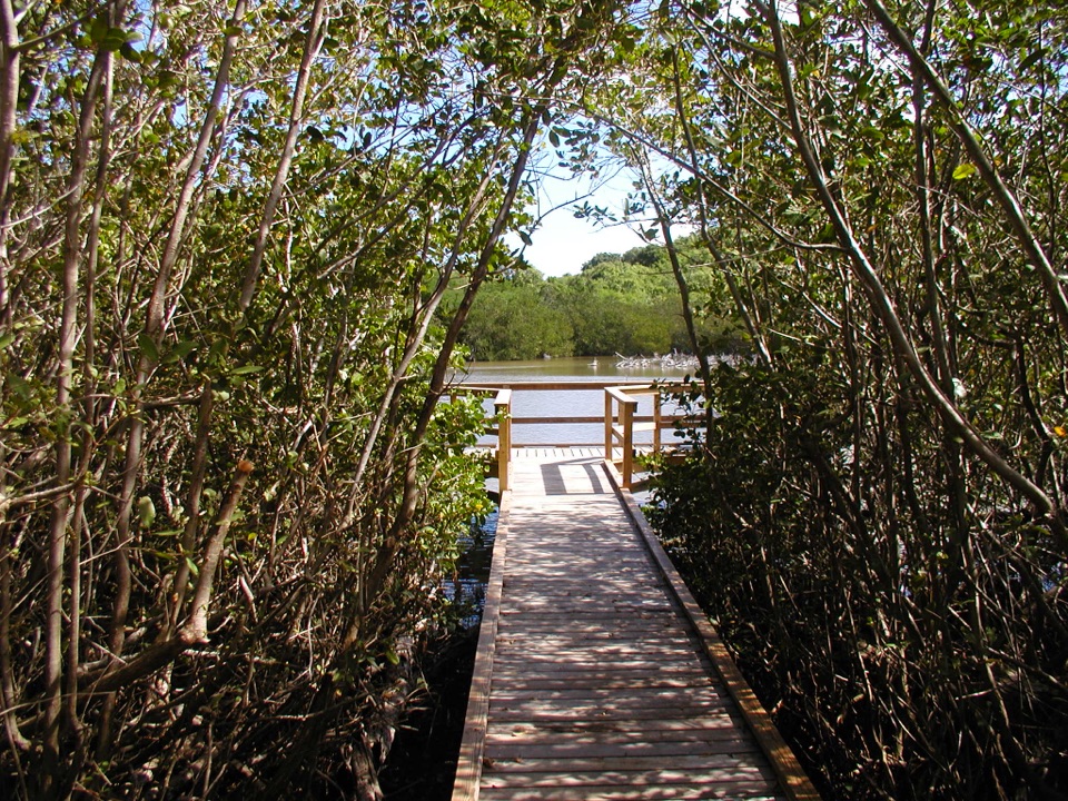
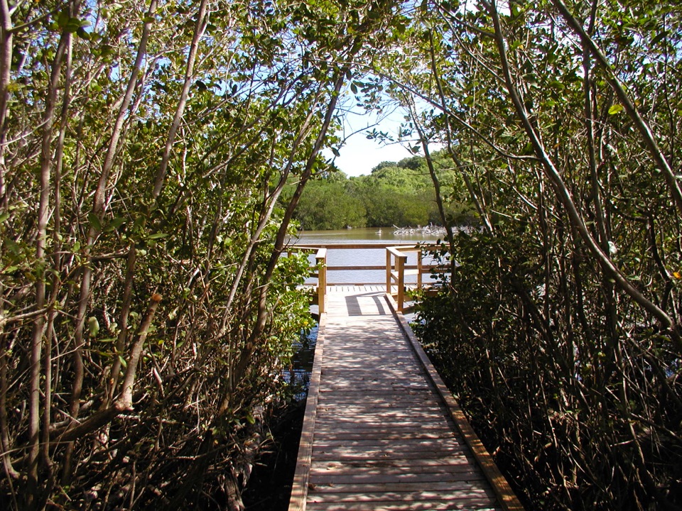
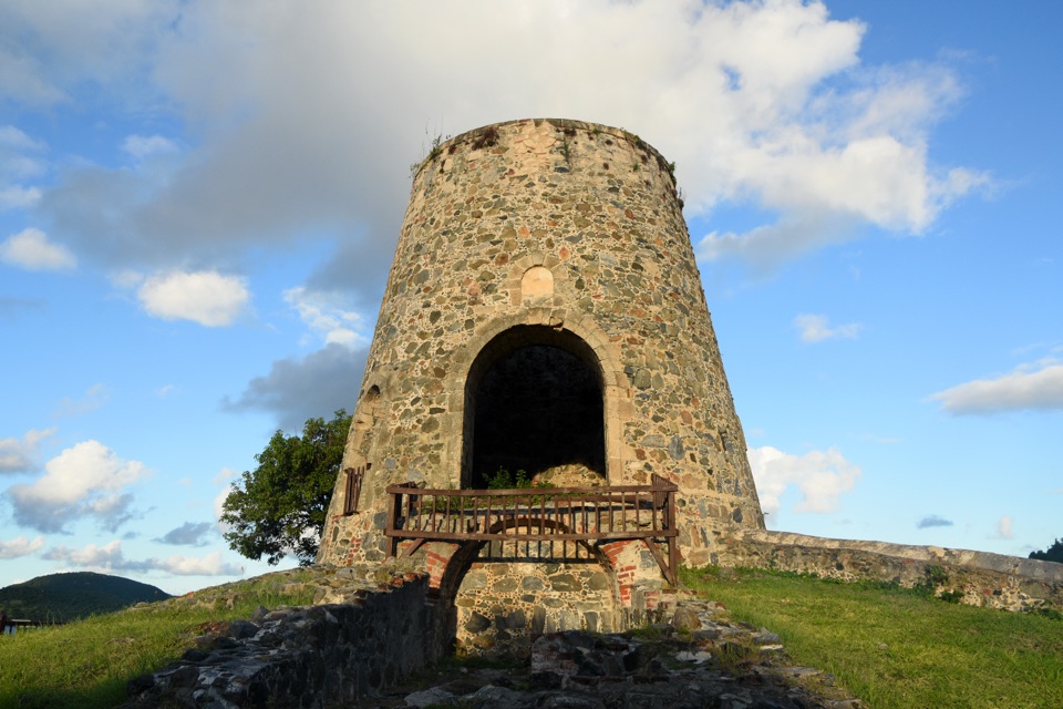
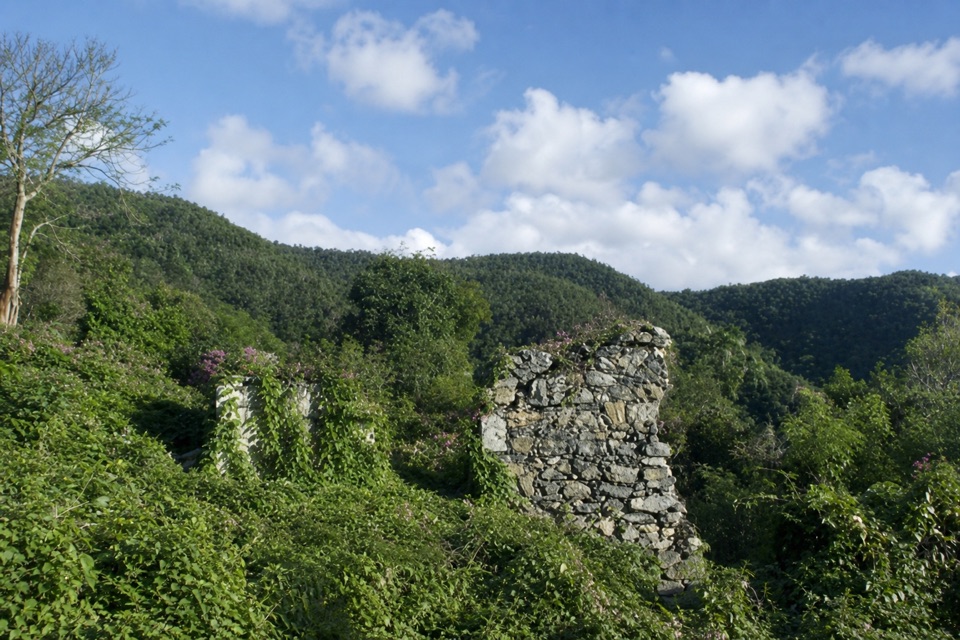
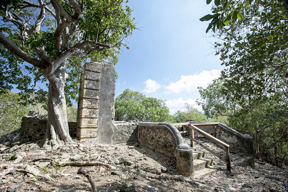
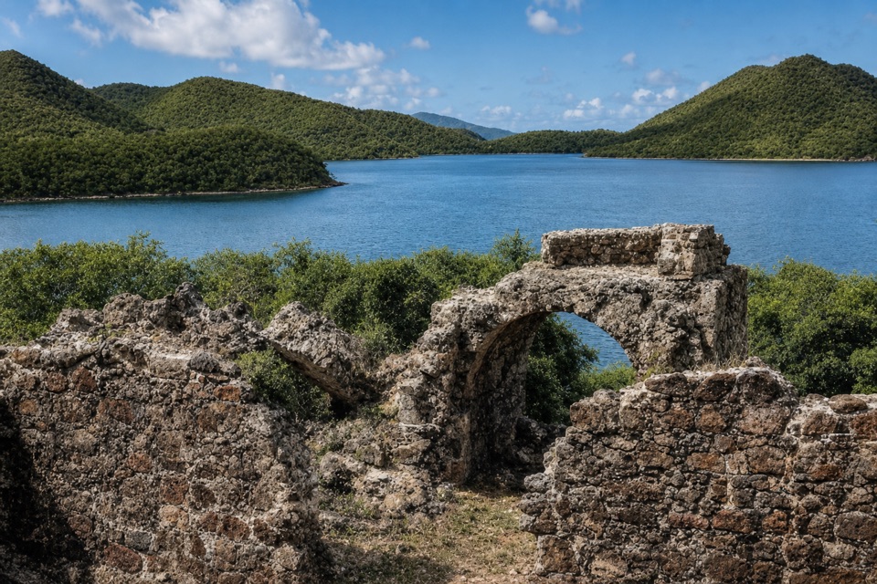
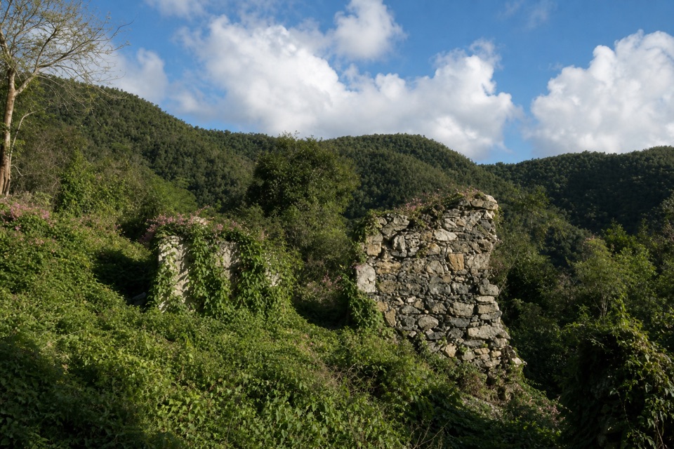
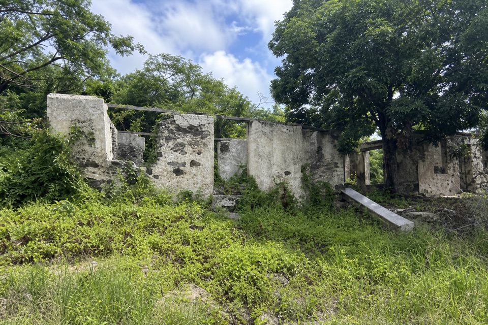
The Mary Point Great House is a partly standing estate house of stone walls in brush near the start of the Francis Bay Trail. It is a fragmentary historic stop, not a restored building with rooms to walk through. The trail begins at parking by the Francis Bay Boiling House, but that chimney and stone building are a separate ruin. Stay outside the standing walls: the house has been described as unstable, and its rough spur is different from the accessible boardwalk beside the salt pond.

An estate shaped by slaveryThe land's documented history reaches at least a deed dated August 20, 1738, when Franz Claasen…

The land's documented history reaches at least a deed dated August 20, 1738, when Franz Claasen received property after helping the van Stell family during the 1733 uprising. Claasen was one of St. John's early free-colored plantation owners. Probate records at his death in 1780 list nine enslaved people on the estate, a reminder that this landscape's story includes forced labor as well as landholding and agriculture.

Reconstruct the great house from outsideThe standing remains appear to be a later home used by the Creque family, built over an earlier…

The standing remains appear to be a later home used by the Creque family, built over an earlier plantation house shown on an 1780 survey and an 1800 map. The later house had a timber-framed upper story and a roofed gallery; its tile floor and concrete railing were among the better-preserved details. An attached cookhouse had five ovens beneath a stone hood, with a freshwater well behind the gallery. Look for the gallery floor and room openings from a safe distance. Framing one opening against another wall helps show the house's layered layout without entering the unstable masonry.

Wildlife

Wildlife in Virgin Islands

All Virgin Islands wildlife maps

Sighting maps show where each species has been reported across Virgin Islands. Wildlife moves, so no sighting is guaranteed.

Keep exploring

Near Mary Point Great House Ruins

See it all on the map

Trails nearby

More stops nearby

Parkwolf’s Virgin Islands ranking

Top sights in Virgin Islands

All 42 places
  1. 1Trunk Bay BeachBeach
  2. 2Maho Bay BeachBeach
  3. 3Annaberg Sugar PlantationSight
  4. 4Cinnamon Bay BeachBeach
  5. 5Waterlemon CaySight
  6. 6Reef Bay PetroglyphsSight

Take Parkwolf to Virgin Islands.

The audio tour guide for the drive, plus offline maps, trails, and wildlife heatmaps for when the signal drops.

4.7 from 8,600+ ratings

Download Parkwolf on the App StoreGet Parkwolf on Google Play