Pros & cons
PROS
- Short spur with sweeping views over Cruz Bay and nearby islands
- Easy add-on to hikes toward Solomon and Honeymoon beaches
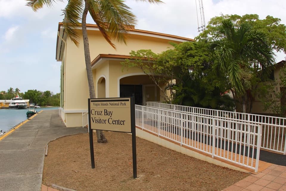
- Well-signed route from the Visitor Center
CONS
- No amenities at the overlook itself
- Initial climb can be hot and rocky; parking near trailheads fills early
Overview
Lind Point Overlook is the quick-payoff viewpoint on the Lind Point Trails network, sitting about 0.4 miles from the Cruz Bay Visitor Center and around 160 feet above the harbor. It’s a classic warm-up hike with big views of Cruz Bay, St. Thomas, and the surrounding cays, plus a peek at the historic gun battery site nearby. Expect a dry-forest, cactus-scrub setting and a mostly shaded approach after the initial sunny stretch.
What You'll See
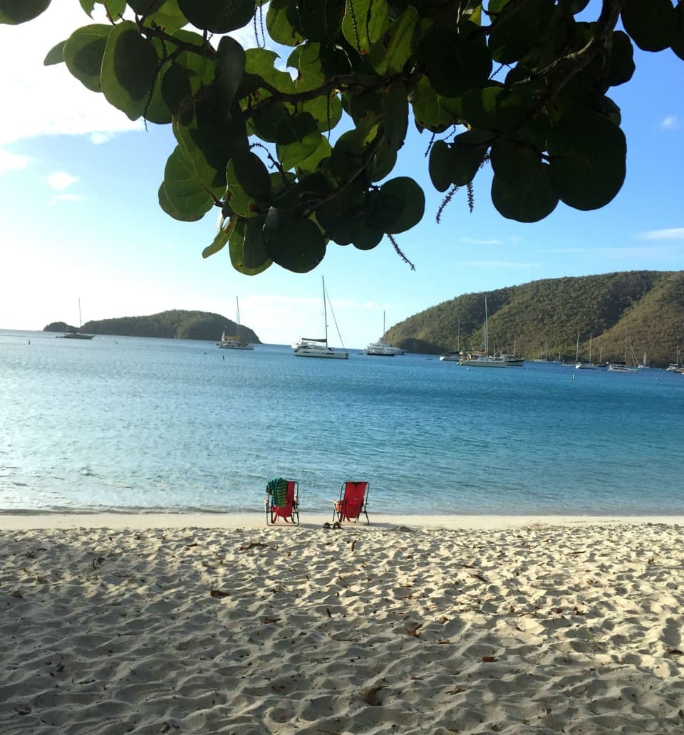
- Wide, unobstructed harbor vistas where you can watch ferries and sailboats cruising in and out of Cruz Bay.
- Coastal ridgelines and islands on the horizon—great for a short photo stop before continuing to the beaches.
- Along the trail, keep an eye out for coastal birds and the occasional feral donkey.
Getting There
Start up the stairs behind the National Park Visitor Center in Cruz Bay; the trails are well signed and the overlook spur is obvious. There’s also an upper access from North Shore Road with gravel parking near a large park sign. Surfaces are packed dirt with rocks and roots—sturdy footwear is your friend. Fast hikers can reach the overlook in about 15 minutes.
Make It a Beach Combo
From the overlook, continue on the Lind Point Trails to two different vibes:
- Solomon Beach: Quiet and undeveloped; bring everything you need and pack it out. Snorkeling is best along the rocky edges.
- Honeymoon Beach: Popular and shaded, with a concession that may offer drinks, snacks, rentals, and tours when operating.
Essentials to Know
There are no facilities at the overlook. Use restrooms at the Visitor Center before you start. Bring plenty of water and sun protection, especially for the first, sunnier climb. If you’re driving, parking near trailheads can be tight—go early. Maps are available at the Visitor Center.
Best Time to Visit
Early morning is ideal for cooler temps, lighter crowds, and easier parking. If you’re planning a beach day, start early for quieter sand time and consider hiking in and taking a shuttle out from the Caneel Bay side when available.
Where it is
18.3349, -64.7971Tips for Lind Point Overlook
- 01Start at the stairs behind the Visitor Center and grab a paper map.
- 02Use the Visitor Center restrooms; there are none at the overlook.
- 03Wear closed-toe shoes—the first climb is sunny and the trail is rocky in spots.
- 04If parking in Cruz Bay is packed, try the North Shore Road access.
- 05Hike to the overlook, then drop to Solomon for quiet or Honeymoon for services.
Amenities
Near Lind Point Overlook
All places →All trails →
0.2 mi awaySalomon Bay TrailShort, shady hike to a quiet, snorkel-ready cove.Moderate · 2 mi · 1 hr
0.3 mi awayVirgin Islands National Park Visitor CenterBest first stop steps from the ferry with trail accessTrailhead · Restroom
0.3 mi awayLind Point TrailShaded Cruz Bay path to Salomon and Honeymoon BeachEasy · 2 mi · 1 hr
0.3 mi awaySalomon BeachQuiet, hike-in beach with clear water and easy snorkel
0.5 mi awayHoneymoon BeachShady, calm bay for easy snorkeling plus a low-key beach barRestroom · Parking
0.7 mi awayCaneel Hill OverlookSteep climb to a wooden deck with sweeping bay-and-island viewsScenic Viewpoint
1.7 mi awayPeace Hill TrailFive-minute climb to sweeping bays and a windmill ruinEasy · 0.2 mi · 6 min
1.7 mi awayDenis Bay TrailQuick drop to a quiet, shaded beach with smart snorkel optionsEasy · 0.4 mi · 12 min