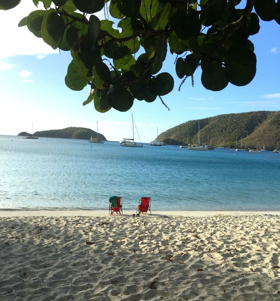
Salomon Beach in Virgin Islands National Park

Beach · Virgin Islands National Park

Salomon Beach

A quiet hike-in beach with reef nearby.

Photo: Wikimedia Commons
Type
Beach
Nearest trail
0.4 mi
Audio stories
9 nearby
  • Trailhead
  • Parking
  • #17 of 38 sights

Hear the audio tour

Lind Point, Honeymoon and Salomon Beaches

Overview

About Salomon Beach

Why stop

  • Hike-in access often gives the beach a quieter feel.
  • Several coral types are found around the nearby rocky point.

Heads up

  • Rocky trail and beach entry take extra effort.

Map

Where it is

Loading the Virgin Islands map
Full map
BeachSalomon Beach18.33903, -64.79387
Keep this map with you offline in the Parkwolf app

Plan your stop

Before you go

1 active Virgin Islands alert

  • ClosureCaneel Bay restricted areas and closed pierAt Caneel Bay, use only designated public areas; other areas and the pier remain closed. - Areas beyond the public areas remain closed because of present safety risks.Official details
Virgin Islands alerts
A park ranger sits on a dash-mounted phone, talking, as Parkwolf’s Tour Guide plays “Army Cutworm Moths: A Grizzly Bear Buffet” on Grand Loop Road below Dunraven Pass in Yellowstone
Parkwolf Tour GuideThe highest, rockiest slopes around here are a summer buffet for grizzly bears.

Virgin Islands Tour Guide

Your drive to Salomon Beach, narrated.

Parkwolf is a GPS audio tour guide for Virgin Islands National Park. As you drive, it chimes in with what’s ahead: hidden gems, upcoming stops, history, geology, and wildlife, right through your car’s speakers.

Recorded for this place

Lind Point, Honeymoon and Salomon Beaches
0:00 / 0:34
“The Lind Point trails to Honeymoon and Salomon beaches are coming up. Choose the lower route for a less hilly walk, or the upper route for the view across Cruz Bay and Pillsbury Sound.”

Plays as you drive up to Salomon Beach in the Parkwolf Virgin Islands Tour Guide.

More stories near here in the app

  • Caneel Hill Trail and Observation Deck
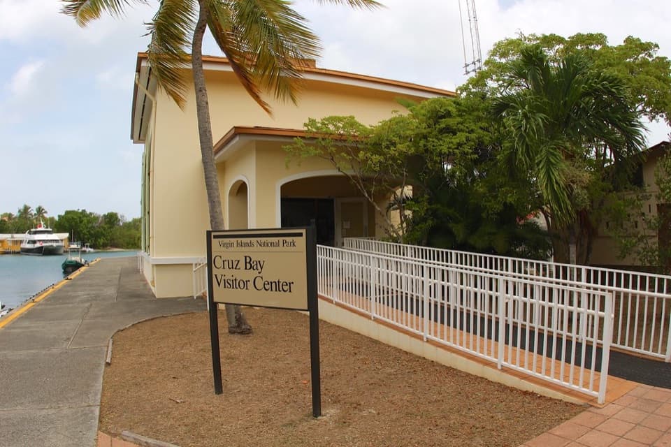
  • Cruz Bay Visitor Center
  • Caneel Beach and the Old Resort
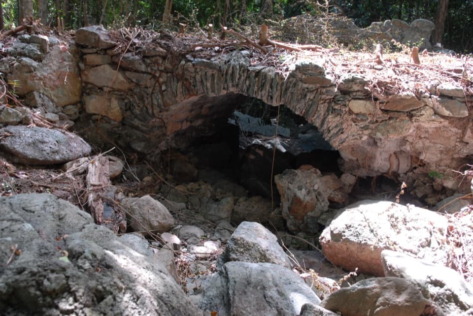
  • Water Catchment Trail and the Old Basin
  • 26 audio storiesacross Virgin Islands’s roads, triggered by GPS as you drive
  • Wildlife heatmapsfor White-tailed Deer, Green Iguana, Brown Pelican, and 13 more
  • Works offlinemaps, 22 trails, 42 places, and audio download before you lose signal
  • CarPlay readysimple controls built for the drive
★★★★★
“Fantastic app with many points of information… It’s great to just turn on while you’re driving and it gives you an audio tour of the national Park. We love it!!!!”
JMJamesApp Store review
Download Parkwolf on the App StoreGet Parkwolf on Google Play

4.7 from 8,600+ ratings

Guide

More about Salomon Beach

A hike-in beachSalomon Beach is the western of two white-sand beaches in Virgin Islands National Park’s…

Salomon Beach is the western of two white-sand beaches in Virgin Islands National Park’s Salomon and Honeymoon pair. Go for a quieter swim and reef stop if you’re comfortable with an uneven walk; there’s no road to the sand. The lower Lind Point route reaches Salomon first and is shorter and less hilly than the upper route. You can also arrive by boat.

From the Cruz Bay Visitor Center, a local route guide puts Salomon about three-quarters of a mile away; the park describes the rocky walk to the pair as over a mile up and down. Plan for a substantial hike rather than relying on one exact distance. The trail isn’t accessible or stroller-friendly. Bring water and your own snorkel gear, and plan to visit in daylight. Pets aren’t allowed on park beaches to protect nesting sea turtles and shorebirds.

Sand, shade and waterThe tree-lined shore has both sunny and shaded places to sit.

The tree-lined shore has both sunny and shaded places to sit. Visitors often value its clear water and quieter, hike-in feel, but the beach entry can be rocky and shade varies along the sand. If you want the simplest swim access, this walk and uneven shoreline may feel like extra work.

Coral around the pointThe rocky point between Salomon and Honeymoon has brain, lettuce-leaf, elkhorn, mustard-hill…

The rocky point between Salomon and Honeymoon has brain, lettuce-leaf, elkhorn, mustard-hill and pillar corals; finger coral grows on the reef west of Salomon. That makes the point and west side the interesting snorkeling areas. Visitors’ snorkeling experiences vary, so treat the reef as a possibility, not a guaranteed show.

Take the upper trail for the viewThe upper Lind Point route climbs switchbacks to Lind Point Battery Overlook before continuing…

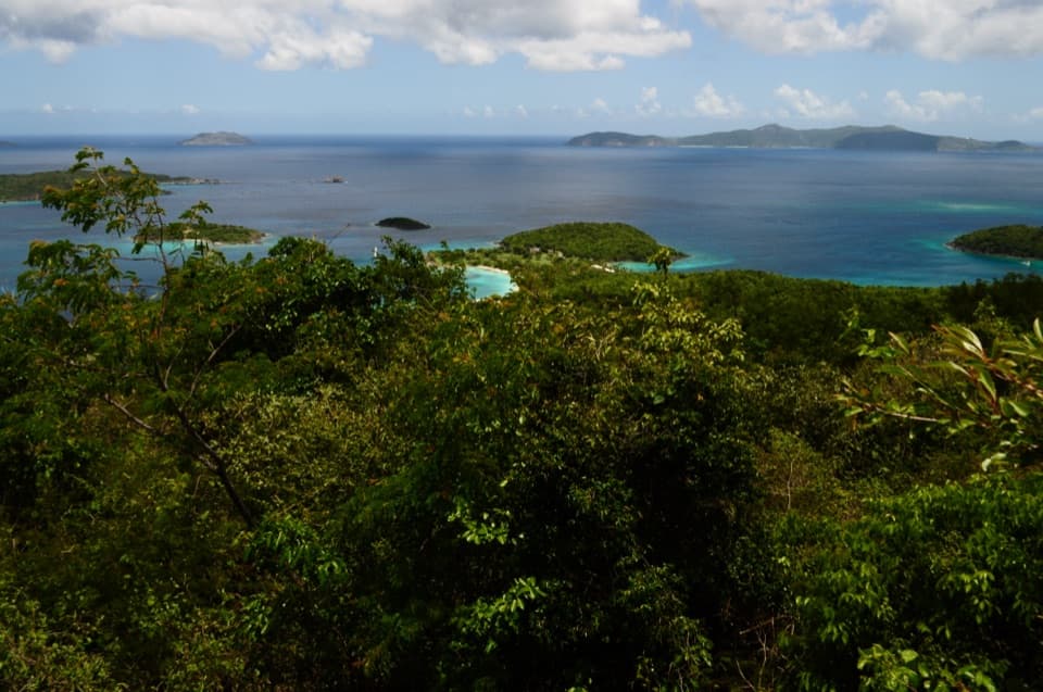
The upper Lind Point route climbs switchbacks to Lind Point Battery Overlook before continuing toward the beaches. From there, you can look over Cruz Bay harbor and out across Pillsbury Sound toward its islands and cays; it’s the stronger wide view for a photo, but adds climbing. The trail also crosses land once known as Estate Lindholm, a colonial-era cotton-growing estate.

Wildlife

Wildlife in Virgin Islands

All Virgin Islands wildlife maps

Sighting maps show where each species has been reported across Virgin Islands. Wildlife moves, so no sighting is guaranteed.

Keep exploring

Near Salomon Beach

See it all on the map

Trails nearby

More stops nearby

Parkwolf’s Virgin Islands ranking

Top sights in Virgin Islands

All 42 places
  1. 1Trunk Bay BeachBeach
  2. 2Maho Bay BeachBeach
  3. 3Annaberg Sugar PlantationSight
  4. 4Cinnamon Bay BeachBeach
  5. 5Waterlemon CaySight
  6. 6Reef Bay PetroglyphsSight

Take Parkwolf to Virgin Islands.

The audio tour guide for the drive, plus offline maps, trails, and wildlife heatmaps for when the signal drops.

4.7 from 8,600+ ratings

Download Parkwolf on the App StoreGet Parkwolf on Google Play