
All Beartooth Highway places
36 places
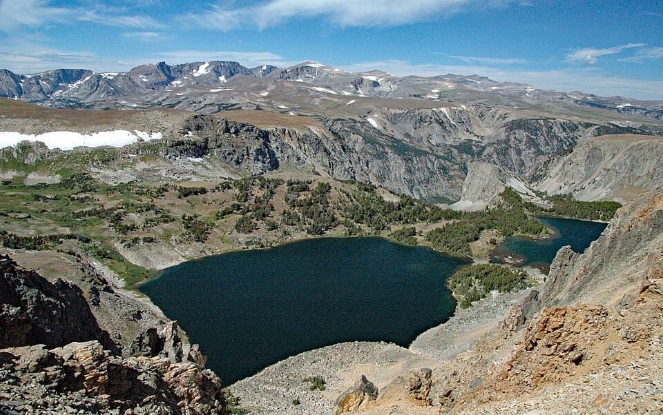
 1Beartooth Pass VistaA high-alpine summit stop for open views, lingering snow and wildflowers.
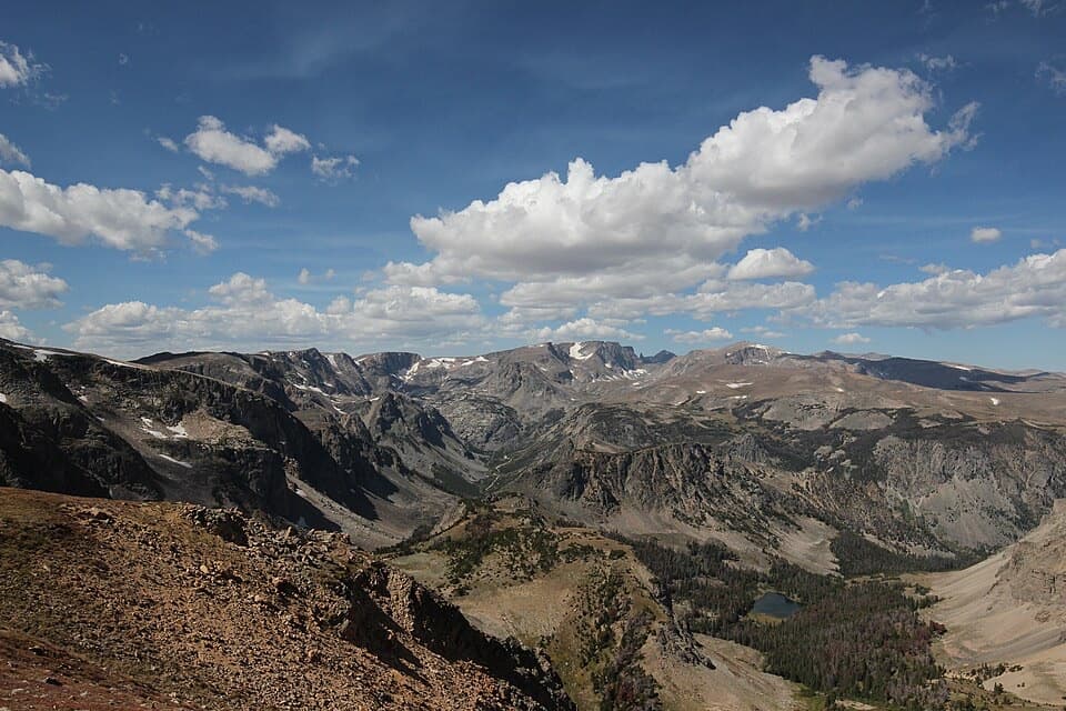
 2Rock Creek Vista PointA short paved path opens onto a huge glacial valley.
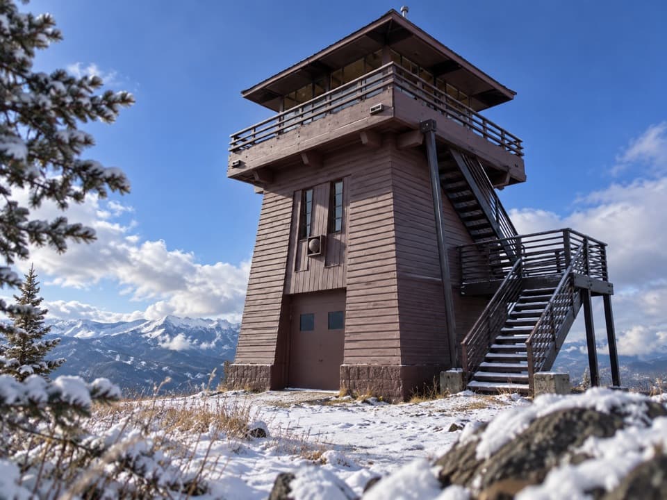 3Clay Butte LookoutA historic fire tower with a 360-degree Beartooth panorama.
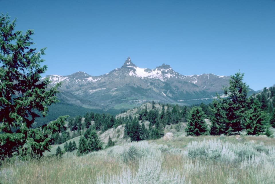 4Pilot and Index Peaks OverlookTwo sharp peaks crown the Clark’s Fork valley view.
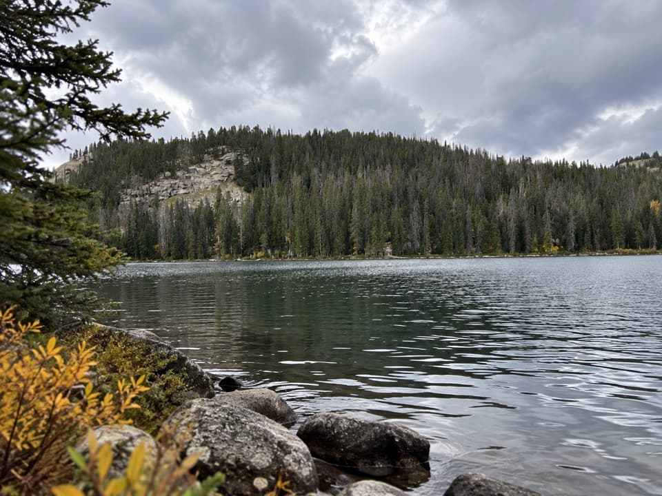 5Beartooth LakeLaunch, picnic, or take in Beartooth Butte across the lake.
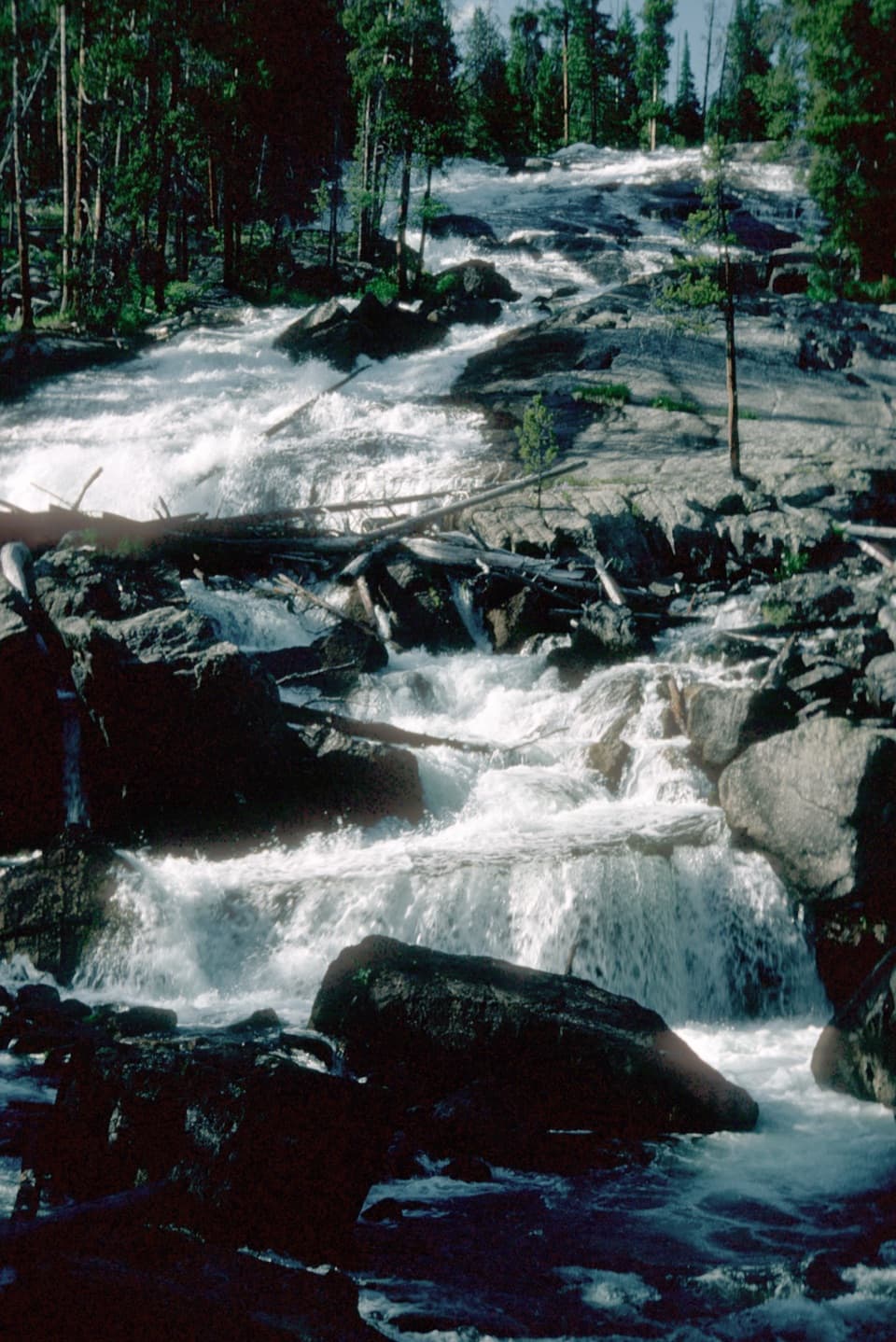 6Crazy Creek FallsA short walk reaches a broad cascade beside the Beartooth Highway.
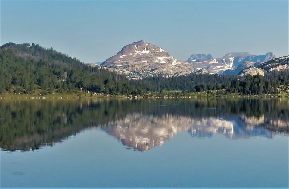 7Island LakeA high-country lake with boat access and hikes to nearby lakes.
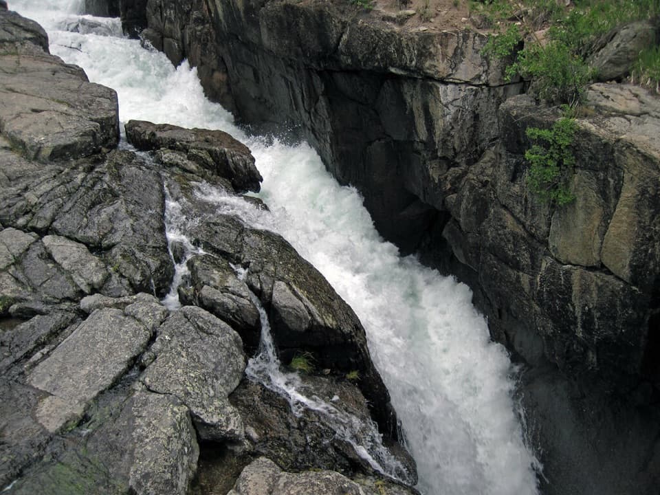 8Lake Creek FallsA short bridge walk reaches a waterfall in a granite gorge.
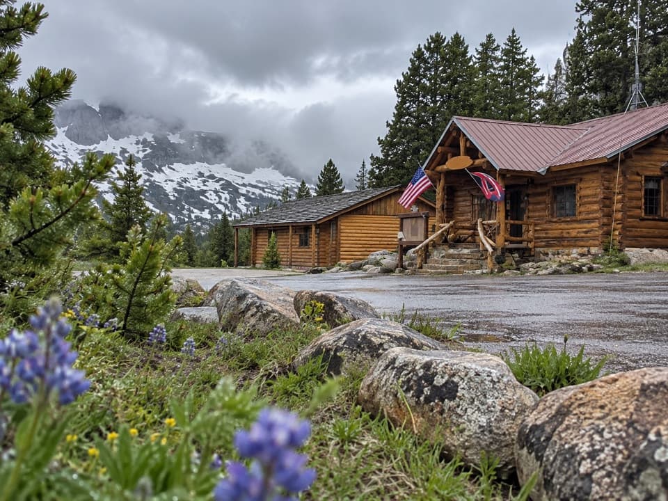 Top of the World Store and ResortA 9,400-foot store and lodge midway along the pass drive.
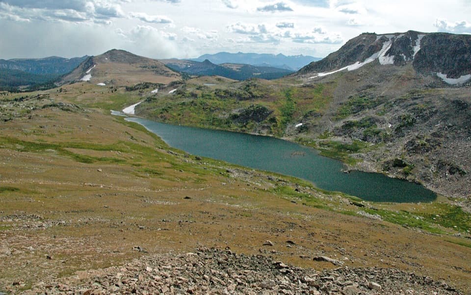 9Gardner Lake OverlookA broad roadside lake view; the shore means a steep climb back.
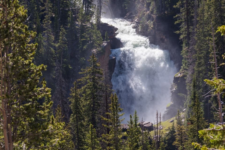 10Beartooth FallsA quick roadside look at the Beartooth Highway waterfall
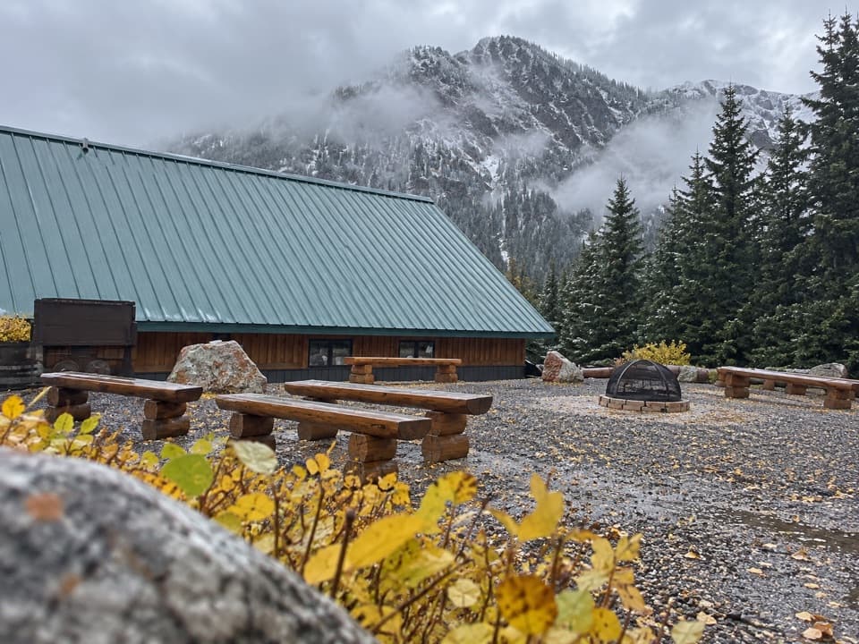 Cooke City Visitor Center and MuseumNine touchscreens bring Cooke City's local history to life.
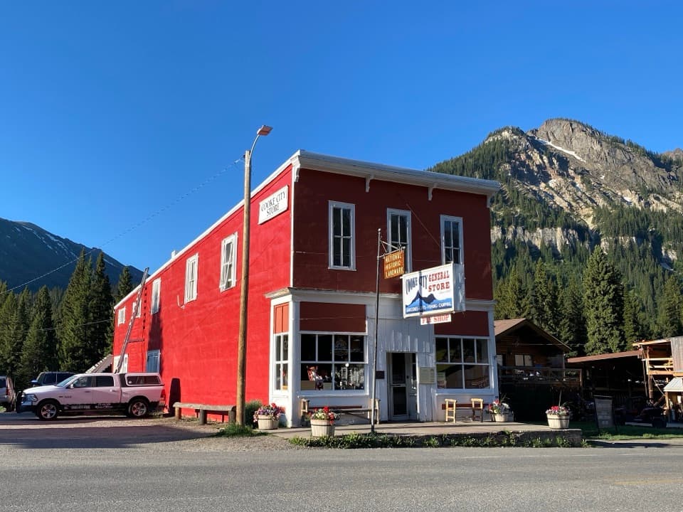 Cooke City StoreA working mercantile still uses its hand-crank cash register.
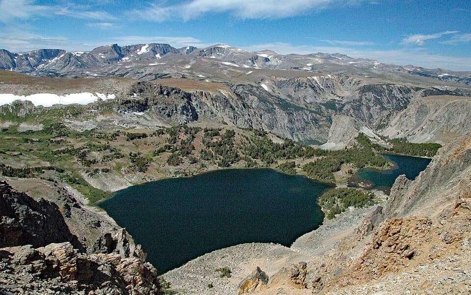 11Twin Lakes OverlookTwo alpine lakes, seen from above without a hike.
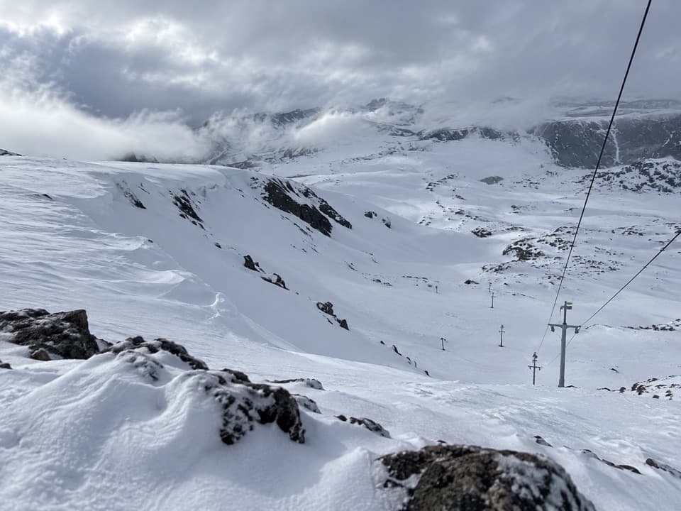 12Beartooth Basin Summer Ski AreaSummer skiing on a steep high-alpine headwall.
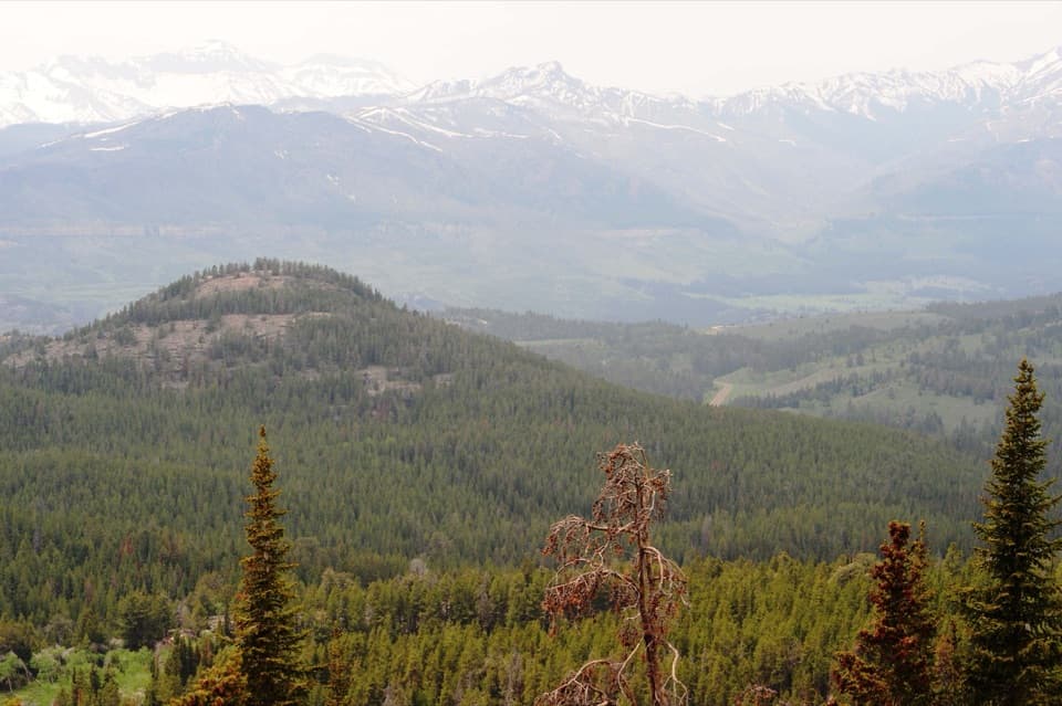 13Clarks Fork OverlookA roadside view where the valley's geology comes into focus.
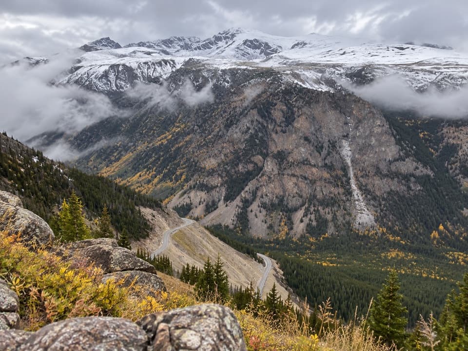 14Quad Creek Scenic OverlookThe highway curls below you across a wide mountain valley.
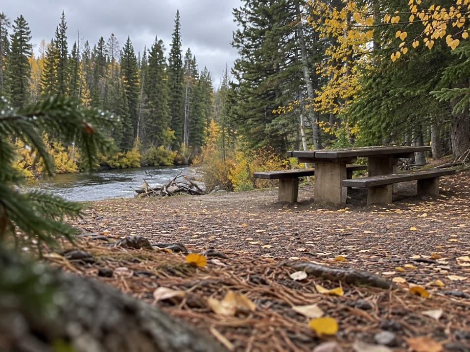 Clarks Fork Picnic AreaA riverside pause with a little highway and flume history.
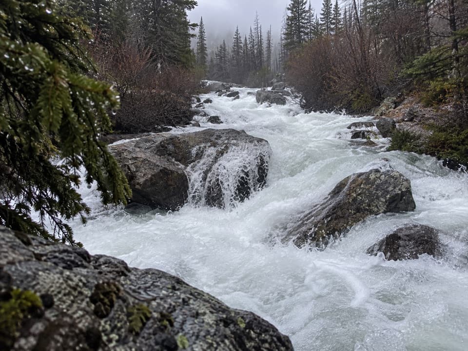 15Calamity FallsA 1.3-mile trail walk reaches falls tucked into a rocky gorge.
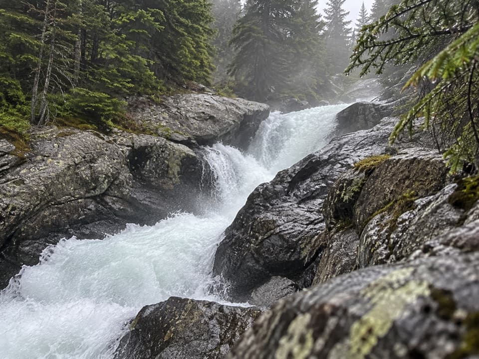 16Sentinel FallsA creekside hike links Calamity Falls with Sentinel Falls.
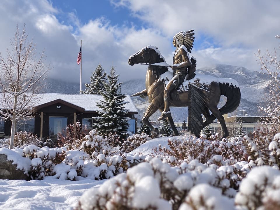 Red Lodge Visitors CenterA practical first stop for maps, Yellowstone info, and road updates.
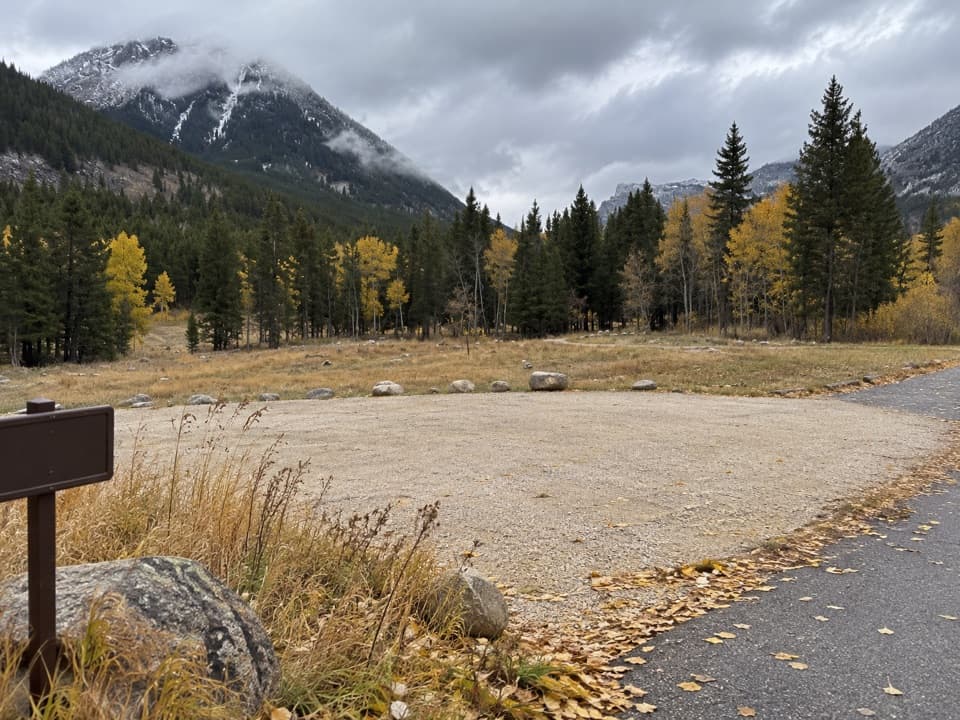 Parkside CampgroundCreekside camping near the foot of the Beartooth switchbacks.
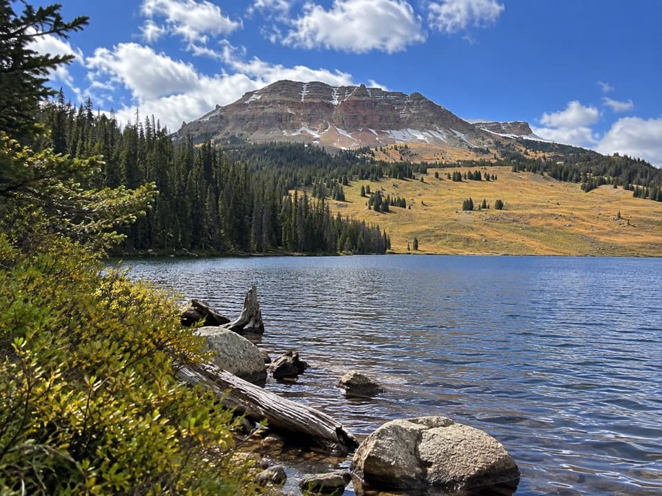 Beartooth Lake CampgroundA lakefront base for fishing, boating and nearby high-country hikes.Island Lake CampgroundA simple high-country camp for lake views and nearby hikes.
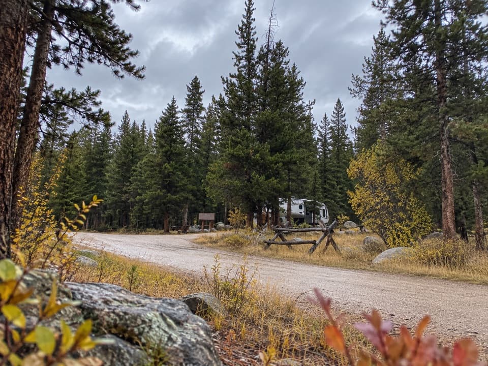 Fox Creek CampgroundSleep under conifers with Pilot and Index Peaks in view.
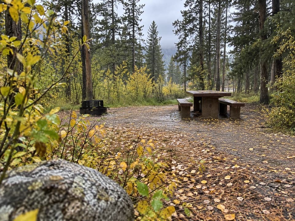 Greenough Lake CampgroundCreekside camping, with Greenough Lake a short walk away.
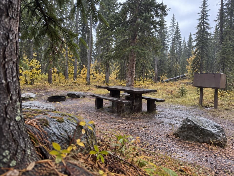 Crazy Creek CampgroundA 16-site campground on a bluff above its namesake creek.
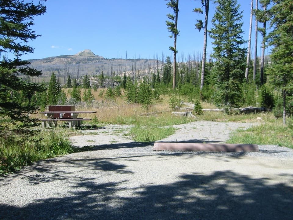 Colter CampgroundA hard-sided-only campground two miles east of Cooke City.
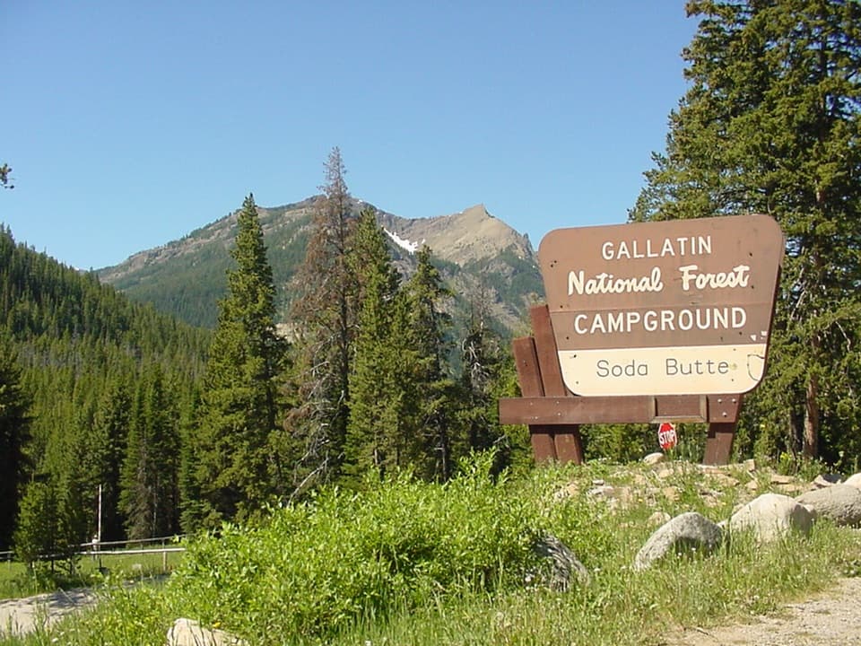 Soda Butte CampgroundA quiet, wooded base near Cooke City and Yellowstone’s northeast entrance.
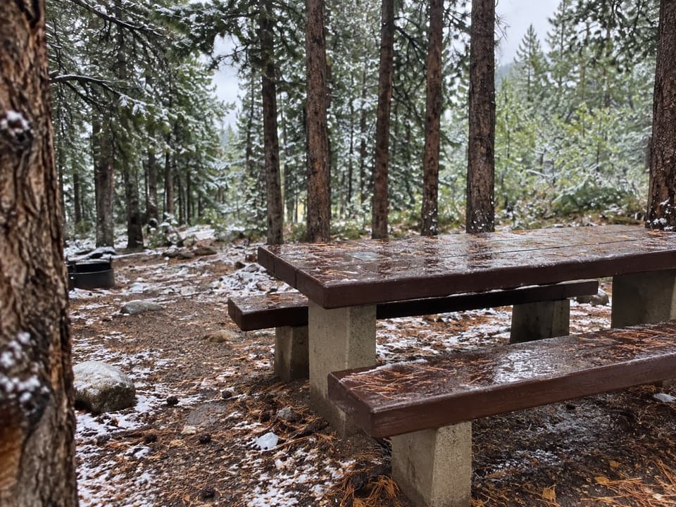 Limber Pine CampgroundA quiet creekside base below the Beartooth switchbacks.
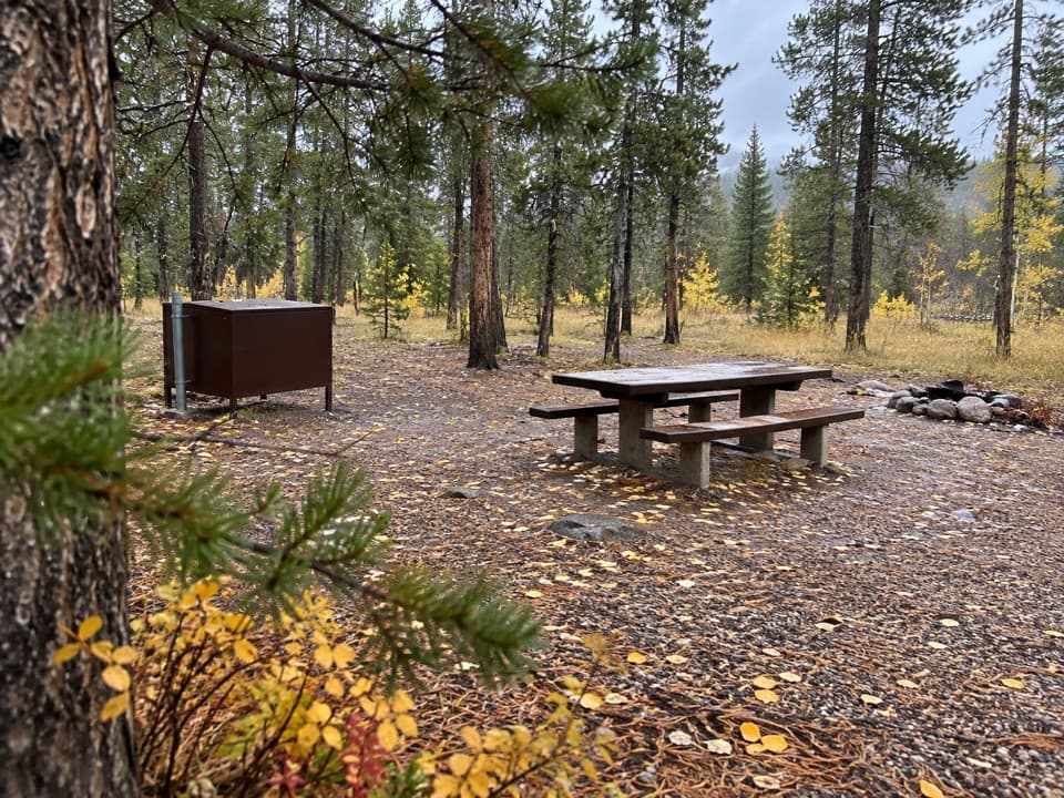 M-K CampgroundA free creekside campground near Beartooth Highway hikes.
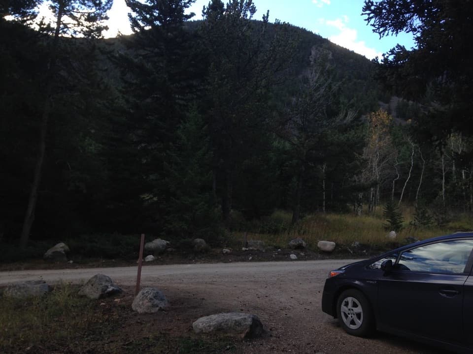 Rattin CampgroundSeven wooded, creekside sites make a practical overnight near Red Lodge.
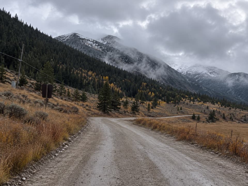 Sheridan CampgroundNine creekside sites make a quiet base for fishing and hiking.
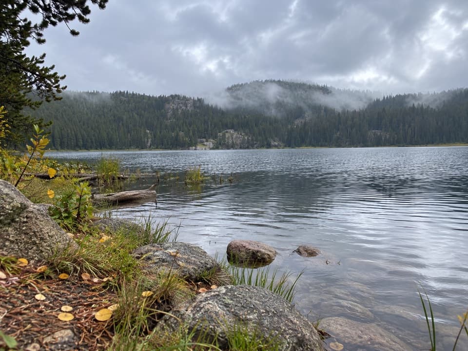 Lily Lake CampgroundA simple lakeside camp reached by a one-mile gravel spur.
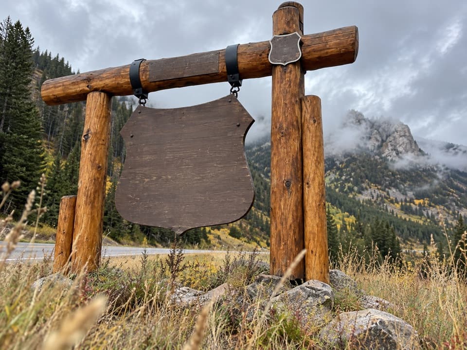 17Beartooth Highway Welcome SignA quick welcome photo before the high-country drive.
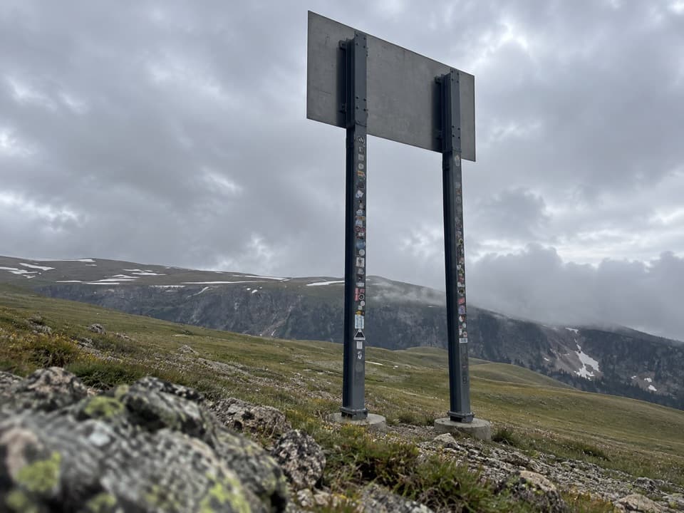 18Montana-Wyoming State Line SignA quick state-line sign stop on the seasonal Beartooth Highway.

The highest, rockiest slopes around here are a summer buffet for grizzly bears.
Beartooth Highway Tour Guide
Beartooth Highway, narrated.
Parkwolf is a GPS audio tour guide for Beartooth Highway. As you drive, it chimes in with what’s ahead: hidden gems, upcoming stops, history, geology, and wildlife, right through your car’s speakers.
See the Beartooth Highway audio tourRecorded for this place
Beartooth Pass Vista0:00 / 0:29
“You're approaching Beartooth Pass Vista, the highest point on the highway at ten thousand nine hundred forty-seven feet. This is a stop I'd keep even if you're only getting out at a few places.”
Plays as you drive up to Beartooth Pass Vista in the Parkwolf Beartooth Highway Tour Guide.
More stories near here in the app
- The Bird That Plants Pines
- Why Alpine Plants Stay Small
- A Marmot's Short Summer
- Gardner Lake Overlook
- 62 audio storiesacross Beartooth Highway’s roads, triggered by GPS as you drive
- Wildlife heatmapsfor Grizzly Bear, Gray Wolf, Bison, and 13 more
- Works offlinemaps, 82 trails, 36 places, and audio download before you lose signal
- CarPlay readysimple controls built for the drive
“Fantastic app with many points of information… It’s great to just turn on while you’re driving and it gives you an audio tour of the national Park. We love it!!!!”

