Wollangambe Crater walk in Blue Mountains National Park

Blue Mountains National Park, NSW

Wollangambe Crater walk

Rough 18 km return through pagoda country to a remote crater bowl.

Length
17.8km
Time
8hr
Elev. change
259m
Difficulty
Challenging
  • No dogs
  • High point 1,071 m

Hear the audio tour

The Brush-turkey's Compost Nest

Overview

About Wollangambe Crater walk

Why go

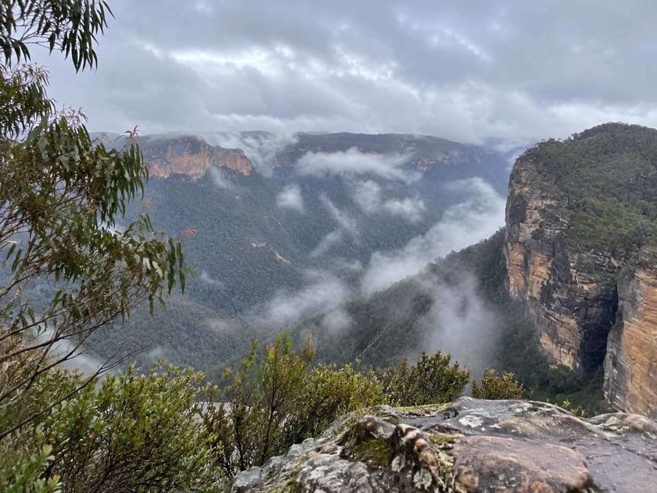
  • Unusual sandstone pagodas and wide wilderness views
  • A distinctive remote bowl beyond the Wollangambe River

Heads up

  • Long, rough route with difficult navigation and scrambling
  • A remote river crossing and current access permission are unverified

Map & elevation

The route

Loading the Blue Mountains map
Full map
Elevation812–1,071 m
TrailheadBell Perimeter Trail / Sandham Road access-33.50579, 150.27895
Keep this map with you offline in the Parkwolf app

Plan your hike

Before you go

Parking

Use the Sandham Road access to Bell Perimeter Trail, about 500 m from Bell Station. A small parking area is described, but current capacity and access permission are unconfirmed. The route entrance is reported to pass through a short private driveway and a walkers-only gate; check with NSW National Parks before setting out.

Safety

The track is faint in places and can disappear in regrowth; carry a reliable GPS route and be prepared for scrambling, steep rocky descents and creek crossings. The Wollangambe River crossing is described as a fallen tree, but its current condition is unverified. NSW National Parks recommends a trip-intention form and personal locator beacon for remote walks. Confirm current public access and alerts before leaving.

3 active Blue Mountains alerts

  • ClosureRoads and tracks closed across Blue Mountains National ParkMany roads, fire trails and walking tracks across Blue Mountains National Park are closed; do not enter closed areas.Official details
  • CautionPark-wide solid-fuel fire banA park fire ban is active across Blue Mountains National Park: campfires and solid-fuel barbecues and stoves are prohibited. - Gas and electric cookers are permitted, subject to safety rules.Official details
See all 3 alerts
A park ranger sits on a dash-mounted phone, talking, as Parkwolf’s Tour Guide plays “Army Cutworm Moths: A Grizzly Bear Buffet” on Grand Loop Road below Dunraven Pass in Yellowstone
Parkwolf Tour GuideThe highest, rockiest slopes around here are a summer buffet for grizzly bears.

Blue Mountains Tour Guide

Your drive to Wollangambe Crater walk, narrated.

Parkwolf is a GPS audio tour guide for Blue Mountains National Park. As you drive, it chimes in with what’s ahead: hidden gems, upcoming stops, history, geology, and wildlife, right through your car’s speakers.

See the Blue Mountains audio tour

Recorded for this area

The Brush-turkey's Compost Nest
0:00 / 0:29
“A big heap of leaves in the bush could be a brush-turkey's nest. The male rakes together leaves and soil, and the warmth from rotting vegetation incubates the eggs.”

Plays on the road 0.7 km from the trailhead in the Parkwolf Blue Mountains Tour Guide.

More stories near here in the app

  • The Flannel Flower’s False Petals
  • When a Cliff Retreats in Blocks
  • The Branch with a Beak
  • The Artists Below the Cliffs
  • 188 audio storiesacross Blue Mountains’s roads, triggered by GPS as you drive
  • Wildlife heatmapsfor Grey Kangaroo, Wombat, Red-necked Wallaby, and 13 more
  • Works offlinemaps, 110 trails, 84 places, and audio download before you lose signal
  • CarPlay readysimple controls built for the drive
★★★★★
“Fantastic app with many points of information… It’s great to just turn on while you’re driving and it gives you an audio tour of the national Park. We love it!!!!”
JMJamesApp Store review
Download Parkwolf on the App StoreGet Parkwolf on Google Play

4.7 from 8,600+ ratings

Trail guide

Hiking Wollangambe Crater walk

A long walk to the craterWollangambe Crater walk is an 11.1-mile (17.

Wollangambe Crater walk is an 11.1-mile (17.9 km) out-and-back from the Sandham Road access near Bell, across sandstone ridges and pagoda country to the Wollangambe River and a remote bowl beyond. It is a hard, full-day wilderness walk for experienced hikers, not a signed casual path. Allow about 8 hours, and longer if route-finding or stops slow you down. Published ascent estimates vary from roughly 650 to 850 m, but sources agree on the return distance. Optional river side trips shown on some maps are not part of this route.

Start prepared at BellThe access is about 500 m along Sandham Road from Bell Station.

The access is about 500 m along Sandham Road from Bell Station. Walkers describe a small parking area and entry through a short private driveway and a gate marked for walkers; current public permission and parking capacity are unconfirmed, so check with NSW National Parks before setting out. There are few reliable markers and the track fades in places. Carry downloaded navigation, food and enough water for a remote day. NSW National Parks recommends recording a trip intention and carrying a personal locator beacon for remote or overnight walks. Pets and domestic animals are not permitted, except certified assistance animals.

Over the ridges and pagodasThe early route follows bush track beneath powerlines, crosses a small creek and climbs…

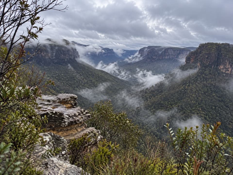
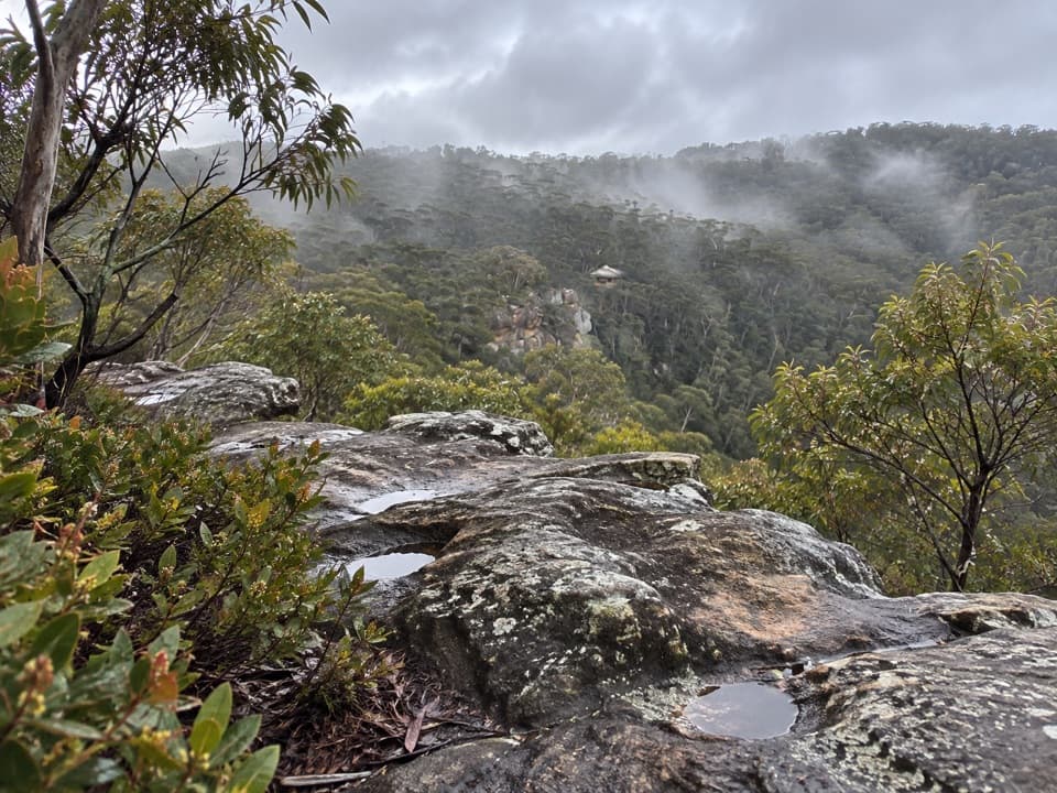
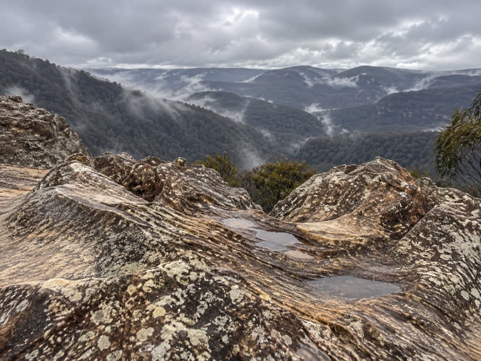
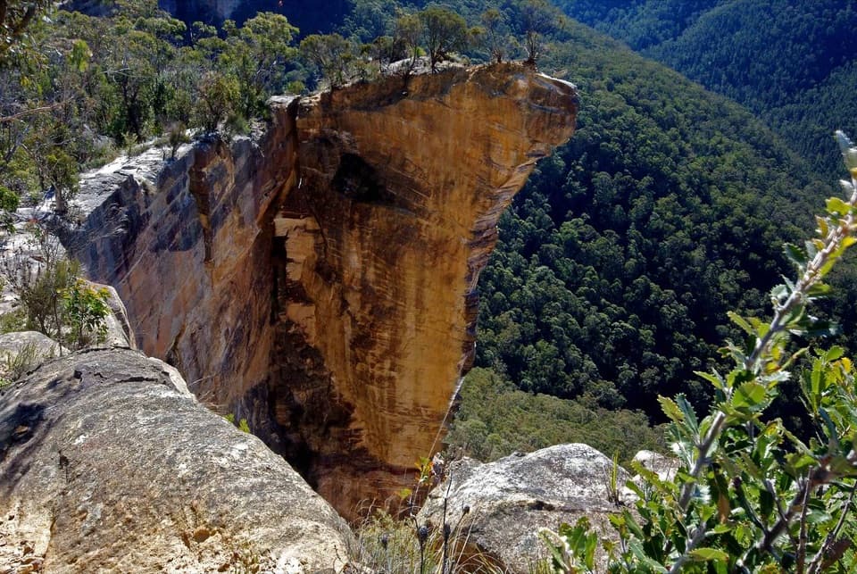
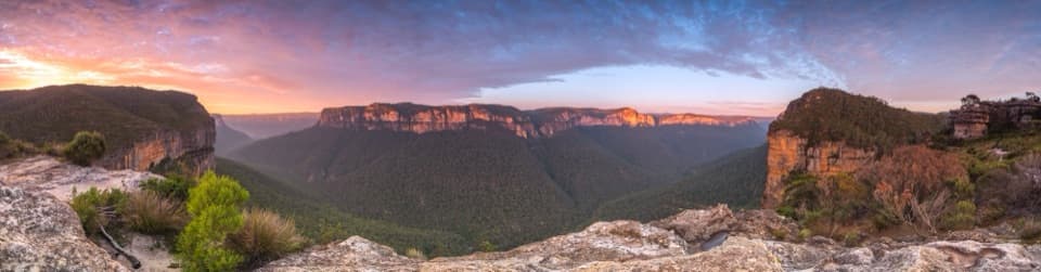
The early route follows bush track beneath powerlines, crosses a small creek and climbs gradually to a plateau where the first sandstone pagodas and wide wilderness views appear. One account places a left turn at a junction about 750 m in; use the mapped line because the path is easy to lose. The route then winds around ridges and pagoda lookouts. Submarine Rock, also known as Centre of the Universe, is described as a 360-degree viewpoint. Frame a nearby rock stack with the forested valley below, and keep well back from ledges.

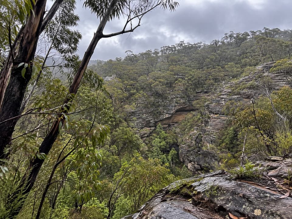
The middle section is the slowest to navigate. Regrowth can hide the tread; the route includes rocky ledges, scrambling over sandstone and a steep descent through thick bush. Cairns and occasional marks have been reported, but they are not a substitute for a reliable GPS track and careful route-finding.

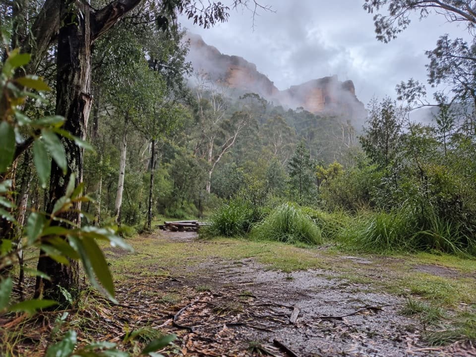
The river and the bowlThe descent reaches an open campsite before the Wollangambe River.

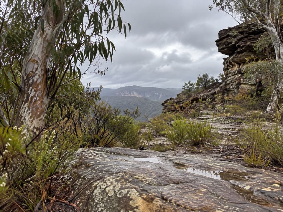
The descent reaches an open campsite before the Wollangambe River. Walkers describe crossing on a fallen tree, but its present condition is unknown; do not attempt it if the crossing is unsafe. Beyond the river, roughly 500 m of bracken leads to the crater bowl. Reports describe a marshy edge and an open setting, but no formal facilities, toilets or dependable drinking water were verified. Keep to the main crater route: the separate river sidetracks add distance and are not included in the 17.9 km return.

Wildlife

Wildlife in Blue Mountains

All Blue Mountains wildlife maps

Sighting maps show where each species has been reported across Blue Mountains. Wildlife moves, so no sighting is guaranteed.

Keep exploring

Near Wollangambe Crater walk

See it all on the map

Trails that start nearby

Places near the trailhead

Parkwolf’s Blue Mountains ranking

Top-rated trails in Blue Mountains

All 110 trails
  1. 1Grand Canyon trackModerate · 6.3 km
  2. 2Three Sisters walkEasy · 0.8 km
  3. 3Lockley Pylon walking trackModerate · 7 km
  4. 4National PassChallenging · 5.1 km
  5. 5Wentworth Pass loop walking trackChallenging · 5 km
  6. 6Prince Henry Cliff walkModerate · 7 km

Take Parkwolf to Blue Mountains.

The audio tour guide for the drive, plus offline maps, trails, and wildlife heatmaps for when the signal drops.

4.7 from 8,600+ ratings

Download Parkwolf on the App StoreGet Parkwolf on Google Play