Parking
Start at the informal dirt clearing off Sandham Road near Dargan, about 3 km from the Darling Causeway and Bells Line of Road junction. The last roughly 2 km are unsealed; this is a clearing, not a developed car park.

Blue Mountains National Park, NSW
A short sandstone-arch walk with a rough, rocky finish.
Overview
Map & elevation
Plan your hike

The highest, rockiest slopes around here are a summer buffet for grizzly bears.
Blue Mountains Tour Guide
Parkwolf is a GPS audio tour guide for Blue Mountains National Park. As you drive, it chimes in with what’s ahead: hidden gems, upcoming stops, history, geology, and wildlife, right through your car’s speakers.
See the Blue Mountains audio tourMore stories near here in the app
“Fantastic app with many points of information… It’s great to just turn on while you’re driving and it gives you an audio tour of the national Park. We love it!!!!”


Trail guide
Dargans Arch Track is an out-and-back of about 1.5 km return from the informal Sandham Road clearing to a sandstone arch in the bush. Allow about an hour including time at the formation. It’s a worthwhile short detour for a striking rock feature, but the distance hides a steep return and a rough finish. The walk is locally documented, though formal public access hasn’t been confirmed, so check access before setting out. Pets aren’t permitted in NSW national parks.
The walk starts on a broad fire trail through bushland, first gently downhill and then more steeply. The fire trail gives way to a narrow path and open rock; the last couple of hundred metres are uneven and the tread becomes hard to follow. Retrace the same line back to the clearing. The climb out is the hardest part, so take your time rather than treating this as an easy stroll because it’s short.
Dargan Arch is a natural sandstone bridge left after a cave roof collapsed. The main route reaches and crosses the arch; it’s unfenced, with open rock underfoot. A rough scramble down to the underside gives a closer look, and a separate overhang lies a little farther on, but those explorations are beyond the mapped route. Skip the descent if the rock is wet or you’re not comfortable scrambling.
Wildlife
 58 sightingsGrey KangarooMost seen around 6 AMSighting map
 43 sightingsWombatMost seen around 6 PMSighting map
 18 sightingsRed-necked WallabyMost seen around 6 PMSighting map
 53 sightingsSwamp WallabyMost seen around 7 AMSighting map
 23 sightingsBrushtail PossumMost seen around 7 PMSighting map
 30 sightingsRing-tailed PossumMost seen around 7 PMSighting map
Sighting maps show where each species has been reported across Blue Mountains. Wildlife moves, so no sighting is guaranteed.
Keep exploring
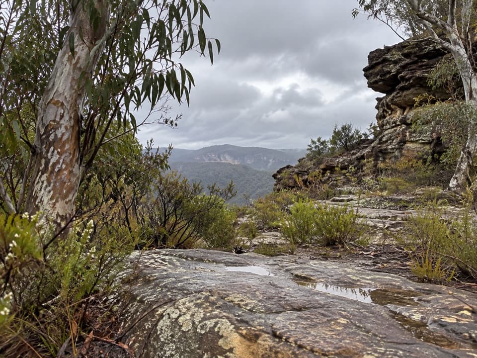 ChallengingWollangambe Crater walk17.8 km · 8 hr · 2.6 km awayRough 18 km return through pagoda country to a remote crater bowl.
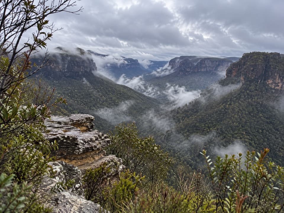 ModerateAsgard Head walking track6 km · 2 hr · 9.3 km awayA 6 km return walk to an open Grose Valley lookout.
 ModerateIkara Head walking track6.1 km · 2 hr · 9.3 km awayA return walk to a rocky headland above Grose Valley.
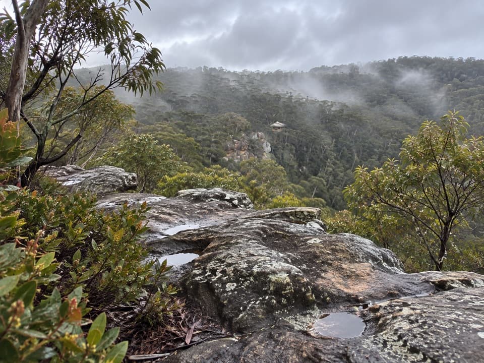 ModerateChinamans Hat and Pheasants Cave Loop1.8 km · 1 hr · 9.5 km awayA short cliffside loop leads to a cool gully and huge overhang.
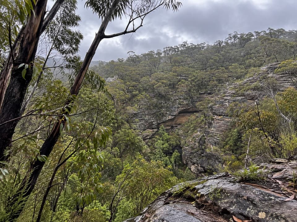 ModerateWollangambe River walking track6.4 km · 3 hr · 9.9 km awaySandstone gorge and riverbank at the end of a steep descent.
 ChallengingVictoria Falls walking track4 km · 2.3 hr · 10.1 km awayA steep 4 km return to a waterfall in the Grose Valley.
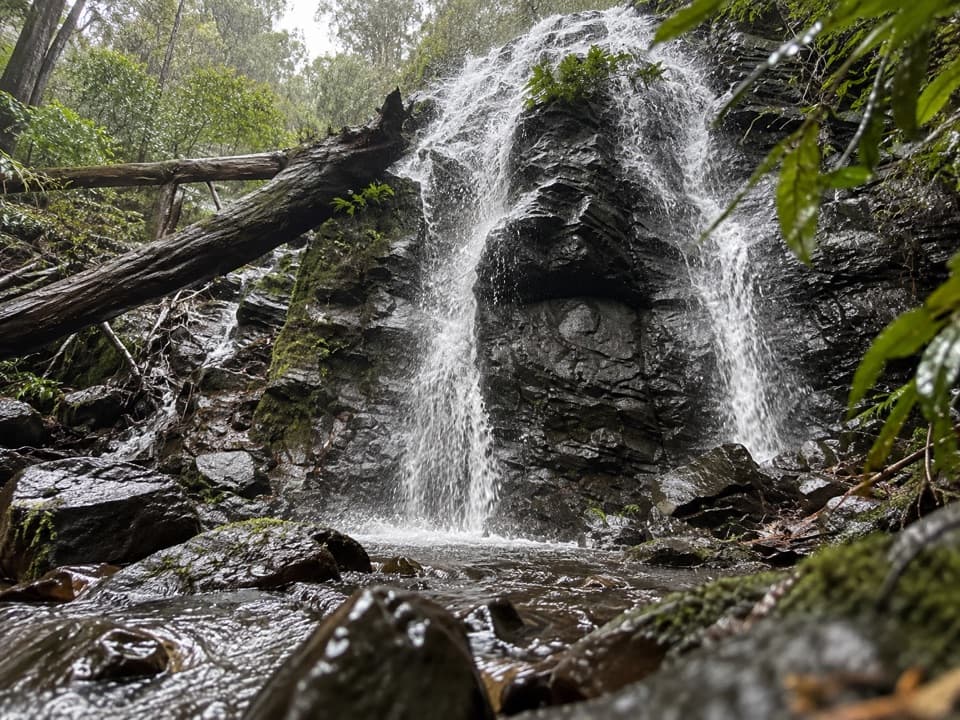 EasyWaterfall Reserve walking track1.1 km · 45 min · 10.8 km awayTwo falls and a memorial bridge on a short rainforest loop.
 ChallengingPierces Pass to Grose River4.9 km · 3 hr · 11.6 km awayA steep track to the river, then every step back up.
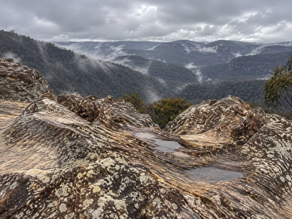 Sight · 9.4 km awayDu Faurs Rocks lookoutA brief rocky overlook above Mount Wilson’s broad valley.
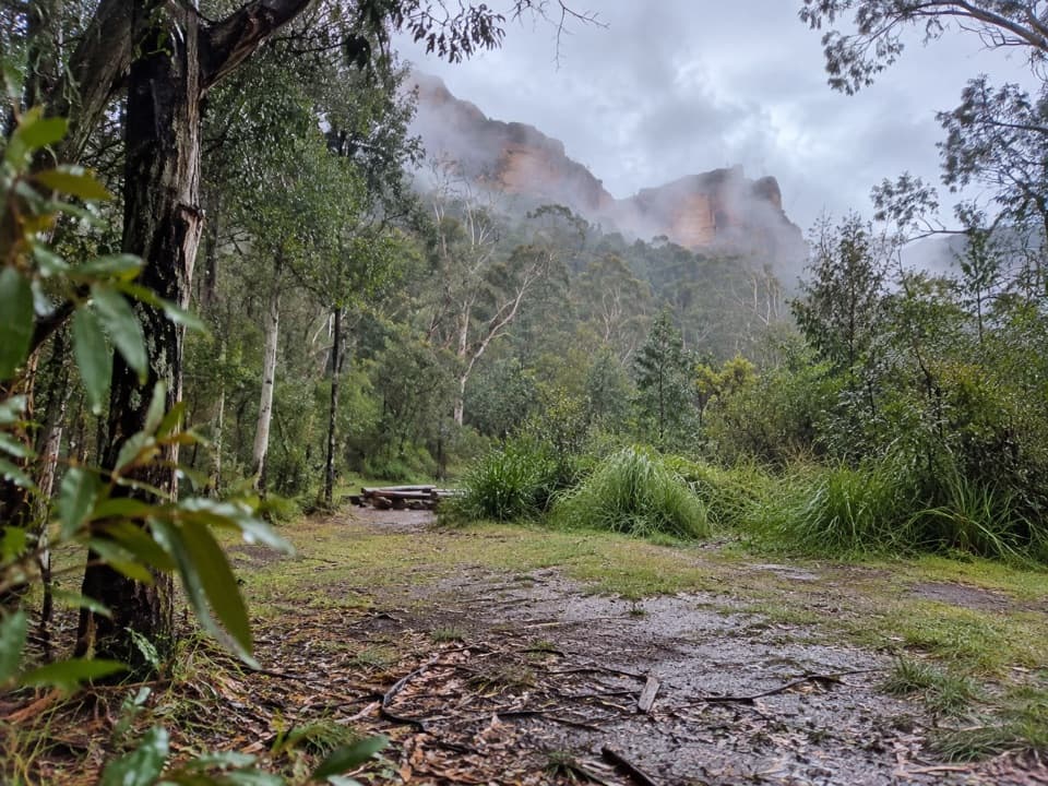 Campground · 9.5 km awayBurra Korain Flat campgroundListen for cockatoos as evening settles over the remote Grose Valley.
 Sight · 10.1 km awayVictoria Falls lookoutA wide Grose Valley view appears just beyond the carpark.
 Sight · 10.3 km awayVictoria FallsA steep descent links a 20 m waterfall with creek cascades.
 Picnic area · 11.7 km awayPierces Pass picnic areaTwo very different walks start at this small Grose Valley picnic stop.
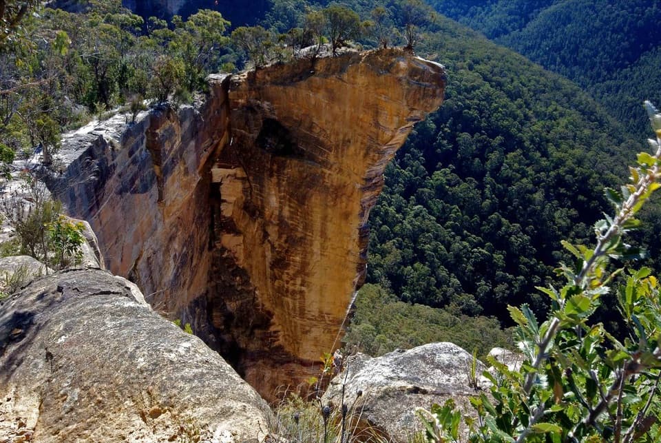 Sight · 11.8 km awayBaltzer LookoutA ridge walk ends at an unfenced view over the Grose Valley.
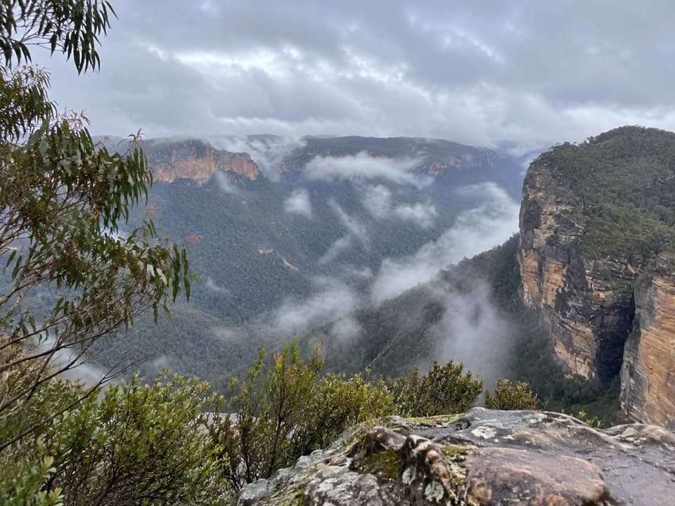 Sight · 11.9 km awayRigby Hill lookoutA short ridge walk to a broad Grose Valley panorama.
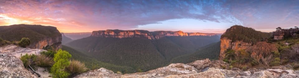 Sight · 12.2 km awayWalls LookoutA short rocky walk opens onto a huge Grose Valley panorama.
Parkwolf’s Blue Mountains ranking

The audio tour guide for the drive, plus offline maps, trails, and wildlife heatmaps for when the signal drops.





