Woodford – Oaks trail in Blue Mountains National Park

Blue Mountains National Park, NSW

Woodford – Oaks trail

Open heath and eucalypt forest make this a satisfying one-way walk.

Length
17.4km
Time
5.5hr
Elev. change
312m
Difficulty
Moderate
  • No dogs
  • High point 609 m

Hear the audio tour

The Hotel That Made Its Own Power

Overview

About Woodford – Oaks trail

Why go

  • Open heath views and a changing bushland setting.
  • The Oaks Picnic Area makes a natural lunch stop.

Heads up

  • A long one-way walk needs return transport.
  • Boggy footing after rain and limited mobile reception.

Map & elevation

The route

Loading the Blue Mountains map
Full map
Elevation297–609 m
TrailheadWoodford – Oaks trail gate, Taylor Road-33.73530, 150.48752
Keep this map with you offline in the Parkwolf app

Plan your hike

Before you go

Parking

The signed entrance is on Taylor Road, reached by a short walk from Woodford Railway Station via Railway Parade, Appian Way and Parker Street. The walk ends at The Oaks Picnic Area; verify end access and arrange your return before setting out.

Safety

The fire trail can become boggy after rain and mobile coverage is limited. Carry water and sun protection; the confirmed tap is just inside the Taylor Road gate. Cyclists and runners also use the route. Dogs are prohibited except certified assistance animals. Walking access on the dedicated cycle track beyond The Oaks is unclear.

3 active Blue Mountains alerts

  • ClosureRoads and tracks closed across Blue Mountains National ParkMany roads, fire trails and walking tracks across Blue Mountains National Park are closed; do not enter closed areas.Official details
  • CautionPark-wide solid-fuel fire banA park fire ban is active across Blue Mountains National Park: campfires and solid-fuel barbecues and stoves are prohibited. - Gas and electric cookers are permitted, subject to safety rules.Official details
See all 3 alerts
A park ranger sits on a dash-mounted phone, talking, as Parkwolf’s Tour Guide plays “Army Cutworm Moths: A Grizzly Bear Buffet” on Grand Loop Road below Dunraven Pass in Yellowstone
Parkwolf Tour GuideThe highest, rockiest slopes around here are a summer buffet for grizzly bears.

Blue Mountains Tour Guide

Your drive to Woodford – Oaks trail, narrated.

Parkwolf is a GPS audio tour guide for Blue Mountains National Park. As you drive, it chimes in with what’s ahead: hidden gems, upcoming stops, history, geology, and wildlife, right through your car’s speakers.

See the Blue Mountains audio tour

Recorded for this area

The Hotel That Made Its Own Power
0:00 / 0:33
“The Hydro Majestic at Medlow Bath opened with its own power plant. When Mark Foy launched his mountain health resort in nineteen oh four, providing luxury meant building the machinery to support it.”

Plays on the road 0.3 km from the trailhead in the Parkwolf Blue Mountains Tour Guide.

More stories near here in the app

  • Bedford Creek from Bedford Road
  • The Wattle Changes Its Leaves
  • A Telescope at Woodford House
  • The Millipede's Armoured Spiral
  • 188 audio storiesacross Blue Mountains’s roads, triggered by GPS as you drive
  • Wildlife heatmapsfor Grey Kangaroo, Wombat, Red-necked Wallaby, and 13 more
  • Works offlinemaps, 110 trails, 84 places, and audio download before you lose signal
  • CarPlay readysimple controls built for the drive
★★★★★
“Fantastic app with many points of information… It’s great to just turn on while you’re driving and it gives you an audio tour of the national Park. We love it!!!!”
JMJamesApp Store review
Download Parkwolf on the App StoreGet Parkwolf on Google Play

4.7 from 8,600+ ratings

Trail guide

Hiking Woodford – Oaks trail

Is this the walk you want?Woodford – Oaks is a 17.3 km (10.

Woodford – Oaks is a 17.3 km (10.8 mi) one-way bushwalk from the signed gate on Taylor Road near Woodford Railway Station to The Oaks Picnic Area. It follows a broad fire trail; allow about five to six hours with breaks. This is a long day with rolling climbs, not a short lookout walk, and there is no simple midway exit.

From Woodford into the bushFrom Woodford station, follow Railway Parade, Appian Way and Parker Street to Taylor Road; the…

From Woodford station, follow Railway Parade, Appian Way and Parker Street to Taylor Road; the signed dirt-road entrance is a short walk away. A drinking-water tap sits just inside the gate, so fill before setting off. The track drops for its first couple of kilometres, then undulates through a sequence of rises. The wide, unpaved route is also used by mountain bikes and runners.

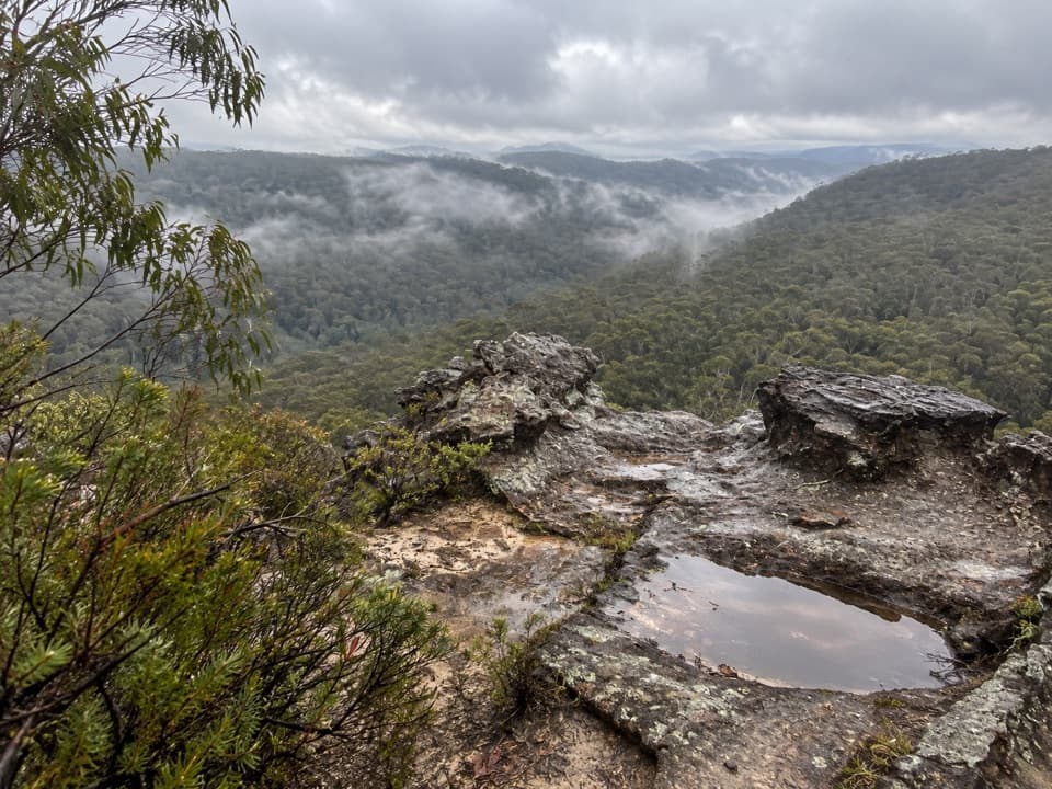
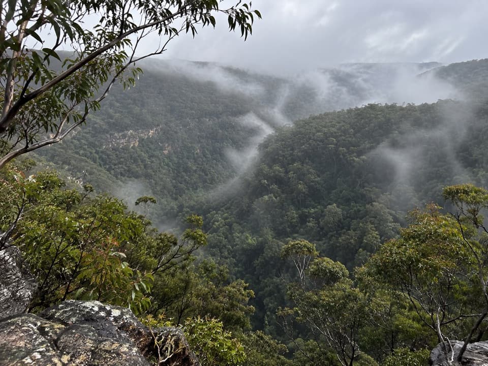
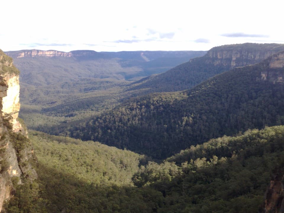
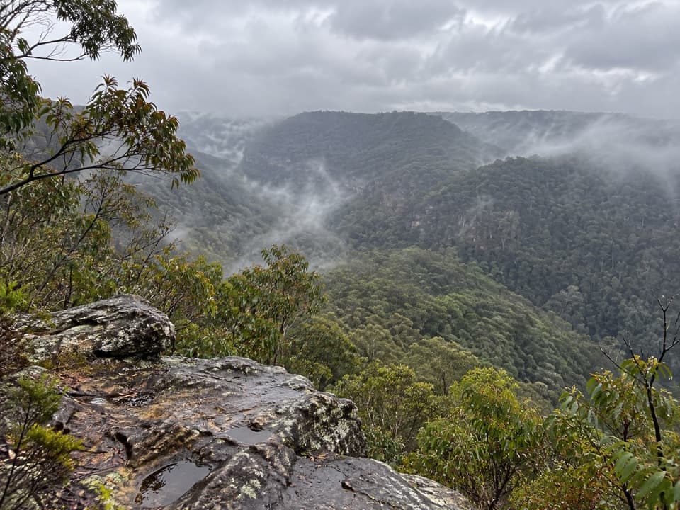
Heath opens into forestThe path crosses open heath, where broad views spread across the ranges, then gradually becomes…

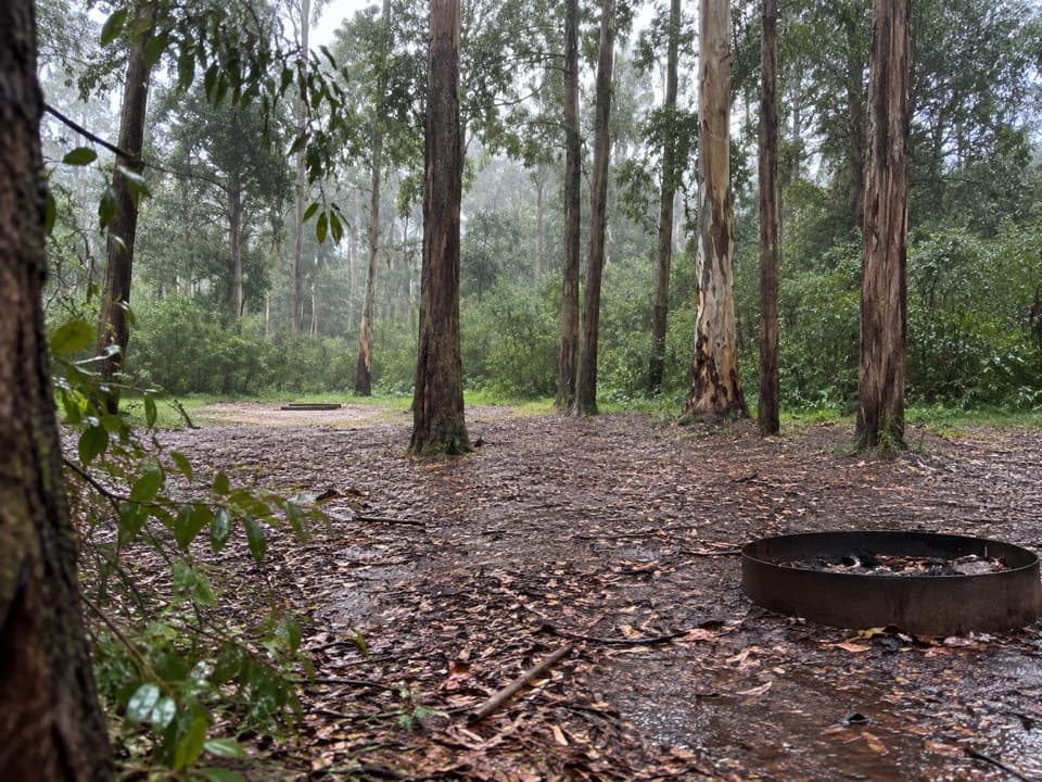
The path crosses open heath, where broad views spread across the ranges, then gradually becomes open eucalyptus forest. In warmer months, wildflowers and eucalypts scent the route. Views come and go as the scrub thins; there is no single named lookout to aim for.

Finish at The OaksThe picnic area takes its name from nearby casuarinas and makes a sensible lunch stop, so bring…

The picnic area takes its name from nearby casuarinas and makes a sensible lunch stop, so bring your own food. The full 27 km Woodford-to-Glenbrook route continues from here on a dedicated cycle track and climbs Glenbrook Gorge toward the station. Its walking access is unclear, so this mapped walking route ends at The Oaks. If you want to continue to Glenbrook, confirm the signed pedestrian route before setting out.
Plan the returnThis is a point-to-point walk.

This is a point-to-point walk. Arrange a pickup at The Oaks or plan a return walk before you start. The fire trail can become boggy after rain and mobile reception is limited. Carry water and sun protection; dogs are not allowed except certified assistance animals.

Wildlife

Wildlife in Blue Mountains

All Blue Mountains wildlife maps

Sighting maps show where each species has been reported across Blue Mountains. Wildlife moves, so no sighting is guaranteed.

Keep exploring

Near Woodford – Oaks trail

See it all on the map

Trails that start nearby

Places near the trailhead

Parkwolf’s Blue Mountains ranking

Top-rated trails in Blue Mountains

All 110 trails
  1. 1Grand Canyon trackModerate · 6.3 km
  2. 2Three Sisters walkEasy · 0.8 km
  3. 3Lockley Pylon walking trackModerate · 7 km
  4. 4National PassChallenging · 5.1 km
  5. 5Wentworth Pass loop walking trackChallenging · 5 km
  6. 6Prince Henry Cliff walkModerate · 7 km

Take Parkwolf to Blue Mountains.

The audio tour guide for the drive, plus offline maps, trails, and wildlife heatmaps for when the signal drops.

4.7 from 8,600+ ratings

Download Parkwolf on the App StoreGet Parkwolf on Google Play