Grand Cliff Top Walk in Blue Mountains National Park

Blue Mountains National Park, NSW

Grand Cliff Top Walk

Two days linking waterfalls, cliff views and mountain villages.

Photo: Wikimedia Commons
Length
19km
Time
10.5hr
Elev. change
148m
Difficulty
Moderate
  • No dogs
  • High point 970 m
  • #15 of 110 in Blue Mountains

Hear the audio tour

Grand Cliff Top Walk from Wentworth Falls

Overview

About Grand Cliff Top Walk

Why go

  • Waterfall country and open Jamison Valley views on one through-walk
  • Passes Leura Cascades, Echo Point and the Three Sisters

Heads up

  • Long one-way route with repeated stairs and exposed cliff-edge sections
  • Town-street connectors and endpoint transport need planning
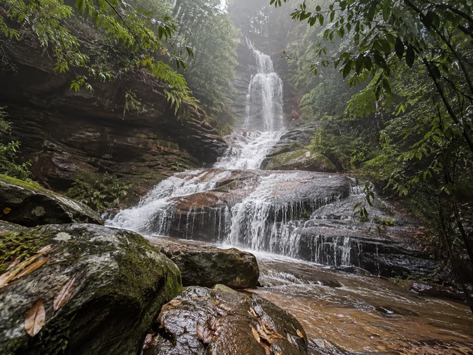
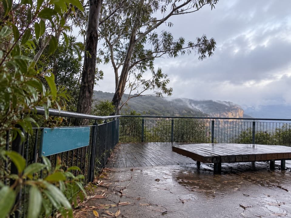
Start in Wentworth Falls village, cross the Great Western Highway by Wilson Park and follow Darwins Walk beside Jamison Creek. The route climbs and descends stairs to Jamison and Wentworth Falls lookouts, Weeping Rock and Fletchers lookout above the falls. Beyond, it passes beneath a sandstone overhang on stepping stones, crosses Den Fenella Creek and climbs back to the escarpment. A steep side trip reaches Valley of the Waters lookout and Conservation Hut; allow extra time if you take it. The main walk continues past Lilians Bridge and Empress Falls lookout through eucalyptus forest, then uses a short road and residential-street link near Fairmont Resort. Watch traffic here. Golf Links lookout brings the first view of the Three Sisters; after Pool of Siloam, steps climb to Gordon Falls picnic area.
Parkwolf’s verdictWentworth Falls to Leura

Map & elevation

The route

Loading the Blue Mountains map
Full map
Elevation822–970 m
TrailheadWentworth Falls village (Darwins Walk start)-33.71131, 150.37368
Keep this map with you offline in the Parkwolf app

Plan your hike

Before you go

Parking

This is a point-to-point walk; public transport is simplest. Paid parking is available in Wentworth Falls, Leura and Katoomba, with some free all-day street spaces. Check signs, arrive early on busy days and plan how you will return to your car from Scenic World.

Safety

Expect repeated steep stairs, short climbs and exposed cliff-edge viewpoints; the route is not wheelchair accessible. Storms and strong winter winds increase risk. Carry enough water for each stage; drinking water is available at Conservation Hut via a steep side trip and at Echo Point. Pets are prohibited except certified assistance animals.

3 active Blue Mountains alerts

  • ClosureRoads and tracks closed across Blue Mountains National ParkMany roads, fire trails and walking tracks across Blue Mountains National Park are closed; do not enter closed areas.Official details
  • CautionPark-wide solid-fuel fire banA park fire ban is active across Blue Mountains National Park: campfires and solid-fuel barbecues and stoves are prohibited. - Gas and electric cookers are permitted, subject to safety rules.Official details
See all 3 alerts
A park ranger sits on a dash-mounted phone, talking, as Parkwolf’s Tour Guide plays “Army Cutworm Moths: A Grizzly Bear Buffet” on Grand Loop Road below Dunraven Pass in Yellowstone
Parkwolf Tour GuideThe highest, rockiest slopes around here are a summer buffet for grizzly bears.

Blue Mountains Tour Guide

Your drive to Grand Cliff Top Walk, narrated.

Parkwolf is a GPS audio tour guide for Blue Mountains National Park. As you drive, it chimes in with what’s ahead: hidden gems, upcoming stops, history, geology, and wildlife, right through your car’s speakers.

See the Blue Mountains audio tour

Recorded for this trailhead

Grand Cliff Top Walk from Wentworth Falls
0:00 / 0:27
“You're nearing Wentworth Falls village, the start of the Grand Cliff Top Walk. The full nineteen-kilometre route links waterfalls and cliff views through Leura to Scenic World, usually over two days.”

Plays as you drive up to this trailhead in the Parkwolf Blue Mountains Tour Guide.

More stories near here in the app

  • Conservation Hut and the Valley of the Waters
  • The Insect That Carries Its Shelter
  • Wentworth Falls from the Picnic Area
  • The Lake That Watered the Trains
  • 188 audio storiesacross Blue Mountains’s roads, triggered by GPS as you drive
  • Wildlife heatmapsfor Grey Kangaroo, Wombat, Red-necked Wallaby, and 13 more
  • Works offlinemaps, 110 trails, 84 places, and audio download before you lose signal
  • CarPlay readysimple controls built for the drive
★★★★★
“Fantastic app with many points of information… It’s great to just turn on while you’re driving and it gives you an audio tour of the national Park. We love it!!!!”
JMJamesApp Store review
Download Parkwolf on the App StoreGet Parkwolf on Google Play

4.7 from 8,600+ ratings

Trail guide

Hiking Grand Cliff Top Walk

The two-day traverseGrand Cliff Top Walk is a one-way walk from Wentworth Falls village to Scenic World in…

Grand Cliff Top Walk is a one-way walk from Wentworth Falls village to Scenic World in Katoomba, linking cliff-top tracks, waterfalls and lookouts through Leura. It is graded 3 and is best treated as two stages, not a loop: 11 km to Gordon Falls and Leura (5–7 hours), then 8 km to Scenic World (4–5 hours). Allow about 9–12 hours on foot, plus stops and an overnight break. The published itinerary is 19 km; the mapped centerline saved here measures about 17.6 km, so use 19 km for planning. The reason for the difference is not established. Either stage can be walked on its own if you arrange transport at both ends.

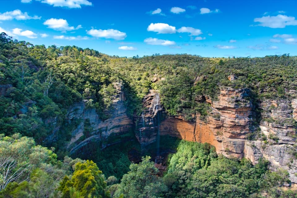
Leura to KatoombaFrom Gordon Falls, a short signed detour reaches the lookout above the creek’s 200 m drop.

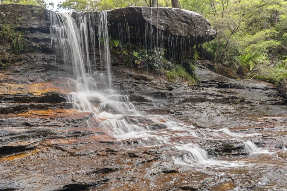
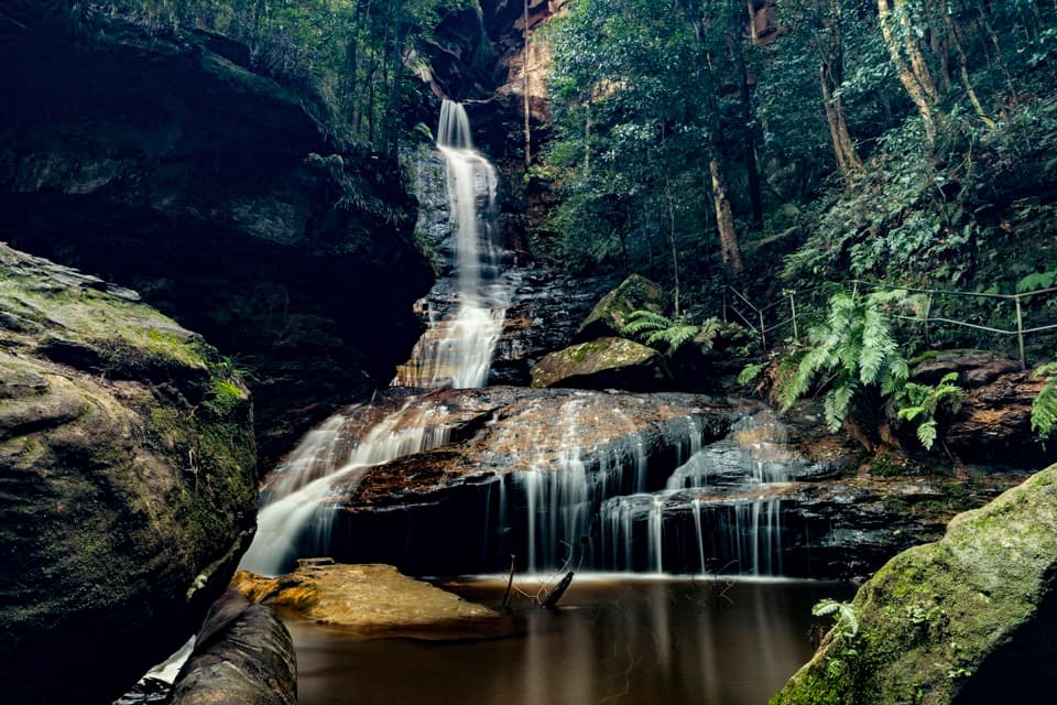
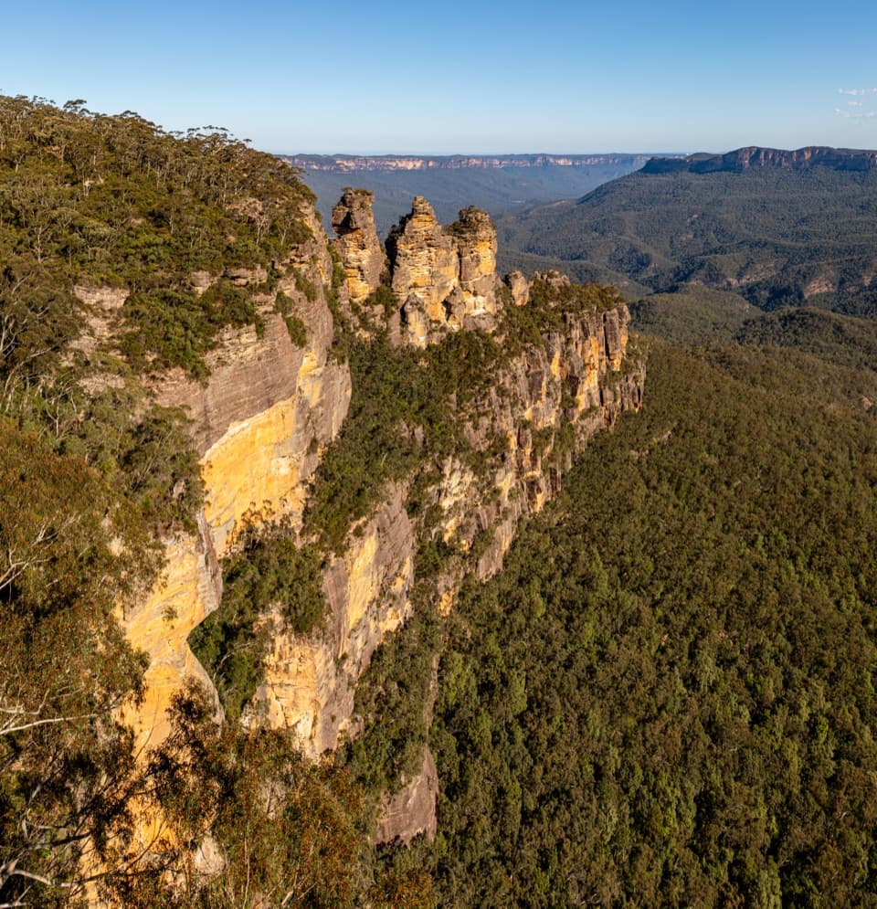
From Gordon Falls, a short signed detour reaches the lookout above the creek’s 200 m drop. The cliff-top route then passes Elysian, Olympian and Tarpeian Rocks lookouts. Buttenshaw Bridge, first built in 1935, crosses the gap between the rocks before stairs descend toward Leura Falls Creek. The track follows a ferny rainforest gully to the top of Leura Cascades, then returns to the escarpment at Tallawalla and Bridal Veil lookouts. At Echo Point, pause for the Three Sisters and Jamison Valley view. The last stretch passes Lady Darleys and Cliff View lookouts, descends to Katoomba Falls and climbs to the picnic area before finishing at Scenic World.

Effort, water and logisticsExpect many stairs and short steep climbs on both stages, with exposed cliff-edge viewpoints.

Expect many stairs and short steep climbs on both stages, with exposed cliff-edge viewpoints. The track is generally formed and signposted, but this is a long walk requiring moderate fitness and it is not wheelchair accessible. Storms and strong winter winds can make the exposed sections hazardous. Carry water and snacks for each stage; drinking water is available at Conservation Hut (via the steep side trip) and Echo Point. Toilets are available at Wentworth Falls village, Conservation Hut, Gordon Falls, Echo Point, Katoomba Falls Reserve and Scenic World. Ordinary pets are not permitted; certified assistance animals are exempt.

This is a point-to-point walk, so public transport is simplest. Trains connect Wentworth Falls and Katoomba; the Katoomba station is about 2 km from Scenic World, with buses, taxis and the Explorer service available for the connection. Paid parking is available in Wentworth Falls, Leura and Katoomba, and some streets allow free all-day parking. Check signs and plan how you will return to your car before starting.

Cliff country and heritageThe walk alternates wet gullies, fern-covered streams and open sandstone ledges above the…

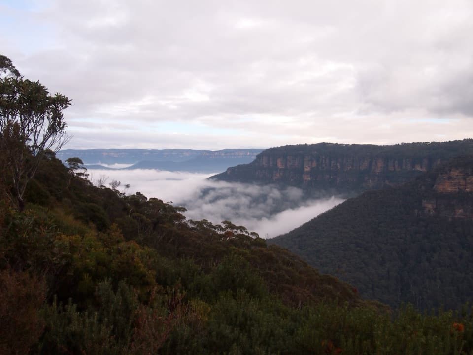
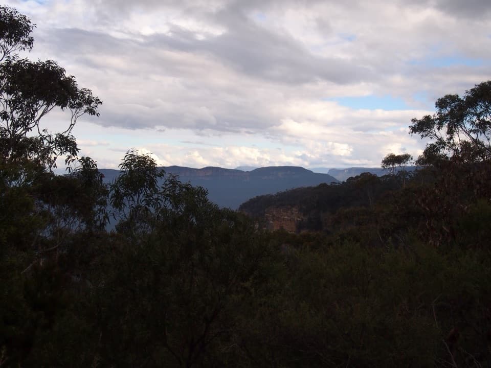
The walk alternates wet gullies, fern-covered streams and open sandstone ledges above the forested Jamison Valley. In clear weather, the lookouts open toward Narrowneck Plateau, Ruined Castle, Kanangra Walls and the Wild Dog Mountains. The Three Sisters are a defining feature at the Katoomba end; Echo Point is an Aboriginal Place, so treat the landscape as a living cultural place and follow local guidance. When water is flowing strongly, the two sections of Leura Cascades can appear to join like a veil from the Bridal Veil lookout.

Wildlife

Wildlife in Blue Mountains

All Blue Mountains wildlife maps

Sighting maps show where each species has been reported across Blue Mountains. Wildlife moves, so no sighting is guaranteed.

Keep exploring

Near Grand Cliff Top Walk

See it all on the map

Trails that start nearby

Places near the trailhead

Parkwolf’s Blue Mountains ranking

Top-rated trails in Blue Mountains

All 110 trails
  1. 1Grand Canyon trackModerate · 6.3 km
  2. 2Three Sisters walkEasy · 0.8 km
  3. 3Lockley Pylon walking trackModerate · 7 km
  4. 4National PassChallenging · 5.1 km
  5. 5Wentworth Pass loop walking trackChallenging · 5 km
  6. 6Prince Henry Cliff walkModerate · 7 km

Take Parkwolf to Blue Mountains.

The audio tour guide for the drive, plus offline maps, trails, and wildlife heatmaps for when the signal drops.

4.7 from 8,600+ ratings

Download Parkwolf on the App StoreGet Parkwolf on Google Play