Wentworth Falls to Leura walk in Blue Mountains National Park

Blue Mountains National Park, NSW

Wentworth Falls to Leura walk

Waterfalls, cliff views and a full day of stairs between villages.

Photo: Wikimedia Commons
Length
11km
Time
6hr
Elev. change
129m
Difficulty
Challenging
  • No dogs
  • High point 950 m
  • #36 of 110 in Blue Mountains

Hear the audio tour

Grand Cliff Top Walk from Wentworth Falls

Overview

About Wentworth Falls to Leura walk

Why go

  • Changing terrain from creek gullies to open cliff viewpoints
  • The overhanging sandstone section is genuinely distinctive

Heads up

  • Repeated stair flights make it tougher than a casual Grade 3 walk
  • Route markers can be easy to miss at junctions and detours

Map & elevation

The route

Loading the Blue Mountains map
Full map
Elevation821–950 m
TrailheadWilson Park, Wentworth Falls village (Darwins Walk entrance)-33.71092, 150.37338
Keep this map with you offline in the Parkwolf app

Plan your hike

Before you go

Parking

Start at Wilson Park in Wentworth Falls village and cross the Great Western Highway to Darwins Walk. Parking is limited at both ends. This is a one-way route, so arrange a return or pickup in advance. Wentworth Falls station is near the start; Gordon Falls is about 1.8 km from Leura station.

Safety

Expect repeated steep descents and climbs with long flights of steps, plus exposed cliff viewpoints. Wayfinding can be difficult around junctions and detours, so keep an offline map ready. Carry enough water for the full stage; no reliable refill point was confirmed along the track. Dogs are prohibited except certified assistance animals.

3 active Blue Mountains alerts

  • ClosureRoads and tracks closed across Blue Mountains National ParkMany roads, fire trails and walking tracks across Blue Mountains National Park are closed; do not enter closed areas.Official details
  • CautionPark-wide solid-fuel fire banA park fire ban is active across Blue Mountains National Park: campfires and solid-fuel barbecues and stoves are prohibited. - Gas and electric cookers are permitted, subject to safety rules.Official details
See all 3 alerts
A park ranger sits on a dash-mounted phone, talking, as Parkwolf’s Tour Guide plays “Army Cutworm Moths: A Grizzly Bear Buffet” on Grand Loop Road below Dunraven Pass in Yellowstone
Parkwolf Tour GuideThe highest, rockiest slopes around here are a summer buffet for grizzly bears.

Blue Mountains Tour Guide

Your drive to Wentworth Falls to Leura walk, narrated.

Parkwolf is a GPS audio tour guide for Blue Mountains National Park. As you drive, it chimes in with what’s ahead: hidden gems, upcoming stops, history, geology, and wildlife, right through your car’s speakers.

See the Blue Mountains audio tour

Recorded for this trailhead

Grand Cliff Top Walk from Wentworth Falls
0:00 / 0:27
“You're nearing Wentworth Falls village, the start of the Grand Cliff Top Walk. The full nineteen-kilometre route links waterfalls and cliff views through Leura to Scenic World, usually over two days.”

Plays as you drive up to this trailhead in the Parkwolf Blue Mountains Tour Guide.

More stories near here in the app

  • Conservation Hut and the Valley of the Waters
  • The Insect That Carries Its Shelter
  • Wentworth Falls from the Picnic Area
  • The Creek's Grinding Bowl
  • 188 audio storiesacross Blue Mountains’s roads, triggered by GPS as you drive
  • Wildlife heatmapsfor Grey Kangaroo, Wombat, Red-necked Wallaby, and 13 more
  • Works offlinemaps, 110 trails, 84 places, and audio download before you lose signal
  • CarPlay readysimple controls built for the drive
★★★★★
“Fantastic app with many points of information… It’s great to just turn on while you’re driving and it gives you an audio tour of the national Park. We love it!!!!”
JMJamesApp Store review
Download Parkwolf on the App StoreGet Parkwolf on Google Play

4.7 from 8,600+ ratings

Trail guide

Hiking Wentworth Falls to Leura walk

The first Grand Cliff Top dayThis is a one-way 11 km walk from Wilson Park in Wentworth Falls village to Gordon Falls Picnic…

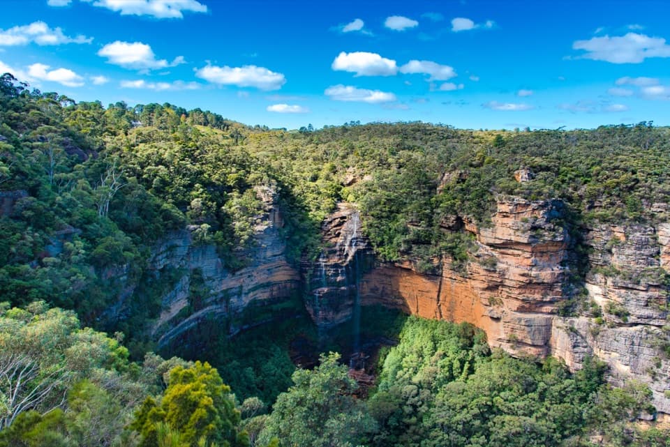
This is a one-way 11 km walk from Wilson Park in Wentworth Falls village to Gordon Falls Picnic Area near Leura. Allow 5–7 hours for the first day of the Grand Cliff Top Walk. It links creekside paths, Wentworth Falls lookouts, the Overcliff–Undercliff cliff route and Pool of Siloam before a long stair climb at the end. Choose it for a full day of waterfalls and Jamison Valley views if you’re comfortable with repeated climbing and descending. The full Grand Cliff Top is a separate 19 km, two-day walk that continues from Gordon Falls to Katoomba; this route ends at the picnic area, not Leura station.

From the village to the fallsCross the Great Western Highway from the village to Wilson Park and follow Darwins Walk beside…

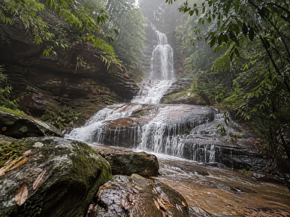
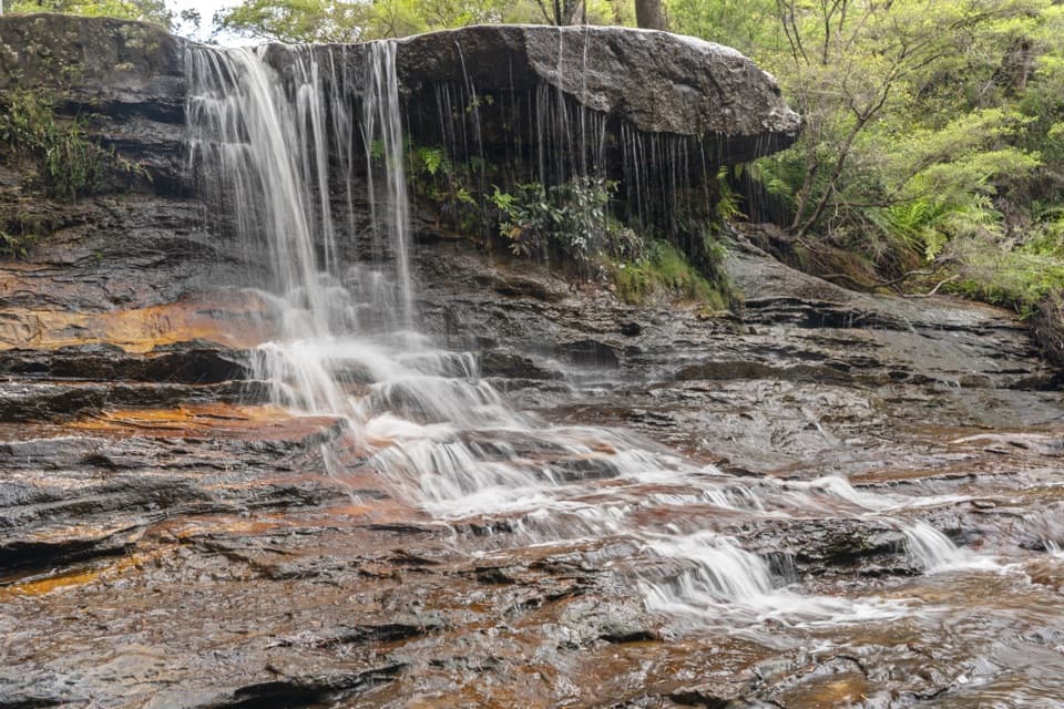
Cross the Great Western Highway from the village to Wilson Park and follow Darwins Walk beside Jamison Creek. Steps take you through the Wentworth Falls area, where Weeping Rock spills over a sandstone ledge and nearby lookouts frame the falls’ roughly 100 m drop into Jamison Valley. The steep Valley of the Waters and Conservation Hut branch is an optional side trip, not needed to reach Leura; take it only if you want more descent, climbing and time on the track.

Under the sandstoneThe main route turns west onto Overcliff–Undercliff Track.

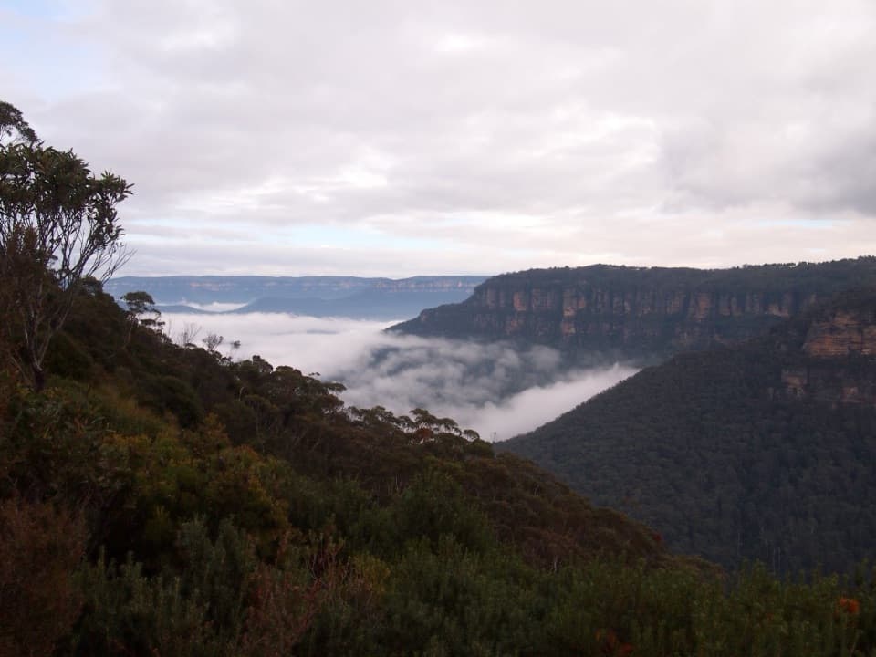
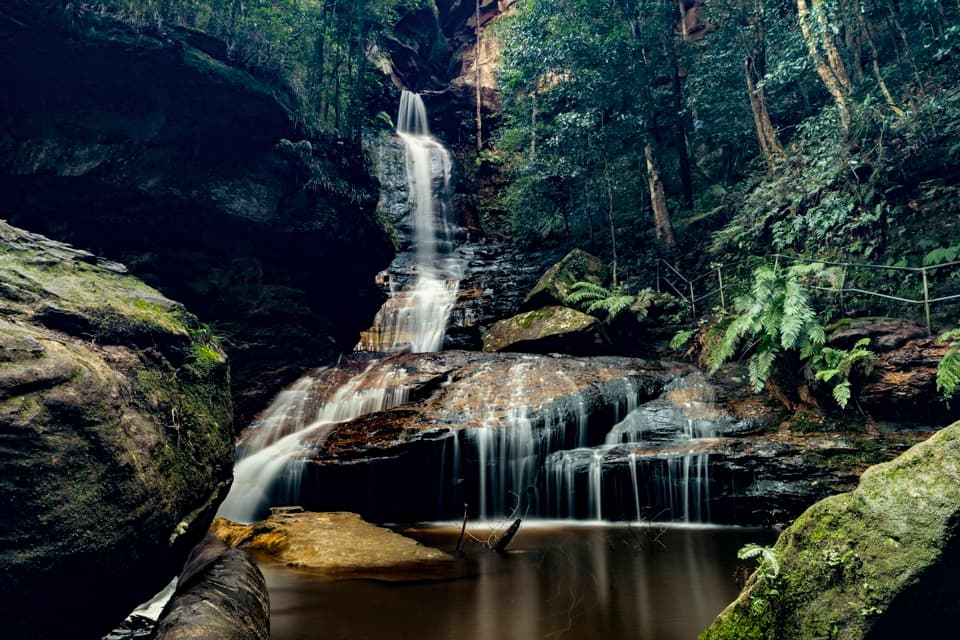
The main route turns west onto Overcliff–Undercliff Track. One stretch passes beneath an arching sandstone wall, with stepping stones and creek crossings before the track climbs back to the escarpment. Shaded fern gullies alternate with open viewpoints over the valley. This is a formed Grade 3 walk, but the stairs and short, steep rises keep adding up through the day.

The last stretch to Gordon FallsPast Empress Falls lookout, the route runs through eucalyptus forest and makes short road or…

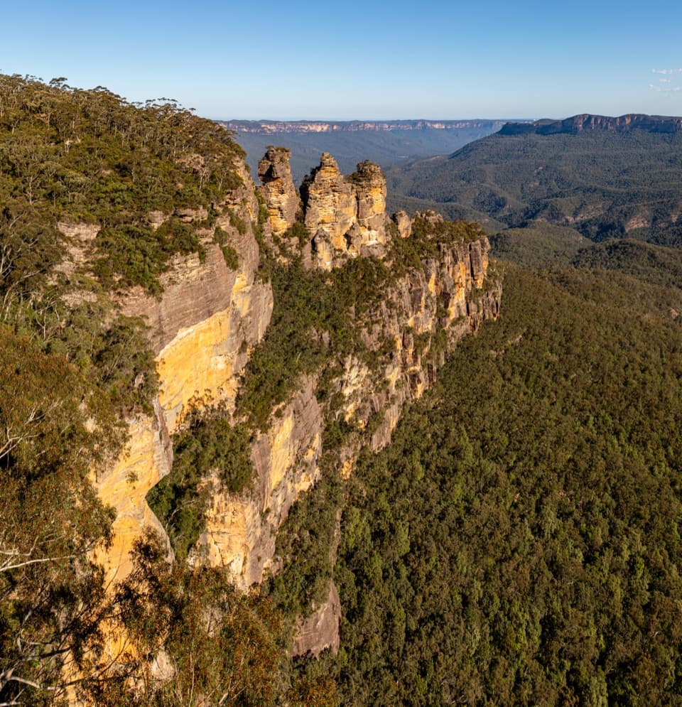
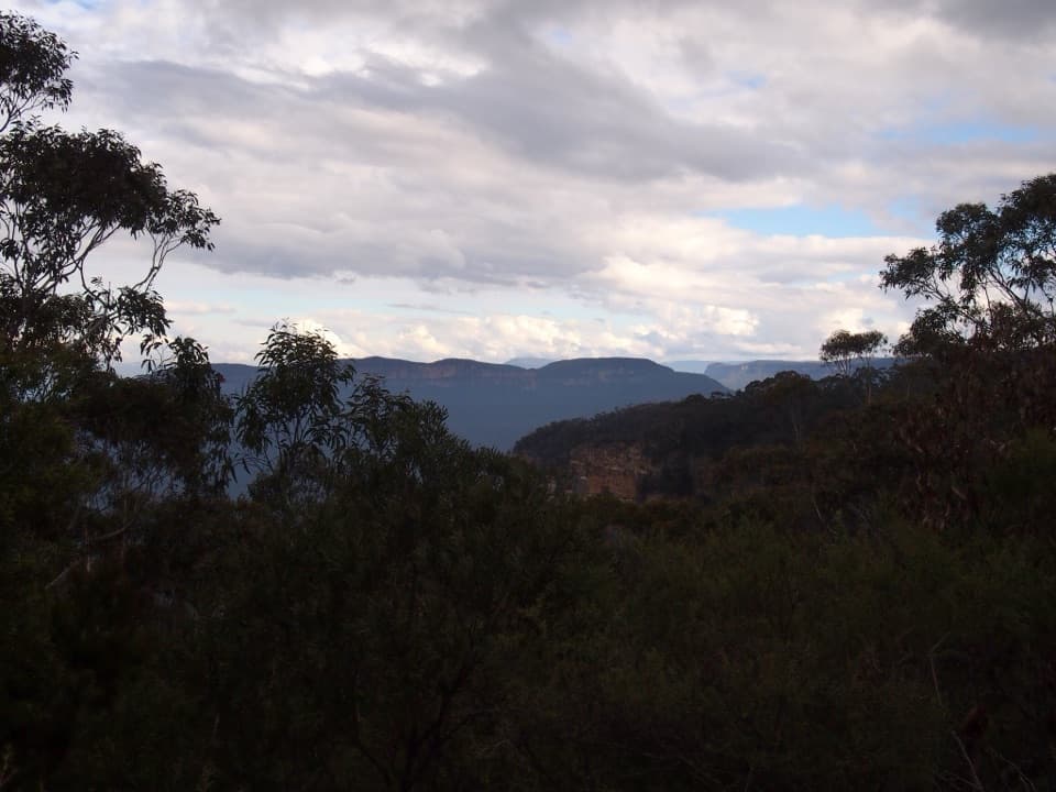
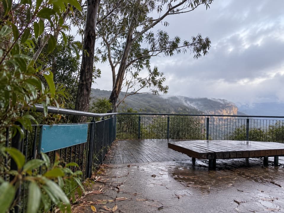
Past Empress Falls lookout, the route runs through eucalyptus forest and makes short road or street links near Fairmont Resort. Golf Links lookout opens the view toward the Three Sisters, then Pool of Siloam offers a small waterfall and stepping stones in a ferny pocket. From there, many steps climb to Gordon Falls Picnic Area. A short optional detour reaches Gordon Falls lookout for another Jamison Valley view; it adds a little distance after an already stair-heavy day.

Effort, signs and logisticsNPWS calls the track clearly signposted, but walkers have repeatedly found the route markers…

NPWS calls the track clearly signposted, but walkers have repeatedly found the route markers easy to miss around junctions and detours. Keep an offline map handy. The official grade is 3 and requires some bushwalking experience; repeated stairs make this feel harder than a casual half-day walk. The route is one-way, so arrange a pickup or return journey first. Parking is limited at both ends. Wentworth Falls station is near the start, while Gordon Falls is about 1.8 km from Leura station. Cafes and restaurants are in the villages rather than along the track, and no reliable drinking-water refill point was confirmed on route. Toilets are available in the villages and at the picnic areas; Conservation Hut is a detour.

Gundungurra Country and the waterfallsThe walk is on Gundungurra Country, in a landscape of sandstone escarpments, creek gullies and…

The walk is on Gundungurra Country, in a landscape of sandstone escarpments, creek gullies and pockets of fern rainforest. Wentworth Falls is named for William Charles Wentworth, one of the 1813 expedition party that crossed the Blue Mountains. Listen for lyrebirds, crimson rosellas and yellow-tailed black cockatoos; Wumbarrung is the Gundungurra name for the yellow-tailed black cockatoo, whose flight is used as the Grand Cliff Top’s walking symbol.

Wildlife

Wildlife in Blue Mountains

All Blue Mountains wildlife maps

Sighting maps show where each species has been reported across Blue Mountains. Wildlife moves, so no sighting is guaranteed.

Keep exploring

Near Wentworth Falls to Leura walk

See it all on the map

Trails that start nearby

Places near the trailhead

Parkwolf’s Blue Mountains ranking

Top-rated trails in Blue Mountains

All 110 trails
  1. 1Grand Canyon trackModerate · 6.3 km
  2. 2Three Sisters walkEasy · 0.8 km
  3. 3Lockley Pylon walking trackModerate · 7 km
  4. 4National PassChallenging · 5.1 km
  5. 5Wentworth Pass loop walking trackChallenging · 5 km
  6. 6Prince Henry Cliff walkModerate · 7 km

Take Parkwolf to Blue Mountains.

The audio tour guide for the drive, plus offline maps, trails, and wildlife heatmaps for when the signal drops.

4.7 from 8,600+ ratings

Download Parkwolf on the App StoreGet Parkwolf on Google Play