Parking
The unmarked entrance climbs directly up the bank beside Kings Tableland Road, south of Wentworth Falls. Shoulder parking near the start is limited; use a safe pull-off and keep the road clear.
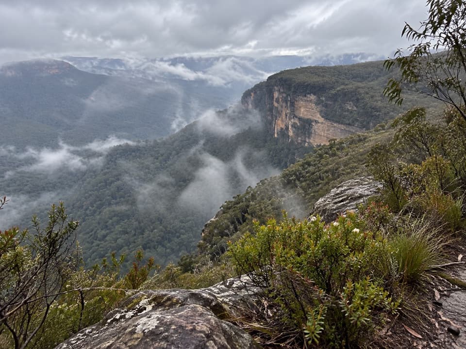
Blue Mountains National Park, NSW
An unmarked ridge walk to a broad Kedumba Valley view.
Overview
Map & elevation
Plan your hike

The highest, rockiest slopes around here are a summer buffet for grizzly bears.
Blue Mountains Tour Guide
Parkwolf is a GPS audio tour guide for Blue Mountains National Park. As you drive, it chimes in with what’s ahead: hidden gems, upcoming stops, history, geology, and wildlife, right through your car’s speakers.
See the Blue Mountains audio tourRecorded for this area
Where the Blue Comes From“When a distant ridge looks blue, part of that colour begins in the leaves. Eucalypts release gases that react in the atmosphere, helping to form tiny airborne particles.”
Plays on the road 2.3 km from the trailhead in the Parkwolf Blue Mountains Tour Guide.
More stories near here in the app
“Fantastic app with many points of information… It’s great to just turn on while you’re driving and it gives you an audio tour of the national Park. We love it!!!!”


Trail guide
Lions Head walking track is an informal out-and-back on the western edge of Kings Tableland, from Kings Tableland Road to a ridge lookout over Kedumba Valley toward Mount Solitary. Plan on about 6.9 km (4.3 mi) return and 2 to 3 hours. Treat the distance as approximate: the best available walk estimate is 6.9 km return, while the mapped route is roughly 3.1 km one way.
The entrance is an unmarked track climbing directly up the bank beside the road. Views into the Jamieson and Kedumba valleys open along much of the ridge, with the Lions Head sandstone cliffs partly screened by trees. The tread is mostly straightforward at first, then rough and overgrown near the end; it may fade briefly a few hundred metres before the lookout, where a few metres of scrambling finish the walk.
This informal route has no park-published track description, so confirm public access with NSW National Parks and Wildlife Service before setting out. Limited roadside shoulder parking is available near the unmarked entrance; pull fully clear of the carriageway. This record ends at the viewpoint and excludes the separate technical pass descent. Dogs and other pets are not permitted in NSW national parks.
Wildlife
 58 sightingsGrey KangarooMost seen around 6 AMSighting map
 43 sightingsWombatMost seen around 6 PMSighting map
 18 sightingsRed-necked WallabyMost seen around 6 PMSighting map
 53 sightingsSwamp WallabyMost seen around 7 AMSighting map
 23 sightingsBrushtail PossumMost seen around 7 PMSighting map
 30 sightingsRing-tailed PossumMost seen around 7 PMSighting map
Sighting maps show where each species has been reported across Blue Mountains. Wildlife moves, so no sighting is guaranteed.
Keep exploring
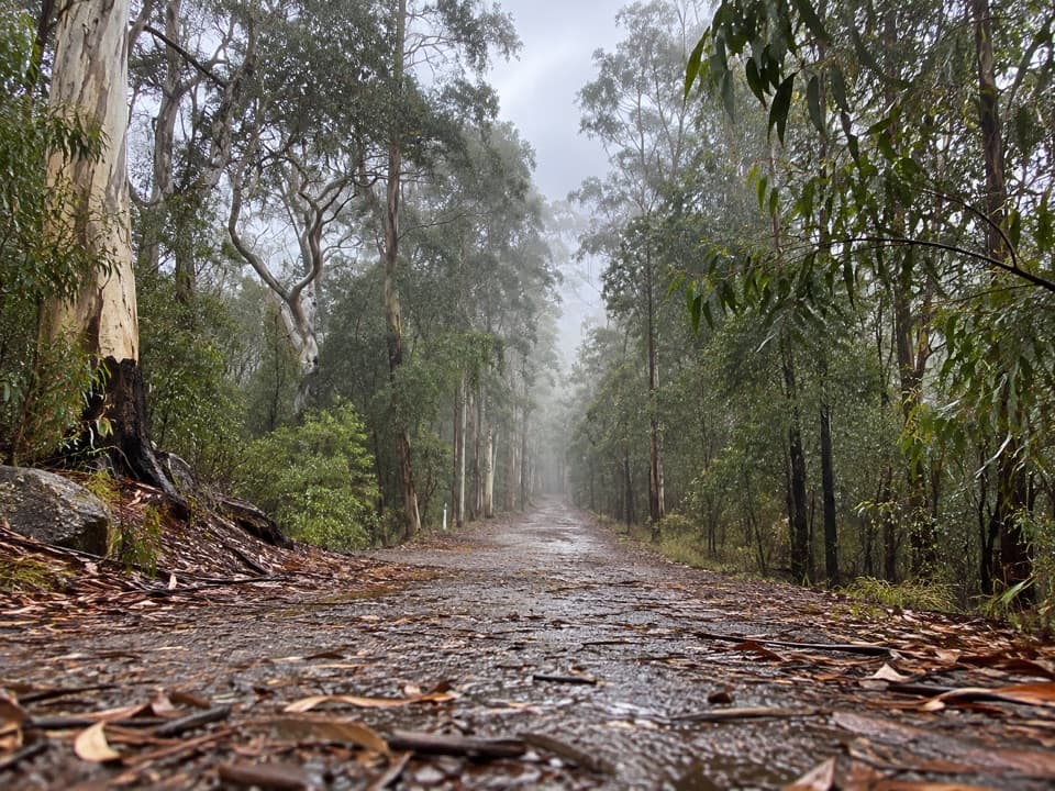 ChallengingKedumba Valley Loop19 km · 7.9 hr · 4.1 km awayA big descent into a historic valley, then the long climb out.
 EasyKings Tableland Walk to Rocket Point1.2 km · 45 min · 8.1 km awayA short bush track ends at a waterfall view from the escarpment.
 ModerateIngar Campsite Loop2.5 km · 1 hr · 8.3 km awayA punchy climb packed into a loop from Ingar Campground.
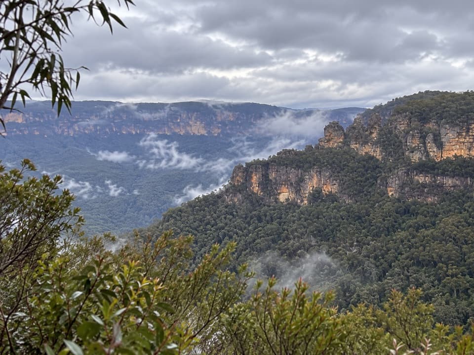 EasySublime Point Lookout Walk0.5 km · 30 min · 8.9 km awayA short walk ends at a big view across Jamison Valley.
 EasyInspiration Point walking track2.5 km · 1.5 hr · 9.1 km awayTwo valley lookouts, with both Wentworth Falls drops in view.
 EasyPrinces Rock walking track0.8 km · 45 min · 9.1 km awayA short stepped walk reaches a historic lookout over Wentworth Falls.
 ChallengingNational Pass5.1 km · 3 hr · 9.1 km awayA cliffside stairway links sandstone ledges, waterfalls, and valley views.
 ModerateDen Fenella walking track1 km · 54 min · 9.1 km awayA short stairway into tree-fern rainforest and a creekside cascade.
 Campground · 1.9 km awayKedumba River Crossing campgroundA steep walk to a grassy riverside camp beneath sandstone cliffs.
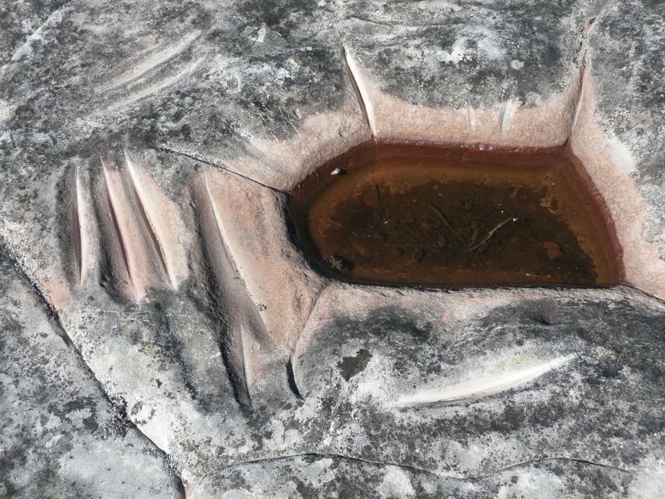 Sight · 6.9 km awayKings Tableland Aboriginal PlaceGrinding grooves and carved animal tracks reward this remote 4WD detour.
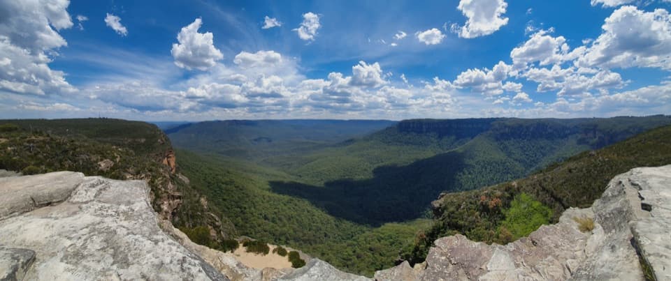 Sight · 7.4 km awayLincoln's RockBare sandstone, wide Jamison Valley views, and an exposed edge.
 Campground · 8.3 km awayIngar campgroundA remote walk-in camp beside Ingar Creek's rocky waterhole.
 Sight · 8.7 km awayRocket Point lookoutA steep spur gives you a different angle on Wentworth Falls.
 Sight · 8.8 km awaySublime Point Lookout, LeuraA quieter lookout for a fresh angle on Jamison Valley.
 Sight · 8.8 km awayWentworth FallsA 100-metre plunge rewards the steep walk down.
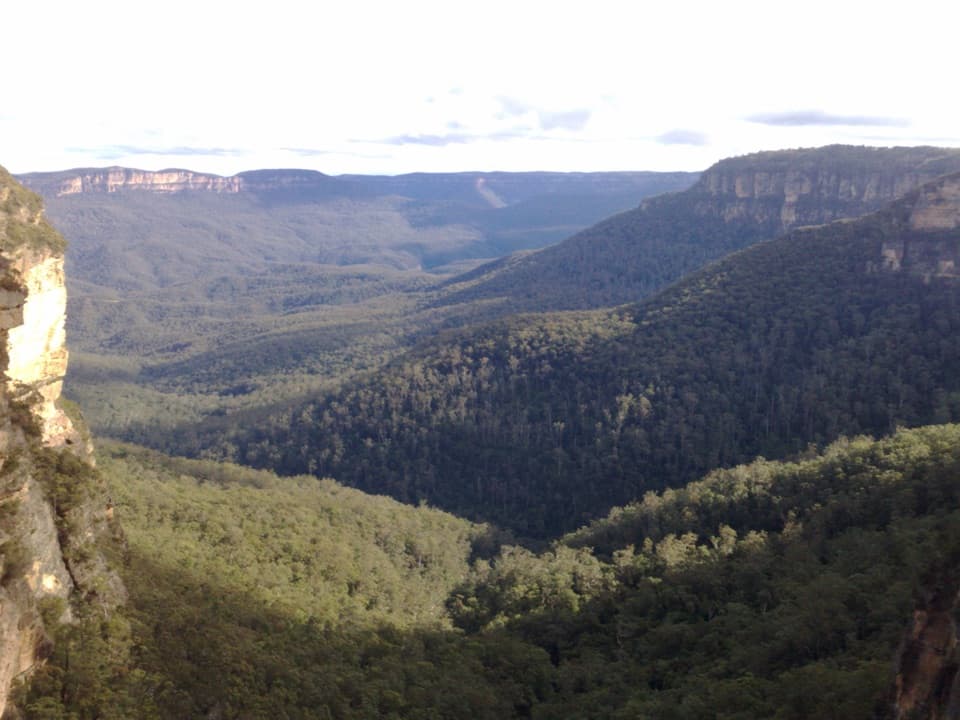 Sight · 8.9 km awayFletchers LookoutA 200-step descent gets you close to Wentworth Falls.
Parkwolf’s Blue Mountains ranking

The audio tour guide for the drive, plus offline maps, trails, and wildlife heatmaps for when the signal drops.




