Parking
Small roadside pullout on the east side of Highway 16, opposite a pipeline and about 3.5 km southwest of the Pocahontas/Miette Hot Springs Road junction; the approach starts via a short access road near the powerline.

Jasper National Park, AB
Steep, exposed Roche Miette summit scramble with big Athabasca valley views
Overview
Roche Miette is the hulking limestone landmark visible from Highway 16, with a broad summit and far-reaching views over the Athabasca valley, Brûlé Lake, and the surrounding ranges. This is an 8.0-mile (12.8 km) out-and-back scramble to the 2,316 m summit, with about 1,330 m of elevation gain. The route line follows the physical ascent corridor once; hike that corridor back to the pullout for the full round-trip distance.
Map & elevation
Plan your hike

The highest, rockiest slopes around here are a summer buffet for grizzly bears.
Jasper Tour Guide
Parkwolf is a GPS audio tour guide for Jasper National Park. As you drive, it chimes in with what’s ahead: hidden gems, upcoming stops, history, geology, and wildlife, right through your car’s speakers.
See the Jasper audio tourRecorded for this area
Trumpeter Swans of Jasper Lake: A Comeback You Can Hear“In the spring and fall, the shallow flats of Jasper and Talbot Lakes become a critical rest stop for trumpeter swans.”
Plays on the road 0.7 km from the trailhead in the Parkwolf Jasper Tour Guide.
More stories near here in the app
“Fantastic app with many points of information… It’s great to just turn on while you’re driving and it gives you an audio tour of the national Park. We love it!!!!”


Trail guide
The route begins on an overgrown road and forest trail, then climbs a long north ridge to the saddle. Above the saddle, the route steepens through loose scree and hands-on scrambling before reaching the undulating summit plateau and the summit cairn. Expect roughly 5–8 hours depending on pace and conditions. The upper mountain is exposed, windy, and not a maintained Parks Canada trail.
Limestone cliffs, eroded rock, open ridge walking, and summit views are the rewards. Bighorn sheep are commonly seen in the area, and black bears are present. Late spring and summer can bring wildflowers on the forested approach.
The primary access is a small pullout on the east side of Highway 16, opposite a pipeline and about 3.5 km southwest of the Pocahontas/Miette Hot Springs Road junction. From the pullout, follow the short access road and the marked approach. Two cairned side trails can appear early; take the second, more northerly turn near the top of a rise, which leads to the correct ridge route.
This is a difficult, strenuous scramble for fit hikers with route-finding and scrambling experience. Loose rock, rockfall, steep scree, exposure, and changing mountain weather are serious hazards; a helmet is recommended for the scrambling sections. Carry all water because there are no reliable sources on the route. Start early and turn around if thunderstorms, strong wind, snow, or ice make the ridge or upper route unsafe.
Wear sturdy footwear, carry layers, and treat the flagging and cairns as navigation aids rather than a maintained trail. The summit approach has multiple options through the final rock band, but do not choose a line beyond your ability.
Wildlife
 174 sightingsGrizzly BearMost seen around 8 PMSighting map
 43 sightingsCaribouMost seen around 7 AMSighting map
 40 sightingsGray WolfMost seen around 6 AMSighting map
 12 sightingsCanada LynxMost seen around 8 PMSighting map
 315 sightingsMooseMost seen around 6 AMSighting map
 1,028 sightingsElkMost seen around 7 AMSighting map
Sighting maps show where each species has been reported across Jasper. Wildlife moves, so no sighting is guaranteed.
Keep exploring
 EasyPocahontas Mine Trail1 km · 20 min · 3.4 km awayEasy 900 m paved loop through Jasper’s historic Pocahontas mine site
 EasyJasper House Historic Site Trail0.8 km · 20 min · 4.5 km awayA quick stroll to a history-rich Athabasca River viewpoint.ModerateCelestine Lake Trail13.7 km · 4.5 hr · 5.7 km awayA quiet old-road walk to Celestine Lake and its backcountry campground.ChallengingSnake Indian Falls Trail53.4 km · 14.8 hr · 5.7 km awayA remote ride-or-hike to Jasper’s thundering Snake Indian Falls.ChallengingNorth Boundary Trail172.9 km · 3 days · 5.7 km away107.5 miles of remote Rockies valleys, solitude, and serious river fords
 ChallengingUtopia Mountain9.8 km · 7.5 hr · 14.3 km awayBig, committing scramble from Miette Hot Springs with knockout viewsChallengingUtopia Mountain Trail9.8 km · 7.5 hr · 14.3 km awaySteep, loose, view-packed scramble above Miette Hot Springs
 Campground · 3.9 km awayPocahontas CampgroundQuiet, treed campground near Miette Hot Springs with flush toilets
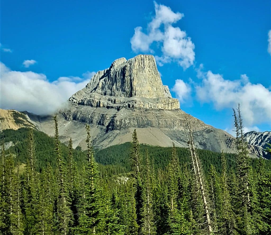 Sight · 3.9 km awayRoche MietteFlat-topped limestone icon with a stout scramble and huge views
 Sight · 4.4 km awayJasper House National Historic SiteShort walk to a fur-trade viewpoint over the Athabasca
 Sight · 5.5 km awayCelestine LakeQuiet, aqua-blue backcountry lake reached by a timed one-way road
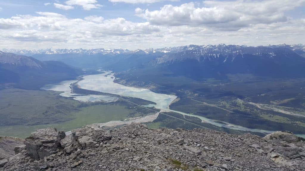 Sight · 9.4 km awayJasper LakeShallow Athabasca River lake with rare sand dunes and big views
 Sight · 10.2 km awayTalbot LakeClear, shallow lake with dunes, pike fishing, and a quick panorama
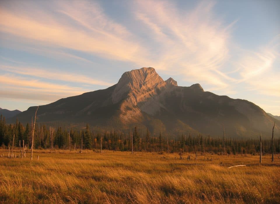 Sight · 11.3 km awayRoche à PerdrixShort, punchy scramble with feathered rock and big Fiddle views
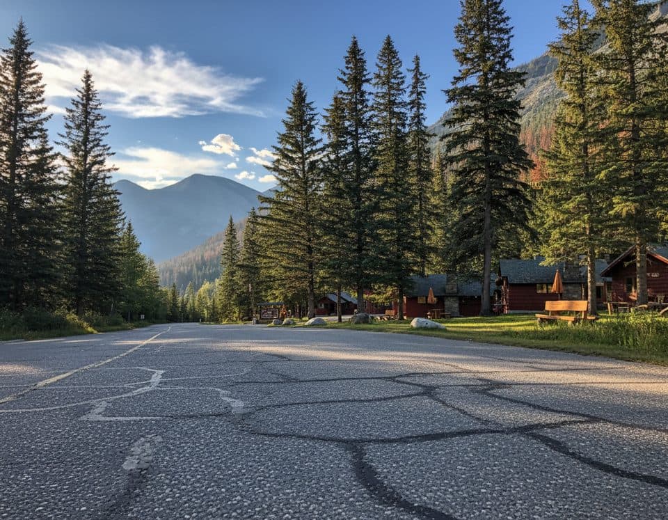 Lodging · 14.3 km awayMiette Hot Springs BungalowsRustic cabins steps from the hot springs with a handy onsite restaurant
Parkwolf’s Jasper ranking

The audio tour guide for the drive, plus offline maps, trails, and wildlife heatmaps for when the signal drops.





