
Place
Easy
A quick hit of history, forest, and easy views, the Pocahontas Mine Trail delivers more than you’d expect from such a short walk. It’s ideal if you’re driving Miette Road toward the hot springs and want a low‑commitment stop that still feels like a “real” outing.
The lower loop (about 0.5–0.6 mi / 800–900 m total) circles the old Pocahontas coal mine site. It’s mostly flat and fully paved, so it’s one of Jasper’s rare wheelchair‑friendly strolls. If you want more, add the upper loop (about 1.1 mi / 1.7–2 km) for a bit of natural surface and broader mountain/valley glimpses. There’s also a short, uphill spur to Punchbowl Falls from the upper loop—worth it if you’ve got the time and legs.
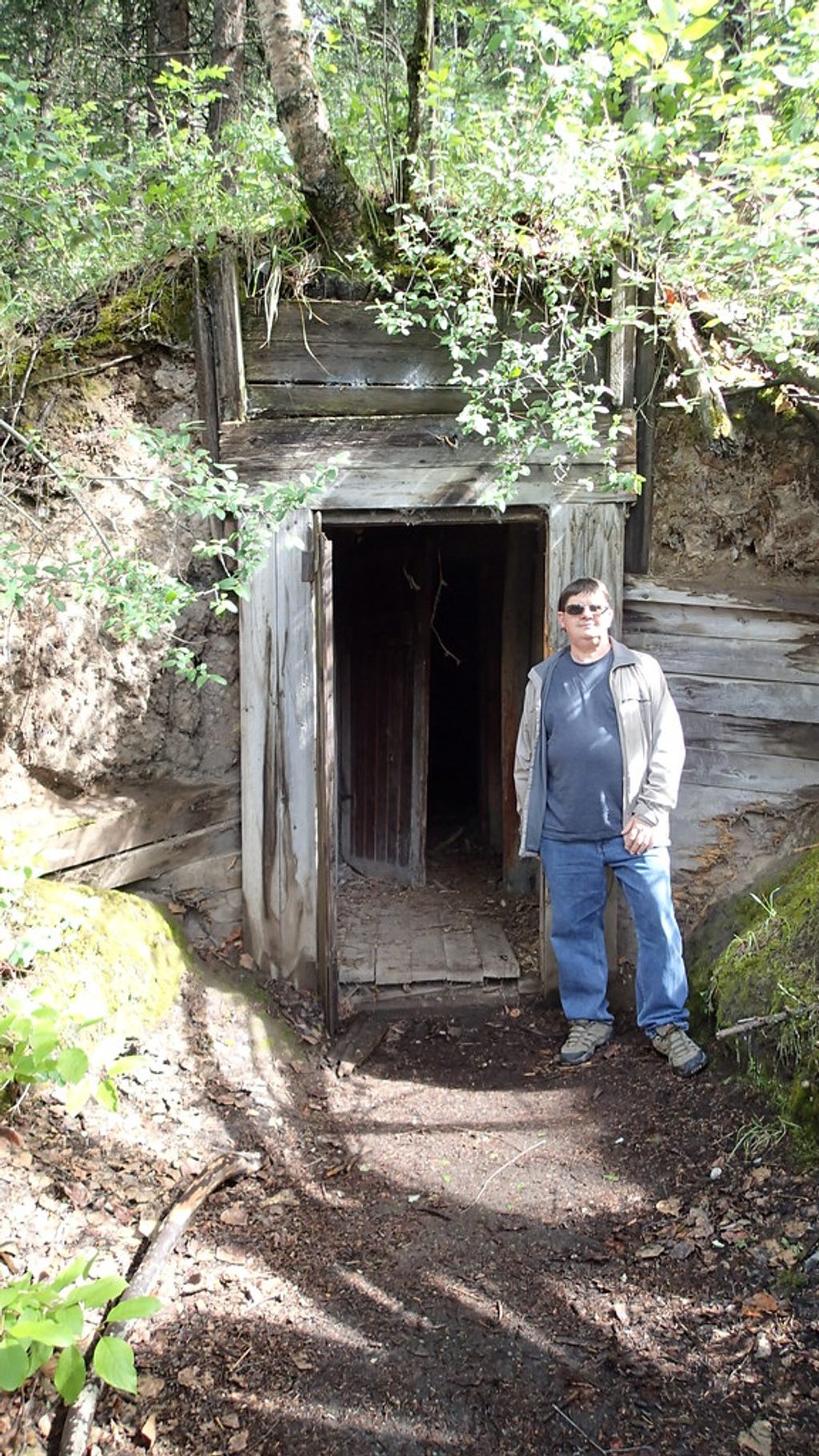
The draw here is the mine ruins—weathered, overgrown remnants that hint at Jasper’s early 20th‑century coal era. The path moves through aspen and spruce forest with mossy patches and seasonal wildflowers, then opens to occasional mountain views on the upper loop. Punchbowl Falls is a compact cascade pouring from a narrow rock cleft into a small pool—great for a quick photo stop.
Stay off and out of any structures—the ruins are unstable. Signage can be minimal, especially beyond the paved loop, so download a map if you’re planning the upper loop or the falls detour. Expect some company in peak season; this is a popular family walk.
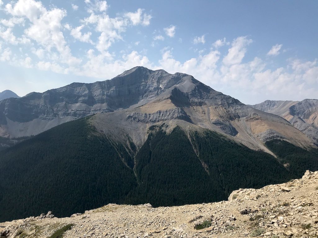
You’re on the park’s east side near limestone cliffs (Roche Miette looms in the broader valley). The coal seams that fed the mine are typical of the Rockies’ eastern slopes and shaped the region’s early development.
May through October offers the best footing and access. In summer, go early or late for thinner crowds and softer light; shoulder‑season weekdays are the quietest. If you’re stacking the day, it pairs perfectly with nearby Miette Hot Springs or, for a bigger effort, the Sulphur Skyline trail.
Park along Miette Road across from Pocahontas Cabins or near Pocahontas Campground; the signed trail access is in this area.
Do not enter mine ruins—unstable structures. Signage is limited beyond the paved loop; carry a map if adding the upper loop or Punchbowl Falls spur.
Place
Place
Place
Place
Challenging
Moderate
Moderate
Challenging

Parkwolf Tour Guide
