Parking
Park at the Miette Hot Springs parking lot. The Source of the Springs trailhead starts from the lot, with picnic tables in the nearby day-use area.
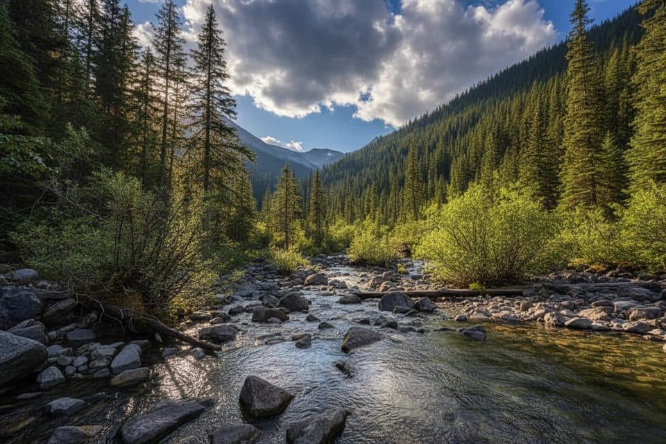
Jasper National Park, AB
Short stroll to a steaming spring source and eerie aquacourt ruins
Overview
Map & elevation
Plan your hike

The highest, rockiest slopes around here are a summer buffet for grizzly bears.
Jasper Tour Guide
Parkwolf is a GPS audio tour guide for Jasper National Park. As you drive, it chimes in with what’s ahead: hidden gems, upcoming stops, history, geology, and wildlife, right through your car’s speakers.
See the Jasper audio tourRecorded for this trailhead
Miette Hot Springs: Hottest in the Rockies“You're getting close to the Miette Hot Springs, located at the end of this winding road.”
Plays as you drive up to this trailhead in the Parkwolf Jasper Tour Guide.
More stories near here in the app
“Fantastic app with many points of information… It’s great to just turn on while you’re driving and it gives you an audio tour of the national Park. We love it!!!!”


Trail guide
If you want to see where Miette's mineral water begins, this is an easy, compact outing. The 0.75-mile return walk starts at the Miette Hot Springs parking lot and follows the creek to the spring source. Allow about 30 minutes, with extra time for the ruins and photos.
The route begins through the ruins of the old aquacourt, then continues along a paved trail and boardwalk beside Sulphur Creek. The spring source is the destination, not a summit or a long backcountry route, so this works well when you want a memorable leg stretcher in the Miette area.
Photograph the weathered aquacourt ruins with the creek in the frame to show how the historic site and geothermal landscape fit together. The sulphur smell gets stronger near the source.
The official route is an out-and-back, with the physical trail corridor walked twice. Footing is generally easy, but boardwalks can be slippery when wet. Dogs are not allowed on Jasper trails, and Miette Road has seasonal closures, so check access before making the drive.
The Miette Hot Springs parking lot and nearby day-use area are the practical starting point, with picnic tables close to the Source of the Springs trailhead. If you are choosing between this and a bigger hike, keep this one for the history, geothermal feature, and very small time commitment.
Wildlife
 174 sightingsGrizzly BearMost seen around 8 PMSighting map
 43 sightingsCaribouMost seen around 7 AMSighting map
 40 sightingsGray WolfMost seen around 6 AMSighting map
 12 sightingsCanada LynxMost seen around 8 PMSighting map
 315 sightingsMooseMost seen around 6 AMSighting map
 1,028 sightingsElkMost seen around 7 AMSighting map
Sighting maps show where each species has been reported across Jasper. Wildlife moves, so no sighting is guaranteed.
Keep exploring
 ChallengingUtopia Mountain9.8 km · 7.5 hr · At the trailheadBig, committing scramble from Miette Hot Springs with knockout viewsChallengingUtopia Mountain Trail9.8 km · 7.5 hr · At the trailheadSteep, loose, view-packed scramble above Miette Hot Springs
 ChallengingSulphur Skyline8.9 km · 5 hr · 0.1 km awaySteep climb to a 360-degree ridge, then a hot-springs soak belowEasyPocahontas Mine Interpretive Trail0.8 km · 20 min · 12.6 km awayEasy 0.5-mile loop through the historic Pocahontas mine site
 EasyPocahontas Mine Trail1 km · 20 min · 13.1 km awayEasy 900 m paved loop through Jasper’s historic Pocahontas mine site
 EasyJasper House Historic Site Trail0.8 km · 20 min · 14 km awayA quick stroll to a history-rich Athabasca River viewpoint.
 ChallengingRoche Miette12.9 km · 7 hr · 14.3 km awaySteep, exposed Roche Miette summit scramble with big Athabasca valley viewsModerateCelestine Lake Trail13.7 km · 4.5 hr · 18 km awayA quiet old-road walk to Celestine Lake and its backcountry campground.
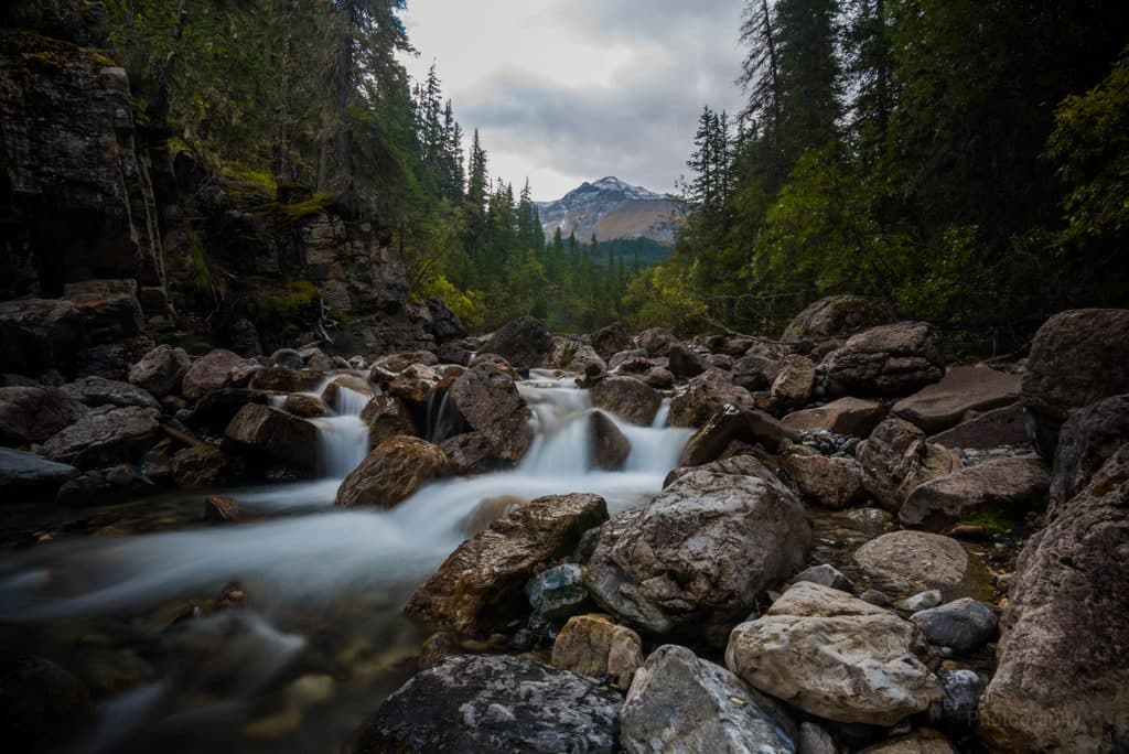 Sight · 0.2 km awayMiette Hot SpringsSoak in the Rockies’ hottest springs with big mountain views
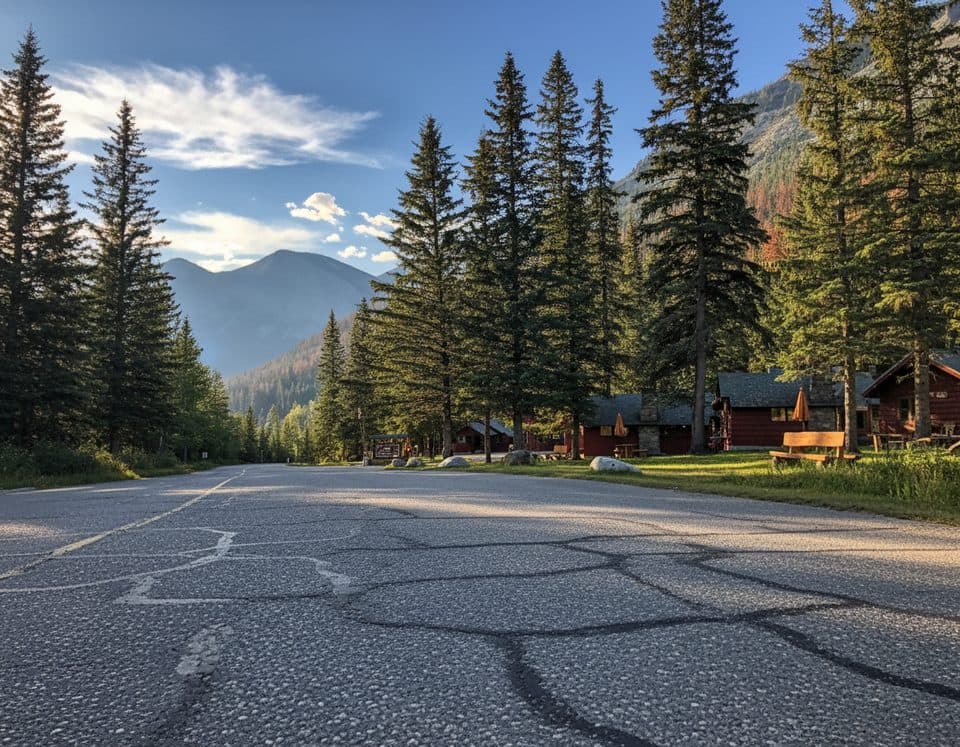 Lodging · 0.4 km awayMiette Hot Springs BungalowsRustic cabins steps from the hot springs with a handy onsite restaurant
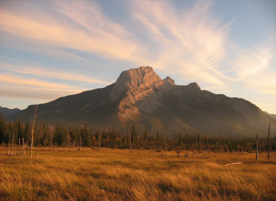 Sight · 9.5 km awayRoche à PerdrixShort, punchy scramble with feathered rock and big Fiddle views
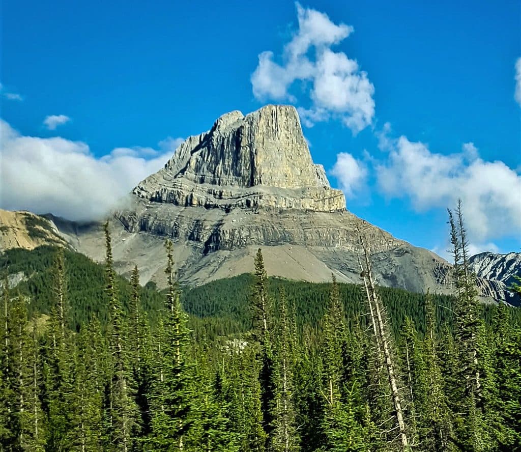 Sight · 10.5 km awayRoche MietteFlat-topped limestone icon with a stout scramble and huge views
 Campground · 11.8 km awayPocahontas CampgroundQuiet, treed campground near Miette Hot Springs with flush toilets
 Sight · 13.8 km awayJasper House National Historic SiteShort walk to a fur-trade viewpoint over the Athabasca
 Sight · 15.3 km awayTalbot LakeClear, shallow lake with dunes, pike fishing, and a quick panorama
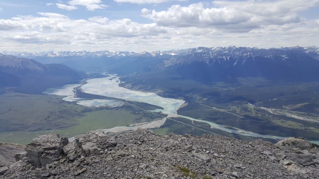 Sight · 15.9 km awayJasper LakeShallow Athabasca River lake with rare sand dunes and big views
Parkwolf’s Jasper ranking

The audio tour guide for the drive, plus offline maps, trails, and wildlife heatmaps for when the signal drops.




