Parking
Park at the Miette Hot Springs lot at the end of Miette Road; find the paved multi‑use path from the southwest corner.
Jasper National Park, AB
Steep, loose, view-packed scramble above Miette Hot Springs
Overview
For experienced scramblers, absolutely—solitude, history at the start, and a skyline of peaks from the top. For casual hikers, the loose rock and exposure will feel more punishment than fun.
 Parkwolf’s verdictIs it worth it?
Map & elevation
Plan your hike

The highest, rockiest slopes around here are a summer buffet for grizzly bears.
Jasper Tour Guide
Parkwolf is a GPS audio tour guide for Jasper National Park. As you drive, it chimes in with what’s ahead: hidden gems, upcoming stops, history, geology, and wildlife, right through your car’s speakers.
See the Jasper audio tourRecorded for this area
From Rain to Steam: The Plumbing of Miette Hot Springs“So where does all this hot water come from? It’s not a volcano. It’s actually rain and snow that seeps deep into the mountains through a network of cracks.”
Plays on the road 0.2 km from the trailhead in the Parkwolf Jasper Tour Guide.
More stories near here in the app
“Fantastic app with many points of information… It’s great to just turn on while you’re driving and it gives you an audio tour of the national Park. We love it!!!!”


Trail guide
Utopia Mountain is a true scramble—hands-on, steep, and rugged—with a huge summit payoff. It starts deceptively mellow from Miette Hot Springs, then turns into a route-finding ascent up rocky drainages and thick scree to a 2,563 m summit. Round trip is about 6.1 miles (total), with roughly 1,320–1,400 m of elevation gain—most of it packed into the upper mountain. Expect few crowds, big views, and a satisfying grind if you’re comfortable with exposure and loose rock.
From the large Miette Hot Springs parking lot, pick up the paved multi‑use path and pass the abandoned hot spring pools—a neat historical relic. At roughly 1.3 km you cross a footbridge and the character changes: the trail climbs through forest, then breaks onto rocky ridges and a scree gully. Higher up, you’ll follow fragments of trail, cairns/flagging, and obvious natural features toward the summit plateau. Views span Sulphur Ridge, Roche à Perdrix, and surrounding valleys.
This is not a casual hike. It’s an out‑and‑back scramble with sustained steepness, route finding, and a crux near the summit where a fall could be serious (Class 3/4). Loose rock is a constant—helmets are strongly recommended, especially if traveling in a group. Trekking poles help on the scree descent (yes, “scree surfing” is a thing here). Don’t attempt in poor weather.
You’ll move from lush creekside forest into barren limestone and scree on the upper mountain—a classic Rockies transition. Keep an eye along the creek for the American Dipper; higher up it’s all about rock, ridges, and wind.
Wildlife
 174 sightingsGrizzly BearMost seen around 8 PMSighting map
 43 sightingsCaribouMost seen around 7 AMSighting map
 40 sightingsGray WolfMost seen around 6 AMSighting map
 12 sightingsCanada LynxMost seen around 8 PMSighting map
 315 sightingsMooseMost seen around 6 AMSighting map
 1,028 sightingsElkMost seen around 7 AMSighting map
Sighting maps show where each species has been reported across Jasper. Wildlife moves, so no sighting is guaranteed.
Keep exploring
 ChallengingUtopia Mountain9.8 km · 7.5 hr · At the trailheadBig, committing scramble from Miette Hot Springs with knockout views
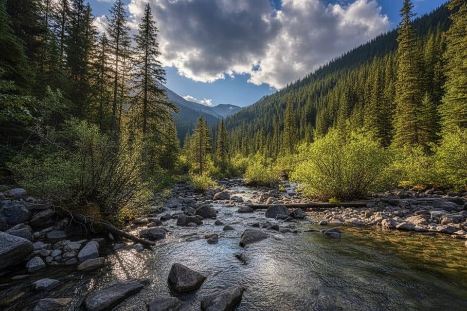 EasySource of the Springs Trail (Miette)1.2 km · 30 min · At the trailheadShort stroll to a steaming spring source and eerie aquacourt ruins
 ChallengingSulphur Skyline8.9 km · 5 hr · 0.1 km awaySteep climb to a 360-degree ridge, then a hot-springs soak belowEasyPocahontas Mine Interpretive Trail0.8 km · 20 min · 12.6 km awayEasy 0.5-mile loop through the historic Pocahontas mine site
 EasyPocahontas Mine Trail1 km · 20 min · 13.1 km awayEasy 900 m paved loop through Jasper’s historic Pocahontas mine site
 EasyJasper House Historic Site Trail0.8 km · 20 min · 14 km awayA quick stroll to a history-rich Athabasca River viewpoint.
 ChallengingRoche Miette12.9 km · 7 hr · 14.3 km awaySteep, exposed Roche Miette summit scramble with big Athabasca valley viewsModerateCelestine Lake Trail13.7 km · 4.5 hr · 18 km awayA quiet old-road walk to Celestine Lake and its backcountry campground.
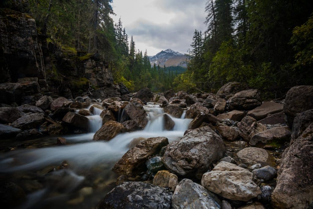 Sight · 0.2 km awayMiette Hot SpringsSoak in the Rockies’ hottest springs with big mountain views
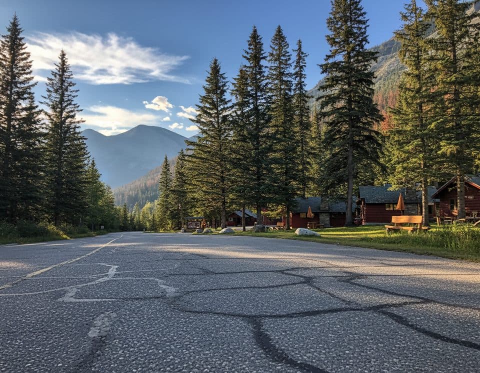 Lodging · 0.4 km awayMiette Hot Springs BungalowsRustic cabins steps from the hot springs with a handy onsite restaurant
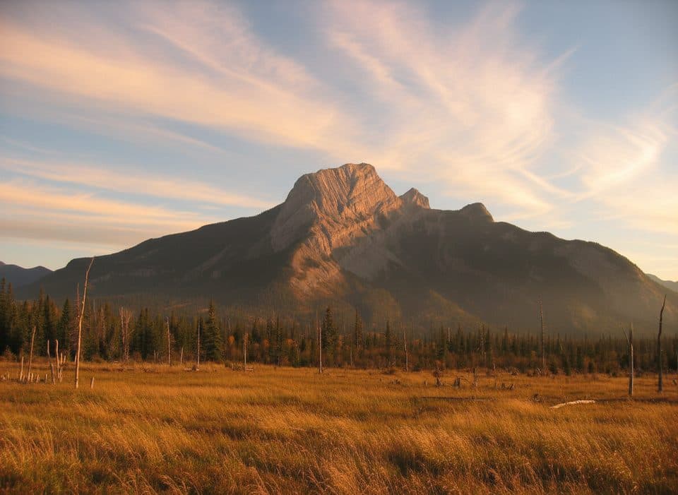 Sight · 9.5 km awayRoche à PerdrixShort, punchy scramble with feathered rock and big Fiddle views
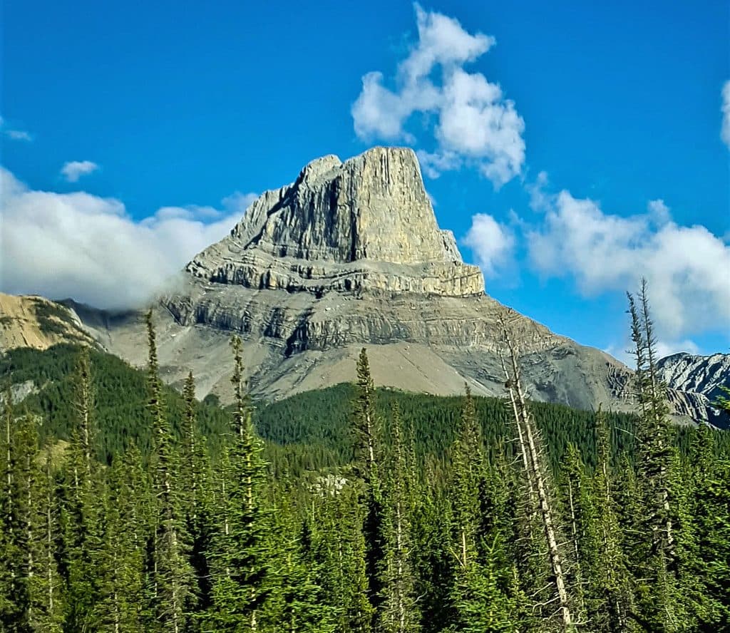 Sight · 10.5 km awayRoche MietteFlat-topped limestone icon with a stout scramble and huge views
 Campground · 11.8 km awayPocahontas CampgroundQuiet, treed campground near Miette Hot Springs with flush toilets
 Sight · 13.8 km awayJasper House National Historic SiteShort walk to a fur-trade viewpoint over the Athabasca
 Sight · 15.3 km awayTalbot LakeClear, shallow lake with dunes, pike fishing, and a quick panorama
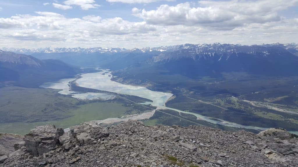 Sight · 15.9 km awayJasper LakeShallow Athabasca River lake with rare sand dunes and big views
Parkwolf’s Jasper ranking
The audio tour guide for the drive, plus offline maps, trails, and wildlife heatmaps for when the signal drops.




