Parking
Raspberry Creek car park at Raspberry Flat, about 54 km from Wānaka; the last 30 km is unsealed.
Mount Aspiring National Park, OT · WC
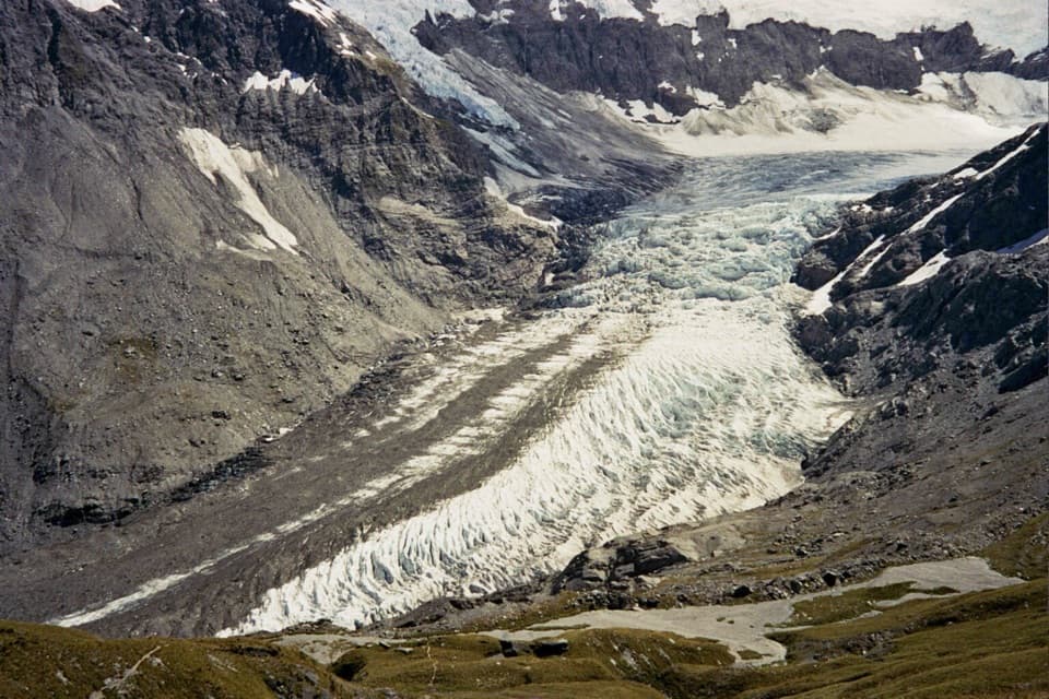
An expert alpine crossing above the Dart Glacier.
Overview
Map & elevation
Plan your hike

The highest, rockiest slopes around here are a summer buffet for grizzly bears.
Mount Aspiring Tour Guide
Parkwolf is a GPS audio tour guide for Mount Aspiring National Park. As you drive, it chimes in with what’s ahead: hidden gems, upcoming stops, history, geology, and wildlife, right through your car’s speakers.
See the Mount Aspiring audio tourRecorded for this area
Raspberry Creek and Rob Roy Glacier“You're approaching Raspberry Creek car park, the start of the Rob Roy Glacier walk. For hanging glacier ice and waterfalls dropping from high cliffs, this is a walk I'd choose.”
Plays on the road 0.2 km from the trailhead in the Parkwolf Mount Aspiring Tour Guide.
More stories near here in the app
“Fantastic app with many points of information… It’s great to just turn on while you’re driving and it gives you an audio tour of the national Park. We love it!!!!”


Trail guide
The first 9 km follows the West Matukituki Track through beech forest to Aspiring Hut. An unbridged stream near the top of the bush can rise quickly after rain. Above the bushline, a marked track gives way to a route indicated by orange poles. It climbs a narrow, steep ridge of snowgrass and tussock, with rocky ledges where you may need your hands. There are steep drops and rock can be slippery, especially when wet.
A steep gully reaches the 1,835 m pylon, where snow can linger for much of the year. Treat the bushline and pylon as decision points: check weather, daylight and your condition before continuing. If visibility or weather worsens, turn back while retreat is straightforward.
From the pylon, orange poles lead down toward Cascade Creek, which must be assessed before crossing because rain or snowmelt can raise it. Easier slopes then reach the vicinity of Cascade Saddle at 1,524 m. Despite its name, the route does not cross the saddle itself from the Matukituki side; it skirts close to it on the Dart side. The route toward Dart and Rees valleys branches left before the saddle.
Follow the poles along the ridge, then cairns down steep, unstable ground to the valley floor and the lateral moraines of Dart Glacier. This traverse stays above 1,500 m and is exposed to weather. Below it, keep to the true left bank of the Dart and ford several side streams before reaching Dart Hut. Their levels can rise with rain or afternoon snowmelt, so be ready to wait. Carry emergency shelter, spare food and a head torch even if you expect to move quickly.
Aspiring Hut and Dart Hut each have 32 bunks and require bookings; water from their taps is untreated and should be boiled. The only suitable campsite on the route is near Cascade Creek, where there is a toilet. Kea often visit that site and may chew tents or take gear. Dogs are not allowed on the route.
The crossing links West Matukituki and Dart valleys, with views of Dart Glacier, Mount Aspiring (Tititea) and the West Matukituki. In 1939, C.E. Smith and A.P. Harper pioneered the Ernie Smith Route toward Tyndall Ridge from Cascade Camp. A metal pylon was added nearly 20 years later to help trampers negotiate bluffs on the ridge. The name describes the crossing’s high point and landscape, but the walking line passes around the actual saddle rather than over it from this side.
Mid- to late summer is the recommended window. Avalanche danger runs from June to November, and snow or ice can make the steep slopes much more dangerous. The route should not be attempted in adverse weather; low visibility makes the poles hard to follow, and slips on the exposed slopes can have fatal consequences. Several streams are unbridged and can become impassable after rain or snowmelt. Be prepared to turn around or wait for safer levels, and carry equipment for an unplanned night out.
Wildlife
 60 sightingsKeaMost seen around 5 PMSighting map
 112 sightingsRockwrenMost seen around 8 AMSighting map
 26 sightingsYellowheadMost seen around 8 AMSighting map
 13 sightingsTūīMost seen around 7 AMSighting map
 27 sightingsBellbirdMost seen around 7 AMSighting map
 35 sightingsRiflemanMost seen around 8 AMSighting map
Sighting maps show where each species has been reported across Mount Aspiring. Wildlife moves, so no sighting is guaranteed.
Keep exploring
 ModerateRob Roy Track10 km · 4.5 hr · At the trailheadA swingbridge, beech forest and glacier views reward the climb.
 ChallengingLiverpool Track30 km · 13 hr · At the trailheadA long, exposed climb to a hut above Matukituki Valley.
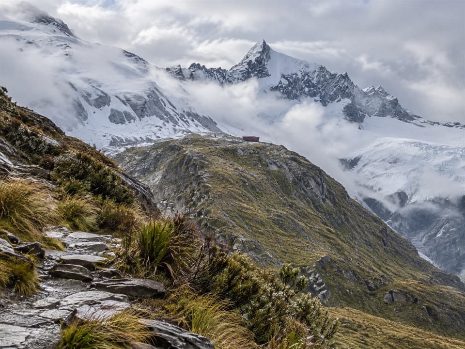 ChallengingFrench Ridge Track32.4 km · 13.5 hr · At the trailheadClimb from grassy valley flats to a hut above the alpine bushline.
 ModerateAspiring Hut Track18 km · 4.5 hr · At the trailheadLong valley flats lead to a hut beneath the Southern Alps.
 ChallengingWest Matukituki Track34.4 km · 11.5 hr · At the trailheadA long out-and-back into the upper West Matukituki Valley.
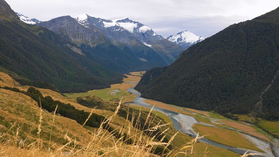 ChallengingShotover Saddle Route16 km · 9 hr · At the trailheadA steep, rough climb to a tarn shelf above the West Matukituki.
 ChallengingKitchener Track to Aspiring Flats30 km · 11 hr · 3.7 km awayA rough, full-day route to a big Kitchener Cirque view
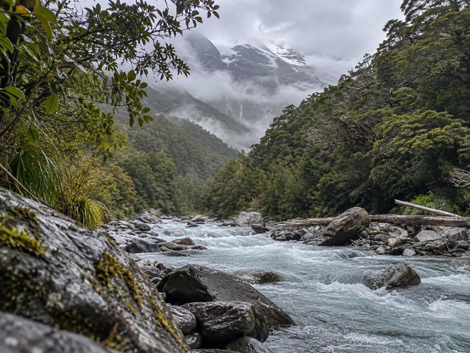 ChallengingGlacier Burn Track (East Matukituki)14 km · 5 hr · 3.7 km awayA long valley tramp to Glacier Burn and an Avalanche Glacier view.
 Sight · 2.1 km awayWishbone FallsA tall branching waterfall breaks up the long valley drive.
 Sight · 3.7 km awayRob Roy GlacierA glacier view worth a long walk and a rough drive.
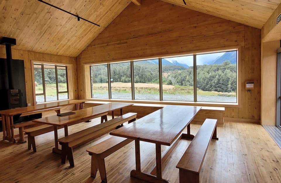 Lodging · 7.5 km awayAspiring HutA historic stone hut reached by a two-hour valley walk.
 Campground · 7.6 km awayAspiring CampsiteBackcountry tent camping beside a historic stone-walled hut.
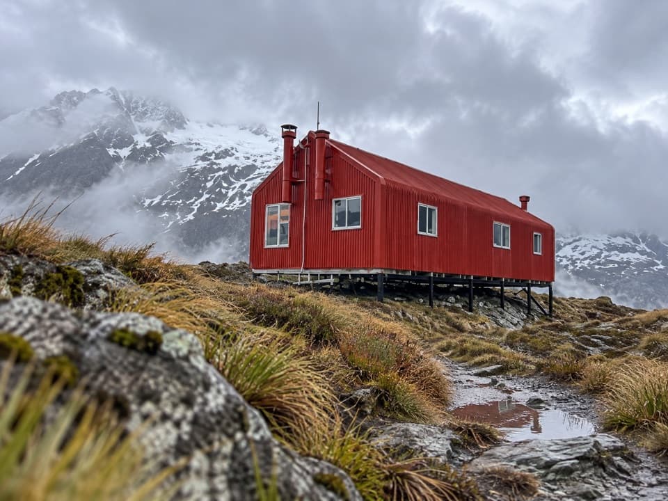 Lodging · 9.8 km awayFrench Ridge HutA high alpine hut for serious Mount Aspiring climbs.
 Lodging · 10.7 km awayLiverpool HutA red alpine hut earned by a steep, exposed climb.
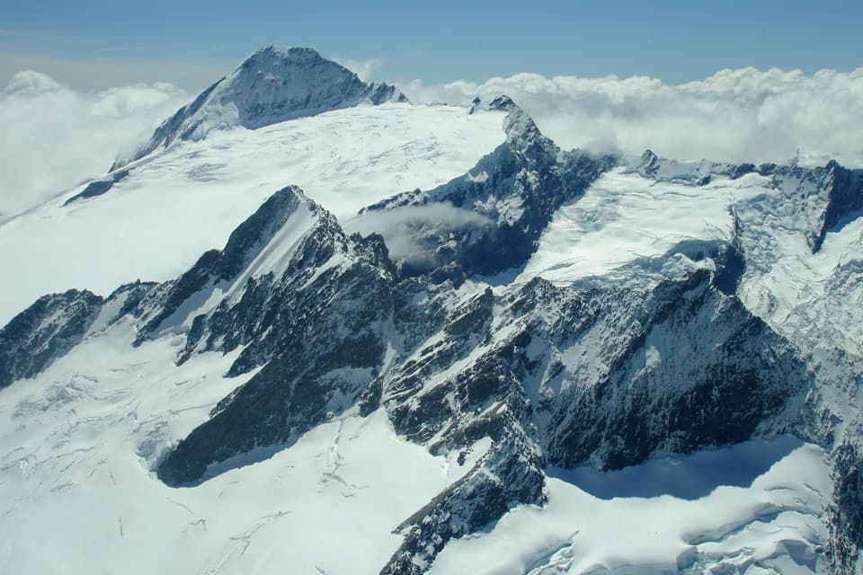 Sight · 14 km awayMount Aspiring / TititeaA 3,033 m horn for mountaineers, not day hikers.
 Lodging · 15 km awayDart HutA remote hut beneath walls from the Dart Glacier's former reach.
Parkwolf’s Mount Aspiring ranking

The audio tour guide for the drive, plus offline maps, trails, and wildlife heatmaps for when the signal drops.




