La Fortaleza Viewpoint in Teide National Park

#8 of 36 sights in Teide

Sight · Teide National Park

La Fortaleza Viewpoint

A rocky perch above Tenerife’s north coast and its cloud sea.

Photo: Wikimedia Commons
Type
Sight
Nearest trail
0.4 km
Audio stories
2 nearby
  • Scenic viewpoint

Hear the audio tour

Teide Cable Car and La Rambleta

Overview

About La Fortaleza Viewpoint

Why stop

  • The red lava foreground makes the wide northern panorama feel close.

Heads up

  • Uneven footing and high altitude can make the short walk tiring.

Map

Where it is

Loading the Teide map
Full map
SightLa Fortaleza Viewpoint28.27422, -16.63918
Keep this map with you offline in the Parkwolf app

Plan your stop

Before you go

3 active Teide alerts

  • CautionControlled foot access to La RambletaMentions La Rambleta, referenced in this guideTenerife ON currently lists provisional surveillance, supervision and control for visitors ascending on foot to La Rambleta, the Teide cable-car upper station.Official details
  • CautionActive wildfire risk and preventive measuresTenerife ON currently lists wildfire risk and preventive wildfire measures; check the live restrictions before visiting Teide National Park.Official details
See all 3 alerts
A park ranger sits on a dash-mounted phone, talking, as Parkwolf’s Tour Guide plays “Army Cutworm Moths: A Grizzly Bear Buffet” on Grand Loop Road below Dunraven Pass in Yellowstone
Parkwolf Tour GuideThe highest, rockiest slopes around here are a summer buffet for grizzly bears.

Teide Tour Guide

Your drive to La Fortaleza Viewpoint, narrated.

Parkwolf is a GPS audio tour guide for Teide National Park. As you drive, it chimes in with what’s ahead: hidden gems, upcoming stops, history, geology, and wildlife, right through your car’s speakers.

Recorded for this place

Teide Cable Car and La Rambleta
0:00 / 0:37
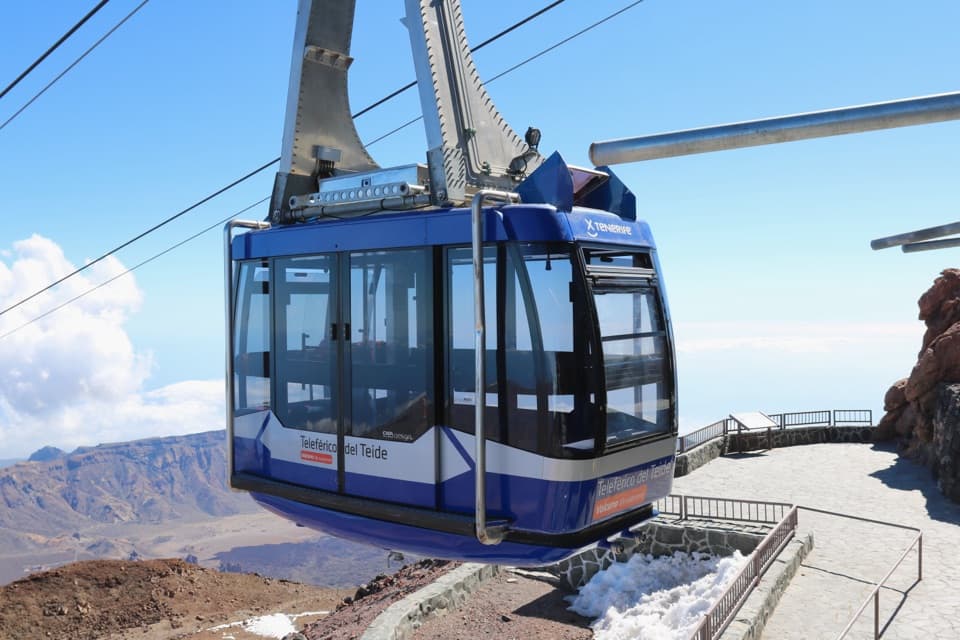
“You're approaching Teide Cable Car, which climbs nearly twelve hundred metres to La Rambleta in under eight minutes. Take it if you want the high volcanic views without the long climb from below.”

Plays as you drive up to La Fortaleza Viewpoint in the Parkwolf Teide Tour Guide.

More stories near here in the app

  • Majúa and the Sanatorio Trail
  • Tabonal Negro Viewpoint
  • Montaña Blanca and the Climb to La Rambleta
  • The Tajinaste’s One Big Bloom
  • 39 audio storiesacross Teide’s roads, triggered by GPS as you drive
  • Wildlife heatmapsfor Short-finned Pilot Whale, Tenerife Lizard, West Canary Skink, and 10 more
  • Works offlinemaps, 62 trails, 49 places, and audio download before you lose signal
  • CarPlay readysimple controls built for the drive
★★★★★
“Fantastic app with many points of information… It’s great to just turn on while you’re driving and it gives you an audio tour of the national Park. We love it!!!!”
JMJamesApp Store review
Download Parkwolf on the App StoreGet Parkwolf on Google Play

4.7 from 8,600+ ratings

Guide

More about La Fortaleza Viewpoint

At the end of PNT-11Mirador de La Fortaleza is a rocky overlook just below Teide’s summit area, around 3,550 m…

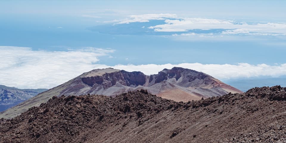
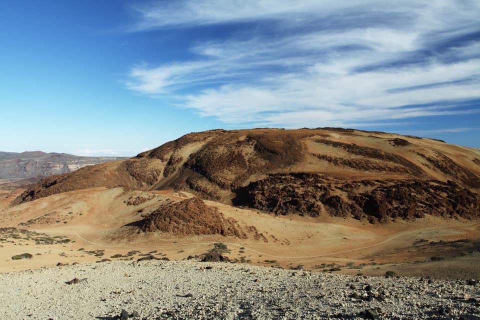
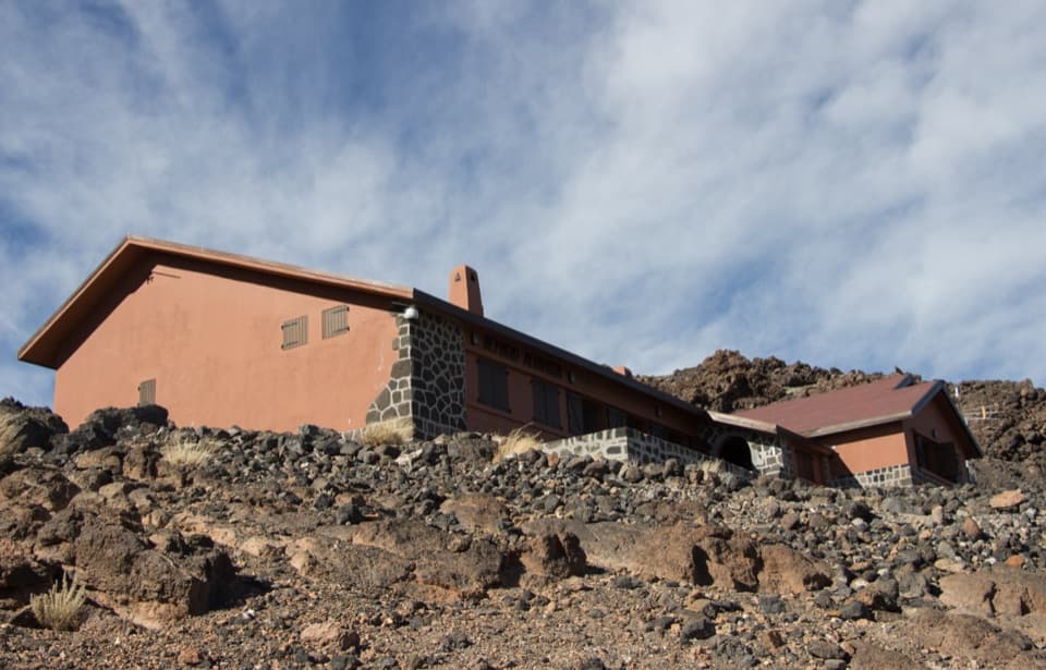
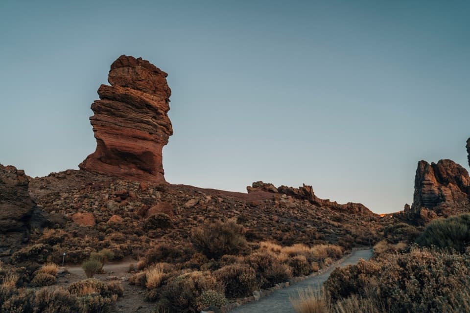
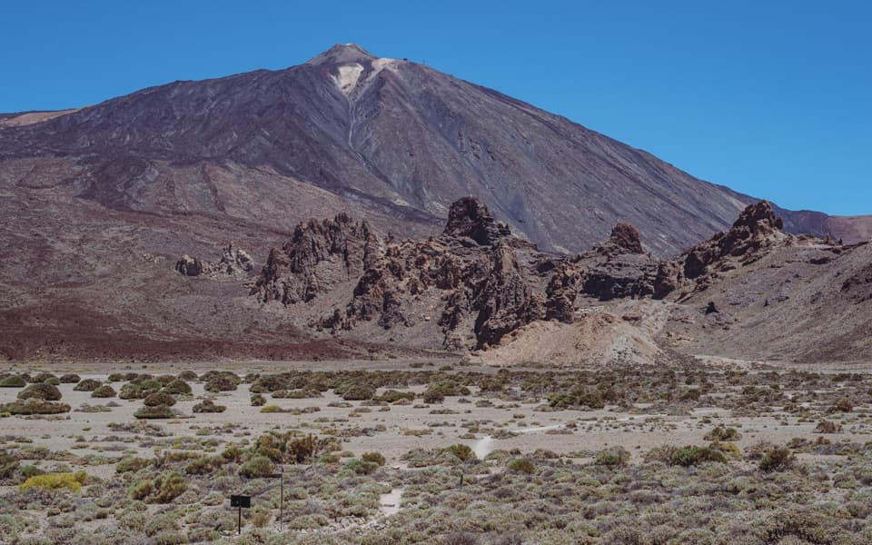
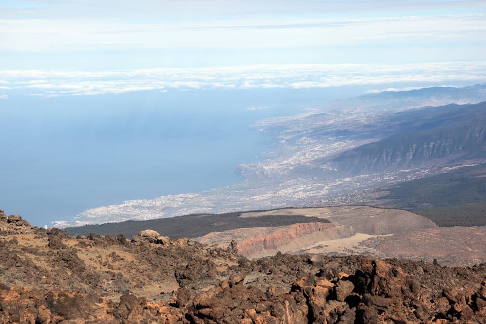
Mirador de La Fortaleza is a rocky overlook just below Teide’s summit area, around 3,550 m above sea level. It faces north across the Orotava and La Guancha-Icod valleys to the Atlantic, with the reddish crags of La Fortaleza anchoring the foreground. If you’re already going up to La Rambleta, this is a distinct stop that makes the high-altitude trip feel like more than a ride to the upper station.

Take the short marked walkFrom La Rambleta, PNT-11 leads to the viewpoint.

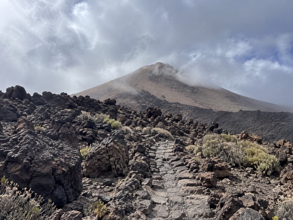
From La Rambleta, PNT-11 leads to the viewpoint. The park lists 426 m; Tenerife On maps the route at 580 m and estimates 45 minutes, while the park visitor page gives 25 minutes. Treat it as a short but uneven walk, not a stroll. At over 3,500 m, the thin air can make it feel harder than the distance suggests. La Rambleta is reached by cable car or by longer hiking routes, and this overlook is separate from Teide’s summit trail. The rocky surface is not suitable for visitors with reduced mobility. Check the high-mountain forecast before heading up; conditions here can differ from those on the coast.

Look north, but check the skyFrom the lookout you can pick out the Orotava and La Guancha-Icod valleys, with Anaga farther…

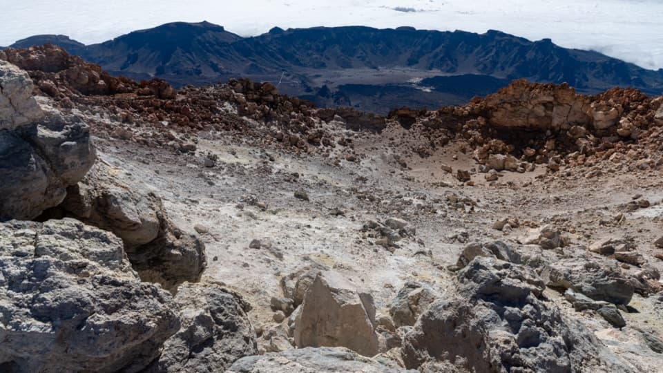
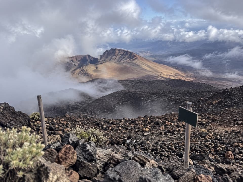
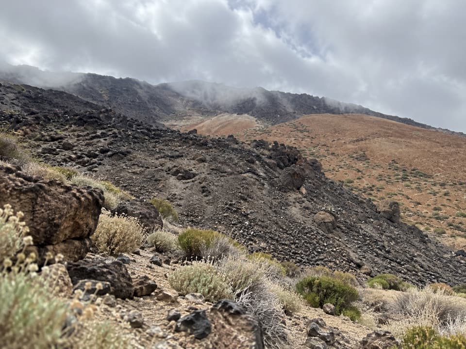
From the lookout you can pick out the Orotava and La Guancha-Icod valleys, with Anaga farther to the right and El Portillo and Izaña nearer. Trade-wind clouds sometimes pool against Tenerife’s north side, leaving a white bank below the drier summit air. Haze, calima or cloud can hide the long view, though the nearby lava formations are still there. For a photo, keep the red volcanic edges in the foreground and aim through the valleys toward the coast; the rocks give the view its scale and character.

Why the rocks are redLa Fortaleza is a mass of phonolitic lava.

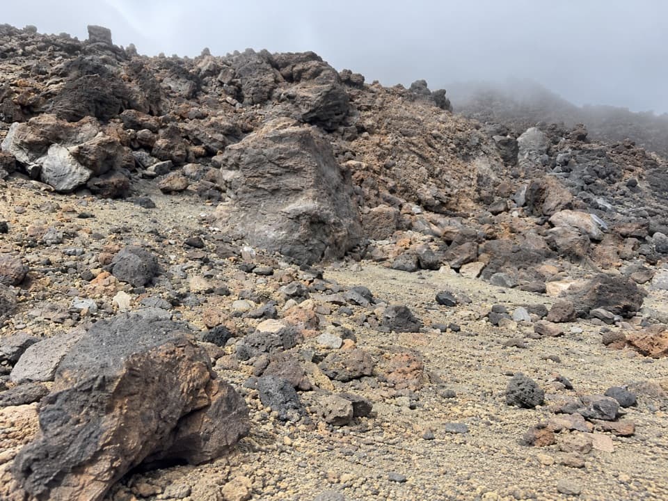
La Fortaleza is a mass of phonolitic lava. The very viscous lava built up after emerging from a volcanic vent, leaving the steep reddish outcrops you see from PNT-11.

Wildlife

Wildlife in Teide

All Teide wildlife maps

Sighting maps show where each species has been reported across Teide. Wildlife moves, so no sighting is guaranteed.

Keep exploring

Near La Fortaleza Viewpoint

See it all on the map

Trails nearby

More stops nearby

Parkwolf’s Teide ranking

Top sights in Teide

All 49 places
  1. 1Teide Summit and CraterSight
  2. 2Roques de GarcíaSight
  3. 3Teide Cable CarSight
  4. 4Minas de San JoséSight
  5. 5Llano de Ucanca 1 ViewpointSight
  6. 6Pico Viejo ViewpointSight

Take Parkwolf to Teide.

The audio tour guide for the drive, plus offline maps, trails, and wildlife heatmaps for when the signal drops.

4.7 from 8,600+ ratings

Download Parkwolf on the App StoreGet Parkwolf on Google Play