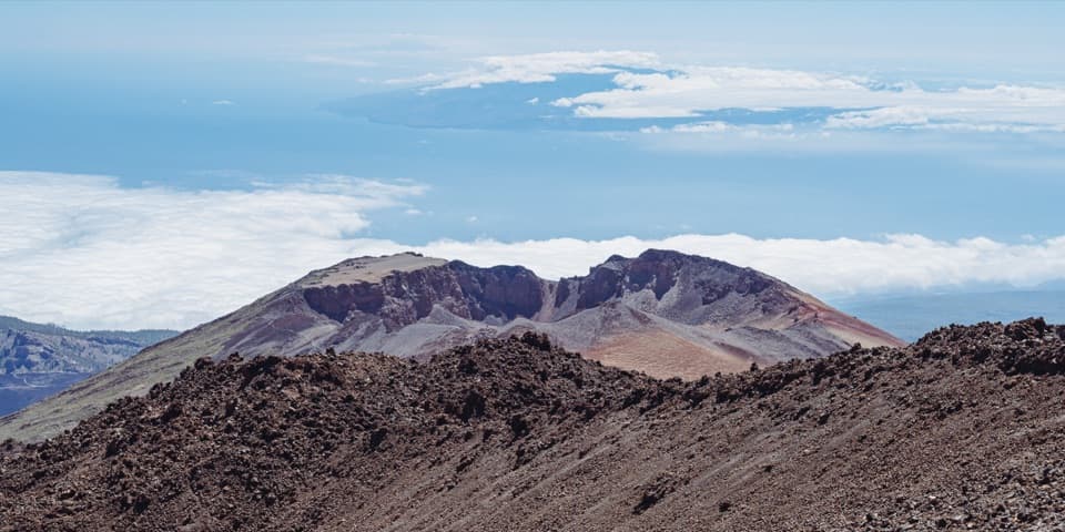
PNT 09: Teide - Pico Viejo - Las Narices del Teide in Teide National Park

#9 of 62 trails in Teide

Teide National Park, TF

PNT 09: Teide - Pico Viejo - Las Narices del Teide

A crater-side traverse on lava, with a 1,600 m descent.

Photo: Wikimedia Commons
Length
9.6km
Time
8hr
Elev. change
1,449m
Difficulty
Challenging
  • No dogs
  • High point 3,499 m

Hear the audio tour

Teide Cable Car and La Rambleta

Overview

About PNT 09: Teide - Pico Viejo - Las Narices del Teide

Why go

  • A close traverse beneath Pico Viejo’s 800 m crater rim.
  • Aligned 1798 eruption vents and Teide’s broken lava fields.

Heads up

  • Loose, indistinct footing on the black-lava section.
  • A one-way finish with a separate walk-in and pickup logistics.

Map & elevation

The route

Loading the Teide map
Full map
Elevation2,050–3,499 m
TrailheadMirador de Pico Viejo28.26983, -16.64498
Keep this map with you offline in the Parkwolf app

Plan your hike

Before you go

Parking

The PNT-09 start at Mirador de Pico Viejo is reached on foot from La Rambleta via PNT-12; that approach is extra. The TF-38 finish has limited parking and no nearby services, so arrange a pickup ahead of time. Visitors have repeatedly reported thefts from parked cars at the roadside viewpoint; keep valuables out of sight.


Safety

High-mountain terrain near 3,500 m, steep loose lava, and a 1,605 m descent create real altitude and fall risks. Advance authorization and required equipment are mandatory; snow or ice requires crampons and an ice axe. No pets except guide dogs.

3 active Teide alerts

  • CautionControlled foot access to La RambletaMentions La Rambleta, referenced in this guideTenerife ON currently lists provisional surveillance, supervision and control for visitors ascending on foot to La Rambleta, the Teide cable-car upper station.Official details
  • CautionActive wildfire risk and preventive measuresTenerife ON currently lists wildfire risk and preventive wildfire measures; check the live restrictions before visiting Teide National Park.Official details
See all 3 alerts
A park ranger sits on a dash-mounted phone, talking, as Parkwolf’s Tour Guide plays “Army Cutworm Moths: A Grizzly Bear Buffet” on Grand Loop Road below Dunraven Pass in Yellowstone
Parkwolf Tour GuideThe highest, rockiest slopes around here are a summer buffet for grizzly bears.

Teide Tour Guide

Your drive to PNT 09: Teide - Pico Viejo - Las Narices del Teide, narrated.

Parkwolf is a GPS audio tour guide for Teide National Park. As you drive, it chimes in with what’s ahead: hidden gems, upcoming stops, history, geology, and wildlife, right through your car’s speakers.

Recorded for this trailhead

Teide Cable Car and La Rambleta
0:00 / 0:37
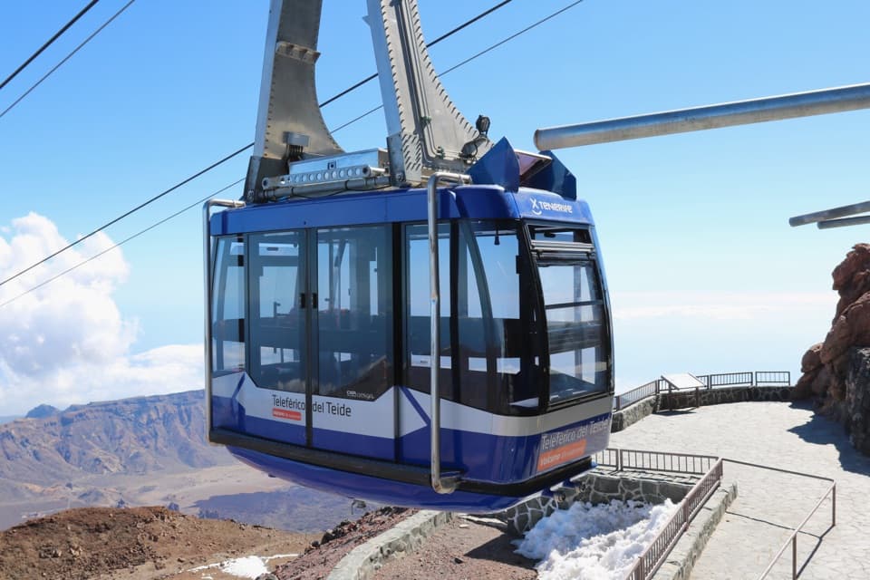
“You're approaching Teide Cable Car, which climbs nearly twelve hundred metres to La Rambleta in under eight minutes. Take it if you want the high volcanic views without the long climb from below.”

Plays as you drive up to this trailhead in the Parkwolf Teide Tour Guide.

More stories near here in the app

  • Majúa and the Sanatorio Trail
  • Tabonal Negro Viewpoint
  • The Tajinaste’s One Big Bloom
  • Montaña Blanca and the Climb to La Rambleta
  • 39 audio storiesacross Teide’s roads, triggered by GPS as you drive
  • Wildlife heatmapsfor Short-finned Pilot Whale, Tenerife Lizard, West Canary Skink, and 10 more
  • Works offlinemaps, 62 trails, 49 places, and audio download before you lose signal
  • CarPlay readysimple controls built for the drive
★★★★★
“Fantastic app with many points of information… It’s great to just turn on while you’re driving and it gives you an audio tour of the national Park. We love it!!!!”
JMJamesApp Store review
Download Parkwolf on the App StoreGet Parkwolf on Google Play

4.7 from 8,600+ ratings

Trail guide

Hiking PNT 09: Teide - Pico Viejo - Las Narices del Teide

Is this the right hike?PNT-09 is a 9.

PNT-09 is a 9.6 km (about 6 mi) one-way traverse from Mirador de Pico Viejo to the TF-38 roadside viewpoint at Las Narices del Teide. The marked route starts near 3,499 m and reaches a low point around 2,050 m, with about 192 m of climbing and 1,605 m of total descent. It links the enormous Pico Viejo crater, broken lava, pumice slopes, and the aligned 1798 eruption vents. This is a hard, full-day mountain route for hikers comfortable with altitude, rough footing, and one-way logistics. Allow about 6 to 8 hours for PNT-09 itself. The 9.6 km does not include the foot approach from La Rambleta along PNT-12 to Mirador de Pico Viejo.

Get to the start and plan the finishMirador de Pico Viejo has no road access: walk in from La Rambleta via PNT-12, and add that…

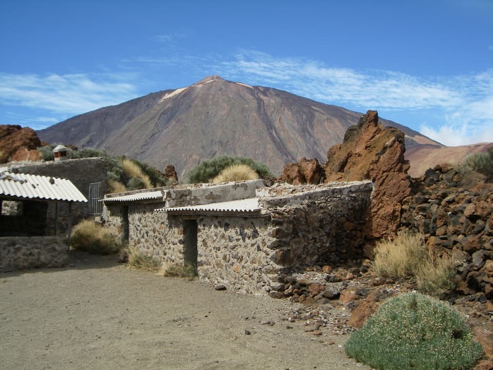
Mirador de Pico Viejo has no road access: walk in from La Rambleta via PNT-12, and add that distance and time to your day. Advance authorization is required for PNT-09. Carry the reservation on paper or your phone, plus ID, for inspection. The route ends at TF-38, where parking is limited and there are no nearby services, so arrange a pickup or other return transport before you start. The booking allows either direction; reversing the line turns the big descent into a long, steep climb.

Across the dark lavaFrom the information panel, the path winds down toward Pico Viejo across black lava.

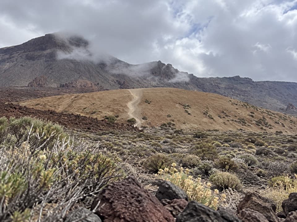
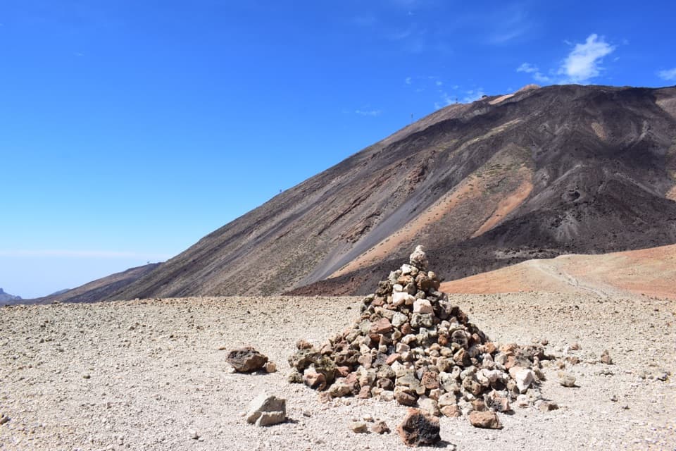
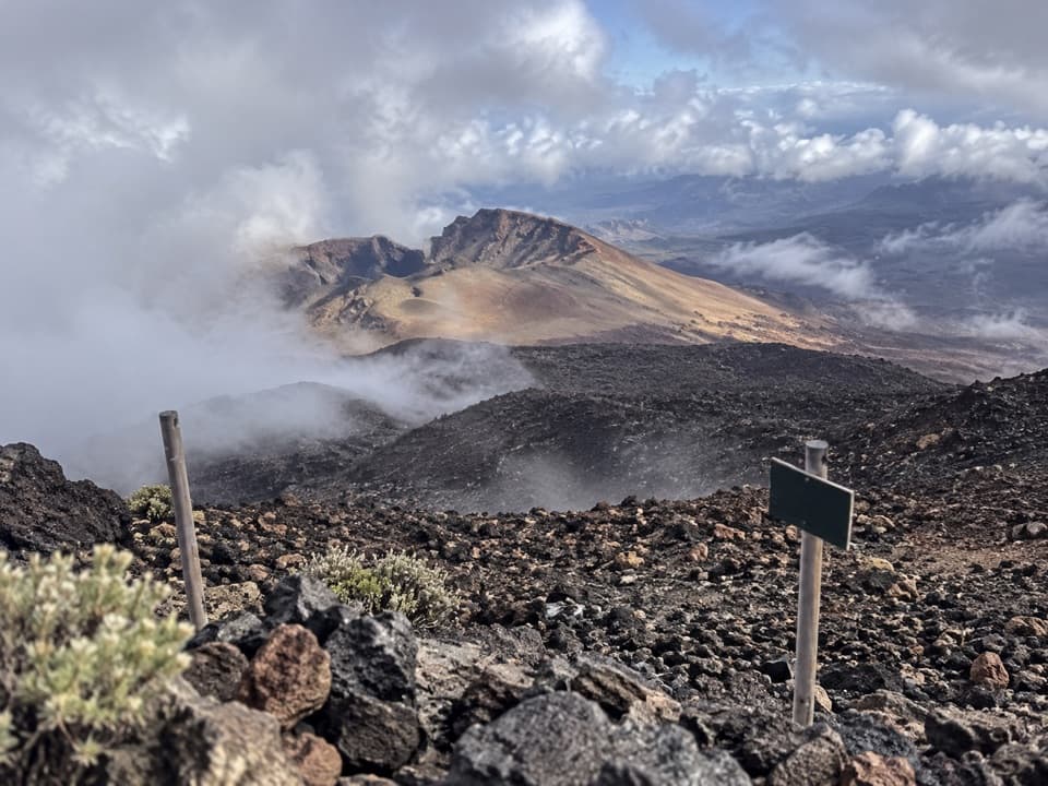
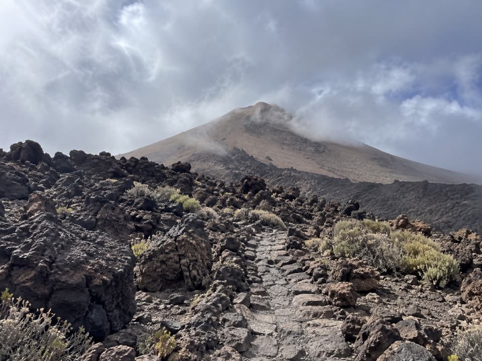
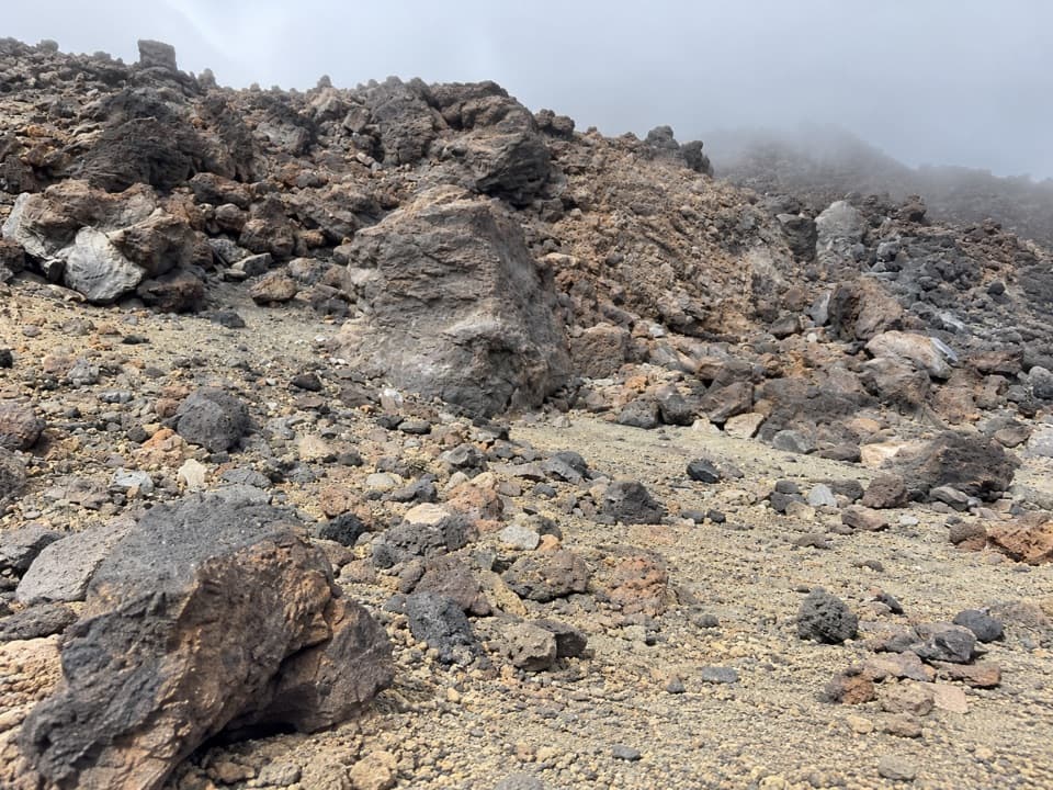
From the information panel, the path winds down toward Pico Viejo across black lava. This is the hardest stretch, continuing to Degollada de Chahorra. The route can be hard to distinguish against the rock, and the footing is uneven and loose. Follow the dark-green PNT-09 markers rather than choosing a smoother-looking line across the slope.

Beneath Pico ViejoAt Degollada de Chahorra, the surface changes to pumice.

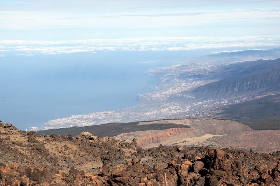
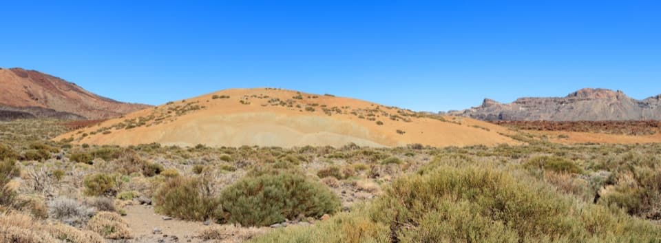
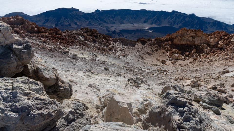
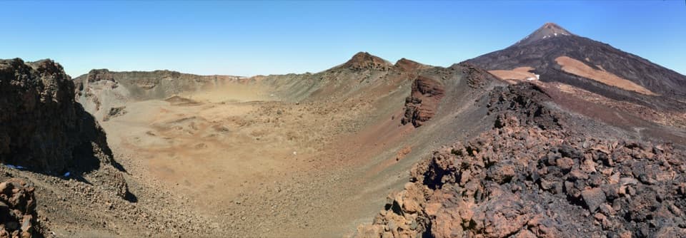
At Degollada de Chahorra, the surface changes to pumice. The trail curves below the south rim of Pico Viejo, around 3,100 m up, with the crater opening beside you. Its bowl is roughly 800 m across, so give yourself time to take in the scale. For a photo, keep a strip of the dark lava ridges in the foreground; it makes the crater’s size easier to read than a tight shot of the rim.

The 1798 ventsThe route drops quickly to Las Narices del Teide, a line of volcanic craters from the 1798…

The route drops quickly to Las Narices del Teide, a line of volcanic craters from the 1798 eruption, the last eruption inside the national park. After the vents, keep going toward Lomo de Chío and the road. The Narices viewpoint beside TF-38 is a roadside destination as well as the trail’s finish; do not confuse a visit to that viewpoint with hiking the full traverse.

Effort, gear, and altitudeMost of the elevation change is downhill, but this is not an easy walk: the long, rough descent…

Most of the elevation change is downhill, but this is not an easy walk: the long, rough descent wears on legs and balance, and the start is close to 3,500 m, where thin air can bring on dizziness or unusual fatigue. The high-mountain route requires suitable boots, long trousers, a warm layer, thermal blanket, hat and gloves, water, a charged phone, and a torch. Crampons and an ice axe are required if snow or ice is present. The route is unsuitable for people with heart, respiratory, or mobility problems. No pets are allowed except guide dogs; children under 3 cannot use the route, and anyone under 16 must be with an adult.

Wildlife

Wildlife in Teide

All Teide wildlife maps

Sighting maps show where each species has been reported across Teide. Wildlife moves, so no sighting is guaranteed.

Keep exploring

Near PNT 09: Teide - Pico Viejo - Las Narices del Teide

See it all on the map

Trails that start nearby

Places near the trailhead

Parkwolf’s Teide ranking

Top-rated trails in Teide

All 62 trails
  1. 1Telesforo Bravo Trail (PNT 10)Challenging · 1.4 km
  2. 2PNT 03 Roques de García LoopModerate · 3.5 km
  3. 3Alto de Guajara Summit LoopChallenging · 11.1 km
  4. 4Mirador de Pico Viejo Trail (PNT 12)Moderate · 1.5 km
  5. 5PNT 07 Montaña Blanca–La Rambleta TrailChallenging · 8.3 km
  6. 6Sámara Loop TrailModerate · 4.6 km

Take Parkwolf to Teide.

The audio tour guide for the drive, plus offline maps, trails, and wildlife heatmaps for when the signal drops.

4.7 from 8,600+ ratings

Download Parkwolf on the App StoreGet Parkwolf on Google Play