Parking
PNT 33 runs from the PNT 01 La Fortaleza junction to the PNT 22 Lomo Hurtado junction. The route information does not confirm parking at either junction; arrange an onward ride or an added return route.
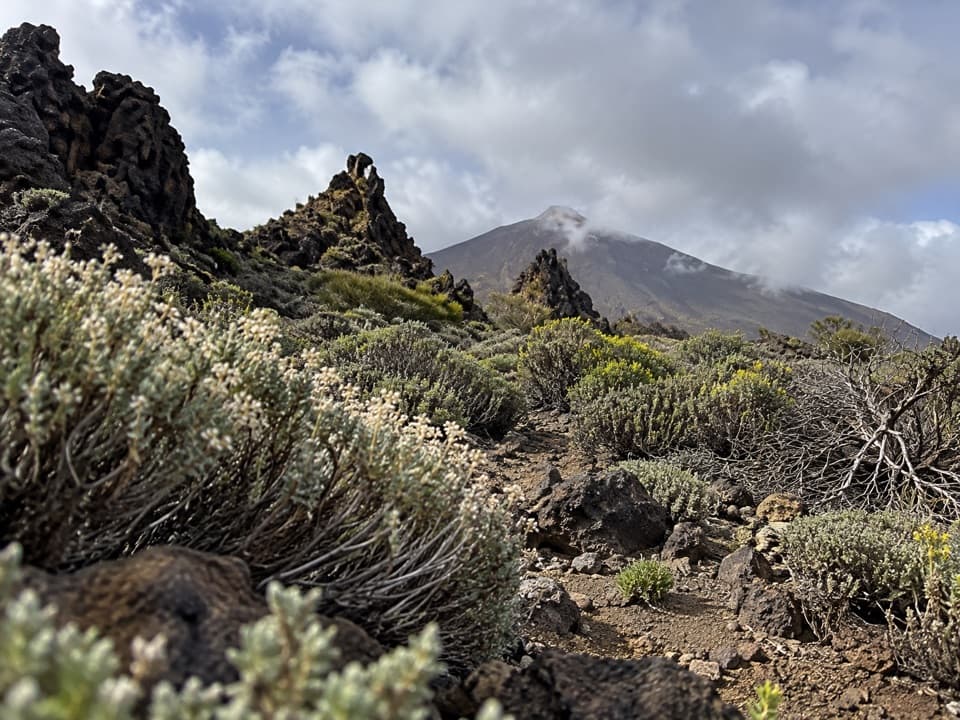
Teide National Park, TF
A historic highland link past a brown-grey volcanic cone.
Overview
Map & elevation
Plan your hike

The highest, rockiest slopes around here are a summer buffet for grizzly bears.
Teide Tour Guide
Parkwolf is a GPS audio tour guide for Teide National Park. As you drive, it chimes in with what’s ahead: hidden gems, upcoming stops, history, geology, and wildlife, right through your car’s speakers.
More stories near here in the app
“Fantastic app with many points of information… It’s great to just turn on while you’re driving and it gives you an audio tour of the national Park. We love it!!!!”


Trail guide
PNT 33 Montaña Negra is a 3.17 km (1.97 mile) one-way trail between PNT 01 La Fortaleza and PNT 22 Lomo Hurtado. It skirts the brown-grey volcanic cone below Teide’s steep slopes. Allow about an hour and a half; the trail is officially rated low difficulty, with roughly 204 m of climbing and 92 m of descent. It is a useful link if you’re connecting the two numbered routes, but it won’t bring you back to your starting point.
This is the upper stretch of an old footpath that once carried walkers up from La Guancha, San Juan de La Rambla and Icod el Alto. Dense broom covers the higher section, then gives way to Canary Island pine on the lower stretch. The pines are still recovering from the 2007 fire. The cone’s name means “Black Mountain,” though its exposed material looks brownish-grey because it has oxidized.
The path is not accessible to people with reduced mobility. Expect loose rock, uneven ground and steep slopes, and stay on the marked route. The official route page says access is free and no reservation is required. Plan your onward transport or return route before starting; PNT 33 is a point-to-point walk, not a loop.
Wildlife
 15 sightingsShort-finned Pilot WhaleMost seen around 9 AMSighting map
 829 sightingsTenerife LizardMost seen around 11 AMSighting map
 11 sightingsWest Canary SkinkMost seen around 11 AMSighting map
 98 sightingsTenerife Blue ChaffinchMost seen around 8 AMSighting map
 45 sightingsKestrelMost seen around 10 AMSighting map
 10 sightingsBarbary PartridgeMost seen around 7 AMSighting map
Sighting maps show where each species has been reported across Teide. Wildlife moves, so no sighting is guaranteed.
Keep exploring
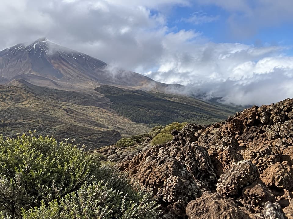 EasyPNT 36 Alto de La Fortaleza Loop Trail2.2 km · 1.3 hr · 1.3 km awayA short loop skirting the rim above Cañada de Los Guancheros.
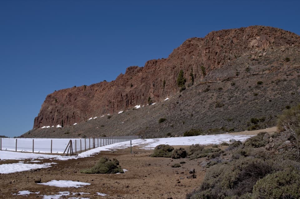 EasyPNT 29 Degollada del Cedro1.9 km · 1 hr · 1.4 km awayA short pass walk linking the caldera to Tigaiga
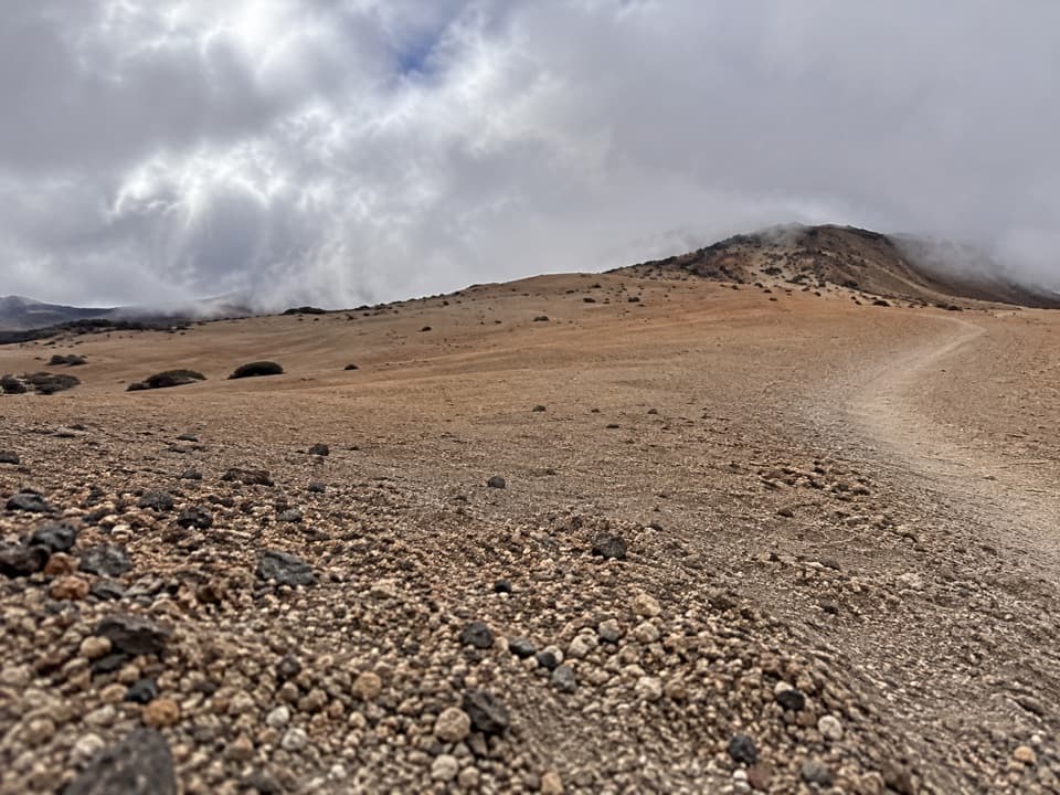 ModeratePNT 22 Lomo Hurtado Trail5 km · 2.3 hr · 1.7 km awayClimb 3.1 miles over pumice toward Montaña Blanca.
 ModeratePNT 25 Recibo Quemado1.8 km · 1.4 hr · 2.8 km awayPine forest gives way to Teide and La Fortaleza views.
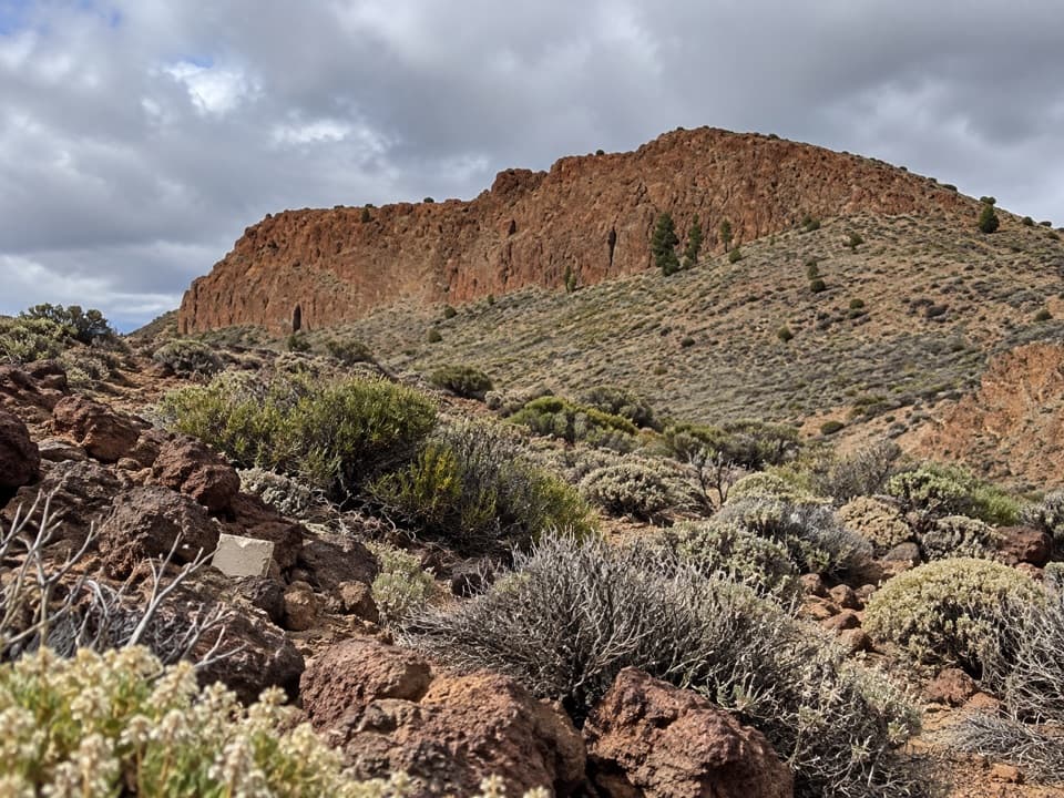 ModeratePNT 06 Montaña de los Tomillos5.1 km · 2.5 hr · 3.3 km awayAn old Teide ascent across pumice to a dark volcanic cone.
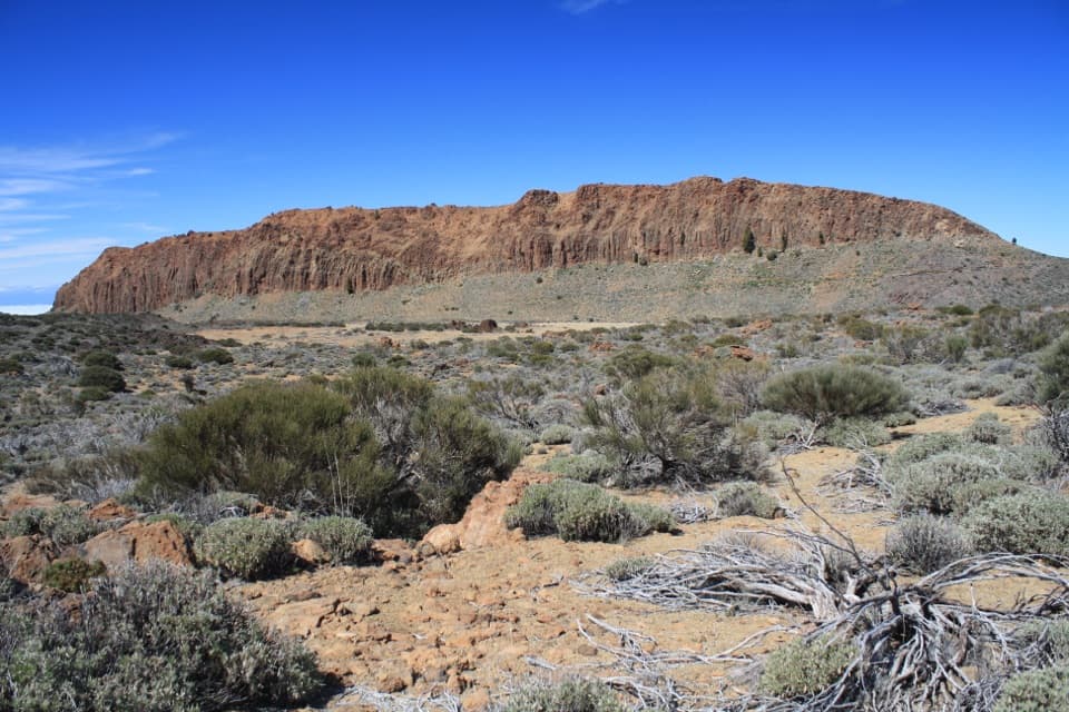 EasyPNT 01 La Fortaleza Trail5.5 km · 2.3 hr · 3.9 km awayA high-altitude one-way walk to La Fortaleza’s rust-red wall.
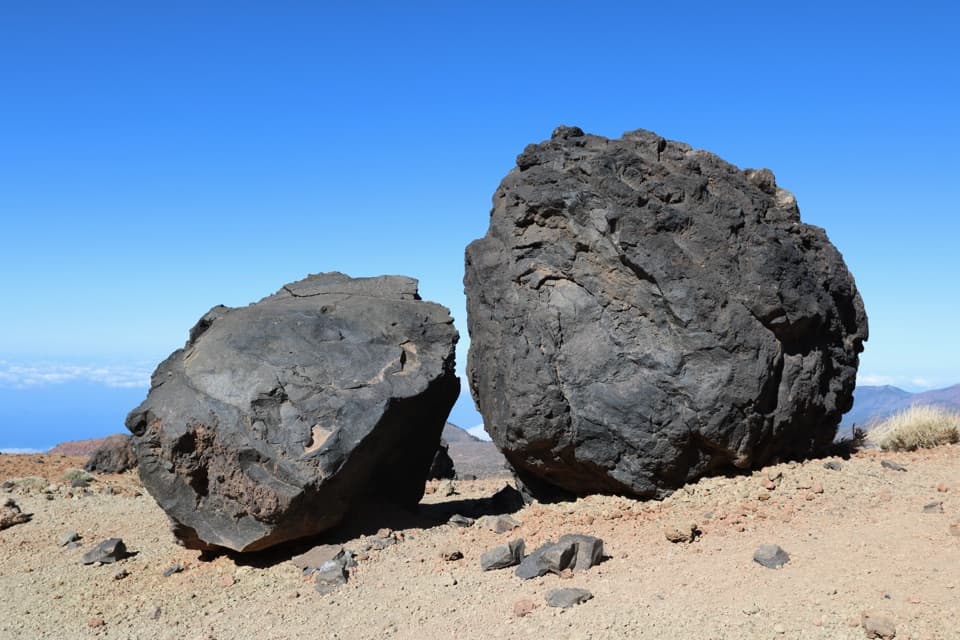 ChallengingHuevos del Teide and Montaña Blanca Loop20 km · 6.5 hr · 3.9 km awayA high volcanic loop passes Montaña Blanca’s black lava eggs.
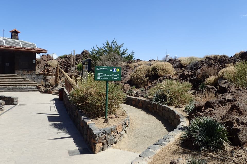 EasyEl Portillo–Mirador del Teide Accessible Trail0.6 km · 25 min · 4 km awayA short accessible walk ends at a view of Teide's east face.
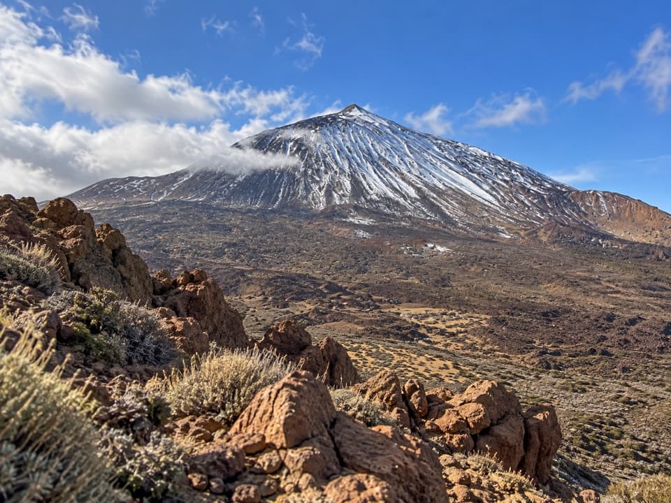 Sight · 0.3 km awayAlto de La Fortaleza ViewpointA low-key rocky balcony facing Teide’s north side.
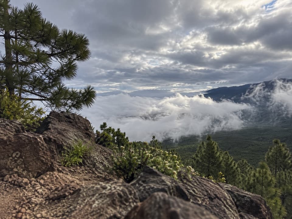 Sight · 2 km awayEl Cabezón ViewpointA high ridge looks out across the Orotava Valley.
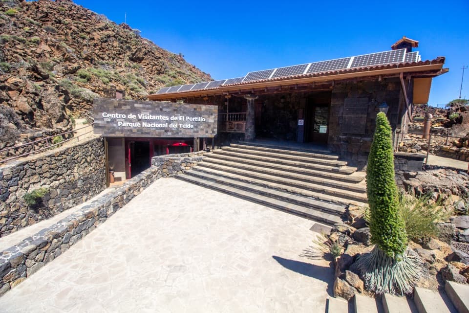 Visitor center · 3.9 km awayEl Portillo Visitor CenterA volcanic-tunnel reconstruction makes Teide’s origins easier to picture.
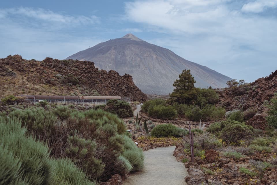 Sight · 4 km awayEl Portillo Botanical GardenSee Teide’s hard-to-find high-mountain plants in one stop.
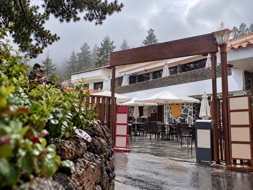 Restaurant · 4.1 km awayRestaurante El PortilloA high-road stop for Canarian goat and rabbit with salmorejo.
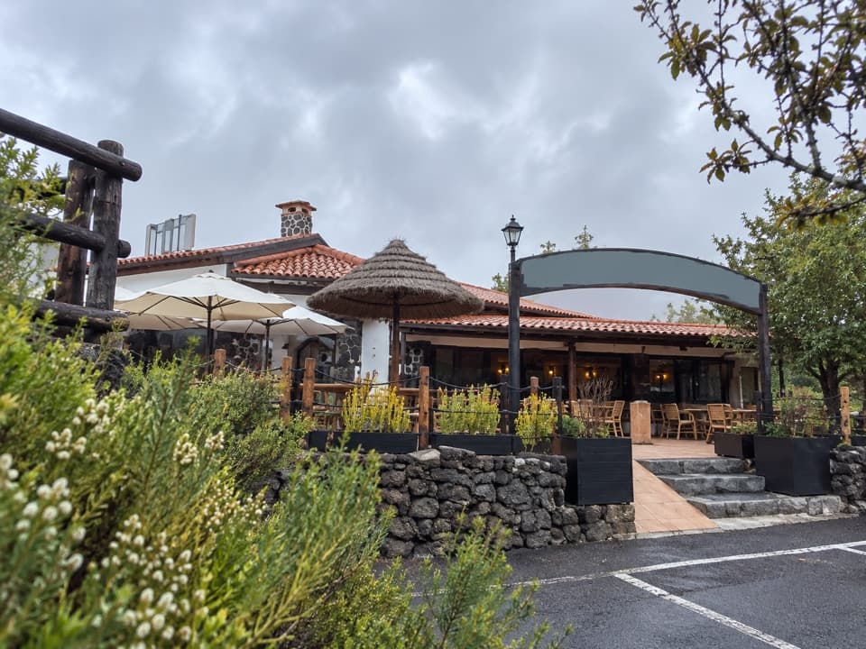 Restaurant · 4.5 km awayRestaurante PapillonA meal on the terrace comes with Teide views on clear days.
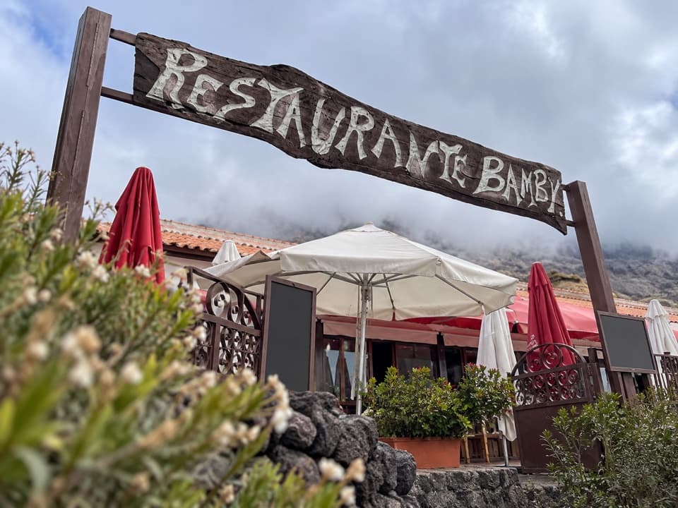 Restaurant · 4.5 km awayRestaurante 7 CañadasA terrace meal stop with views toward Teide.Sight · 4.5 km awayHuevos del TeideRounded lava boulders reward a careful look along Teide’s high trail.
Parkwolf’s Teide ranking

The audio tour guide for the drive, plus offline maps, trails, and wildlife heatmaps for when the signal drops.





