PNT 06 Montaña de los Tomillos in Teide National Park

Teide National Park, TF

PNT 06 Montaña de los Tomillos

An old Teide ascent across pumice to a dark volcanic cone.

Length
5.1km
Time
2.5hr
Elev. change
478m
Difficulty
Moderate
  • No dogs
  • High point 2,531 m
  • #26 of 62 in Teide

Hear the audio tour

El Portillo Visitor Centre and Garden

Overview

About PNT 06 Montaña de los Tomillos

Why go

  • An old Teide route through pale pumice and volcanic rock
  • Teide violet grows near the sparse high-country finish

Heads up

  • Steady climb to 2,532 m with a steeper finish
  • Remote trail junctions make the return plan part of the hike

Map & elevation

The route

Loading the Teide map
Full map
Elevation2,053–2,531 m
TrailheadPNT 01 junction near Roque del Peral28.30365, -16.57411
Keep this map with you offline in the Parkwolf app

Plan your hike

Before you go

Parking

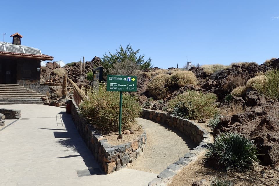
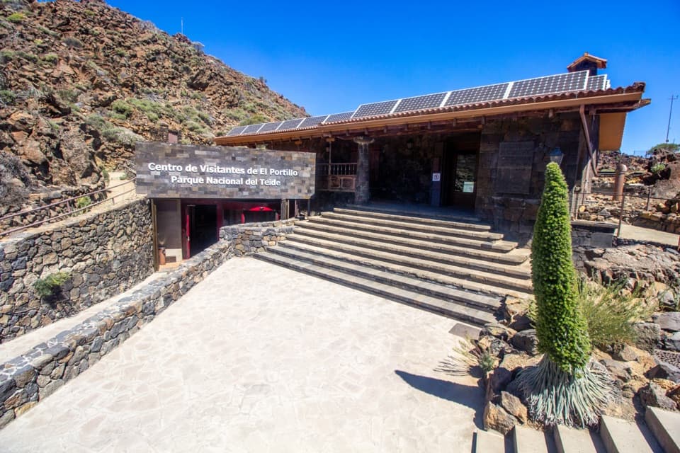
Use the El Portillo Visitor Centre access on TF-21, then walk PNT 01 for about 20 minutes to the PNT 06 junction near Roque del Peral. The Montaña Blanca end is another trail junction, not a road pickup point; plan a return or continuation along PNT 07.


Safety

High-altitude climb on loose pumice and gravel; the upper stretch is windy and steepens near Montaña Blanca.

3 active Teide alerts

  • CautionActive wildfire risk and preventive measuresTenerife ON currently lists wildfire risk and preventive wildfire measures; check the live restrictions before visiting Teide National Park.Official details
  • CautionNo smoking in Teide National ParkSmoking is prohibited throughout Teide National Park as a preventive measure against forest fires.Official details
See all 3 alerts
A park ranger sits on a dash-mounted phone, talking, as Parkwolf’s Tour Guide plays “Army Cutworm Moths: A Grizzly Bear Buffet” on Grand Loop Road below Dunraven Pass in Yellowstone
Parkwolf Tour GuideThe highest, rockiest slopes around here are a summer buffet for grizzly bears.

Teide Tour Guide

Your drive to PNT 06 Montaña de los Tomillos, narrated.

Parkwolf is a GPS audio tour guide for Teide National Park. As you drive, it chimes in with what’s ahead: hidden gems, upcoming stops, history, geology, and wildlife, right through your car’s speakers.

Recorded for this area

El Portillo Visitor Centre and Garden
0:00 / 0:35
“El Portillo Visitor Centre is ahead, with a recreated volcanic tunnel inside and a botanical garden next door. Stop if you'd like a closer look at the plants living in this high country without taking on a long hike.”

Plays on the road 0.8 km from the trailhead in the Parkwolf Teide Tour Guide.

More stories near here in the app

  • Smyth’s Mountain Experiment
  • Portillo Alto and Arenas Negras Viewpoint
  • Alto de Guamaso and Los Tagorores
  • Honey from the High Country
  • 39 audio storiesacross Teide’s roads, triggered by GPS as you drive
  • Wildlife heatmapsfor Short-finned Pilot Whale, Tenerife Lizard, West Canary Skink, and 10 more
  • Works offlinemaps, 62 trails, 49 places, and audio download before you lose signal
  • CarPlay readysimple controls built for the drive
★★★★★
“Fantastic app with many points of information… It’s great to just turn on while you’re driving and it gives you an audio tour of the national Park. We love it!!!!”
JMJamesApp Store review
Download Parkwolf on the App StoreGet Parkwolf on Google Play

4.7 from 8,600+ ratings

Trail guide

Hiking PNT 06 Montaña de los Tomillos

A one-way climb to Montaña BlancaPNT 06 is a 3.

PNT 06 is a 3.18-mile linear trail from its junction with PNT 01 near Roque del Peral to the PNT 07 junction at Montaña Blanca. Allow about 2½ hours for the trail itself and expect a steady climb of roughly 1,600 feet to 2,532 m. It is marked medium, but this is a high-country hike, not a casual stroll. Both ends are reached on foot from other trails, so sort out your return or connection before setting off; retracing the line means hiking it back uphill or downhill in the opposite direction.

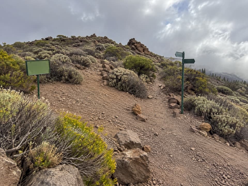
Getting to the actual startThe PNT 06 fork is about 20 minutes on foot from El Portillo Visitor Centre along PNT 01.

The PNT 06 fork is about 20 minutes on foot from El Portillo Visitor Centre along PNT 01. That approach is not included in the PNT 06 distance above. From the other side, the route connects with PNT 07; the junction is not a road-accessible pickup point. The route is free and does not require a reservation.

A steady walk over pumiceAfter leaving PNT 01, the trail climbs almost continuously toward Montaña Blanca.

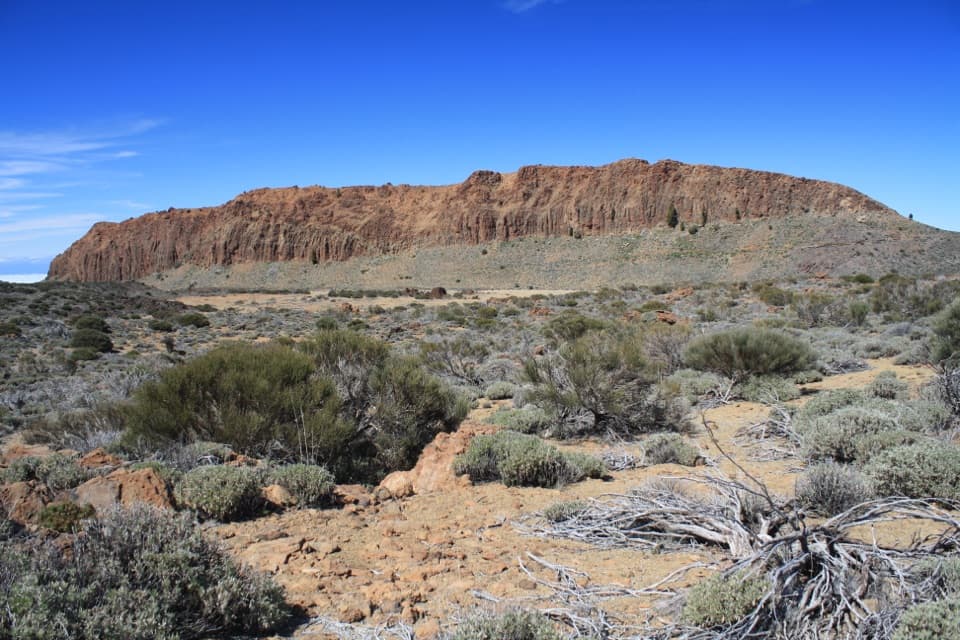
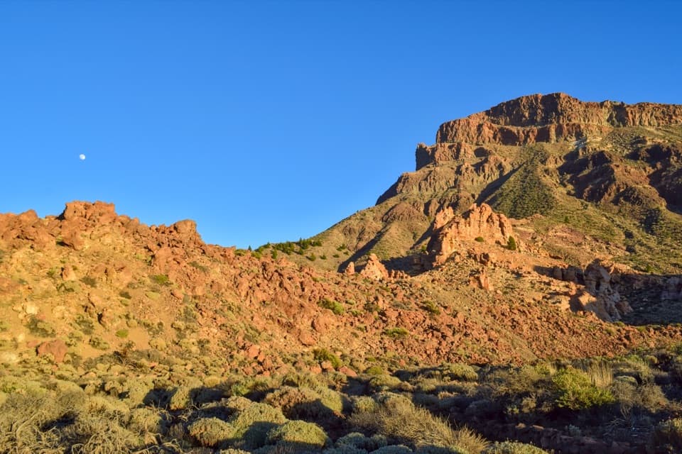
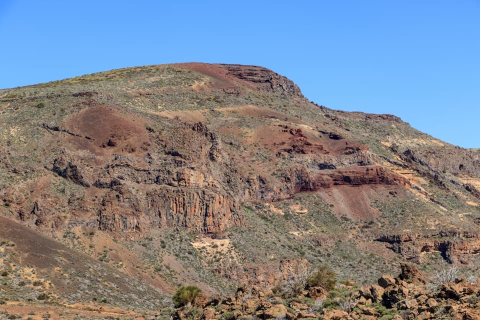
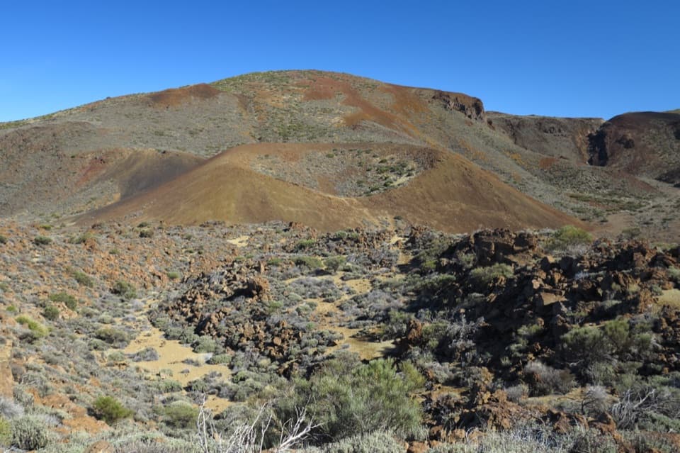
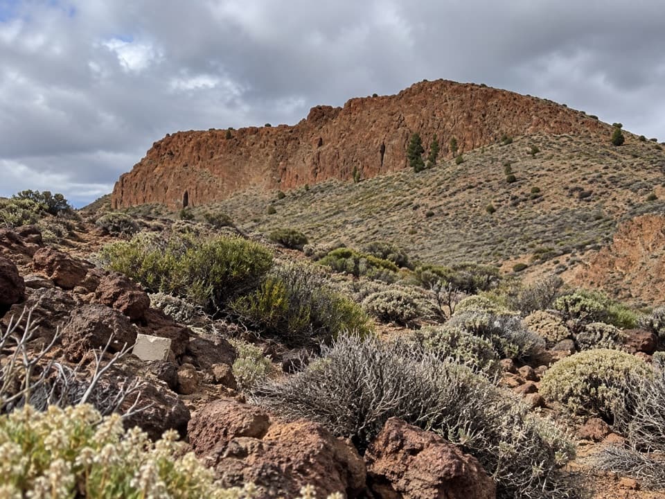
After leaving PNT 01, the trail climbs almost continuously toward Montaña Blanca. The volcanic pumice makes the ground pale and rough, with gravel underfoot. Montaña de los Tomillos, the dark volcanic cone in the middle stretch, stands out sharply against the lighter slopes. The route gets steeper as it reaches the Montaña Blanca track, so save a little energy for the finish.

An old way up TeideThis is an old ascent path used by Teide's early explorers and by people who collected sulphur…

This is an old ascent path used by Teide's early explorers and by people who collected sulphur and ice on the mountain. That history fits the route: it climbs through exposed volcanic ground rather than linking a string of overlooks or circling a summit.

Plants at the high endCodeso and retama grow among pumice on the lower part of the walk.

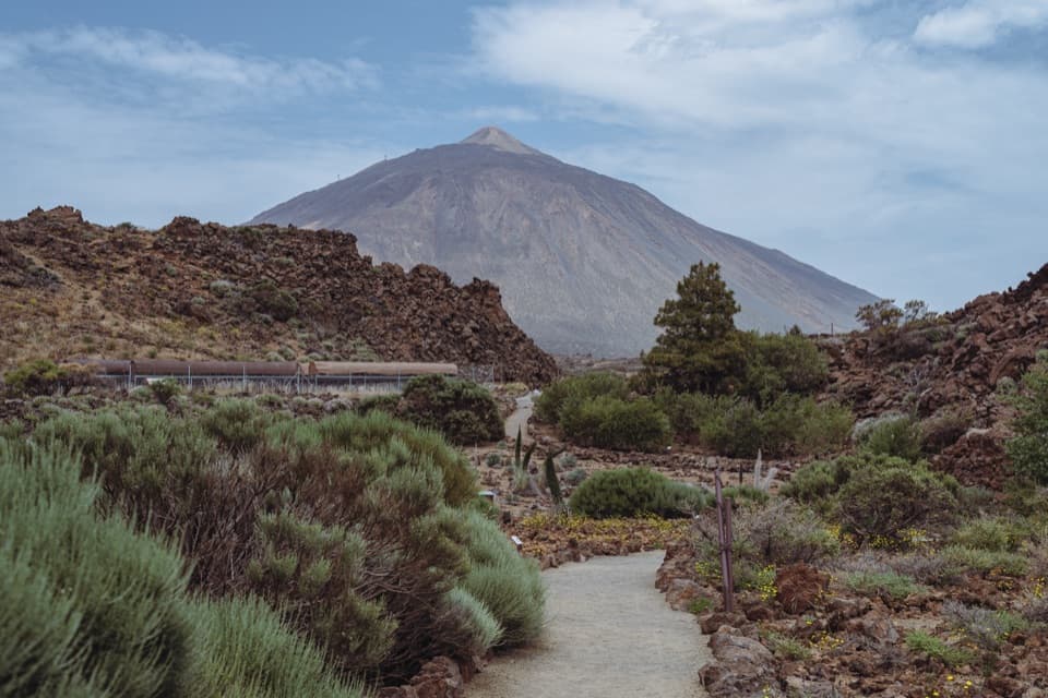
Codeso and retama grow among pumice on the lower part of the walk. Near Montaña Blanca the vegetation thins in the wind, but the Teide violet grows in this high zone. The trail is not accessible for people with reduced mobility. Pets are not allowed; guide dogs are the exception.

Wildlife

Wildlife in Teide

All Teide wildlife maps

Sighting maps show where each species has been reported across Teide. Wildlife moves, so no sighting is guaranteed.

Keep exploring

Near PNT 06 Montaña de los Tomillos

See it all on the map

Trails that start nearby

Places near the trailhead

Parkwolf’s Teide ranking

Top-rated trails in Teide

All 62 trails
  1. 1Telesforo Bravo Trail (PNT 10)Challenging · 1.4 km
  2. 2PNT 03 Roques de García LoopModerate · 3.5 km
  3. 3Alto de Guajara Summit LoopChallenging · 11.1 km
  4. 4Mirador de Pico Viejo Trail (PNT 12)Moderate · 1.5 km
  5. 5PNT 07 Montaña Blanca–La Rambleta TrailChallenging · 8.3 km
  6. 6Sámara Loop TrailModerate · 4.6 km

Take Parkwolf to Teide.

The audio tour guide for the drive, plus offline maps, trails, and wildlife heatmaps for when the signal drops.

4.7 from 8,600+ ratings

Download Parkwolf on the App StoreGet Parkwolf on Google Play