Parking
Limited spaces are available at Área Recreativa El Contador. This is a point-to-point route ending at the Parador, not a loop; arrange a pickup or check current bus service from the Parador/La Ruleta before setting out.
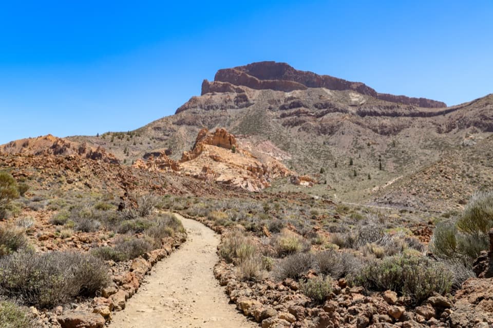
Teide National Park, TF
A full-day climb from pine woods into Teide’s high caldera.
Overview
Map & elevation
Plan your hike

The highest, rockiest slopes around here are a summer buffet for grizzly bears.
Teide Tour Guide
Parkwolf is a GPS audio tour guide for Teide National Park. As you drive, it chimes in with what’s ahead: hidden gems, upcoming stops, history, geology, and wildlife, right through your car’s speakers.
More stories near here in the app
“Fantastic app with many points of information… It’s great to just turn on while you’re driving and it gives you an audio tour of the national Park. We love it!!!!”


Trail guide
PR-TF 86 is a 9.84-mile (15.83 km) one-way traverse from Área Recreativa El Contador to the Parador de Las Cañadas del Teide. It climbs out of the southern pine country, passes Chozas Viejas, then crosses Camino del Filo and Degollada de Guajara before finishing in the high caldera. The official estimate is 6 hours 55 minutes, with about 1,588 m (5,210 ft) of climbing and 688 m (2,257 ft) down. This is a hard, full-day hike, not a loop; sort out your pickup or return transport before you set off.
Start at the recreation area and follow the PR-TF 86 markers over Morro El Peñón. The first spur is PR-TF 86.1 for Casa Forestal; keep to the main route. Farther on, Chozas Viejas is an old herders’ resting place. After it, the PR-TF 86.2 spur heads toward Fuente del Llano campsite, while the main trail continues north. Posts and yellow-and-white marks identify the route.
Stay on Camino del Filo toward Degollada de Guajara, then continue to the Parador. The route reaches 2,520 m (8,268 ft) before dropping to the finish. The route authority warns about loose rock, uneven ground and steep slopes, so expect a demanding mountain walk rather than a smooth path. The payoff is the change from pine forest and old pastoral ground to the broad, open volcanic uplands around the caldera.
Parking at El Contador is limited, and there are no services around the start. The recreation area has picnic tables and grills; its fountain is not drinking water, so bring what you need for the long climb. Toilets are available on weekends and public holidays. At the other end, parking and Tenerife bus stops are listed by the Parador and La Ruleta viewpoint; check current bus times before relying on them. Stay on the marked route and keep out of private land, hunting grounds, water galleries, wells and caves.
Wildlife
 15 sightingsShort-finned Pilot WhaleMost seen around 9 AMSighting map
 829 sightingsTenerife LizardMost seen around 11 AMSighting map
 11 sightingsWest Canary SkinkMost seen around 11 AMSighting map
 98 sightingsTenerife Blue ChaffinchMost seen around 8 AMSighting map
 45 sightingsKestrelMost seen around 10 AMSighting map
 10 sightingsBarbary PartridgeMost seen around 7 AMSighting map
Sighting maps show where each species has been reported across Teide. Wildlife moves, so no sighting is guaranteed.
Keep exploring
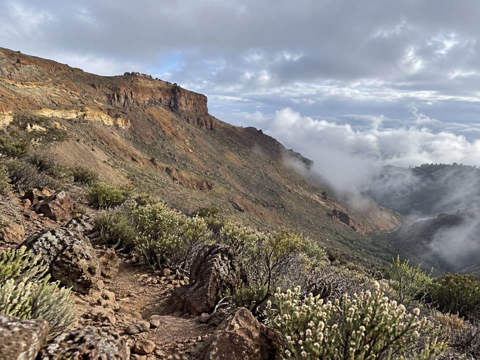 ModerateEl Filo Trail (PNT 08)14.2 km · 7 hr · 6.1 km awayA long ridge walk above the caldera, with pine forests below.
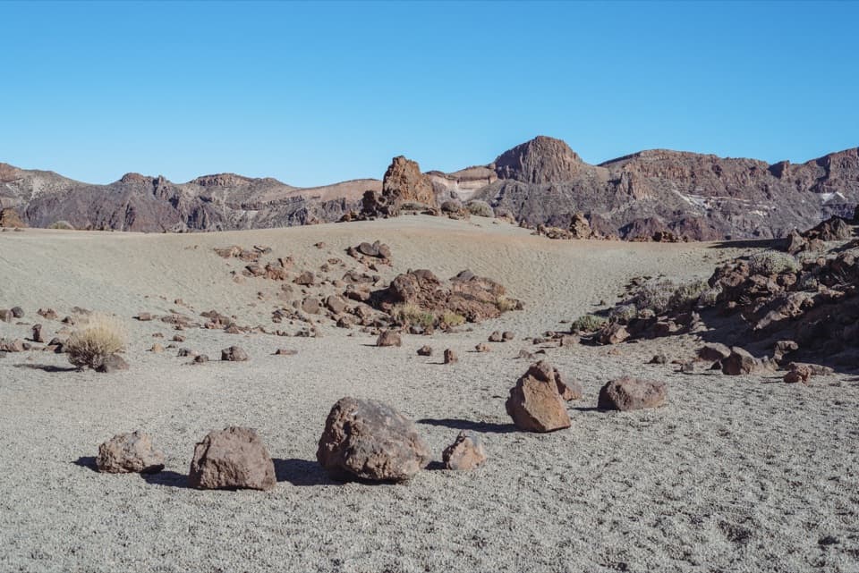 ChallengingMinas de San José Circuit24.1 km · 7 hr · 8.1 km awayLong caldera loop from pale pumice to black lava slopes
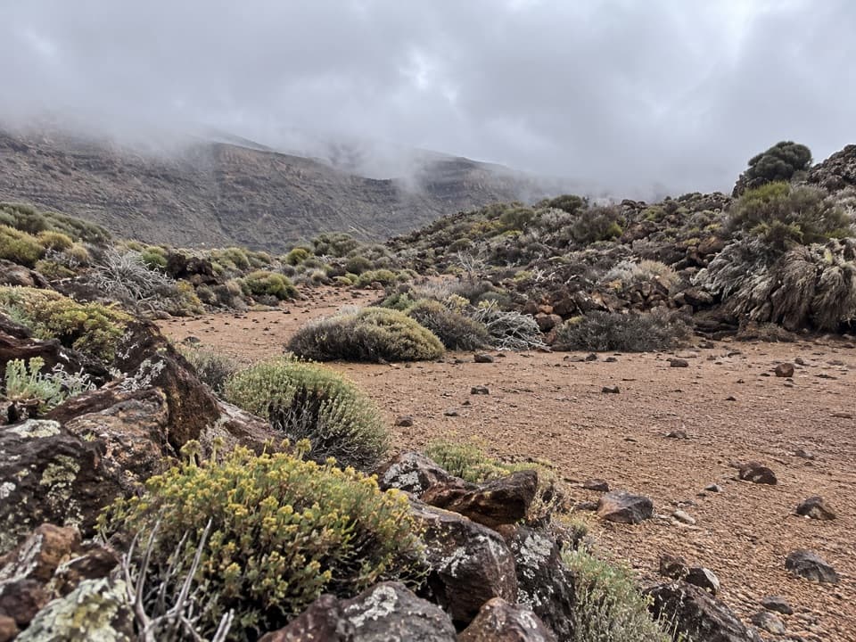 EasyPNT 30 Los Valles Trail4.9 km · 2 hr · 8.1 km awayA one-way descent from old pumice workings to the caldera wall.
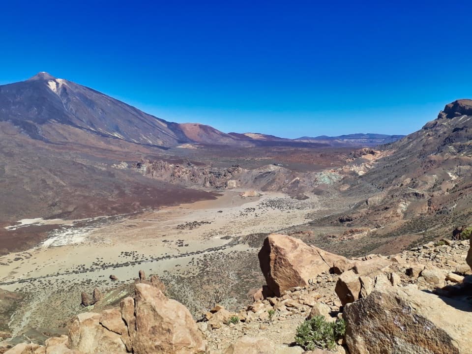 ChallengingPNT 31 Cumbres de Ucanca Trail7.8 km · 3.9 hr · 8.3 km awayWalk the ridge from caldera views to twisted Canary pines.
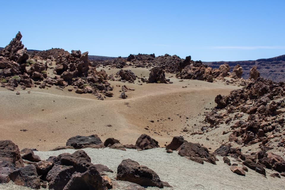 EasyPNT 39 B: Montaña Blanca to Minas de San José3.1 km · 1 hr · 8.6 km awayA short volcanic traverse from Montaña Blanca to Minas de San José.
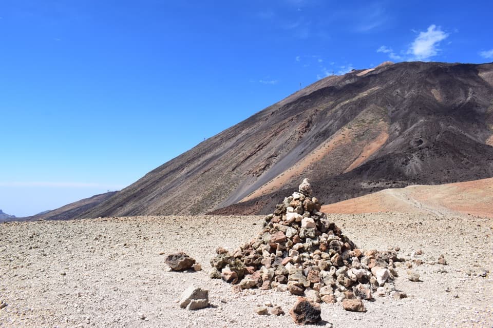 ModerateAlto de Montaña Blanca10.5 km · 4.5 hr · 8.6 km awayA long volcanic walk for a broad view across Las Cañadas.
 ChallengingPNT 07 Montaña Blanca–La Rambleta Trail8.3 km · 5.9 hr · 8.6 km awayPumice and black lava mark a steep climb to La Rambleta.
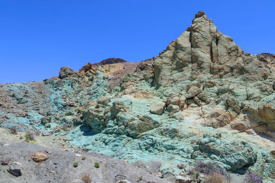 EasyLos Azulejos Accessible Trail0.2 km · 12 min · 8.8 km awayA short accessible path to blue-green hydrothermal cliffs.
 Campground · 7.2 km awayMontaña Guajara Bivouac AreaA permitted night beside Guajara’s historic observatory ruins.Sight · 7.3 km awayAlto de GuajaraClimb the caldera wall for a close view of Teide.Sight · 8.1 km awayMinas de San JoséPale pumice and dark lava make this stop feel lunar.
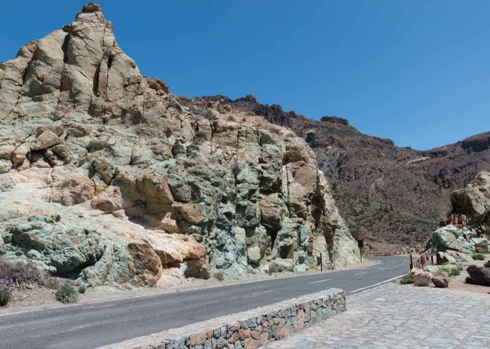 Sight · 8.8 km awayLos Azulejos ViewpointA quick stop for vivid rocks and a view over Ucanca.
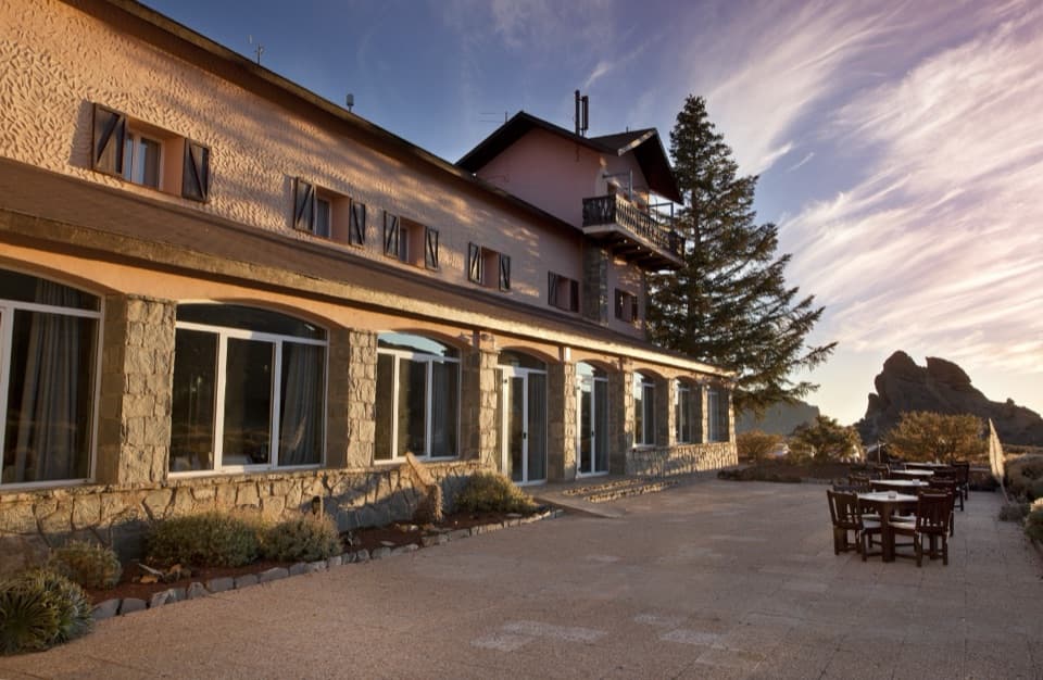 Lodging · 8.9 km awayParador de Las Cañadas del TeideSleep above 2,000 m with Canarian cooking and Teide views.
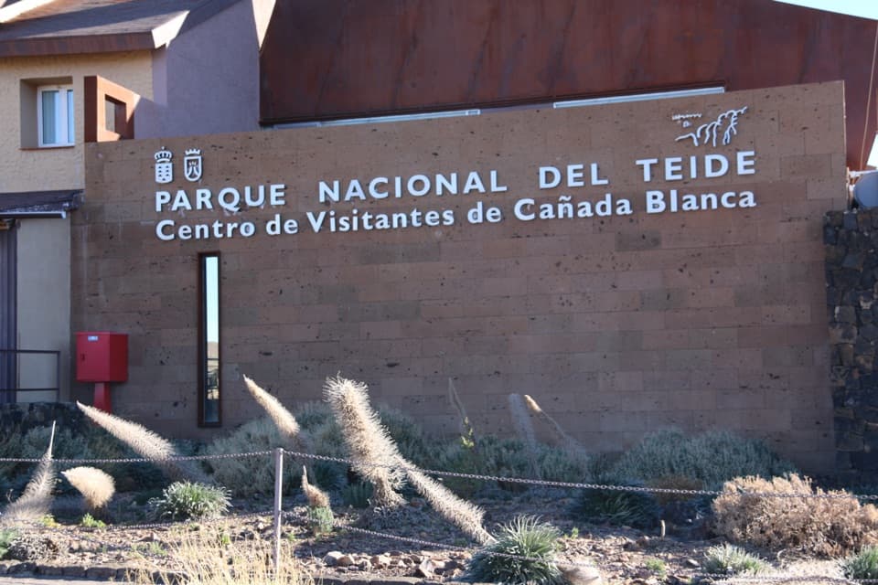 Visitor center · 8.9 km awayCañada Blanca Visitor CenterA smart indoor stop for the people and science behind Teide.
 Sight · 8.9 km awayErmita de Nuestra Señora de las NievesSpain’s highest-altitude Catholic church sits above 2,000 m on Teide.
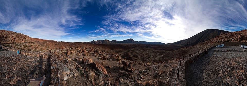 Sight · 9 km awayTabonal Negro ViewpointA short stop for a lava flow that cuts across the valley.
Parkwolf’s Teide ranking

The audio tour guide for the drive, plus offline maps, trails, and wildlife heatmaps for when the signal drops.




