1 active Virgin Islands alert
- ClosureCaneel Bay restricted areas and pier closureAt Caneel Bay, stay within designated public areas; closed areas and the pier are off-limits.Official details

Sight · Virgin Islands National Park
Climb to a hillside ruin above Leinster Bay and Waterlemon Cay.
Photo: Eoghanacht, CC0, via Wikimedia Commons
Overview
Map
Plan your stop

The highest, rockiest slopes around here are a summer buffet for grizzly bears.
Virgin Islands Tour Guide
Parkwolf is a GPS audio tour guide for Virgin Islands National Park. As you drive, it chimes in with what’s ahead: hidden gems, upcoming stops, history, geology, and wildlife, right through your car’s speakers.
Recorded for this place
Waterlemon Cay via Leinster Bay“You're nearing the Leinster Bay trailhead, the walking access for Waterlemon Cay.”
Plays as you drive up to Murphy Great House Ruins in the Parkwolf Virgin Islands Tour Guide.
More stories near here in the app
“Fantastic app with many points of information… It’s great to just turn on while you’re driving and it gives you an audio tour of the national Park. We love it!!!!”


Guide
Murphy Great House Ruins are the remains of James Murphy’s hilltop house above Annaberg. You reach it on foot by the Leinster Bay and Johnny Horn trails; the reward is a weathered stone arch and a broad view over Waterlemon Cay. Make time if you like history and are happy to climb; this is not a quick roadside stop.
Start at the small parking area below Annaberg and follow the Leinster Bay shore to Waterlemon Bay. It’s about a mile along the shoreline before Johnny Horn Trail climbs past a separate guardhouse ruin; take the signed left spur for the house. Local estimates run about 30 to 45 minutes each way, depending on pace and stops. The shoreline is mostly level but rocky in places; the final climb is steep, rocky and sunny. Start early or leave time to rest, and carry water for the exposed ridge. A picnic table is reported at the ruins, so bring a snack. Give yourself two hours or more for the walk and a proper stop.
The surviving arch and broken walls sit high above the bay. From here you can see Annaberg, Leinster Bay, Waterlemon Bay and Waterlemon Cay below, with Tortola across the channel. On a clear day, look for Great Thatch, St. Thomas and Jost Van Dyke farther out along Sir Francis Drake Channel. For a photo, put a section of stonework in the foreground with Waterlemon Cay and the bay beyond; it gives the blue water a sense of place.
James Murphy was an Irish shipowner, a St. Thomas merchant and a slave trader. He bought Waterlemon Bay in 1796 and renamed it Leinster Bay. He went on to acquire Annaberg, Mary Point and part of Betty’s Hope, and began a sugar factory at Annaberg. By 1807, his holdings covered 1,245 acres, including 494 acres planted in sugar cane. These stones sit within the much larger story of St. John’s plantation estates.
The separate ruin on the climb is identified as a guardhouse. Its position gave an overseer a view of Fungi Passage and the Narrows, the channels between St. John and nearby islands. It’s easy to pass it as another patch of old stone, but the location shows how closely these estates watched the shoreline.
Wildlife
 156 sightingsWhite-tailed DeerMost seen around 8 AMSighting map
 117 sightingsGreen IguanaMost seen around 9 AMSighting map
 63 sightingsBrown PelicanMost seen around 8 AMSighting map
 36 sightingsGreen Sea TurtleMost seen around noonSighting map
 32 sightingsAmerican FlamingoMost seen around 7 AMSighting map
 26 sightingsNurse SharkMost seen around 7 PMSighting map
Sighting maps show where each species has been reported across Virgin Islands. Wildlife moves, so no sighting is guaranteed.
Keep exploring
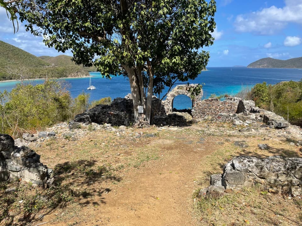 ChallengingJohnny Horn Trail1.8 mi · 3 hr · 0.1 mi awayStone ruins and ridge views on a steep bay-to-harbor traverse.
 EasyLeinster Bay Trail1.6 mi · 1 hr · 0.8 mi awayAn old Danish road leads to Waterlemon Bay and Cay views.
 EasyAnnaberg Historic Trail0.3 mi · 1 hr · 0.8 mi awayA short climb to an old sugar mill and windmill
 EasyFrancis Bay Trail0.8 mi · 1 hr · 1.4 mi awayRuins, beach, and a salt-pond boardwalk fit into one short loop.
 ModerateBrown Bay Trail3.2 mi · 2 hr · 1.4 mi awayA steep first rise leads to Brown Bay and old estate ruins.
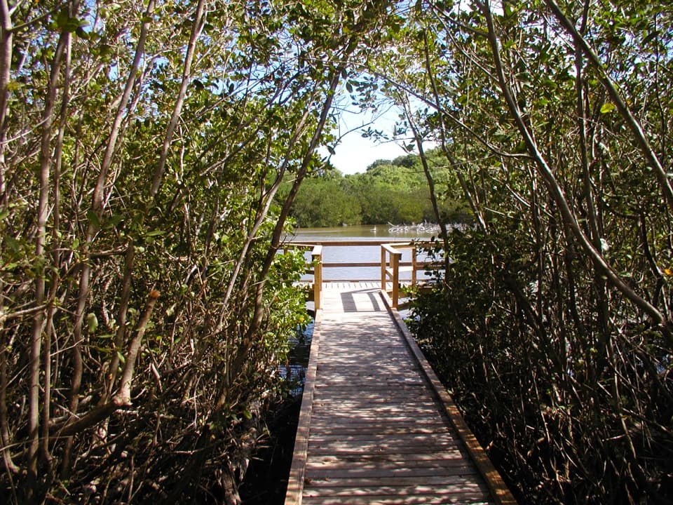 EasyFrancis Bay Boardwalk0.3 mi · 15 min · 1.6 mi awayA quick, accessible look into a mangrove salt pond.
 ChallengingPetroglyph Trail3.4 mi · 3 hr · 2 mi awayA shaded descent to ancient carvings, with a steep climb back out.
 ModerateMaria Hope Trail0.8 mi · 45 min · 2 mi awayA shaded historic road drops through forest to a Maho Bay overlook.
 Beach · 0.2 mi awayLeinster Bay BeachA rocky bay shore that suits snorkelers more than sunbathers.Sight · 0.3 mi awayWaterlemon CayA reef-ringed cay, reached by a real open-water swim.
 Sight · 0.8 mi awayAnnaberg Sugar PlantationRead St. John’s sugar and enslavement history among the ruins.
 Beach · 0.9 mi awayBrown Bay BeachA shallow, tucked-away bay with seagrass and sugar-era ruins.
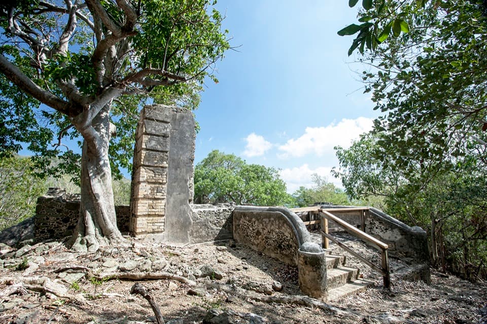 Sight · 1.1 mi awayAnnaberg School RuinsA small school ruin with a long, difficult history.
 Sight · 1.4 mi awayMary Point Great House RuinsA small ruin with a long, layered estate story.
 Beach · 1.6 mi awayFrancis Bay BeachA quieter swim-and-snorkel beach with a birding loop behind it.
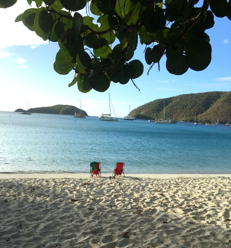 Beach · 1.8 mi awayMaho Bay BeachSnorkel above seagrass where green turtles graze.
Parkwolf’s Virgin Islands ranking

The audio tour guide for the drive, plus offline maps, trails, and wildlife heatmaps for when the signal drops.


