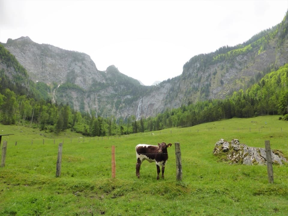
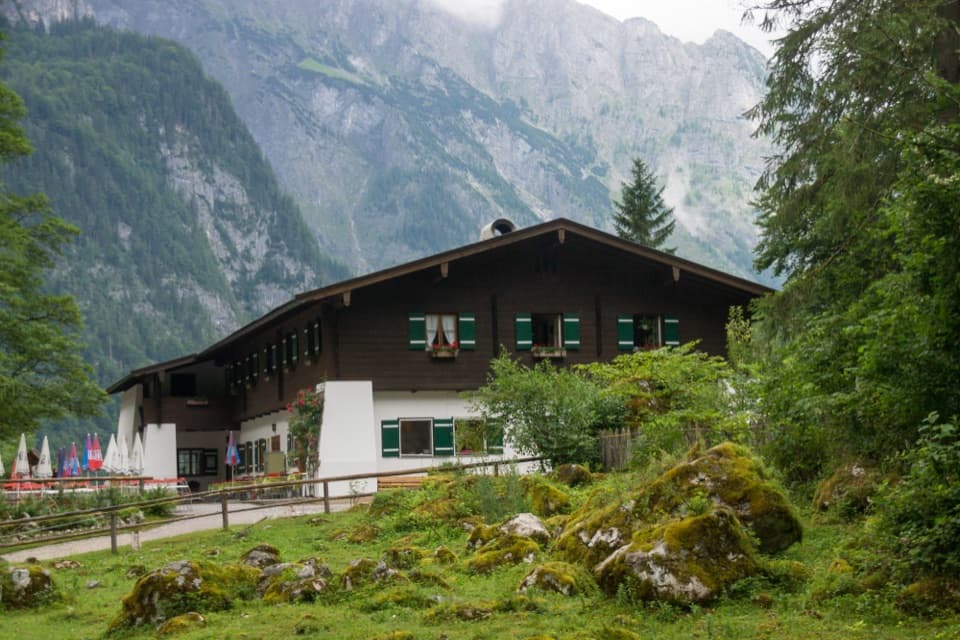
Almer Wallfahrerweg zum Königssee in Berchtesgaden National Park

Berchtesgaden National Park, BY

Almer Wallfahrerweg zum Königssee

A full-day pilgrimage over the Steinernes Meer to St. Bartholomä.

Photo: Wikimedia Commons
Length
21.1km
Time
10hr
Elev. change
1,557m
Difficulty
Challenging
  • High point 2,162 m
Parkwolf audio tour25 stories across Berchtesgaden’s roads

Overview

About Almer Wallfahrerweg zum Königssee

Why go

  • A true high-alpine crossing with distinct stages at Riemannhaus, Funtensee and Saugasse.
  • A centuries-old pilgrimage route ends beside Königssee at St. Bartholomä.

Heads up

  • A very long day over rugged, almost waterless karst terrain.
  • The one-way finish requires planning onward transport from the lakeside.

Map & elevation

The route

Loading the Berchtesgaden map
Full map
Elevation605–2,162 m
TrailheadMaria Alm (Almer Wallfahrt start)47.42649, 12.90555
Keep this map with you offline in the Parkwolf app

Plan your hike

Before you go

Parking

Start on the Maria Alm side; a car park is listed at the village entrance, while the mapped route begins farther up-valley and parking at that exact point was not confirmed. A taxi can shorten the initial climb. Parkplatz Sandten has limited spaces about 1.5 km up the Riemannhaus approach, so starting there skips part of the walking route.


Safety

This hard high-alpine traverse crosses rugged, nearly waterless terrain and finishes with more than 30 steep turns through Saugasse. Mountain weather changes quickly at this elevation. Plan your exit from St. Bartholomä before starting, and verify dog access and any permit requirements; neither rule was confirmed.

3 active Berchtesgaden alerts

  • ClosureKlausbachtal trails closed for bridge and flood-protection workAvoid the closed Klausbachtal trail sections; the Klausbach cannot be crossed at the affected bridges. - Trail No.Official details
  • ClosureKönigsbach Waterfall Gumpen area closedDo not enter the area around the “Gumpen” pools at the Königsbach Waterfall on Königssee.Official details
See all 3 alerts
A park ranger sits on a dash-mounted phone, talking, as Parkwolf’s Tour Guide plays “Army Cutworm Moths: A Grizzly Bear Buffet” on Grand Loop Road below Dunraven Pass in Yellowstone
Parkwolf Tour GuideThe highest, rockiest slopes around here are a summer buffet for grizzly bears.

Berchtesgaden Tour Guide

Your drive to Almer Wallfahrerweg zum Königssee, narrated.

Parkwolf is a GPS audio tour guide for Berchtesgaden National Park. As you drive, it chimes in with what’s ahead: hidden gems, upcoming stops, history, geology, and wildlife, right through your car’s speakers.

  • 25 audio storiesacross Berchtesgaden’s roads, triggered by GPS as you drive
  • Wildlife heatmapsfor Bearded Vulture, Golden Eagle, Red Deer, and 13 more
  • Works offlinemaps, 71 trails, 57 places, and audio download before you lose signal
  • CarPlay readysimple controls built for the drive
★★★★★
“Fantastic app with many points of information… It’s great to just turn on while you’re driving and it gives you an audio tour of the national Park. We love it!!!!”
JMJamesApp Store review
Download Parkwolf on the App StoreGet Parkwolf on Google Play

4.7 from 8,600+ ratings

Trail guide

Hiking Almer Wallfahrerweg zum Königssee

The full crossingAlmer Wallfahrerweg is a one-way high-alpine route from Maria Alm in Austria to St.

Almer Wallfahrerweg is a one-way high-alpine route from Maria Alm in Austria to St. Bartholomä on Königssee, crossing the Steinernes Meer by way of Riemannhaus, Funtensee, Kärlingerhaus and Saugasse. The walking line is about 21.1 km (13.1 mi), with 1,278 m of ascent and 1,633 m of descent; allow about 10 hours on foot. It is a hard mountain day for fit hikers who are sure-footed on steep, rough ground. Some route measurements include roughly 5.5 km on the lake boat after the walk, which is why the total can appear as 26.7 km. The hike ends at St. Bartholomä; plan your onward trip from the lakeside before setting out.

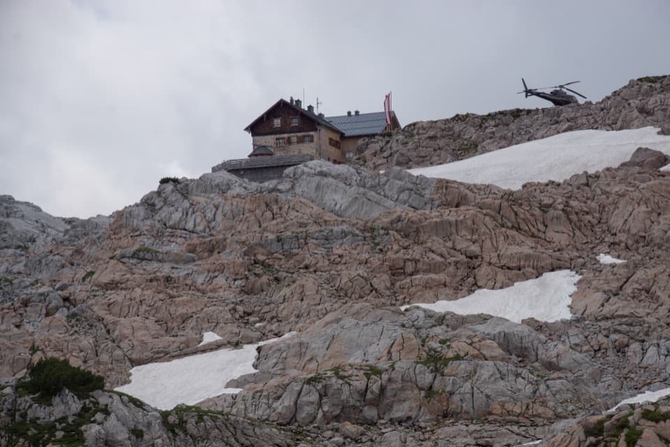
Up to RiemannhausThe route climbs from the Maria Alm side to Riemannhaus at 2,177 m, set in Ramseider Scharte…

The route climbs from the Maria Alm side to Riemannhaus at 2,177 m, set in Ramseider Scharte between the Sommerstein and Breithorn walls. This is the first major landmark and a useful place to break the crossing if you are staying overnight. The hut serves food and offers beds during its weather-dependent summer season, usually from mid-June into early October. Reserve ahead if you plan to sleep there. For a photo, frame the white hut below Sommerstein’s dark limestone face from the approach; that shows the scale of the saddle.

Across the Steinernes MeerBeyond the hut, the route crosses a rugged karst plateau roughly 13 km long and 5 km wide.

Beyond the hut, the route crosses a rugged karst plateau roughly 13 km long and 5 km wide. Expect long stretches of pale, broken limestone with very little natural water. Carry the water you need for the crossing rather than counting on a stream or spring. The route is high and exposed to changing mountain weather, so this is a poor choice when conditions are unsettled.

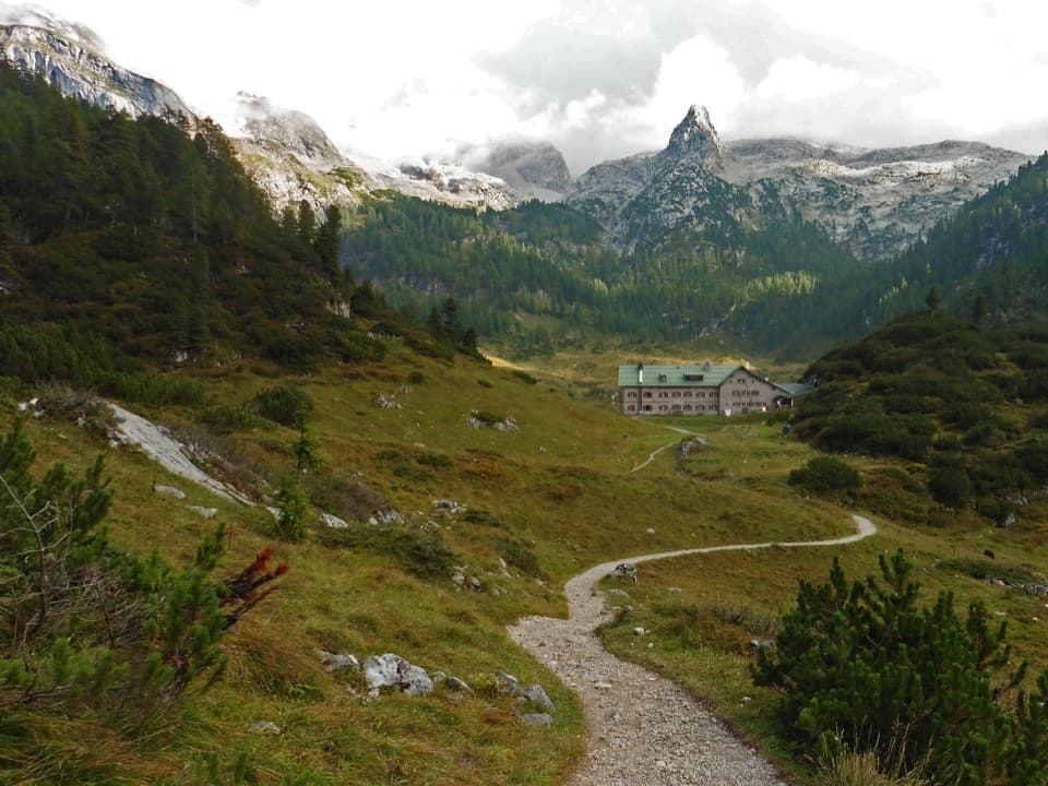
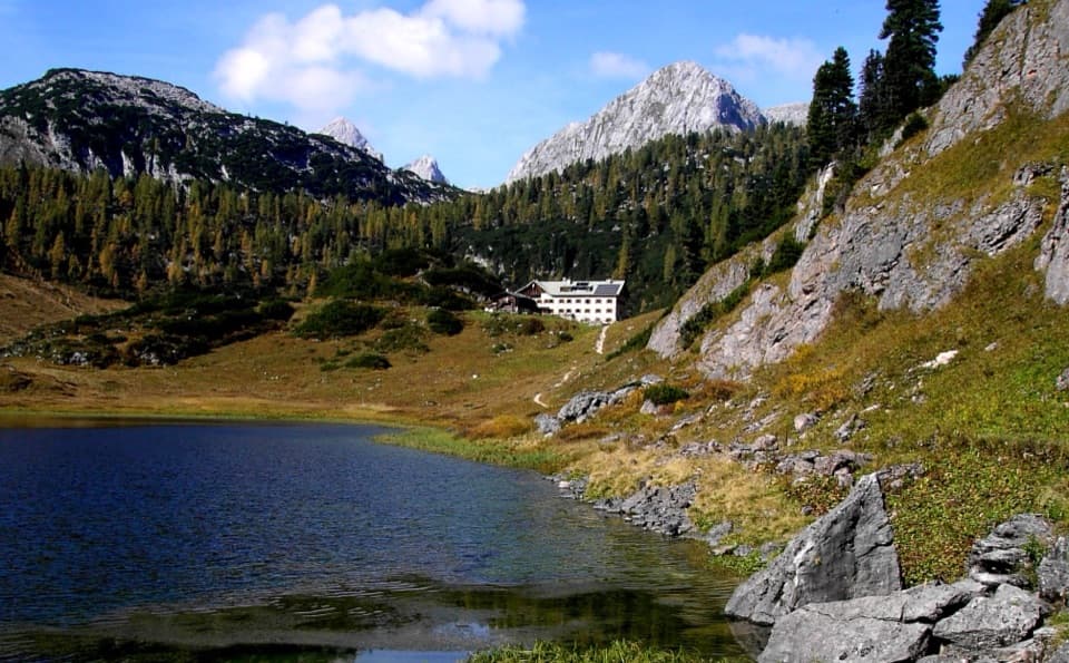
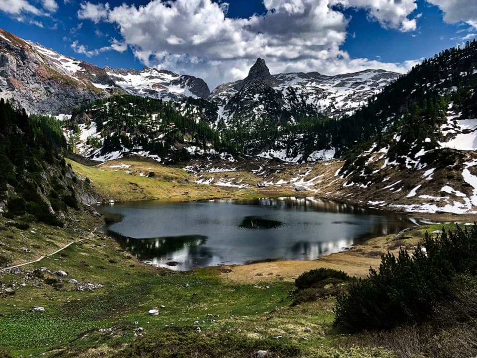
Funtensee and KärlingerhausFuntensee lies in a grassy basin below the plateau, beside Kärlingerhaus.

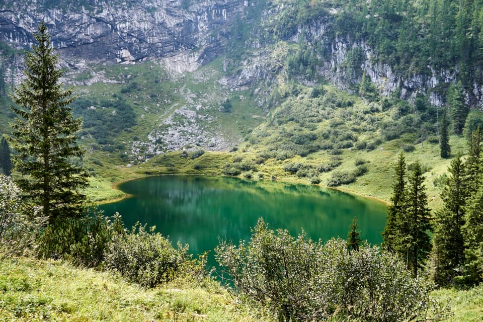
Funtensee lies in a grassy basin below the plateau, beside Kärlingerhaus. The staffed hut serves food and has overnight accommodation; reserve a bed, especially in the busy summer season. The basin is famous for trapping cold air: a −45.9 °C reading was recorded at the lake on Christmas Eve 2001. Chamois and marmots use the open slopes around Funtensee, and the protected Pannonian gentian grows here; leave the plants undisturbed.

Down Saugasse to the lakeFrom Kärlingerhaus, the path drops through more than 30 tight turns in Saugasse, losing roughly…

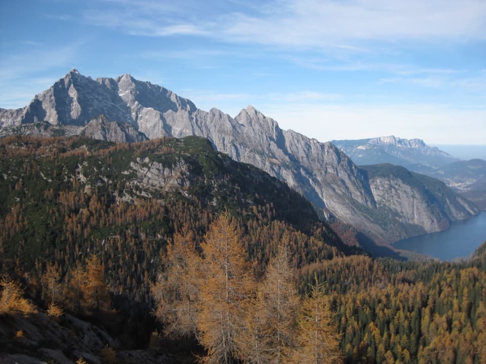
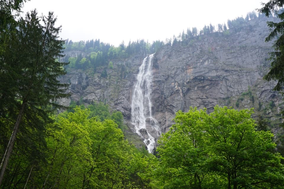
From Kärlingerhaus, the path drops through more than 30 tight turns in Saugasse, losing roughly 350–400 m between steep rock walls. It then crosses a basin and descends through woodland toward St. Bartholomä. The final approach opens views toward Königssee and Obersee and passes Schrainbachfall and the former Schrainbachalm. At the end, the white pilgrimage church and its lakeside restaurant sit beside the landing; the beer garden serves Bavarian specialties. The usual return is by boat to Seelände, so check the current timetable and last departure before committing to the hike.

The pilgrimage traditionThe annual Almer Wallfahrt takes place on the Saturday after 24 August and can bring as many as…

The annual Almer Wallfahrt takes place on the Saturday after 24 August and can bring as many as 2,000 walkers, clergy, musicians and yodelers across the mountains. Local tradition says the pilgrimage began in 1635 as thanks for surviving plague. Its first documentary mention is from 1688, when an open wooden boat carrying pilgrims capsized and 71 people died. If you hike on the event date, expect a large organized procession; that crowd is not typical of an ordinary day.

Wildlife

Wildlife in Berchtesgaden

All Berchtesgaden wildlife maps

Sighting maps show where each species has been reported across Berchtesgaden. Wildlife moves, so no sighting is guaranteed.

Keep exploring

Near Almer Wallfahrerweg zum Königssee

See it all on the map

Trails that start nearby

Places near the trailhead

Parkwolf’s Berchtesgaden ranking

Top-rated trails in Berchtesgaden

All 71 trails
  1. 1Kleine ReibnChallenging · 18.7 km
  2. 2Obersee – Fischunkelalm – RöthbachfallModerate · 8 km
  3. 3Malerwinkel-RundwegEasy · 3.4 km
  4. 4Wimbachklamm-RundwegModerate · 2.1 km
  5. 5Blaueishütte via SchärtenalmChallenging · 10.5 km
  6. 6Gotzenalm via Hochbahn TrailChallenging · 22.8 km

Take Parkwolf to Berchtesgaden.

The audio tour guide for the drive, plus offline maps, trails, and wildlife heatmaps for when the signal drops.

4.7 from 8,600+ ratings

Download Parkwolf on the App StoreGet Parkwolf on Google Play