Parking
This hut-to-town point-to-point route begins at Riemannhaus and ends in Unken; no single trailhead lot or verified parking plan was found. Arrange access and onward transport for both ends.
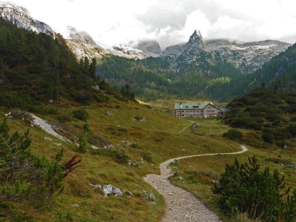
Berchtesgaden National Park, BY
Five alpine stages knit a limestone plateau to Königssee by boat.
Overview
Map & elevation
Plan your hike

The highest, rockiest slopes around here are a summer buffet for grizzly bears.
Berchtesgaden Tour Guide
Parkwolf is a GPS audio tour guide for Berchtesgaden National Park. As you drive, it chimes in with what’s ahead: hidden gems, upcoming stops, history, geology, and wildlife, right through your car’s speakers.
“Fantastic app with many points of information… It’s great to just turn on while you’re driving and it gives you an audio tour of the national Park. We love it!!!!”


Trail guide
The Via Alpina Purple from Riemannhaus to Unken is a one-way, five-stage alpine traverse, not a day hike. The stage figures total about 39 miles (62.7 km). Their listed walking times add to roughly 19 hours, plus a 35-minute boat crossing; spread the trip over several days and allow time for stops. The mapped route is closer to 37 miles, so treat the total as approximate. It begins at the Riemannhaus high on the Austrian side, crosses into Berchtesgaden National Park at Baumgartl, passes through the Königssee district, then leaves the park again across the Reiter Alm to Unken in Austria. You must take a passenger boat from St Bartholomä to Königssee village between stages A41 and A42. Current end-to-end marking and access weren't verified; check present-day stage information, hut arrangements and the boat before setting out.
From Riemannhaus, A40 crosses the open Steinernes Meer plateau past Salzburger Kreuz at 2,135 m. Red-and-white trail marks cross the pale limestone, where rain has cut grooves, caves and funnel-shaped hollows into the rock. Rotwandl's red Jurassic limestone stands out across the karst. Snow or mist can make this broad plateau surprisingly hard to follow even when the marks are visible. The way descends past the small Schwarzen Lacke waterhole to wooded Baumgartl, crosses the border into the park, and continues through forest to Funtensee and Kärlingerhaus. Listen at Teufelsmühle, the lake's underground outlet: water gurgles below the rocks, but you can't see it.
A41 leaves Kärlingerhaus toward Ofenloch and Oberlahneralm, then drops through the stony Saugasse on 36 tight hairpins. The path is not exposed, but the long descent is hard on knees. A roughly carved crucifix called Foaster Herrgott marks the lower end of the switchbacks. From there, sparse beech woods lead past Schrainbach stream and a waterfall to St Bartholomä's alluvial shore, beneath the nearly 2,000 m Watzmann East Face. Saugasse is an avalanche hazard in winter and cannot be treated as a year-round crossing. At the lake, the route switches from walking to a boat ride before the next stage begins at the village.
After the boat, A42 climbs from Königssee village through woodland to Grünsteinhütte, then descends through a gully and crosses the meadows of Hinterschönau before reaching Engedey. A43 follows the stream to Söldenköpfl and the Soleleitungsweg, then climbs from Wachterl onto the broken limestone tableland of Reiter Alm. Keep to the marked line there. Dolines dimple the karst, and the plateau holds some of Germany's oldest Swiss stone pines, including trees up to 500 years old. A44 starts with a high meadow walk, then drops steeply on wooden steps past a spring to Alpaalm. That descent is often wet and slippery; below it, shady ravine-like forest gives way to the Innersbachklamm gorge and the Gaissteig path along the Saalach to Unken.
The stages name refuges at Riemannhaus, Kärlingerhaus and Neue Traunsteiner Hütte, plus stops such as Grünsteinhütte, Hammerstiel and Söldenköpfl. St Bartholomä has a restaurant and fish smokehouse in the route description, but current opening and reservation details weren't established. The church there was consecrated in 1134 and took its present Baroque form in the late 17th century; the Watzmann East Face was first climbed by Johann Grill senior in 1881. Königssee is a glacial trough about 8 km long and 214 m deep, separated from Obersee by a terminal moraine. This point-to-point route starts at a mountain hut and finishes in another country, so plan transport at both ends; no single parking arrangement was verified.
Wildlife
 14 sightingsBearded VultureMost seen around noonSighting map
 29 sightingsGolden EagleMost seen around noonSighting map
 22 sightingsRed DeerMost seen around 6 PMSighting map
 131 sightingsAlpine ChamoisMost seen around 5 PMSighting map
 65 sightingsAlpine SalamanderMost seen around 11 AMSighting map
 63 sightingsAlpine MarmotMost seen around 9 AMSighting map
Sighting maps show where each species has been reported across Berchtesgaden. Wildlife moves, so no sighting is guaranteed.
Keep exploring
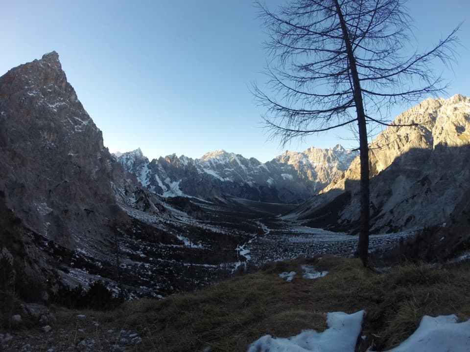 ChallengingRiemannhaus–Wimbachbrücke Alpine Traverse22.5 km · 10.5 hr · At the trailheadCross a pale limestone sea before dropping through a vast gravel valley
 ChallengingAlmer Wallfahrerweg zum Königssee21.1 km · 10 hr · 3.6 km awayA full-day pilgrimage over the Steinernes Meer to St. Bartholomä.
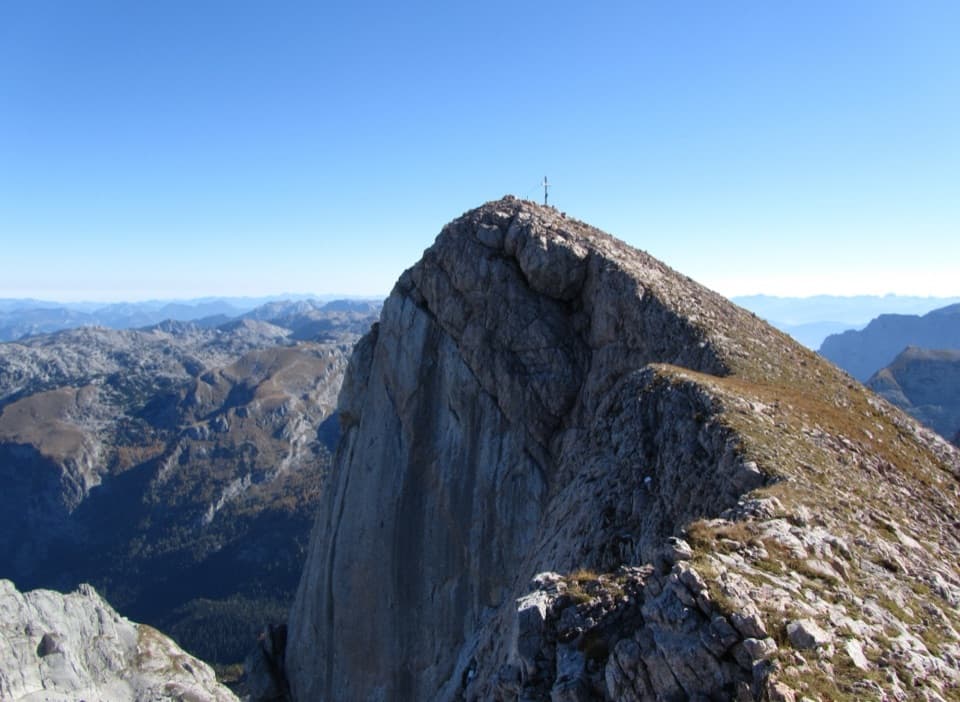 ChallengingFuntenseetauern vom Kärlingerhaus9 km · 6 hr · 4.5 km awayA high, exposed summit above the cold basin of Funtensee.
 ModerateViehkogel from Kärlingerhaus5 km · 4 hr · 4.5 km awayA steep two-hour ascent to broad views over Funtensee.
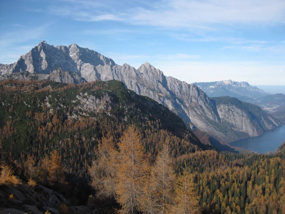 ModerateFeldkogel from Kärlingerhaus4.1 km · 2 hr · 4.5 km awayA short summit spur above Funtensee, with a view over Königssee.
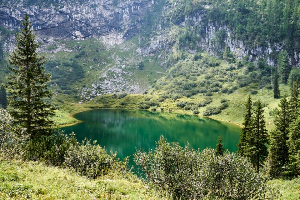 ChallengingSagereckersteig7.4 km · 4 hr · 4.5 km awayA steep alpine descent links Funtensee’s hut to the Königssee shore.
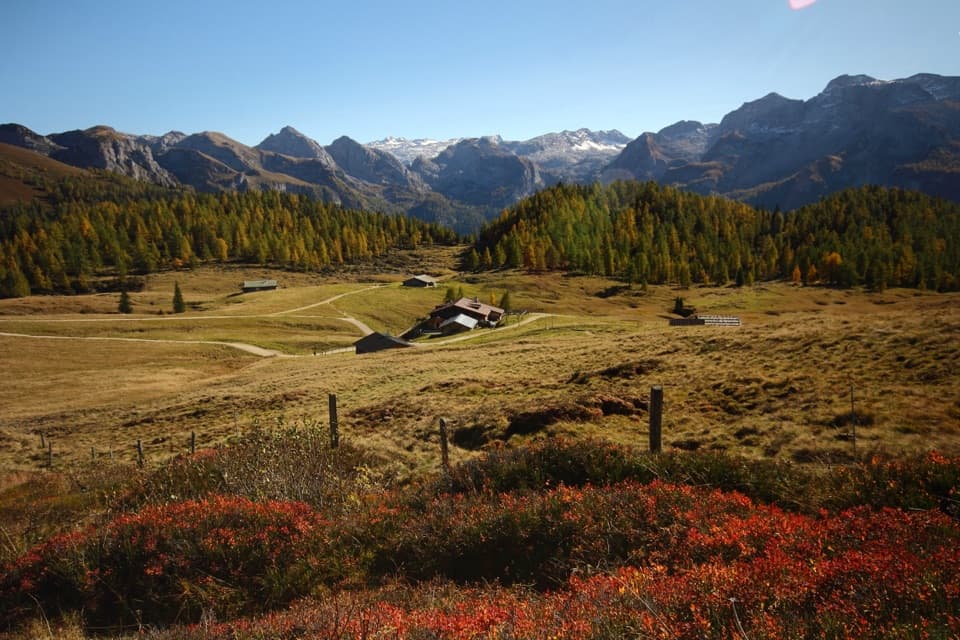 ChallengingGotzenalm via Kaunersteig15.8 km · 8 hr · 8.6 km awayA steep climb earns a balcony over Königssee.
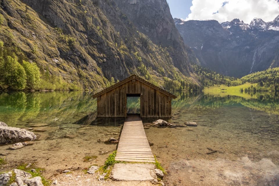 EasyObersee Accessible Trail2 km · 1 hr · 8.7 km awayA gentle lakeside walk ends at Obersee’s little boathouse.
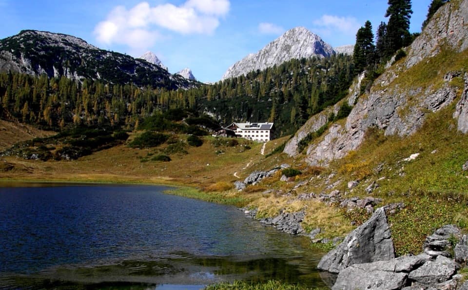 Lodging · 4.5 km awayKärlingerhausA high-alpine hut beside Funtensee, reached only on foot.
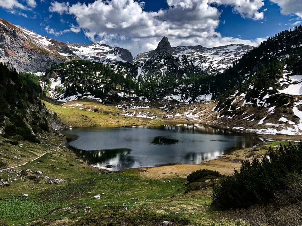 Sight · 4.5 km awayFuntenseeA high alpine lake with a famously cold basin, reached on foot.
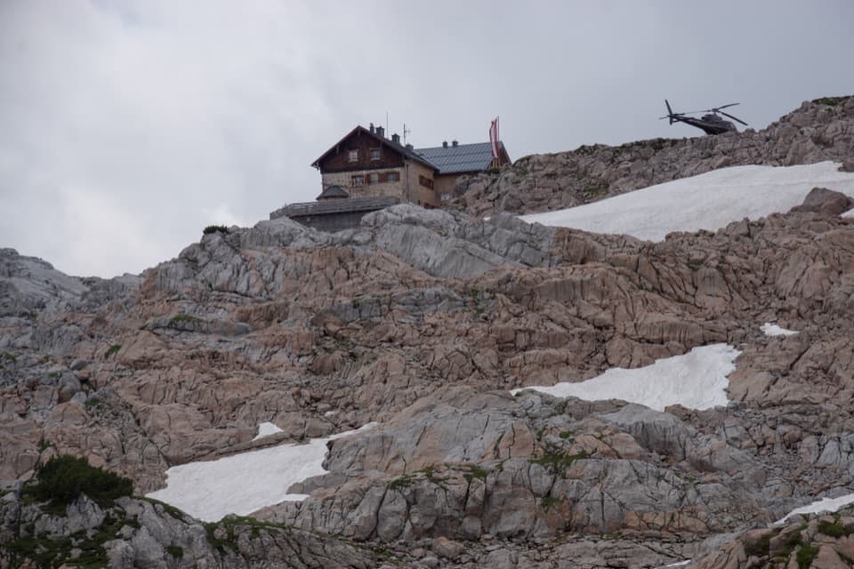 Lodging · 5.3 km awayIngolstädter HausA high-alpine hut for long climbs and Steinernes Meer nights.
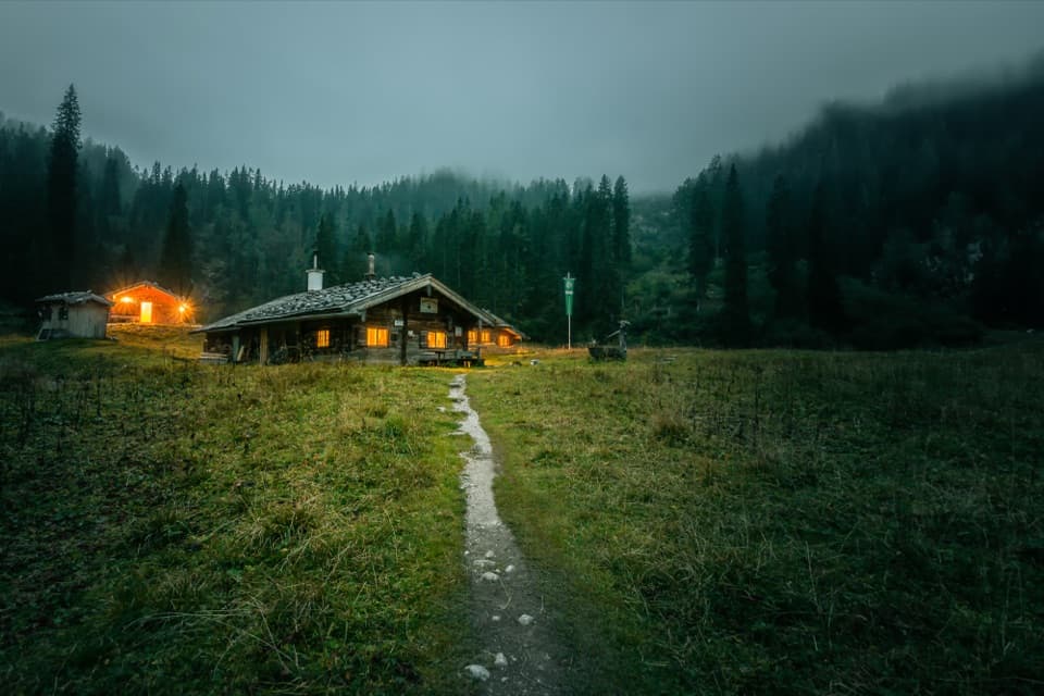 Lodging · 8 km awayWasseralmA simple hut night deep in the Königssee backcountry.
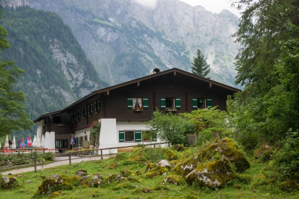 Restaurant · 8.5 km awaySaletalmLunch before the Obersee walk, with a beer garden under limestone cliffs.Sight · 8.5 km awayOberseeAn emerald lake with a mountain wall and waterfall behind it.
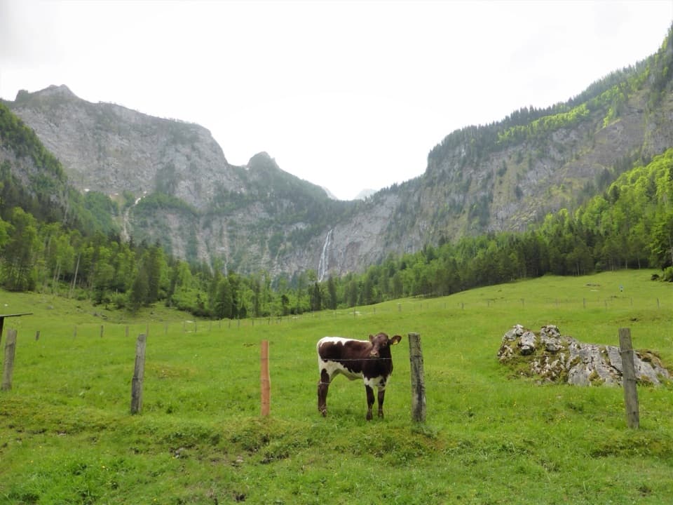 Restaurant · 8.7 km awayFischunkelalmA dairy stop on Obersee’s far shore, reached by boat and trail.
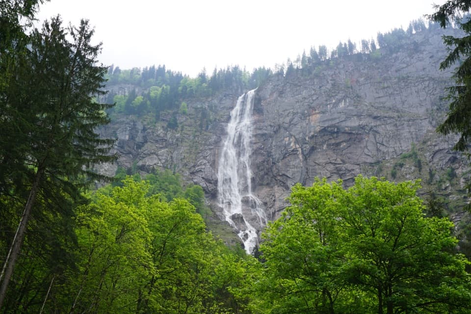 Sight · 8.8 km awayRöthbach WaterfallA two-stage, 470 m waterfall at the end of a boat-and-hike day.
Parkwolf’s Berchtesgaden ranking

The audio tour guide for the drive, plus offline maps, trails, and wildlife heatmaps for when the signal drops.





