Parking
The route starts at the locked gate on Glenraphael Drive, about 2 km from the Cliff Drive turnoff. Parking is at the gate. The unsealed approach can become boggy and potholed after rain; a 4WD is recommended.

Blue Mountains National Park, NSW
A long plateau walk to Clear Hill above two deep valleys.
Overview
Map & elevation
Plan your hike

The highest, rockiest slopes around here are a summer buffet for grizzly bears.
Blue Mountains Tour Guide
Parkwolf is a GPS audio tour guide for Blue Mountains National Park. As you drive, it chimes in with what’s ahead: hidden gems, upcoming stops, history, geology, and wildlife, right through your car’s speakers.
See the Blue Mountains audio tourRecorded for this trailhead
Narrow Neck Gate and the Castle Head Walk“You're approaching the Narrow Neck gate, the starting point for the walk to Castle Head. The unsealed approach can be boggy and potholed, and four-wheel drive is recommended.”
Plays as you drive up to this trailhead in the Parkwolf Blue Mountains Tour Guide.
More stories near here in the app
“Fantastic app with many points of information… It’s great to just turn on while you’re driving and it gives you an audio tour of the national Park. We love it!!!!”


Trail guide
Narrow Neck trail is a 19 km out-and-back from the locked gate across the high plateau to Clear Hill and back. Allow 5–6 hours on foot; it is graded medium, but this is still a long, remote walk for self-sufficient hikers. The 2 km unsealed access road from the Cliff Drive turnoff to the gate is extra. The route crosses a high peninsula within the Greater Blue Mountains World Heritage Area.
The unpaved track passes through open forest, heath and swampland. At its narrowest, the plateau pinches between Jamison Valley and Megalong Valley, with cliffs dropping away on both sides. There are no safety fences, so keep children close here. Walkers have priority over cyclists on this shared track. A wide view that keeps the narrow ridge and both valley sides in frame shows the shape of the peninsula.
At the southern end, Clear Hill looks toward the Wild Dog Mountains, Kanangra Wilderness and part of Lake Burragorang. You return along the same track, so leave enough time and energy for the walk back.
Banksias and other nectar-producing plants grow through the shrub and heath, which attract eastern spinebills and New Holland honeyeaters. Yellow-faced honeyeaters migrate through in spring and autumn; wedge-tailed eagles may perform figure-eight courtship flights high over the valleys.
Park at the locked gate on Glenraphael Drive, around 2 km from the Cliff Drive turnoff. The unsealed approach can become boggy and potholed after rain, and a 4WD is recommended. No water or toilets are reported along the track, so carry water and snacks. Toilets are near Narrow Neck fire tower or at Katoomba Falls Reserve, separate from the route. A free trip intention form and personal locator beacon are recommended. Pets are not allowed except certified assistance animals.
Wildlife
 58 sightingsGrey KangarooMost seen around 6 AMSighting map
 43 sightingsWombatMost seen around 6 PMSighting map
 18 sightingsRed-necked WallabyMost seen around 6 PMSighting map
 53 sightingsSwamp WallabyMost seen around 7 AMSighting map
 23 sightingsBrushtail PossumMost seen around 7 PMSighting map
 30 sightingsRing-tailed PossumMost seen around 7 PMSighting map
Sighting maps show where each species has been reported across Blue Mountains. Wildlife moves, so no sighting is guaranteed.
Keep exploring
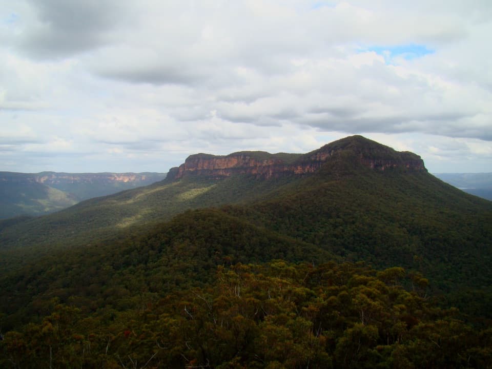 ChallengingMount Solitary via Golden Stairs12.7 km · 8.5 hr · 0.7 km awayA full-day climb from rainforest to a remote sandstone summit.
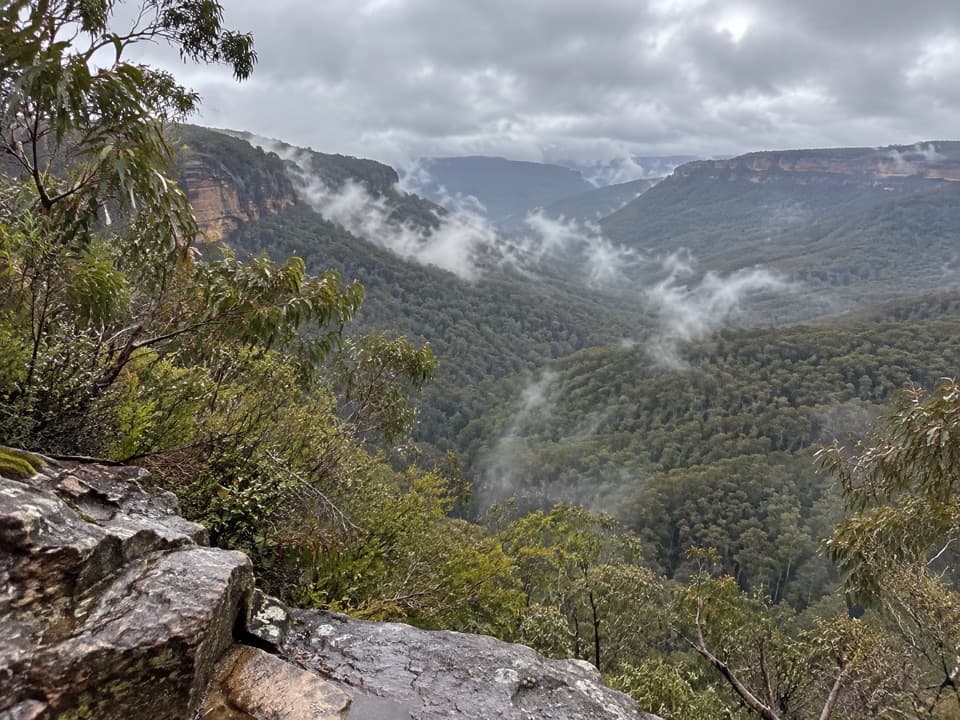 ChallengingGolden Stairs walking track1.6 km · 1.3 hr · 0.7 km awayA steep stairway down to Federal Pass, with the climb waiting.ChallengingRuined Castle walking track8.2 km · 5 hr · 0.7 km awayA steep valley hike to sandstone outcrops and mining history.
 EasyScenic Walkway1.9 km · 50 min · 2.2 km awayA ticketed rainforest boardwalk links valley stations beneath the canopy.
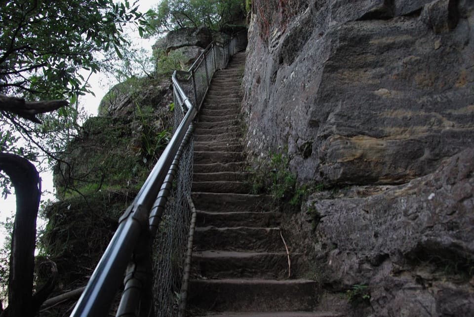 ModerateFurber Steps walk2.2 km · 1.5 hr · 2.3 km awayA stairway drops through rainforest to the base of Katoomba Falls.
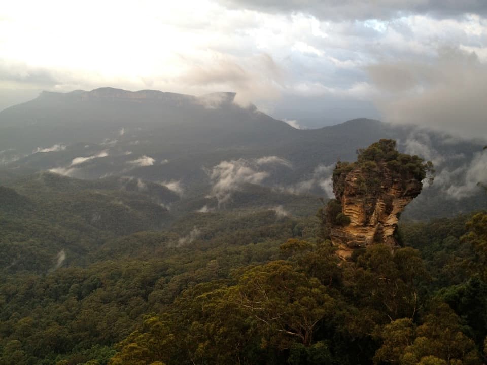 ModerateRound walking track1.2 km · 1 hr · 2.7 km awayA compact loop pairs waterfall lookouts with a shady ferny gorge.ChallengingMount Solitary walking track34 km · 22 hr · 2.7 km awayRainforest, tramway history, and a rough ridge in a three-day loop.
 ModeratePrince Henry Cliff walk7 km · 3.5 hr · 2.9 km awayA cliff-top walk with Three Sisters views and more than 20 lookouts.
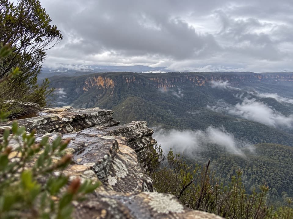 Sight · 1.8 km awayCastle Head LookoutA rocky headland with views over Mount Solitary and the valleySight · 1.9 km awayNarrow Neck LookoutA quick stop for the Jamison and Megalong valleys.
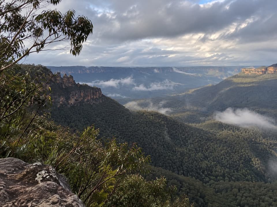 Sight · 2 km awayEagle Hawk LookoutA quieter Jamison Valley view toward the Three Sisters.
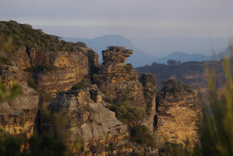 Sight · 2.2 km awayCahills LookoutFour platforms open onto Megalong Valley and Narrow Neck Peninsula.
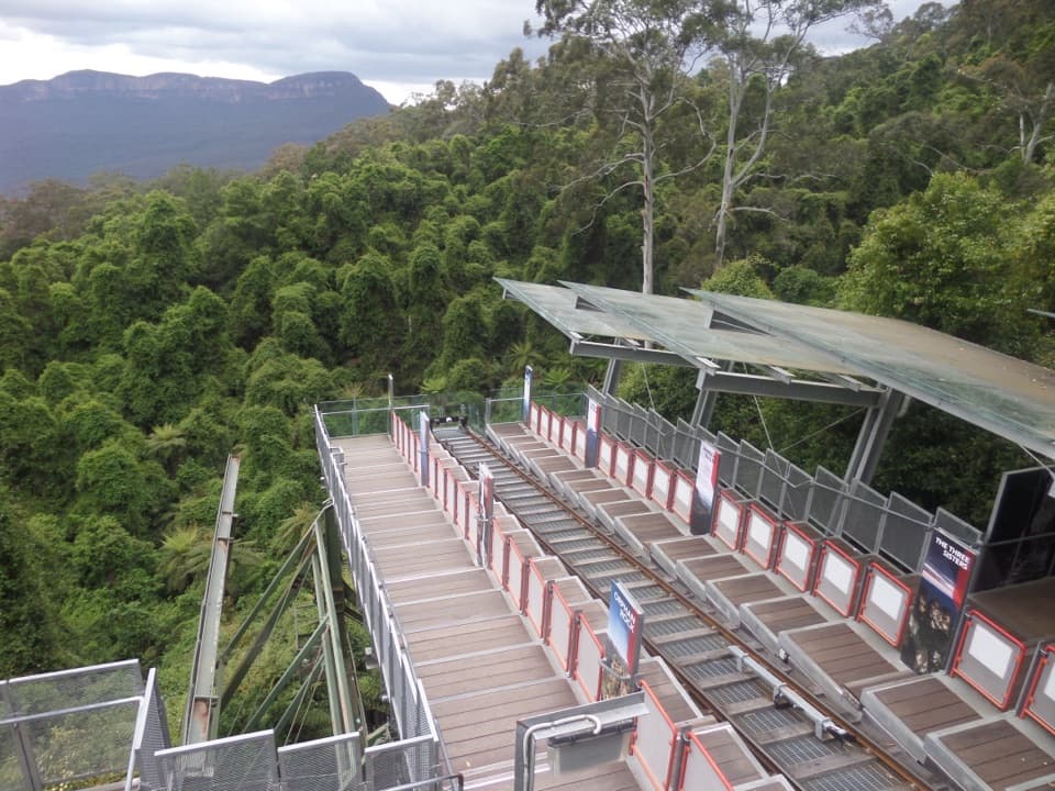 Sight · 2.3 km awayScenic WorldThree rides, rainforest boardwalks, and close views into Jamison Valley
 Sight · 2.7 km awayKatoomba FallsA stepped gorge loop pairs a waterfall with a Three Sisters view.Campground · 2.7 km awayRuined Castle campgroundA remote overnight base for a steep walk to Jamison Valley views.
 Sight · 2.7 km awayCliff View LookoutQuick walk for broad Kedumba Valley views beneath the Skyway
Parkwolf’s Blue Mountains ranking

The audio tour guide for the drive, plus offline maps, trails, and wildlife heatmaps for when the signal drops.




