
All Gros Morne trails
25 trails
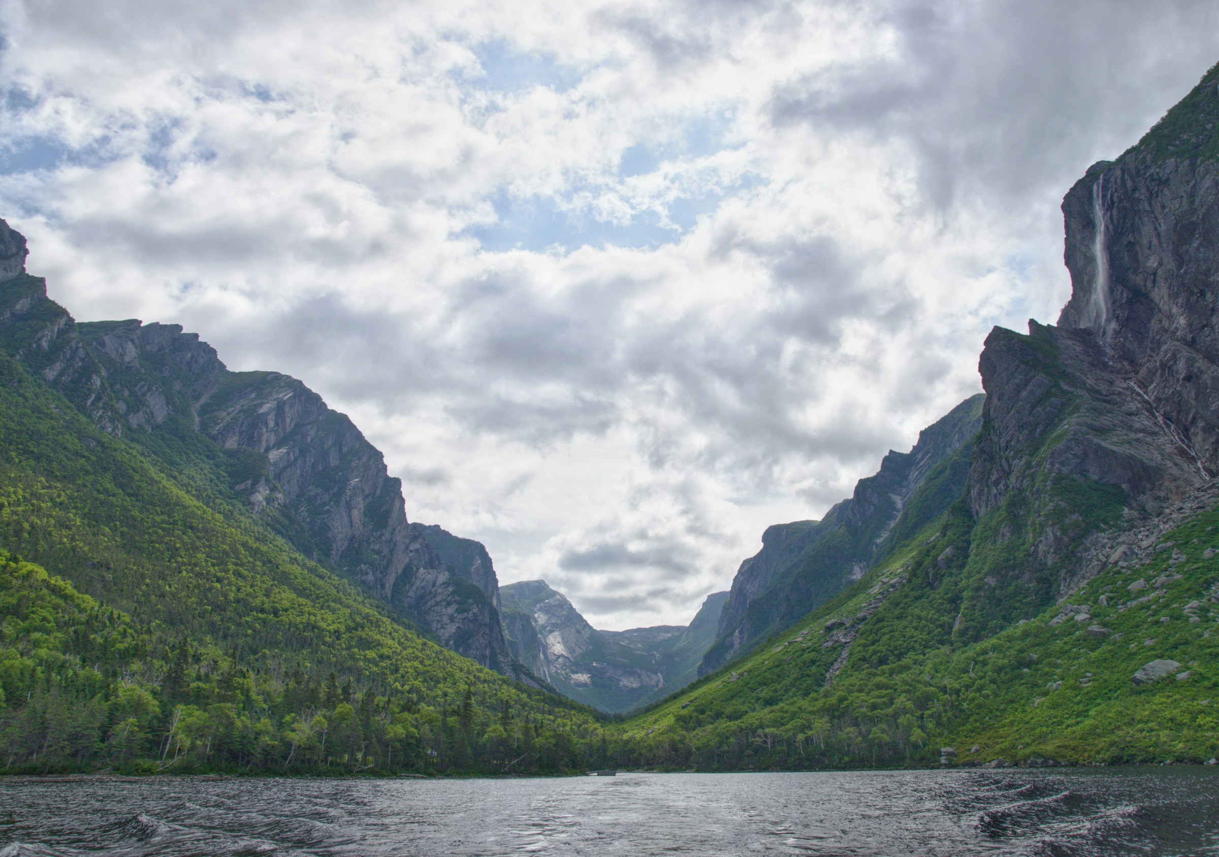
 1Gros Morne Mountain TrailWaterfalls, a bare alpine summit, and a boulder-strewn descent.
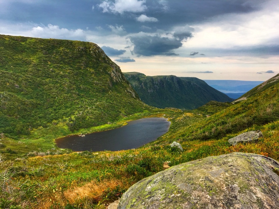
 2Western Brook Pond TrailAn easy walk to the foot of a fjord's cliffs.
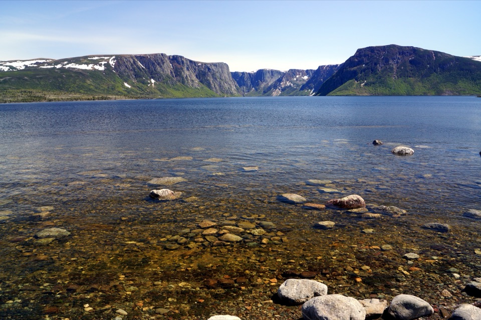
 3Tablelands TrailA short roadbed walk past mantle rock to a glacial canyon.
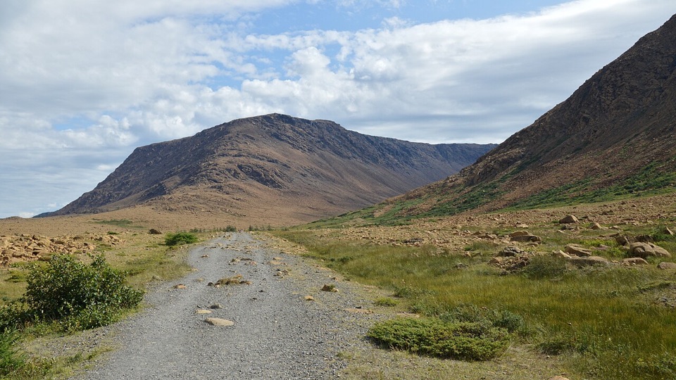
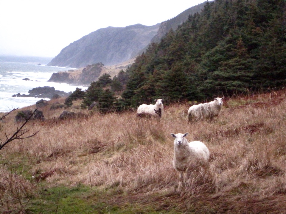 4Green Gardens TrailSerpentine barrens give way to sea stacks, meadows, and a pebble beach.
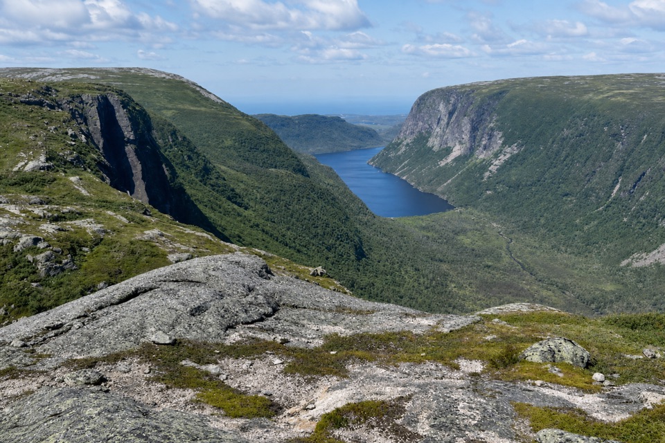 5Long Range TraverseA rugged, unmarked crossing for skilled wilderness navigators.
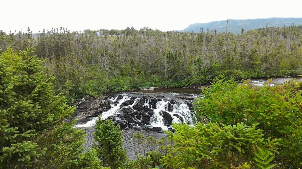 6Baker's Brook Falls TrailA quiet forest walk ends at limestone staircase cascades.
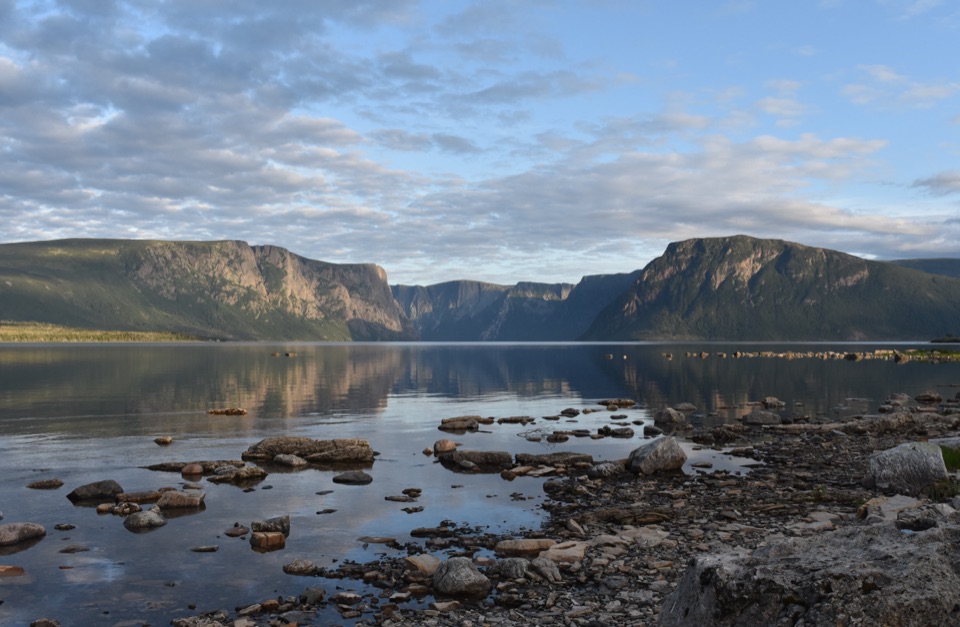 7Northern TraverseThree nights across unmarked ridges, bog, and wind-shaped tuckamore.
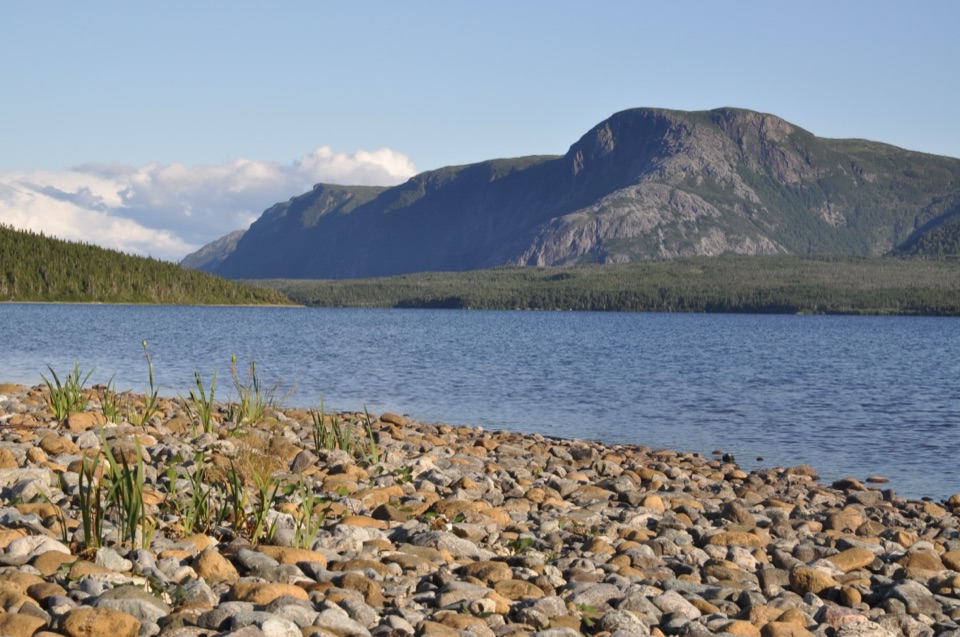 8Trout River Pond TrailFollow the north shore to Tablelands barrens and a glacial valley.
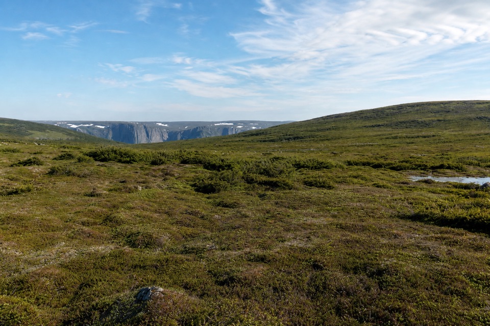 9Snug Harbour to North RimTwo days to a cliff-top view above Western Brook Pond.
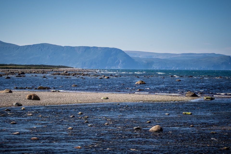 10Coastal TrailFollow the old mail road between cobble shore and wind-shaped tuckamore.
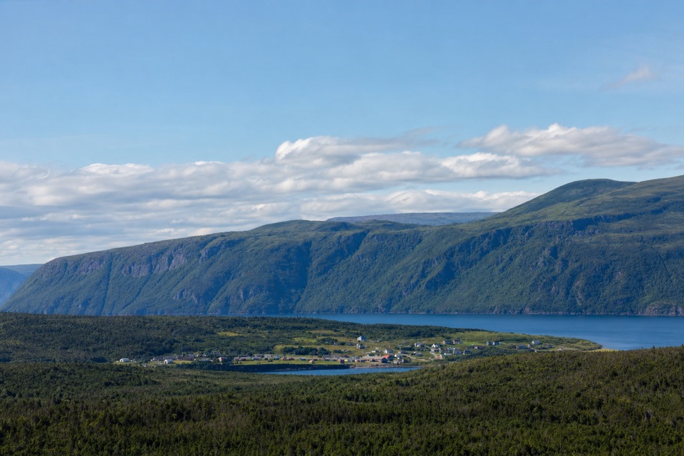 11Berry Hill TrailSteep little climb, wide views over ponds and coastal lowlands
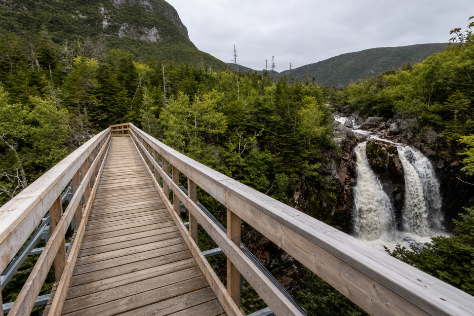 12Gros Morne Approach TrailA waterfall bridge marks the halfway point to the mountain’s base.
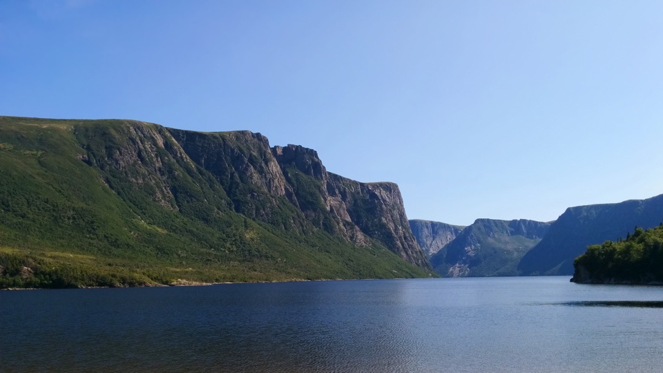 13Snug Harbour TrailA muddy, unmarked hike to the foot of 650-metre fjord cliffs.
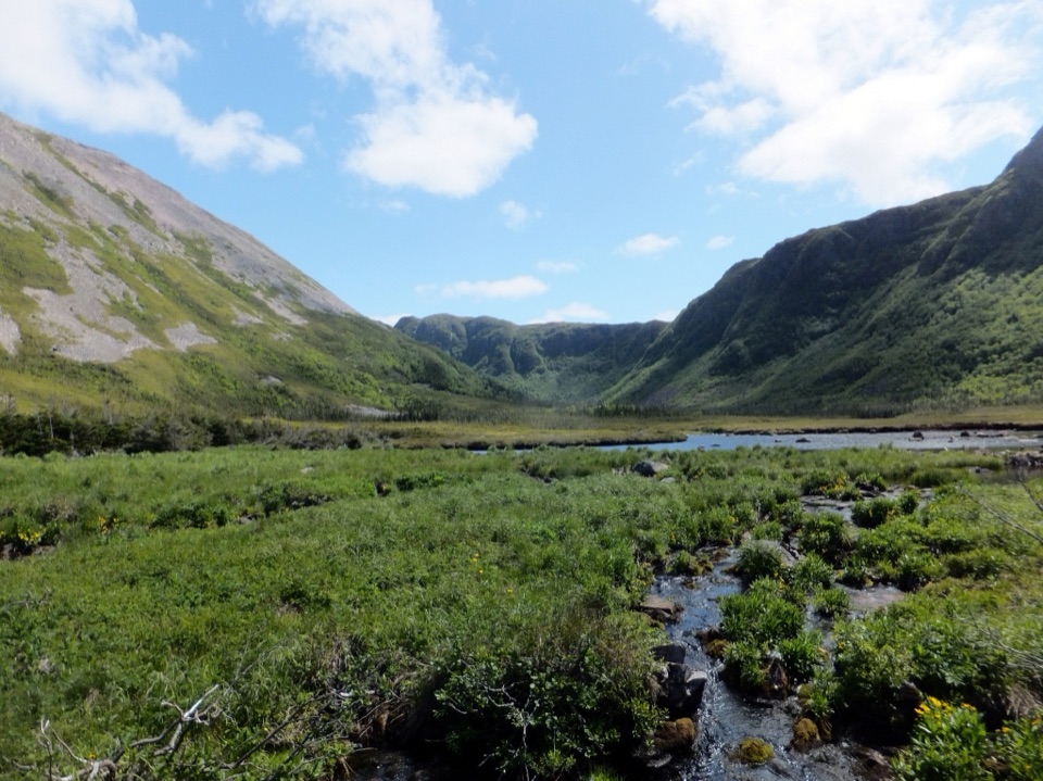 14Ferry Gulch to Bakeapple PondTwo days of unmarked hiking to a view over Ten Mile Pond.
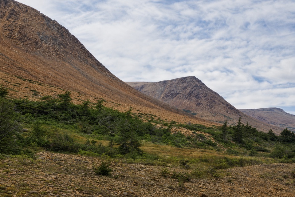 15Serpentine LoopA winding path through mantle rock and tiny Tablelands plants.
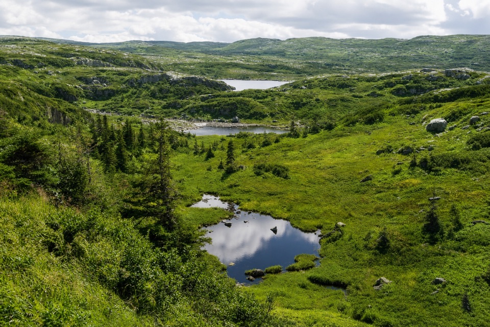 16Combined Northern and Long Range TraverseA 60-km wilderness crossing over bog, ridges, and tuckamore.
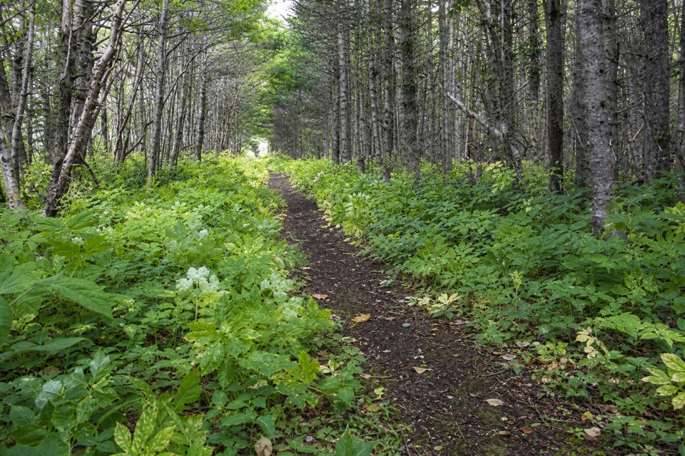 17Old Mail Road Trail2 km return on the historic mail road to Slants River.
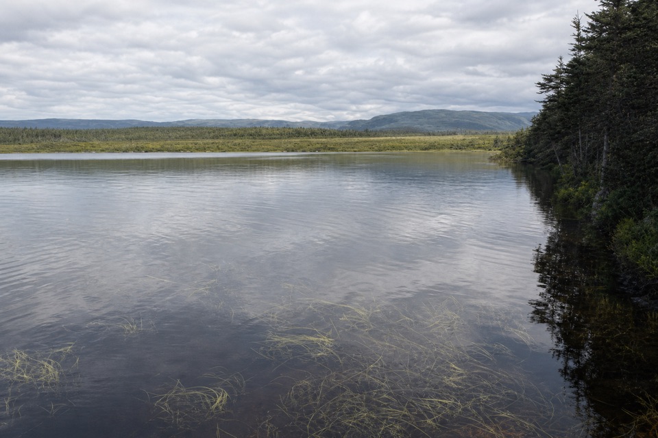 18Berry Head Pond TrailA short boardwalk gives way to a quiet pond loop.
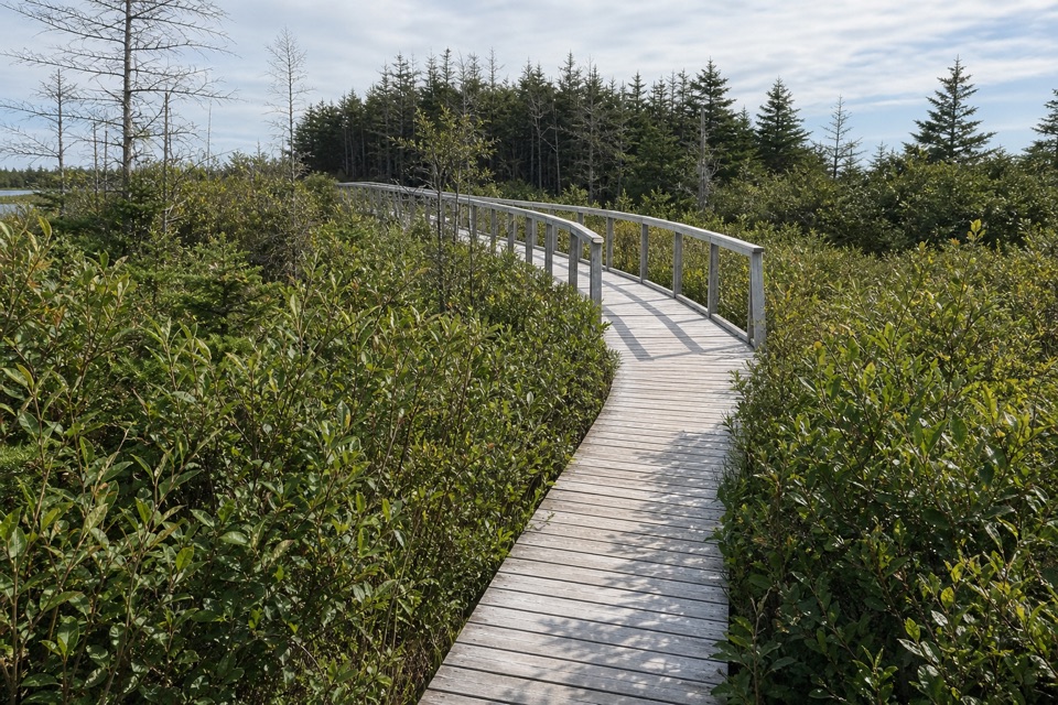 19Berry Head Pond Trail: Wheelchair Accessible SectionA short boardwalk opens onto pond and bogland views.
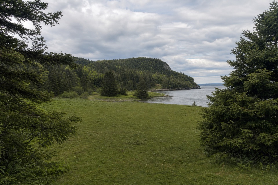 20Stanleyville TrailFollow an old logging road to a quiet cove and lost settlement.
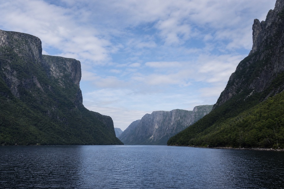 21Western Brook Pond Trail: Scenic LoopA lowland shoreline circuit reaches a fjord framed by cliffs.
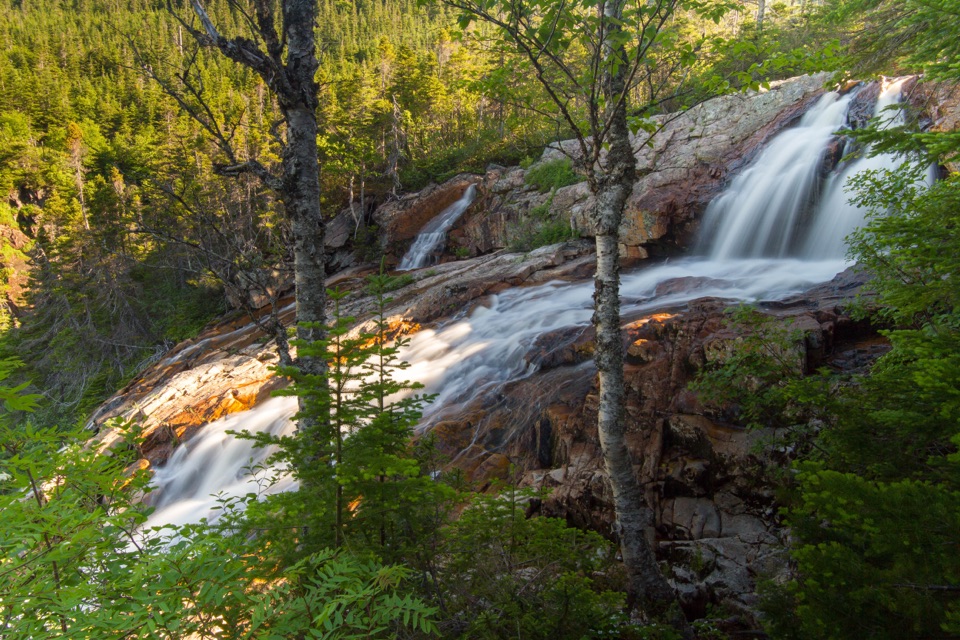 22Southeast Brook Falls TrailA quick forest walk to the top of a 40-metre waterfall.
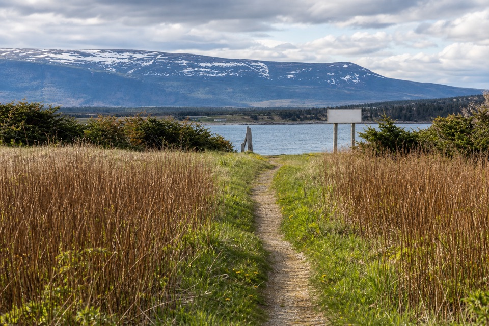 23Steve's TrailA short tuckamore walk opens to Western Brook’s coastal mouth.
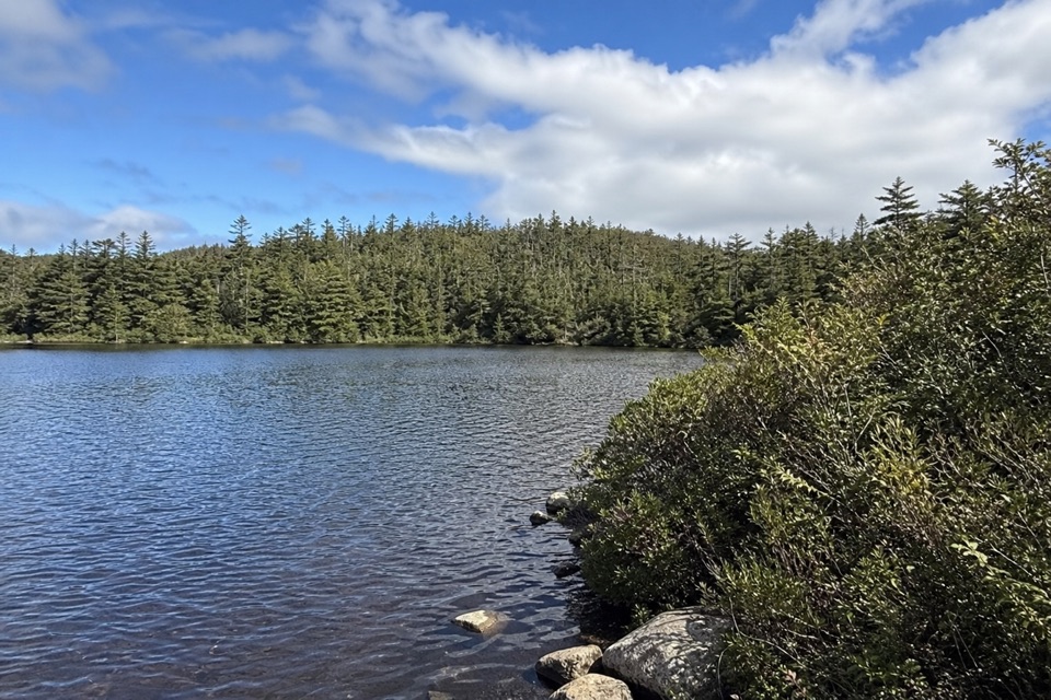 24Little Pond LoopA wooded pond loop off Baker’s Brook’s waterfall trail.
 25Mattie Mitchell TrailShort woods loop to a quiet brook and local history.
The highest, rockiest slopes around here are a summer buffet for grizzly bears.
Gros Morne Tour Guide
Gros Morne, narrated.
Parkwolf is a GPS audio tour guide for Gros Morne National Park. As you drive, it chimes in with what’s ahead: hidden gems, upcoming stops, history, geology, and wildlife, right through your car’s speakers.
Recorded for this place
Western Brook Pond and the Fjord0:00 / 0:38
“You're coming up on the Western Brook Pond trailhead. Reaching the water takes a roughly six-kilometre return walk on a mostly level gravel path through bog and forest, so this isn't a quick roadside view.”
Plays as you drive up to Western Brook Pond in the Parkwolf Gros Morne Tour Guide.
- 87 audio storiesacross Gros Morne’s roads, triggered by GPS as you drive
- Wildlife heatmapsfor Moose, Caribou, Black Bear, and 13 more
- Works offlinemaps, 25 trails, 58 places, and audio download before you lose signal
- CarPlay readysimple controls built for the drive
“Fantastic app with many points of information… It’s great to just turn on while you’re driving and it gives you an audio tour of the national Park. We love it!!!!”

