Parking
Start at the public car park at El Portillo Visitor Centre on TF-21, around kilometre 32.1. The centre has public toilets; parking capacity and fee were not published.
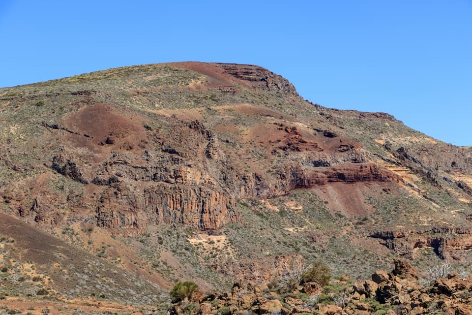
Teide National Park, TF
A volcanic loop from pumice slopes to black cinder cones.
Overview
PNT 02 Arenas Negras is a 5-mile (8.05 km) loop from El Portillo Visitor Centre, circling Montaña del Cerrillar before returning on PNT 04 Siete Cañadas. Allow about three hours for roughly 330 m of climbing at 2,050–2,300 m elevation. The park calls it low difficulty, but a steep descent and loose volcanic footing make it feel more like a steady moderate hike. Choose it for a close look at the caldera’s pumice slopes and dark cinder cones, not for shade or an easy stroll.
 Parkwolf’s verdictIs this the loop for you?
Map & elevation
Plan your hike

The highest, rockiest slopes around here are a summer buffet for grizzly bears.
Teide Tour Guide
Parkwolf is a GPS audio tour guide for Teide National Park. As you drive, it chimes in with what’s ahead: hidden gems, upcoming stops, history, geology, and wildlife, right through your car’s speakers.
Recorded for this trailhead
El Portillo Visitor Centre and Garden“El Portillo Visitor Centre is ahead, with a recreated volcanic tunnel inside and a botanical garden next door. Stop if you'd like a closer look at the plants living in this high country without taking on a long hike.”
Plays as you drive up to this trailhead in the Parkwolf Teide Tour Guide.
More stories near here in the app
“Fantastic app with many points of information… It’s great to just turn on while you’re driving and it gives you an audio tour of the national Park. We love it!!!!”


Trail guide
From El Portillo the marked path climbs beside Montaña del Cerrillar, threading through pumice with clumps of Teide white broom. It reaches an open high section with wide views across the park and Llano de Maja. Look east for the Izaña observatories; on a clear day La Palma can appear to the west. Trade winds sometimes bank a sea of cloud over the Orotava Valley, though visibility changes quickly up here.
As the route turns west, the Fortaleza ridge comes into view and the rocky gorge and wall of Risco de las Ventanas rise ahead. Layered volcanic cliffs and scrub-covered slopes give this section a different feel from the broad pumice ground above. The formation sits just off the mapped line but is visible from the route. For a photo, frame the rock wall with some of the rough slope at its base so the layers have scale.
The route descends along the caldera side beside the sparsely vegetated Arenas Negras lapilli cones. This is the steepest part: short sections reach a reported 60% gradient, and the uneven loose rock needs careful footing. The route’s general grade is manageable, but this descent is the part to take slowly, especially when you are tired. Stay on the marked track and do not cut across the fragile volcanic ground.
The loop joins PNT 04 Siete Cañadas for its return to El Portillo. That connection is part of the complete 5-mile circuit, not an optional add-on or a separate out-and-back. The marked PNT 02 line is a full loop, so follow the route markers at the junction rather than continuing along PNT 04.
The pumice and cinder carry several high-country plants, including Teide white broom, Teide sticky broom, rosalillo de cumbre and flixweed. Chiffchaffs, kestrels and Berthelot’s pipits are most likely in the flatter sections. These are small details in a wide, open landscape; stay on the path and leave plants, rocks and wildlife undisturbed.
Begin and finish at El Portillo Visitor Centre on TF-21, around kilometre 32.1. Public parking and toilets are at the centre, with a restaurant nearby; no water point or toilet is listed along the loop, so carry what you need for three hours. Regular access is free and PNT 02 does not require a reservation. The route is not accessible for visitors with reduced mobility.
Wildlife
 15 sightingsShort-finned Pilot WhaleMost seen around 9 AMSighting map
 829 sightingsTenerife LizardMost seen around 11 AMSighting map
 11 sightingsWest Canary SkinkMost seen around 11 AMSighting map
 98 sightingsTenerife Blue ChaffinchMost seen around 8 AMSighting map
 45 sightingsKestrelMost seen around 10 AMSighting map
 10 sightingsBarbary PartridgeMost seen around 7 AMSighting map
Sighting maps show where each species has been reported across Teide. Wildlife moves, so no sighting is guaranteed.
Keep exploring
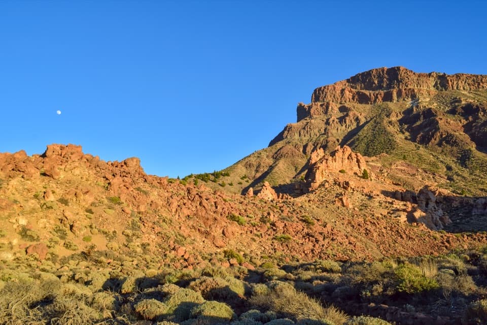 ModeratePNT 04 Siete Cañadas Trail16.6 km · 4.5 hr · At the trailheadA long volcanic crossing beneath the caldera wall.
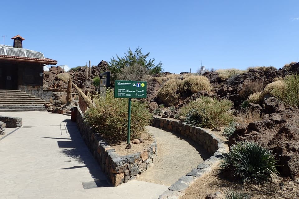 EasyEl Portillo–Mirador del Teide Accessible Trail0.6 km · 25 min · At the trailheadA short accessible walk ends at a view of Teide's east face.EasyJardín Botánico Wolfredo Wildpret Circular Trail0.8 km · 25 min · At the trailheadA short, accessible loop among Tenerife’s high-altitude plants.
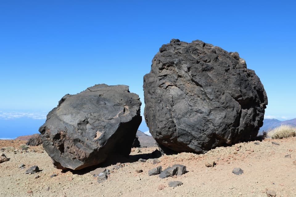 ChallengingHuevos del Teide and Montaña Blanca Loop20 km · 6.5 hr · At the trailheadA high volcanic loop passes Montaña Blanca’s black lava eggs.
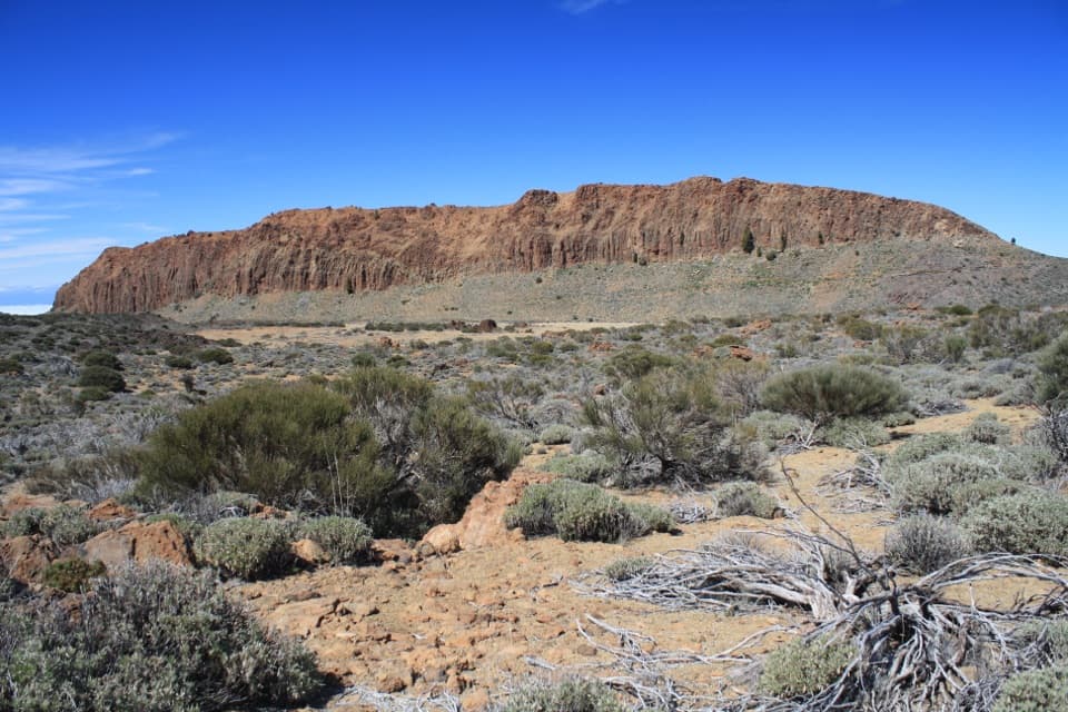 EasyPNT 01 La Fortaleza Trail5.5 km · 2.3 hr · At the trailheadA high-altitude one-way walk to La Fortaleza’s rust-red wall.
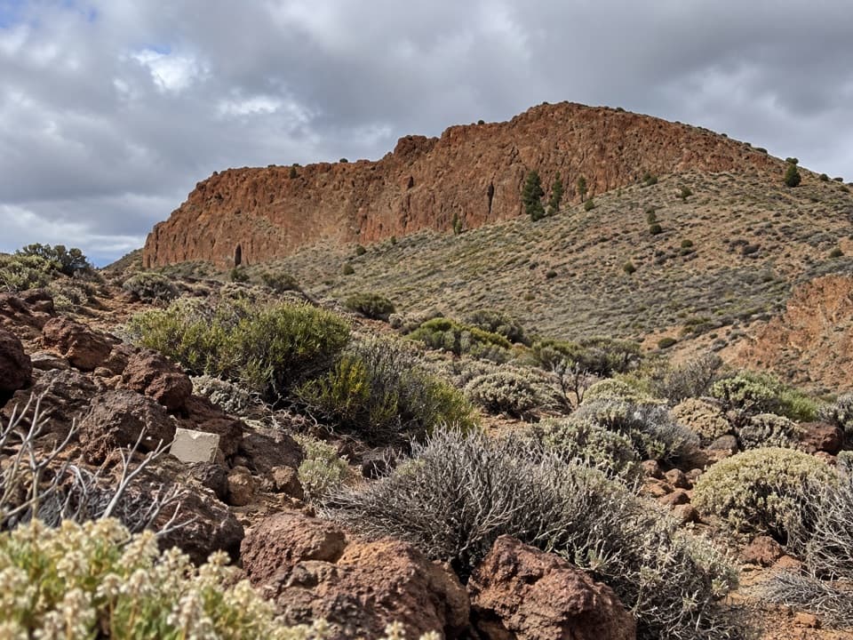 ModeratePNT 06 Montaña de los Tomillos5.1 km · 2.5 hr · 0.8 km awayAn old Teide ascent across pumice to a dark volcanic cone.
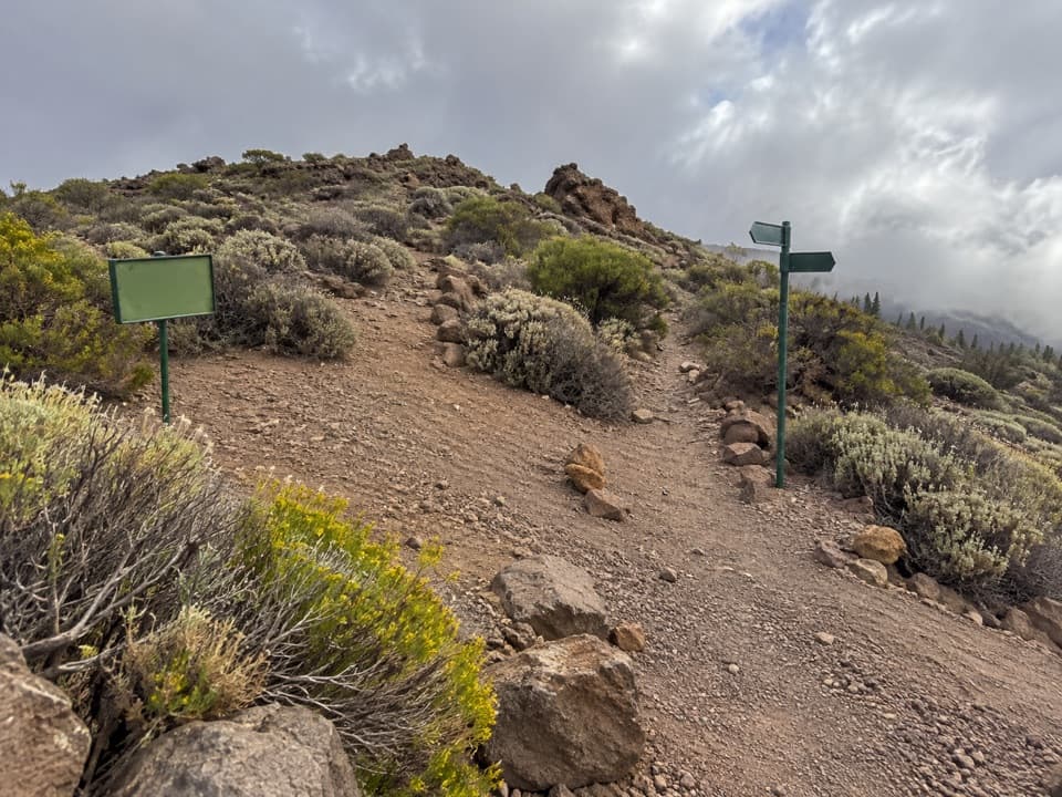 EasyPNT 24 Portillo Alto Trail1.5 km · 40 min · 0.8 km awayA short traverse with wide northern views and little climbing.
 ModeratePNT 14 Alto de Guamaso Trail2.9 km · 1.4 hr · 0.8 km awayA volcanic cone walk with a route through its crater.
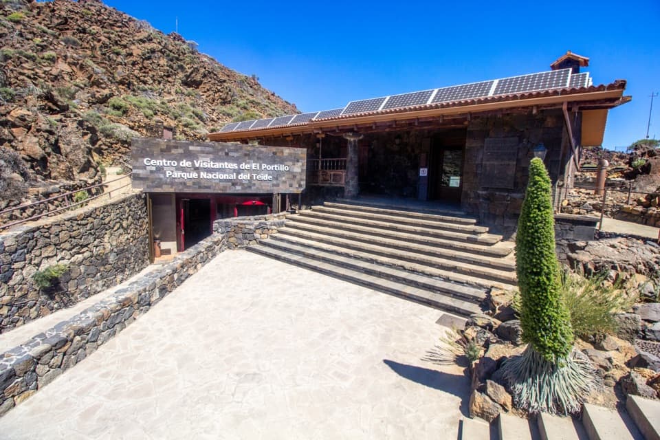 Visitor center · 0.1 km awayEl Portillo Visitor CenterA volcanic-tunnel reconstruction makes Teide’s origins easier to picture.
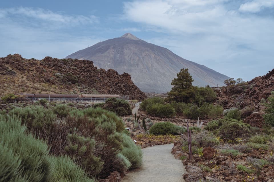 Sight · 0.1 km awayEl Portillo Botanical GardenSee Teide’s hard-to-find high-mountain plants in one stop.
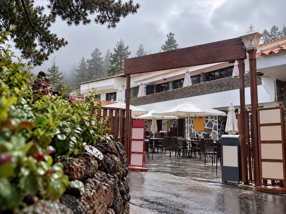 Restaurant · 0.3 km awayRestaurante El PortilloA high-road stop for Canarian goat and rabbit with salmorejo.Sight · 0.8 km awayAlto de Guamaso ViewpointA brief accessible walk reaches stone seats beneath volcanic slopes.
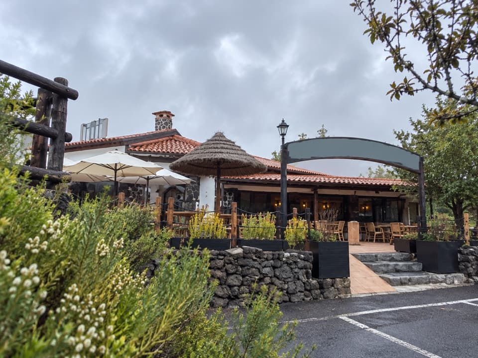 Restaurant · 1 km awayRestaurante PapillonA meal on the terrace comes with Teide views on clear days.
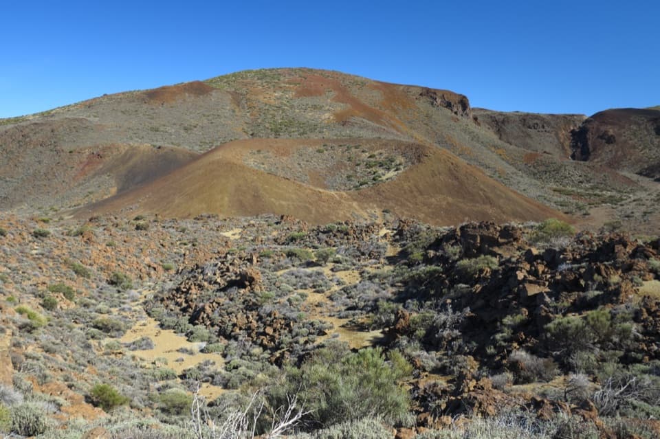 Sight · 1 km awayArenas Negras ViewpointA short walk to the volcanic cone locals call the hen's seat.
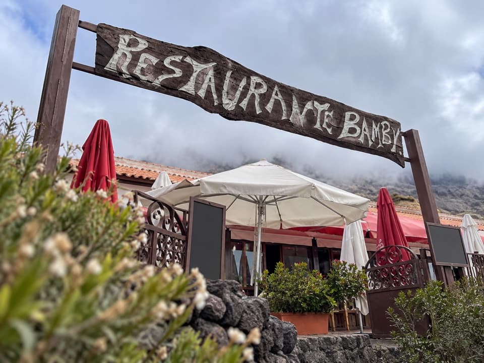 Restaurant · 1.1 km awayRestaurante 7 CañadasA terrace meal stop with views toward Teide.
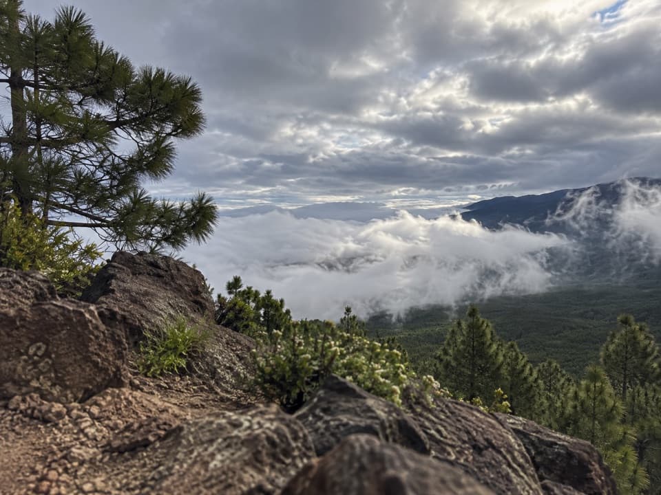 Sight · 2.8 km awayEl Cabezón ViewpointA high ridge looks out across the Orotava Valley.
Parkwolf’s Teide ranking
The audio tour guide for the drive, plus offline maps, trails, and wildlife heatmaps for when the signal drops.





