Parking
Start at El Portillo Visitor Centre and cross TF-21 carefully to the trail. Parking is listed at both El Portillo and the Parador endpoint. TITSA bus stops serve both ends; check routes 342/348 times before relying on transit.
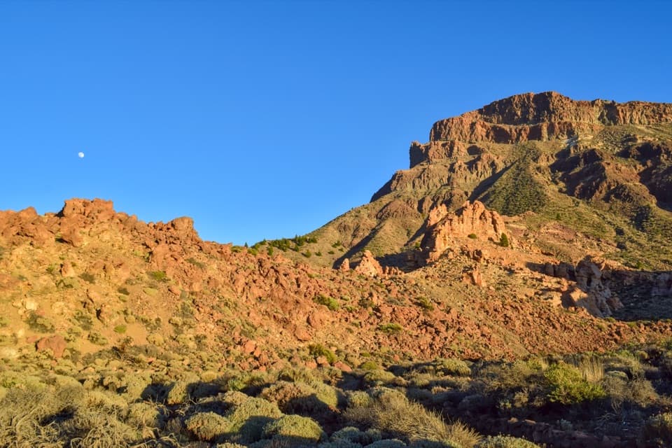
#10 of 62 trails in Teide
Teide National Park, TF
A long volcanic crossing beneath the caldera wall.
Overview
Map & elevation
Plan your hike

The highest, rockiest slopes around here are a summer buffet for grizzly bears.
Teide Tour Guide
Parkwolf is a GPS audio tour guide for Teide National Park. As you drive, it chimes in with what’s ahead: hidden gems, upcoming stops, history, geology, and wildlife, right through your car’s speakers.
Recorded for this trailhead
El Portillo Visitor Centre and Garden“El Portillo Visitor Centre is ahead, with a recreated volcanic tunnel inside and a botanical garden next door. Stop if you'd like a closer look at the plants living in this high country without taking on a long hike.”
Plays as you drive up to this trailhead in the Parkwolf Teide Tour Guide.
More stories near here in the app
“Fantastic app with many points of information… It’s great to just turn on while you’re driving and it gives you an audio tour of the national Park. We love it!!!!”


Trail guide
PNT 04 Siete Cañadas is a 16.6 km (10.3 mile) one-way traverse from El Portillo Visitor Centre to the Parador de Turismo. It follows a continuous dirt track across the open highland basins at the foot of Teide’s caldera wall, along part of the old Camino Real de Chasna. Allow about four and a half hours for the walk itself. It climbs about 412 m and descends about 319 m, but stays above 2,000 m; this is a long high-altitude outing rather than a steep summit climb.
You end far from where you start, so plan a return before setting off. Parking is listed at both El Portillo and the Parador, and TITSA buses 342 and 348 serve stops at both ends; check their timetable before relying on the bus. The track begins across TF-21 from the visitor centre, so cross the main road carefully. No reservation is normally required for this route.
The route passes Cañada de Diego Hernández, Las Pilas, La Angostura, La Grieta, Montón de Trigo, La Mareta and, near the end, El Capricho before reaching the Parador. “Cañada” here means one of the broad plains or depressions in the caldera. Small rises and dips link them; the path is not especially steep, and dark-green PNT 04 waymarkers identify the route. Keep to the marked track where it meets paths used by bicycles, horses or vehicles.
Near Diego Hernández, dark basalt lava bands contrast with paler yellow deposits formed from acidic magma during powerful eruptions. The caldera wall and views back toward Teide recur along this long traverse, so the walk’s reward is the changing volcanic landscape rather than a single summit viewpoint. At Cañada del Capricho, look for the yellow rock towers of Piedras Amarillas with Guajara rising behind them; that layered view makes a distinctive photo stop.
Siete Cañadas follows part of the Camino Real de Chasna, a north-to-south crossing used before the Spanish conquest. The historic track connected communities on opposite sides of the island through the highlands; the modern route still makes that long crossing legible on foot. Remains of old shepherd shelters can also be seen along the way.
The high-altitude flora includes endemic buglosses. Blue spicy bugloss can flower in June, while red bugloss sends up stems as tall as two metres. The walk finishes beside Cañada Blanca and the Parador, where the small chapel of Nuestra Señora de las Nieves dates to 1954. El Portillo’s four-hectare botanical garden is a separate nearby stop if you want to learn more about native plants.
There is no shade or potable water along the route, and no food stop was confirmed on the walk. Carry enough water and food for the full distance. The trail’s guidance also flags loose rocks and uneven ground, and asks walkers to watch for bicycles, horses and motor traffic on shared sections.
Wildlife
 15 sightingsShort-finned Pilot WhaleMost seen around 9 AMSighting map
 829 sightingsTenerife LizardMost seen around 11 AMSighting map
 11 sightingsWest Canary SkinkMost seen around 11 AMSighting map
 98 sightingsTenerife Blue ChaffinchMost seen around 8 AMSighting map
 45 sightingsKestrelMost seen around 10 AMSighting map
 10 sightingsBarbary PartridgeMost seen around 7 AMSighting map
Sighting maps show where each species has been reported across Teide. Wildlife moves, so no sighting is guaranteed.
Keep exploring
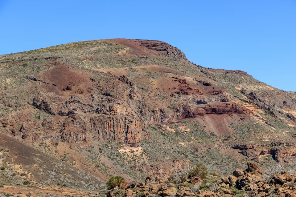 ModeratePNT 02 Arenas Negras Loop Trail8 km · 3 hr · At the trailheadA volcanic loop from pumice slopes to black cinder cones.
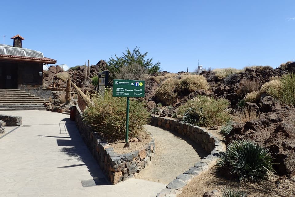 EasyEl Portillo–Mirador del Teide Accessible Trail0.6 km · 25 min · At the trailheadA short accessible walk ends at a view of Teide's east face.EasyJardín Botánico Wolfredo Wildpret Circular Trail0.8 km · 25 min · At the trailheadA short, accessible loop among Tenerife’s high-altitude plants.
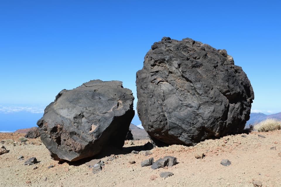 ChallengingHuevos del Teide and Montaña Blanca Loop20 km · 6.5 hr · At the trailheadA high volcanic loop passes Montaña Blanca’s black lava eggs.
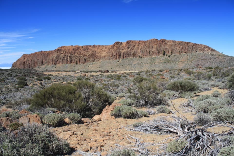 EasyPNT 01 La Fortaleza Trail5.5 km · 2.3 hr · At the trailheadA high-altitude one-way walk to La Fortaleza’s rust-red wall.
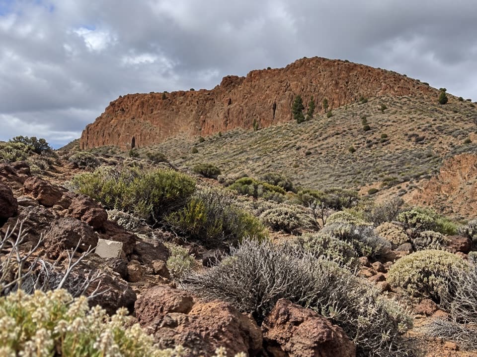 ModeratePNT 06 Montaña de los Tomillos5.1 km · 2.5 hr · 0.8 km awayAn old Teide ascent across pumice to a dark volcanic cone.
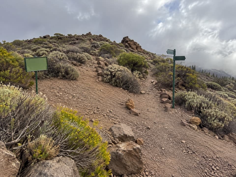 EasyPNT 24 Portillo Alto Trail1.5 km · 40 min · 0.8 km awayA short traverse with wide northern views and little climbing.
 ModeratePNT 14 Alto de Guamaso Trail2.9 km · 1.4 hr · 0.8 km awayA volcanic cone walk with a route through its crater.
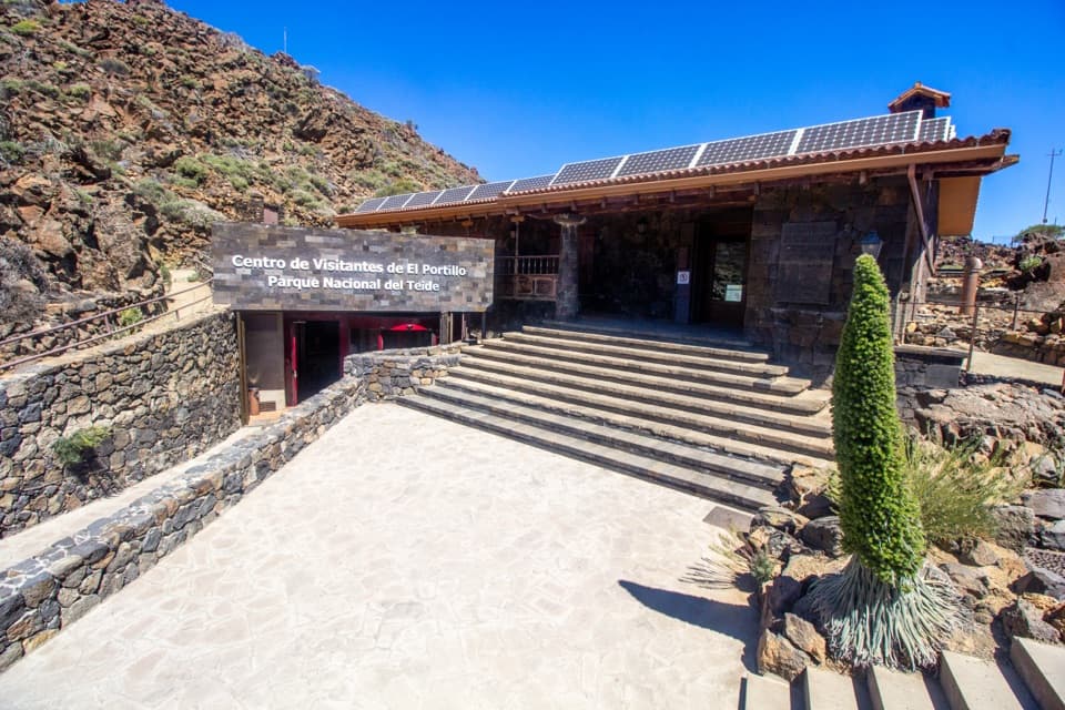 Visitor center · 0.1 km awayEl Portillo Visitor CenterA volcanic-tunnel reconstruction makes Teide’s origins easier to picture.
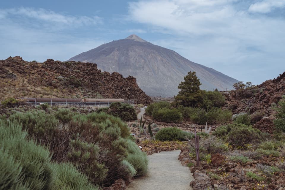 Sight · 0.1 km awayEl Portillo Botanical GardenSee Teide’s hard-to-find high-mountain plants in one stop.
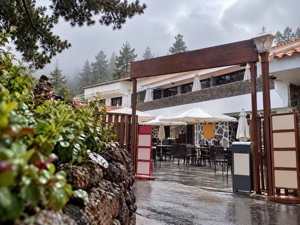 Restaurant · 0.3 km awayRestaurante El PortilloA high-road stop for Canarian goat and rabbit with salmorejo.Sight · 0.8 km awayAlto de Guamaso ViewpointA brief accessible walk reaches stone seats beneath volcanic slopes.
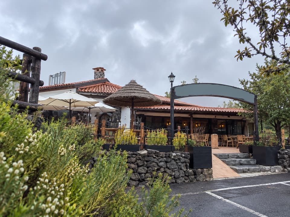 Restaurant · 1 km awayRestaurante PapillonA meal on the terrace comes with Teide views on clear days.
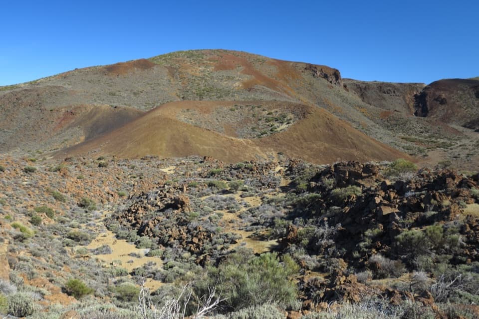 Sight · 1 km awayArenas Negras ViewpointA short walk to the volcanic cone locals call the hen's seat.
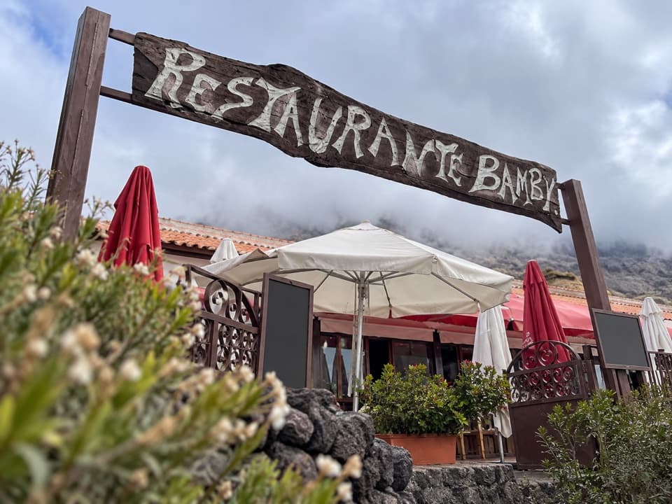 Restaurant · 1.1 km awayRestaurante 7 CañadasA terrace meal stop with views toward Teide.
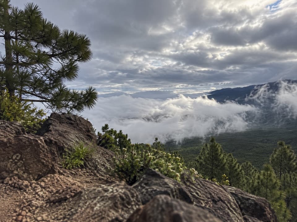 Sight · 2.8 km awayEl Cabezón ViewpointA high ridge looks out across the Orotava Valley.
Parkwolf’s Teide ranking

The audio tour guide for the drive, plus offline maps, trails, and wildlife heatmaps for when the signal drops.





