Parking
Start at Mirador Alto de Guamaso beside TF-21 km 42.3; parking spaces are listed at the access, but no capacity is given. The mapped line ends at Portillo Bajo, so arrange your return before setting out.

#8 of 62 trails in Teide
Teide National Park, TF
A volcanic cone walk with a route through its crater.
Overview
Map & elevation
Plan your hike

The highest, rockiest slopes around here are a summer buffet for grizzly bears.
Teide Tour Guide
Parkwolf is a GPS audio tour guide for Teide National Park. As you drive, it chimes in with what’s ahead: hidden gems, upcoming stops, history, geology, and wildlife, right through your car’s speakers.
Recorded for this trailhead
Alto de Guamaso and Los Tagorores“Up ahead is Alto de Guamaso Viewpoint, beside a volcanic cone overlooking the pine-filled Orotava Valley. For a short stop, take the nearly level path to Los Tagorores, circular stone seats where you can pause.”
Plays as you drive up to this trailhead in the Parkwolf Teide Tour Guide.
More stories near here in the app
“Fantastic app with many points of information… It’s great to just turn on while you’re driving and it gives you an audio tour of the national Park. We love it!!!!”


Trail guide
PNT 14 Alto de Guamaso follows a 2.86 km (1.78 mi) one-way line from Mirador Alto de Guamaso to the Portillo Bajo road crossing. It circles Montaña de Guamaso, passes through its crater, and descends the far slope. Allow about 1 hour 25 minutes; the route profile records roughly 87 m of ascent and 133 m of descent. The payoff is a close look at a volcanic cone and a broad view over La Orotava Valley.
There is a genuine mismatch in the route information: the map line ends at Portillo Bajo, while the route notes also call PNT 14 circular, list the Mirador as both its start and finish, and describe a loop returning by the accessible approach. The 2.86 km line saved here follows the mapped one-way route to Portillo Bajo. Plan a return from that crossing before you start. The circular option is described separately, but no separate loop mileage is given.
The trail starts beside TF-21 at km 42.3. It first follows a former dead-end track that is now a 290 m accessible path to Los Tagorores, circular stone structures for resting and meeting. Beyond them, the walk circles the cone and cuts through its crater before continuing down the slope toward Portillo Bajo. The marked approach is short; it is not a measure of how accessible the full route is.
Montaña de Guamaso is a cone built from accumulated volcanic material. Large volcanic bombs, rounded blocks thrown out by eruptions, are scattered across its slopes. The trail moves from the route's smoother approach onto rougher ground with loose rocks, uneven footing and steeper sections. Stay on the marked path, especially where the tread crosses the cone's loose material.
The route opens onto views of La Orotava Valley, where a sea of clouds sometimes covers the lower slopes. Teide sits on the western skyline. From the far side of the cone, keep part of the reddish slope in the foreground if the clouds are out; it makes the crater landscape easier to read than a frame of distant peaks alone.
This is a good short walk for seeing the change from Canary Island pine forest to high-mountain scrub. The open upper slopes suit birds such as Berthelot's pipit and the spectacled warbler; the woodland edge adds blue chaffinches, blue tits, blackbirds and robins. They are possibilities, not guaranteed sightings.
Access is free and no reservation is required. Parking spaces are listed at the Mirador start, though no capacity is given. The route stays around 2,000 m and the uneven, sometimes steep ground makes it a moderate walk despite the short distance. Only the first 290 m is described as accessible for people with reduced mobility; the crater route is not.
Wildlife
 15 sightingsShort-finned Pilot WhaleMost seen around 9 AMSighting map
 829 sightingsTenerife LizardMost seen around 11 AMSighting map
 11 sightingsWest Canary SkinkMost seen around 11 AMSighting map
 98 sightingsTenerife Blue ChaffinchMost seen around 8 AMSighting map
 45 sightingsKestrelMost seen around 10 AMSighting map
 10 sightingsBarbary PartridgeMost seen around 7 AMSighting map
Sighting maps show where each species has been reported across Teide. Wildlife moves, so no sighting is guaranteed.
Keep exploring
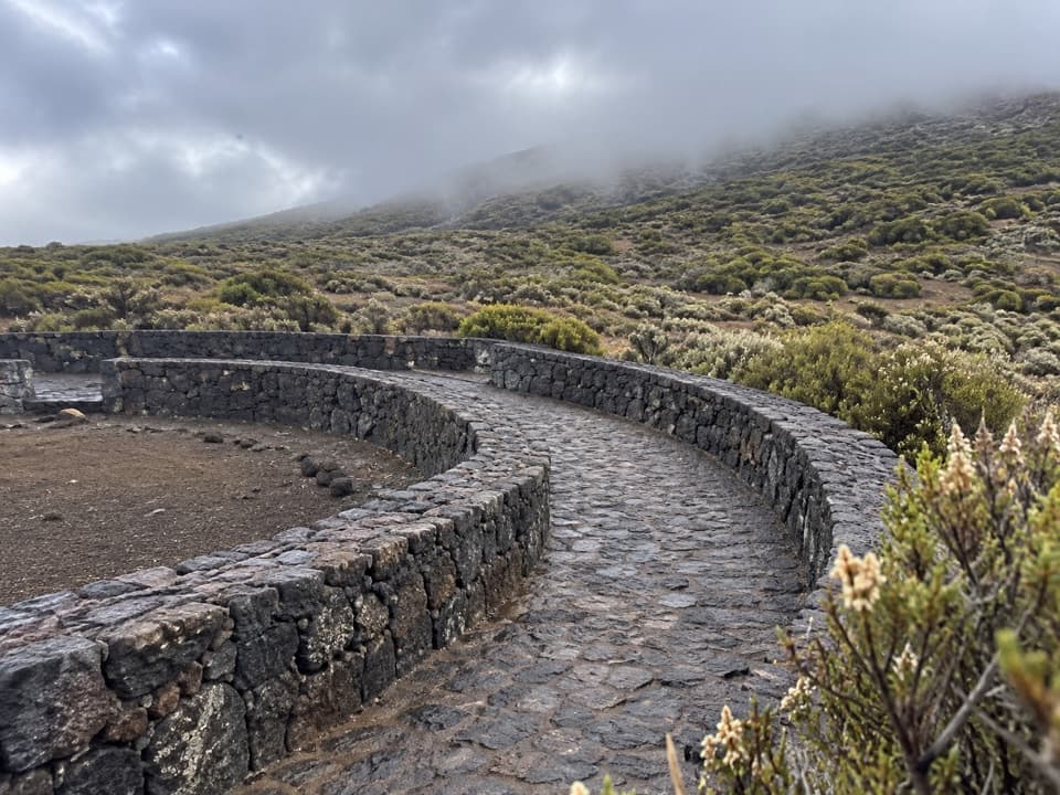 EasyAlto de Guamaso Accessible Trail to Los Tagorores0.6 km · 20 min · At the trailheadA short stone path passes Guamaso's lava bombs.
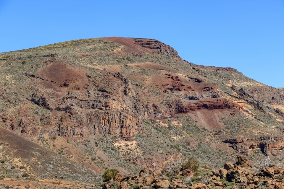 ModeratePNT 02 Arenas Negras Loop Trail8 km · 3 hr · 0.8 km awayA volcanic loop from pumice slopes to black cinder cones.
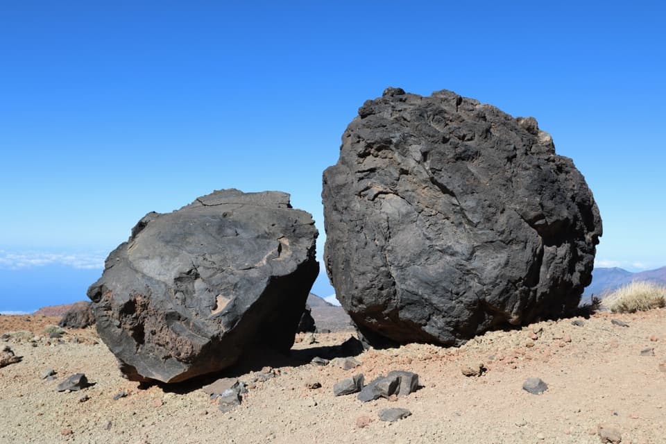 ChallengingHuevos del Teide and Montaña Blanca Loop20 km · 6.5 hr · 0.8 km awayA high volcanic loop passes Montaña Blanca’s black lava eggs.
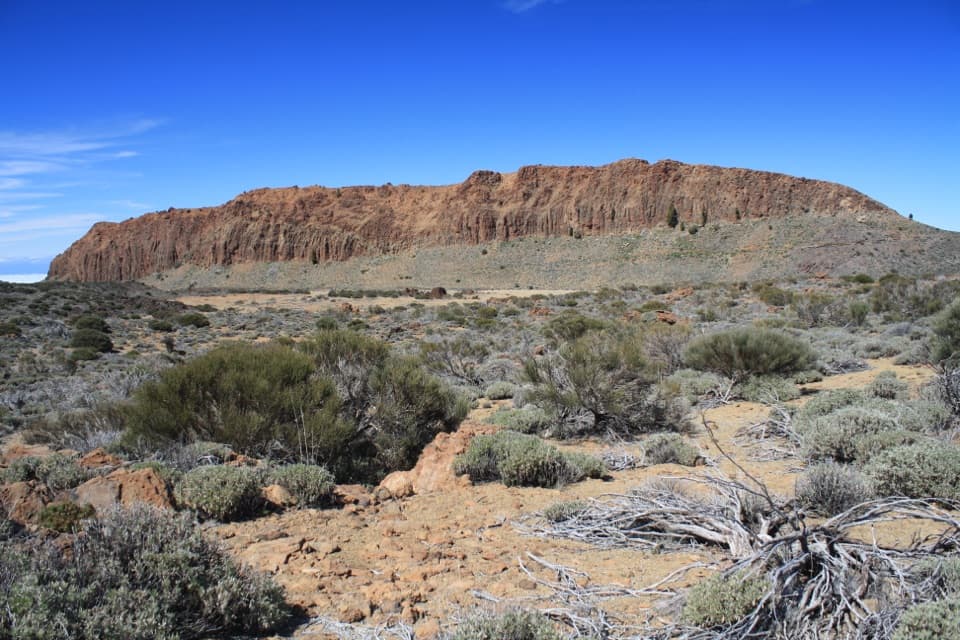 EasyPNT 01 La Fortaleza Trail5.5 km · 2.3 hr · 0.8 km awayA high-altitude one-way walk to La Fortaleza’s rust-red wall.
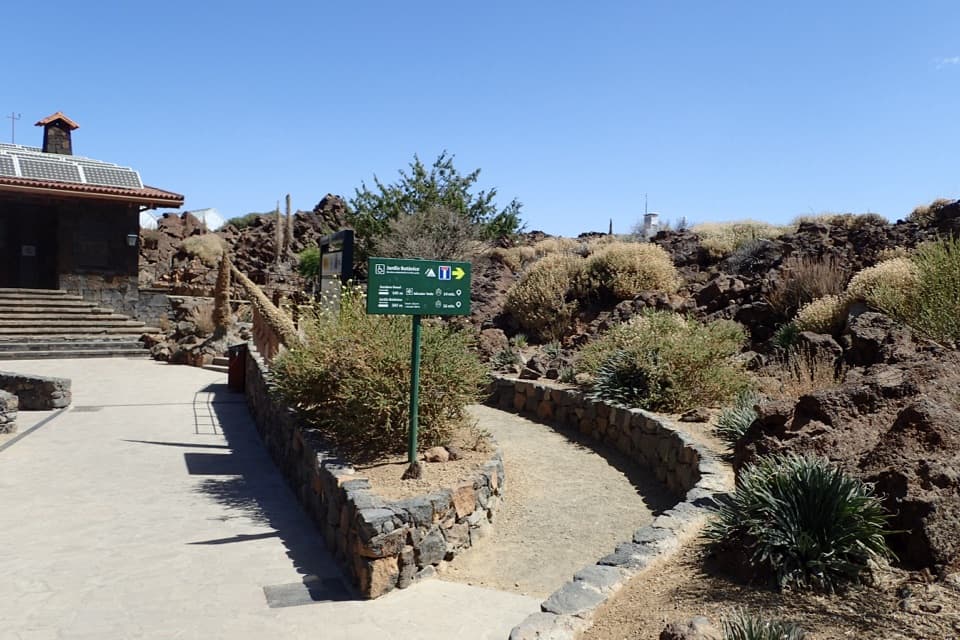 EasyJardín Botánico Wolfredo Wildpret Circular Trail0.8 km · 25 min · 0.8 km awayA short, accessible loop among Tenerife’s high-altitude plants.EasyEl Portillo–Mirador del Teide Accessible Trail0.6 km · 25 min · 0.8 km awayA short accessible walk ends at a view of Teide's east face.
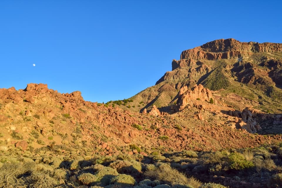 ModeratePNT 04 Siete Cañadas Trail16.6 km · 4.5 hr · 0.8 km awayA long volcanic crossing beneath the caldera wall.
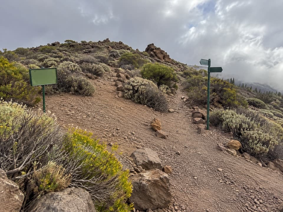 EasyPNT 24 Portillo Alto Trail1.5 km · 40 min · 1.3 km awayA short traverse with wide northern views and little climbing.Sight · At the trailheadAlto de Guamaso ViewpointA brief accessible walk reaches stone seats beneath volcanic slopes.
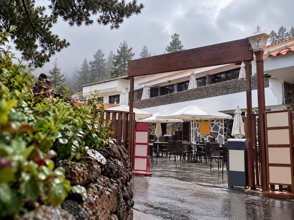 Restaurant · 0.7 km awayRestaurante El PortilloA high-road stop for Canarian goat and rabbit with salmorejo.
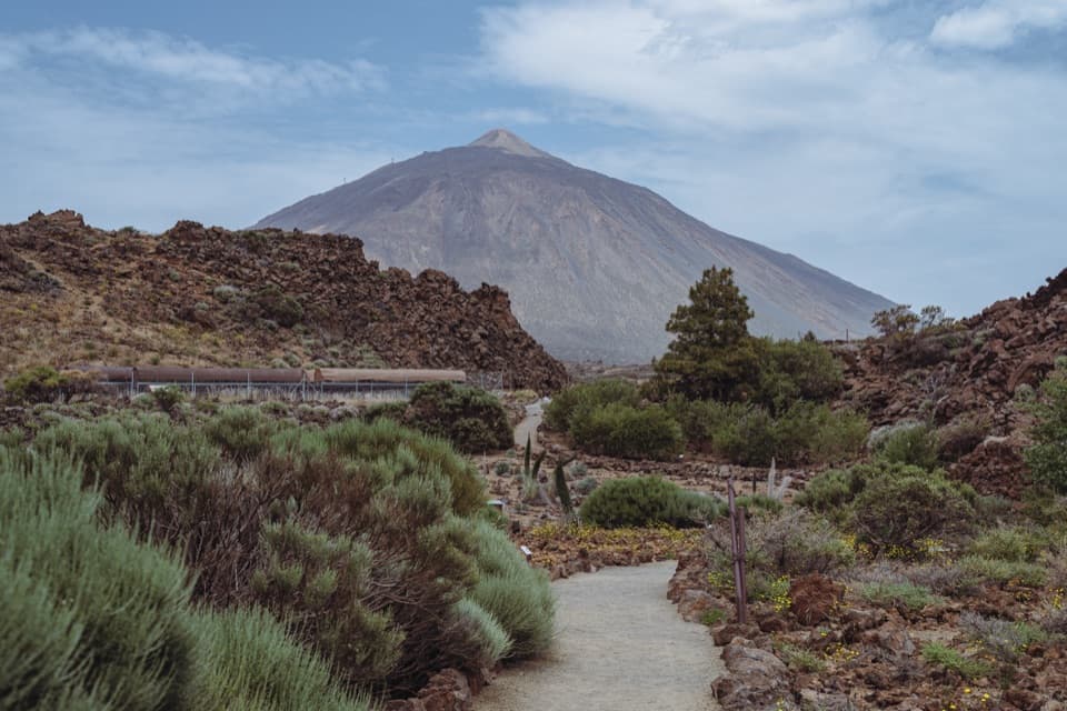 Sight · 0.8 km awayEl Portillo Botanical GardenSee Teide’s hard-to-find high-mountain plants in one stop.
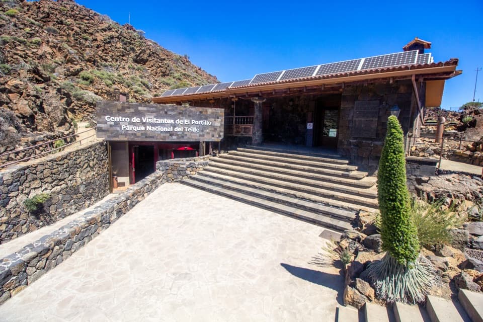 Visitor center · 0.9 km awayEl Portillo Visitor CenterA volcanic-tunnel reconstruction makes Teide’s origins easier to picture.
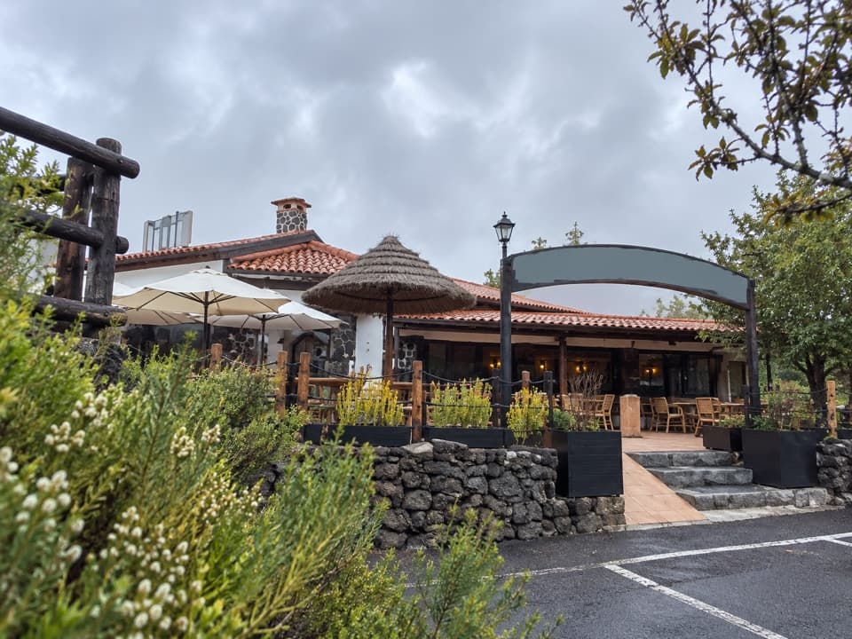 Restaurant · 1.4 km awayRestaurante PapillonA meal on the terrace comes with Teide views on clear days.
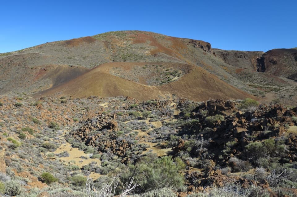 Sight · 1.4 km awayArenas Negras ViewpointA short walk to the volcanic cone locals call the hen's seat.
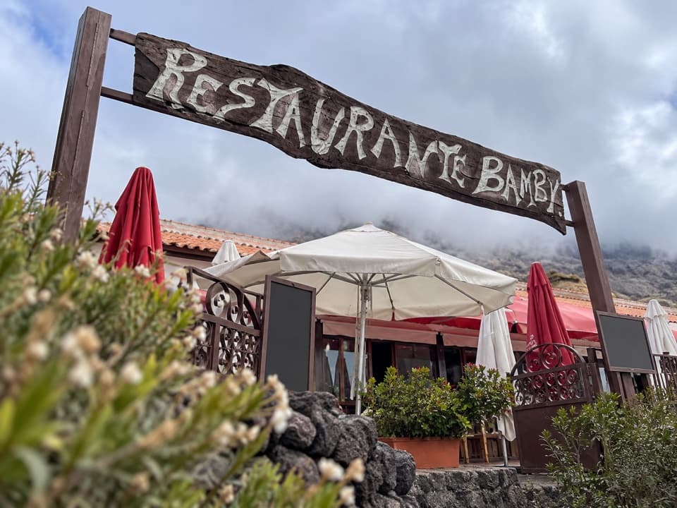 Restaurant · 1.5 km awayRestaurante 7 CañadasA terrace meal stop with views toward Teide.
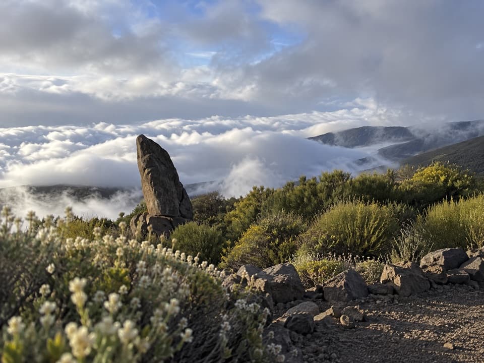 Sight · 2.1 km awayRoque del Caramujo ViewpointA quick path leads to a rocky lookout with Orotava Valley views.
Parkwolf’s Teide ranking

The audio tour guide for the drive, plus offline maps, trails, and wildlife heatmaps for when the signal drops.





