
Place · 0.3 mi away
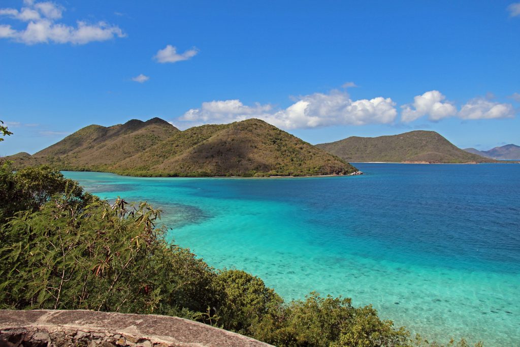
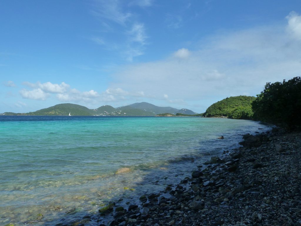
Leinster Bay is the north-shore spot people whisper about for clear water and superb snorkeling. The shoreline itself is pebbly and low-key, but what makes it special is what’s just offshore: seagrass beds alive with turtles and rays, and the coral gardens fringing Waterlemon Cay.
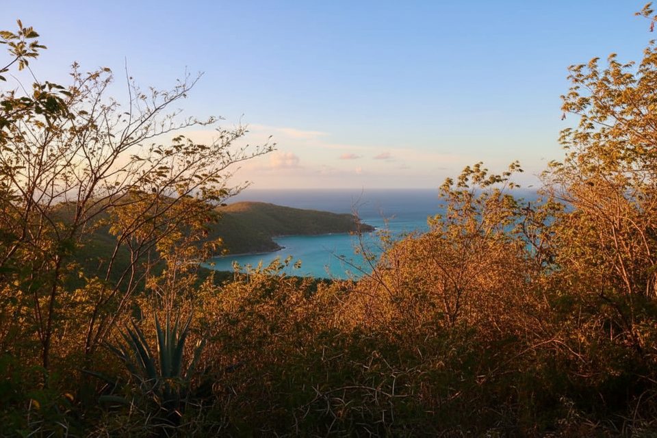
In calm conditions, expect excellent visibility and a ton of marine life—turtles grazing the inner-bay seagrass, rays sliding along the sand, and schools of reef fish working the coral. Around Waterlemon Cay, the reef is more dramatic and fishy, with chances to spot octopus, starfish, and the occasional nurse shark. On land, the shore trail winds past ruins and classic north-shore vistas.
Most visitors park by the Annaberg Plantation area and follow the shoreline path (generally flat but rocky in spots) about 0.8–2 miles round trip depending on how far you go. Entry points are mostly cobble and coral rubble—plan on a careful step-in. Boaters often use moorings in the bay and snorkel from the boat to avoid the rocky shore entry.
A popular drift is to enter near Leinster Point, circle Waterlemon Cay, and let the current carry you back toward the trail. It’s fantastic when the wind and swell are down, but do not attempt the drift in strong current or if you’re inexperienced and alone. If you want something gentler, stick to the right side of the bay and the inner seagrass—still plenty to see with less exposure.
Don’t expect services on the beach. Restrooms are at the parking area near the trailhead, not at the shoreline. Bring water, snacks, a dry bag, and sturdy water shoes for the rocky entry. There’s limited space to spread out, so think “snorkel mission,” not “all-day lounge.”
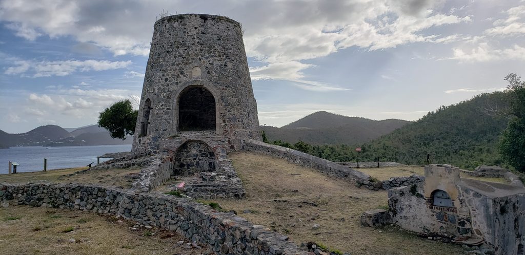
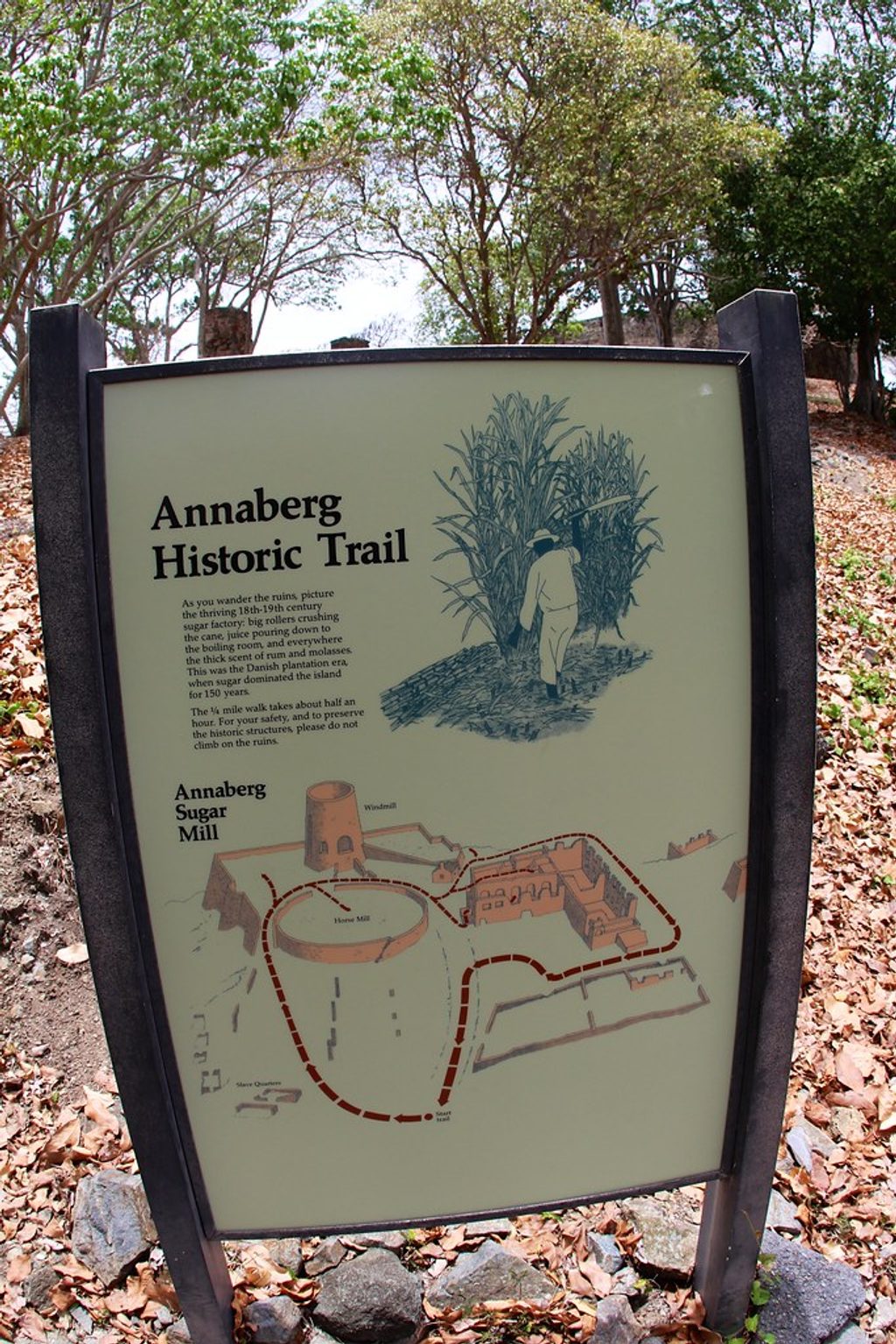
Right by the access is Annaberg Plantation—an easy add-on for context about St. John’s sugar era. If you’ve got extra energy, intersecting trails climb toward old estate ruins and viewpoints.
Watch boat traffic near moorings; a snorkel flag helps you stay visible. Mind the current around the cay. Use reef-safe sunscreen, never stand on coral, and give sea turtles space. Pack out everything you bring.
Morning is best for calmer water, active marine life, and lighter crowds. Late-day light can be gorgeous for photos and sunset watching, but winds and currents sometimes rise in the afternoon—check conditions before committing to a drift.
Place · 0.3 mi away
Place · 0.7 mi away
Place · 0.9 mi away
Place · 1.5 mi away
Easy · 0.7 mi away
Moderate · 0.8 mi away
Easy · 1.5 mi away
Challenging · 2.2 mi away

Parkwolf Tour Guide
