
All Bryce Canyon trails
24 trails
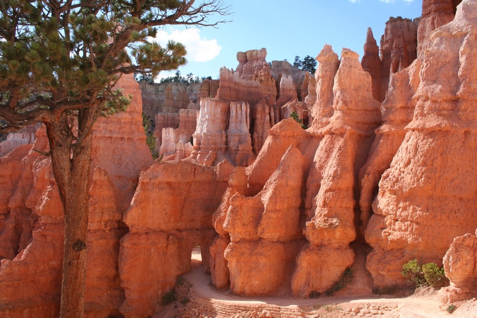 1Queen’s Garden / Navajo Combination LoopSave Navajo’s steep switchbacks for the climb back out.
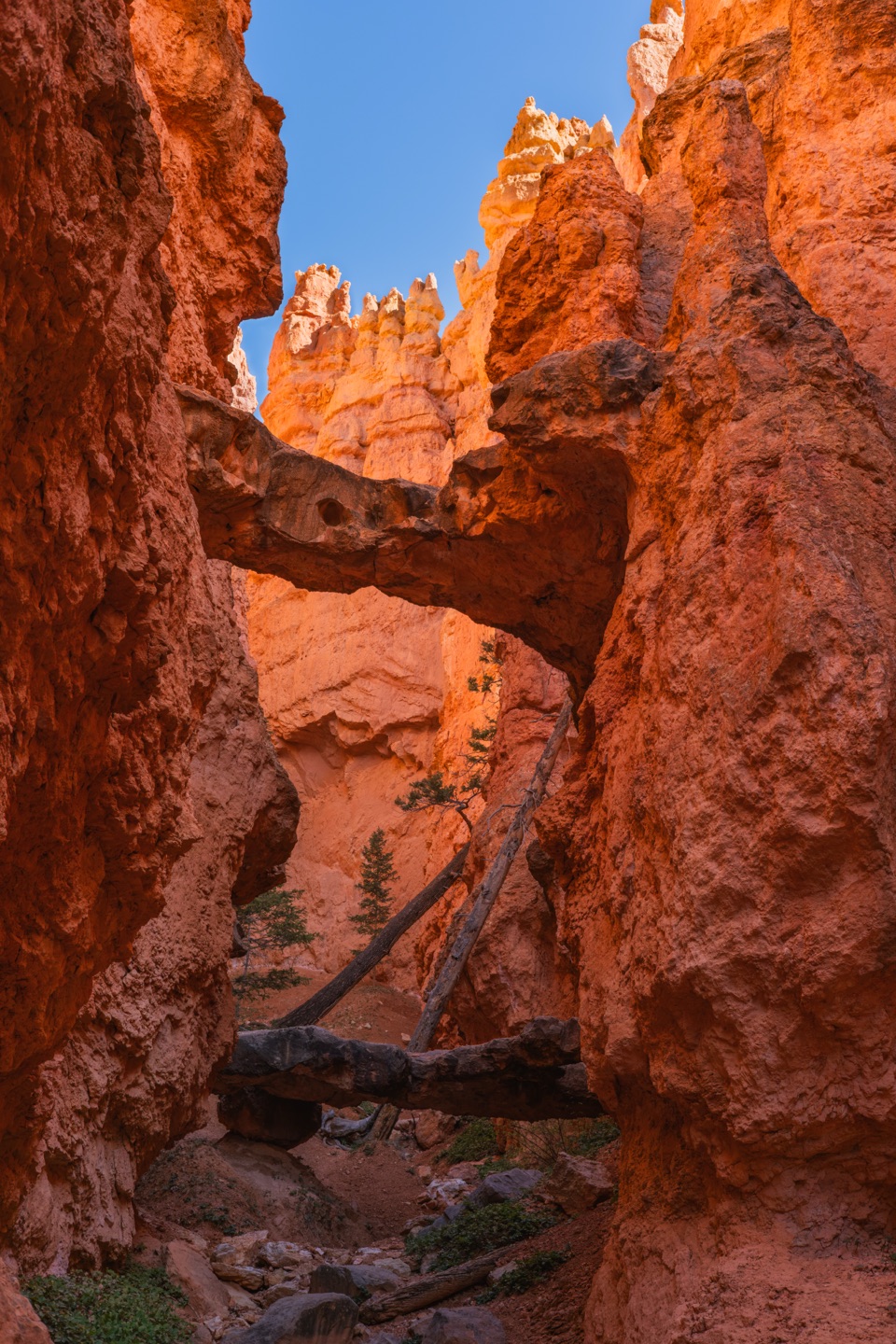 2Navajo Loop TrailA steep descent to Thor’s Hammer, then a climb back out.
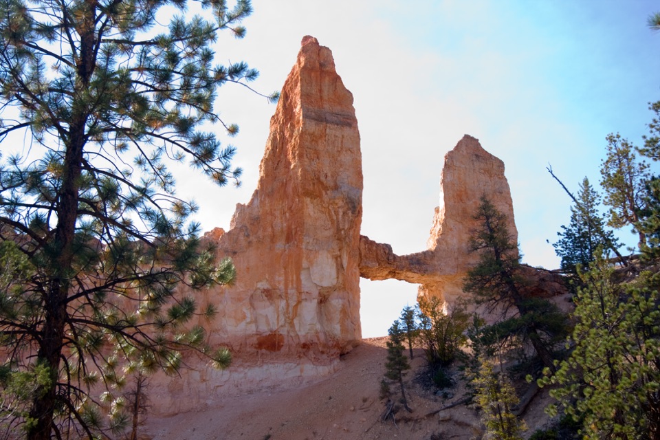 3Fairyland Loop TrailA long hoodoo loop with a shady Tower Bridge spur.
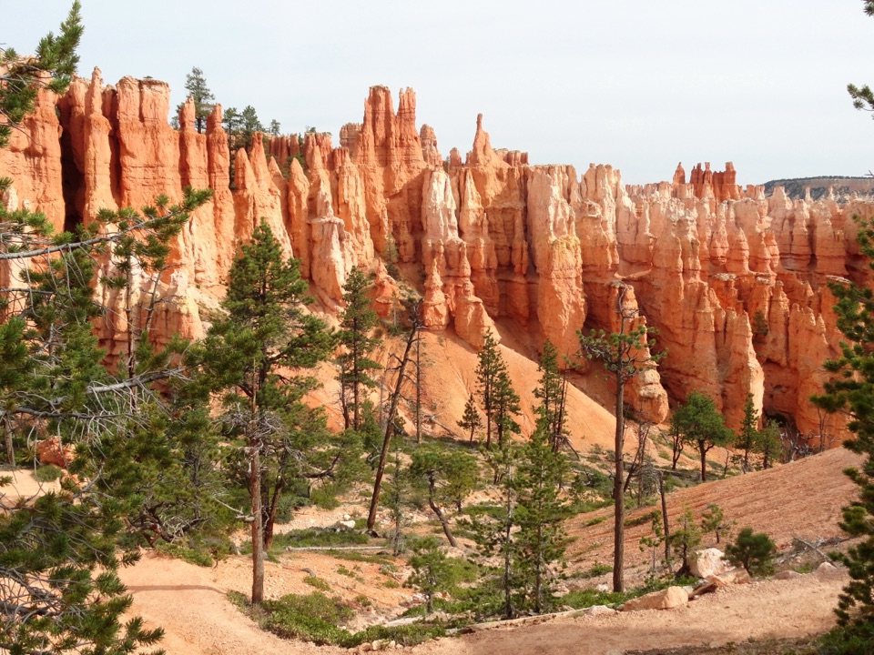 4Peekaboo Loop TrailWall of Windows close up; a 1,560-foot climb back to the rim.
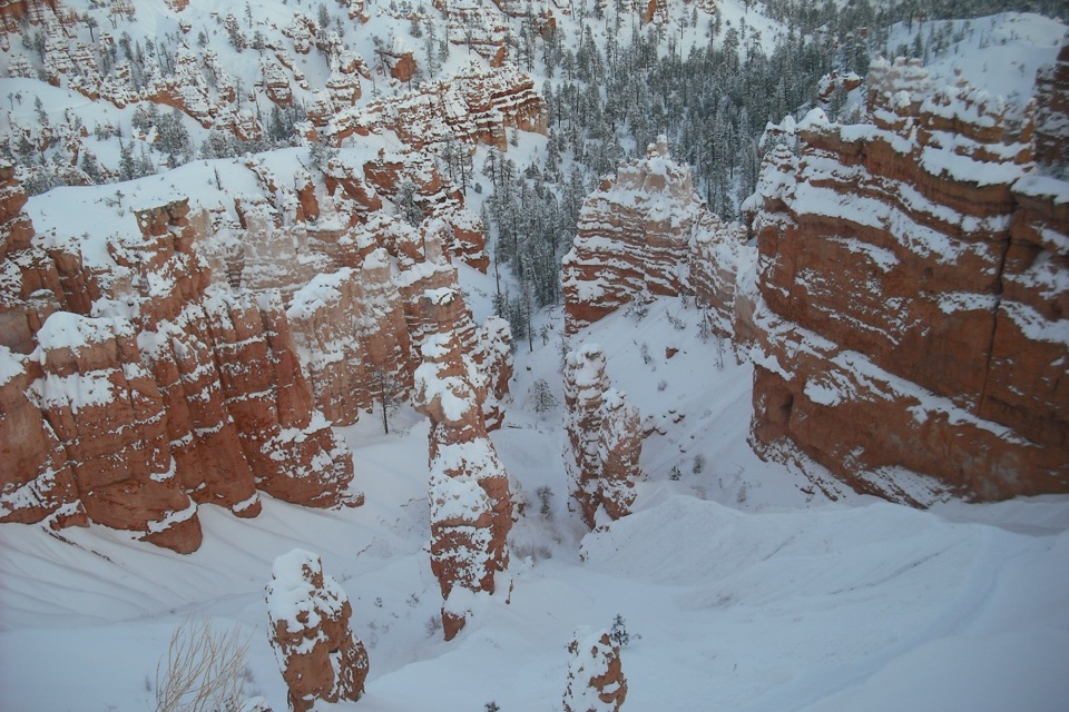 5Figure-8 CombinationA long loop links Queen’s Garden, Peekaboo, Navajo, and the rim.
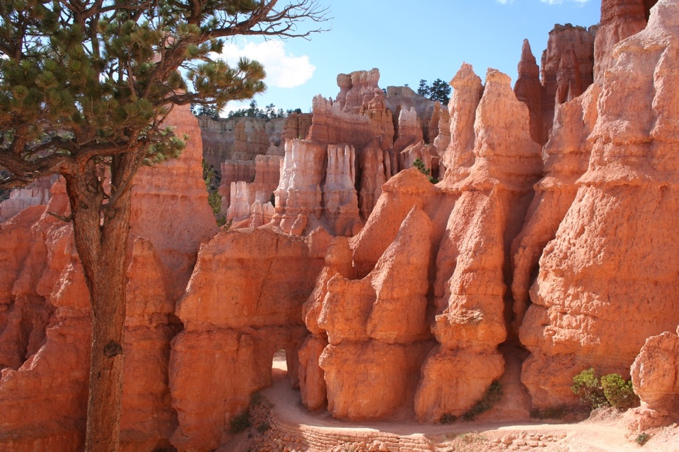 6Queen's Garden TrailDrop below the rim to meet Queen Victoria, then climb back out.
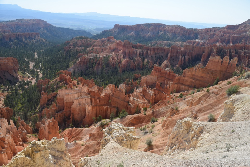 7The Rim TrailFive and a half rim miles link Bryce Amphitheater’s big overlooks.
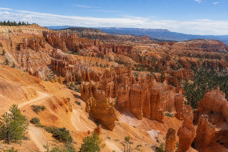 8Sunset Point to Sunrise Point HikeA paved half-mile rim walk with Bryce’s classic hoodoo view.
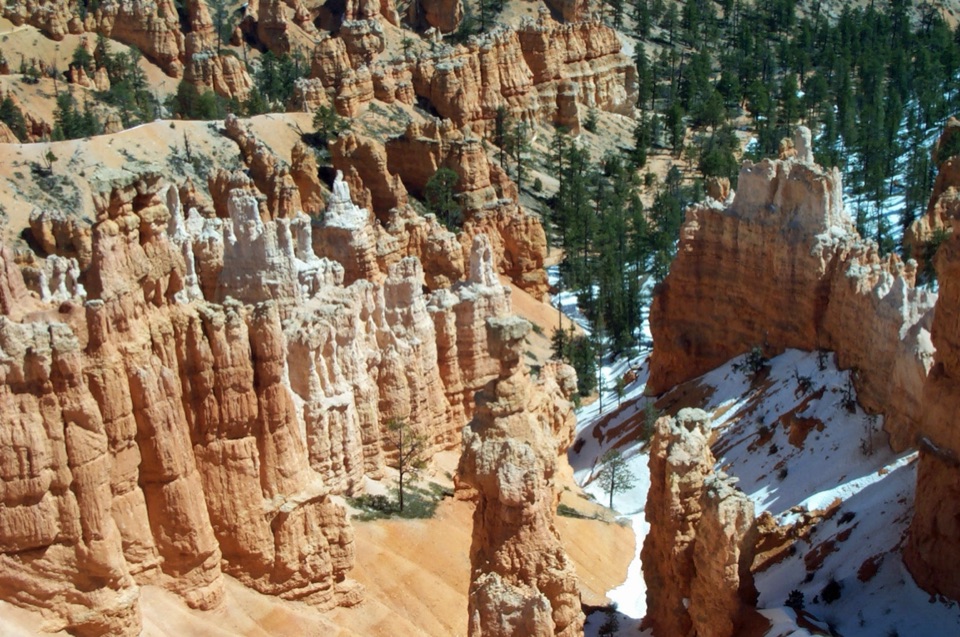 9Navajo/Peekaboo Combination LoopLink Navajo’s steep switchbacks to a clockwise lap around Peekaboo.
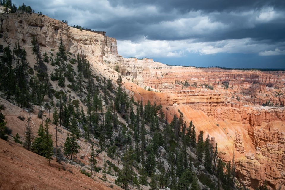 10Bryce Amphitheater TraverseA hoodoo descent, a clockwise trail stretch, and a steep rim climb.
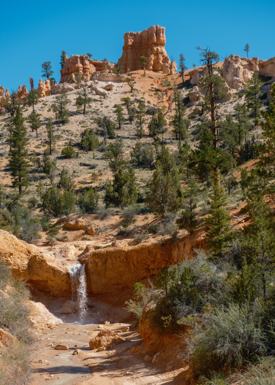 11Mossy Cave TrailA short creekside hike to a mossy overhang and waterfall.
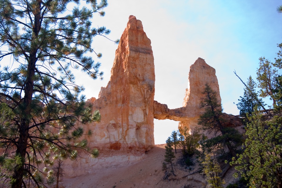 12Tower Bridge TrailDrop below the rim for a natural bridge and the Chinese Wall.
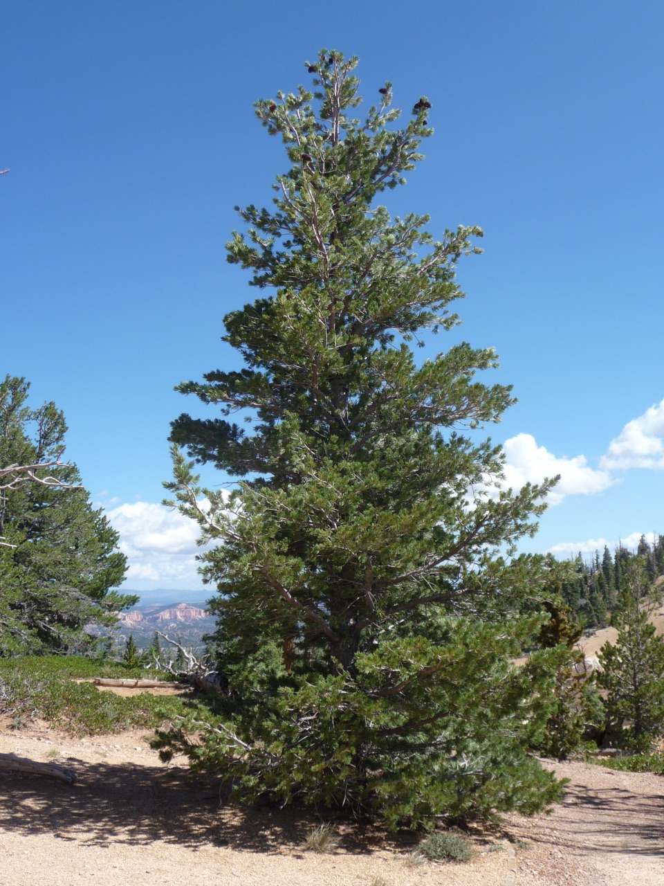 13Bristlecone Loop TrailOne-mile loop for ancient bristlecones and Four Corners views.
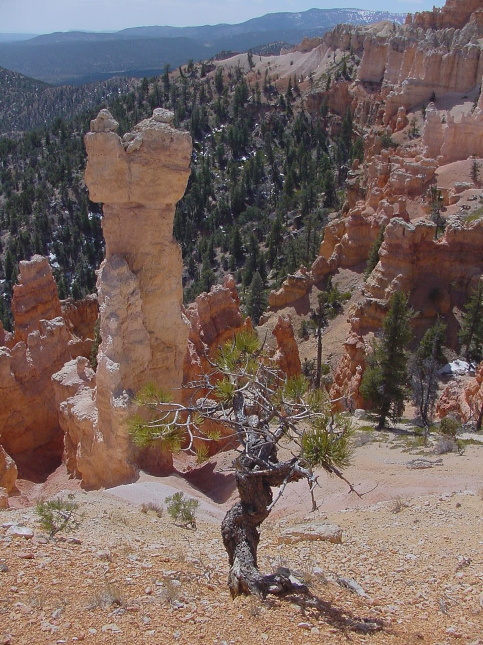 14Hat Shop TrailA steep descent to gray-capped hoodoos, then the climb back.
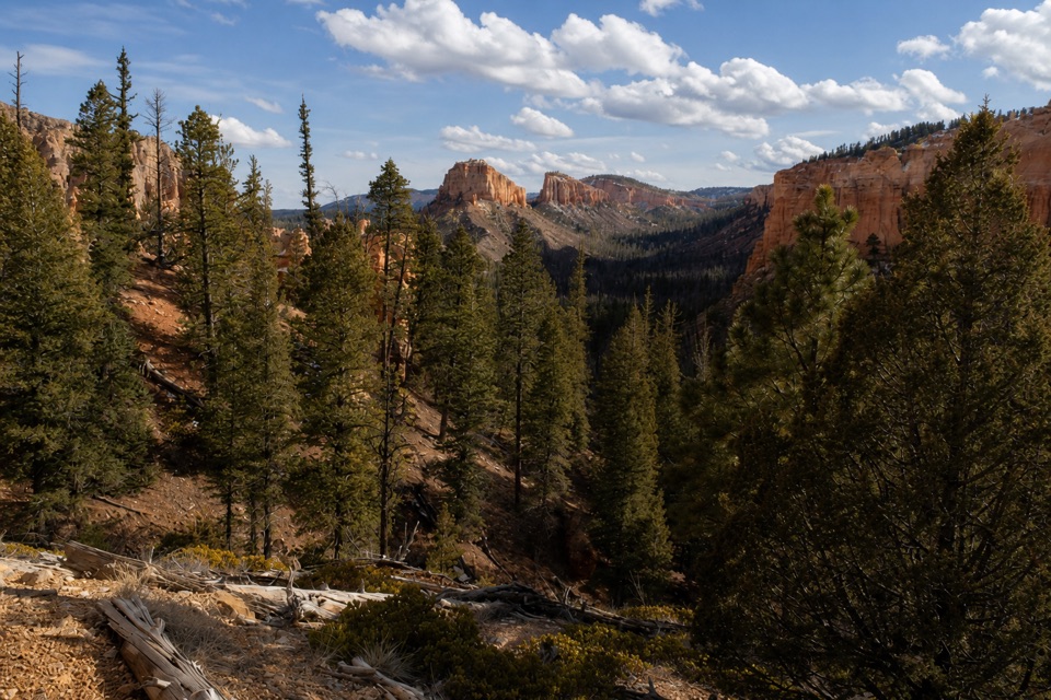 15Swamp Canyon LoopA quieter loop through meadow, forest, and red-rock canyon country.
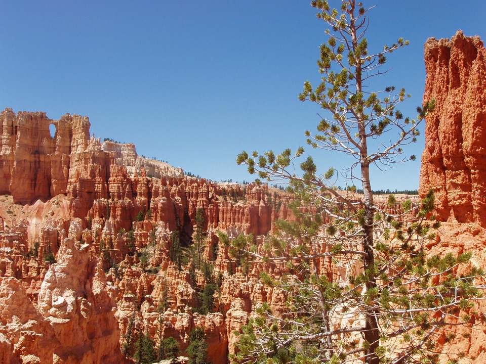 16Under-the-Rim TrailA quieter 23-mile traverse through Bryce’s forested backcountry.
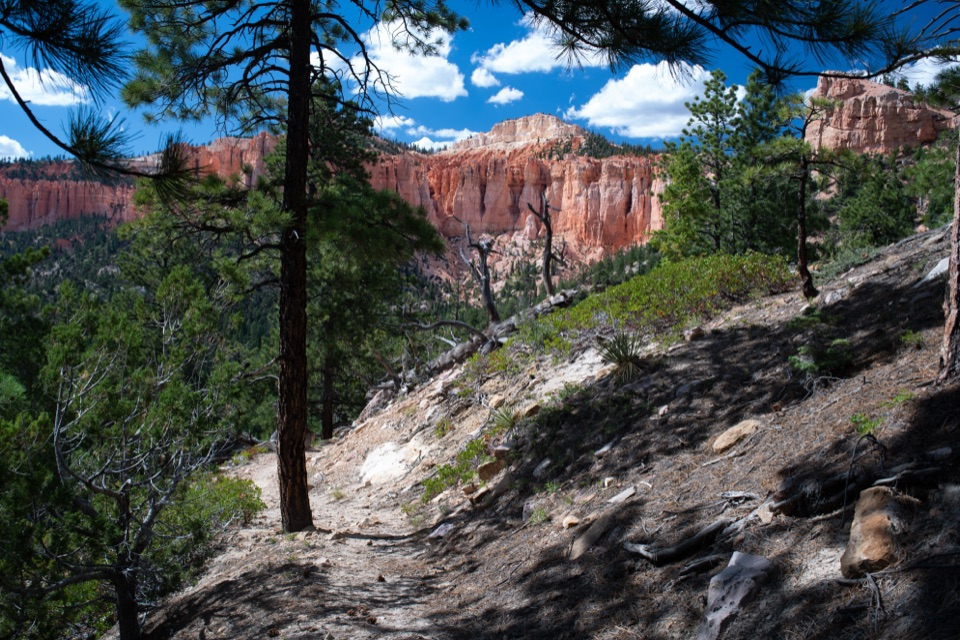 17Riggs Spring Loop TrailA strenuous 8.8-mile loop drops from the rim to Riggs Spring.
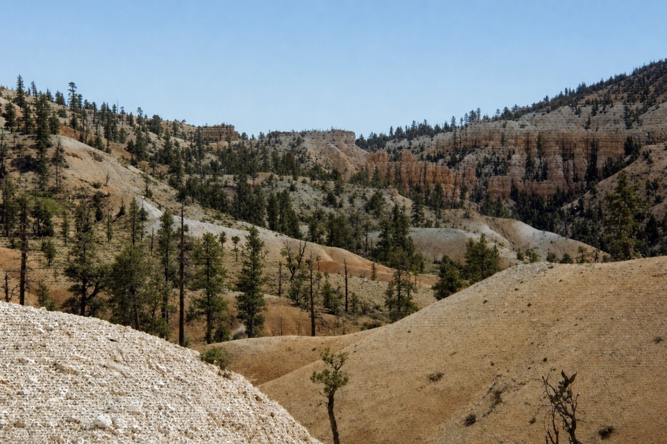 18Tropic TrailA quieter, below-rim way into the amphitheater.
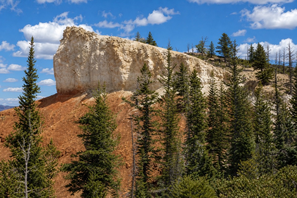 19Shared-Use Path: Shuttle Station to Inspiration PointFive paved miles link the shuttle station to Bryce’s rim viewpoints.
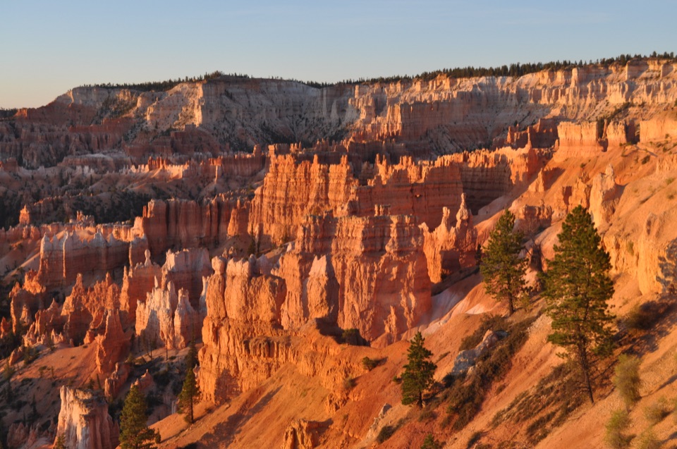 20Sheep Creek TrailFollow the cliffs down to a shaded campsite, then climb back out.
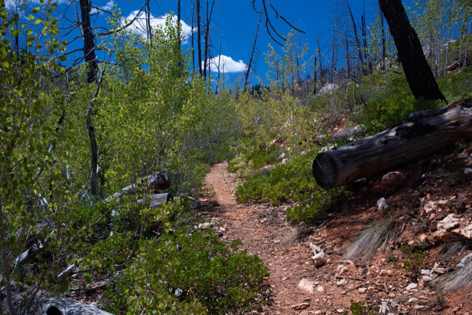 21Whiteman Connecting TrailA wooded descent reaches the Under-the-Rim backcountry trail.
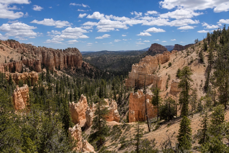 22Swamp Canyon Connector TrailA short, steep drop takes you below the rim into piney canyon.
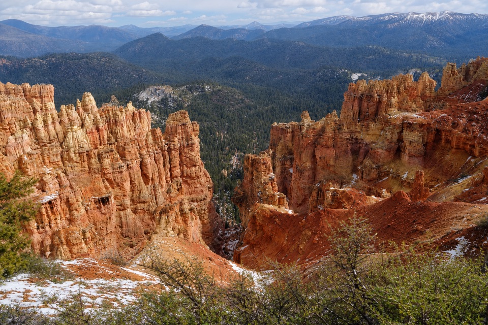 23Agua Canyon Connecting TrailA steep, rocky link from Ponderosa Point to Under-the-Rim.
 24Bull Rush Hollow TrailA mapped forest spur branches off at the Riggs Spring low point.
The highest, rockiest slopes around here are a summer buffet for grizzly bears.
Bryce Canyon Tour Guide
Bryce Canyon, narrated.
Parkwolf is a GPS audio tour guide for Bryce Canyon National Park. As you drive, it chimes in with what’s ahead: hidden gems, upcoming stops, history, geology, and wildlife, right through your car’s speakers.
Recorded for this place
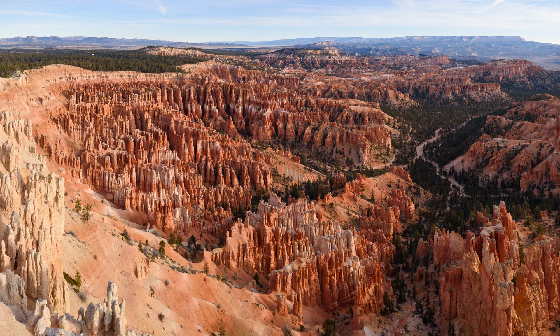
Bryce Point: The Whole Amphitheater0:00 / 0:35
“You're approaching Bryce Point, where you can look across the whole hoodoo-filled amphitheater. Keep this stop if you want to see how the rows of towers fit together.”
Plays as you drive up to Bryce Point in the Parkwolf Bryce Canyon Tour Guide.
More stories near here in the app
- Paria View: A Mountain on the Horizon
- Inspiration Point: Three Levels of Views
- Sunset Point and Thor's Hammer
- Sunset Campground: A Base Near the Rim
- 30 audio storiesacross Bryce Canyon’s roads, triggered by GPS as you drive
- Wildlife heatmapsfor Wapiti, Utah Prairie Dog, Mule Deer, and 13 more
- Works offlinemaps, 24 trails, 41 places, and audio download before you lose signal
- CarPlay readysimple controls built for the drive
“Super fun and useful app! We especially enjoyed the guide as we drove through Bryce Canyon National Park.”

