
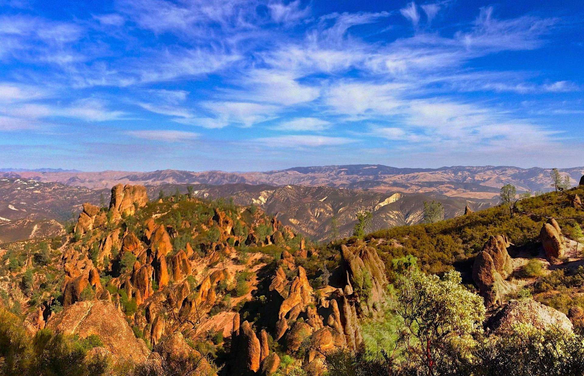
All Pinnacles trails
25 trails
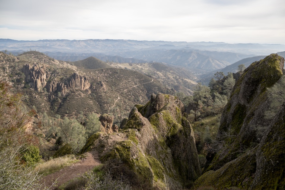 1Condor Gulch to High Peaks LoopA strenuous circuit through volcanic spires and an exposed, narrow ridge.
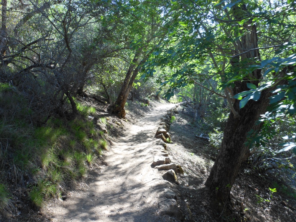 2Moses Spring to Rim Trail LoopA short loop linking Bear Gulch’s cave, reservoir, and rim.
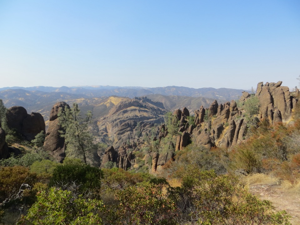 3Juniper Canyon Trail LoopSteep rock steps, narrow ledges and a tunnel through the High Peaks.
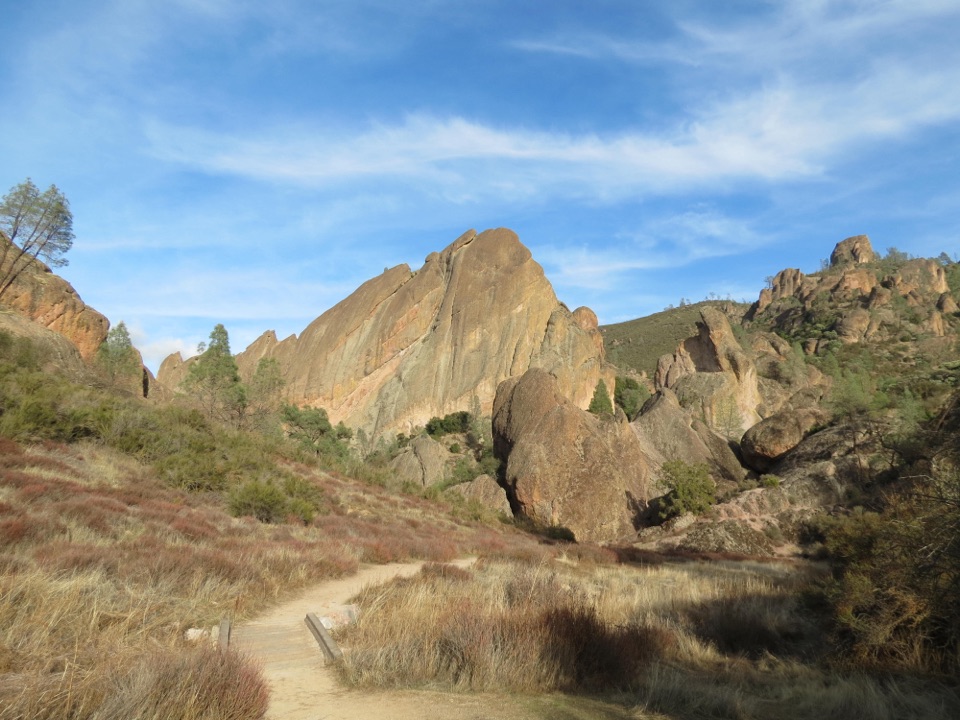 4Balconies Cliffs-Cave LoopDark caves and high cliffs in one short Pinnacles loop5High Peaks to Balconies Cave LoopNarrow spires, carved steps, and a dark cave in one loop.
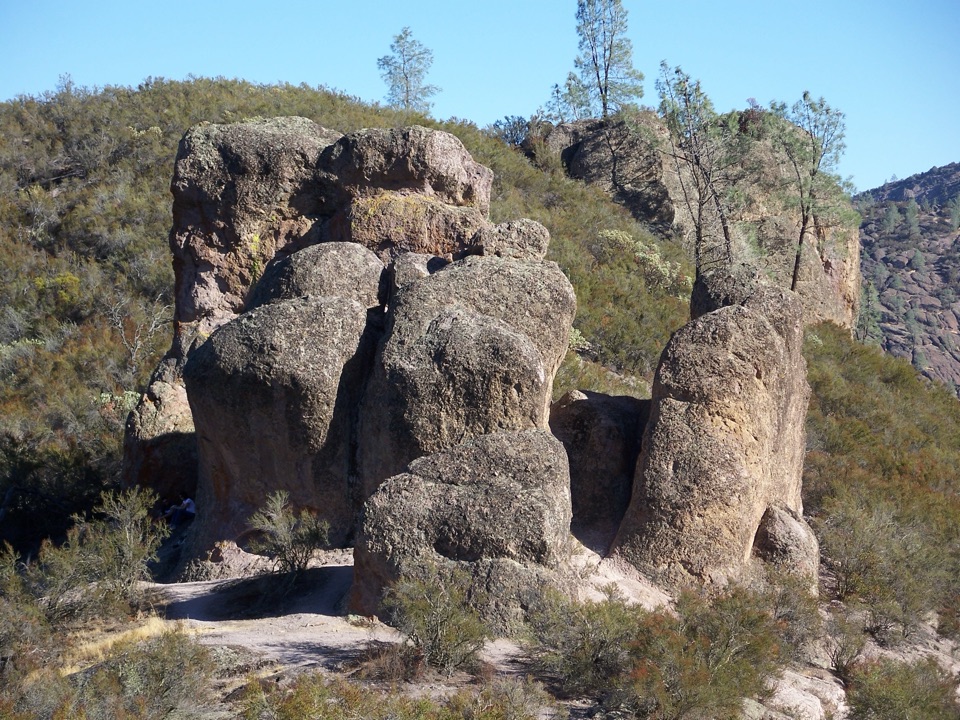 6High Peaks to Bear Gulch LoopA steep ridge climb, tight rock passages, and a shaded return.
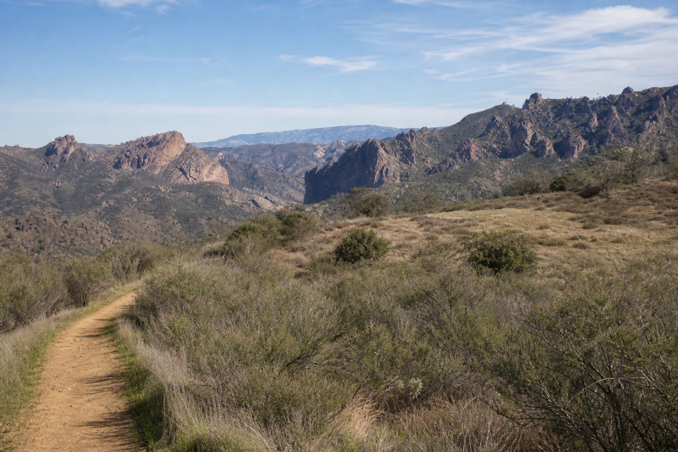 7Prewett Point TrailAn easy hillside loop with sweeping views of the High Peaks.
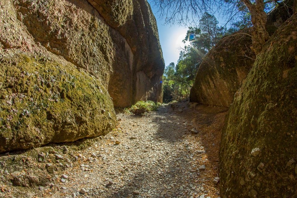 8Old Pinnacles Trail to Balconies CaveA cave passage and cliffside loop beneath Machete Ridge.
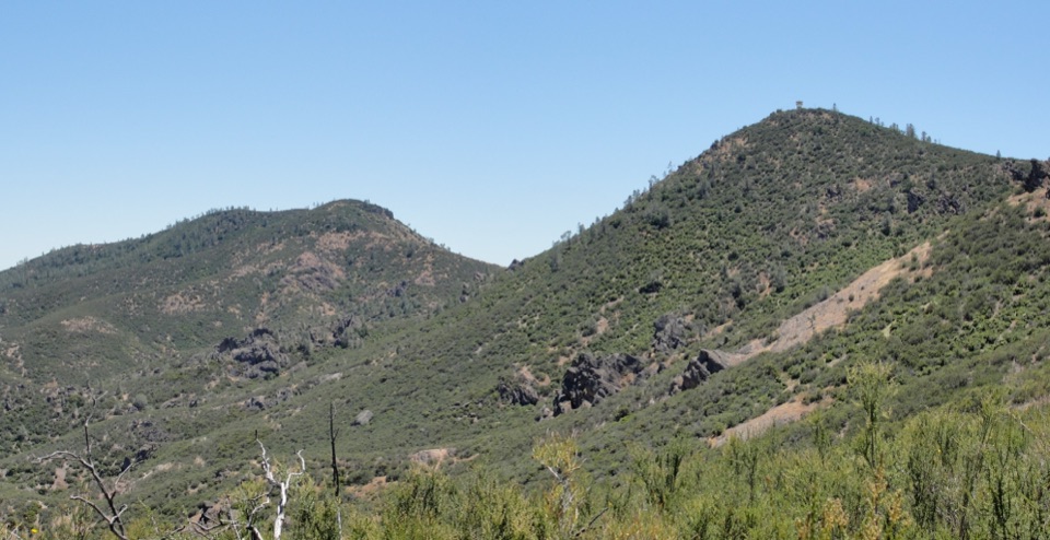 9Chalone Peak TrailAn exposed climb to the park’s high point and a closed lookout.
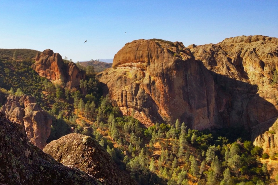 10Condor Gulch Trail to OverlookA steady mile leads to a rocky overlook into Condor Gulch.11High Peaks to Balconies Cave LoopA steep loop through Pinnacles' spires and a dark talus cave.
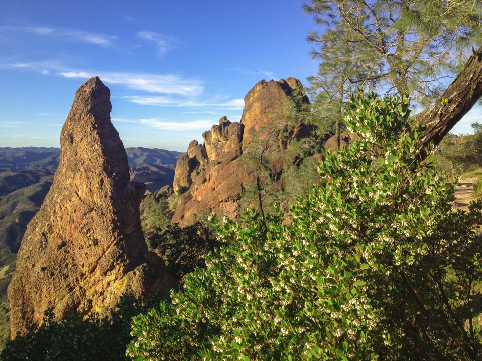 12High Peaks Trail to Old Pinnacles Trail to Condor Gulch Trail LoopA full-day circuit through caves, High Peaks spires, and wild ridges.
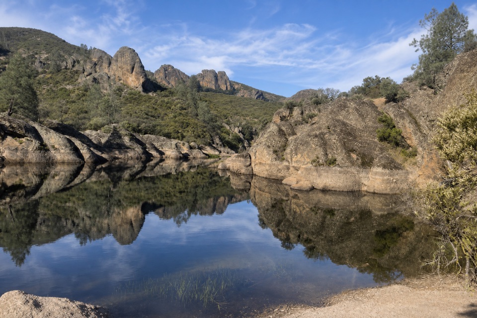 13Moses Spring Trail to Bear Gulch ReservoirA short rocky climb to a ferny grotto and stone dam.
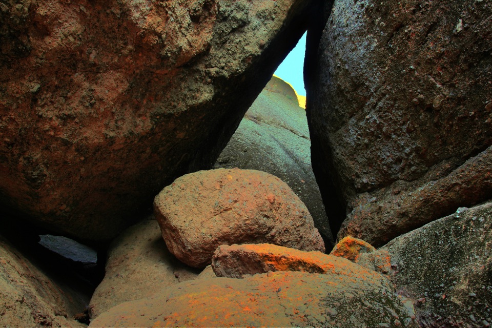 14Campground to Balconies CaveA sunny creek walk to a talus cave and a cliffside return.
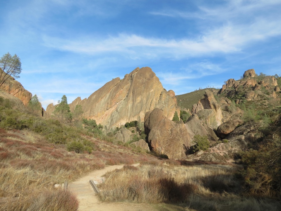 15North Wilderness Trail LoopRidge walking, cairned creek crossings, and Balconies Cave on the return.
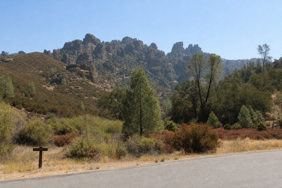 16Tunnel TrailA steep climb to a historic passage through the Pinnacles.
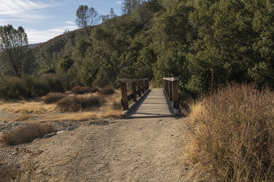 17Blue Oak TrailOak and tall grass give way to the High Peaks.
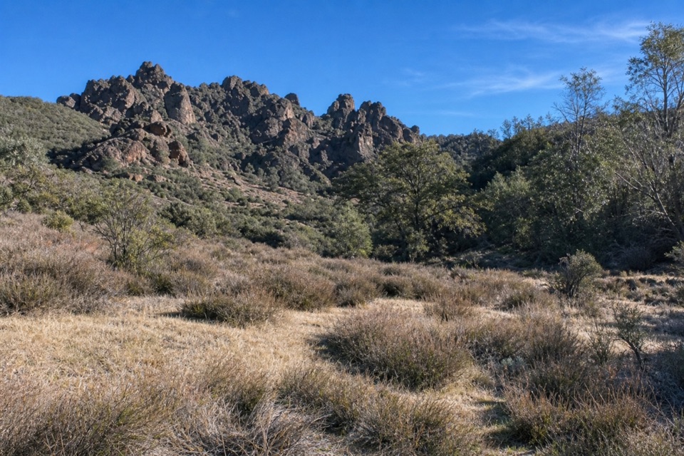 18North Wilderness Trail to Twin KnollsA shorter North Wilderness climb to Twin Knolls views.
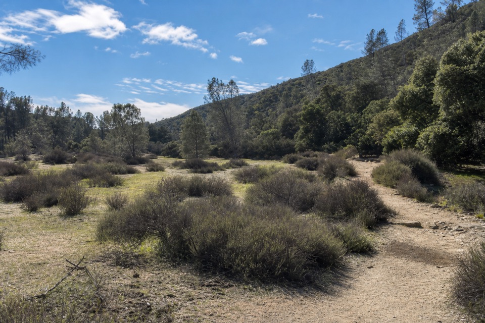 19Bench Trail Accessible SectionOak shade and High Peaks views on a gentle accessible walk.
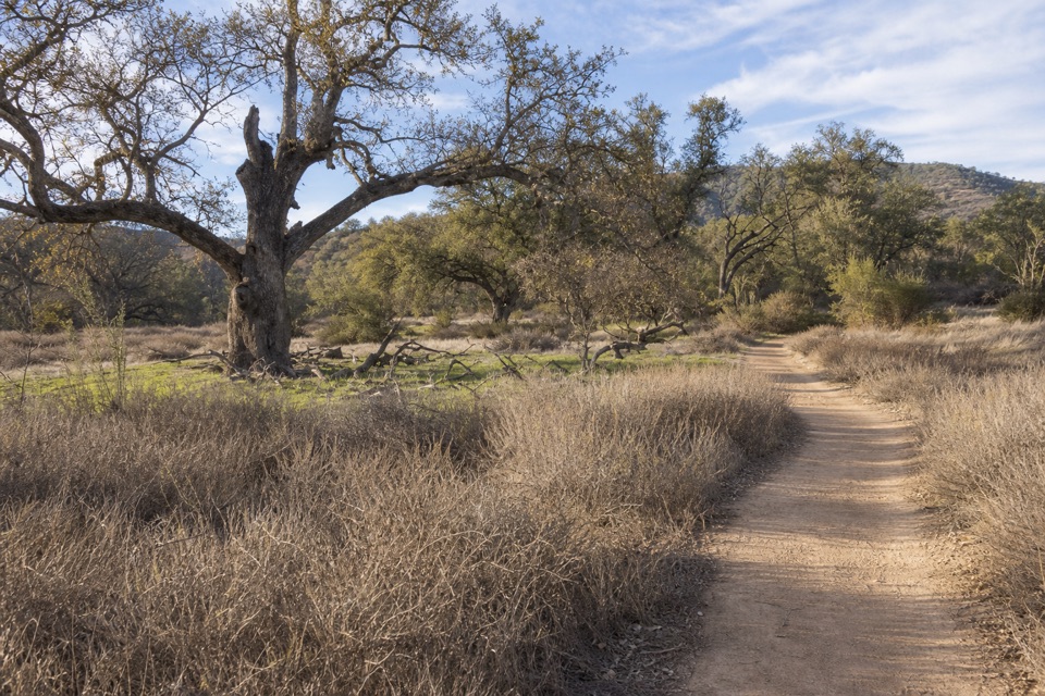 20Campground to South Wilderness TrailA mellow oak-valley walk on a faint, unmaintained creekside trail.21South Chalone Peak TrailA long, unmaintained branch to the southern ridge.
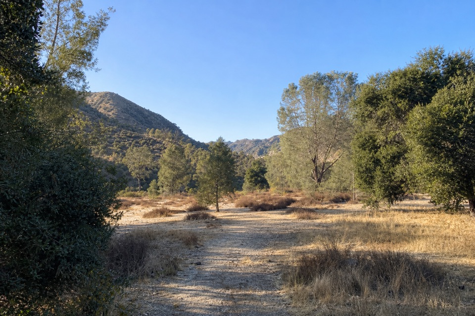 22Sycamore TrailA gentle creekside mile between Peaks View and Bear Gulch.
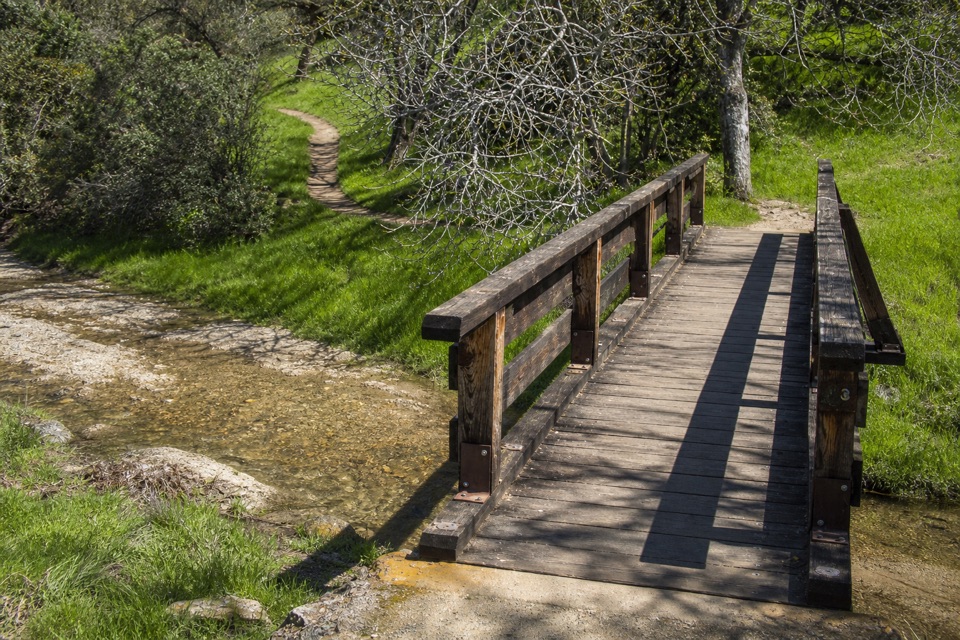 23Campground to Bear Gulch Day Use AreaA moderate one-way walk follows two creeks to Bear Gulch.
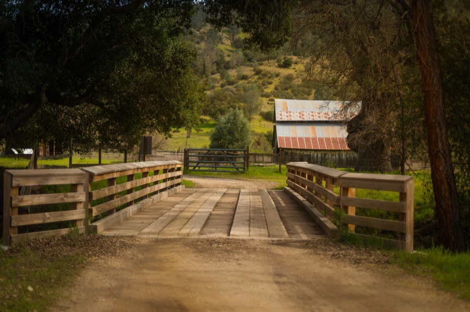 24Bacon-Butterfield Ranch TrailAn easy valley walk through two old homesteads.
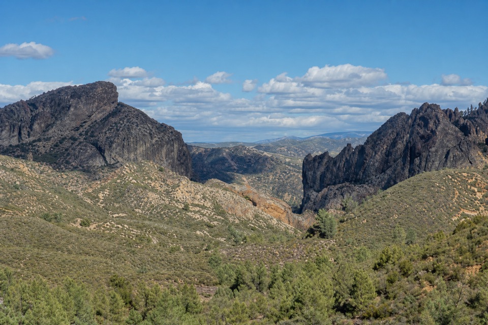 25Jawbone TrailA short, steep descent opens onto big Pinnacles views.
The highest, rockiest slopes around here are a summer buffet for grizzly bears.
Pinnacles Tour Guide
Pinnacles, narrated.
Parkwolf is a GPS audio tour guide for Pinnacles National Park. As you drive, it chimes in with what’s ahead: hidden gems, upcoming stops, history, geology, and wildlife, right through your car’s speakers.
Recorded for this place
Bear Gulch Cave and Reservoir0:00 / 0:32
“You're coming up on the Bear Gulch walking area, the starting point for the cave and reservoir. The moderate Moses Spring and Rim Trail loop is about two point two miles; allow an hour and a half to two hours.”
Plays as you drive up to Bear Gulch Reservoir in the Parkwolf Pinnacles Tour Guide.
More stories near here in the app
- Bear Gulch to High Peaks
- North Chalone Peak via Bear Gulch
- Peaks View Picnic Stop
- Old Pinnacles and Machete Ridge
- 12 audio storiesacross Pinnacles’s roads, triggered by GPS as you drive
- Wildlife heatmapsfor California Condor, Mule Deer, Chipmunk, and 13 more
- Works offlinemaps, 25 trails, 23 places, and audio download before you lose signal
- CarPlay readysimple controls built for the drive
“Fantastic app with many points of information… It’s great to just turn on while you’re driving and it gives you an audio tour of the national Park. We love it!!!!”

