Parking
Start at Mirador de La Crucita on TF-24 at km 30.1. Parking is very scarce and there is no public transport at the start. The walk ends in upper Arafo, so arrange a pickup or return ride before leaving your car.

Teide National Park, TF
A rough lava descent follows the old pilgrimage path into Arafo.
Overview
Map & elevation
Plan your hike

The highest, rockiest slopes around here are a summer buffet for grizzly bears.
Teide Tour Guide
Parkwolf is a GPS audio tour guide for Teide National Park. As you drive, it chimes in with what’s ahead: hidden gems, upcoming stops, history, geology, and wildlife, right through your car’s speakers.
Recorded for this trailhead
La Crucita and the Pilgrimage Trail“You're coming up on La Crucita, where a historic pilgrimage trail descends toward Arafo.”
Plays as you drive up to this trailhead in the Parkwolf Teide Tour Guide.
More stories near here in the app
“Fantastic app with many points of information… It’s great to just turn on while you’re driving and it gives you an audio tour of the national Park. We love it!!!!”


Trail guide
Camino a Candelaria’s La Crucita–Arafo section is a 7.17 km point-to-point descent from Mirador de La Crucita to upper Arafo. It drops about 1,485 m; allow roughly 3½ to 4 hours because the rough opening is steep and can be slippery. This is a walk through the landscape rather than a climb: you cross Caldera de Pedro Gil, leave the lava slope for pine forest, and finish on pavement above town.
Start on the right side of the viewpoint and follow the rough tread across the Las Arenas lava flow, crossing the forest track more than once. The route reaches a small stone building called El Refugio; the directions then turn left twice toward chestnut plantings. White Camino panels show its symbol and trail number, with directions, connections and distances. Watch for them at the turns.
Below the chestnuts, a gentler stretch under old pines takes about 35 minutes. Near a small rise, a dry water channel lies below the path; the route uses the lower crossing and continues beside another conduit. It then follows a path without forks to pavement in upper Arafo and on toward town.
The trail cuts across the Las Arenas flow, created by an eruption that Arafo dates from February 2 to March 27, 1705. The lava ran as far as 12 km, filled the Arafo ravine, and covered springs and farmland. You only cross part of the flow, but the dark volcanic ground above cultivated land makes the scale of that change easy to picture. The Camino links these uplands with Arafo, Güímar and Candelaria; this segment is the downhill walk to Arafo.
Parking at Mirador de La Crucita on TF-24 km 30.1 is very scarce, and there is no public transport at the start. This is a one-way walk, so arrange a pickup or return ride from Arafo before leaving your car.
The route details disagree about the endpoint: the named La Crucita–Arafo segment is listed as 7.17 km, but the same technical page’s end-access field names the Basilica in Candelaria; another description gives 14.5 km for a La Crucita–Arafo walk. This version follows the connected 7.3 km descent to upper Arafo. Check the current route map and your pickup point before you go; do not assume the 7.17 km segment continues all the way to Candelaria.
Wildlife
 15 sightingsShort-finned Pilot WhaleMost seen around 9 AMSighting map
 829 sightingsTenerife LizardMost seen around 11 AMSighting map
 11 sightingsWest Canary SkinkMost seen around 11 AMSighting map
 98 sightingsTenerife Blue ChaffinchMost seen around 8 AMSighting map
 45 sightingsKestrelMost seen around 10 AMSighting map
 10 sightingsBarbary PartridgeMost seen around 7 AMSighting map
Sighting maps show where each species has been reported across Teide. Wildlife moves, so no sighting is guaranteed.
Keep exploring
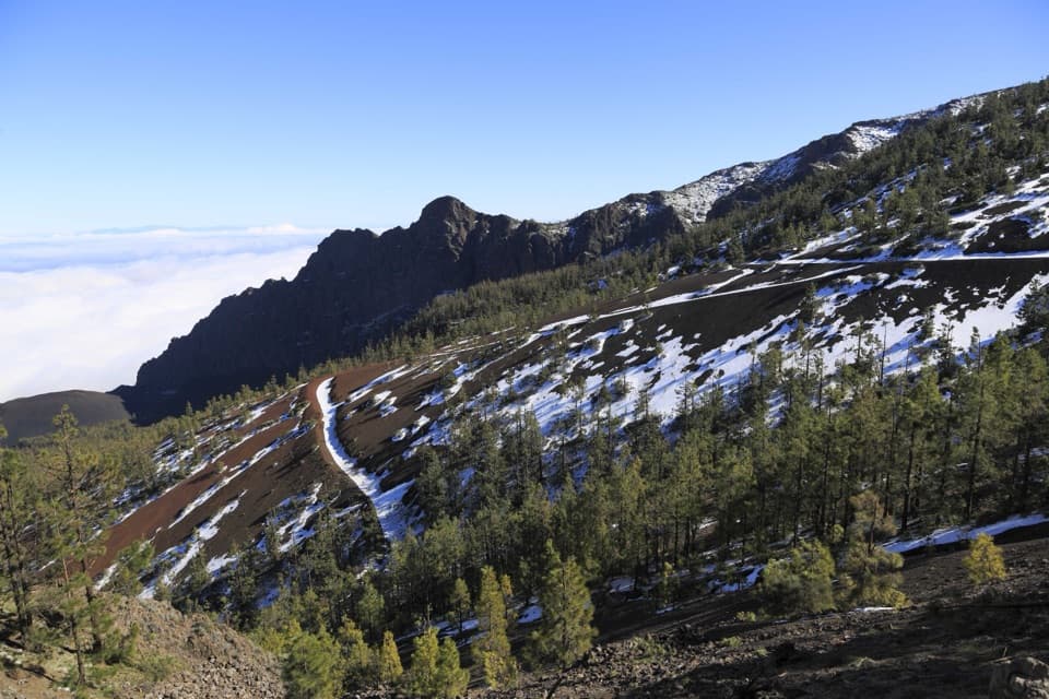 ChallengingCamino a Candelaria: Aguamansa–La Crucita Trail4.5 km · 3.2 hr · 2.2 km awayAn old pilgrimage climb to a high pass above two valleys.
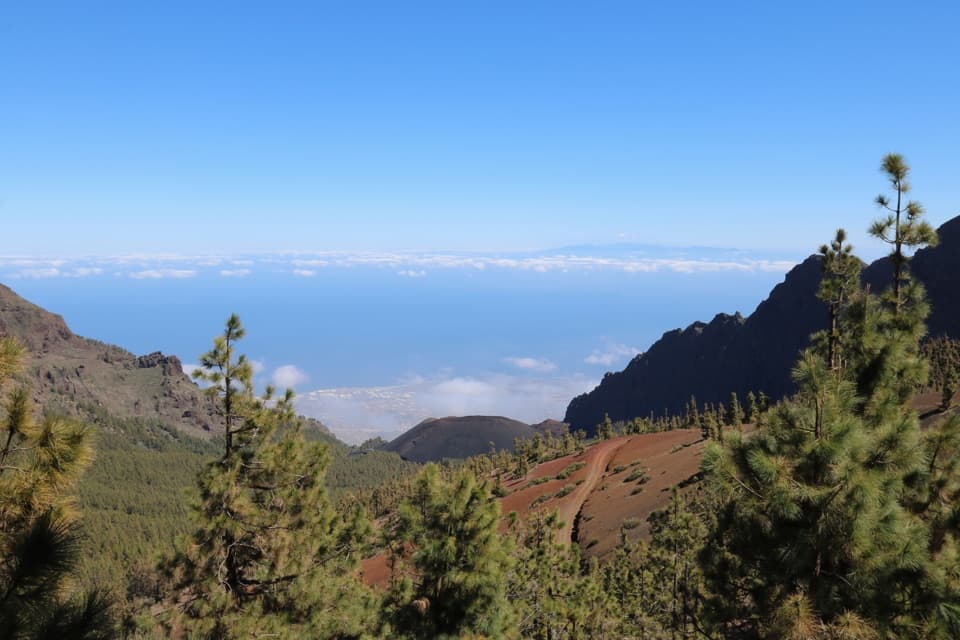 ModeratePNT 17 Igueque Trail2.7 km · 1.8 hr · 2.2 km awayA ridge walk between two valleys and lava bombs.
 ChallengingGR 131: La Caldera to Vilaflor38 km · 15 hr · 2.4 km awayA high volcanic crossing follows Tenerife’s old Royal Pathway south.
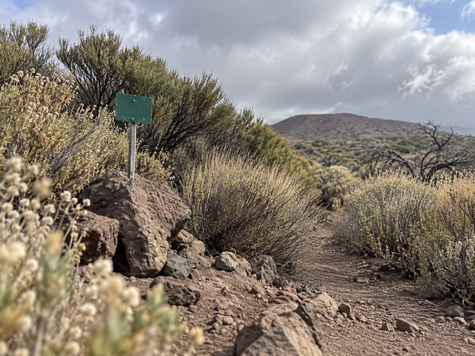 EasyPNT 34 Montaña Limón Trail1.3 km · 30 min · 3.3 km awayA short historic path across Montaña Limón's scrubby slope.
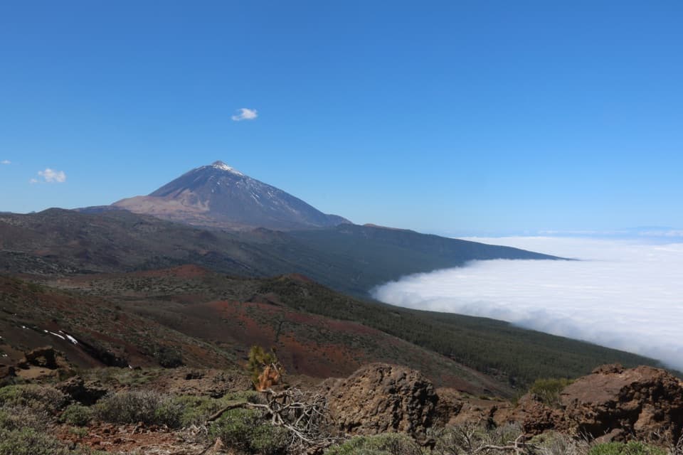 EasyPNT 21 Corral del Niño–Yegua Blanca Trail6.4 km · 2 hr · 6.1 km awayA 4-mile traverse from volcanic cones to wind-bent pines.
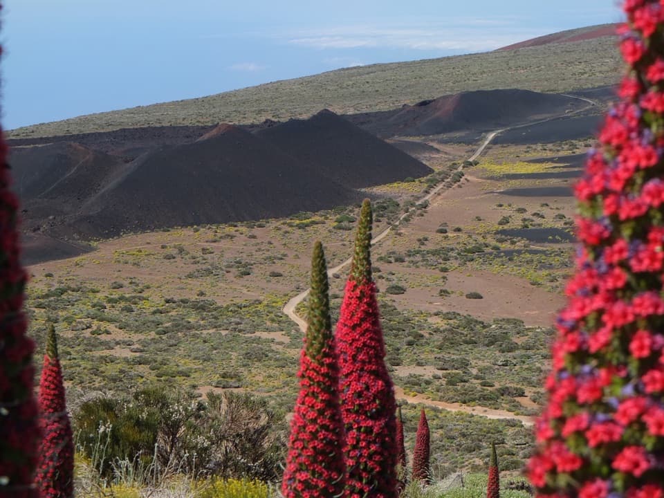 EasyPNT 20 Volcán de Fasnia Loop8.3 km · 2.8 hr · 6.2 km awayA highland loop from older cones to the black 1705 Fasnia cones.
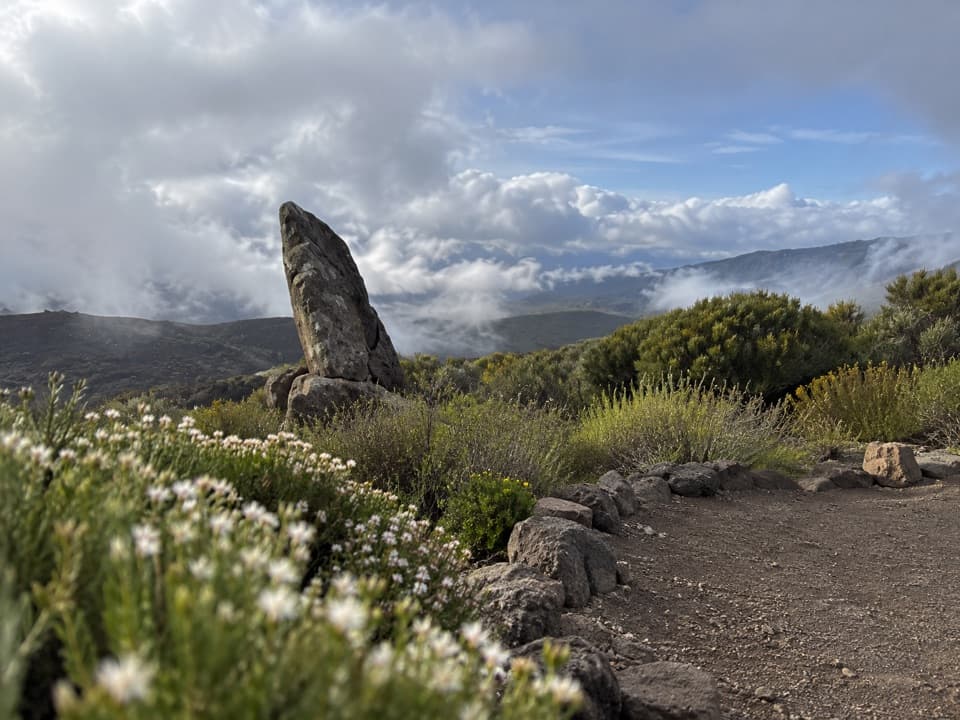 EasyRoque del Caramujo Accessible Trail0.4 km · 15 min · 6.8 km awayA very short, accessible walk to the base of Roque del Caramujo.
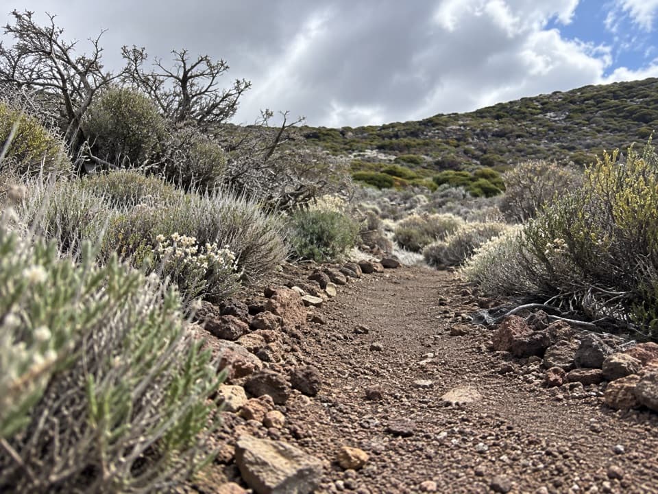 EasyPNT 37 Cerrillar - Carnicería Trail3 km · 1.5 hr · 8 km awayA highland traverse from Cerrillar to La Carnicería.
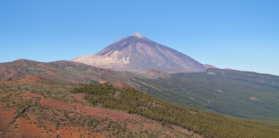 Sight · 1.5 km awayEl Valle ViewpointA quick roadside pause for the Orotava valley and Teide.
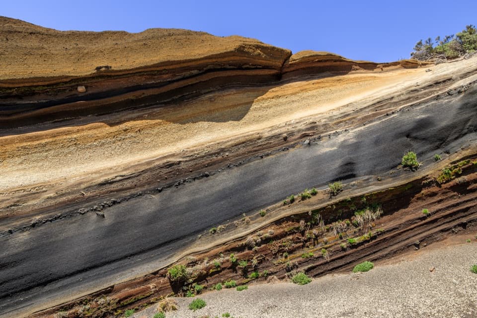 Sight · 1.5 km awayLa Tarta ViewpointTwo pullouts pair the colored layers with a wider island view.
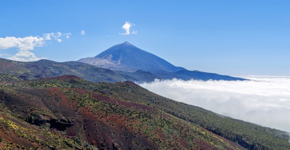 Sight · 1.9 km awayIgueque ViewpointPines, Teide and a cloud sea from the high road.
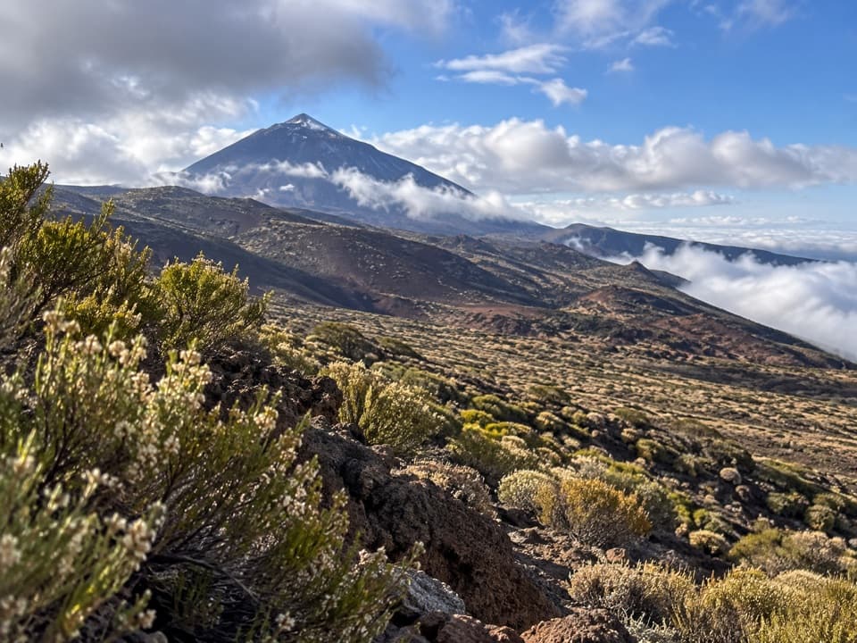 Sight · 4 km awayMontaña Limón ViewpointA roadside view of Teide above a valley of fissure-formed cones
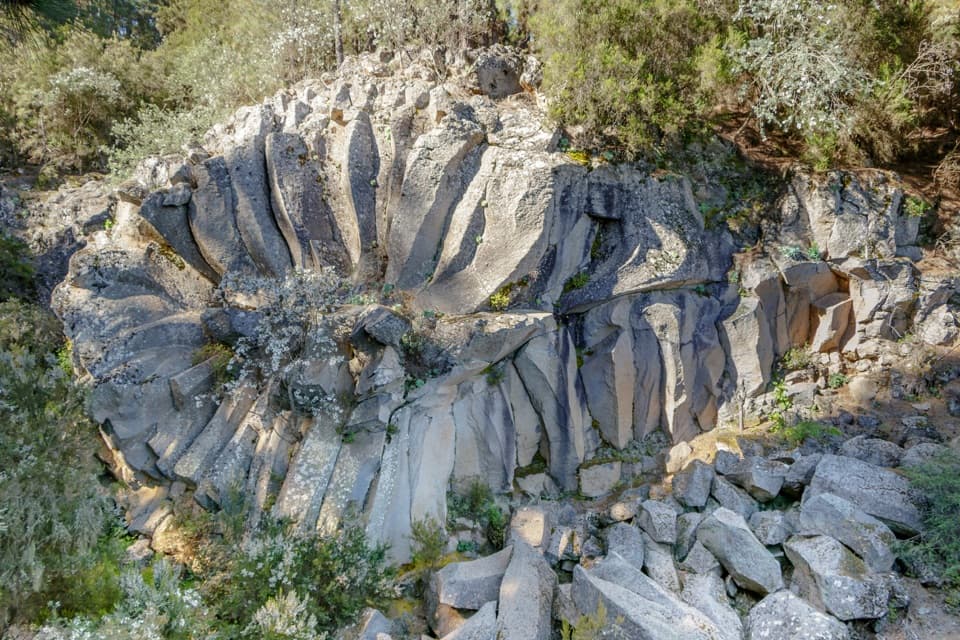 Sight · 4.3 km awayPiedra de la Rosa ViewpointA flower-shaped volcanic rock beside a west-facing Teide lookout.
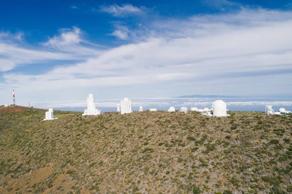 Sight · 6 km awayTeide ObservatorySee the daytime Sun and the telescopes built to study it.
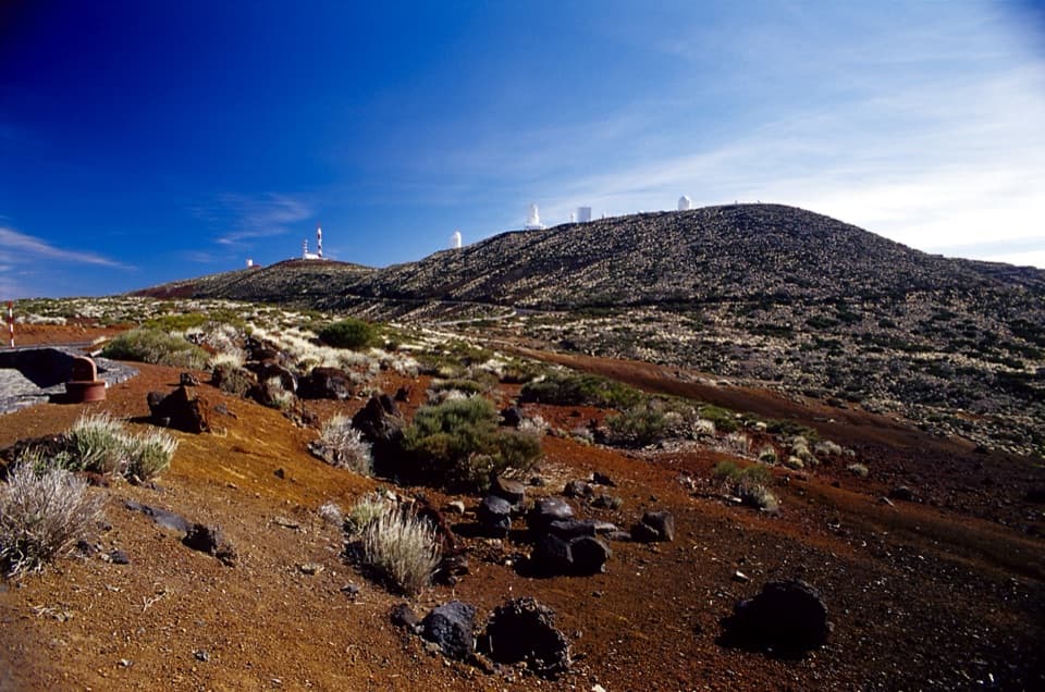 Sight · 6 km awayCorral del Niño 1 ViewpointA sunset stop for observatory towers and old volcanic cones.
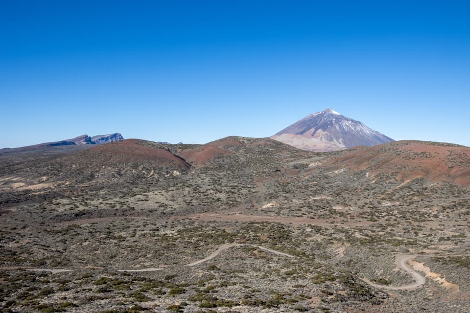 Sight · 6.1 km awayIzaña ViewpointOne panorama, from single-eruption cones to a layered volcano.
Parkwolf’s Teide ranking

The audio tour guide for the drive, plus offline maps, trails, and wildlife heatmaps for when the signal drops.





