PNT 34 Montaña Limón Trail in Teide National Park

Teide National Park, TF

PNT 34 Montaña Limón Trail

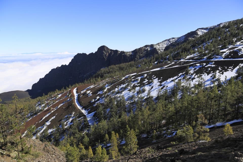
A short historic path across Montaña Limón's scrubby slope.

Length
1.3km
Time
30min
Elev. change
98m
Difficulty
Easy
  • High point 2,097 m

Hear the audio tour

Montaña Limón Viewpoint

Overview

About PNT 34 Montaña Limón Trail

Why go

  • A quick historic link between the Güímar and La Orotava valleys.

Heads up

  • Point-to-point endpoints make the return and access plan important.

Map & elevation

The route

Loading the Teide map
Full map
Elevation1,999–2,097 m
TrailheadPNT 21 junction on the Montaña Limón track28.31941, -16.49851
Keep this map with you offline in the Parkwolf app

Plan your hike

Before you go

Parking

No designated parking for PNT 34 was verified. Start at the PNT 21 junction where the path leaves the Montaña Limón track toward El Mal Abrigo and Yegua Blanca; both endpoints are approached on foot, so confirm your access and return plan before setting out.


Safety

If you retrace the route, budget for the nearly 99 m climb back to the PNT 21 junction.

3 active Teide alerts

  • CautionActive wildfire risk and preventive measuresTenerife ON currently lists wildfire risk and preventive wildfire measures; check the live restrictions before visiting Teide National Park.Official details
  • CautionNo smoking in Teide National ParkSmoking is prohibited throughout Teide National Park as a preventive measure against forest fires.Official details
See all 3 alerts
A park ranger sits on a dash-mounted phone, talking, as Parkwolf’s Tour Guide plays “Army Cutworm Moths: A Grizzly Bear Buffet” on Grand Loop Road below Dunraven Pass in Yellowstone
Parkwolf Tour GuideThe highest, rockiest slopes around here are a summer buffet for grizzly bears.

Teide Tour Guide

Your drive to PNT 34 Montaña Limón Trail, narrated.

Parkwolf is a GPS audio tour guide for Teide National Park. As you drive, it chimes in with what’s ahead: hidden gems, upcoming stops, history, geology, and wildlife, right through your car’s speakers.

Recorded for this area

Montaña Limón Viewpoint
0:00 / 0:20
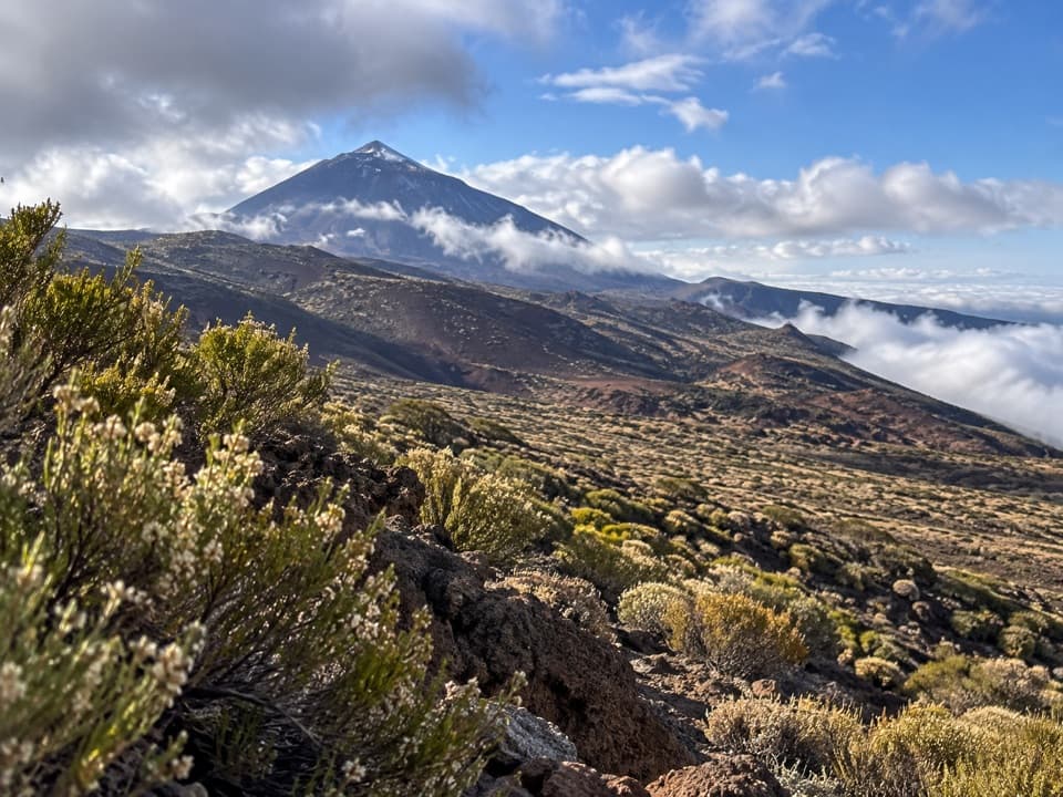
“Montaña Limón Viewpoint is ahead, a quick roadside stop overlooking a small valley of volcanic cones.”

Plays on the road 0.7 km from the trailhead in the Parkwolf Teide Tour Guide.

More stories near here in the app

  • Igueque Trail to La Crucita
  • Humboldt’s Mountain Notebook
  • Igueque Viewpoint and the Sea of Clouds
  • La Tarta and El Valle Viewpoints
  • 39 audio storiesacross Teide’s roads, triggered by GPS as you drive
  • Wildlife heatmapsfor Short-finned Pilot Whale, Tenerife Lizard, West Canary Skink, and 10 more
  • Works offlinemaps, 62 trails, 49 places, and audio download before you lose signal
  • CarPlay readysimple controls built for the drive
★★★★★
“Fantastic app with many points of information… It’s great to just turn on while you’re driving and it gives you an audio tour of the national Park. We love it!!!!”
JMJamesApp Store review
Download Parkwolf on the App StoreGet Parkwolf on Google Play

4.7 from 8,600+ ratings

Trail guide

Hiking PNT 34 Montaña Limón Trail

A short point-to-point walkPNT 34 is a 1.26 km (0.

PNT 34 is a 1.26 km (0.78 mi) one-way trail from the PNT 21 junction to the park boundary on Montaña Limón’s north slope. Allow about 30 minutes; it is graded easy. If you use it as a standalone out-and-back, retracing the route makes the walk about 2.5 km (1.56 mi) and roughly an hour before stops. It works best as a short leg of a longer walk unless you have planned your return.

The slope and treadFrom PNT 21, the mapped line loses nearly 99 m and ends at about 1,999 m elevation.

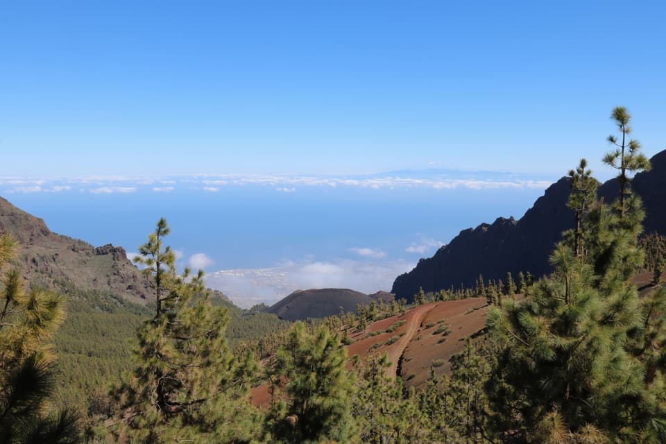
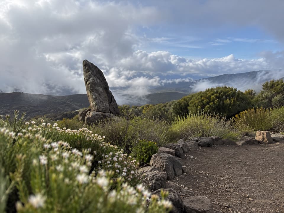
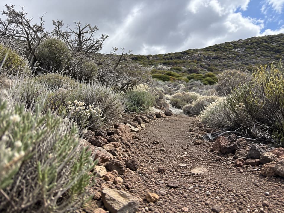
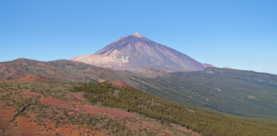
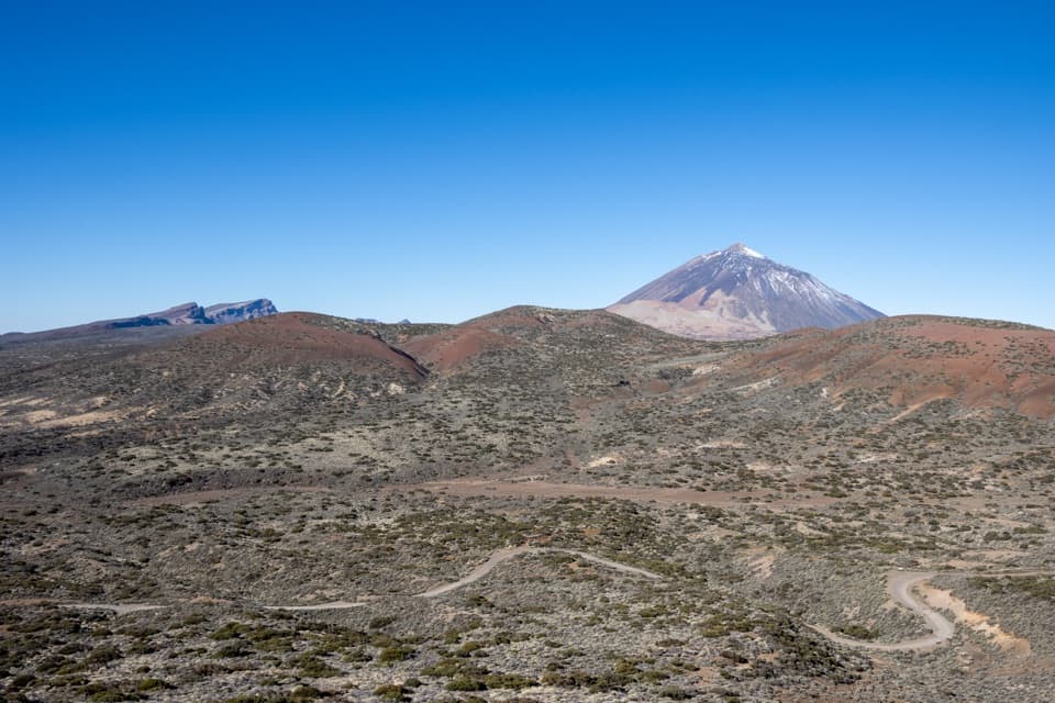
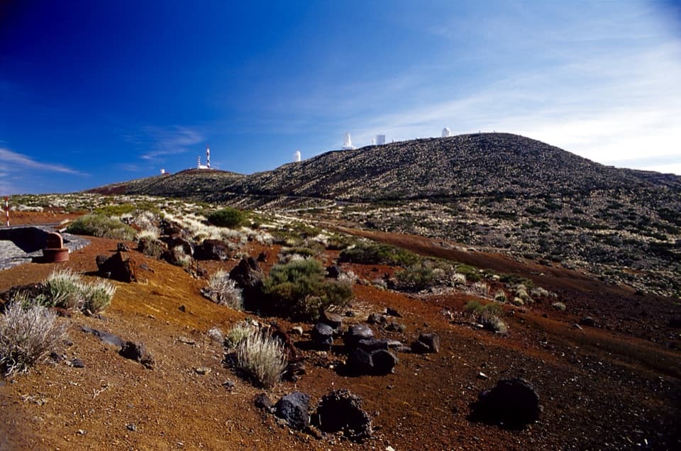
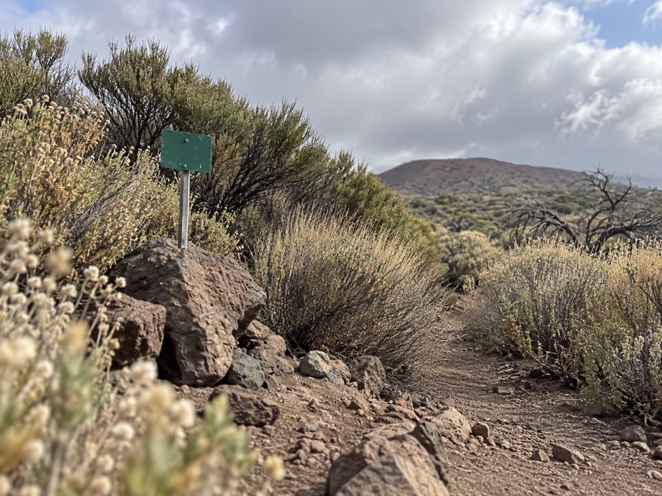
From PNT 21, the mapped line loses nearly 99 m and ends at about 1,999 m elevation. The trail sits around 2,000 m, so the air is high-mountain even though the walk is brief. At the green route marker, the tread is narrow and rocky, with dark stones, pale grasses and low grey-green scrub. The route follows Montaña Limón’s southern slope; it does not go to the mountain summit.

Access and facilitiesThe start is where PNT 21 leaves the Montaña Limón track toward El Mal Abrigo and Yegua Blanca;…

The start is where PNT 21 leaves the Montaña Limón track toward El Mal Abrigo and Yegua Blanca; the finish is on foot at the north slope of Montaña Limón. Both endpoints are reached on foot. No parking, toilets or water point were verified for this segment, so confirm your approach and return before setting out. Access is free and does not require a reservation.
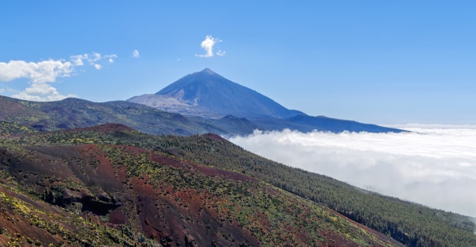
An old path between valleysPNT 34 follows an old crossing between the valleys of Güímar and La Orotava.

PNT 34 follows an old crossing between the valleys of Güímar and La Orotava. Its appeal is this short highland traverse and its connection to the older route network, rather than a summit or a loop.

Wildlife

Wildlife in Teide

All Teide wildlife maps

Sighting maps show where each species has been reported across Teide. Wildlife moves, so no sighting is guaranteed.

Keep exploring

Near PNT 34 Montaña Limón Trail

See it all on the map

Trails that start nearby

Places near the trailhead

Parkwolf’s Teide ranking

Top-rated trails in Teide

All 62 trails
  1. 1Telesforo Bravo Trail (PNT 10)Challenging · 1.4 km
  2. 2PNT 03 Roques de García LoopModerate · 3.5 km
  3. 3Alto de Guajara Summit LoopChallenging · 11.1 km
  4. 4Mirador de Pico Viejo Trail (PNT 12)Moderate · 1.5 km
  5. 5PNT 07 Montaña Blanca–La Rambleta TrailChallenging · 8.3 km
  6. 6Sámara Loop TrailModerate · 4.6 km

Take Parkwolf to Teide.

The audio tour guide for the drive, plus offline maps, trails, and wildlife heatmaps for when the signal drops.

4.7 from 8,600+ ratings

Download Parkwolf on the App StoreGet Parkwolf on Google Play