Parking
Start at the car park for La Caldera Recreation Area. This is a one-way crossing to Vilaflor; arrange a pickup or vehicle transfer at the far end before setting out. No dedicated return shuttle was confirmed.

Teide National Park, TF
A high volcanic crossing follows Tenerife’s old Royal Pathway south.
Overview
Map & elevation
Plan your hike

The highest, rockiest slopes around here are a summer buffet for grizzly bears.
Teide Tour Guide
Parkwolf is a GPS audio tour guide for Teide National Park. As you drive, it chimes in with what’s ahead: hidden gems, upcoming stops, history, geology, and wildlife, right through your car’s speakers.
Recorded for this area
La Crucita and the Pilgrimage Trail“You're coming up on La Crucita, where a historic pilgrimage trail descends toward Arafo.”
Plays on the road 2.4 km from the trailhead in the Parkwolf Teide Tour Guide.
More stories near here in the app
“Fantastic app with many points of information… It’s great to just turn on while you’re driving and it gives you an audio tour of the national Park. We love it!!!!”


Trail guide
The GR 131 through Teide is a one-way, 23.64-mile (38.1 km) crossing from La Caldera Recreation Area to Vilaflor de Chasna. It links three published sections: La Caldera–El Portillo, El Portillo–Degollada de Guajara, and Degollada de Guajara–Vilaflor. Their published time estimates add up to about 14 hours 40 minutes; allow at least 15 hours, plus breaks, and plan this as a staged trek with transport at the Vilaflor end. The route follows the old Camino Real de Chasna from the pine-covered north side of the island across Teide’s high volcanic landscape and down to Vilaflor.
The mapped line measures 38.1 km. The three stage descriptions total 37.5 km, a small difference between a mapped route and rounded stage figures. You may also see a 16.4 km figure for a “national park section,” but it comes without a distinct endpoint pair, while its map shows the full island route. This record follows the traceable La Caldera–Vilaflor itinerary; do not use 16.4 km as the length of this crossing.
Start by the car park at La Caldera Recreation Area. The footpath joins SL-TF 81 and climbs through dense pine forest toward Cruz del Dornajito. From there, track sections lead onto the old Royal Pathway of Chasna and keep climbing to the crossroads at El Portillo, where the visitor centre stands. This first section is listed at 13.1 km and about 5 hours 40 minutes, with a long ascent from the recreation area.
From El Portillo, the GR follows the old route across Las Siete Cañadas, the broad valley below Teide. The 13.1 km stage to Degollada de Guajara is listed at about four hours. Expect uneven ground, loose rocks and steep slopes. The branch signed GR 131.1 heads to the Parador; stay on the main GR if you are continuing south. Near Cañada de la Grieta, the distinctive Roque de la Grieta makes a good scale point in a photograph with the volcanic plain and trail in the foreground.
At Degollada de Guajara the route turns down from the high ridge. The final 11.3 km section takes about five hours. Volcanic tuff covers parts of the old Royal Pathway, then the GR enters pine forest and descends toward the Madre del Agua track and Las Mesas ravine before reaching Vilaflor. The route reaches roughly 2,425 m near Guajara and loses more than 1,100 m on this last section. The nearby Los Escurriales viewpoint is reached by the separate PR-TF 72 trail, so leave it out if you want to stay on the GR through-route.
Individual visitors do not need a reservation. Pets are prohibited in the national park; guide dogs for visitors with disabilities are excepted. La Caldera is the starting access, while Vilaflor is the far end, so arrange your own pickup or vehicle transfer before starting. No dependable drinking-water refill along this crossing was confirmed, and the visitor centre’s current services were not verified; carry a plan for the full distance rather than counting on an open facility. The route’s official stage estimates are long even before rest stops, and its high, rocky sections make this a serious undertaking.
Wildlife
 15 sightingsShort-finned Pilot WhaleMost seen around 9 AMSighting map
 829 sightingsTenerife LizardMost seen around 11 AMSighting map
 11 sightingsWest Canary SkinkMost seen around 11 AMSighting map
 98 sightingsTenerife Blue ChaffinchMost seen around 8 AMSighting map
 45 sightingsKestrelMost seen around 10 AMSighting map
 10 sightingsBarbary PartridgeMost seen around 7 AMSighting map
Sighting maps show where each species has been reported across Teide. Wildlife moves, so no sighting is guaranteed.
Keep exploring
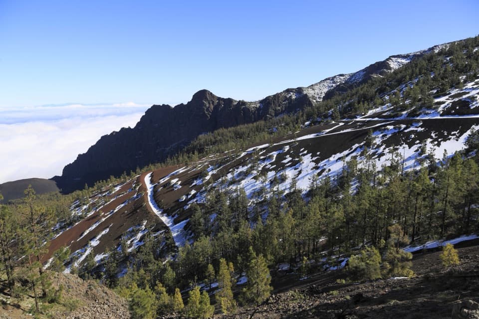 ChallengingCamino a Candelaria: Aguamansa–La Crucita Trail4.5 km · 3.2 hr · 0.6 km awayAn old pilgrimage climb to a high pass above two valleys.
 ModerateCamino a Candelaria: La Crucita–Arafo7.2 km · 3.8 hr · 2.4 km awayA rough lava descent follows the old pilgrimage path into Arafo.
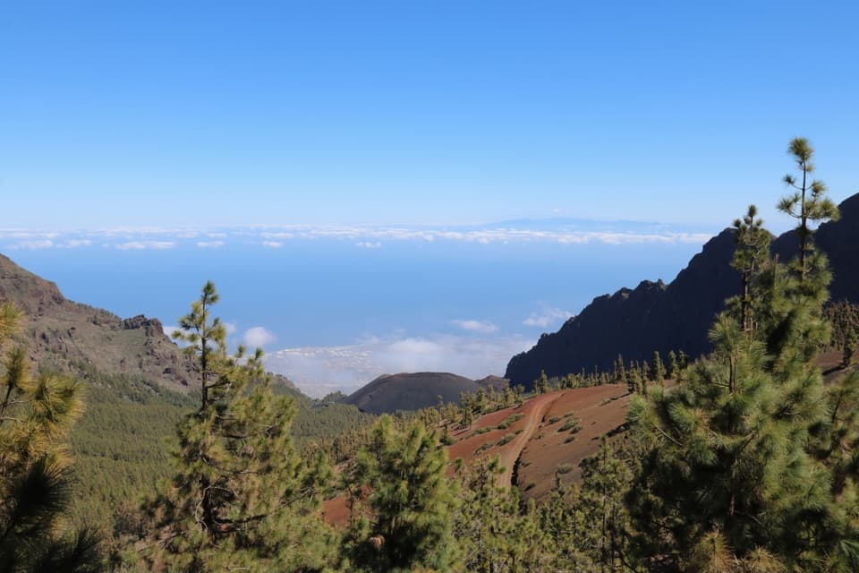 ModeratePNT 17 Igueque Trail2.7 km · 1.8 hr · 3.7 km awayA ridge walk between two valleys and lava bombs.
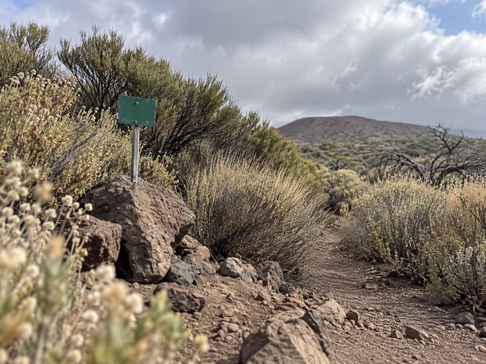 EasyPNT 34 Montaña Limón Trail1.3 km · 30 min · 4.2 km awayA short historic path across Montaña Limón's scrubby slope.
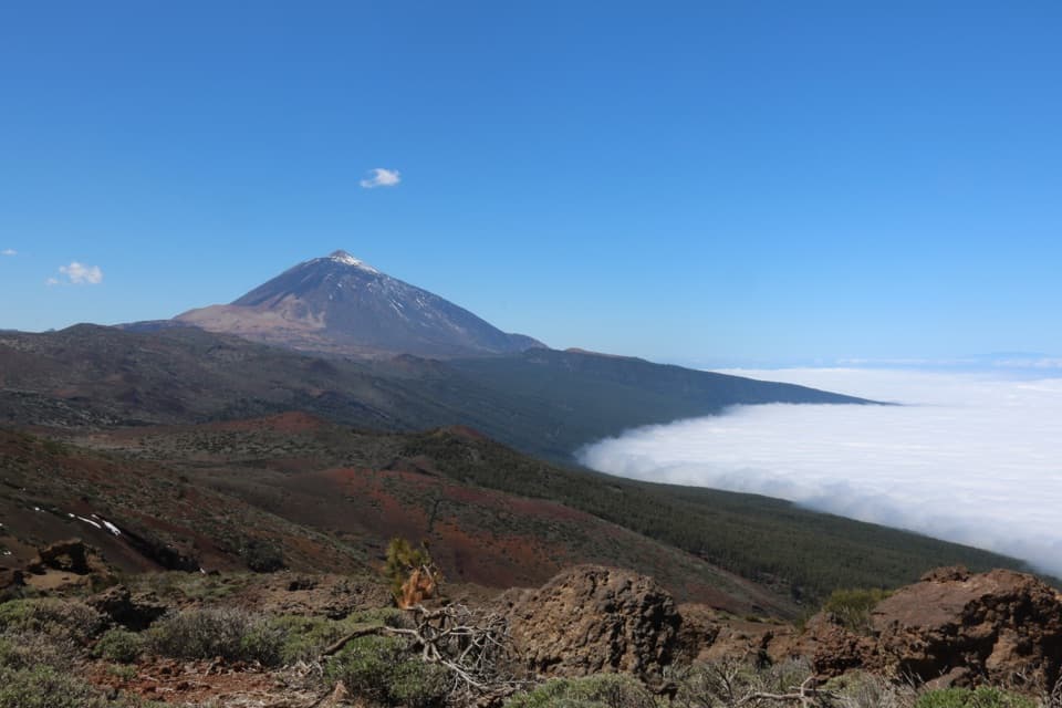 EasyPNT 21 Corral del Niño–Yegua Blanca Trail6.4 km · 2 hr · 6.4 km awayA 4-mile traverse from volcanic cones to wind-bent pines.
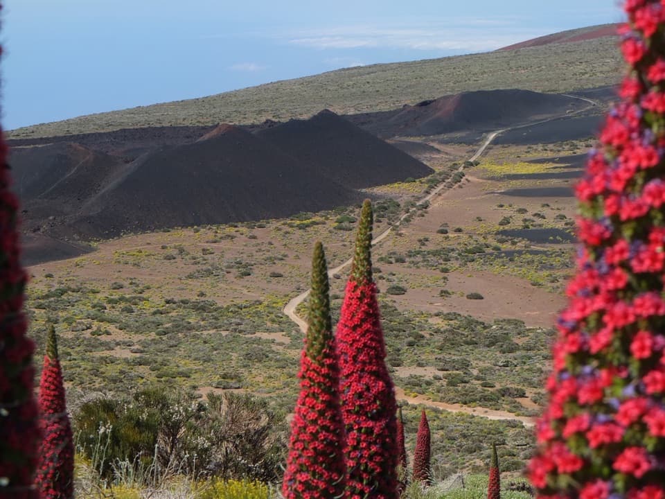 EasyPNT 20 Volcán de Fasnia Loop8.3 km · 2.8 hr · 6.4 km awayA highland loop from older cones to the black 1705 Fasnia cones.
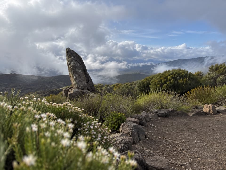 EasyRoque del Caramujo Accessible Trail0.4 km · 15 min · 6.6 km awayA very short, accessible walk to the base of Roque del Caramujo.
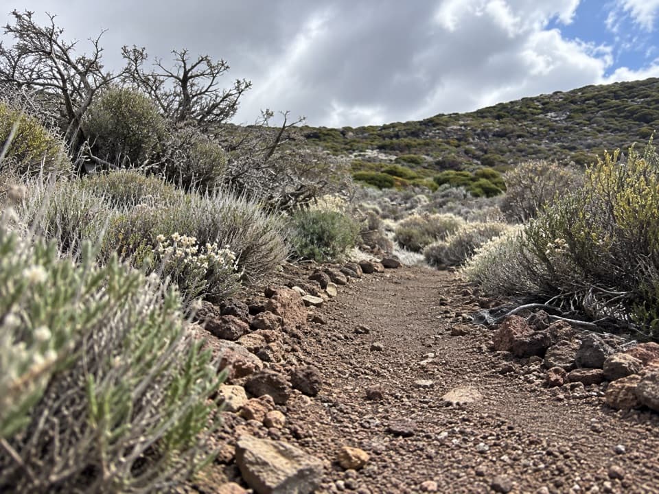 EasyPNT 37 Cerrillar - Carnicería Trail3 km · 1.5 hr · 7.7 km awayA highland traverse from Cerrillar to La Carnicería.
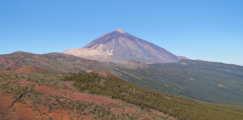 Sight · 2.7 km awayEl Valle ViewpointA quick roadside pause for the Orotava valley and Teide.
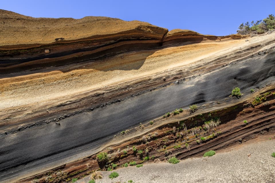 Sight · 2.8 km awayLa Tarta ViewpointTwo pullouts pair the colored layers with a wider island view.
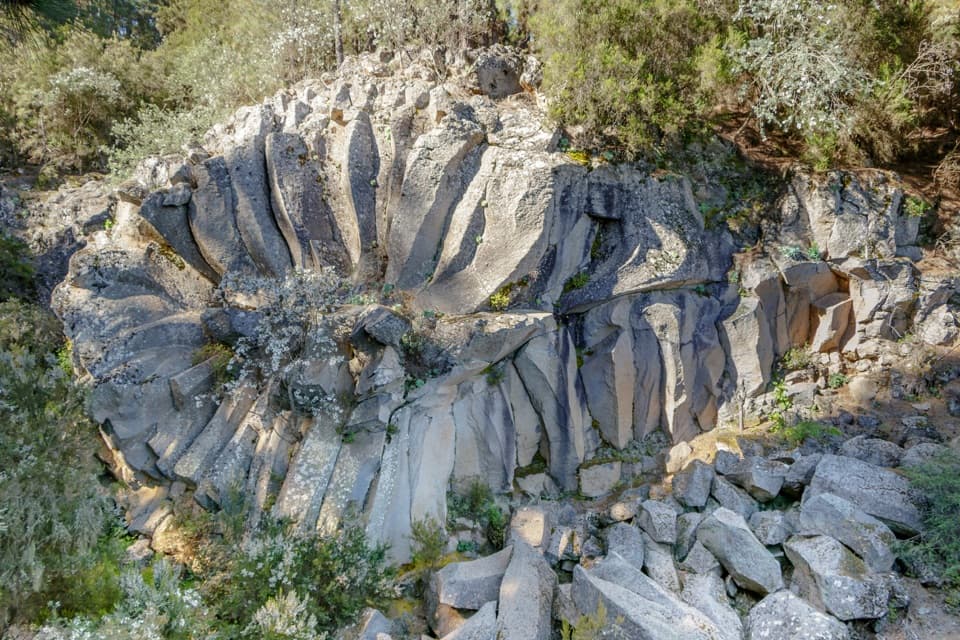 Sight · 3 km awayPiedra de la Rosa ViewpointA flower-shaped volcanic rock beside a west-facing Teide lookout.
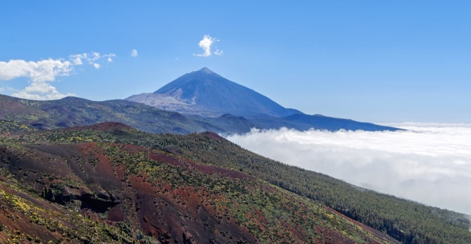 Sight · 3.3 km awayIgueque ViewpointPines, Teide and a cloud sea from the high road.
 Visitor center · 4.6 km awayTelesforo Bravo Visitor CenterA compact coast-to-summit introduction to Tenerife’s volcanic story
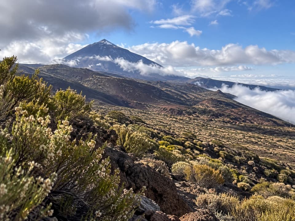 Sight · 4.9 km awayMontaña Limón ViewpointA roadside view of Teide above a valley of fissure-formed cones
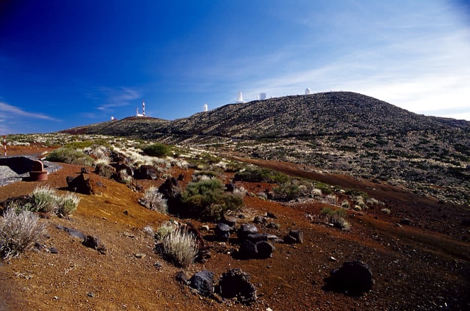 Sight · 6.3 km awayCorral del Niño 1 ViewpointA sunset stop for observatory towers and old volcanic cones.
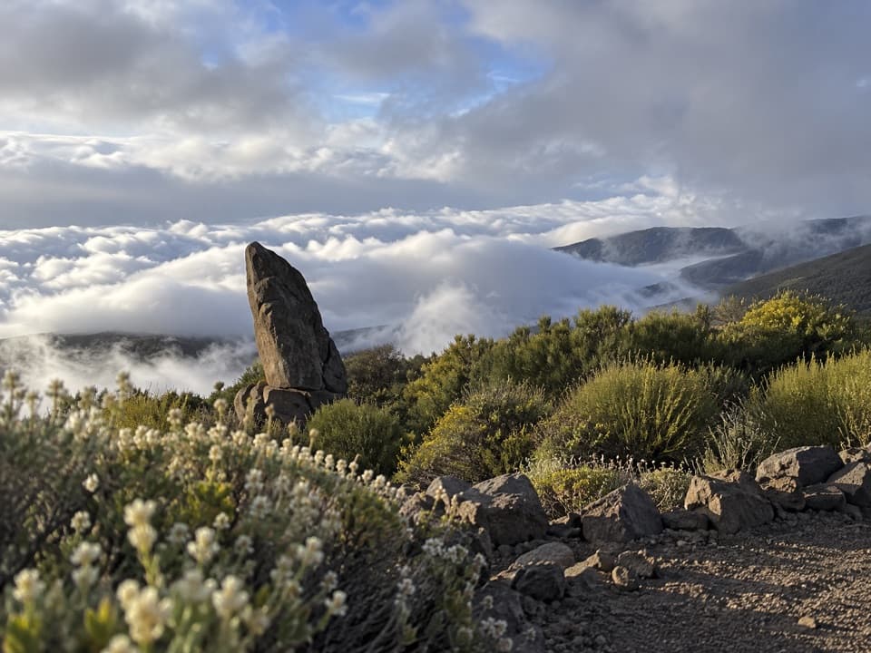 Sight · 6.6 km awayRoque del Caramujo ViewpointA quick path leads to a rocky lookout with Orotava Valley views.
Parkwolf’s Teide ranking

The audio tour guide for the drive, plus offline maps, trails, and wildlife heatmaps for when the signal drops.





