Parking
Start at the end of Queens Road in Lawson. A route description places the access about 2.8 km on foot from Lawson station. Designated parking at the trailhead was not confirmed; keep the access gate clear.

Blue Mountains National Park, NSW
A quiet firetrail walk from Lawson to a forested ridge.
Overview
Map & elevation
Plan your hike

The highest, rockiest slopes around here are a summer buffet for grizzly bears.
Blue Mountains Tour Guide
Parkwolf is a GPS audio tour guide for Blue Mountains National Park. As you drive, it chimes in with what’s ahead: hidden gems, upcoming stops, history, geology, and wildlife, right through your car’s speakers.
See the Blue Mountains audio tourRecorded for this area
The Gum Flower Takes Its Cap Off“A gum flower opens by losing its hat. In a eucalyptus bud, the petals are joined into a little cap that covers the developing flower.”
Plays on the road 1.9 km from the trailhead in the Parkwolf Blue Mountains Tour Guide.
More stories near here in the app
“Fantastic app with many points of information… It’s great to just turn on while you’re driving and it gives you an audio tour of the national Park. We love it!!!!”


Trail guide
Lawson Ridge is an out-and-back from the end of Queens Road, following unsealed access and fire trail through forest toward a rocky ridge. A recent itinerary reports about 9.8 km return and 3–4 hours. The mapped core extends about 5.5 km one way to an unsigned junction, so the exact turnaround remains uncertain; one recent listing also describes a loop while other directions describe an out-and-back. Treat the mileage and endpoint as approximate.
Expect unsealed road and open fire trail for most of the walk. Older route notes describe a faint, leaf-covered continuation beyond a clearing; progress may slow and navigation becomes less certain if you continue. A rocky shelf opens toward wooded ridges, with occasional distant views, while much of the walk stays among forest.
The trailhead is at the end of Queens Road in Lawson. A route description places it about 2.8 km on foot from Lawson station. Pets are not permitted in the national park; trained assistance animals working are allowed in areas open to the public.
Wildlife
 58 sightingsGrey KangarooMost seen around 6 AMSighting map
 43 sightingsWombatMost seen around 6 PMSighting map
 18 sightingsRed-necked WallabyMost seen around 6 PMSighting map
 53 sightingsSwamp WallabyMost seen around 7 AMSighting map
 23 sightingsBrushtail PossumMost seen around 7 PMSighting map
 30 sightingsRing-tailed PossumMost seen around 7 PMSighting map
Sighting maps show where each species has been reported across Blue Mountains. Wildlife moves, so no sighting is guaranteed.
Keep exploring
 ModerateEmpire Pass loop5.5 km · 2.5 hr · 2 km awayFour falls, rainforest steps, and one turn worth watching.
 ModerateTransit of Venus walking track4 km · 2 hr · 3.6 km awayA shaded forest loop links three small falls near Woodford.
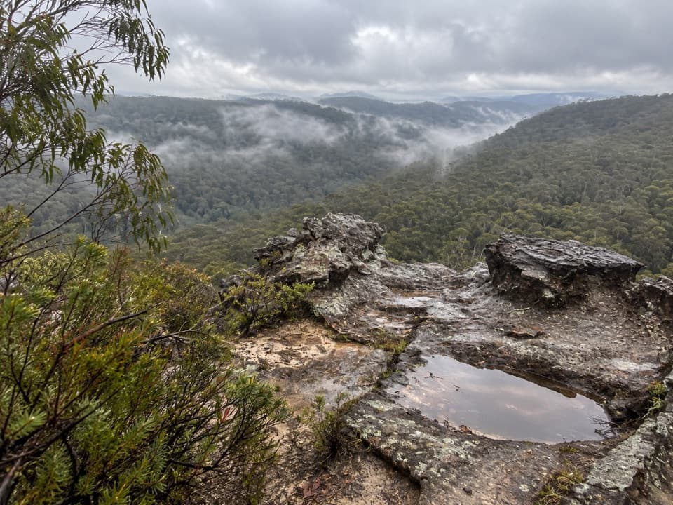 ModerateLinden Ridge Firetrail14.5 km · 3.5 hr · 4.2 km awayA long ridge firetrail with intermittent sandstone views.
 ModerateParadise Pool walking track2.6 km · 1.5 hr · 4.8 km awayA pool below a waterfall rewards the rocky walk back out.
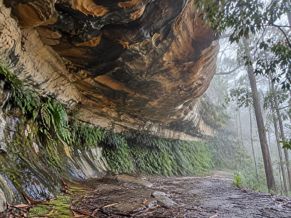 EasyKings Cave walk0.3 km · 20 min · 5.1 km awayA quick walk to a broad sandstone shelter in Linden.
 ModerateWoodford – Oaks trail17.4 km · 5.5 hr · 5.2 km awayOpen heath and eucalypt forest make this a satisfying one-way walk.
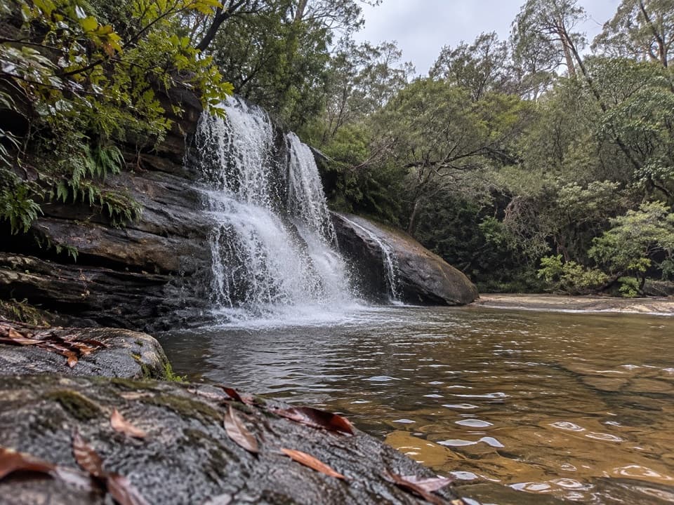 ModerateWoodford to Murphys Glen and Bedford Creek10 km · 4.2 hr · 5.8 km awayForest tracks lead to waterfalls and a deep sandstone creek pool.
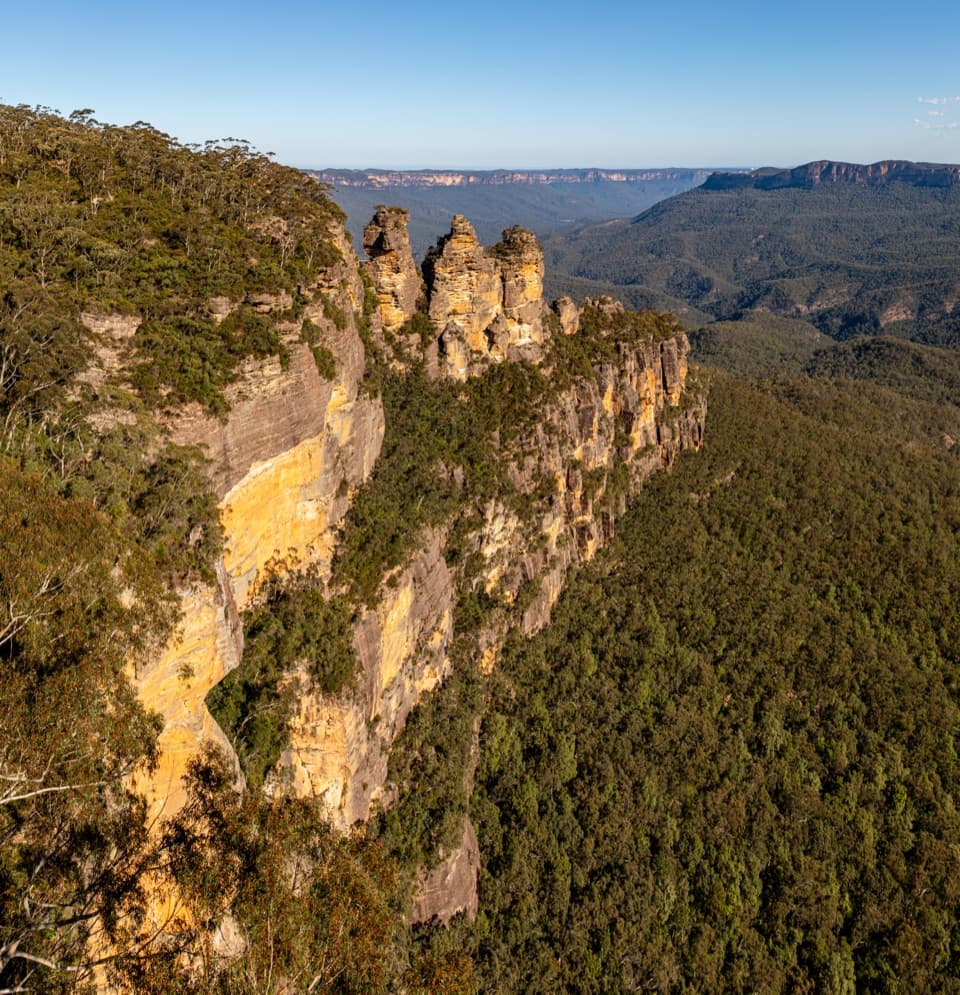 ModerateGrand Cliff Top Walk19 km · 10.5 hr · 6.7 km awayTwo days linking waterfalls, cliff views and mountain villages.
 Sight · 7 km awayWeeping RockA sandstone creek cascade tucked off the Wentworth Falls circuit.
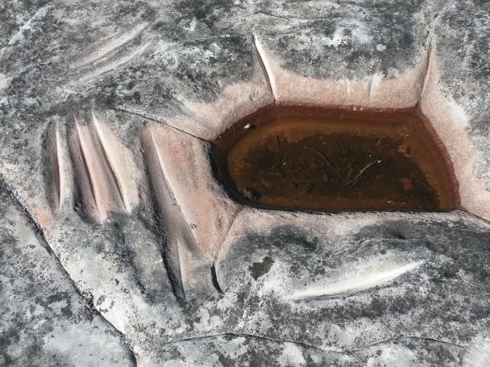 Sight · 7 km awayKings Tableland Aboriginal PlaceGrinding grooves and carved animal tracks reward this remote 4WD detour.
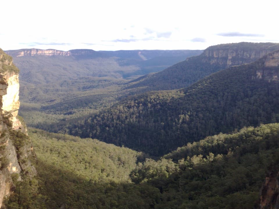 Sight · 7.1 km awayFletchers LookoutA 200-step descent gets you close to Wentworth Falls.
 Sight · 7.1 km awayWentworth FallsA 100-metre plunge rewards the steep walk down.
 Sight · 7.2 km awayRocket Point lookoutA steep spur gives you a different angle on Wentworth Falls.
 Sight · 7.2 km awayWentworth Falls LookoutSandstone cliffs open onto the Jamison Valley.
 Sight · 7.3 km awayPrinces Rock LookoutA close view of Wentworth Falls, reached by a stair-heavy track.
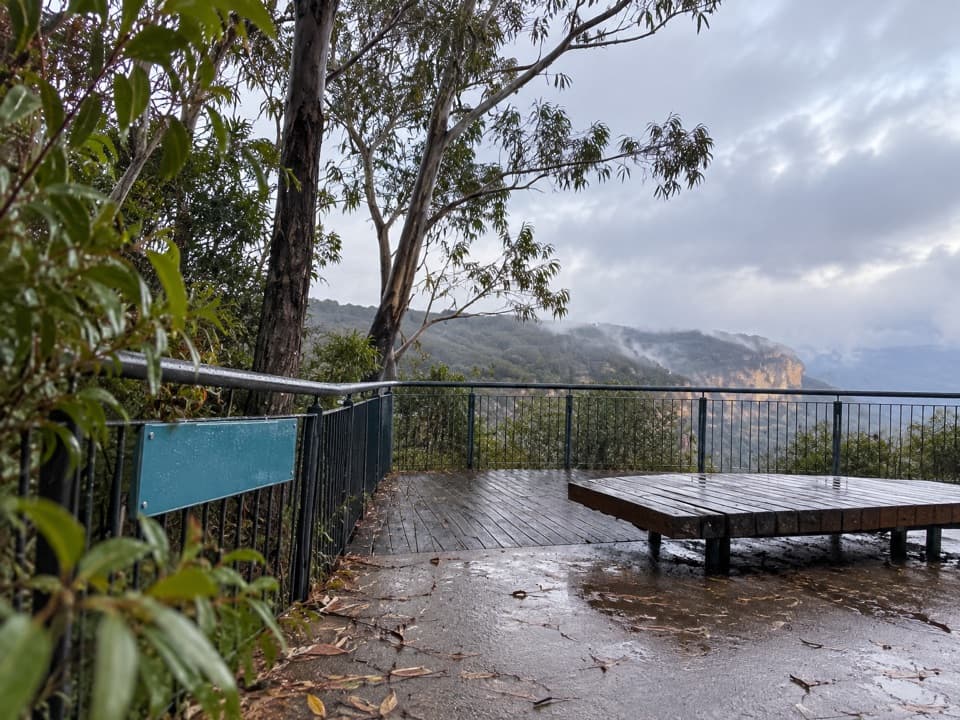 Picnic area · 7.4 km awayWentworth Falls picnic areaA picnic with Jamison Valley views and waterfall walks nearby.
Parkwolf’s Blue Mountains ranking

The audio tour guide for the drive, plus offline maps, trails, and wildlife heatmaps for when the signal drops.





