
All Franconia Notch trails
29 trails
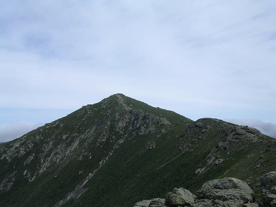 1Franconia Ridge Trail LoopA full-day loop over three exposed summits above Franconia Notch.
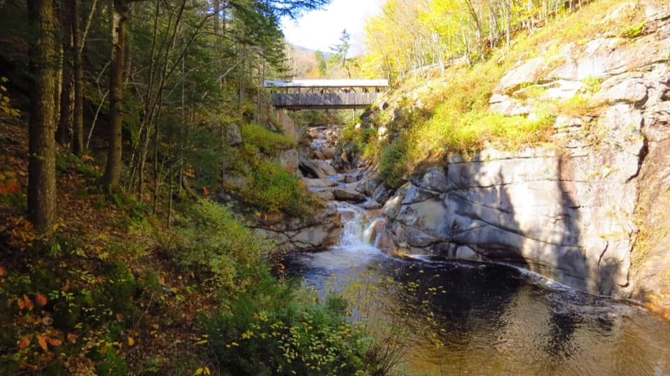 2Flume Gorge TrailA two-mile loop through a granite gorge, waterfalls, and a glacial pool.
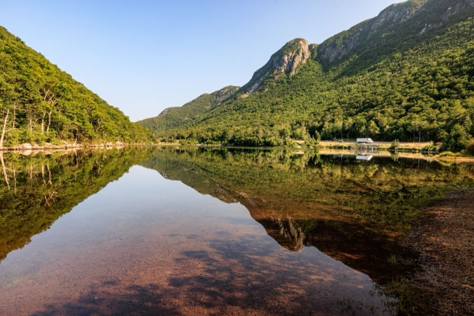
 3Artists Bluff and Bald Mountain LoopEcho Lake below, big peaks ahead, in a short two-viewpoint loop.
 4Lonesome Lake TrailA climb to a glacial lake with Franconia Ridge across the water.
 5Basin Cascade TrailCascade Brook's granite ledges and small falls earn the extra walk.
 6Mount Pemigewasset TrailA steady forest climb to an open granite summit above the Notch.
 7Cannon Mountain via Kinsman Ridge TrailA hard climb earns a clear view across Franconia Ridge.
 8Mount Liberty via Liberty Spring TrailSteep climb, big summit views, and Mount Flume’s slides.
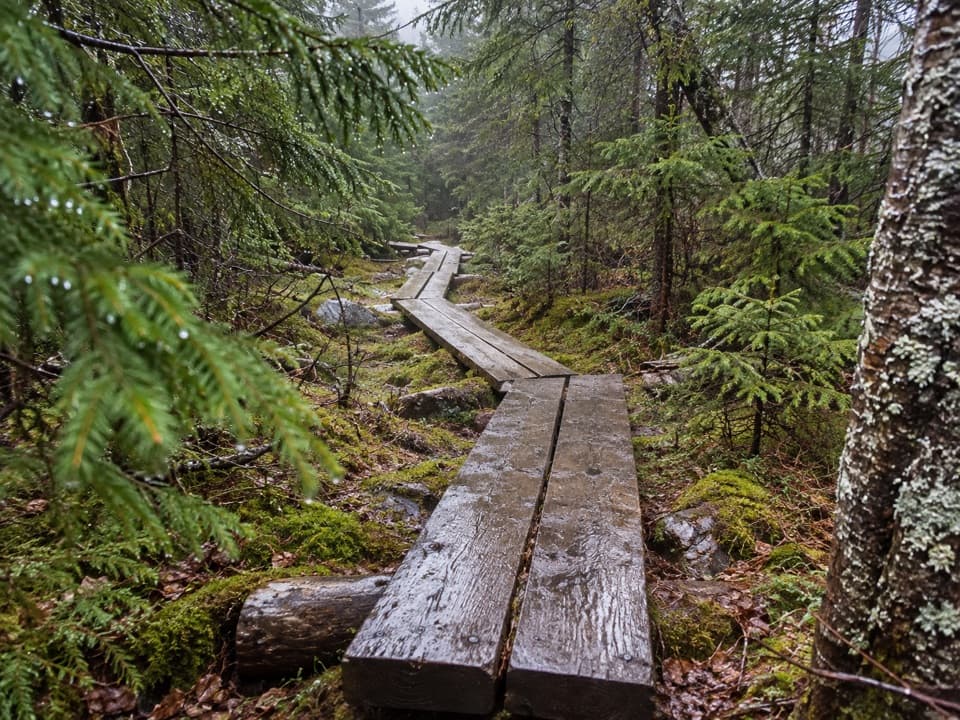 9North and South Kinsman via Fishin’ Jimmy TrailA long, rough climb links two Kinsman summits above Franconia Notch.
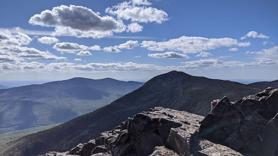 10Mount Liberty and Mount Flume via Liberty Spring TrailTwo rugged summits, a rocky ridge traverse, and broad mountain views.
 11Falling Waters TrailWaterfalls up front; Little Haystack is the hard part.
 12Old Bridle Path to Greenleaf HutA steep hut climb with two open ledges and Franconia Notch views.
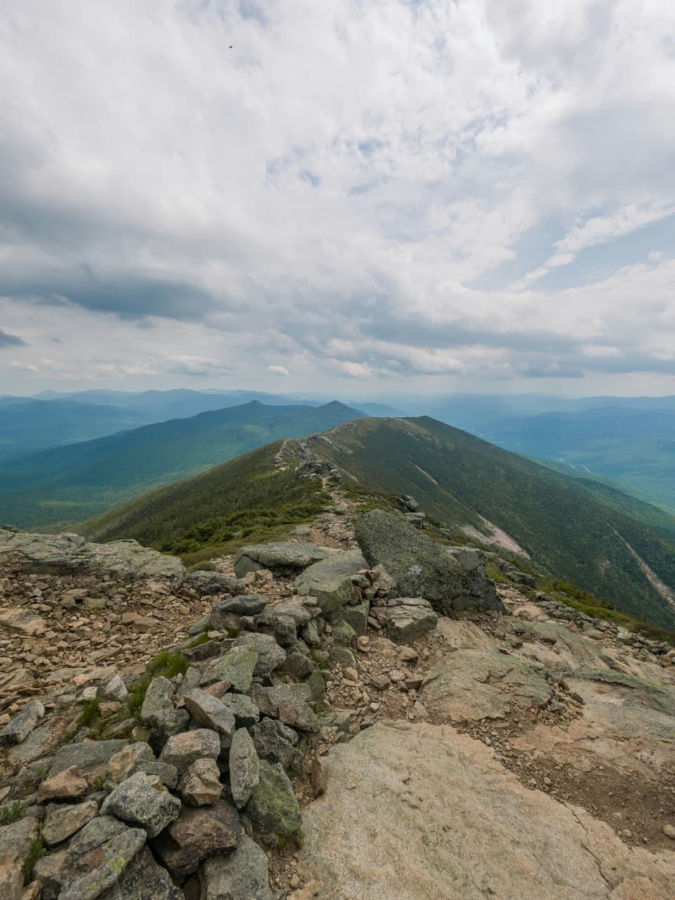 13Franconia Ridge TraverseFour 4,000-footers, a long day, and miles of exposed ridge.
 14Mount Lafayette via Greenleaf TrailEagle Pass, Greenleaf Hut, and a hard climb to Lafayette.
 15Hi-Cannon TrailA steep Cannon climb with a ladder and a Lonesome Lake finish.
 16Mount Lafayette via Skookumchuck TrailA full-day climb to Lafayette’s quieter north ridge.
 17Franconia Notch Recreation PathAn 8.8-mile path linking Franconia Notch’s lakes and landmarks.
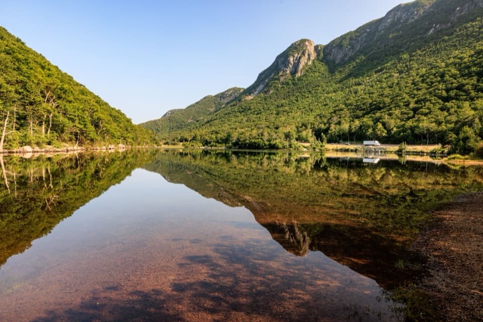 18Profile Lake via Pemi TrailA short, rocky shore walk below Eagle Cliff
 19Bald Mountain TrailA short scramble to open rock and Franconia Notch views.
 20Pemi TrailA rough river trail connects Profile Lake with The Basin.
 21Cascade Brook TrailA brookside climb ends at Lonesome Lake beside an AMC hut.
 22Indian Head TrailA rocky climb to open summit ledges with broad views.
 23Kinsman Pond TrailA rough, wet climb to a high pond and backcountry shelter
 24Fishin’ Jimmy TrailLadders, slick ledges and a pond-side shelter make this AT leg count.25Appalachian Trail: Beaver Brook to Mount GarfieldA rugged, exposed 23-mile Appalachian Trail traverse to Mount Garfield.26Cannon Mountain Rim Trail LoopA short summit loop with Franconia Notch views and exposed ledges.
 27Kinsman Ridge TrailA full day across Cannon, the Cannon Balls, and both Kinsmans.
 28Garfield Ridge TrailA 5.6-mile traverse over Garfield Ridge toward Mount Lafayette.
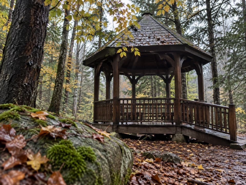 29Roaring River Memorial Nature TrailA short woodland loop with a 1988 memorial gazebo.

The highest, rockiest slopes around here are a summer buffet for grizzly bears.
Franconia Notch Tour Guide
Franconia Notch, narrated.
Parkwolf is a GPS audio tour guide for Franconia Notch State Park. As you drive, it chimes in with what’s ahead: hidden gems, upcoming stops, history, geology, and wildlife, right through your car’s speakers.
See the Franconia Notch audio tourRecorded for this place
Flume Gorge and the Full Loop0:00 / 0:33
“You're coming up on the entrance to Flume Gorge, where boardwalks take you between high granite walls beside rushing water. I'd stop if you have about an hour and a half to two hours for the full two-mile circuit.”
Plays as you drive up to Flume Gorge in the Parkwolf Franconia Notch Tour Guide.
More stories near here in the app
- Mount Liberty via Liberty Spring Trail
- Mount Pemigewasset and the Indian Head Profile
- The Storm That Changed the Flume
- The Rock Missing from the Flume
- 32 audio storiesacross Franconia Notch’s roads, triggered by GPS as you drive
- Wildlife heatmapsfor Black Bear, Moose, Wild Turkey, and 13 more
- Works offlinemaps, 29 trails, 33 places, and audio download before you lose signal
- CarPlay readysimple controls built for the drive
“Fantastic app with many points of information… It’s great to just turn on while you’re driving and it gives you an audio tour of the national Park. We love it!!!!”

