
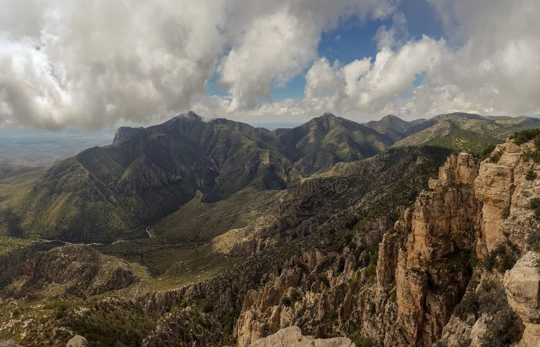
All Guadalupe Mountains trails
32 trails
 1Guadalupe Peak TrailClimb 3,000 feet to the highest point in Texas.
 2The Grotto and Hunter Line ShackA seven-mile canyon walk to shaded stone seats and ranch history.
 3McKittrick Canyon Trail to The NotchGentle canyon miles lead to a steep, rocky climb to the Notch.
 4Hunter Peak LoopBear Canyon up, Tejas down, and a summit over the desert.
 5Devil's Hall TrailBoulder scrambling leads to a natural staircase and narrow canyon hall.
 6Smith Spring Trail LoopA desert loop to a shady spring and tiny waterfall.
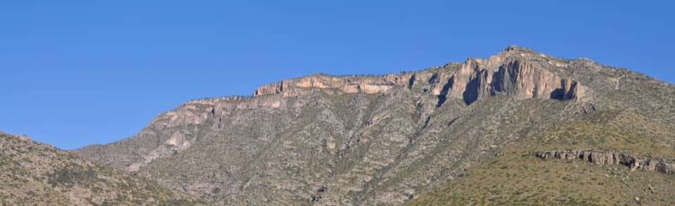 7Permian Reef TrailFossil markers reward the steep climb to ridge and canyon views.
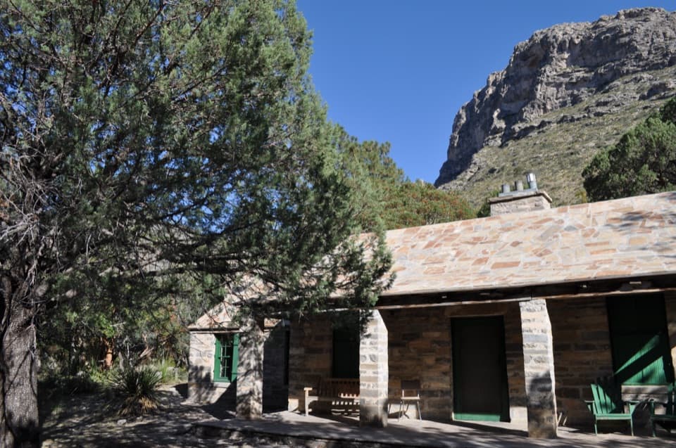 8Pratt Cabin TrailA 4.8-mile canyon walk to a historic stone cabin
 9Salt Basin Dunes TrailWalk white gypsum dunes beneath Guadalupe’s western escarpment.
 10Bowl TrailA long Tejas climb reaches a remnant forest in the high country.
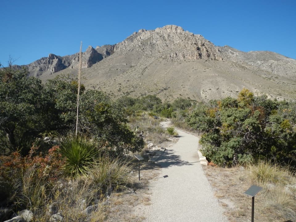 11Pinery TrailA quick paved walk to an 1858 Butterfield stage station.
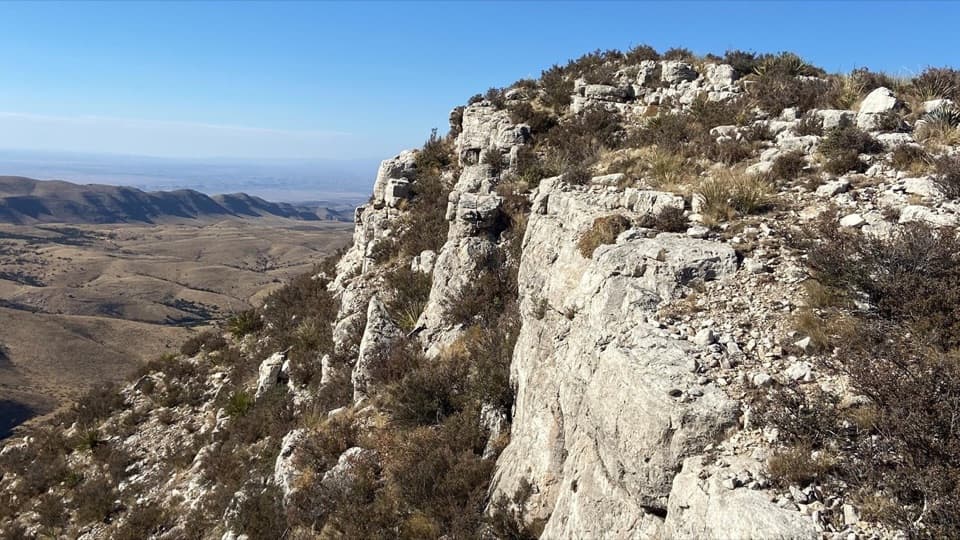 12Lost Peak SaddleWest and south views, with no trail to Lost Peak's summit.
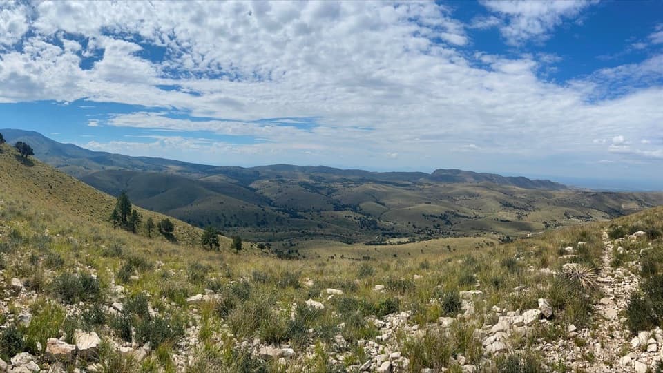 13Marcus OverlookA rocky high-country hike to broad southern and western views.
 14Salt Basin Overlook TrailA long, open loop to the Salt Basin’s wide western views.
 15Bush Mountain Summit HikeA long ridge hike to Texas’s second-highest summit.
 16McKittrick Ridge Trail from McKittrick CanyonFour canyon miles, a steep climb, and no water at camp.
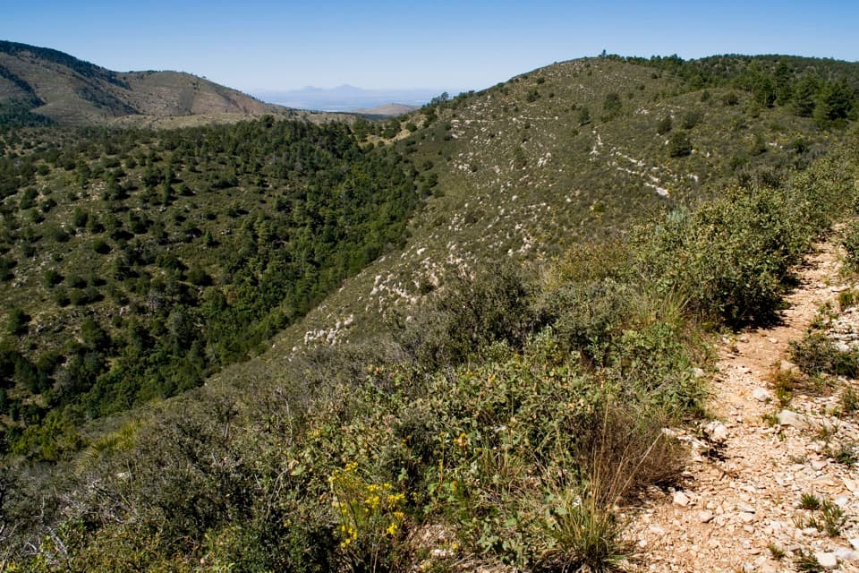 17McKittrick Ridge from Dog CanyonA 14.8-mile out-and-back to open views from McKittrick Ridge.
 18Tejas Thru HikeCross the park’s high country from the Bowl to Dog Canyon.
 19McKittrick Canyon to Dog CanyonA canyon climb, a high ridge, and a finish in Dog Canyon.20Pine Springs to McKittrick CanyonA long high-country traverse ending in South McKittrick Canyon.
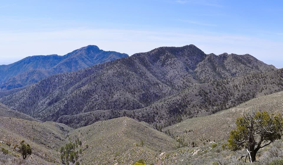 21Bush Mountain–Blue Ridge LoopA full-day ridge loop crosses Texas’s second-highest summit.
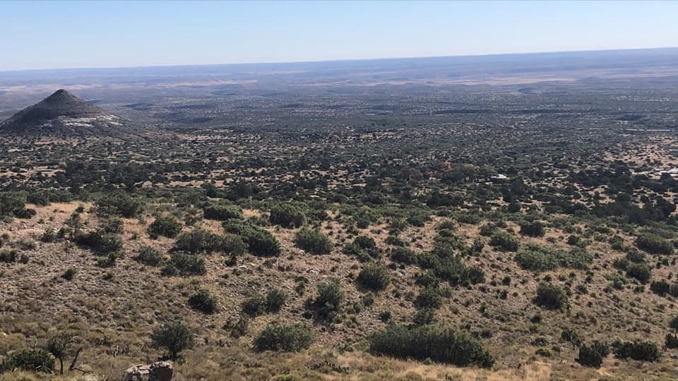 22Foothills LoopOpen grassland and juniper, with Bear Canyon and El Capitan views.23Lost Peak–Marcus LoopA big northern loop, where Lost Peak gives way to grassland.
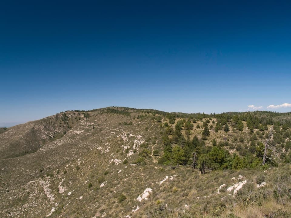 24Bush Mountain–Blue Ridge–Marcus LoopA full-day high-country loop with a route-finding sting.
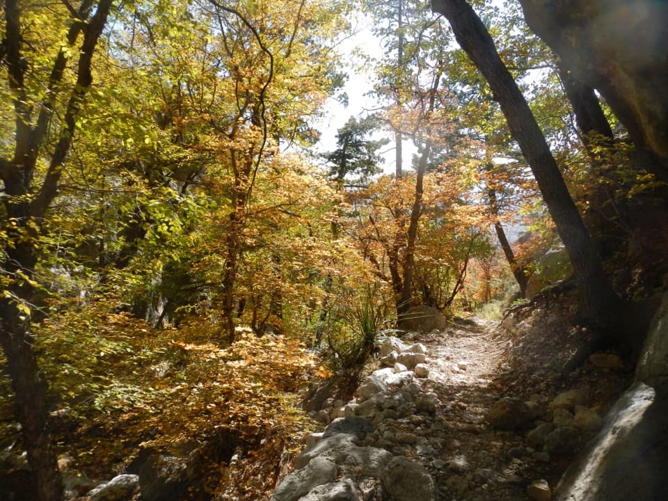 25Bear Canyon–Juniper–Tejas LoopSteep Bear Canyon, the Bowl's remnant forest, and a long Tejas return.
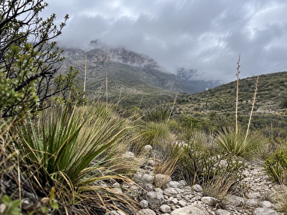 26McKittrick Canyon Nature TrailA compact desert loop for geology, junipers and a canyon view.
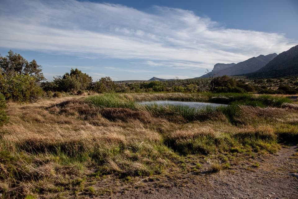 27Manzanita Spring TrailA short paved walk through an old orchard to a spring.28El Capitan TrailA long desert crossing to an abandoned ranch house
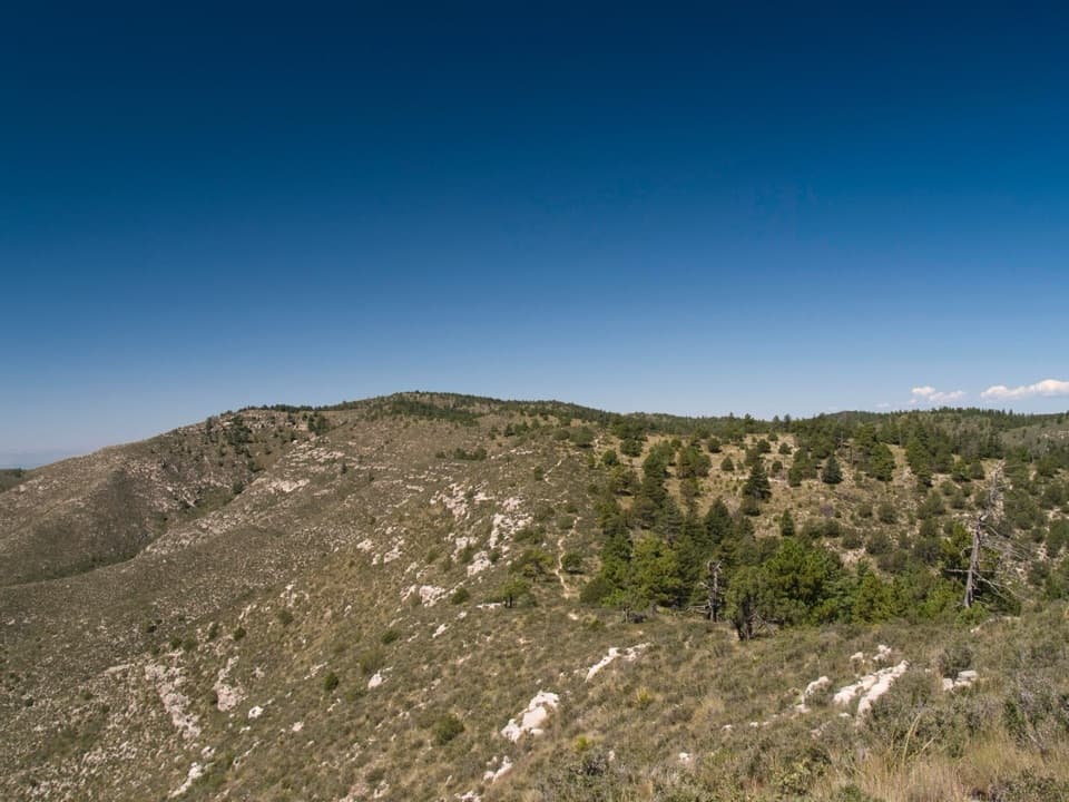 29Bush Mountain Trail TraversePine Springs to Dog Canyon, across 16 miles of high country.
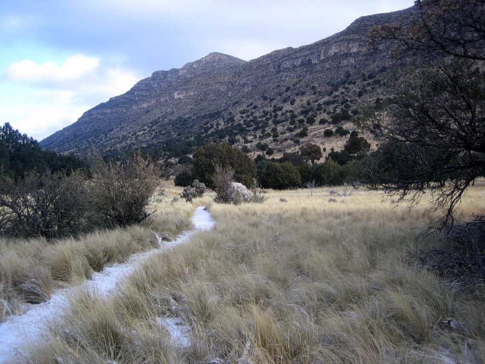 30Indian Meadow Nature TrailA short nature loop through Dog Canyon's varied habitats.
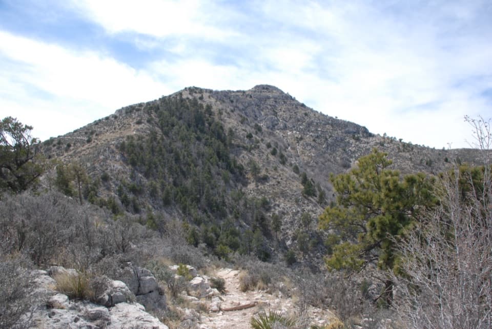 31Guadalupe Ridge TrailA rugged multi-park crossing from White’s City to Texas’s highest peak.
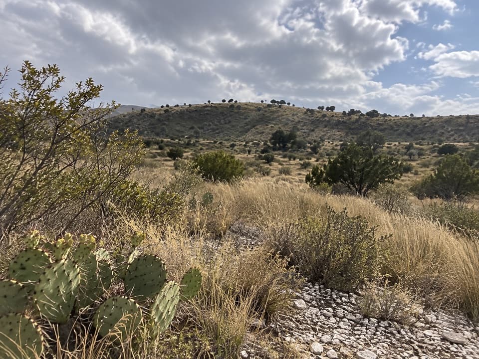 32Manzanita Ridge RouteA faint ridge connector from Tejas to Bush Mountain.
The highest, rockiest slopes around here are a summer buffet for grizzly bears.
Guadalupe Mountains Tour Guide
Guadalupe Mountains, narrated.
Parkwolf is a GPS audio tour guide for Guadalupe Mountains National Park. As you drive, it chimes in with what’s ahead: hidden gems, upcoming stops, history, geology, and wildlife, right through your car’s speakers.
Recorded for this place
Pine Springs: The Guadalupe Peak Climb0:00 / 0:24
“You're nearing Pine Springs Trailhead, where the climb to Guadalupe Peak begins.”
Plays as you drive up to Guadalupe Peak in the Parkwolf Guadalupe Mountains Tour Guide.
More stories near here in the app
- Pine Springs Visitor Center and the Pinery
- Why an Airline Marked the Summit
- Why Vultures Circle
- El Capitan Viewpoint: A Reef Above the Road
- 22 audio storiesacross Guadalupe Mountains’s roads, triggered by GPS as you drive
- Wildlife heatmapsfor Aoudad, Mule Deer, Wild Turkey, and 13 more
- Works offlinemaps, 32 trails, 34 places, and audio download before you lose signal
- CarPlay readysimple controls built for the drive
“Fantastic app with many points of information… It’s great to just turn on while you’re driving and it gives you an audio tour of the national Park. We love it!!!!”

