Parking
Use the parking at Dunphys Campground. Access passes through three gates on private property; leave them as found. The final 5 km is narrow, steep and unsealed, and can become boggy after rain.
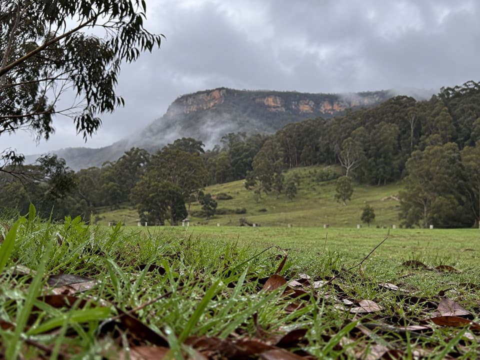
Blue Mountains National Park, NSW
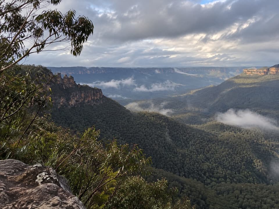
Open forest tracks lead to a broad lookout above Carlons Creek.
Overview
Map & elevation
Plan your hike

The highest, rockiest slopes around here are a summer buffet for grizzly bears.
Blue Mountains Tour Guide
Parkwolf is a GPS audio tour guide for Blue Mountains National Park. As you drive, it chimes in with what’s ahead: hidden gems, upcoming stops, history, geology, and wildlife, right through your car’s speakers.
See the Blue Mountains audio tourRecorded for this trailhead
Dunphys Campground and the Wild Dog Mountains“You're nearing Dunphys campground, a grassy clearing with views toward Mount Cloudmaker and the Wild Dog Mountains. I'd choose it for a remote camping base, with a chance of kangaroos or wombats visiting the grass.”
Plays as you drive up to this trailhead in the Parkwolf Blue Mountains Tour Guide.
More stories near here in the app
“Fantastic app with many points of information… It’s great to just turn on while you’re driving and it gives you an audio tour of the national Park. We love it!!!!”


Trail guide
Bellbird Lookout Track is an out-and-back from Dunphys Campground to an exposed viewpoint on Bellbird Ridge. The mapped route is about 2.9 miles (4.7 km) round trip and takes around 1.5–2 hours with time at the lookout. Follow the campground footpath, continue along Bellbird Ridge Management Trail, then join the named lookout track and return the same way.
Most of the walk follows fire trail and open forest tracks. One walk account describes it as easy; a visitor at the lookout reports a steeper start that eases along the ridge, so expect some climbing rather than a level stroll. Park information confirms a short walk from the campground to Bellbird Point but does not give turn-by-turn directions for the mapped connector. Check a current route map and confirm that the management-track section is open to walkers before setting out.
At Bellbird Point, look across Carlons Creek to Ironpot Mountain, and along the Breakfast Creek valley toward the Cox’s River and the Wild Dog Mountains. The final viewpoint is an unprotected rock edge, not a fenced platform; keep back from the edge. A 2.5 km figure sometimes associated with this walk describes a return sidetrack from farther along the ridge route, not the full campground outing.
Park at Dunphys Campground. It has non-flush toilets, picnic tables and coin-operated gas or electric barbecues; bring drinking water. The drive crosses private property through three gates—leave them as you found them—and the final 5 km is narrow, steep and unsealed, with boggy conditions possible after rain. Pets are prohibited in the park, and mobile reception is limited.
Wildlife
 58 sightingsGrey KangarooMost seen around 6 AMSighting map
 43 sightingsWombatMost seen around 6 PMSighting map
 18 sightingsRed-necked WallabyMost seen around 6 PMSighting map
 53 sightingsSwamp WallabyMost seen around 7 AMSighting map
 23 sightingsBrushtail PossumMost seen around 7 PMSighting map
 30 sightingsRing-tailed PossumMost seen around 7 PMSighting map
Sighting maps show where each species has been reported across Blue Mountains. Wildlife moves, so no sighting is guaranteed.
Keep exploring
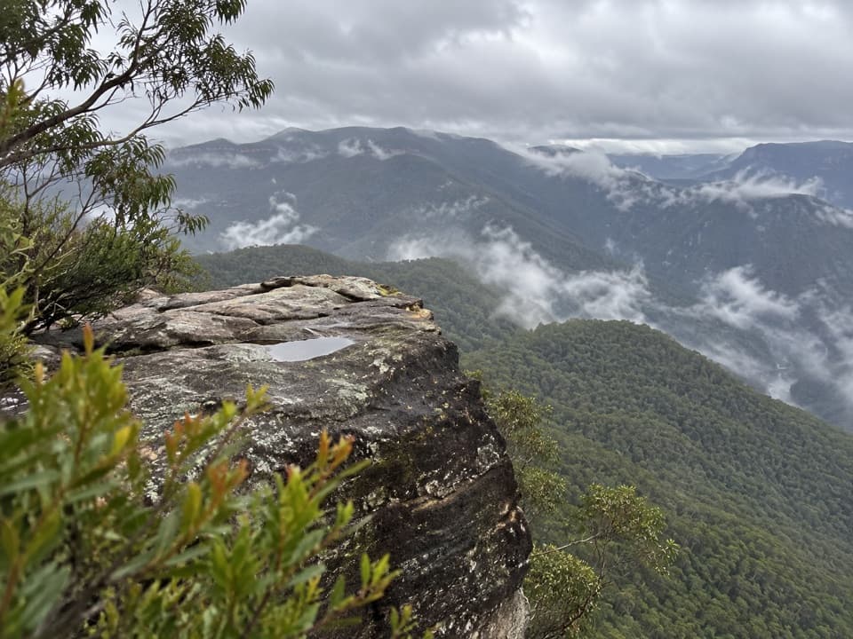 ChallengingSplendour Rock from Dunphys campground23.5 km · 9 hr · At the trailheadA remote two-day circuit to a cliff-top war memorial.
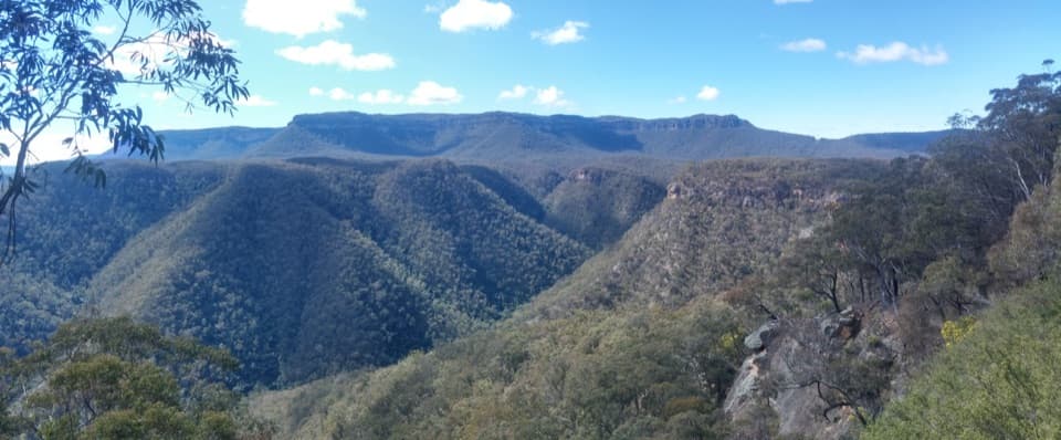 ChallengingWild Dog Mountains Loop from Dunphys Campground14.9 km · 6.2 hr · At the trailheadA remote, full-day ridge loop with broad views across sandstone valleys.
 ChallengingBlue Dog Ridge Loop17.9 km · 8 hr · 0.2 km awayA remote ridge circuit with 1,300 metres of climbing
 ModerateNarrow Neck trail19 km · 5.5 hr · 7.1 km awayA long plateau walk to Clear Hill above two deep valleys.
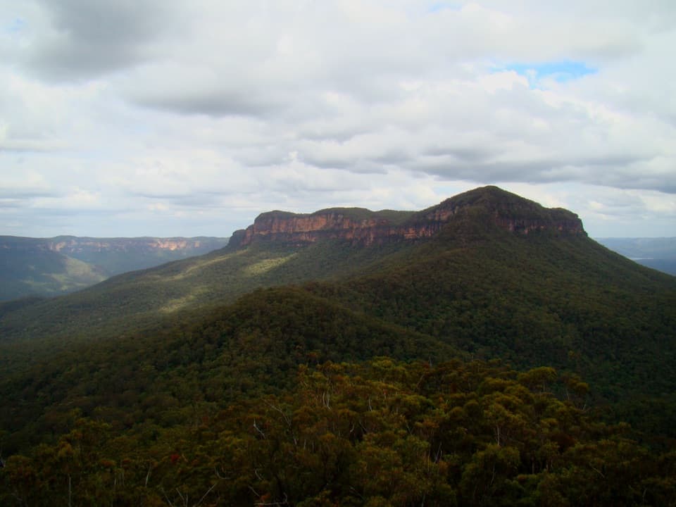 ChallengingMount Solitary via Golden Stairs12.7 km · 8.5 hr · 7.8 km awayA full-day climb from rainforest to a remote sandstone summit.
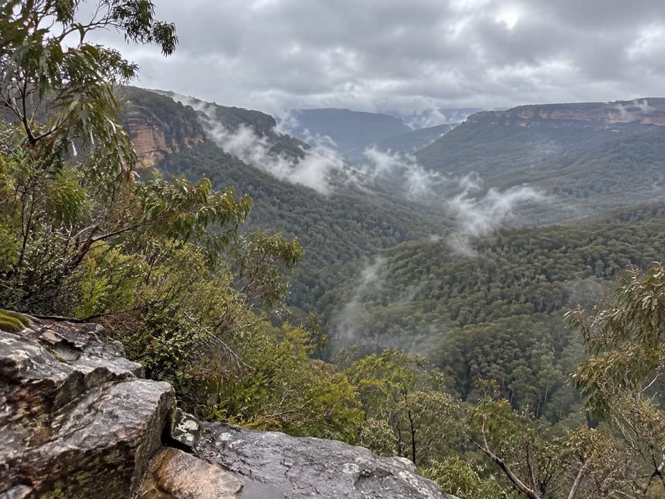 ChallengingGolden Stairs walking track1.6 km · 1.3 hr · 7.8 km awayA steep stairway down to Federal Pass, with the climb waiting.ChallengingRuined Castle walking track8.2 km · 5 hr · 7.8 km awayA steep valley hike to sandstone outcrops and mining history.
 EasyScenic Walkway1.9 km · 50 min · 9.2 km awayA ticketed rainforest boardwalk links valley stations beneath the canopy.
 Campground · At the trailheadDunphys campgroundA grassy base for Cox’s River walks and mountain views.
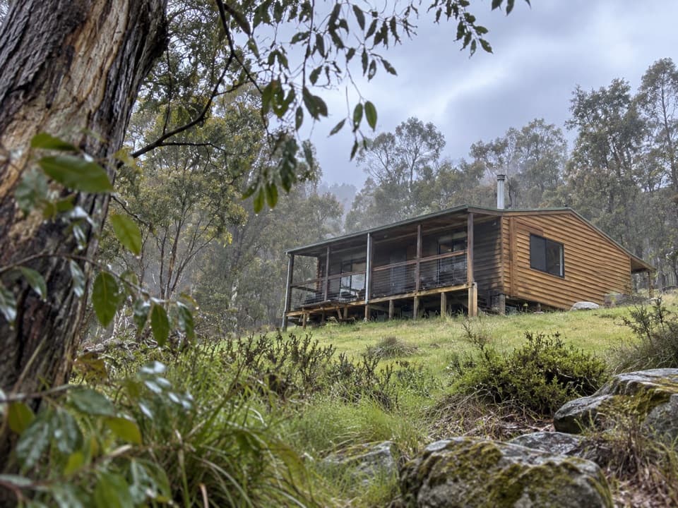 Lodging · 0.4 km awayGalong CabinsA quiet valley stay in cabins once used by pack saddlers.
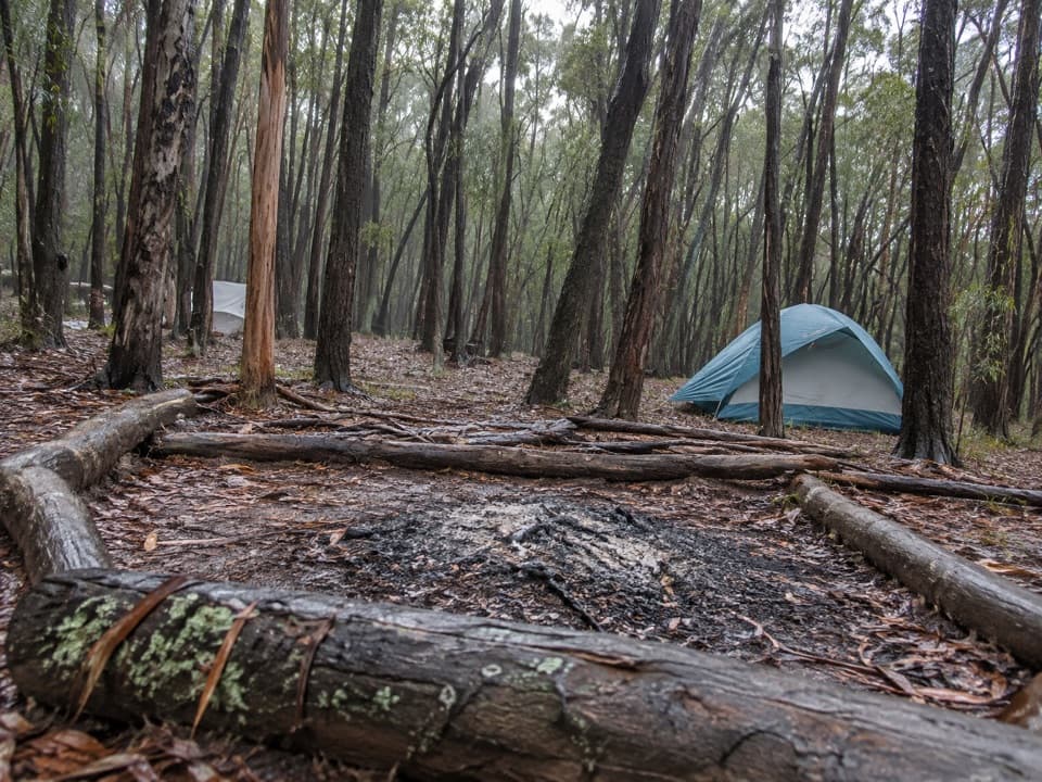 Campground · 5.6 km awayMobbs Swamp campgroundA remote overnight stop on the Kanangra to Katoomba walk
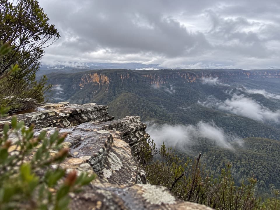 Sight · 6.5 km awayCastle Head LookoutA rocky headland with views over Mount Solitary and the valley
 Sight · 6.6 km awayRuined CastleA steep valley hike to a sandstone summit with wide views.Campground · 6.7 km awayRuined Castle campgroundA remote overnight base for a steep walk to Jamison Valley views.Sight · 9 km awayNarrow Neck LookoutA quick stop for the Jamison and Megalong valleys.
 Sight · 9.1 km awayEagle Hawk LookoutA quieter Jamison Valley view toward the Three Sisters.
Parkwolf’s Blue Mountains ranking

The audio tour guide for the drive, plus offline maps, trails, and wildlife heatmaps for when the signal drops.





