Parking
Use the Dunphys Campground car park at the end of Megalong Valley. The access road crosses private property; drive slowly, watch for livestock and leave gates as you find them.
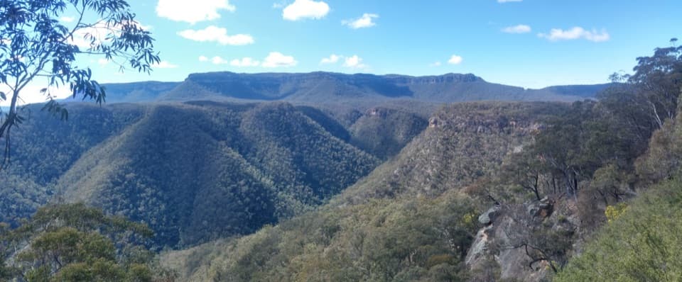
Blue Mountains National Park, NSW
A remote, full-day ridge loop with broad views across sandstone valleys.
Overview
Map & elevation
Plan your hike

The highest, rockiest slopes around here are a summer buffet for grizzly bears.
Blue Mountains Tour Guide
Parkwolf is a GPS audio tour guide for Blue Mountains National Park. As you drive, it chimes in with what’s ahead: hidden gems, upcoming stops, history, geology, and wildlife, right through your car’s speakers.
See the Blue Mountains audio tourRecorded for this trailhead
Dunphys Campground and the Wild Dog Mountains“You're nearing Dunphys campground, a grassy clearing with views toward Mount Cloudmaker and the Wild Dog Mountains. I'd choose it for a remote camping base, with a chance of kangaroos or wombats visiting the grass.”
Plays as you drive up to this trailhead in the Parkwolf Blue Mountains Tour Guide.
More stories near here in the app
“Fantastic app with many points of information… It’s great to just turn on while you’re driving and it gives you an audio tour of the national Park. We love it!!!!”


Trail guide
The Wild Dog Mountains circuit is a 14.9 km loop from Dunphys Campground through remote bush paths and management trails in the southern Megalong Valley. It is a long ridge walk with open views over forested sandstone country and about 700 m of climbing. The mapped route here is the main circuit, not the separate walk to Splendour Rock. Fit hikers comfortable navigating beyond busy, signed day-use areas should allow about six hours on the trail, plus breaks.
Published time estimates differ: one map-based calculation gives 4 hours 10 minutes of walking before breaks, while another gives 6 hours 10 minutes. Plan around the longer estimate and leave extra daylight for navigation and stops.
The circuit leaves Dunphys along Carlon Creek, climbs towards Black Horse Ridge, then swings around the Blue Dog Ridge area. It returns north on the Medlow Gap and Bellbird Ridge management trails. Expect a mix of narrower bush footpaths and wider management tracks. The connected tracks and substantial climb make it useful to check your position at junctions.
Some descriptions list peaks and Splendour Rock with this area, but they are outside the main loop stored here. Splendour Rock via Wombat Parade is a separate 17.7 km return walk, not an extension included in this distance.
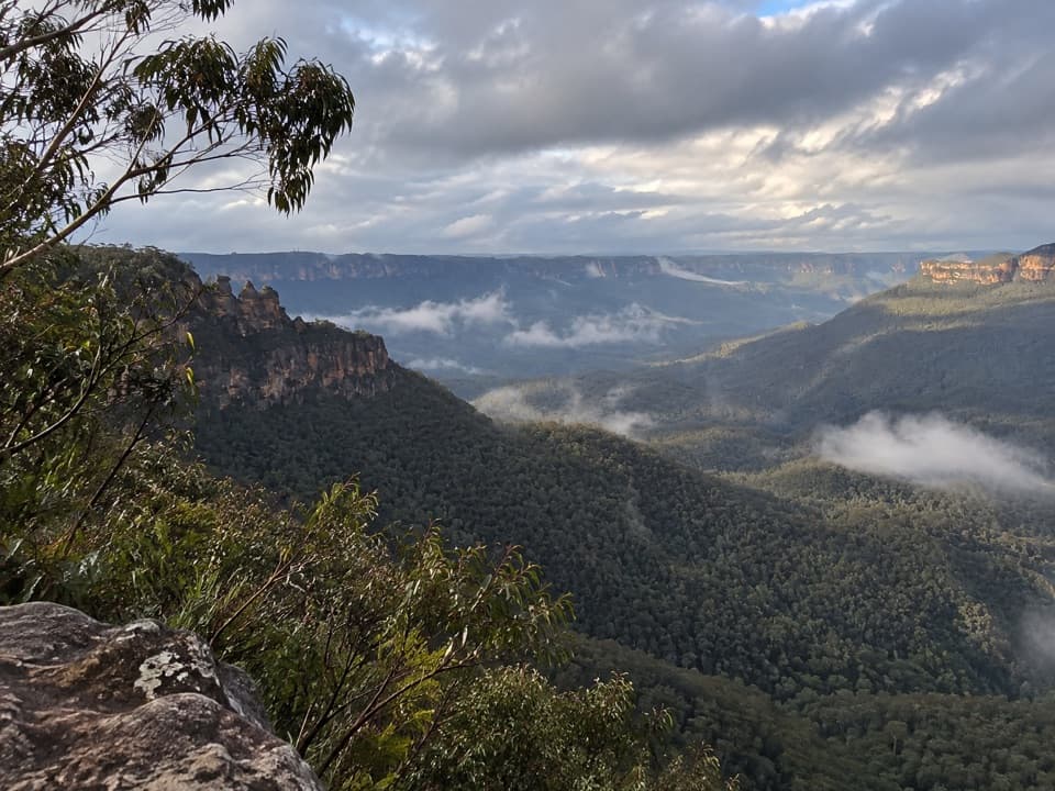
A route-side opening looks across deep forested valleys towards layered sandstone ridges. Eucalyptus branches frame the view; include them in the foreground if you want to show the depth of the valley rather than just the distant escarpment.
Wild Dog belongs to a wider naming story for these ridges. Local history traces the theme to an early comparison of one difficult ridge to a black dog; bushwalker Myles Dunphy extended the dog names across the surrounding peaks and tracks. The names describe the broader range, not a list of summits this loop visits.
Dunphys is a remote campground at the end of Megalong Valley, with parking, toilets, picnic tables and barbecue facilities. Bring all drinking and cooking water; water is not supplied, and no refill point on the loop was verified. The access road passes through private property, so drive slowly, watch for livestock and leave gates as you find them. Dogs are not permitted in NSW national parks except trained assistance animals.
Wildlife
 58 sightingsGrey KangarooMost seen around 6 AMSighting map
 43 sightingsWombatMost seen around 6 PMSighting map
 18 sightingsRed-necked WallabyMost seen around 6 PMSighting map
 53 sightingsSwamp WallabyMost seen around 7 AMSighting map
 23 sightingsBrushtail PossumMost seen around 7 PMSighting map
 30 sightingsRing-tailed PossumMost seen around 7 PMSighting map
Sighting maps show where each species has been reported across Blue Mountains. Wildlife moves, so no sighting is guaranteed.
Keep exploring
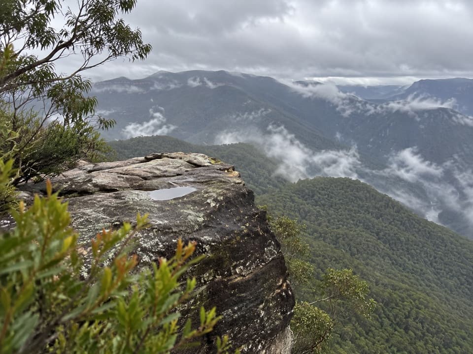 ChallengingSplendour Rock from Dunphys campground23.5 km · 9 hr · At the trailheadA remote two-day circuit to a cliff-top war memorial.
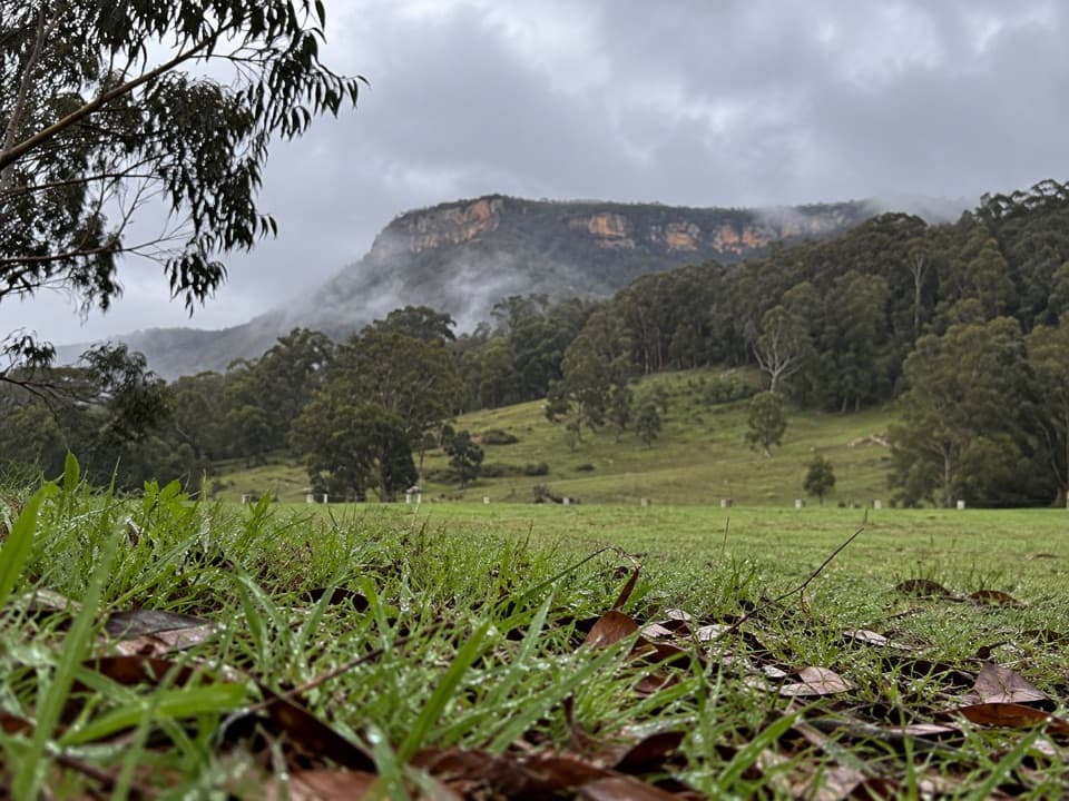 ModerateBellbird Lookout Track4.7 km · 1.7 hr · At the trailheadOpen forest tracks lead to a broad lookout above Carlons Creek.
 ChallengingBlue Dog Ridge Loop17.9 km · 8 hr · 0.2 km awayA remote ridge circuit with 1,300 metres of climbing
 ModerateNarrow Neck trail19 km · 5.5 hr · 7.1 km awayA long plateau walk to Clear Hill above two deep valleys.
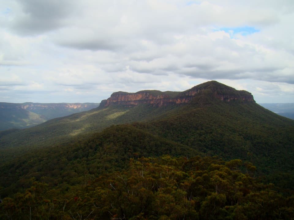 ChallengingMount Solitary via Golden Stairs12.7 km · 8.5 hr · 7.8 km awayA full-day climb from rainforest to a remote sandstone summit.
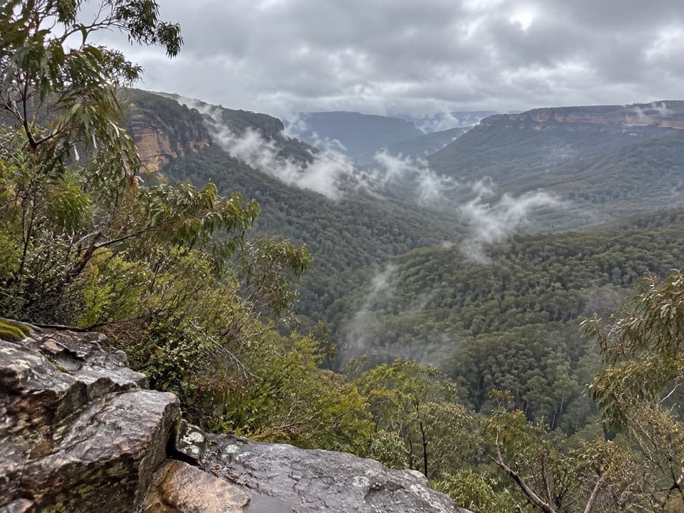 ChallengingGolden Stairs walking track1.6 km · 1.3 hr · 7.8 km awayA steep stairway down to Federal Pass, with the climb waiting.ChallengingRuined Castle walking track8.2 km · 5 hr · 7.8 km awayA steep valley hike to sandstone outcrops and mining history.
 EasyScenic Walkway1.9 km · 50 min · 9.2 km awayA ticketed rainforest boardwalk links valley stations beneath the canopy.
 Campground · At the trailheadDunphys campgroundA grassy base for Cox’s River walks and mountain views.
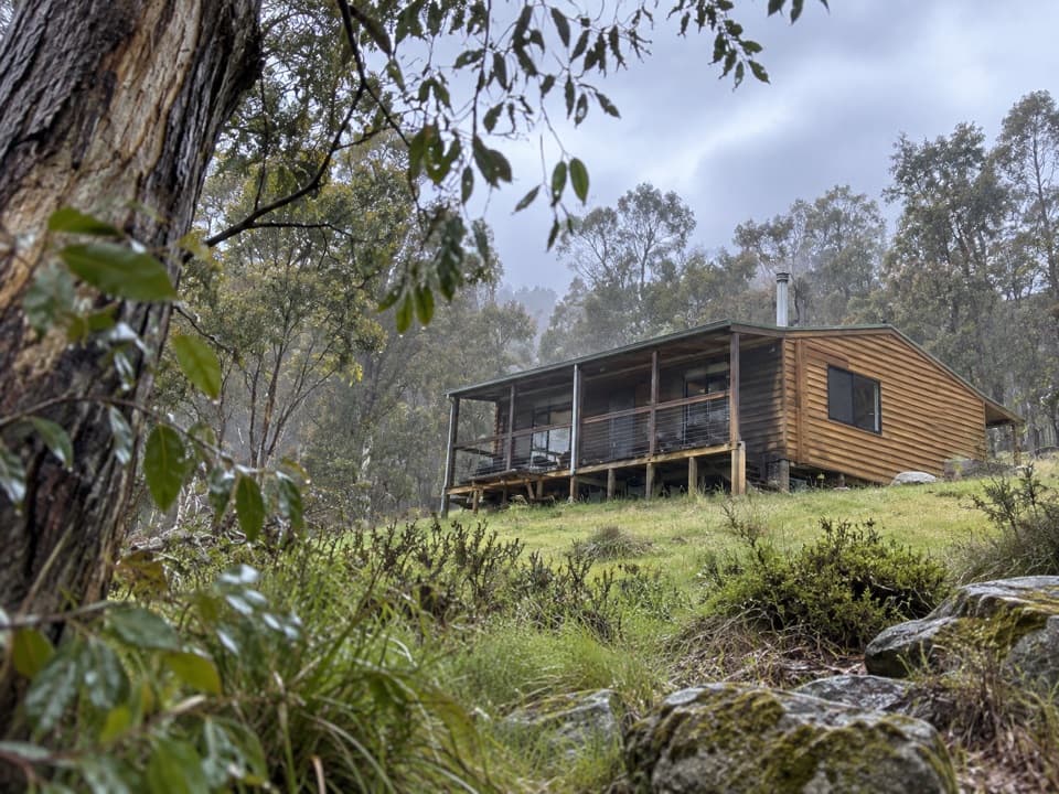 Lodging · 0.4 km awayGalong CabinsA quiet valley stay in cabins once used by pack saddlers.
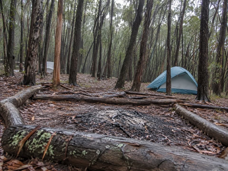 Campground · 5.6 km awayMobbs Swamp campgroundA remote overnight stop on the Kanangra to Katoomba walk
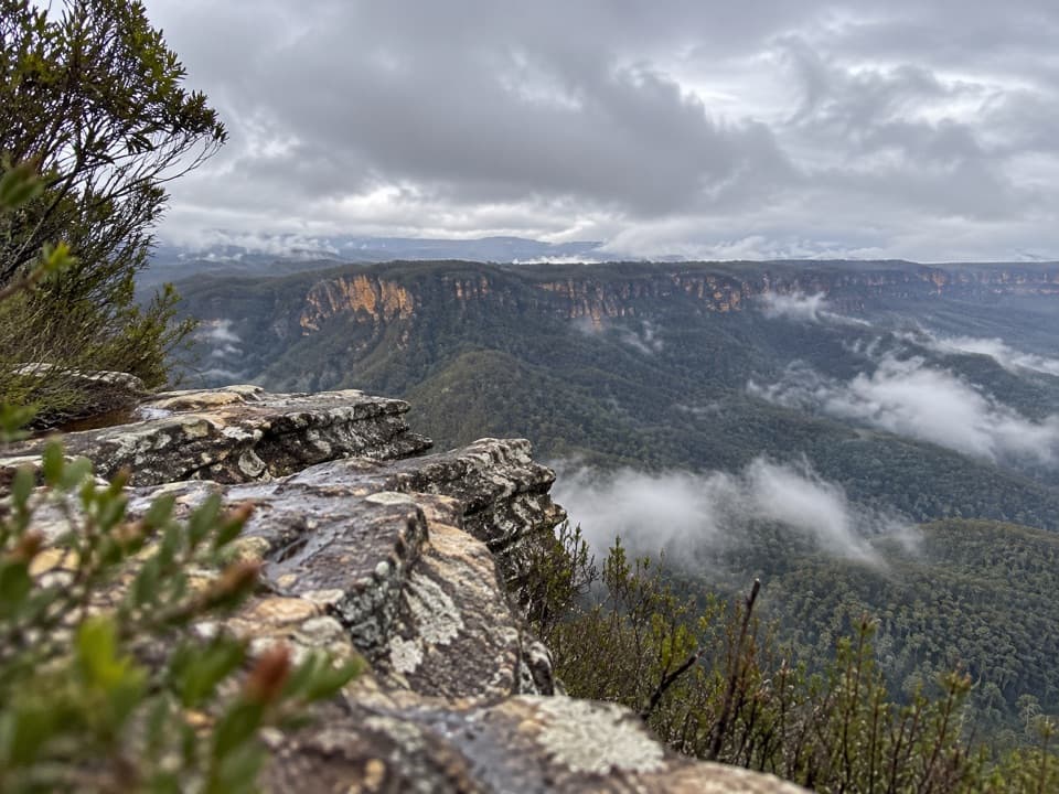 Sight · 6.5 km awayCastle Head LookoutA rocky headland with views over Mount Solitary and the valley
 Sight · 6.6 km awayRuined CastleA steep valley hike to a sandstone summit with wide views.Campground · 6.7 km awayRuined Castle campgroundA remote overnight base for a steep walk to Jamison Valley views.Sight · 9 km awayNarrow Neck LookoutA quick stop for the Jamison and Megalong valleys.
 Sight · 9.1 km awayEagle Hawk LookoutA quieter Jamison Valley view toward the Three Sisters.
Parkwolf’s Blue Mountains ranking

The audio tour guide for the drive, plus offline maps, trails, and wildlife heatmaps for when the signal drops.





