
All New River Gorge places
55 places
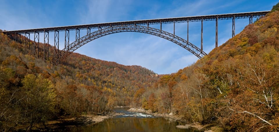 1New River Gorge BridgeA 3,030-foot steel arch above a river 876 feet below.
 2Sandstone FallsA short boardwalk reaches islands framed by 1,500 feet of low falls.
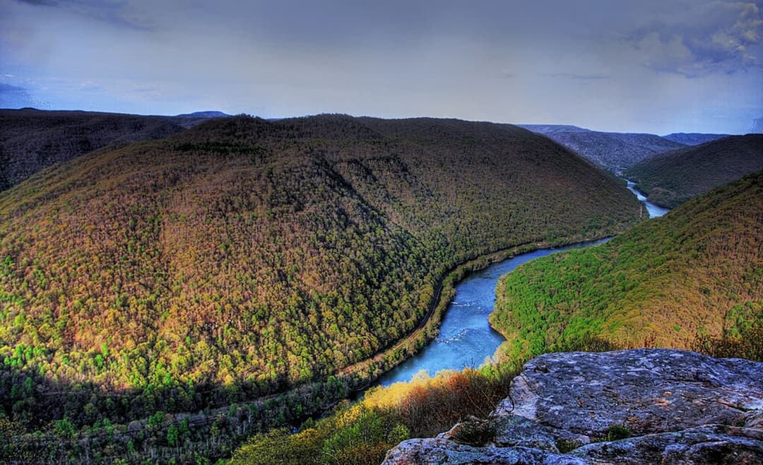
 3Grandview Main OverlookSeven miles of river and gorge from one short overlook.
 Canyon Rim Visitor CenterPlan your park visit, then step out to the bridge view.
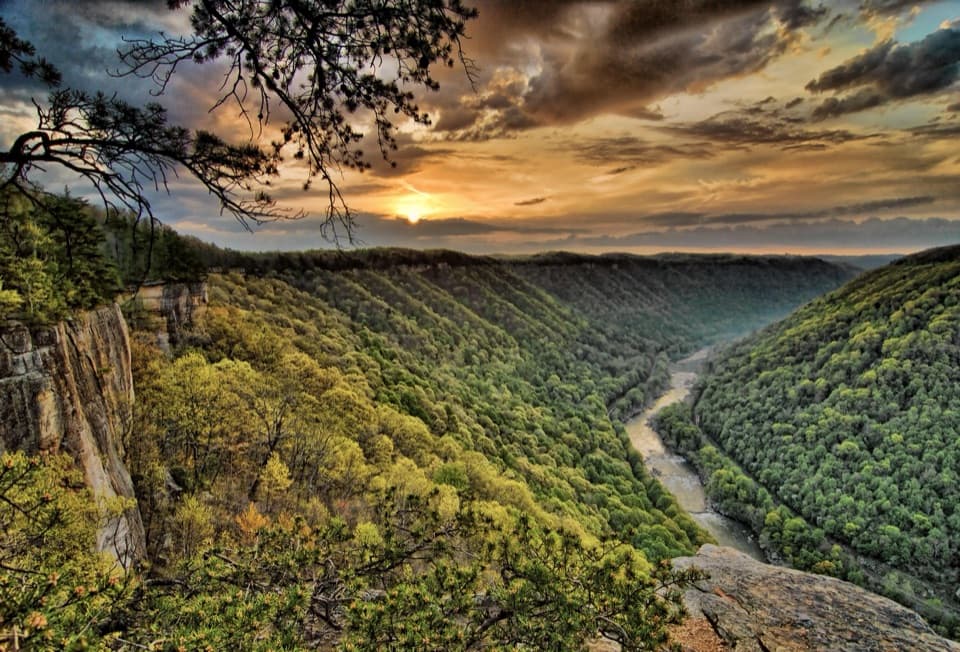 4Diamond Point OverlookA cliff-edge view down nearly 1,000 feet to the New River.
 5Long Point OverlookA rough last pitch opens onto the park’s signature bridge view.
 6Nuttallburg Historic SiteA preserved coal town with a rust-red tipple and a tricky drive.
 7Thurmond Historic DistrictA preserved coal town beside an active rail line.
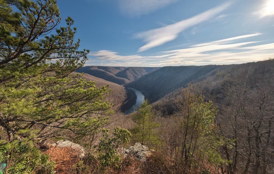 8Turkey Spur OverlookA steep staircase climbs to wooden platforms above the river.
 9Bridge WalkA harnessed walk beneath the highway, 850 feet above the river.
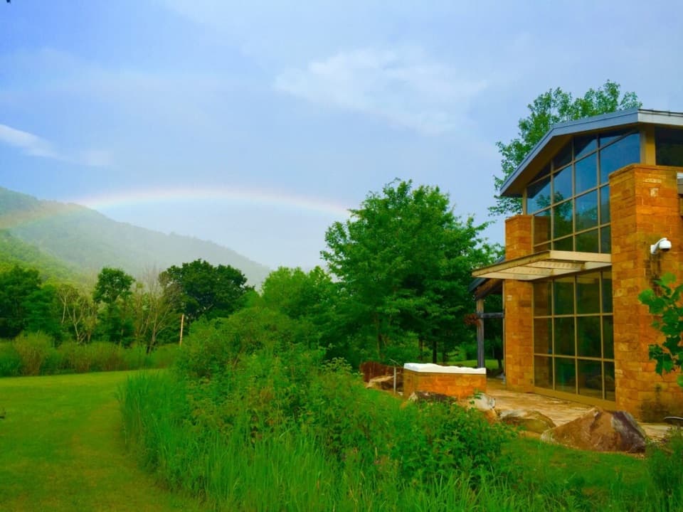 Sandstone Visitor CenterStart here for southern park advice, exhibits and a floor map.
 10Canyon Rim Bridge OverlookTwo decks put the full bridge arch above the river gorge.
 11Kaymoor One MineA coal mine and coke ovens linked by 821 steps.
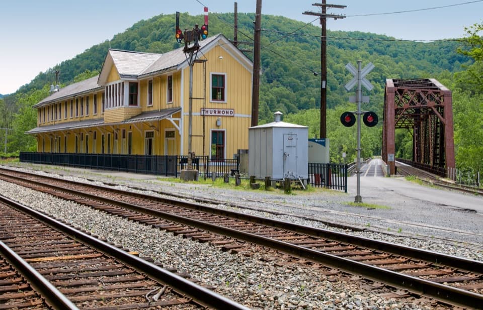 Thurmond Depot Visitor CenterA rail-history stop worth the winding drive if you're exploring town.
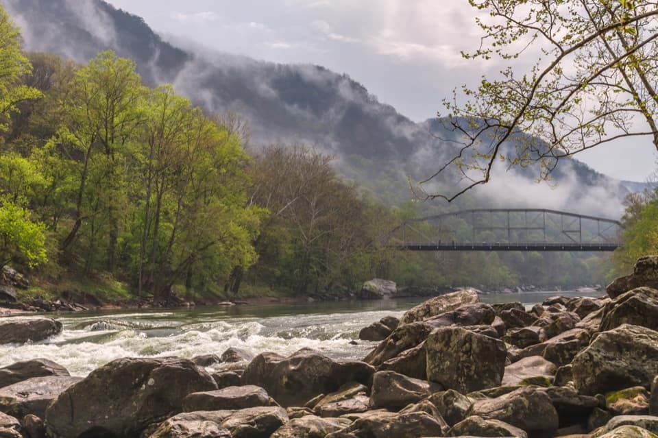 12Fayette Station River AccessRapids, two bridges, and the gorge from river level.
 Grandview Visitor CenterMaps, a small shop, and a walk to a seven-mile river view.
 13Sandstone Falls OverlookA short gravel walk, then 1,500 feet of falls from above.
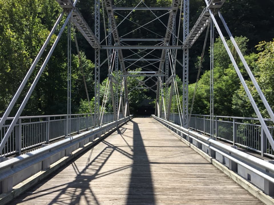 14Tunney Hunsaker BridgeA historic lower crossing on Fayette Station Road's one-way gorge drive.
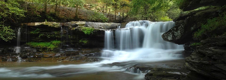 15Dunloup FallsA quick roadside waterfall with a steep scramble for a closer look.
 16Concho Rim OverlookWatch the New River curl around historic Thurmond from above.
 17Glade Creek FallsA creekside hike leads to tiered falls across a sandstone ledge.
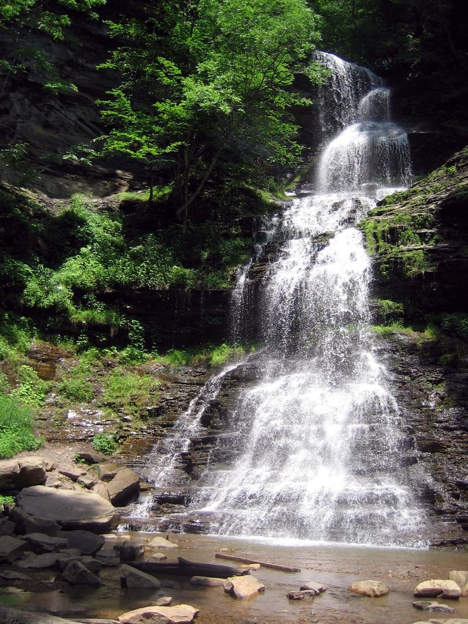 18Cathedral FallsA 60-foot cascade makes a quick US-60 pull-off worth it.
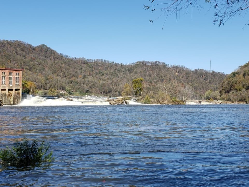 19Kanawha FallsA river-wide waterfall you can see from US 60 without hiking.
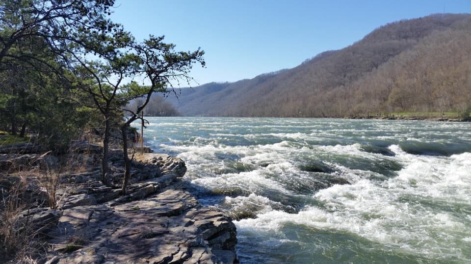 20Brooks Falls Roadside ParkA broad river rapid for a quick roadside pause.
 21Kates FallsA stepped sandstone waterfall at the end of a long creekside hike.
 22Big Branch FallsA waterfall hike with spring flowers and a story in the hollow.
 23North OverlookA river bend framed by Grandview’s flowering rhododendrons.
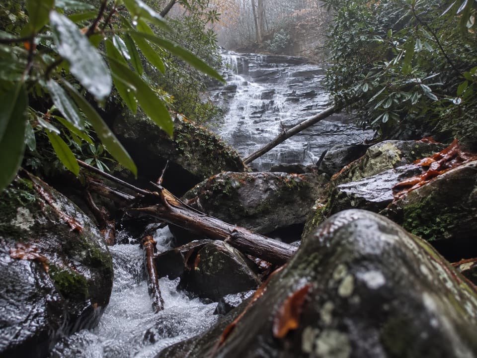 24Butcher Branch FallsA close-up waterfall reached by a short, steep spur.
 25Richmond Hamilton FarmA preserved farmstead shows how families made do before the railroad.
 26Cliffside AmphitheaterA 1,200-seat stage for live summer drama at Grandview.
 27Camp Washington-CarverA pioneering Black 4-H camp with a second life in the arts.
 28Brooks Island OverlookA five-minute stop for the wooded island and river below.
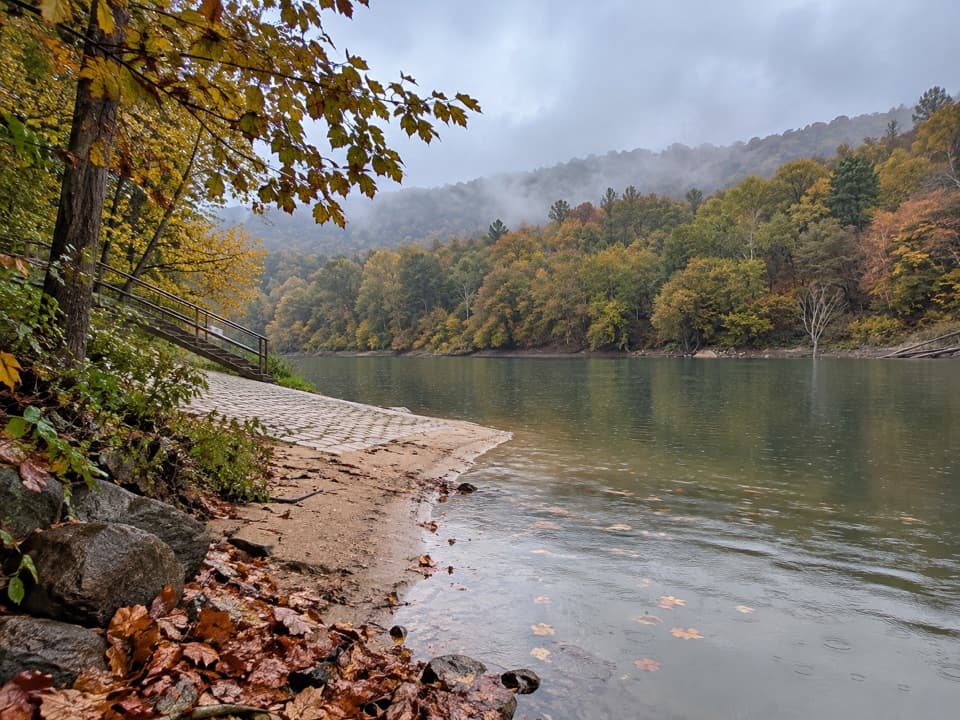 29Cunard River AccessA river put-in beside a trail through former mining towns.
 Dun Glen Day Use AreaA handy river access point with a permit-required picnic shelter.
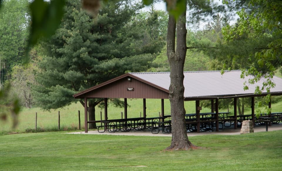 Grandview Picnic AreaA meal stop among Grandview’s picnic shelters, playgrounds and trails.
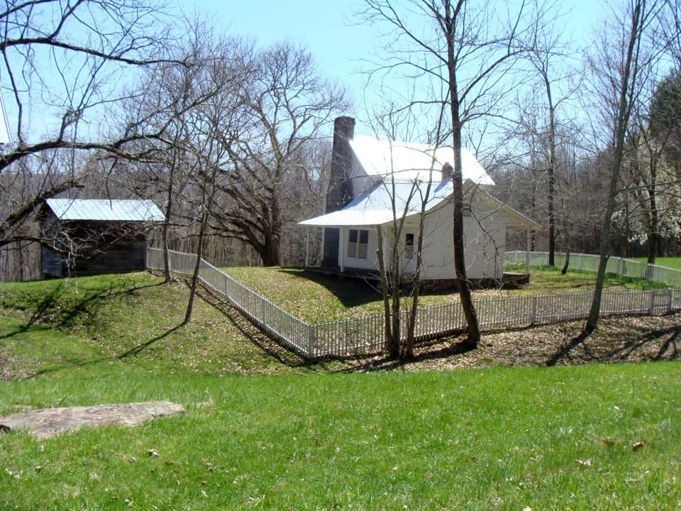 30Trump-Lilly FarmA mountain farmstead where every outbuilding had a job.
 Cathedral CafeA former church turned cafe with towering stained glass.
 31Brooklyn Mining Complex & Community RuinsA 1890s coal camp left a ruined tipple and coke ovens.
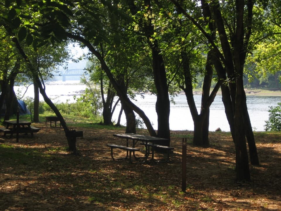 Grandview Sandbar CampgroundWooded campsites put you beside the New River.
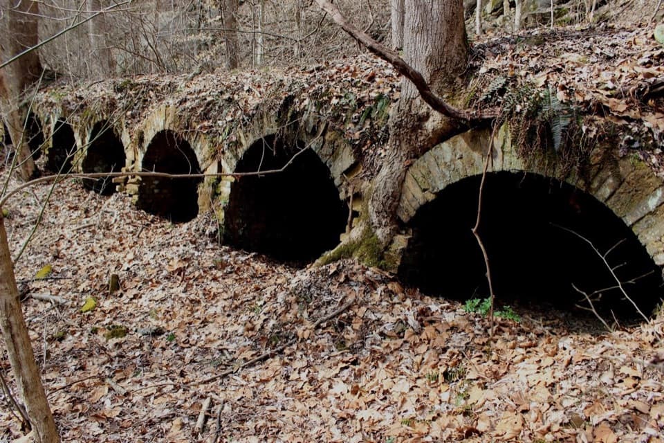 32Red Ash Community and Mining RuinsSee an unusual bread-loaf coke-oven design on the Southside Trail.
 Glade Creek CampgroundA wooded camp at the end of an old creekside rail trail.
 33Rush Run Community RuinsA vanished coal town, with beehive ovens still by the trail.
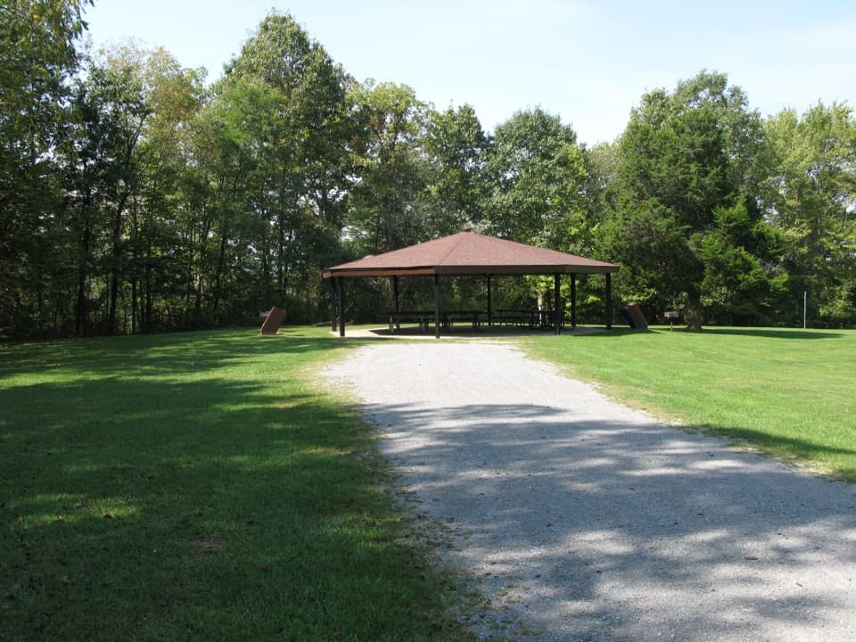 Burnwood Day Use Area and Group CampsiteA picnic pavilion by Canyon Rim with a permit-only group campsite.
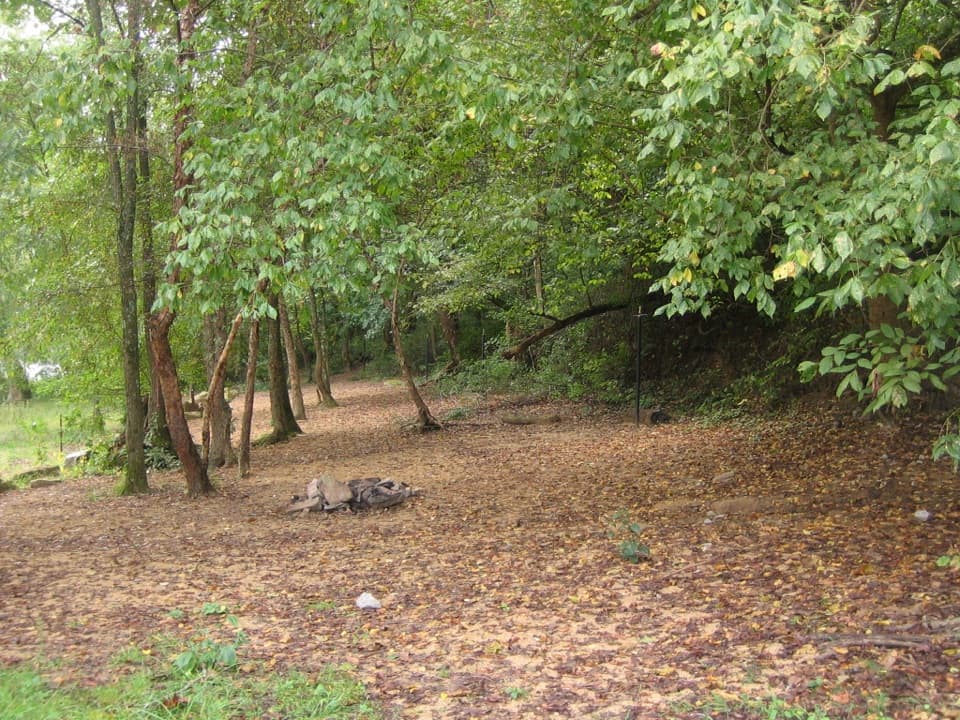 Stone Cliff CampgroundFive sites on sand, two under the trees.
 Army Camp CampgroundFree, primitive camping where the New River loops around.
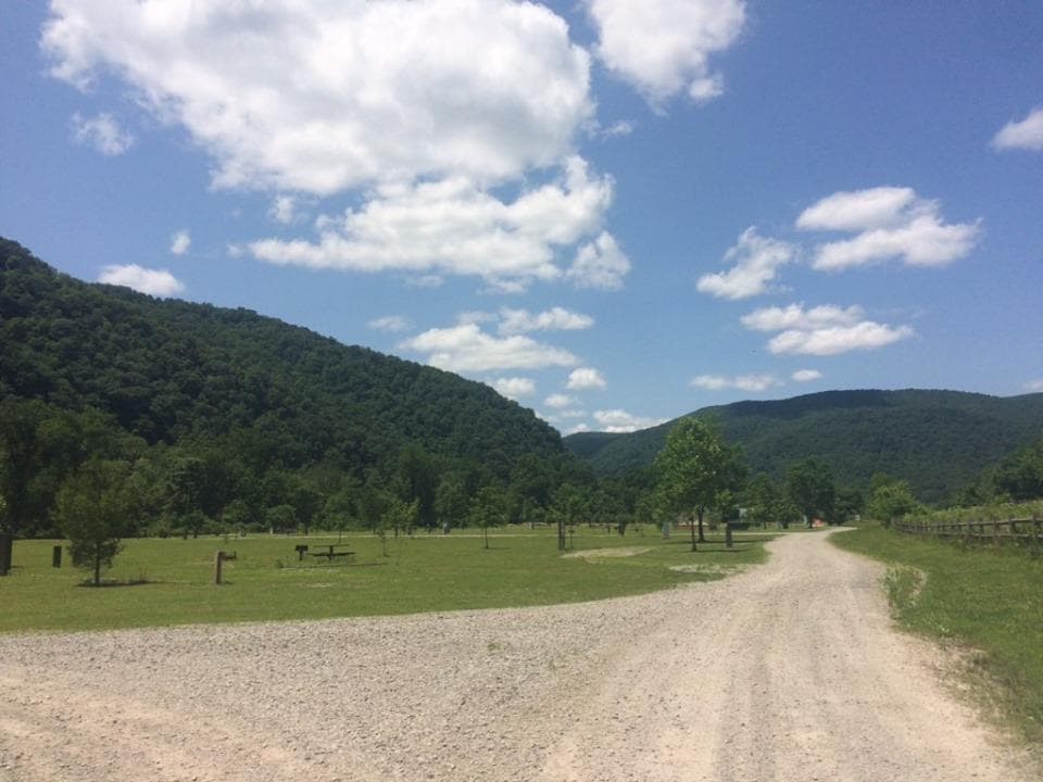 Meadow Creek CampgroundFree riverside tent camping comes with train horns and little shade.
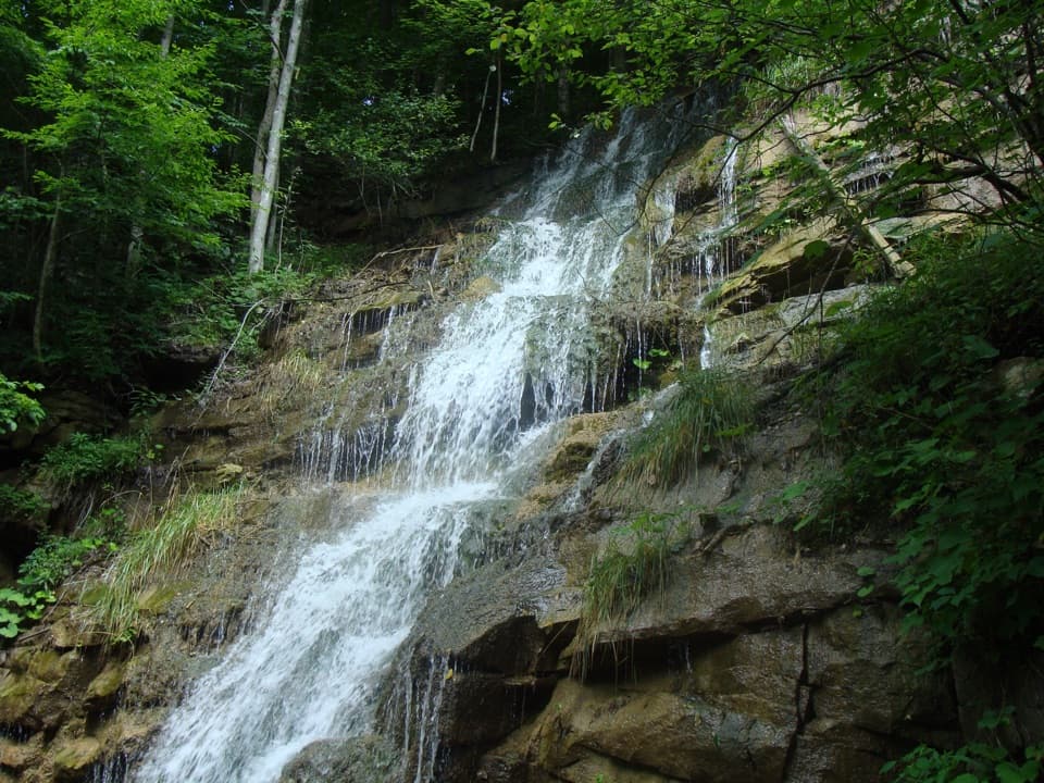 34Kaymoor Mine FallsA mossy cascade where mine drainage meets Wolf Creek.
 Brooklyn CampgroundFive tent sites beside the New River and Southside Trail.
 War Ridge CampgroundEight drive-in sites at the park’s only off-river campground.
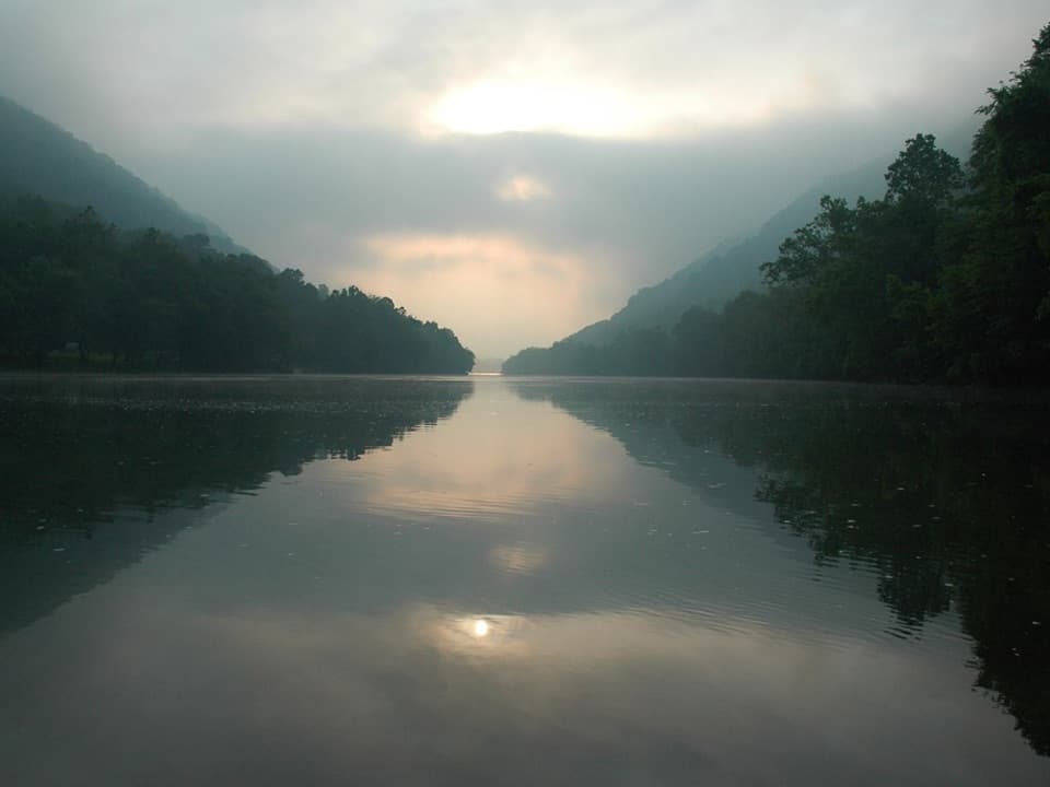 35McCreery River AccessClass II McCreery Rapids begin right at the put-in.
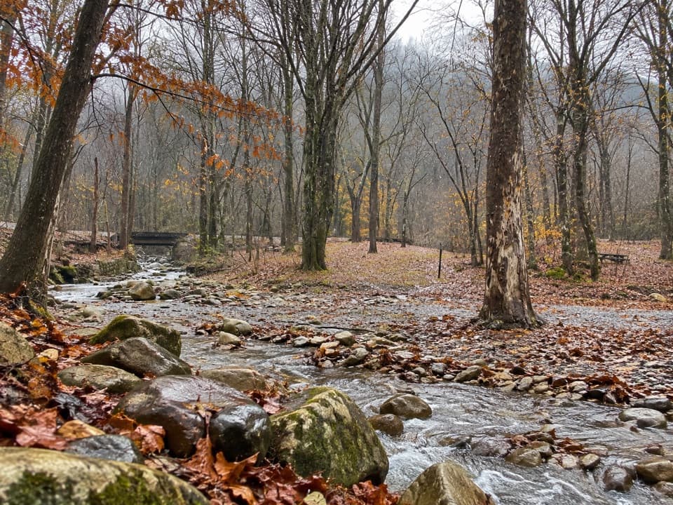 Thayer CampgroundFour walk-in tent sites by the New River, with trains close by.
 36Hellems Beach River AccessPublic river access below Brooks Falls Rapids.
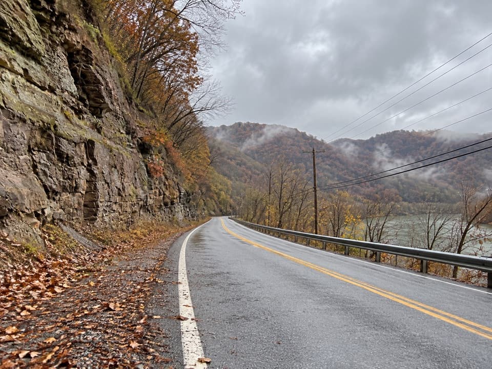 37Tug Creek River AccessPublic New River access via River Road, near Hinton.
 38Red Ash Island CemeteryA wooded island cemetery ties miners’ losses to everyday community life.
 39Mill Creek River AccessA simple launch where Mill Creek meets the New River.

The highest, rockiest slopes around here are a summer buffet for grizzly bears.
New River Gorge Tour Guide
New River Gorge, narrated.
Parkwolf is a GPS audio tour guide for New River Gorge National Park. As you drive, it chimes in with what’s ahead: hidden gems, upcoming stops, history, geology, and wildlife, right through your car’s speakers.
See the New River Gorge audio tourRecorded for this place
Canyon Rim and the Bridge0:00 / 0:32
“You're approaching the turnoff for Canyon Rim Visitor Center. This is the stop I'd choose for a full view of the New River Gorge Bridge without a long hike.”
Plays as you drive up to New River Gorge Bridge in the Parkwolf New River Gorge Tour Guide.
More stories near here in the app
- Fayette Station and the Boxer's Bridge
- The Heron That Uses Bait
- Burnwood's Picnic Area and Old Trees
- Bridge Walk Beneath the Highway
- 92 audio storiesacross New River Gorge’s roads, triggered by GPS as you drive
- Wildlife heatmapsfor Black Bear, White-tailed Deer, Pileated Woodpecker, and 13 more
- Works offlinemaps, 49 trails, 55 places, and audio download before you lose signal
- CarPlay readysimple controls built for the drive
“Fantastic app with many points of information… It’s great to just turn on while you’re driving and it gives you an audio tour of the national Park. We love it!!!!”

