
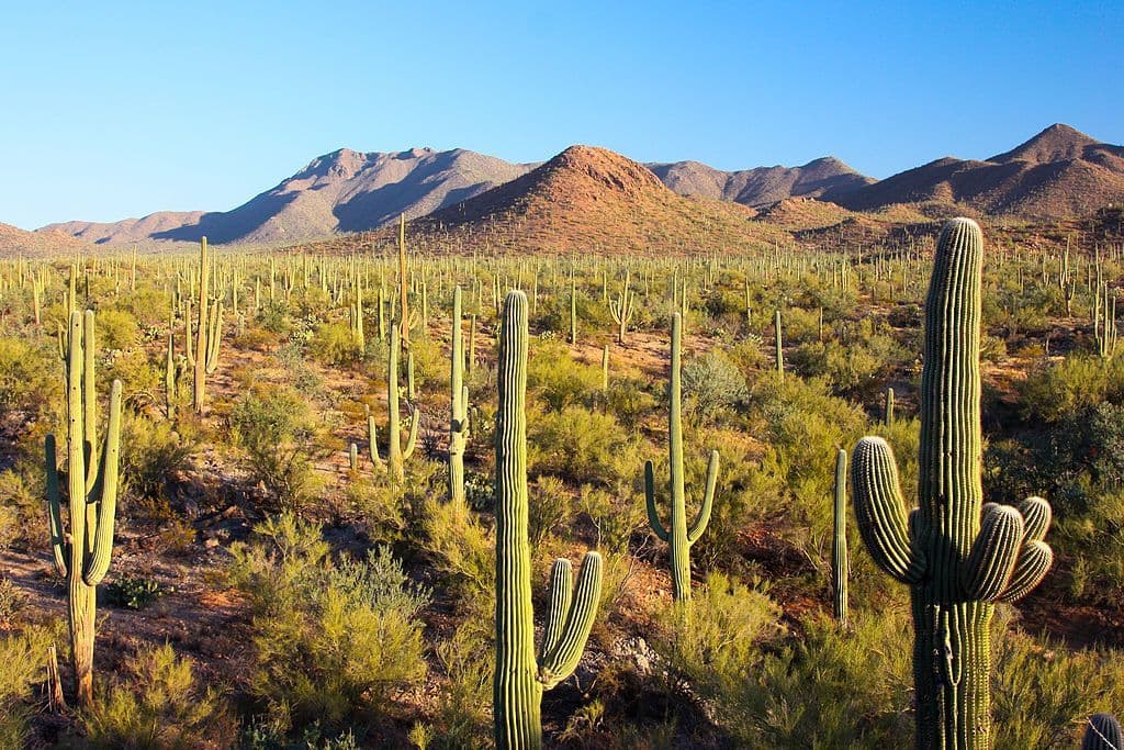
All Saguaro places
40 places
 1Signal HillMore than 200 Hohokam petroglyphs on a short desert hill walk.
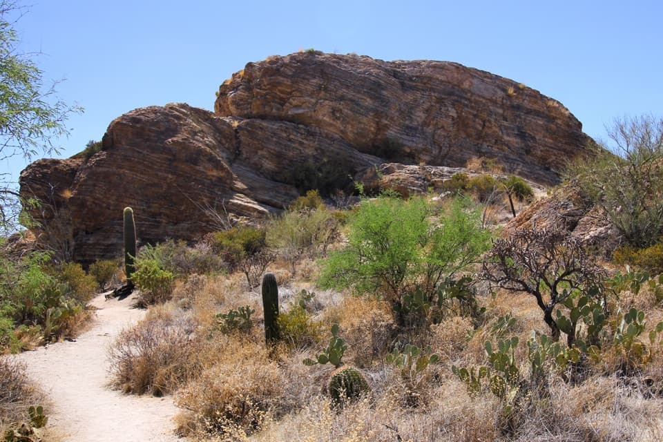 2Javelina RocksA short rock scramble earns a wide sunset view over saguaros.
 Red Hills Visitor CenterStart here for desert exhibits, trail advice, and Red Hills views.
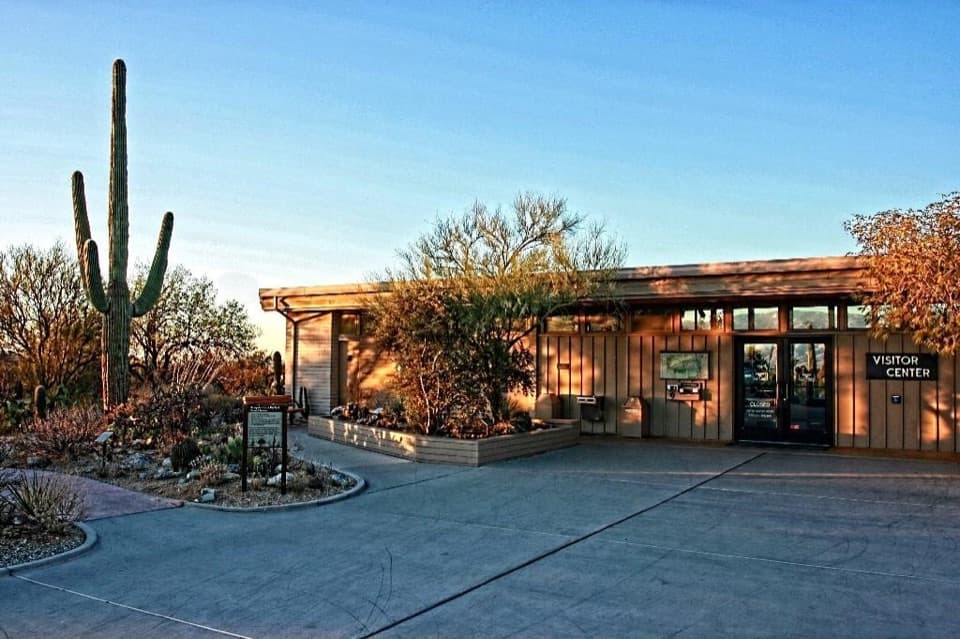 Rincon Mountain Visitor CenterStart here for maps, desert exhibits and the Cactus Forest Loop.
 3Valley View OverlookA short cactus walk opens onto Avra Valley and its distant ridges.
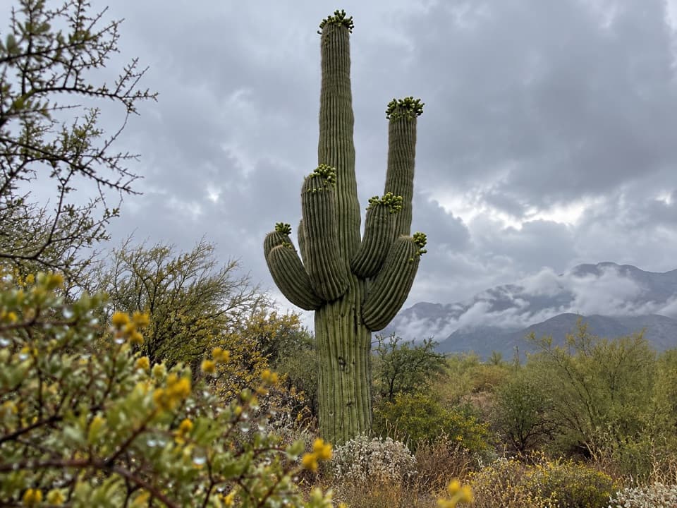 4Cactus Forest OverlookSaguaro views and a surprisingly long recovery story.
 5Gates Pass OverlookA desert sunset, a stone CCC landmark, no hike to the view.
 6Arizona-Sonora Desert MuseumA living field guide to the Sonoran Desert on a cactus-covered hillside.
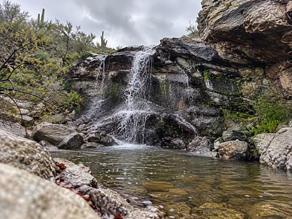 7Bridal Wreath FallsA desert hike to a waterfall that may be dry.
 8Riparian OverlookA quick pullout for Saguaro East’s wide cactus-forest views.
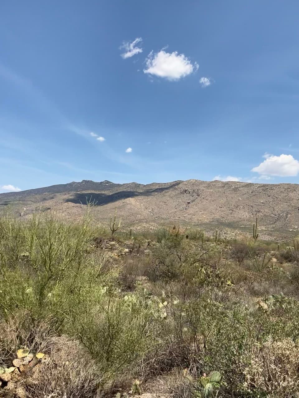 9Sonoran Desert OverlookA roadside cactus primer with a broad desert-floor view.
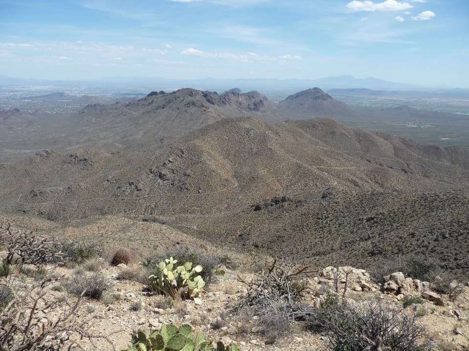 10Wasson PeakA hard-earned summit puts Tucson and two mountain ranges in view.
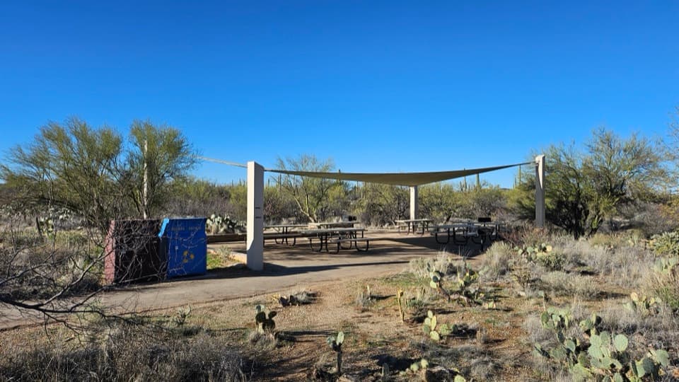 Mica View Picnic AreaA shaded picnic stop with an accessible desert stroll.
 11Future Generations OverlookA quick first pullout with an open view and a conservation story.
 12Rincon Mountains OverlookA roadside panorama over the Cactus Forest toward the Rincon Mountains.
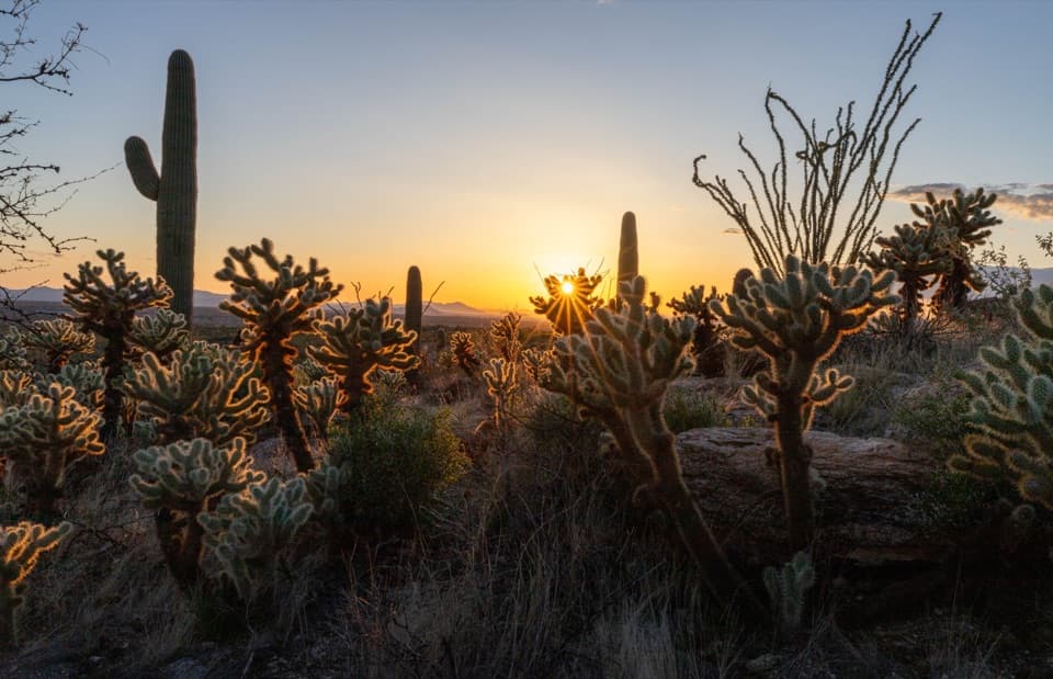 Javelina Picnic AreaShaded tables; a steep ridge trail starts right by the lot.
 13Manning CabinThe cabin’s 1905 piano arrived by an 11-mile wagon road.
 14Little Wildhorse TankA desert pool with a decades-long recovery story.
 15Tanque Verde PeakA rugged summit above Tucson rewards a very long ridge hike.
 16Rincon PeakA remote 8,482-foot summit with wide views and a steep finish.
 17Mica MountainA high, wooded summit reached by a serious backcountry hike.
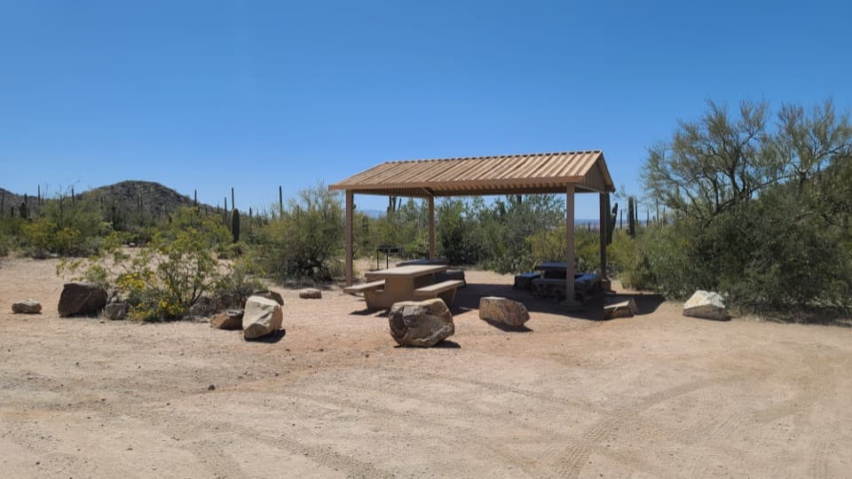 Sus Picnic AreaA shaded picnic stop with a little CCC history.
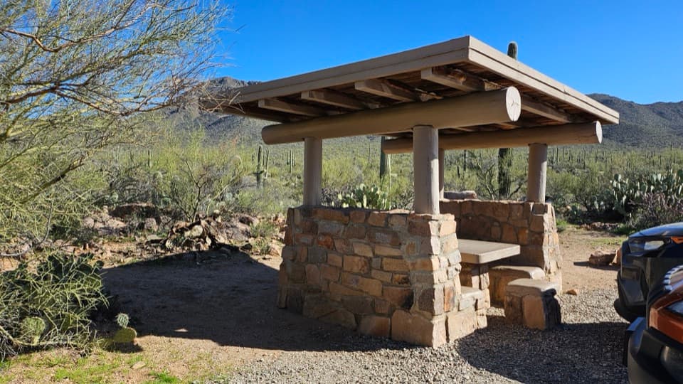 Ez-Kim-In-Zin Picnic AreaA stone shelter turns a desert picnic into a proper stop.
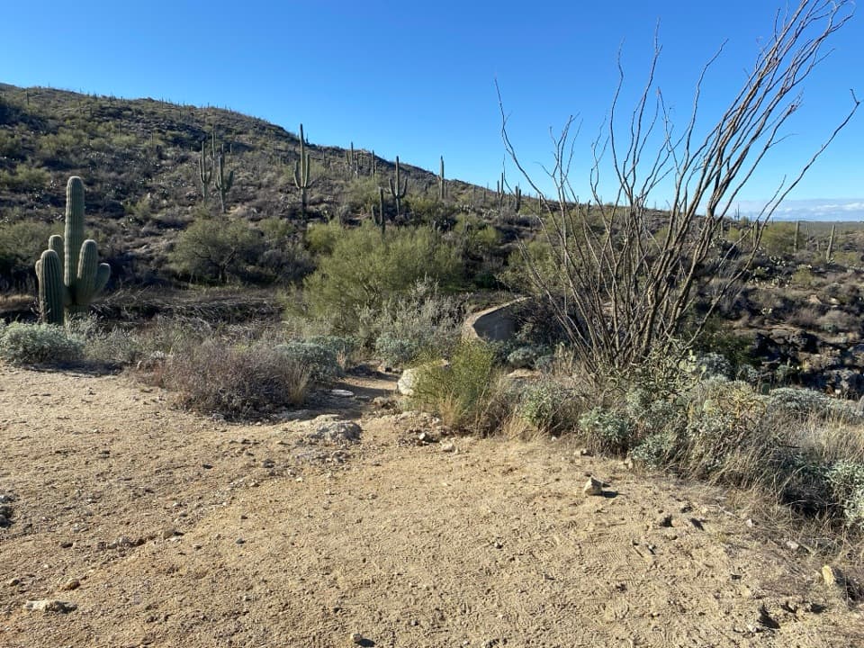 18Garwood DamA homestead-era dam tucked into the cactus forest
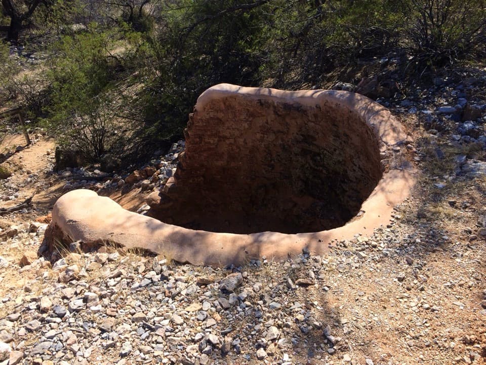 19Cactus Forest Lime KilnsA signed spur to Saguaro's historic lime-kiln ruins.
 Mam-A-Gah Picnic AreaA covered picnic stop with desert views, nearly a mile uphill.
 Sendero Esperanza Picnic AreaA simple picnic stop at the end of Golden Gate Road
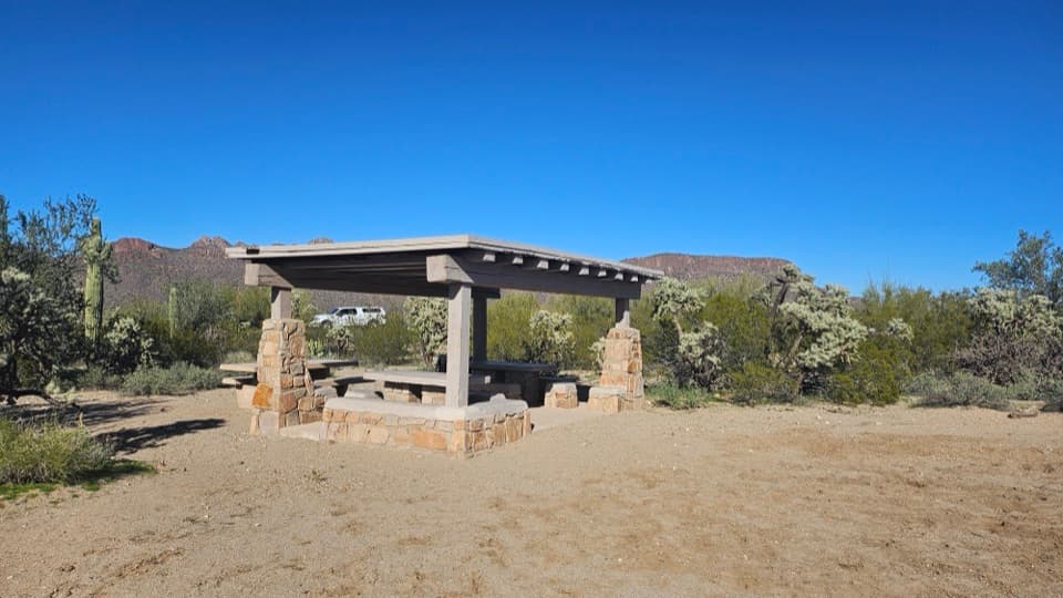 Cam-Boh Picnic AreaA shaded meal stop with Panther and Safford peaks to the north.
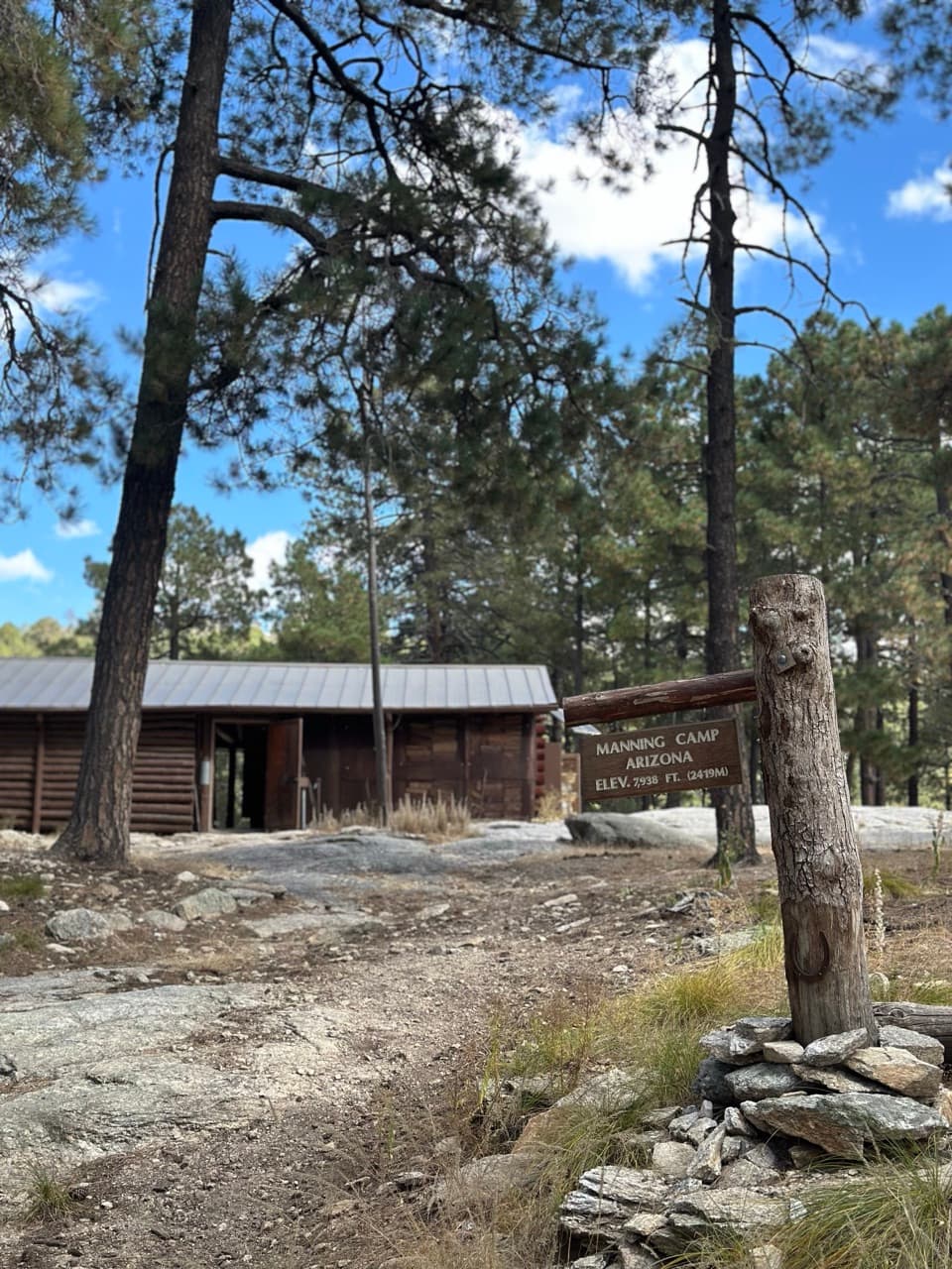 Manning CampA wilderness camp reached after a serious climb into the pines.
 Saguaro Corners Restaurant & BarA 1956 roadside restaurant with desert views and a neon sign.
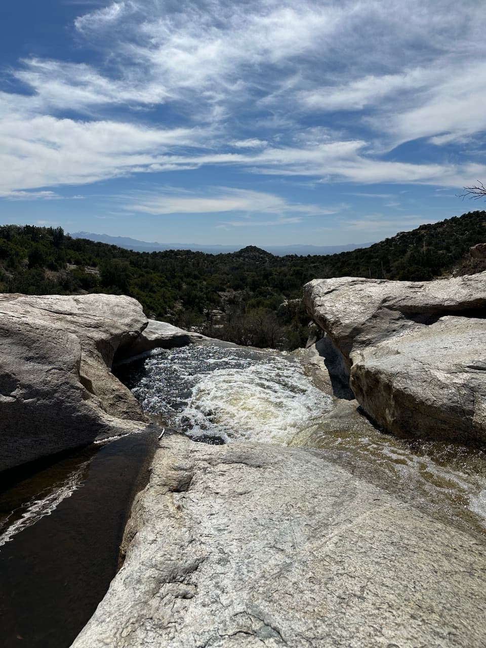 Grass Shack CampgroundAn oak-shaded creek camp after a long climb into the Rincons.
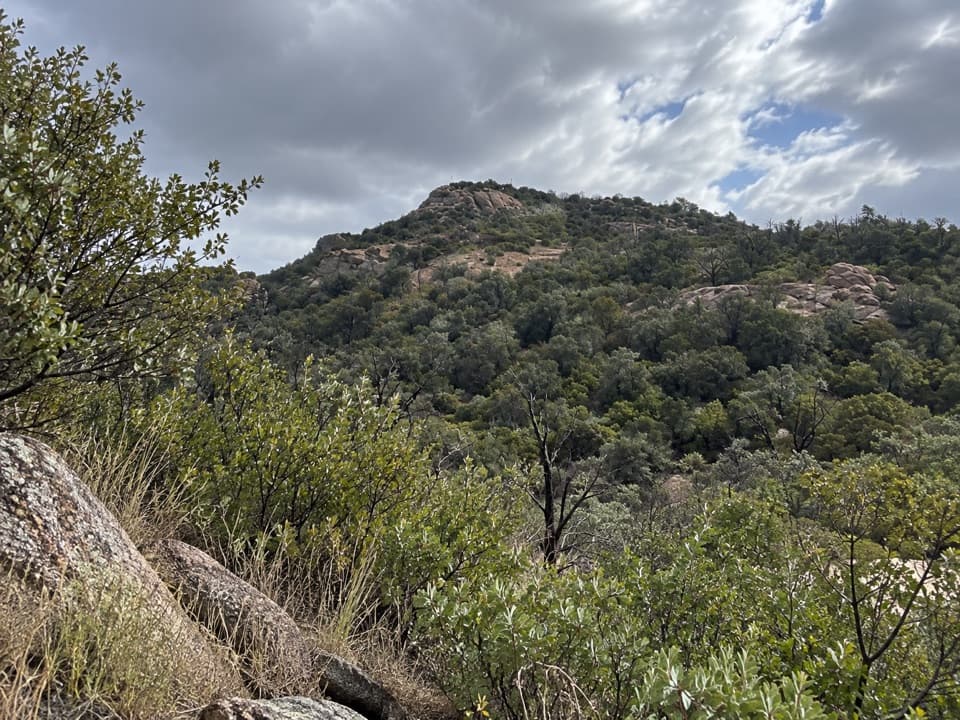 Douglas Spring CampgroundThe lowest wilderness camp still means a 6.5-mile uphill hike.
 Juniper Basin CampgroundA three-site wilderness camp after a 6.9-mile climb.
 Happy Valley Saddle CampgroundA long climb leads to a small, three-site wilderness camp.
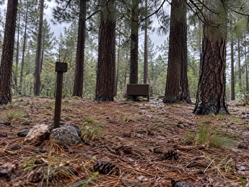 Spud Rock Spring CampgroundA five-mile hike leads to a camp in the Rincon pines.
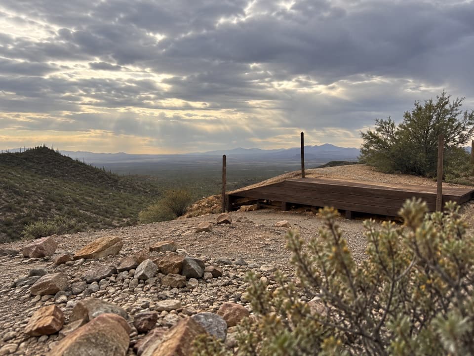 20Gould MineCopper mine ruins reached by a desert hike.
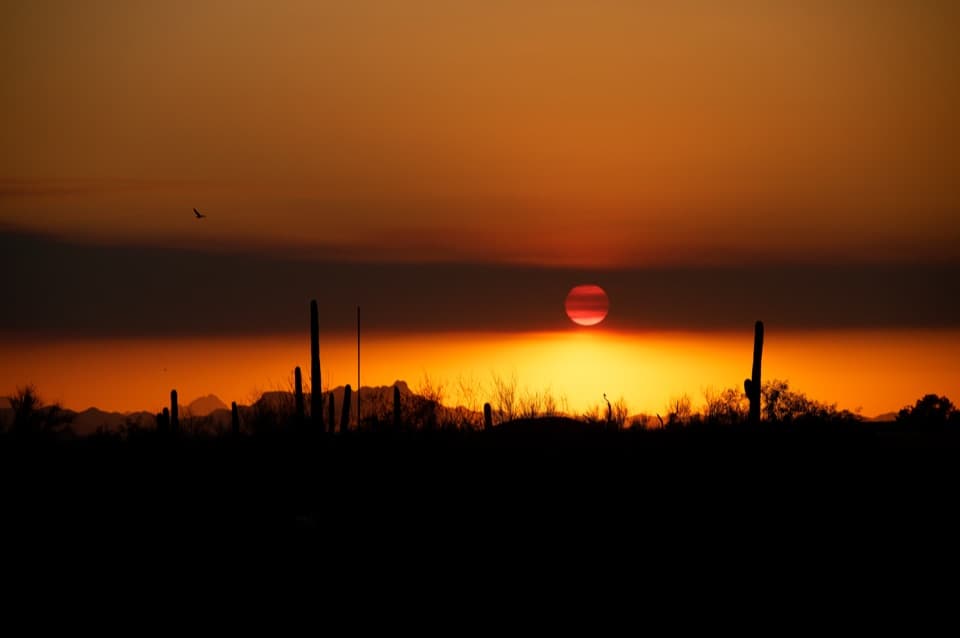 21Desert Living OverlookThe final Cactus Forest Drive stop for one last saguaro view.
 22Saguaro East Entrance SignA quick marker on the way into the Rincon foothills.
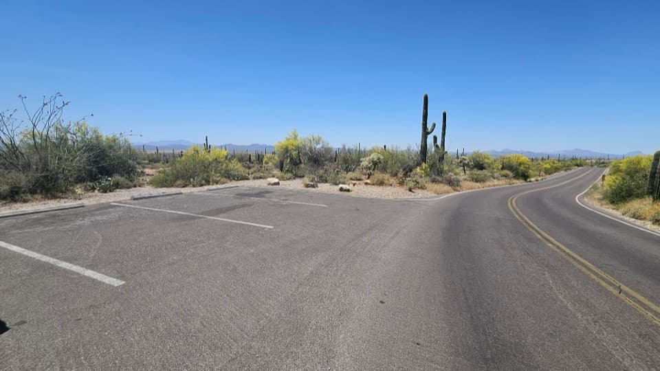 23Kinney Road Sunset PulloutA quick sunset stop with only four parking spaces.
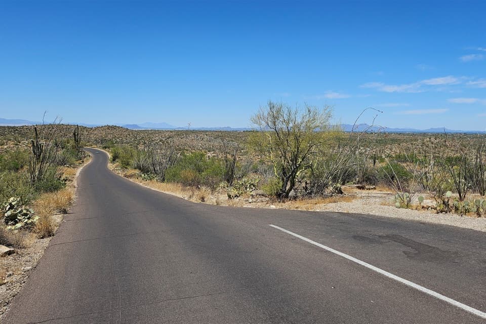 24Cactus Forest Sunset PulloutA small sunset stop between Rincon Mountain Overlook and Javelina Rocks.

The highest, rockiest slopes around here are a summer buffet for grizzly bears.
Saguaro Tour Guide
Saguaro, narrated.
Parkwolf is a GPS audio tour guide for Saguaro National Park. As you drive, it chimes in with what’s ahead: hidden gems, upcoming stops, history, geology, and wildlife, right through your car’s speakers.
See the Saguaro audio tourRecorded for this place
Signal Hill Petroglyphs0:00 / 0:36
“You're approaching Signal Hill, where more than two hundred Hohokam petroglyphs cover the dark boulders. Keep this stop if you want a little history alongside the cactus scenery.”
Plays as you drive up to Signal Hill in the Parkwolf Saguaro Tour Guide.
More stories near here in the app
- How Javelinas Recognize Family
- The Packrat’s Time Capsule
- Hawks That Hunt Together
- Valley View Overlook
- 43 audio storiesacross Saguaro’s roads, triggered by GPS as you drive
- Wildlife heatmapsfor Black Bear, Mountain Lion, Mule Deer, and 13 more
- Works offlinemaps, 74 trails, 40 places, and audio download before you lose signal
- CarPlay readysimple controls built for the drive
“Fantastic app with many points of information… It’s great to just turn on while you’re driving and it gives you an audio tour of the national Park. We love it!!!!”

