
All Wrangell-St. Elias trails
28 trails
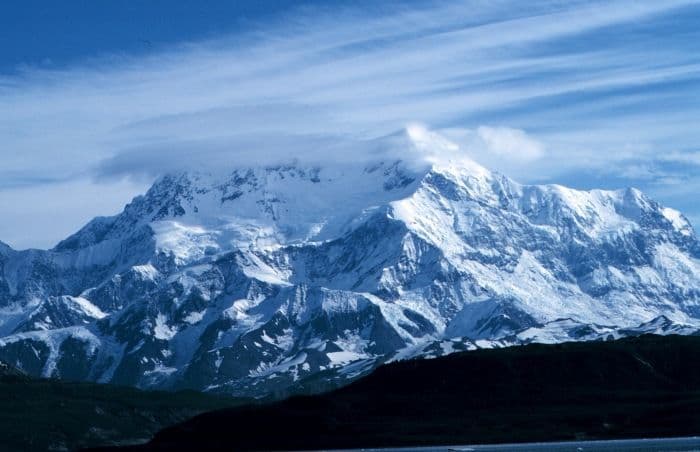
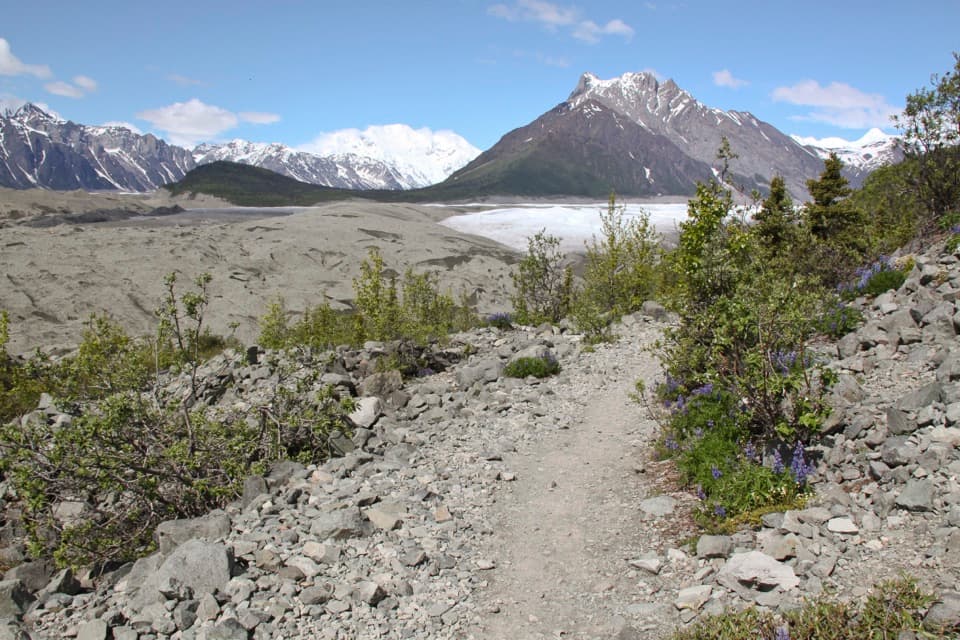 1Root Glacier TrailA 4.5-mile round trip to Root Glacier’s moraine edge.
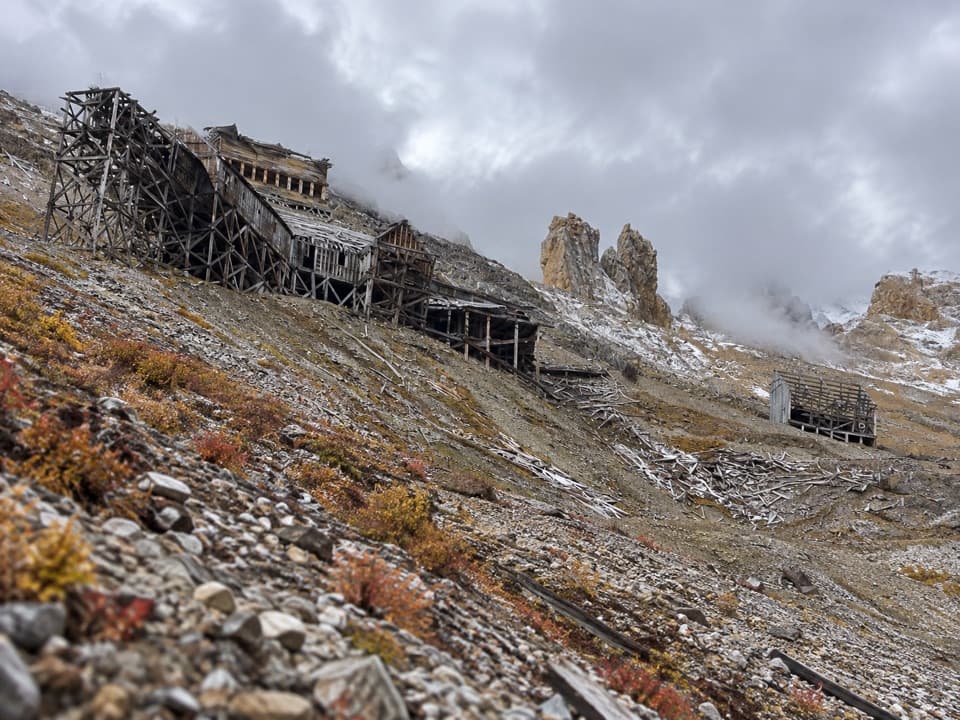 2Bonanza Mine TrailMine ruins and glacier panoramas cap a 9-mile, 3,800-foot climb.
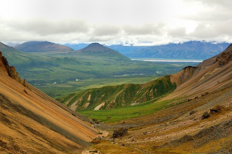 3Skookum Volcano TrailCreek crossings lead into an eroded volcano and a high pass
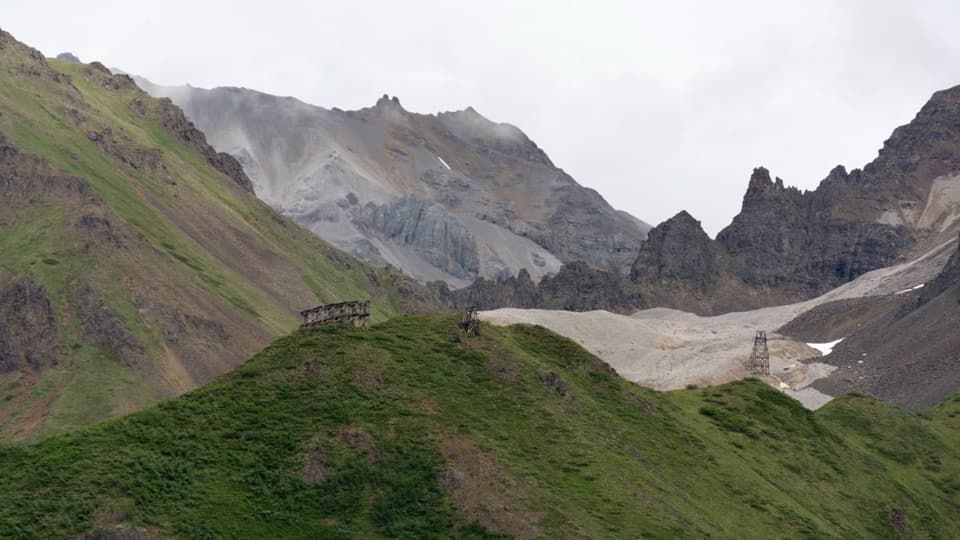 4Jumbo Mine TrailFollow the old tram towers to a high alpine mine ruin.
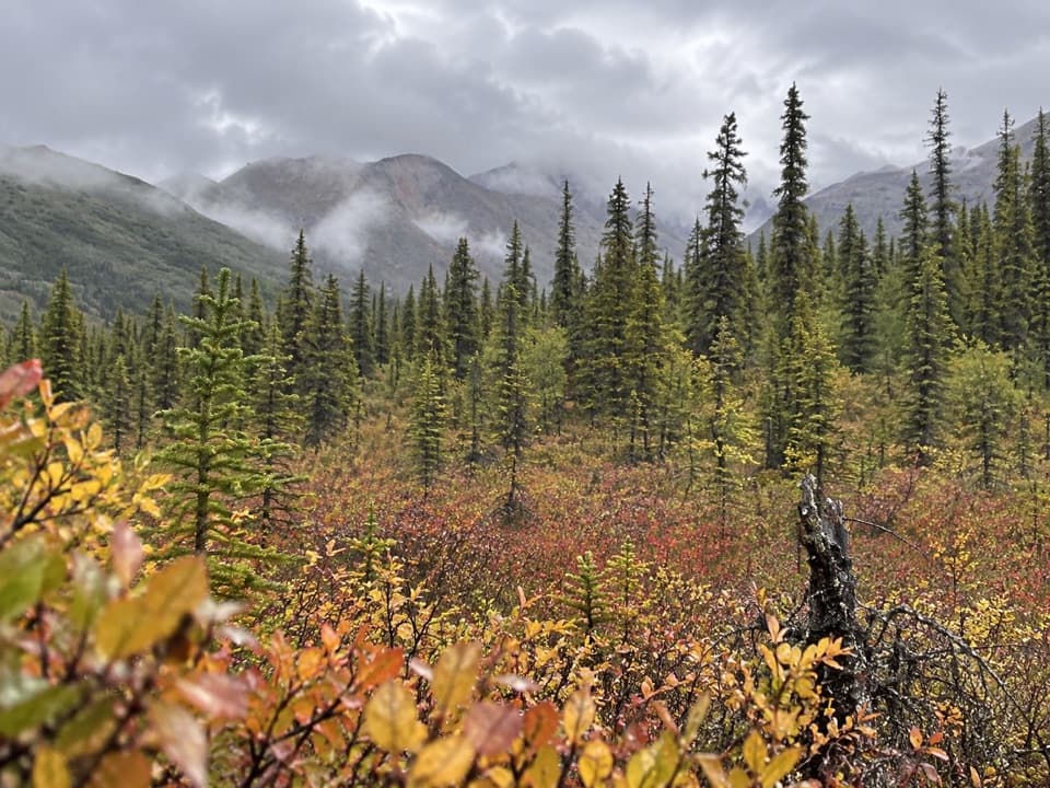 5Caribou Creek TrailWalk to a backcountry cabin through tundra and creek crossings.
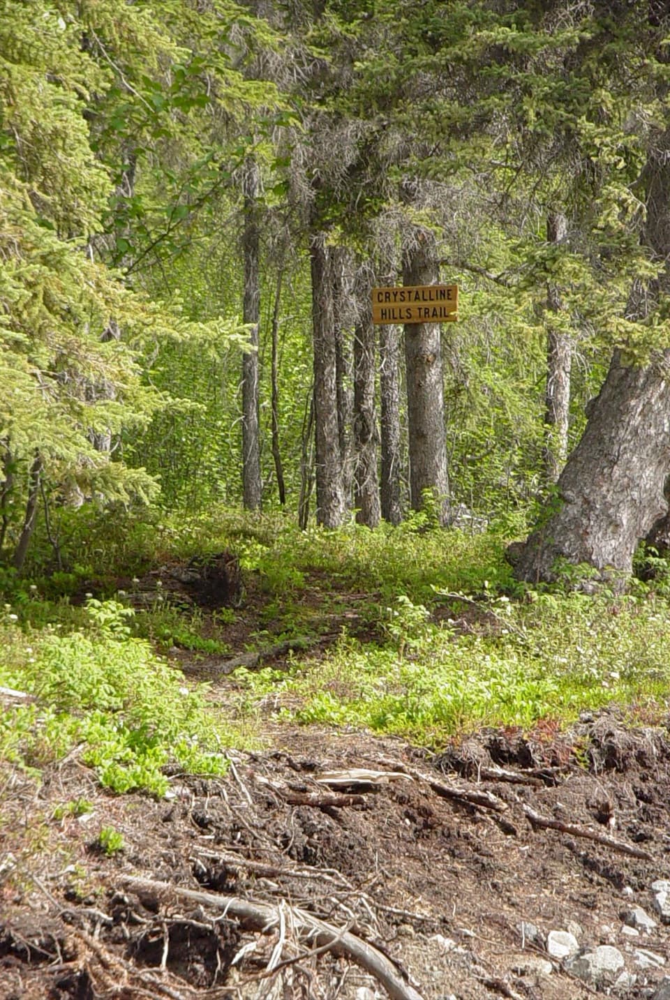 6Crystalline Hills TrailShady forest loop with an early viewpoint and a steep optional scramble7Erie Mine TrailGlacier views and old mining traces on a long moraine walk.
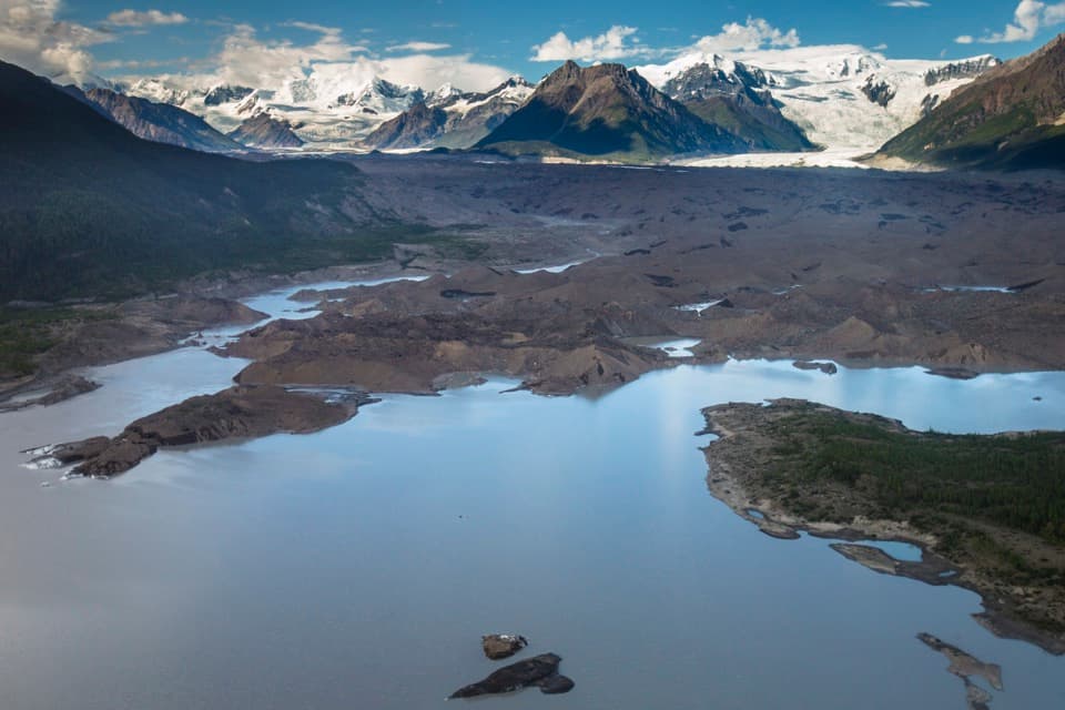 8Toe of the Kennicott Glacier TrailA forest road opens onto a glacier toe and its meltwater lake.
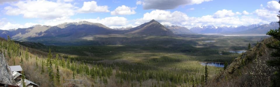 9Rambler Mine TrailA steep forest climb to historic mine remains and broad valley views.
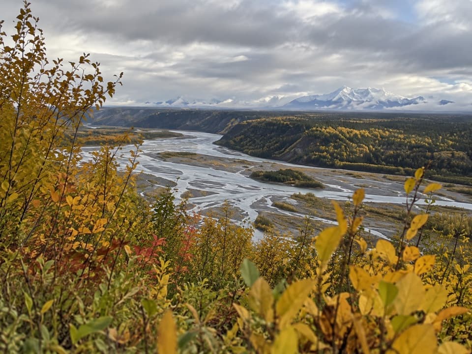 10Copper River Bluff TrailA short gravel loop to a bluff above the Copper River.
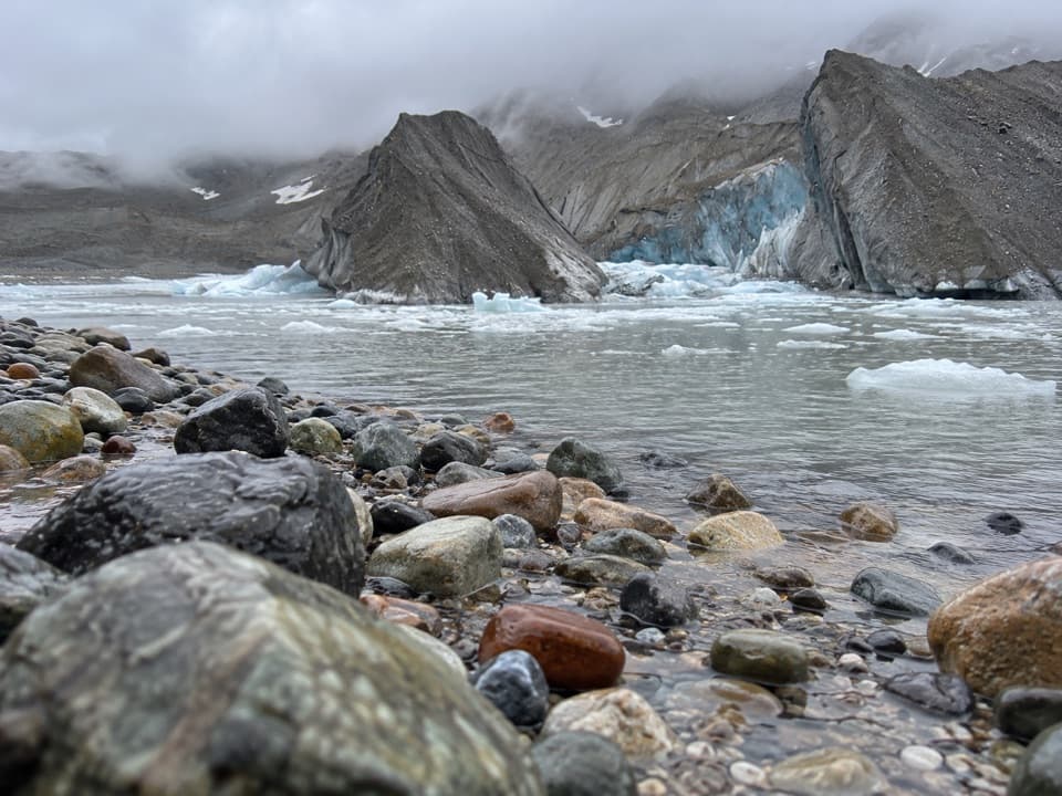 11West Kennecott Glacier TrailA 2.1-mile out-and-back to Kennicott Glacier’s west side.
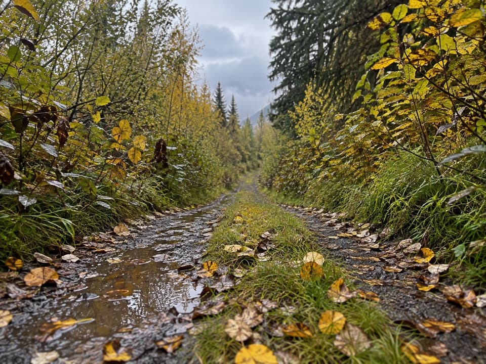 12Wagon Road TrailWalk the old wagon road between McCarthy and Kennecott.
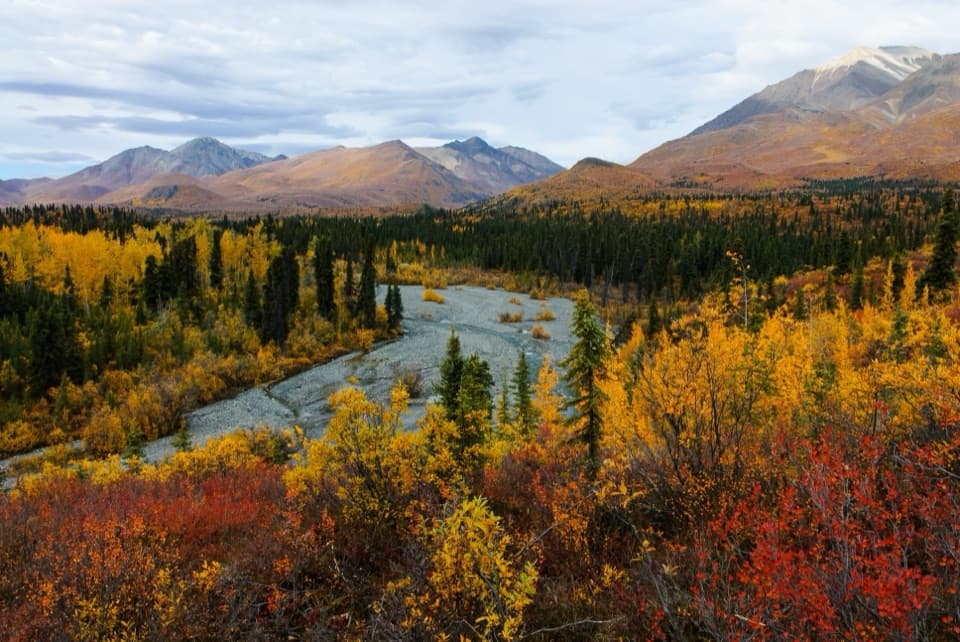 13Trail Creek TrailA rough creekbed walk into a narrow alpine canyon.
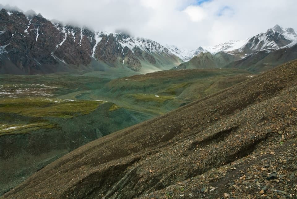 14Trail Creek to Lost Creek LoopA remote creek-to-creek loop over a 6,000-foot pass.
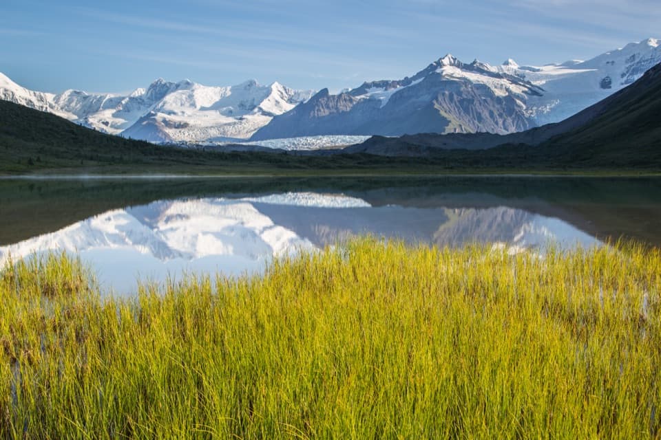 15Donoho Basin TrailGlacier travel opens into a remote basin of alpine lakes.
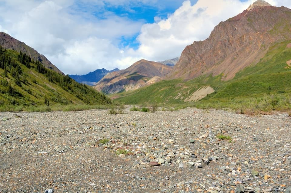 16Lost Creek TrailA rocky creekbed hike into open tundra and Dall sheep country.
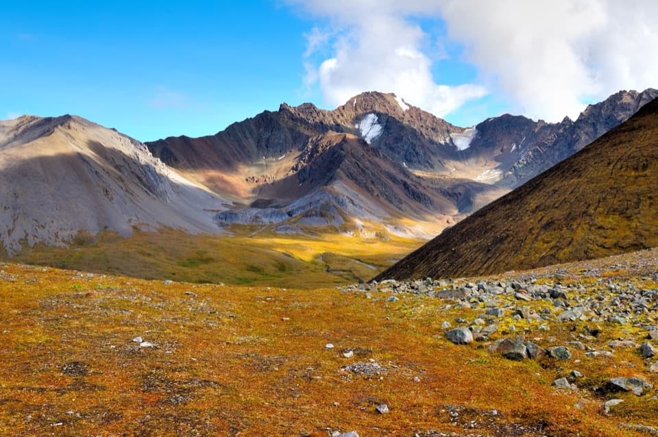 17Dixie Pass TrailAn alpine pass reached by cold creek crossings and difficult navigation.
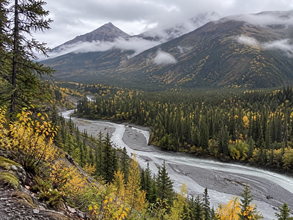 18McCarthy Creek TrailA long creekbed walk ends at a river you may not cross.
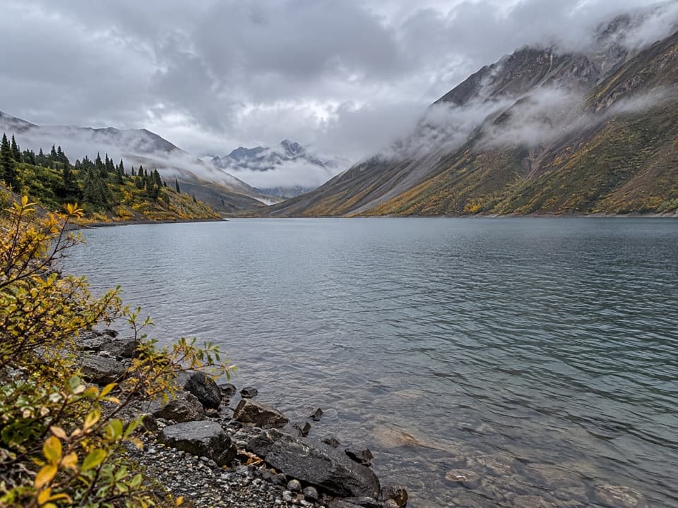 19Soda Lake TrailA turquoise landslide lake, reached by a remote creek-crossing trek.
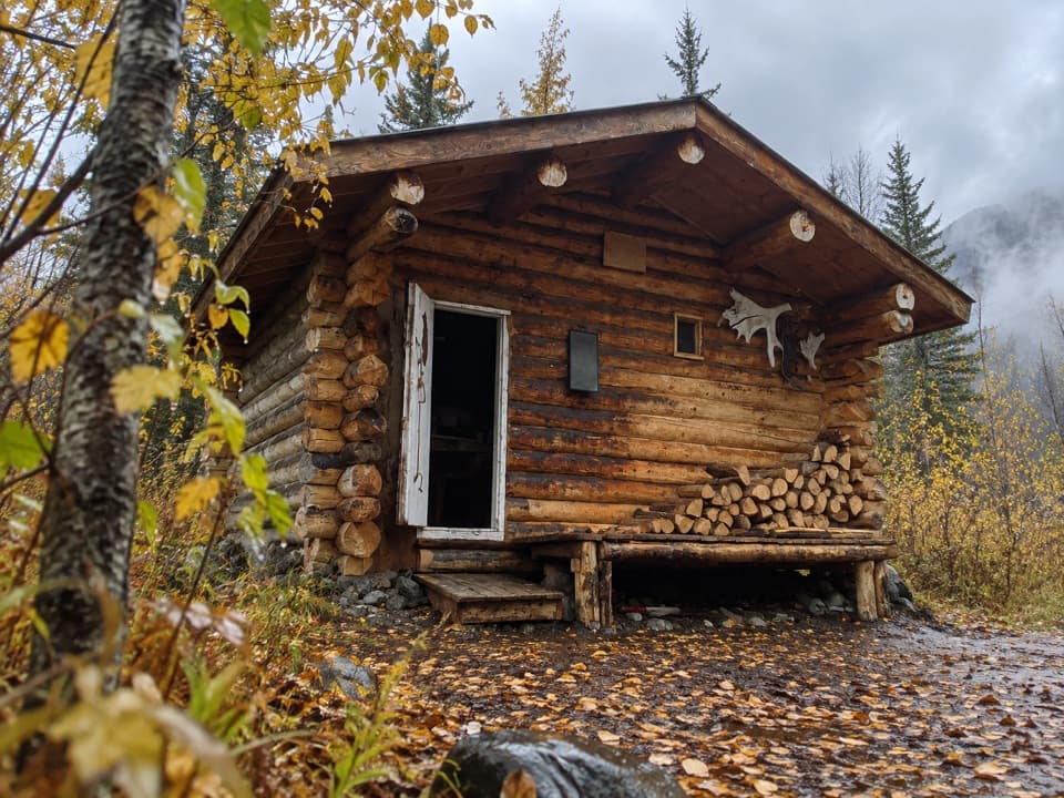 20Nugget Creek TrailA long, level route to a rustic cabin with Mount Blackburn views.
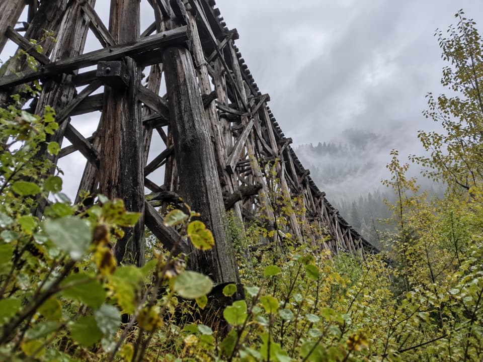 21Gilahina Hiking TrailA downriver path begins by the wayside beside a towering 1911 trestle.
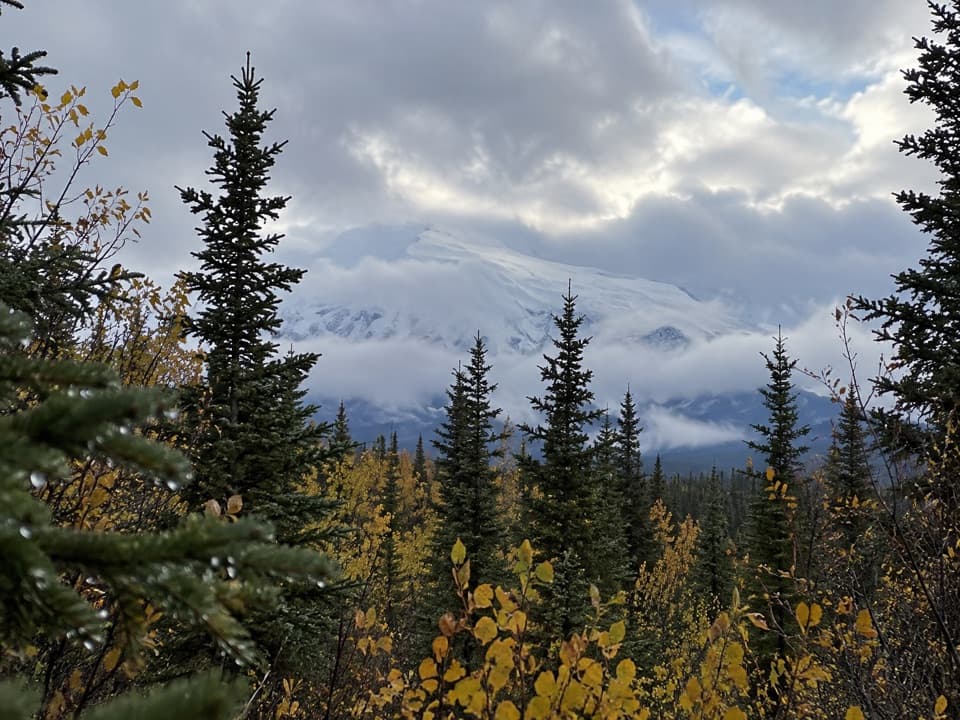 22Copper Lake TrailWalk 5 miles out and back to the Tanada Creek crossing.
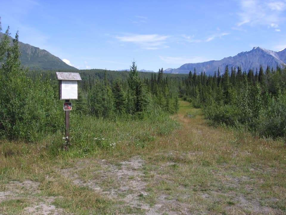 23Reeve's Field TrailA remote route to river views and a 1941 airlift story
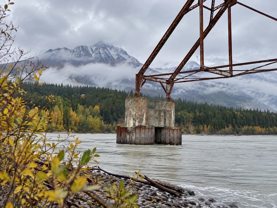 24Nizina River Access via Dan Creek RoadLong road walk to a braided river and a broken old bridge.
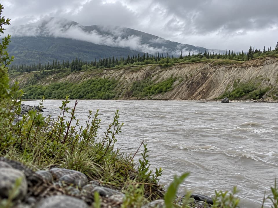 25Kotsina Trail (Easement)A rough 17.7-mile passage to Wrangell-St. Elias wilderness.
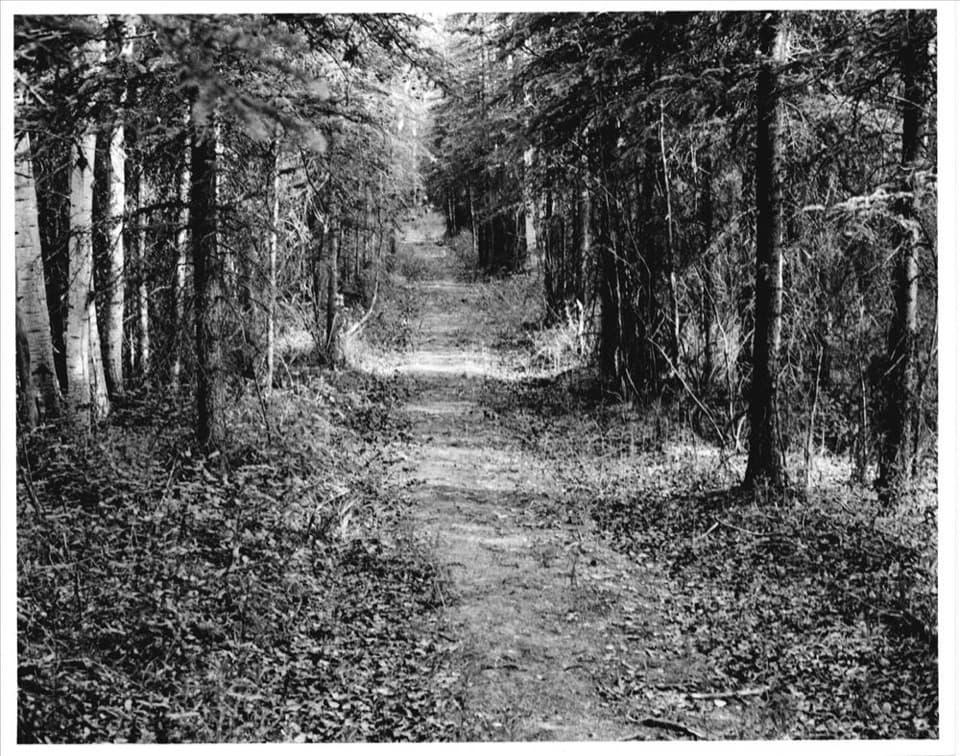 26Valdez TrailWalk an easy, short piece of the historic Valdez Trail.
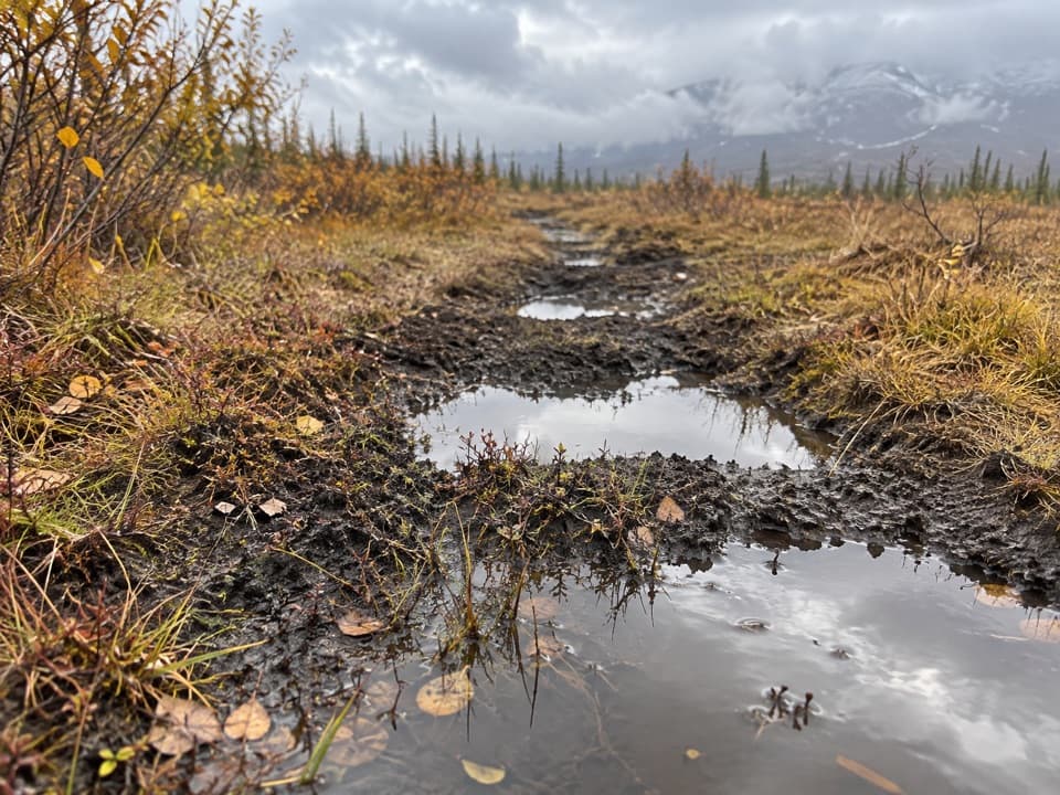 27Tanada Lake TrailA remote, boggy route toward Sheep and Grizzly Lakes.
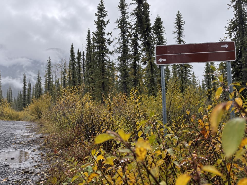 28Suslota Lake TrailA boggy 15-mile return; the park advises against hiking.

The highest, rockiest slopes around here are a summer buffet for grizzly bears.
Wrangell-St. Elias Tour Guide
Wrangell-St. Elias, narrated.
Parkwolf is a GPS audio tour guide for Wrangell-St. Elias National Park. As you drive, it chimes in with what’s ahead: hidden gems, upcoming stops, history, geology, and wildlife, right through your car’s speakers.
See the Wrangell-St. Elias audio tourRecorded for this place
Kennecott Mill Town0:00 / 0:33
“You're coming up on Kennecott's historic mill town, where a fourteen-story red mill rises above the other buildings. Give the town a few hours; there's much more here than the mill itself.”
Plays as you drive up to Kennecott Mines National Historic Landmark in the Parkwolf Wrangell-St. Elias Tour Guide.
More stories near here in the app
- A Meal in Kennecott
- Root Glacier from Kennecott
- Eight Cents for Medical Care
- McCarthy-Kennicott Historical Museum
- 81 audio storiesacross Wrangell-St. Elias’s roads, triggered by GPS as you drive
- Wildlife heatmapsfor Grizzly Bear, Moose, Humpback Whale, and 13 more
- Works offlinemaps, 28 trails, 62 places, and audio download before you lose signal
- CarPlay readysimple controls built for the drive
“Fantastic app with many points of information… It’s great to just turn on while you’re driving and it gives you an audio tour of the national Park. We love it!!!!”

