
All Cape Hatteras places
35 places
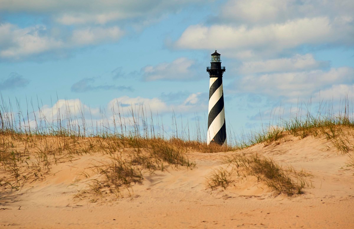
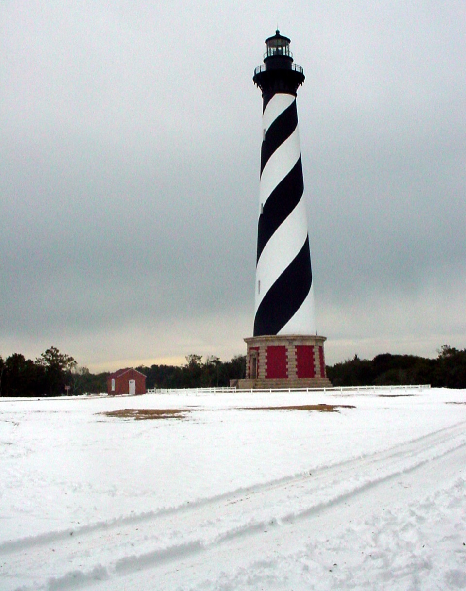 1Cape Hatteras LighthouseA black-and-white beacon for the Graveyard of the Atlantic.
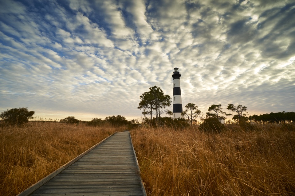 2Bodie Island LighthouseA striped lighthouse above the marsh, with a climb worth the stairs.
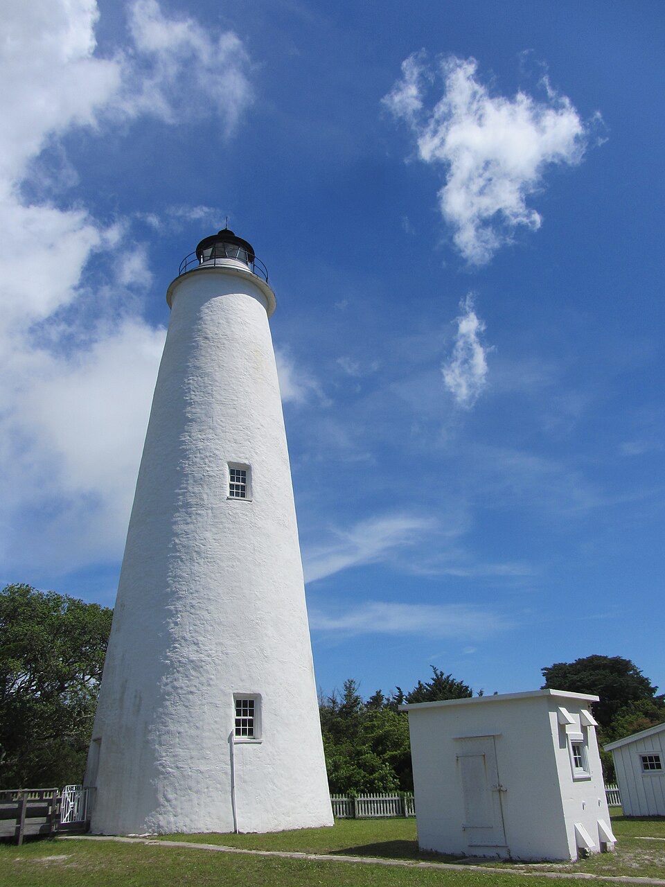 3Ocracoke LighthouseA working 1820s lighthouse, an easy walk from the village.
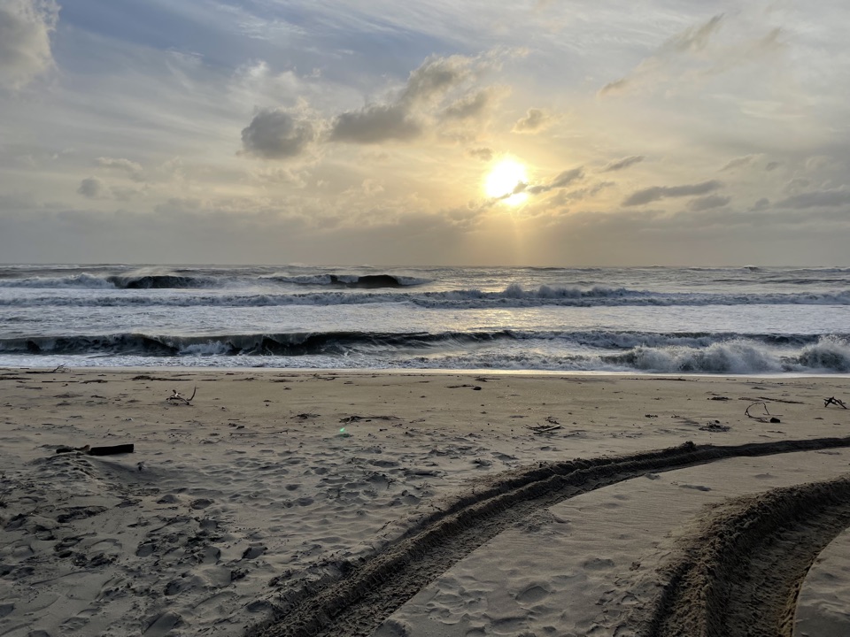 4Cape PointTwo shores, shifting sand, and surf fishing at the island's bend.
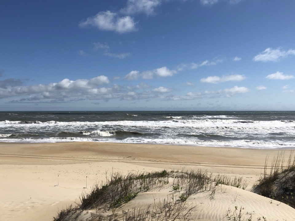 5Coquina BeachA dune boardwalk opens onto the Atlantic at this summer swim beach.
 6Bonner Bridge PierA 1,046-foot remnant reaches out into Oregon Inlet.
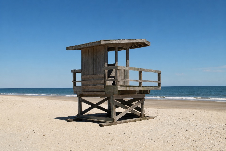 7Ocracoke BeachA boardwalk leads to a warmer Atlantic beach with summer lifeguards.
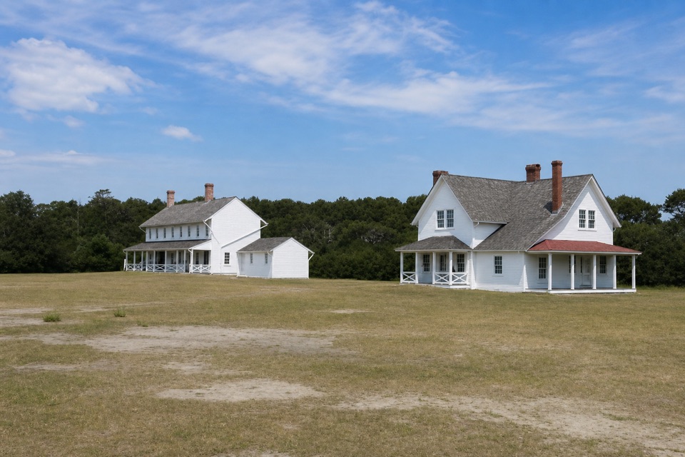 8Museum of the SeaShipwreck and lifesaving stories inside a 1854 keeper house.
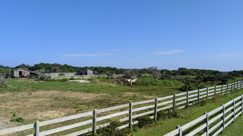 9Ocracoke Pony PensTwo raised decks offer an easy chance to spot Ocracoke's horses.
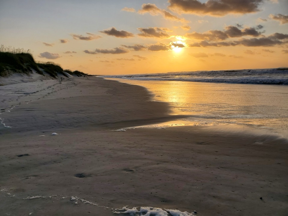 10Frisco BeachWarmer southern surf and a bathhouse make this an easy swim stop.
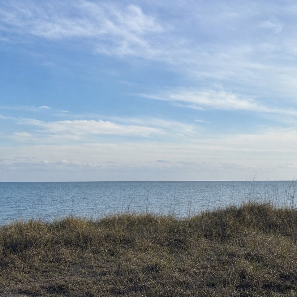 11Haulover Day Use AreaShallow sound water and a spring/fall wind-sports scene.
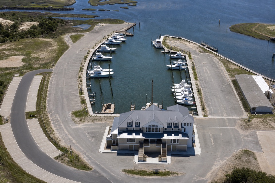 12Oregon Inlet Fishing CenterA working charter marina you can visit without booking a trip.
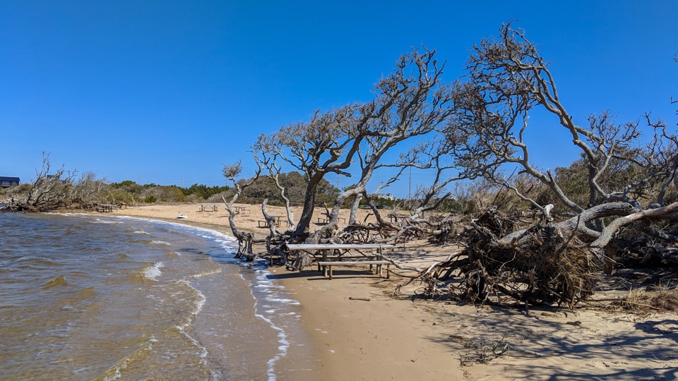 13Salvo Day Use AreaA sandy soundside break for paddling and a waterside picnic.
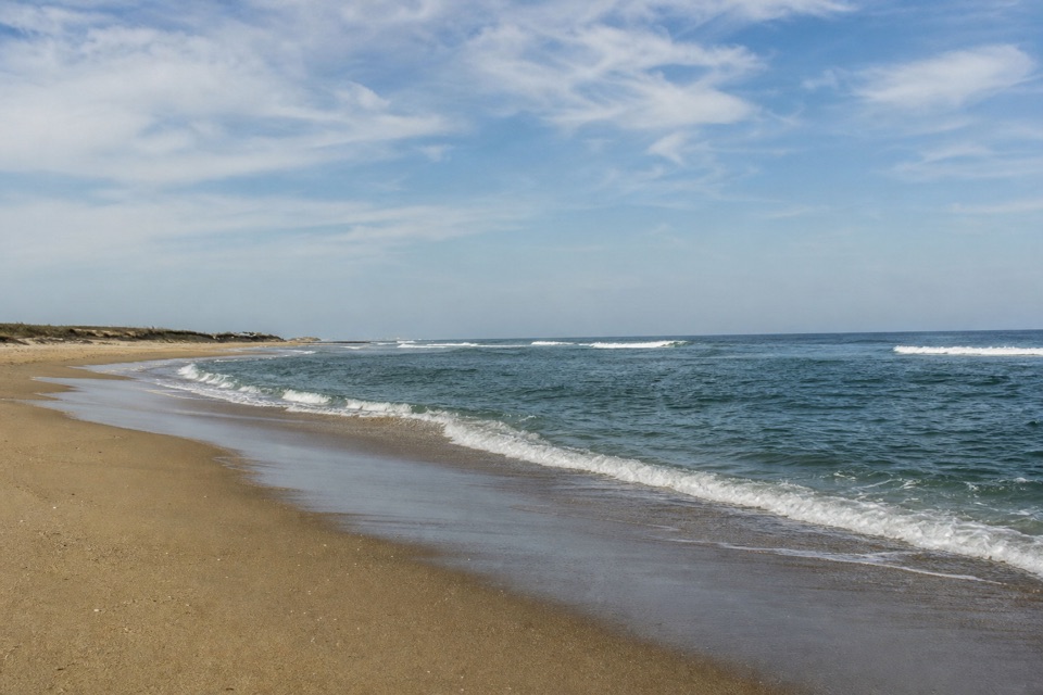 14Old Lighthouse BeachSurf, shells and a lighthouse story written into the sand.
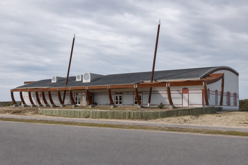 15Graveyard of the Atlantic MuseumShipwreck stories and a 20-foot lighthouse lens, just off the ferry route.
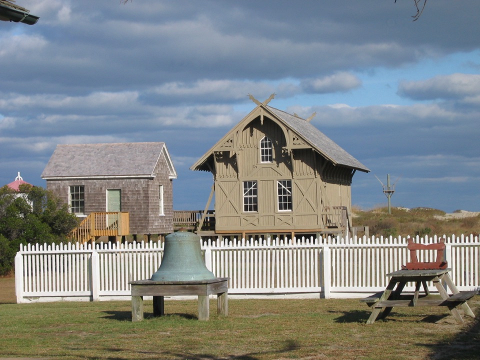 16Chicamacomico Life-Saving Station Historic Site & MuseumFive exhibit buildings include the surfboat from the Mirlo rescue
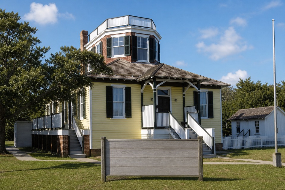 Hatteras Island Weather Bureau StationA small station that carried urgent warnings to Hatteras mariners.
 17Buxton British CemeteryTwo sailors' graves give this short stop a World War II story.
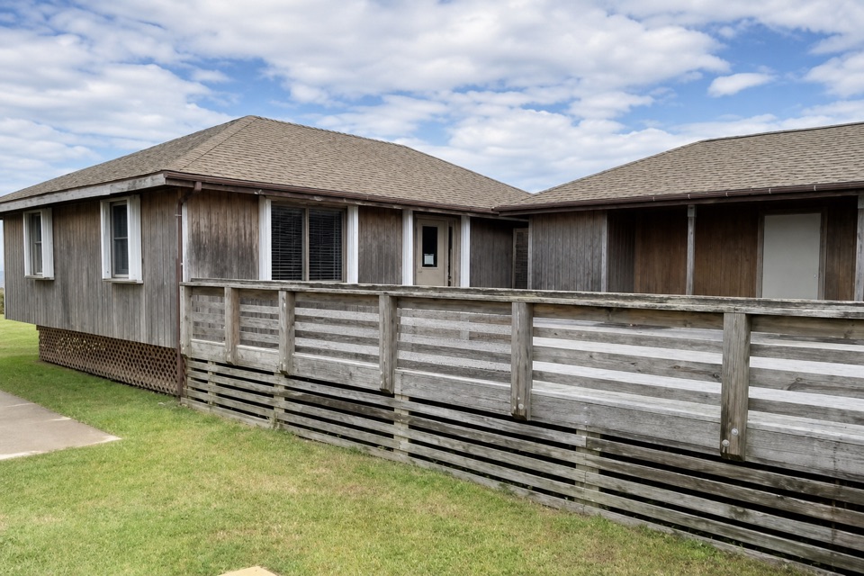 Ocracoke Island Discovery CenterA useful first stop for maps, park info, and island bearings.
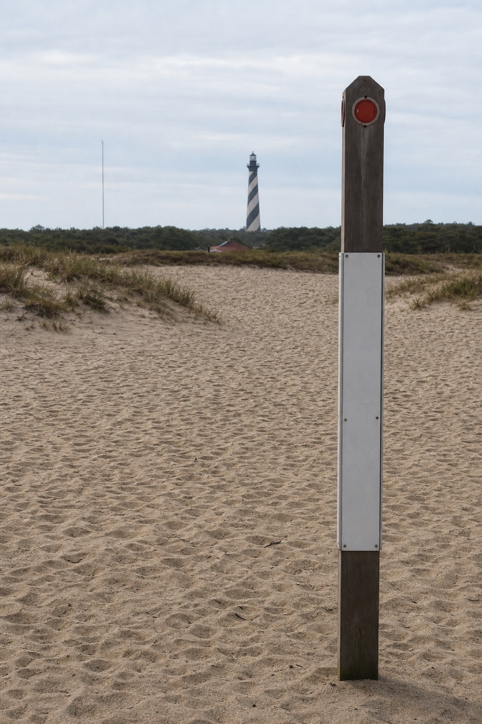 18Historic Cape Hatteras Lighthouse SiteSee the old footprint and the tower’s 2,900-foot move.
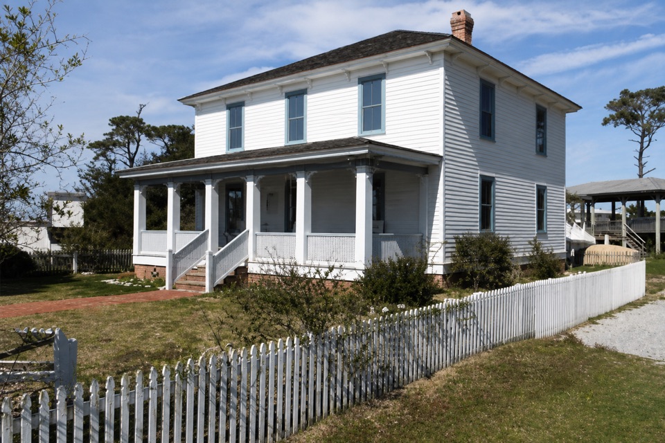 19Ocracoke Preservation Society MuseumOcracoke history inside a restored home from around 1900.
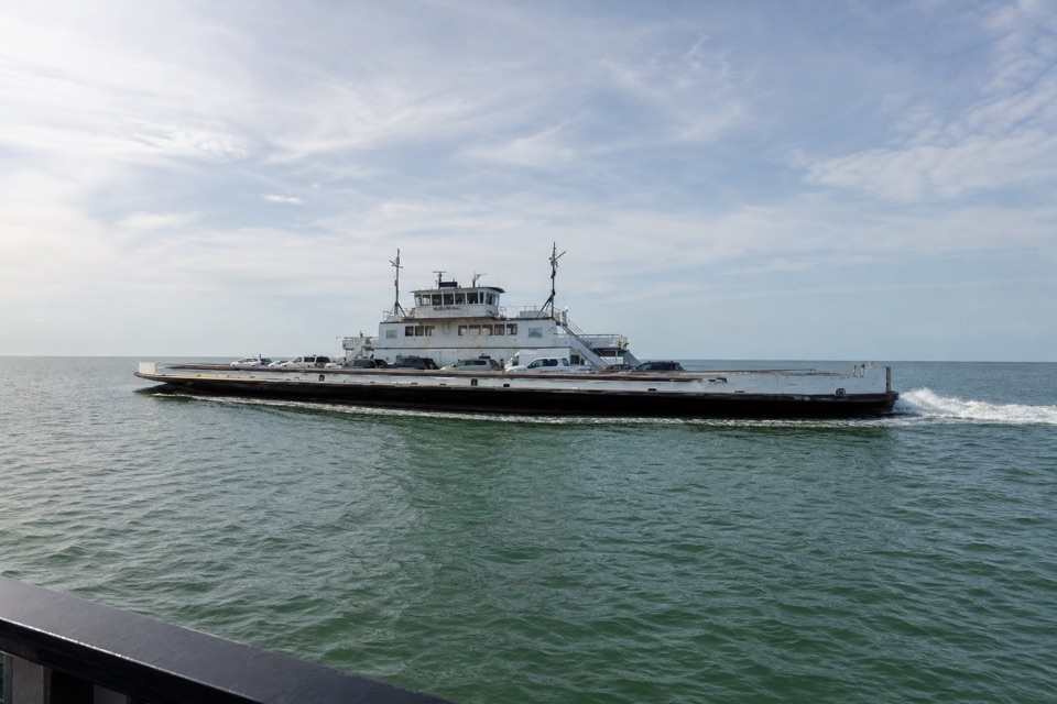 20Hatteras Ferry TerminalThe working ferry gateway to Ocracoke, with beaches nearby while you wait.
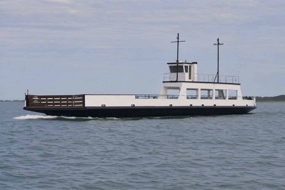 21Ocracoke North Ferry TerminalThis open-water ferry links Hatteras with Ocracoke's north end.
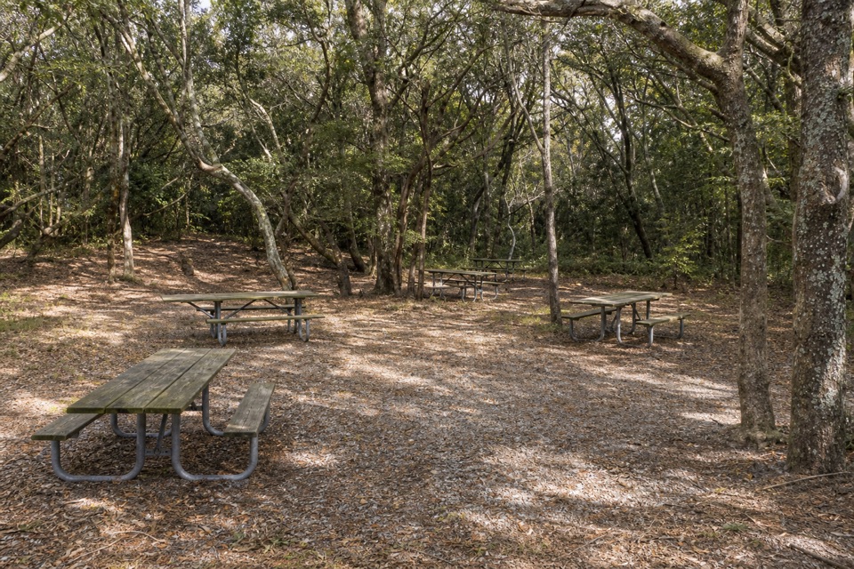 Buxton Woods Picnic AreaA shady picnic stop with a lighthouse view and forest trail.
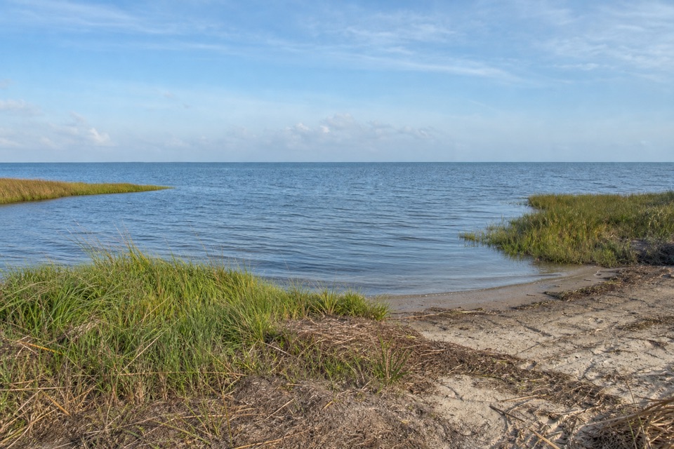 22Sandy Bay Sound AccessTrade a narrow sound beach for the Atlantic without moving the car.
 Orange Blossom Bakery & CaféA big apple fritter with a story built into the dough.
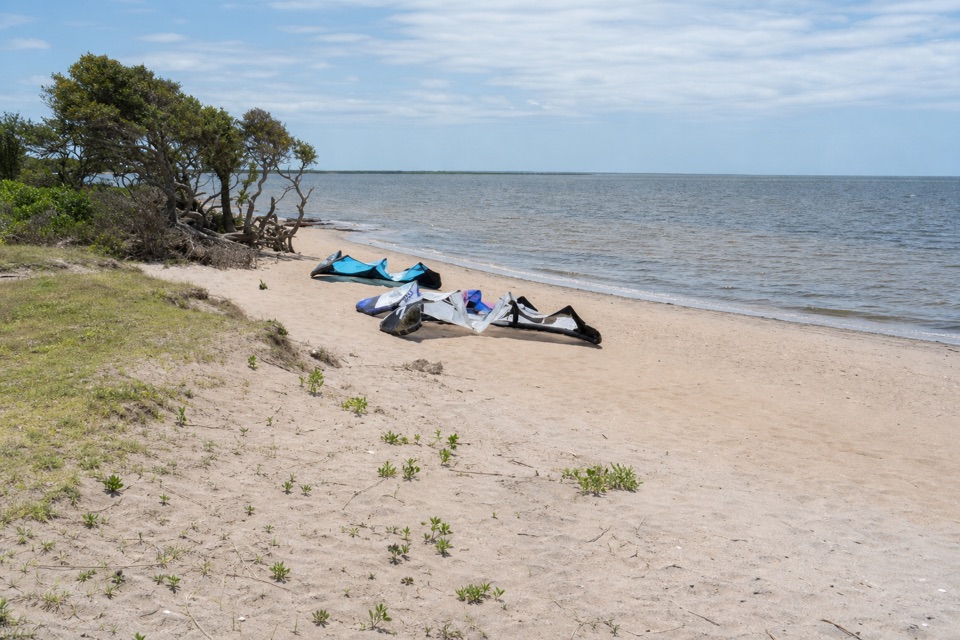 23Kite PointShallow Pamlico Sound water is a draw for kiteboarders.
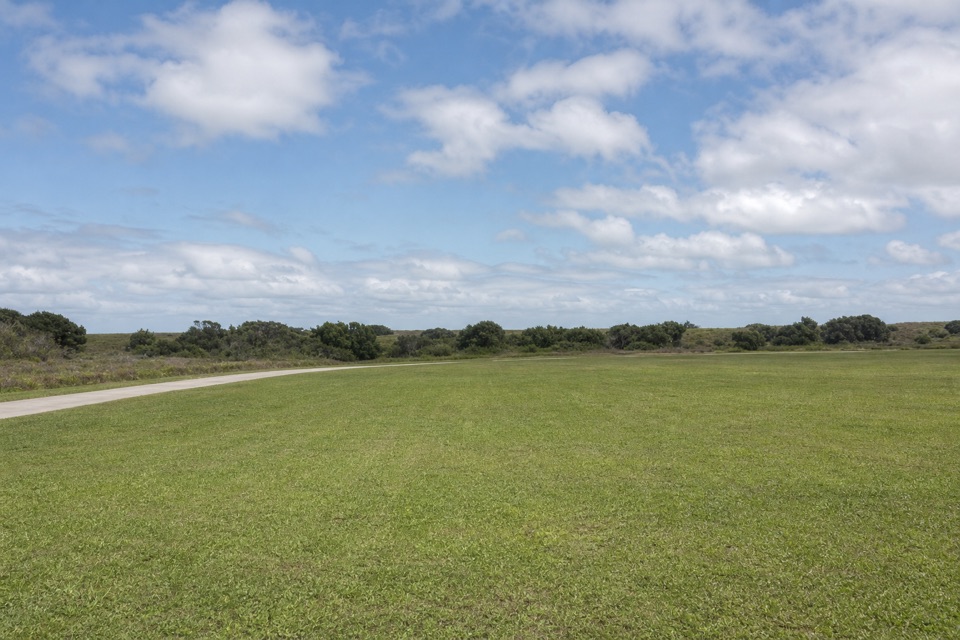 Cape Point CampgroundOpen camping, a dune walk from the Atlantic and Cape Point.
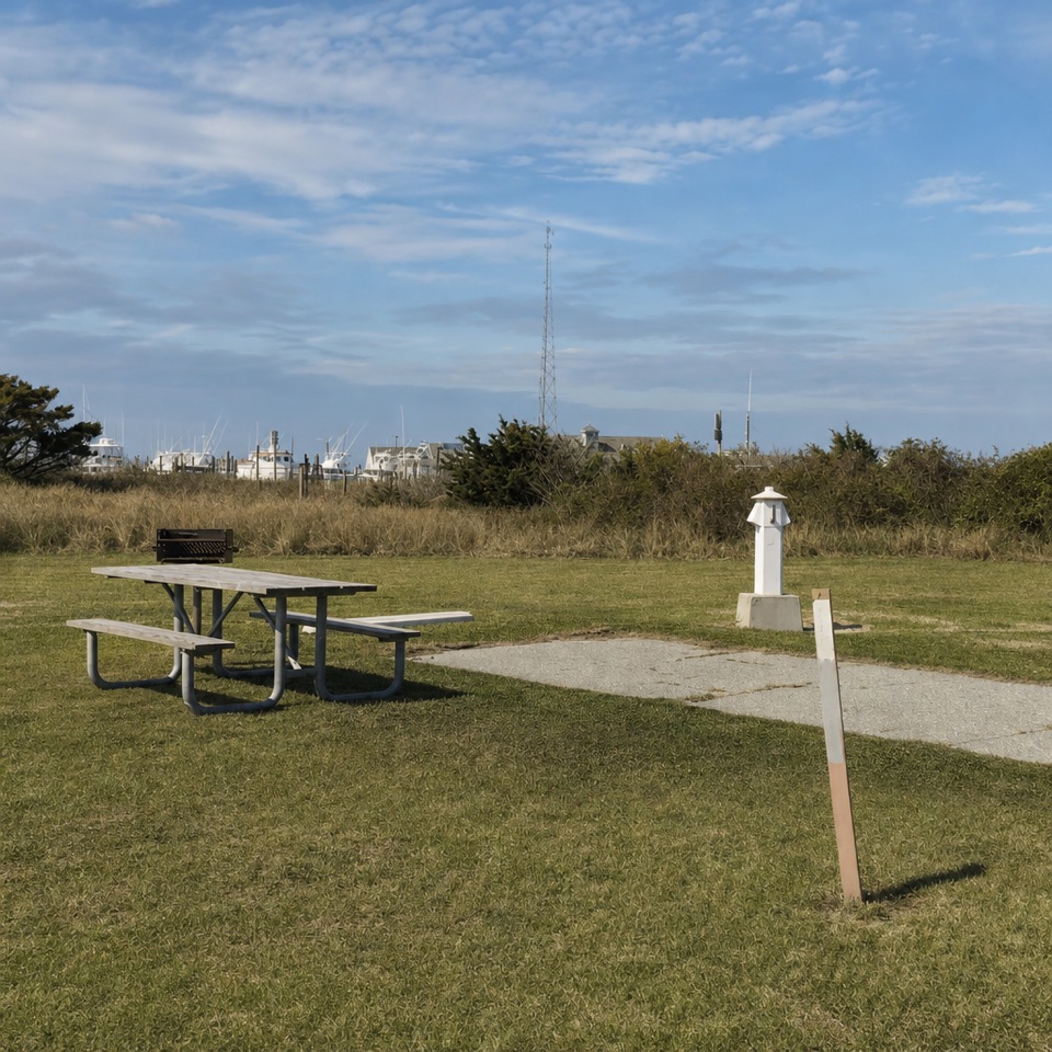 Oregon Inlet CampgroundOpen sites, nearby surf, and a dune walk between camp and beach.
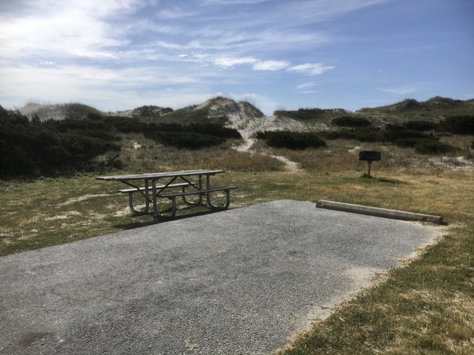 Ocracoke CampgroundCamp behind the dunes, with the Atlantic a short walk away.
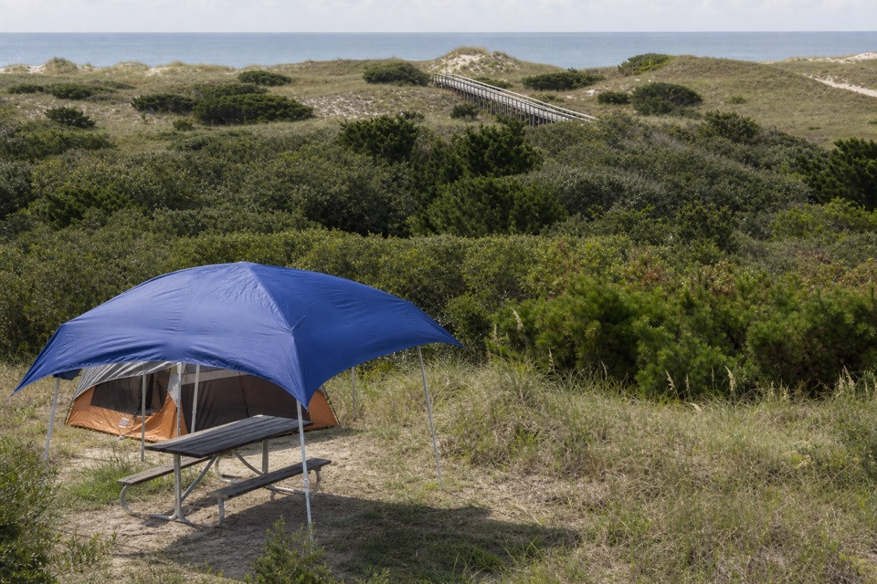 Frisco CampgroundPitch your tent among dunes, then take the boardwalk to the beach.
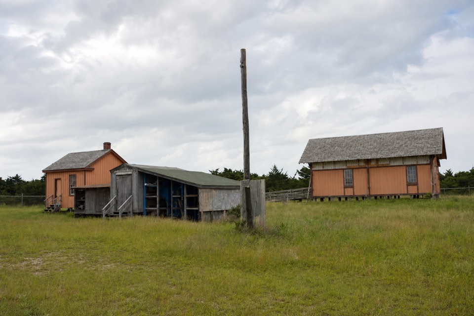 24Little Kinnakeet Life-Saving StationOne of only three surviving 1874 stations in America.
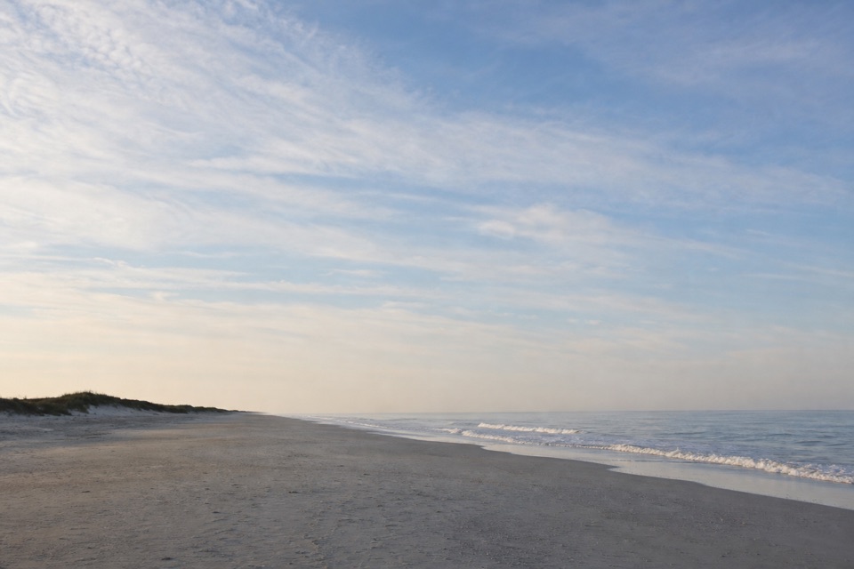 25Pony Pasture BeachA boardwalk crosses the dunes to Ocracoke’s Atlantic shore.
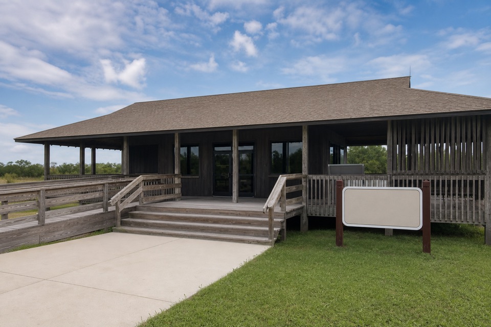 Whalebone Junction Information CenterMaps, beach updates and a short walk to an 1848 survey marker.
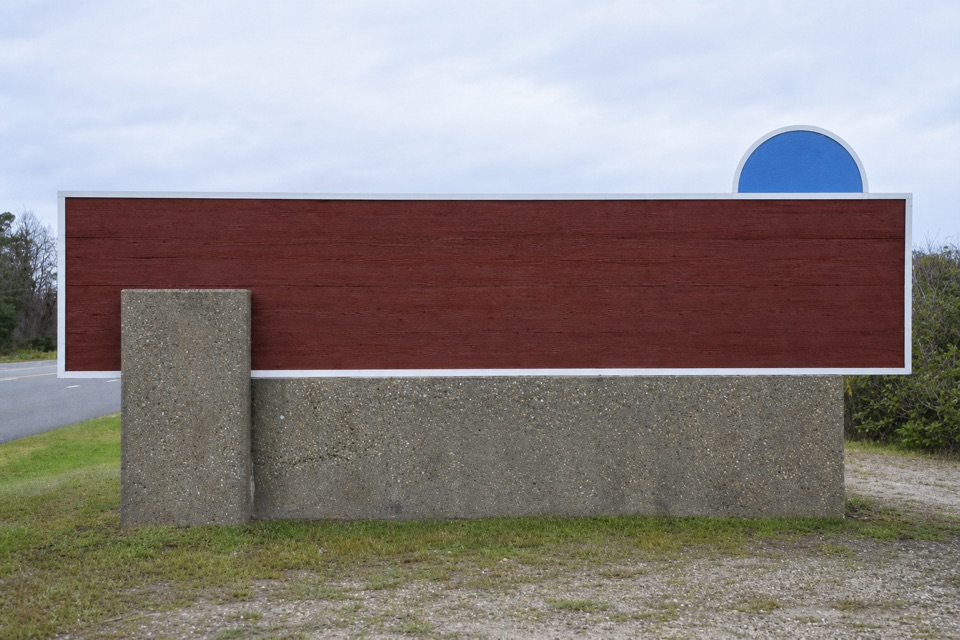 26Cape Hatteras National Seashore Welcome SignA roadside marker for the seashore’s northern approach
The highest, rockiest slopes around here are a summer buffet for grizzly bears.
Cape Hatteras Tour Guide
Cape Hatteras, narrated.
Parkwolf is a GPS audio tour guide for Cape Hatteras National Seashore. As you drive, it chimes in with what’s ahead: hidden gems, upcoming stops, history, geology, and wildlife, right through your car’s speakers.
Recorded for this place
Cape Hatteras Lighthouse Grounds0:00 / 0:33
“You're approaching the Cape Hatteras Lighthouse grounds, where the black-and-white spiral tower stands beside the old keepers' buildings. This is a stop I'd keep even if you only walk the grounds.”
Plays as you drive up to Cape Hatteras Lighthouse in the Parkwolf Cape Hatteras Tour Guide.
More stories near here in the app
- Buxton British Cemetery and Open Ponds Trail
- Old Lighthouse Beach and the Former Tower Site
- Orange Blossom Bakery and the Apple Ugly
- Cape Point
- 67 audio storiesacross Cape Hatteras’s roads, triggered by GPS as you drive
- Wildlife heatmapsfor Brown Pelican, Tamanend's Bottlenose Dolphin, Bald Eagle, and 13 more
- Works offlinemaps, 11 trails, 35 places, and audio download before you lose signal
- CarPlay readysimple controls built for the drive
“Fantastic app with many points of information… It’s great to just turn on while you’re driving and it gives you an audio tour of the national Park. We love it!!!!”

