
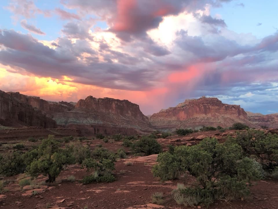
All Capitol Reef places
52 places
 1Hickman BridgeA 133-foot bridge rewards a rocky climb past Fremont remains.
 2Gifford HomesteadFruita's pioneer farmhouse shares its history with the fruit-pie shop.
 3Fremont PetroglyphsFind tall human figures and geometric bighorns across the red wall.
 4Cassidy ArchWalk across a sandstone arch with Grand Wash far below.
 5Temples of the Sun and MoonTwo sandstone towers make the long Cathedral Valley drive worthwhile.
 6Fruita OrchardsAround 1,900 trees keep Fruita’s farming past alive.
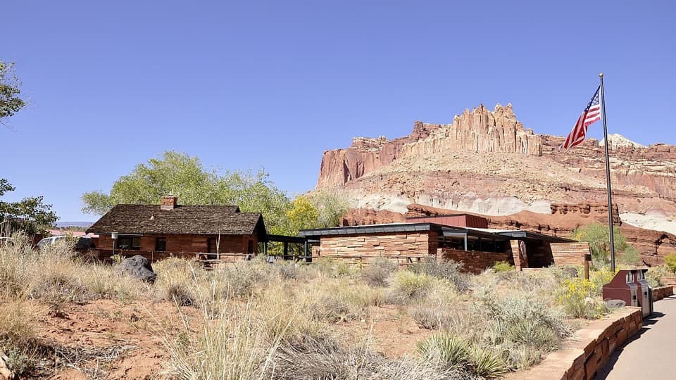 Capitol Reef National Park Visitor CenterMaps, ranger help, and an 18-minute film make a useful first stop.
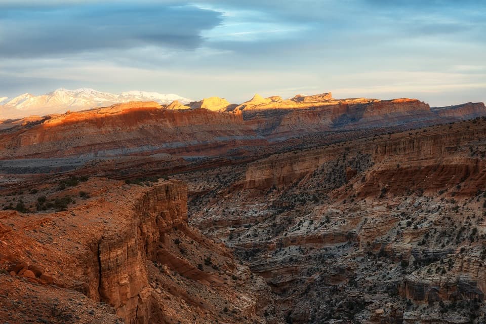 7Sunset PointA short walk to sunset color on the Waterpocket Fold.
 8Goosenecks OverlookQuick access to Sulphur Creek's tight turns.
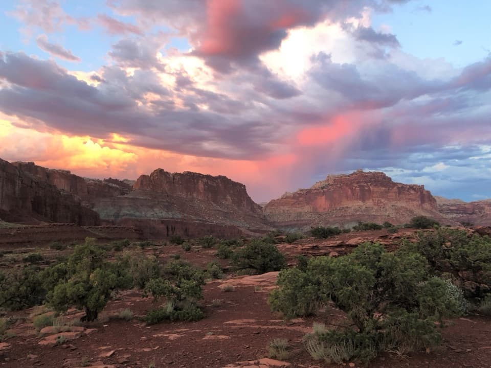 9Panorama PointA 360-degree red-rock view after one very short walk.
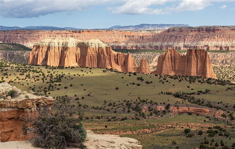 10Upper Cathedral Valley OverlookA short rim walk above Cathedral Valley’s sandstone cathedrals.
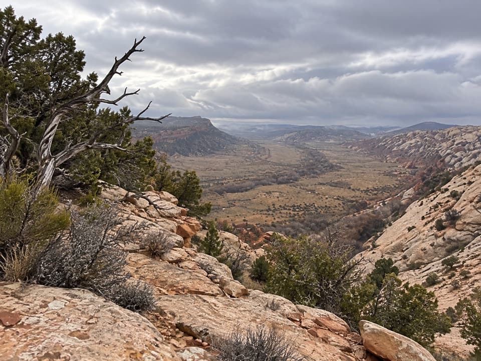 11Strike Valley OverlookA short slickrock climb opens a wide view of the Waterpocket Fold.
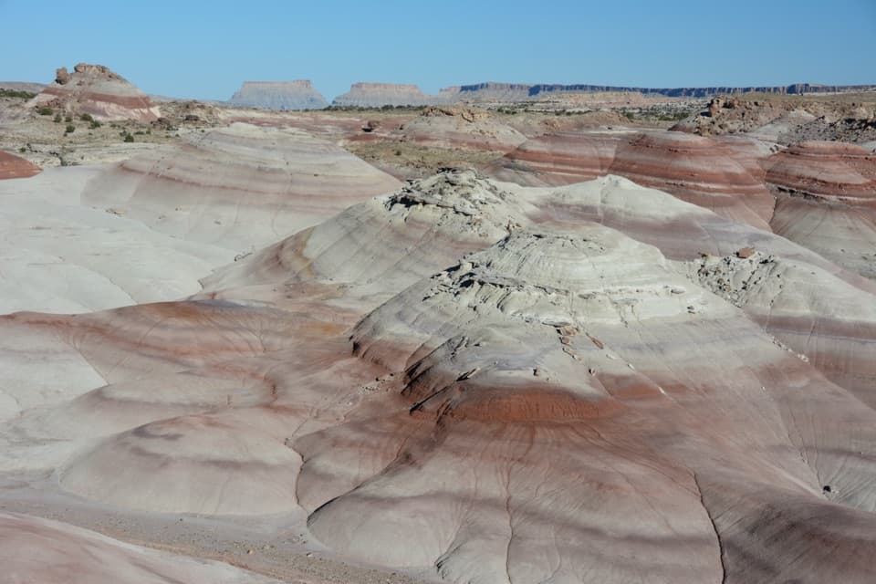 12Bentonite HillsBanded clay hills are worth a stop on the Cathedral Valley loop.
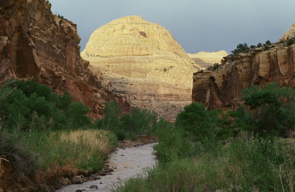 13Capitol DomeSee the sandstone formation that helped give Capitol Reef its name.
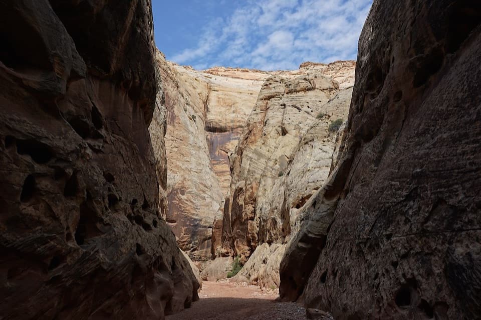 14Grand Wash NarrowsA tight sandstone passage worth the walk from Highway 24.
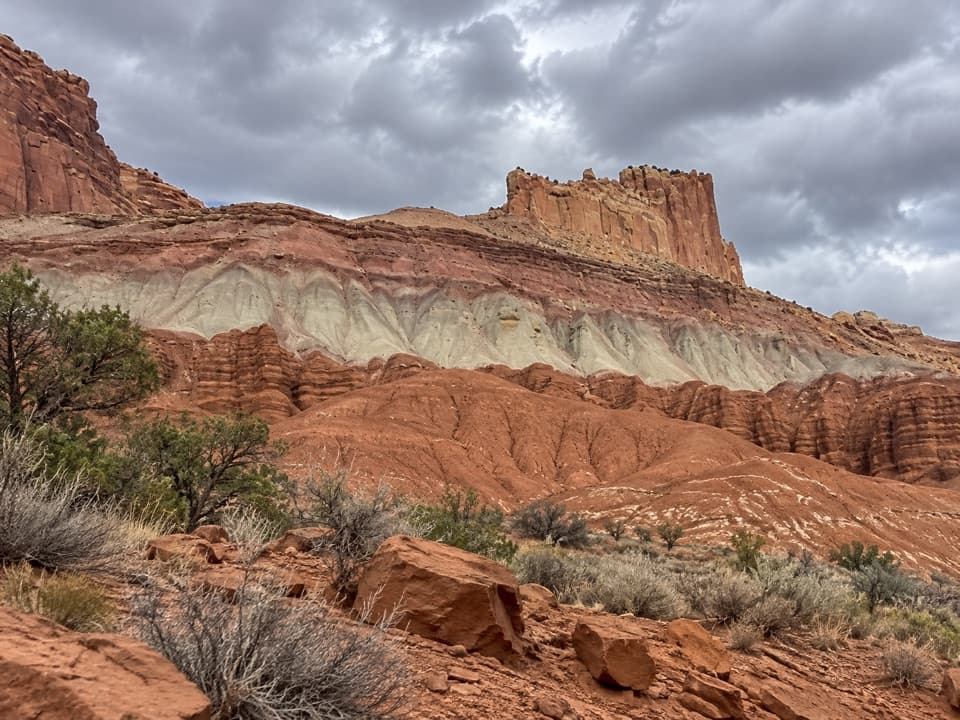 15The Castle ViewpointA sandstone bluff cut free by erosion’s own moat.
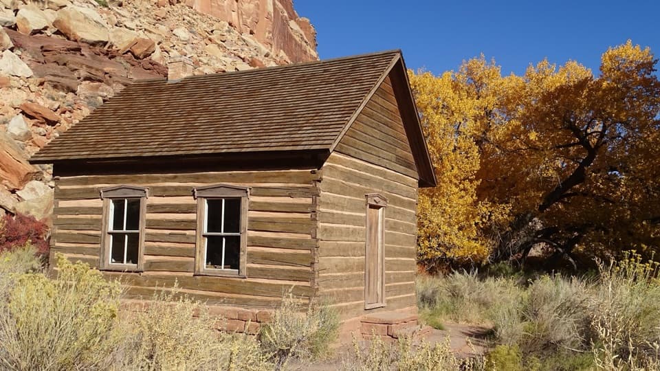 16Fruita SchoolhouseA restored classroom, seen through its windows, tells a small-town story.
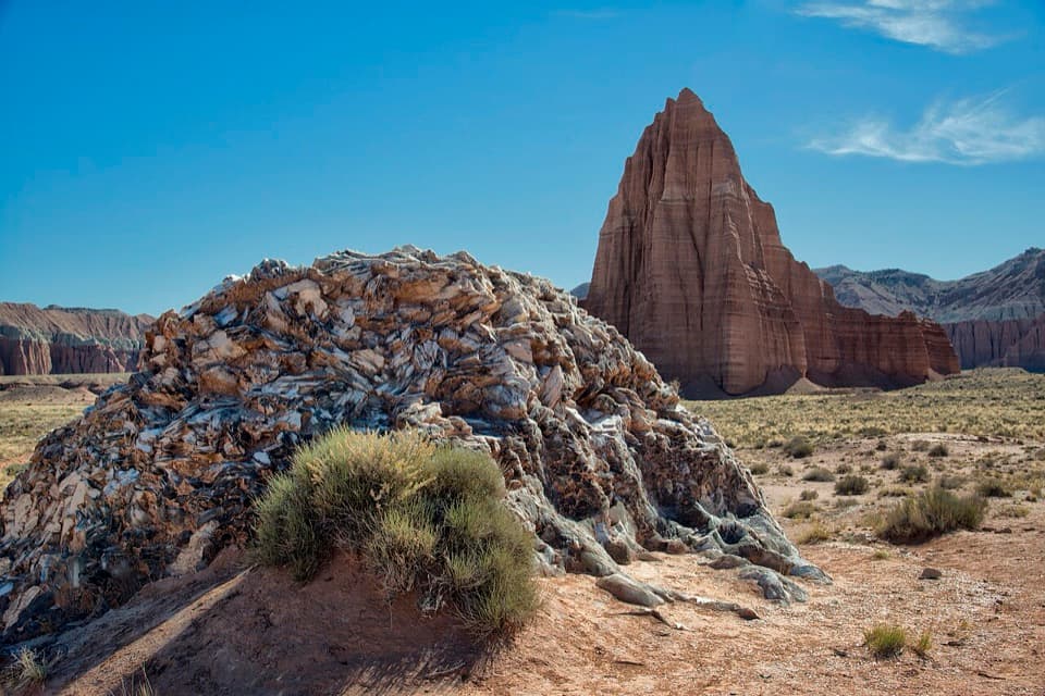 17Glass MountainA 15-foot crystal mound framed by Temple of the Sun.
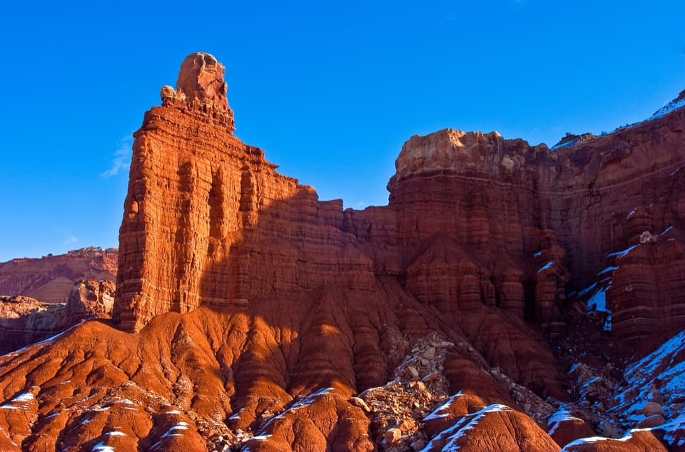 18Chimney RockA capped red-rock tower beside the road, with a strenuous loop.
 19Pioneer RegisterTwo prospectors left their names here on September 20, 1871.
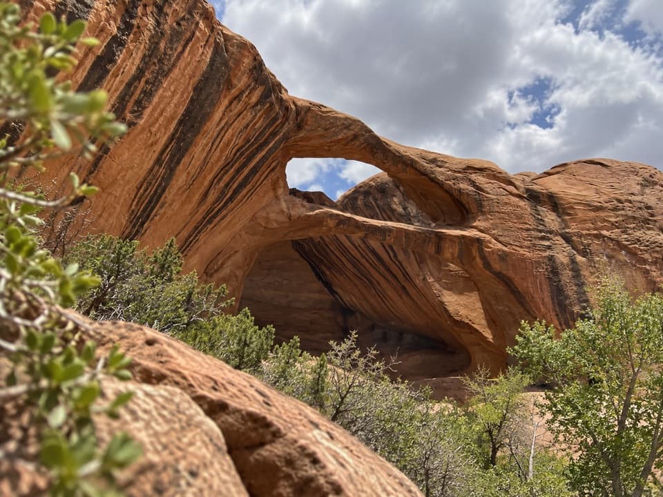 20Brimhall Natural BridgeA remote double arch for experienced canyon hikers.
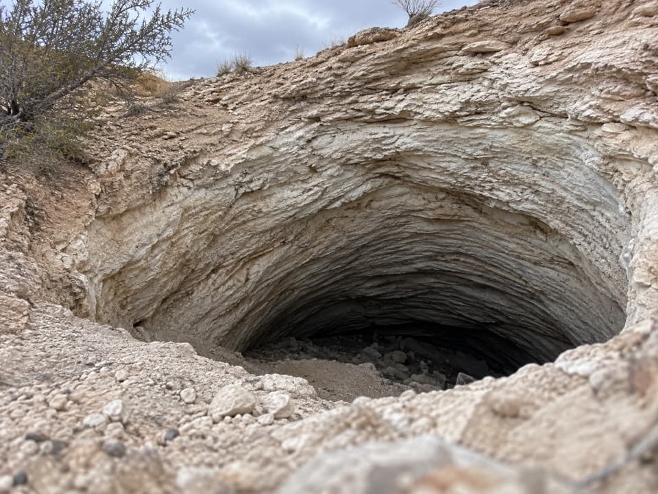 21Gypsum SinkholeA 200-foot sinkhole worth adding to a Cathedral Valley loop.
 22Rim OverlookGo this far for a cliff-top look at Fruita's patchwork orchards.
 23Navajo KnobsClimb high above Fruita for a 360-degree view of the Waterpocket Fold
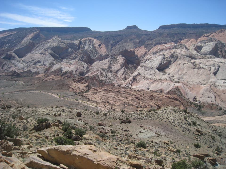 24Halls Creek OverlookA far-flung view above a 22-mile backcountry route.
 25Lower South Desert OverlookA sweeping view of Jailhouse Rock, earned by a rough drive.
 26Behunin CabinA tiny cabin tells a surprisingly big pioneer story.
 27Golden Throne ViewpointA four-mile hike to the sandstone dome above Capitol Gorge.
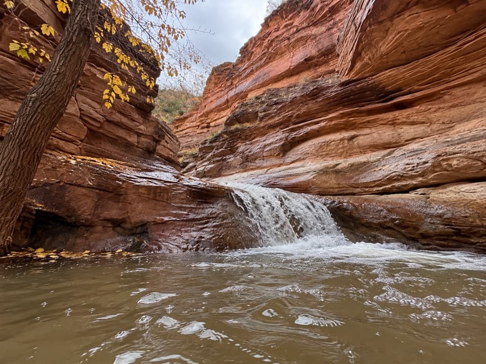 28Lower Sulphur Creek WaterfallA short creek walk ends at a small waterfall.
 29Upper South Desert OverlookA rocky rise opens a 360-degree view over South Desert.
 30Lower Cathedral Valley OverlooksA rough walk for a rare bird’s-eye view of Capitol Reef’s temples.
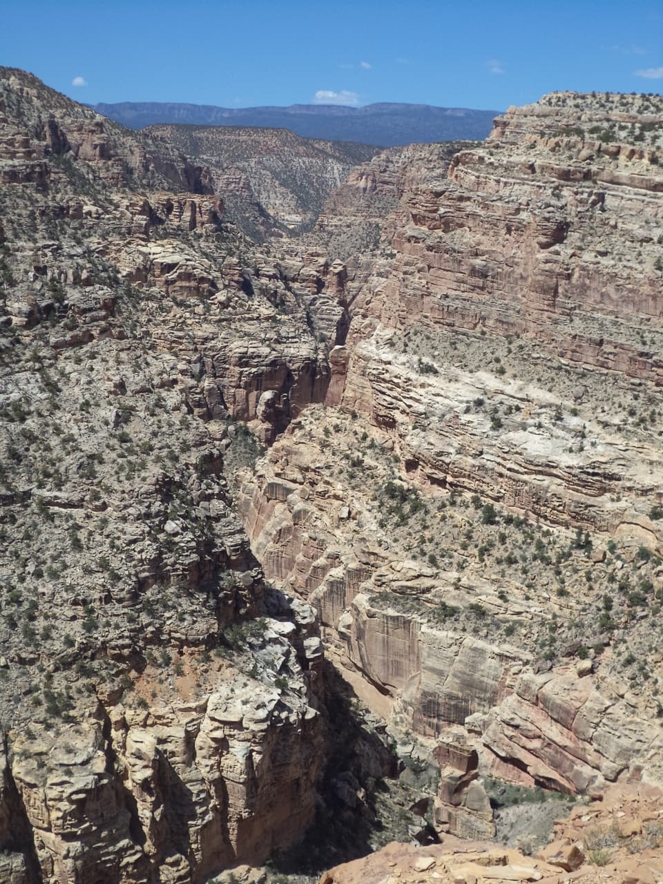 31Fremont Gorge OverlookA tough mesa climb ends above Fremont River Gorge.
 32The TanksSmall rain-fed pools turn pale sandstone into living habitat.
 Fruita CampgroundAn orchard campground under red cliffs beside the Fremont River.
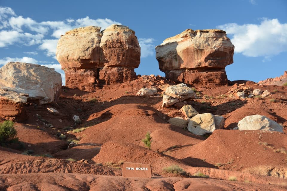 33Twin Rocks ViewpointA quick stop for two pale caps and their shrinking red pedestals.
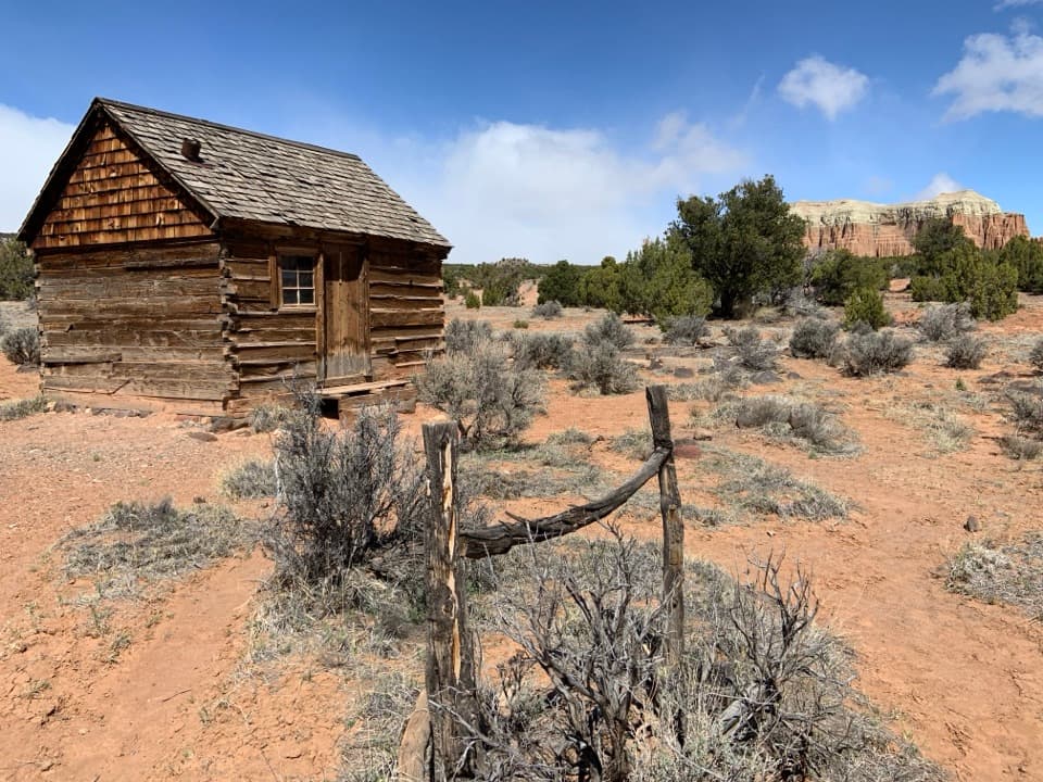 34Lesley Morrell Line CabinA relocated ranching cabin and corral in remote Cathedral Valley.
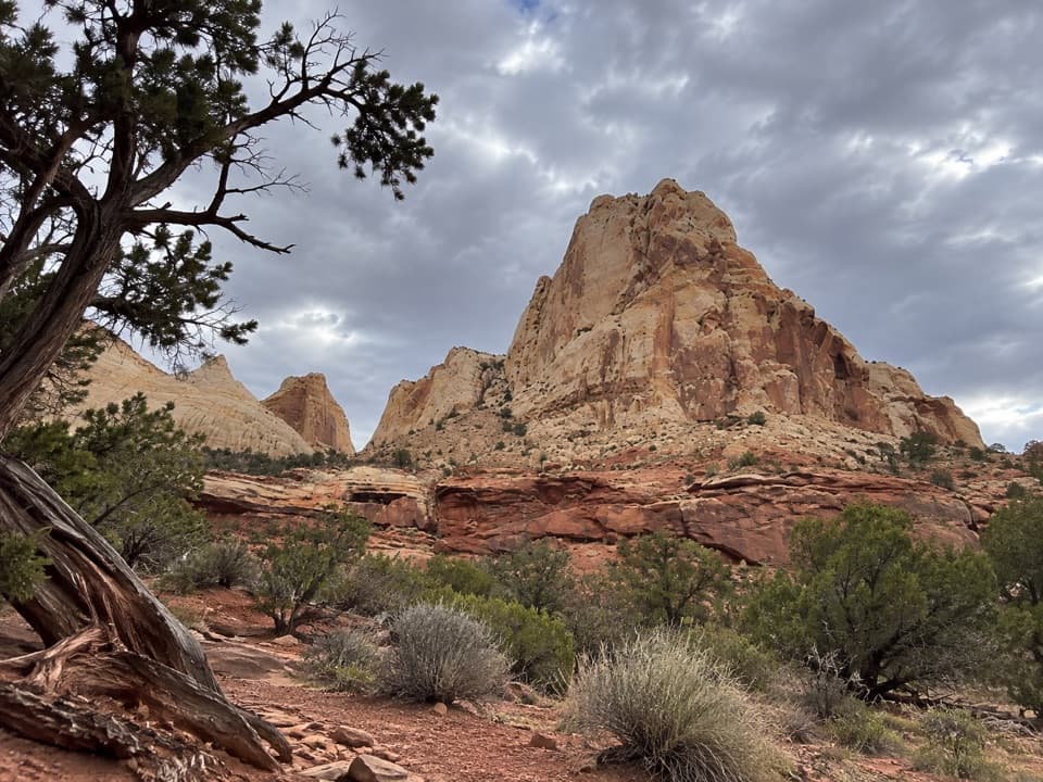 35Navajo Dome ViewpointA roadside look at Navajo Dome above the Waterpocket Fold.
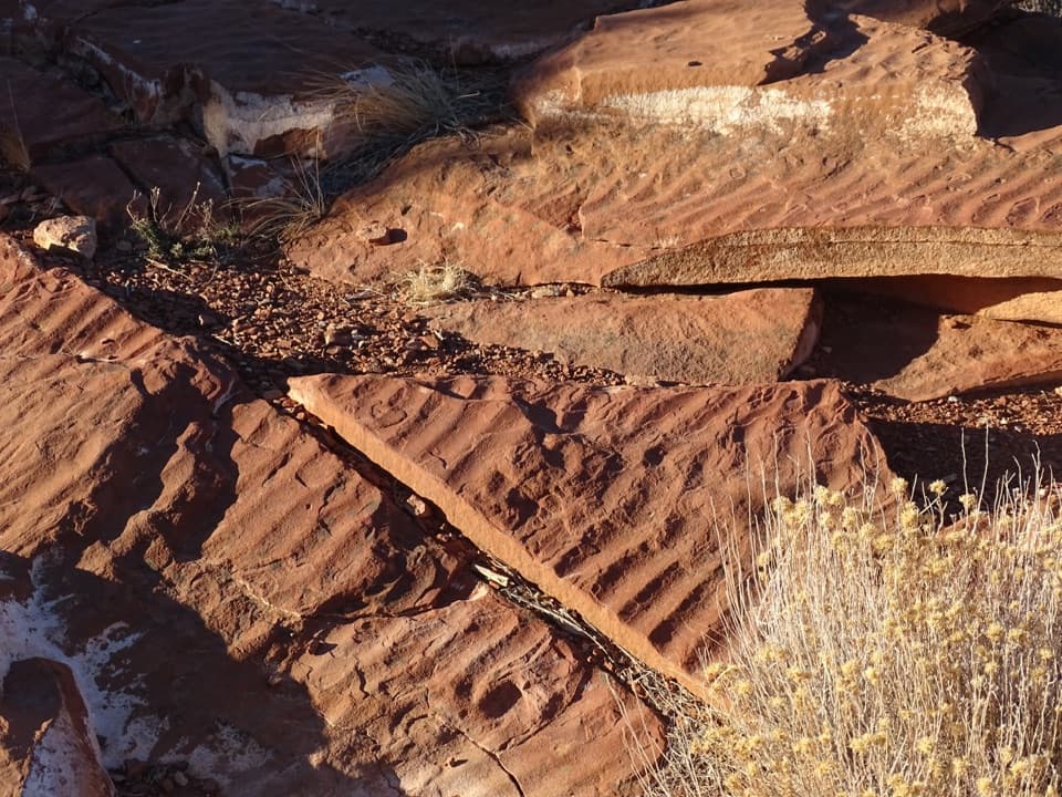 36Slickrock DivideA quick stop where ripple slabs sit on a drainage divide.
 37North Fruita OverlookA steep climb pays off in a sweeping canyon view.
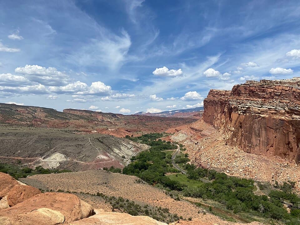 38South Fruita OverlookThe layers of the Waterpocket Fold make sense from above Fruita.
 39Fluted Wall ViewpointA quick roadside stop for the Moenkopi’s fluted red wall.
 40Merin Smith Implement ShedPeek through the open doors at Fruita's old farm machinery.
 Fruita Picnic AreaA shaded lawn makes a welcome pause in Fruita's red-rock valley.
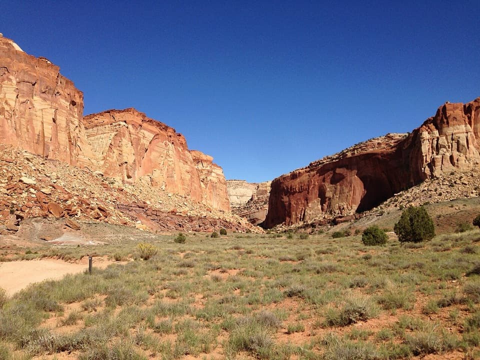 41Oyler Mine ViewpointA quick roadside pause for Capitol Reef's uranium story.
 Cathedral Valley CampgroundA quiet six-site base for the long Cathedral Valley loop.
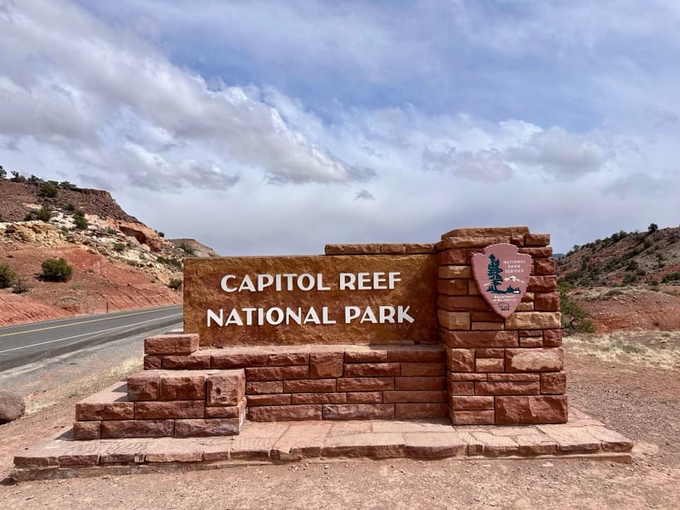 42Capitol Reef West Entrance PulloffA signed west-edge stop with Chimney Rock to the east.
 Cedar Mesa CampgroundA remote base for Red Canyon and the Waterpocket Fold.
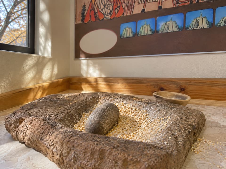 43Ripple Rock Nature CenterA shaded Fruita stop; check for seasonal outdoor programs
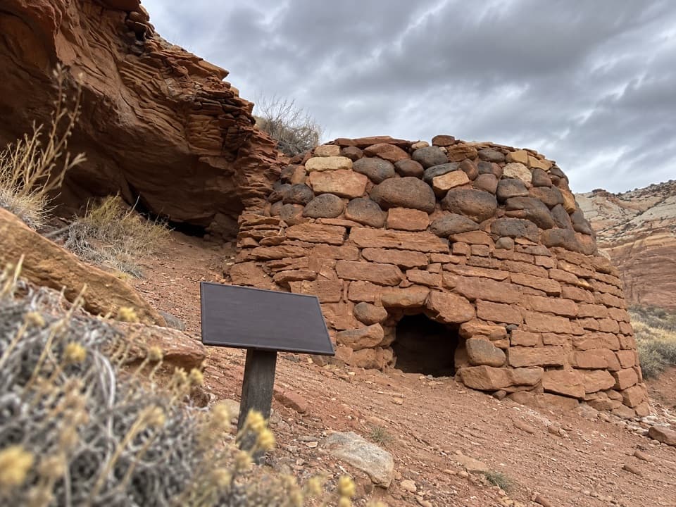 44Sulphur Creek Lime KilnA small historic kiln adds Fruita history to a rough creek walk.
 45Capitol Reef East Entrance WaysideA quick map stop before the 15-mile Highway 24 crossing.
 Scenic Drive Picnic AreaA sheltered lunch stop at the end of the paved Scenic Drive.
 Capitol Gorge Picnic AreaA covered picnic stop at the start of a storied gorge walk.

The highest, rockiest slopes around here are a summer buffet for grizzly bears.
Capitol Reef Tour Guide
Capitol Reef, narrated.
Parkwolf is a GPS audio tour guide for Capitol Reef National Park. As you drive, it chimes in with what’s ahead: hidden gems, upcoming stops, history, geology, and wildlife, right through your car’s speakers.
See the Capitol Reef audio tourRecorded for this place
Hickman Bridge0:00 / 0:23
“You're approaching the Hickman Bridge trailhead, where a rocky hike leads to a 133-foot sandstone span.”
Plays as you drive up to Hickman Bridge in the Parkwolf Capitol Reef Tour Guide.
More stories near here in the app
- Fremont Petroglyphs
- Navajo Dome Viewpoint
- Fruita Schoolhouse
- Fruita Blacksmith Shop
- 116 audio storiesacross Capitol Reef’s roads, triggered by GPS as you drive
- Wildlife heatmapsfor Bighorn Sheep, Mule Deer, Marmot, and 13 more
- Works offlinemaps, 48 trails, 52 places, and audio download before you lose signal
- CarPlay readysimple controls built for the drive
“Fantastic app with many points of information… It’s great to just turn on while you’re driving and it gives you an audio tour of the national Park. We love it!!!!”

