
All Hawaiʻi Volcanoes places
53 places
 1UēkahunaA caldera overlook and place of Native Hawaiian cultural practice.
 2Nāhuku Lava TubeA rainforest walk opens into a lava tunnel.
 3Kīlauea OverlookA short walk to a huge view into Kīlauea's caldera.
 4Puʻuloa PetroglyphsWalk rough lava to a field of more than 23,000 petroglyphs.
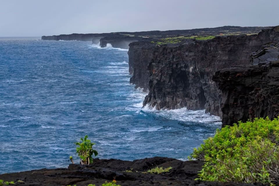 5Hōlei Sea ArchThe sea arch is gone; the black-lava coast remains.
 6Kīlauea Iki OverlookA quick rim stop above the crater of 1959's towering lava fountains.
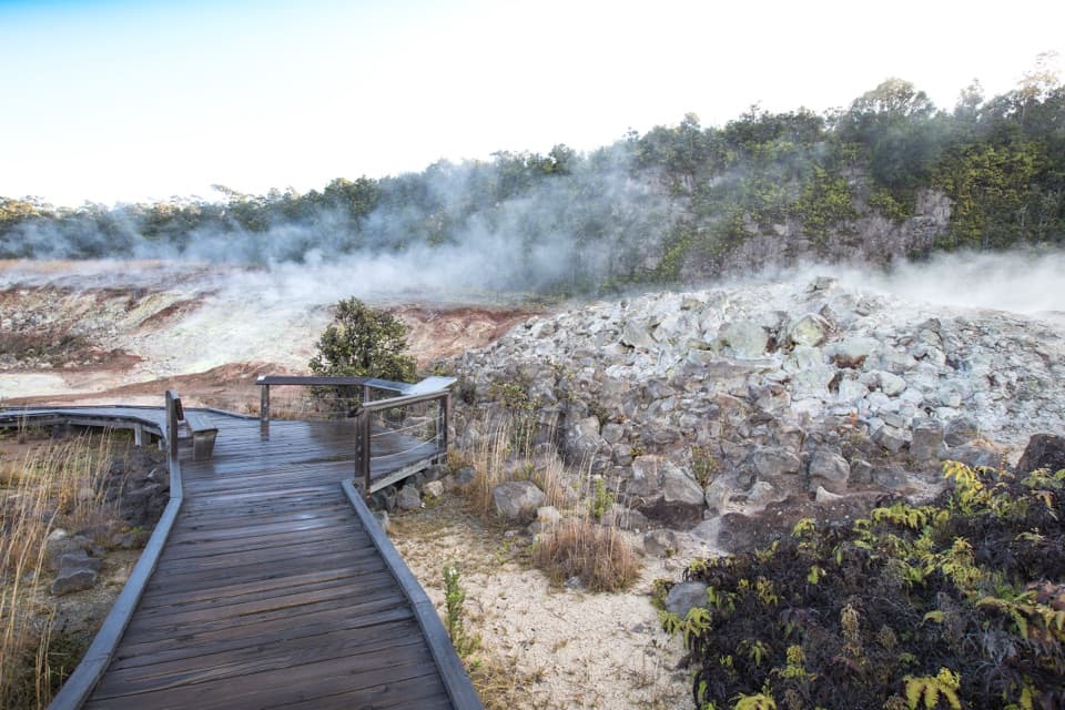 7Haʻakulamanu (Sulphur Banks)A short walk to yellow sulfur, altered rock and rising steam.
 Volcano HouseA historic hotel on Kīlauea’s rim, with the caldera at the table.
 8Kūkamāhuākea Steam Vents and WahinekapuA short walk pairs summit steam with a view into Kīlauea's caldera.
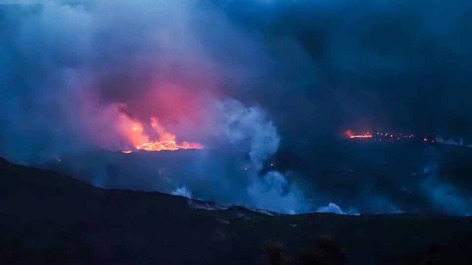 9Eruption Viewing near Keanakākoʻi OverlookA two-mile round trip to a closer Halemaʻumaʻu view.
 Welcome CenterA helpful stop for trail advice, maps and a park-store browse.
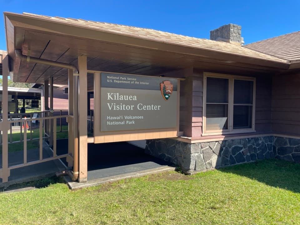 Kīlauea Visitor CenterStart here to plan a day around Kīlauea summit.
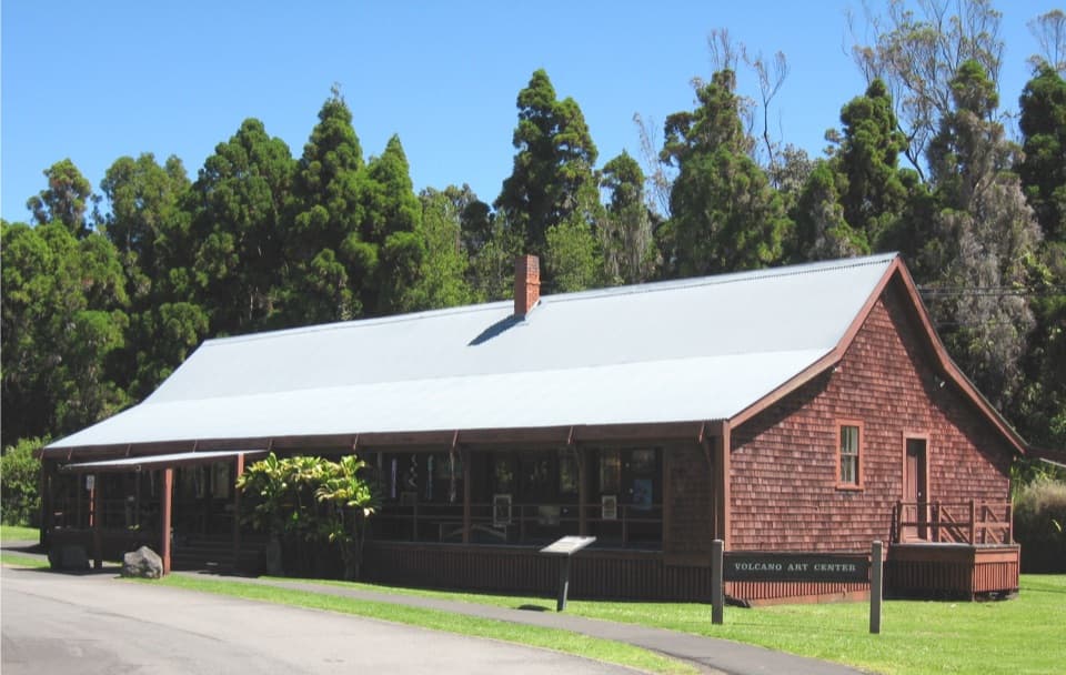 10Volcano Art Center Gallery (1877 Volcano House)Local art fills a small gallery inside Kīlauea’s 1877 hotel.
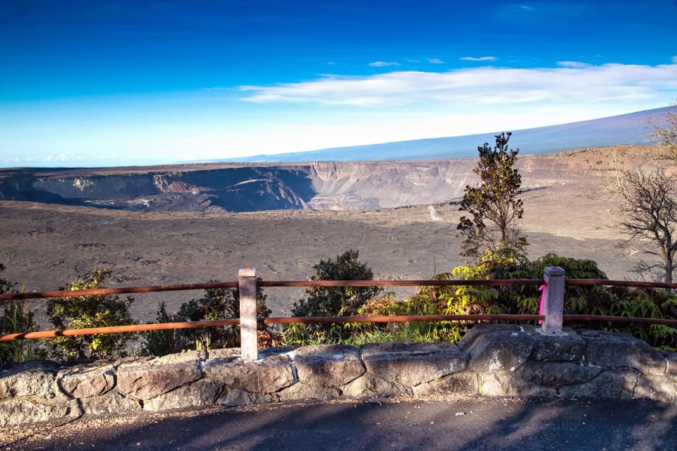 11Kūpinaʻi Pali (Waldron Ledge)A broad Kaluapele view along the cracked, abandoned Crater Rim road.
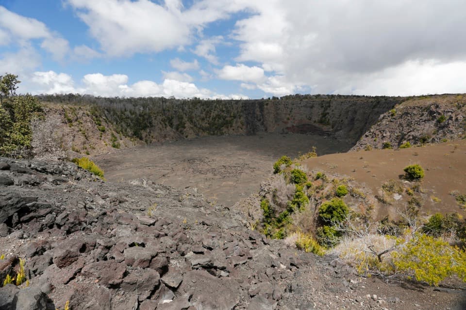 12Keanakākoʻi CraterA short old-road walk reaches a crater layered with human history.
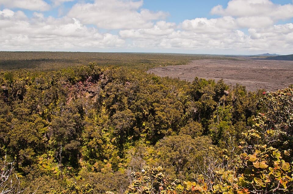 13Puʻuhuluhulu OverlookA forested cone gives a close view of Maunaulu’s lava shield.
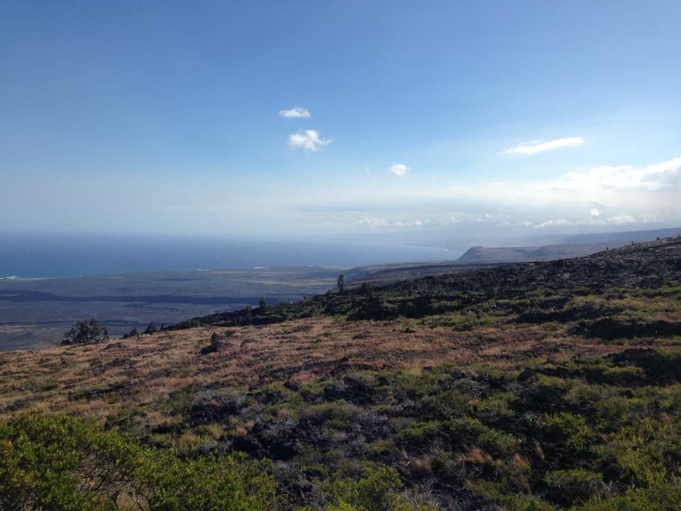 14Kealakomo OverlookA coastal overlook above a village buried by lava.
 15Puʻupuaʻi OverlookSee Kīlauea Iki from beside the cone its eruption built.
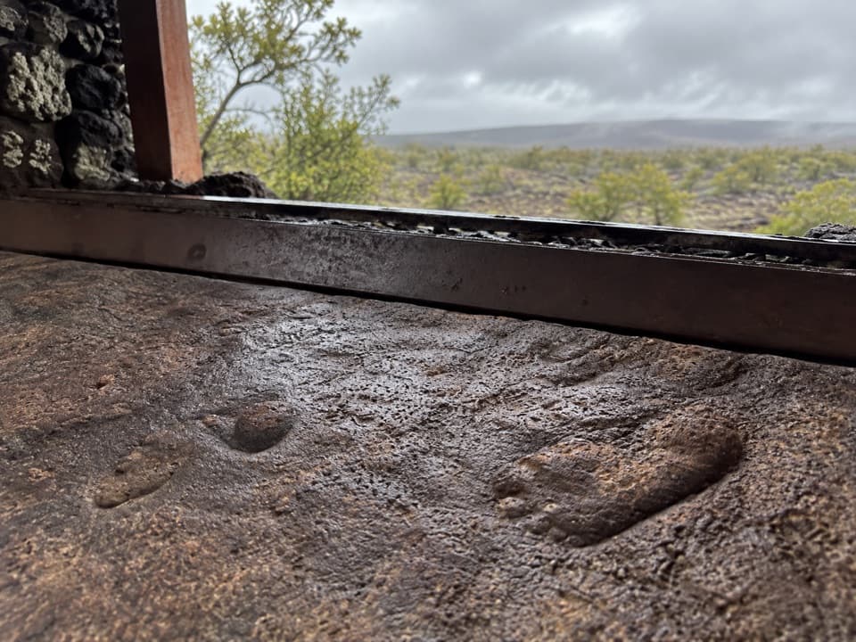 16Footprints ShelterA short walk to ancient footprints with a story still in dispute.
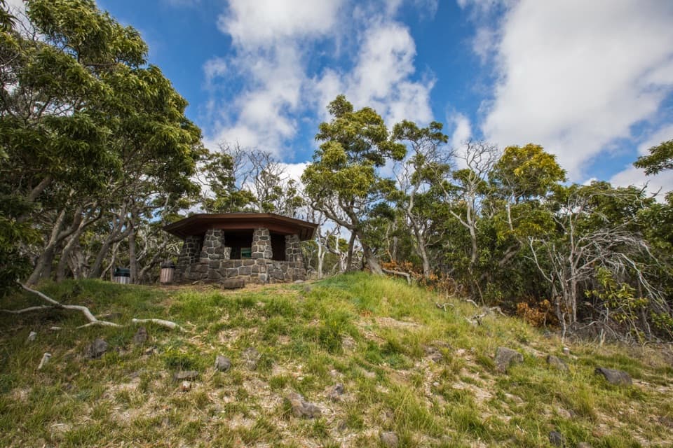 17Mauna Loa LookoutA 1937 stone shelter looks across Kīlauea from the slopes.
 18Mauna Loa SummitA demanding hike to the western rim of Mokuʻāweoweo.
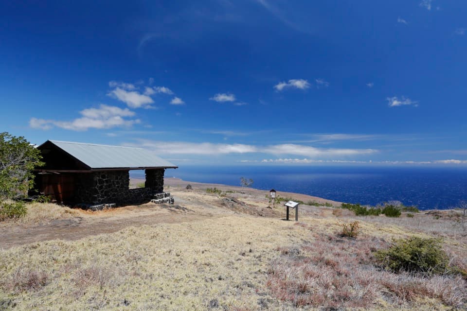 19Hilina Pali OverlookA nine-mile detour for Kīlauea’s wide-open Pacific view.
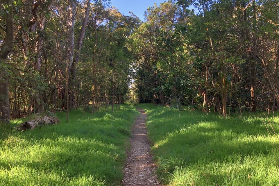 20KīpukapuauluA shaded forest island with native birds, trees, and lava history.
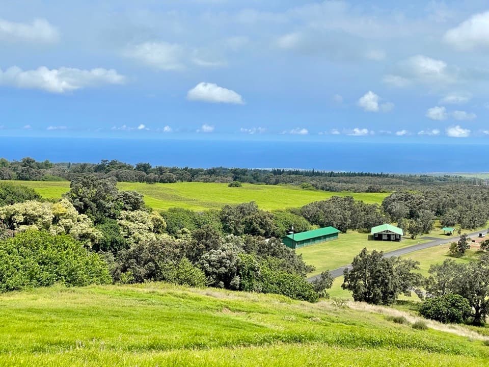 Kahuku Visitor Contact StationA useful stop before Kahuku's fields, ranchland and volcanic trails.
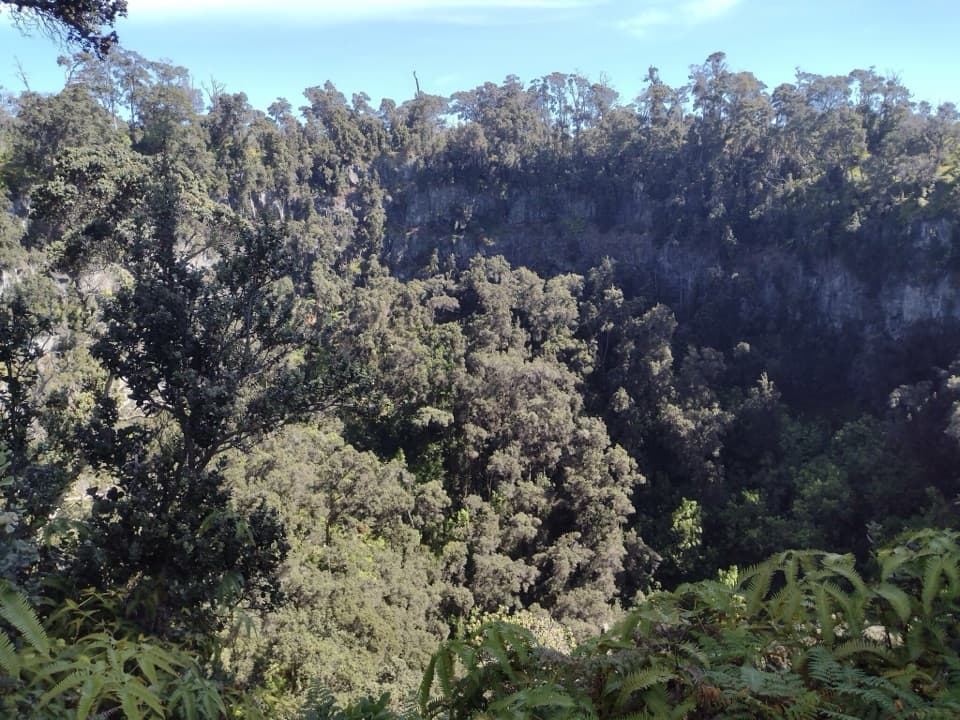 21Forested Pit CraterA long hike to the forest sheltered inside a steep crater.
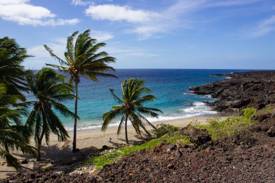 22Pōhue BayAn ancient coast preserved for its archaeology and endemic wildlife.
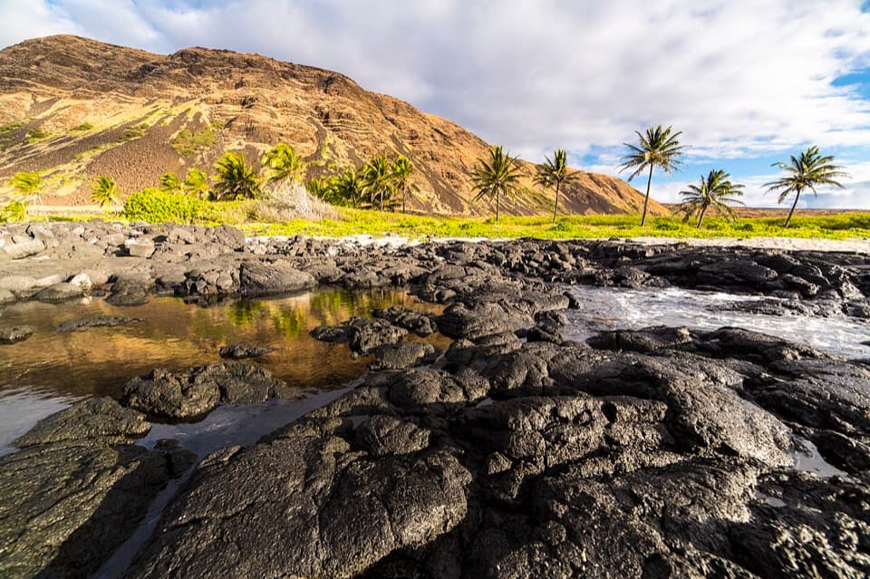 HalapēA remote beach camp for prepared backcountry hikers.
 23Makaopuhi Crater OverlookKīlauea’s largest pit crater, with a blue lava lens on its wall.
 Nāmakanipaio CampgroundA simple in-park campground with tent sites and rustic cabins.
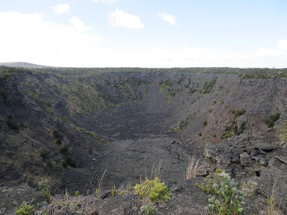 24Pauahi CraterA roadside look into a crater shaped by three eruptions.
 25Muliwai a PeleA three-day lava river left its own channels and levees.
 26Alanui KahikoA short walk reveals road pavement trapped by lava.
 27Puhimau CraterA quick roadside look into one of Kīlauea's steep-walled pit craters.
 28Mau Loa o MaunauluSee Maunaulu's glassy 1969–74 lava field from the road.
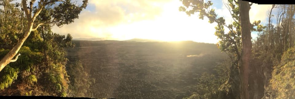 29Nāpau CraterReach Nāpau Crater by a strenuous hike over lava and through rainforest.
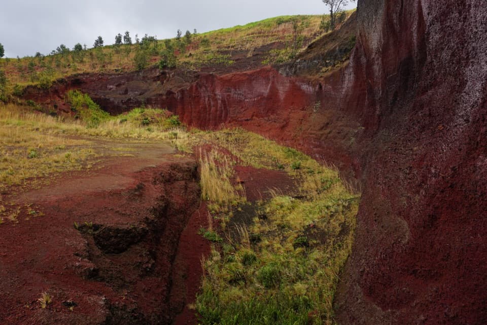 30Puʻu o LokuanaA steep little climb to red cinders and the Kaʻū coast.
 31Tree MoldsSee what a tree leaves behind when lava moves through a forest.
 32Luamanu and July 1974 FlowA crater holds the mark of lava that later drained away.
 Kīlauea Military Camp (KMC)Lodging, dining and recreation at a historic park camp.
 Kulanaokuaiki CampgroundA quiet, nine-site camp off the remote southern road.
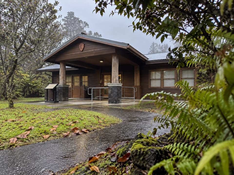 Backcountry Permit OfficeThe stop for backcountry permits and a ranger safety briefing.
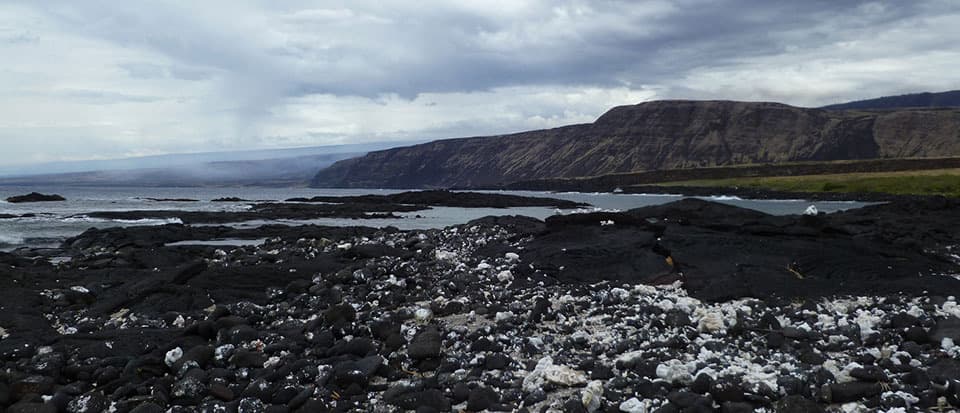 Keauhou Backcountry CampsiteA primitive shelter and rocky bay reward a hard coastal hike.
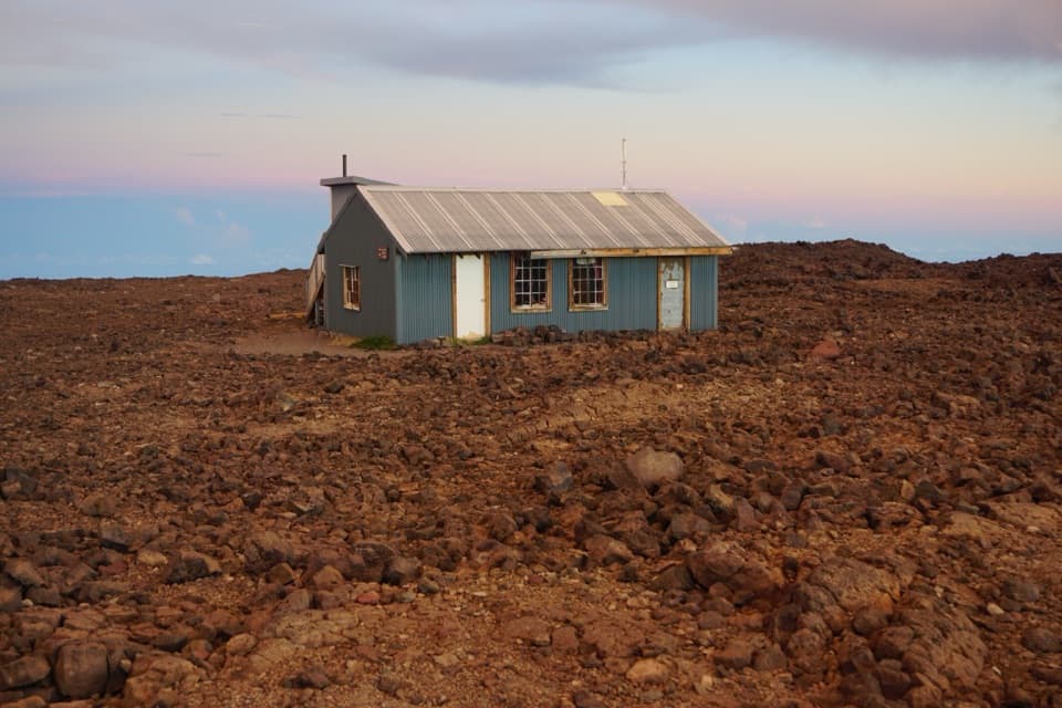 Mauna Loa Summit CabinA 13,250-foot overnight cabin on one of Earth's largest volcanoes.
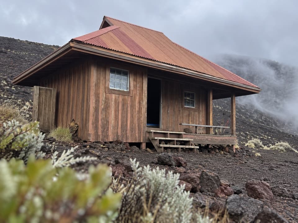 Puʻuʻulaʻula (Red Hill) CabinA high-altitude bunkhouse for a demanding Mauna Loa hike.
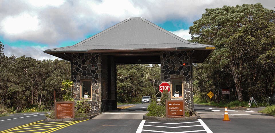 Hawaiʻi Volcanoes National Park Entrance StationSave your pass offline; reception is limited at the entrance.
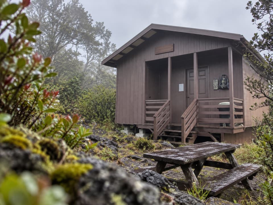 ʻĀinapō Cabin at HalewaiAn overnight shelter for the rough climb onto Mauna Loa.
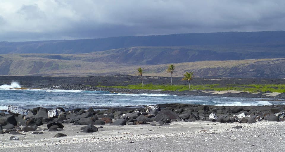 ʻĀpua PointA palm grove at the end of a long, exposed coastal hike.
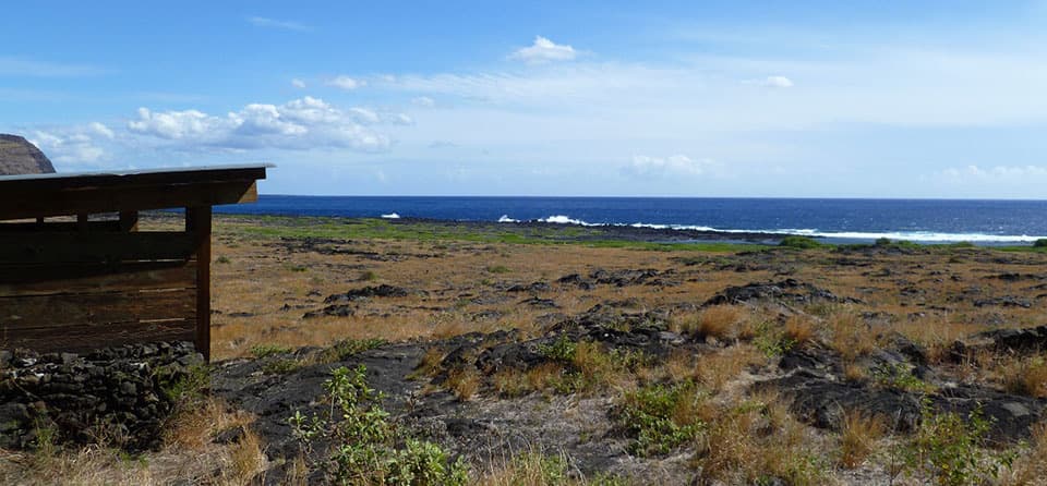 KaʻahaA remote coastal camp reached by a steep switchback descent.
 Pepeiao CampsiteA remote camp in grass and lava, reached only by long hikes.
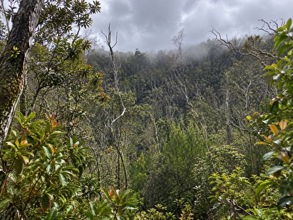 33Koʻokoʻolau Crater LookoutA pit crater with a 1958 survey marker on its rim.
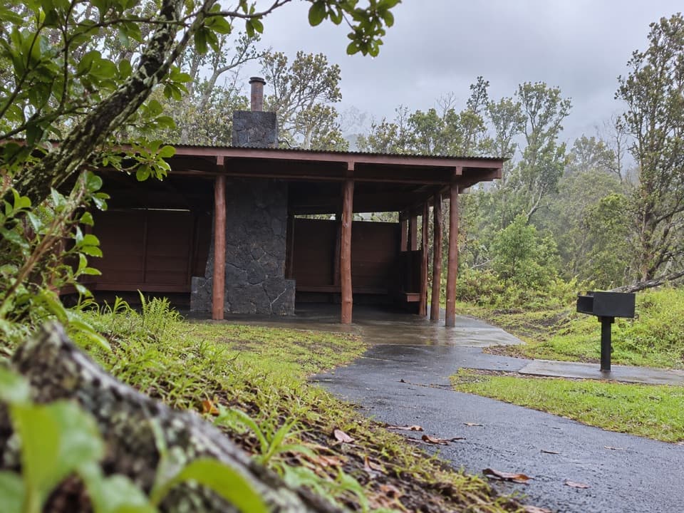 Kīpukapuaulu Picnic AreaA rain shelter and grill beside an older forest island.
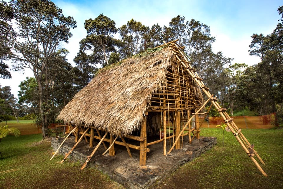 34KaʻaueaA raised hula platform and traditional hale facing Halemaʻumaʻu.
 35Hawaiʻi Volcanoes National Park Sign — Highway 11 SouthA quick keepsake photo with the park’s lava-stone sign.

The highest, rockiest slopes around here are a summer buffet for grizzly bears.
Hawaiʻi Volcanoes Tour Guide
Hawaiʻi Volcanoes, narrated.
Parkwolf is a GPS audio tour guide for Hawaiʻi Volcanoes National Park. As you drive, it chimes in with what’s ahead: hidden gems, upcoming stops, history, geology, and wildlife, right through your car’s speakers.
See the Hawaiʻi Volcanoes audio tourRecorded for this place
Uēkahuna: The Caldera View0:00 / 0:33
“You're approaching Uēkahuna, the overlook at the end of Crater Rim Drive West. I'd keep this stop even when no lava is visible. The observation deck is only about two hundred feet from parking, along an accessible route.”
Plays as you drive up to Uēkahuna in the Parkwolf Hawaiʻi Volcanoes Tour Guide.
More stories near here in the app
- Kīlauea Overlook: A View or a Rim Walk
- Nāmakanipaio: A Cool Night Among the Trees
- Tree Molds: Where the Trunks Were
- Welcome Center and KMC: Advice and a Food Break
- 58 audio storiesacross Hawaiʻi Volcanoes’s roads, triggered by GPS as you drive
- Wildlife heatmapsfor Hawaiian Goose (Nēnē), Green Sea Turtle, Hawaiian Hawk ('Io), and 13 more
- Works offlinemaps, 33 trails, 53 places, and audio download before you lose signal
- CarPlay readysimple controls built for the drive
“Fantastic app with many points of information… It’s great to just turn on while you’re driving and it gives you an audio tour of the national Park. We love it!!!!”

