

All Torres del Paine trails
35 trails
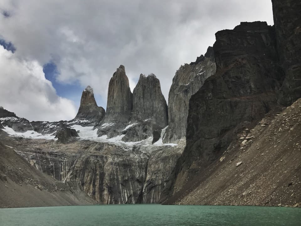 1Base Las Torres TrailA full-day climb to the lagoon beneath three granite towers.
 2W Trek (Circuito W)The Towers, French Valley and Grey Glacier, linked on foot.
 3O Circuit (Circuito Macizo Paine)Eight-day Paine massif loop over John Gardner Pass to Grey Glacier.
 4Mirador Británico TrailA steep climb into a granite amphitheater above the glacier.
 5Valle del FrancésLago Skottsberg gives way to a steep climb beneath the French Glacier.
 6Paine Grande to Refugio Grey TrailAn 11-kilometer W-route crossing with Grey Glacier in view.
 7Salto Grande to Mirador Cuernos TrailA waterfall, black-sand shore, and the Cuernos across the lake.
 8Mirador Cóndor TrailA short, steep climb to a sweeping Pehoé and Paine panorama.
 9Mirador Ferrier TrailA steep climb earns rare views of Grey and Pingo glaciers.
 10Cerro Paine TrailA steep lenga climb to Cerro Paine’s 1,508 m summit
 11Grey Glacier Suspension Bridges TrailTwo high bridges mark a backcountry walk toward Grey Glacier.
 12Playa Grey and Mirador Isla de los Hielos TrailLoose pebbles, drifting ice and a broad view across Grey Lake.
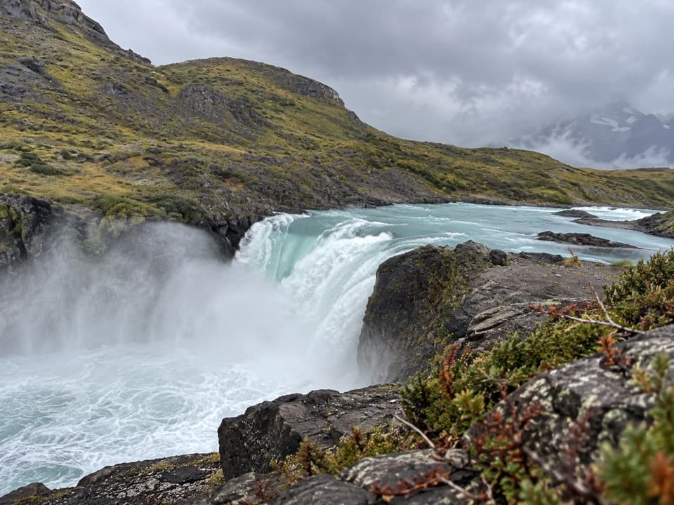 13Salto Grande Waterfall TrailA short, easy walk ends beside a roaring turquoise waterfall.
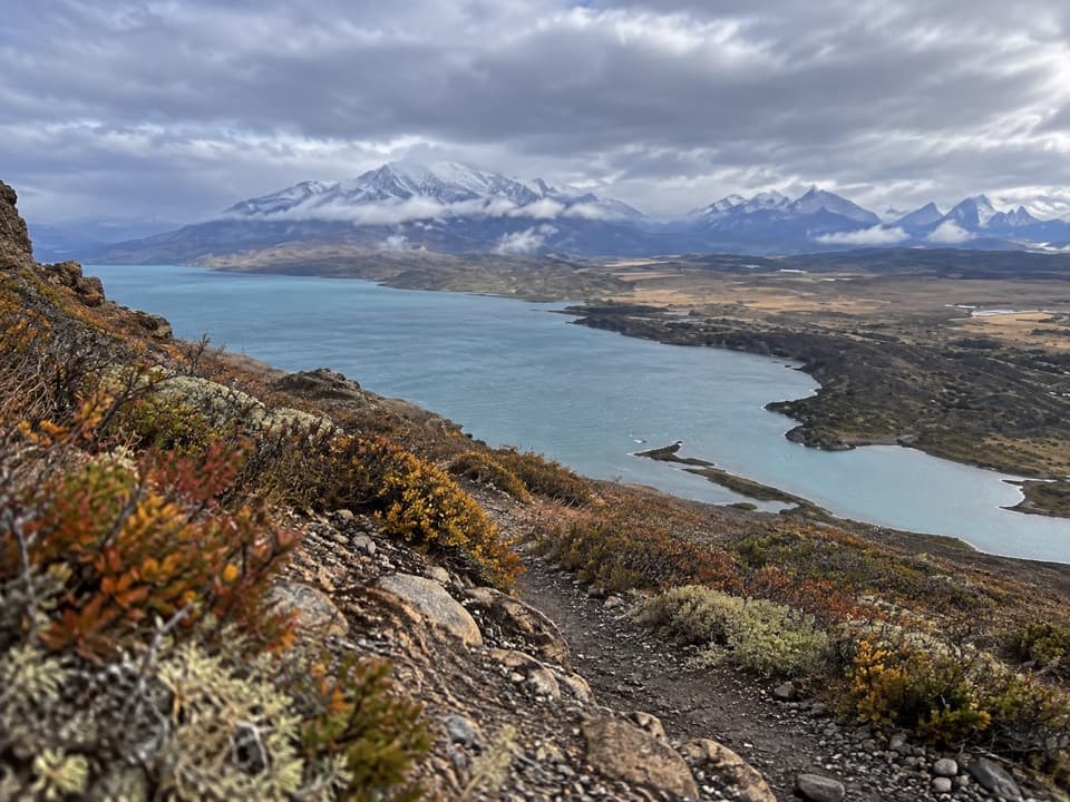 14Lazo–Weber TrailLenga forest, open lakes, and a big Lago Toro finish.
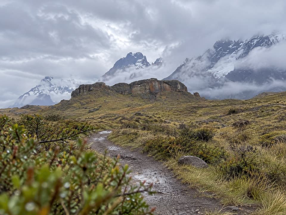 15Sendero AonikenkA guided pampa traverse past rock art to Laguna Amarga.
 16Sendero a Sector CuernosA long lakeshore walk to the jagged Cuernos peaks.
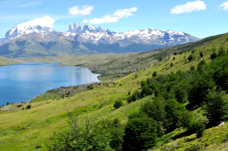 17Mirador Sierra MasleA short climb for Laguna Azul and the Towers from above.
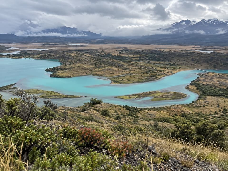 18Alto del Toro TrailA full-day traverse through old forest to a 360° Paine view.
 19Mirador Sierra del Toro TrailA steep climb above Lago del Toro to a wide Patagonian vista.
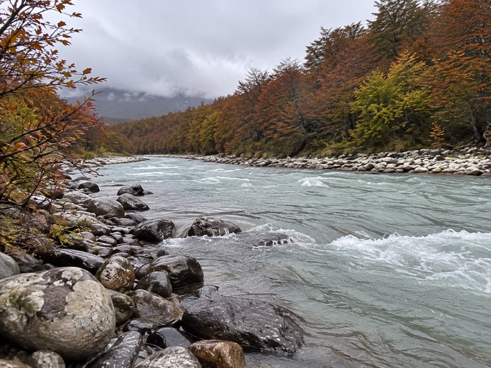 20Cascada Pingo TrailA long river valley walk through lenga forest toward a waterfall.
 21Mirador Zapata TrailA long walk through Pingo Valley to two glacier views
 22Mirador Grey Trail from Paine GrandeA rocky climb earns a distant Grey Glacier view
 23Laguna Azul–Laguna Cebolla TrailA quieter eastern view of the Torres across open steppe.
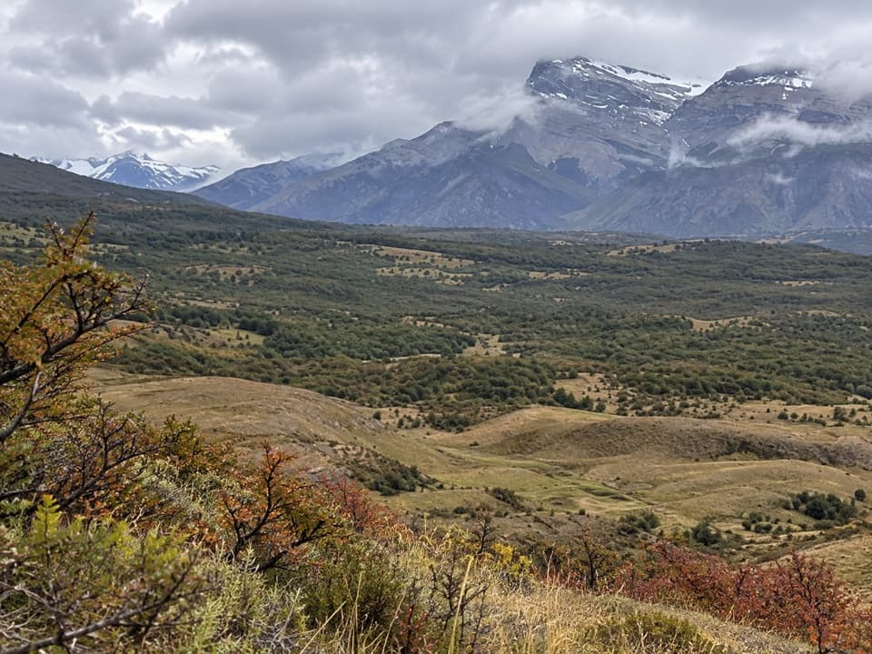 24Cañadón Macho–Loma Guanaco TrailLenga woods, open grassland, and a different view toward the Paine towers.
 25Laguna Larga to Mirador NordenskjöldA guided walk links Laguna Larga with broad Paine views.
 26Mirador Lago SkottsbergA short lake walk ends with the granite towers of Los Cuernos.
 27Lago Sarmiento – Sendero de los TrombolitosWhite thrombolites make this quiet Sarmiento shore unusual.
 28CornisasCross the ridge for a big Paine River and massif view.
 29Laguna Inge TrailA short W route to a small lagoon and a Nordenskjöld view.
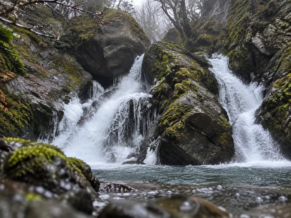 30Chorrillo de los SalmonesFollow the Pingo River to a forest waterfall lookout and return.
 31Paine Grande to Administration TrailA long one-way mountain walk from Paine Grande to park Administration.
 32Laguna Azul Shore WalkA relaxed lakeshore walk with the Paine Towers across blue water.
 33Sendero MisceláneoA short shore walk links Puente Weber with park administration.
 34Ribera Paine TrailAn easy loop over low hills to the Paine River
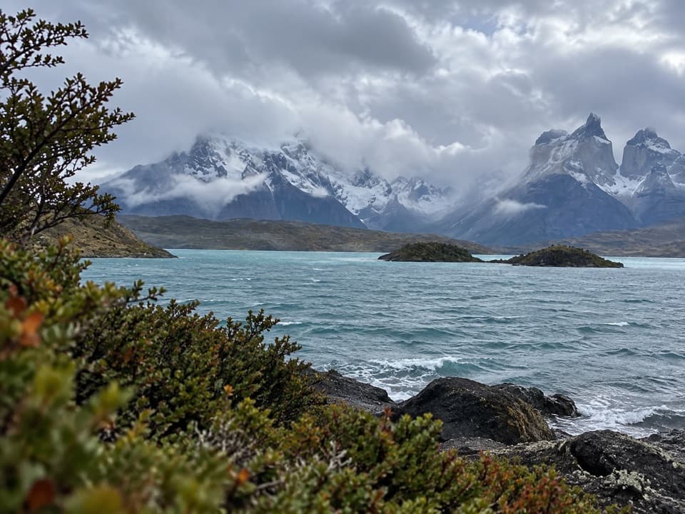 35Mirador Cardán TrailA short walk to a beach below Los Cuernos.

The highest, rockiest slopes around here are a summer buffet for grizzly bears.
Torres del Paine Tour Guide
Torres del Paine, narrated.
Parkwolf is a GPS audio tour guide for Torres del Paine National Park. As you drive, it chimes in with what’s ahead: hidden gems, upcoming stops, history, geology, and wildlife, right through your car’s speakers.
See the Torres del Paine audio tourRecorded for this place
Las Torres: Before the Climb0:00 / 0:34
“You're approaching the Las Torres sector, the starting area for the walk to the lake beneath the three granite towers.”
Plays as you drive up to Mirador Base Torres in the Parkwolf Torres del Paine Tour Guide.
More stories near here in the app
- Darwin's Dinner Specimen
- Two Foxes, More Than One Color
- 81 audio storiesacross Torres del Paine’s roads, triggered by GPS as you drive
- Wildlife heatmapsfor Puma, Andean Condor, Guanaco, and 13 more
- Works offlinemaps, 35 trails, 56 places, and audio download before you lose signal
- CarPlay readysimple controls built for the drive
“Fantastic app with many points of information… It’s great to just turn on while you’re driving and it gives you an audio tour of the national Park. We love it!!!!”

