
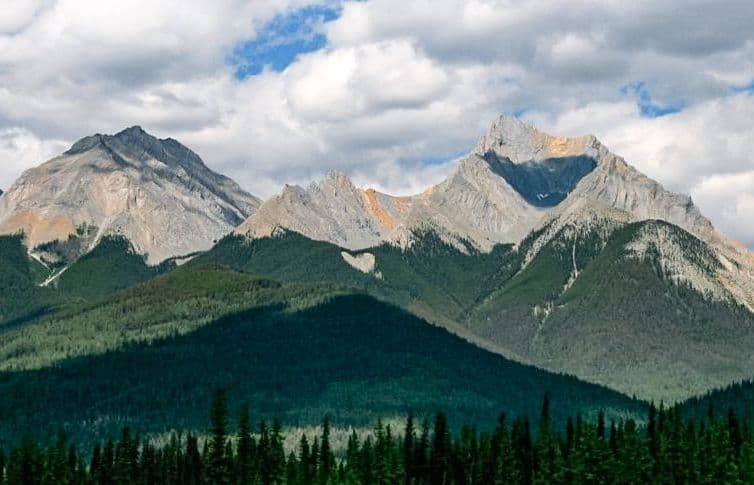
All Kootenay trails
38 trails
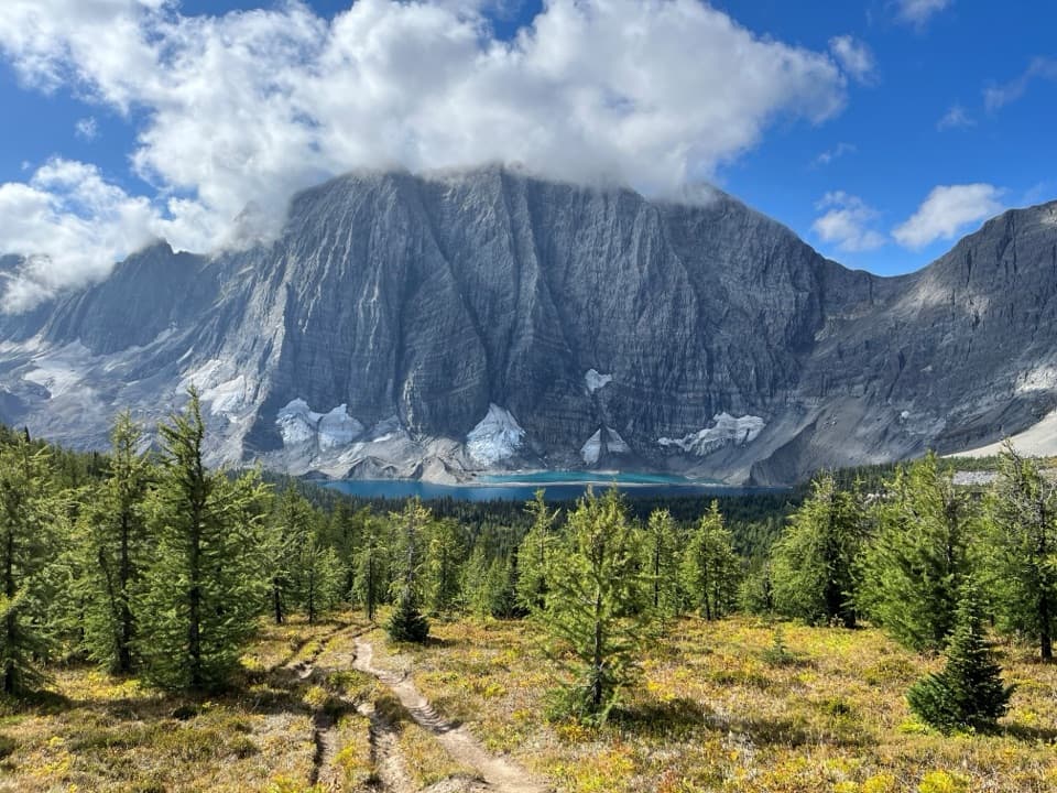 1Rockwall TrailThree passes, the Rockwall, and Floe Lake anchor an alpine traverse.2Floe LakeA long climb pays off at a turquoise lake under the Rockwall.
 3Stanley GlacierA steady forest climb to waterfalls below the glacier-carved Guard Wall.
 4Marble CanyonAn easy bridge walk over a startlingly deep, turquoise canyon.
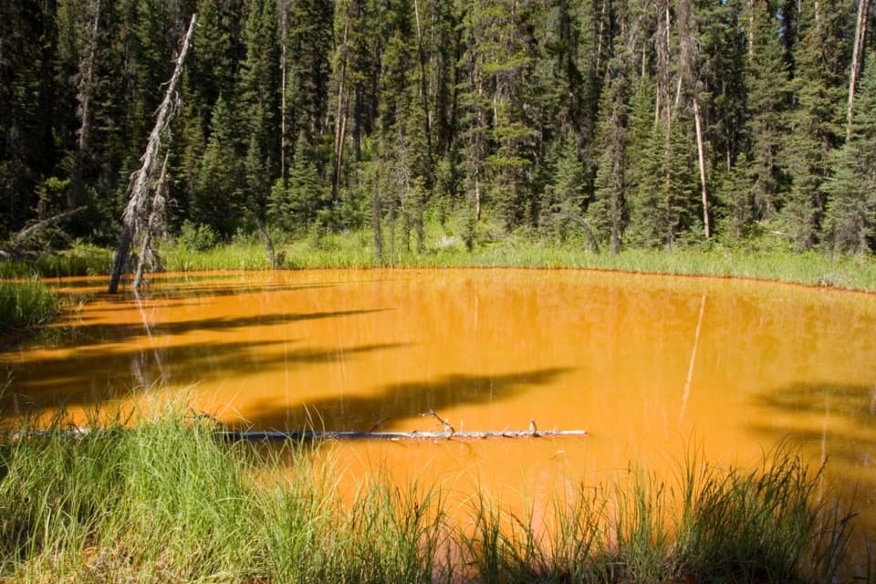 5Paint Pots TrailCross the Vermilion River to three iron-rich springs.
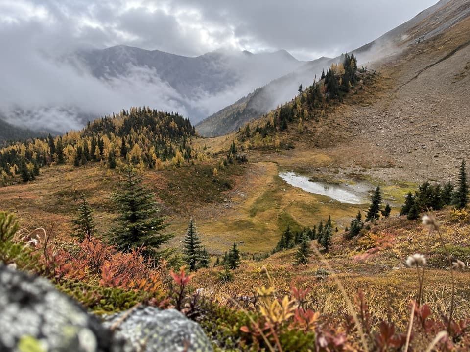 6Kindersley-Sinclair LoopA hard climb through meadows to a high col; arrange the shuttle.
 7Numa Pass TrailA short climb to an open saddle high above Floe Lake.
 8Tumbling - Helmet - Ochre LoopTwo or three days among alpine meadows, Helmet Falls and the Rockwall.
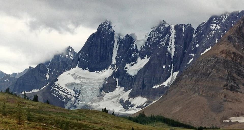 9Tumbling-Floe TraverseA two-to-three-day traverse from Paint Pots to Floe Lake.10Helmet Creek TrailA long hike from ochre springs to a 300 m waterfall.
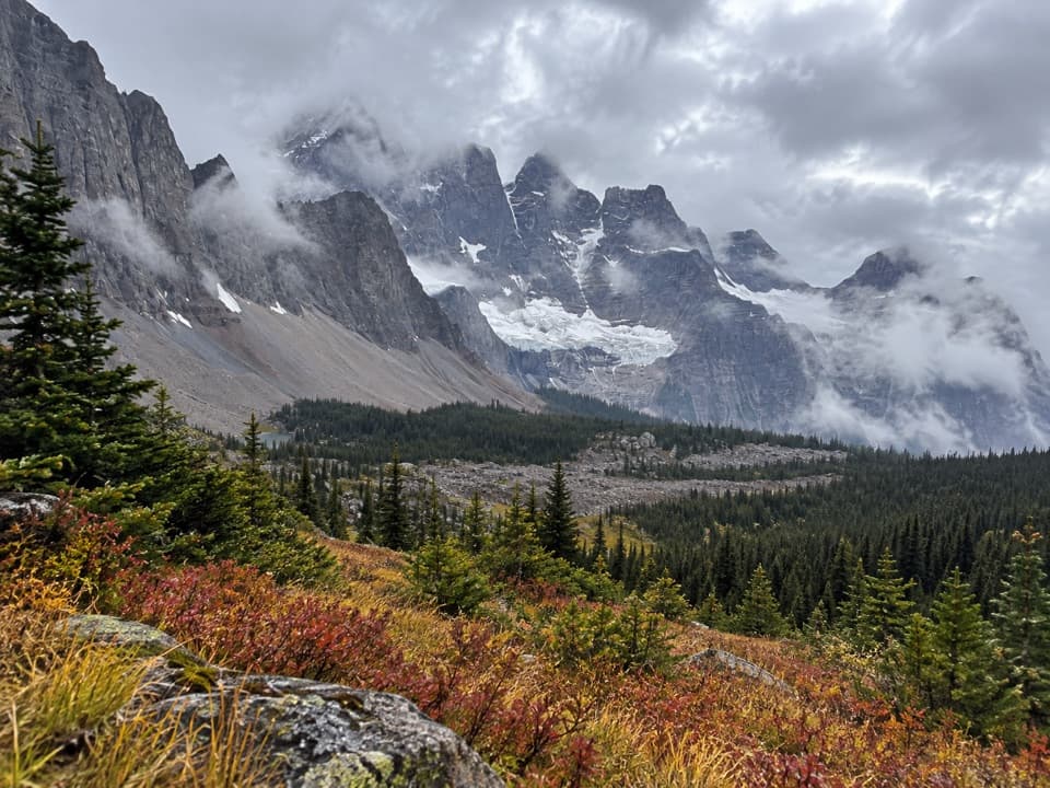 11Goodsir Pass Side TripA steep climb to a high pass beneath the jagged Goodsir peaks.
 12Ball PassA hard climb to a high pass, glacier views and a meadow
 13Olive Lake TrailA quick boardwalk break gives you an emerald lakeshore in minutes.
 14Sinclair CanyonA short ridge walk into the canyon above Radium.
 15Dog Lake LoopTwo Kootenay River bridges lead through old growth to Dog Lake.
 16Letwilc7úl̓ecw LoopA short meadow loop with Secwépemc plant interpretation
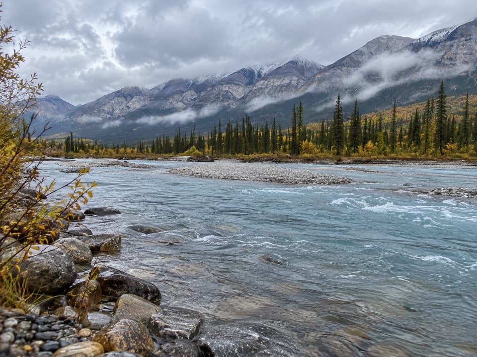 17Simpson River TrailWildfire recovery on two rivers, with an easy 1.6 km turnaround.
 18Kindersley PassA big climb with its broadest views beyond the pass.
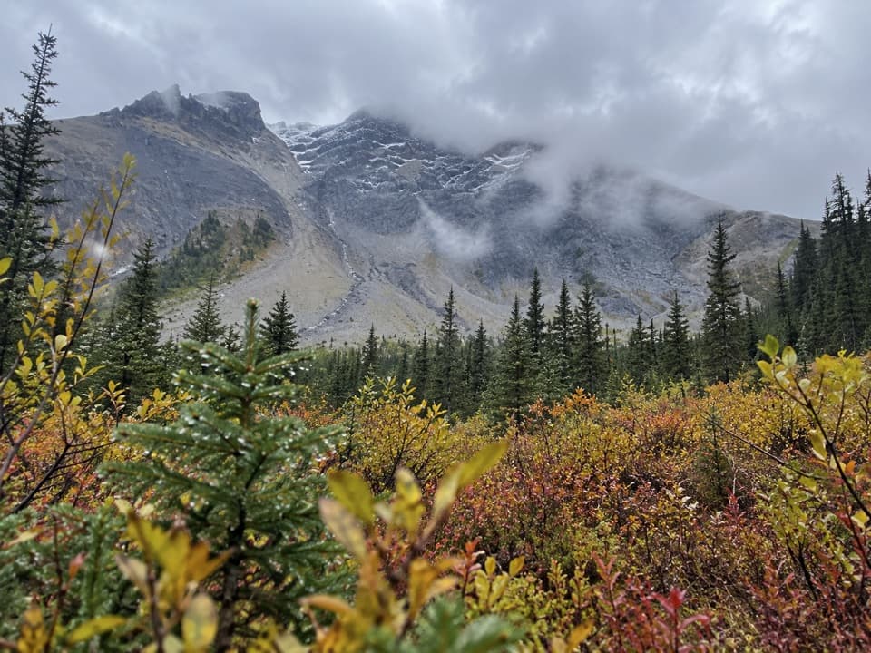 19Sinclair Creek TrailA steep climb from the creek to alpine meadows below the col.
 20Tumbling Creek TrailA hard climb to Tumbling Falls and a gateway to the Rockwall.
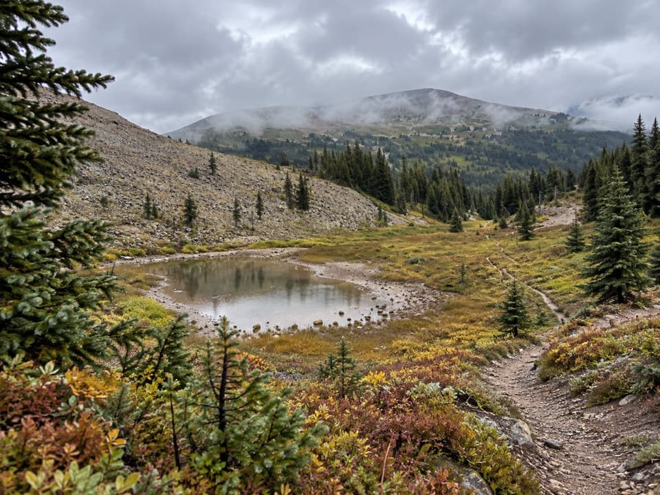 21Wolverine PassA steep climb from creek forest to the Rockwall divide.
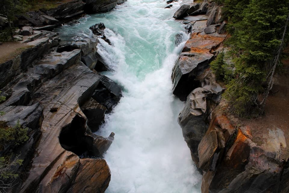 22Numa Falls TrailA quick stop where the Vermilion squeezes through sculpted limestone.
 23Cobb Lake TrailA forested out-and-back to a quiet lake, with a steady climb back.
 24Redstreak LoopA short forest loop climbs to a bench above the Columbia Valley.
 25Valleyview TrailA short climb from Radium opens to a broad Columbia Valley view.
 26Hot Springs TrailA cool forest path links Redstreak Campground with Radium's hot pools.
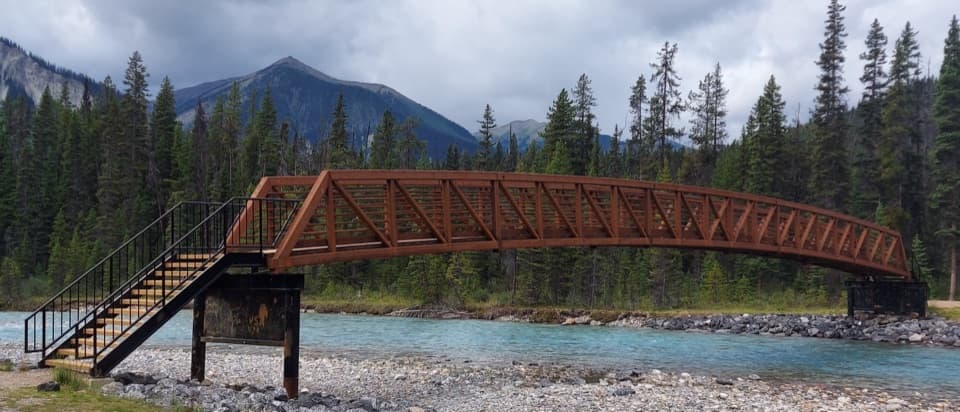 27Vermilion River TrailA forest connector between Marble Canyon and the Paint Pots.
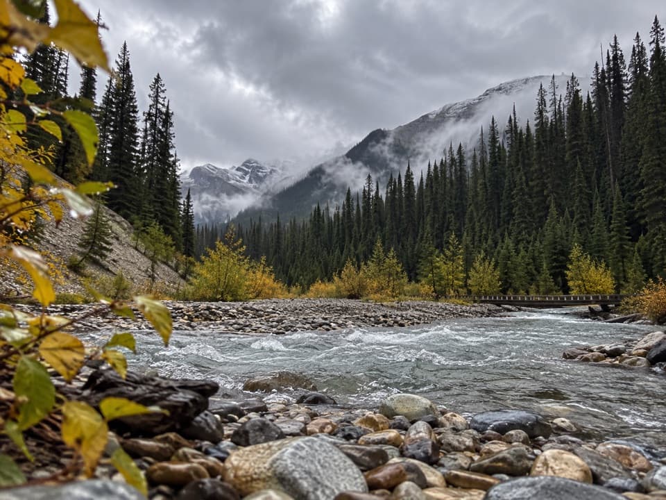 28Ochre Creek TrailA forested creek walk to the northern Rockwall campground.
 29Juniper–Hot Springs LoopA loop from Radium's pools through wet forest and Sinclair Canyon.
 30Kimpton CreekA shaded creek walk on a narrow, sometimes rough forest trail.
 31Redstreak Creek TrailA quiet creek walk with a steady climb through shaded forest.
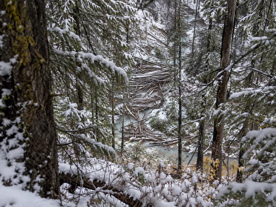 32Numa Creek TrailA shaded creekside approach to the Rockwall's Numa Creek camp.
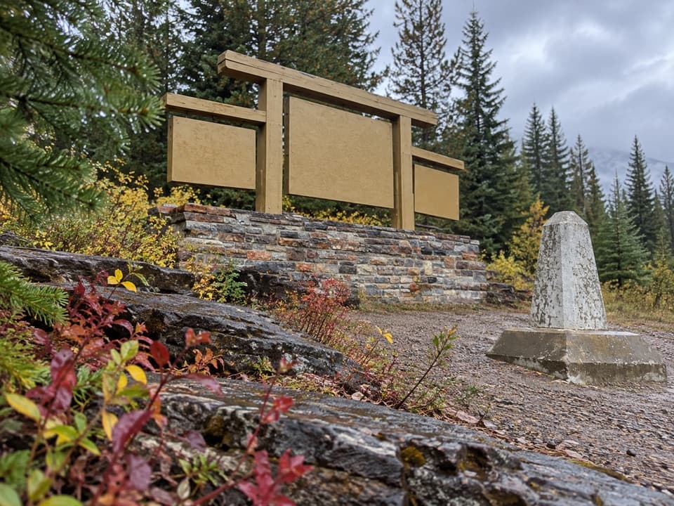 33Fireweed LoopA shaded little loop through the 1968 fire’s recovering forest
 34Chickadee ValleyA winter valley outing where you have to find the line.
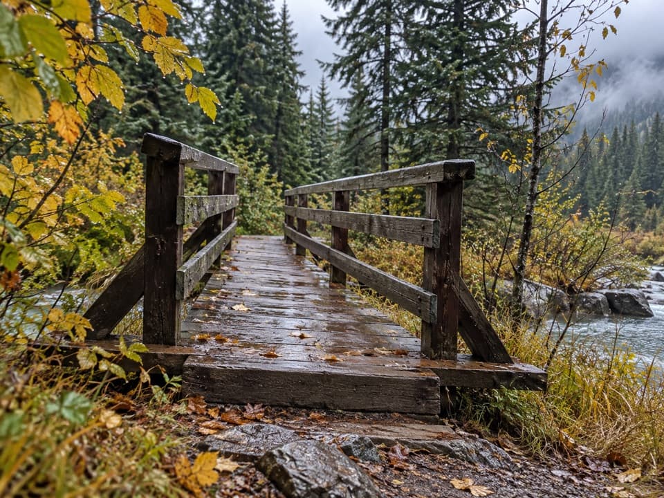 35East Kootenay TrailAn easy fire road to Daer Creek with two river bridges.
 36West Kootenay TrailA nearly level old fire road reaches Kootenay’s western edge.
 37Tokumm Creek TrailA creekside wilderness route with no trail maintenance.
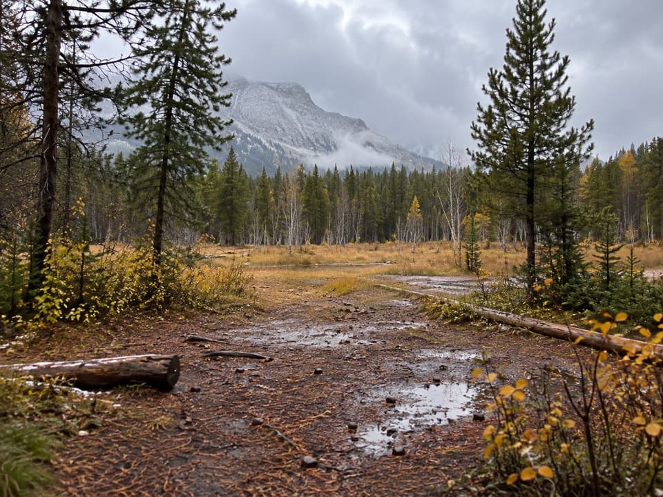 38Ottertail Pass TrailA faint backcountry route to open meadows below the pass.

The highest, rockiest slopes around here are a summer buffet for grizzly bears.
Kootenay Tour Guide
Kootenay, narrated.
Parkwolf is a GPS audio tour guide for Kootenay National Park. As you drive, it chimes in with what’s ahead: hidden gems, upcoming stops, history, geology, and wildlife, right through your car’s speakers.
See the Kootenay audio tourRecorded for this place
Radium Hot Springs: A Soak in the Canyon0:00 / 0:29
“You're approaching Radium Hot Springs, where you can swap the car seat for a warm mineral pool in Sinclair Canyon.”
Plays as you drive up to Radium Hot Springs in the Parkwolf Kootenay Tour Guide.
More stories near here in the app
- Sinclair Canyon: Through the Red Cliffs
- Redstreak Campground: A Base Above Radium
- Who Moves Into a Woodpecker Hole?
- Redstreak Road Lookout: Radium and the Valley
- 49 audio storiesacross Kootenay’s roads, triggered by GPS as you drive
- Wildlife heatmapsfor Grizzly Bear, Gray Wolf, Moose, and 13 more
- Works offlinemaps, 38 trails, 29 places, and audio download before you lose signal
- CarPlay readysimple controls built for the drive
“Fantastic app with many points of information… It’s great to just turn on while you’re driving and it gives you an audio tour of the national Park. We love it!!!!”

